The 20 Most Amazing Peaks around la Vall de Gallinera
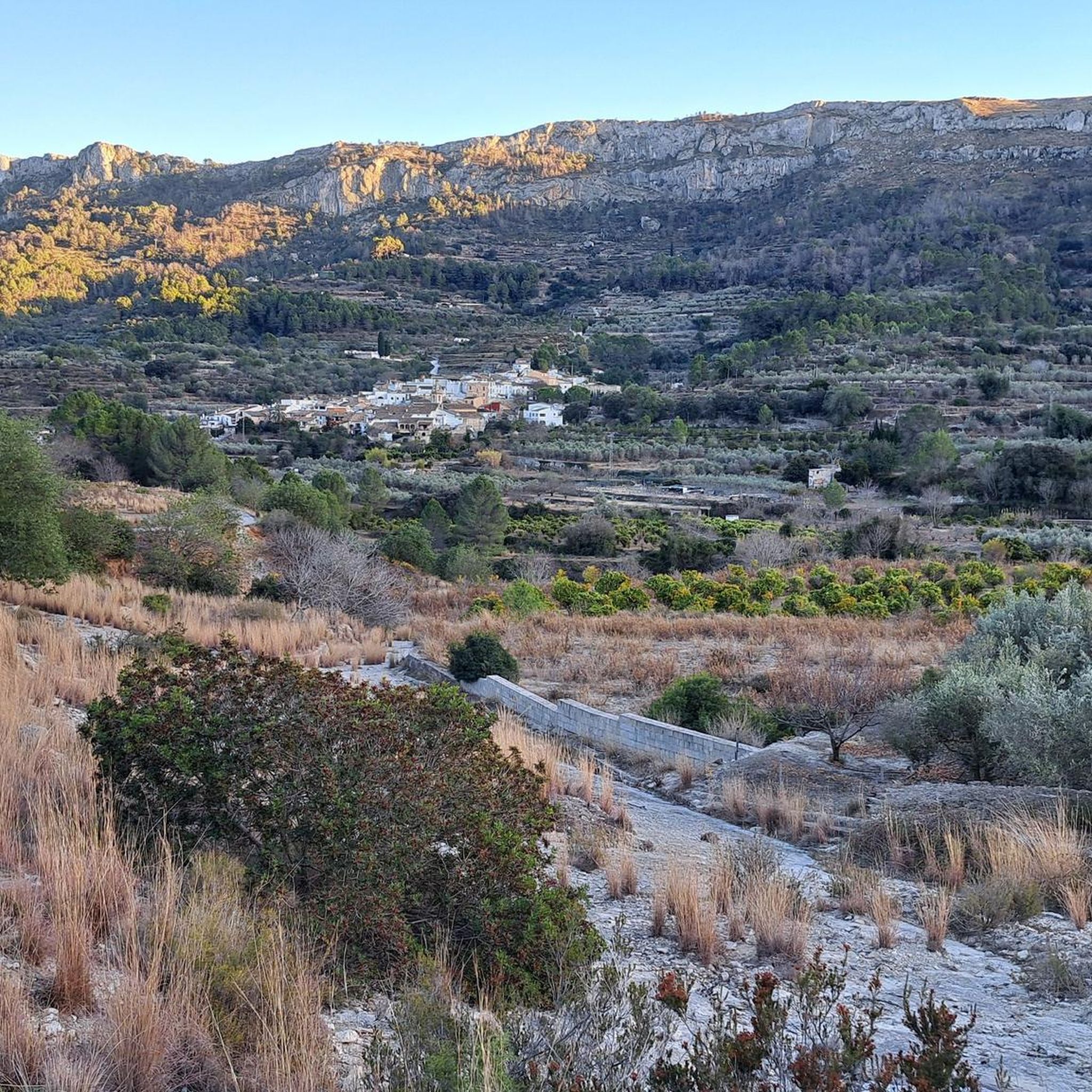
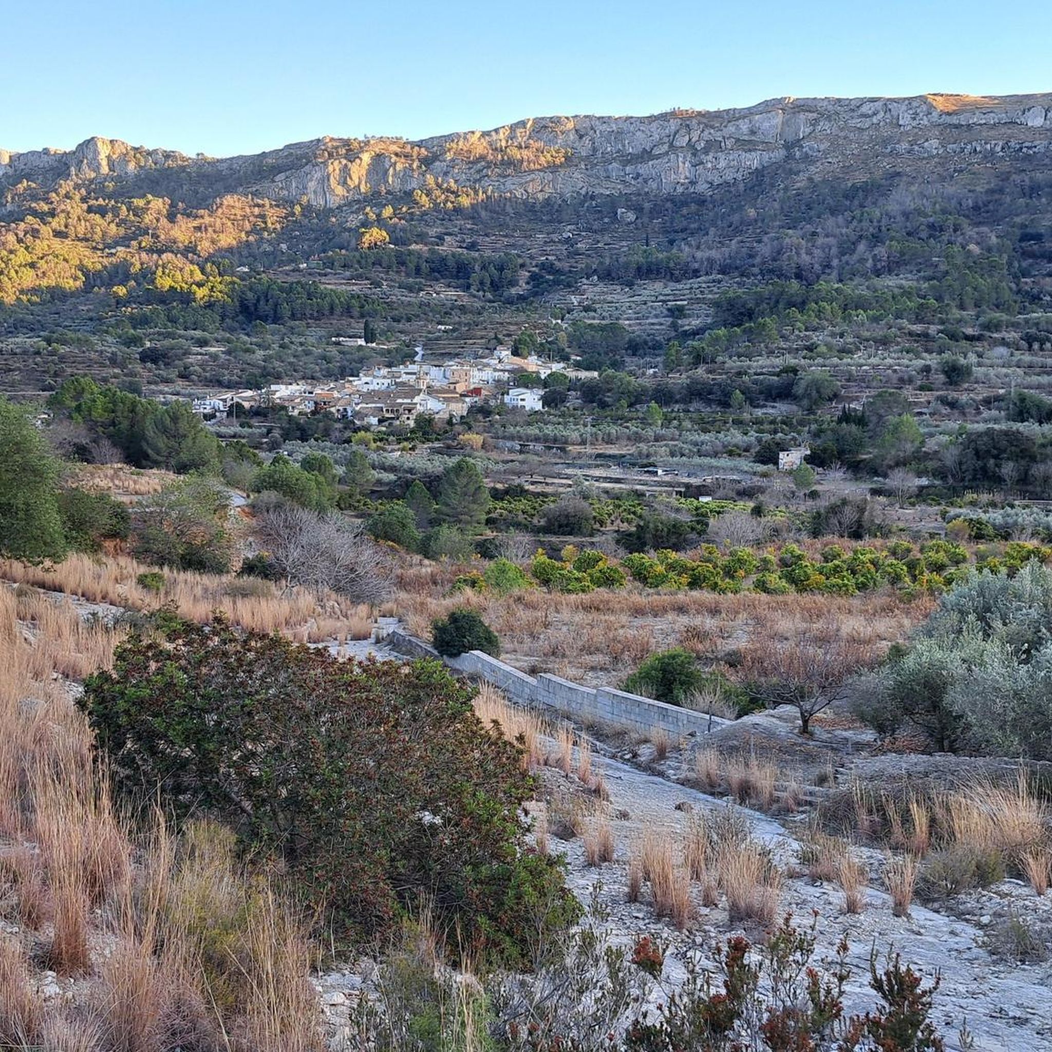
Best mountain peaks around la Vall de Gallinera are found in a valley nestled in the Marina Alta region of Alicante, Spain. This area is characterized by rugged terrain and impressive mountain ranges, offering numerous opportunities for exploration. The valley's natural boundaries include the Serra de L'Almirant to the north and the Sierra de Foradada to the south. The region provides a diverse landscape for hikers and nature enthusiasts.
Best mountain peaks around la Vall de Gallinera
- The most popular mountain peaks is Penya Foradà, a natural monument known for its distinctive arch or "hole" through the mountain. This formation offers spectacular views of the entire valley and is famous for a natural phenomenon where the sun's rays pass through the arch twice a year.
- Another must-see spot is Mirador de Cocoll, a viewpoint and summit. From the top, visitors can enjoy a panoramic view, reaching a geodesic vertex next to a forest observatory.
- Visitors also love Cim de la Safor (1,013 m), a challenging summit. This peak offers extensive views of the La Safor and Marina Alta areas, including towns like Gandia and Oliva.
- la Vall de Gallinera is known for its diverse mountain peaks, including natural monuments, viewpoints, and challenging summits. The area offers a variety of mountain peaks to see and explore, from iconic rock formations to high-altitude viewpoints.
- The mountain peaks around la Vall de Gallinera are appreciated by the komoot community, with more than 80 upvotes and 59 photos shared.
Last updated: October 11, 2026
Penya Foradà
Highlight • Natural Monument
Formed naturally by erosion over time by wind and water, it also has the particularity that twice a year, precisely in March and October, the sun lines up with the arch and can be seen right through it, providing a matchless show.
Climbing to the top can be a challenge but the views will be more than rewarding!
Translated by Google •
Tip by

View of Alt de Benicadell
Highlight • Summit
Translated by Google •
Tip by

Sign up now to discover places like this
Get recommendations on the best single tracks, peaks, & plenty of other exciting outdoor places.
Red Rock
Highlight • Summit
To reach its top, it is necessary to overcome a couple of via ferratas that are not difficult but require caution to stand on the steps and hold on firmly to the chains, remembering that you go up and down the same section. If you don't want to do the via ferrata, you can get to where it begins and from there the views are also very beautiful!
Translated by Google •
Tip by
Mirador de Cocoll
Highlight • Viewpoint
The route to this summit can be started from Benigembla. Or, from Castell de Castells passing quite close to the natural area of Els Arcs.
The last section towards the Cim del Cocoll along the PR-CV 427 runs near the Paraje de Els Arcs. In fact, you begin to climb along a track in good condition at just over 722 meters above sea level that leads towards the location of the Corrales de Plans d'Aialt. Although, the first 400 meters along this track do not have a slope.
There is no doubt that it is a spectacular natural environment. And, walking along the track that leads to Cocoll, you will also see Es Crestall and Es Pla de Sa Cova.
Translated by Google •
Tip by

Cim de la Safor (1,013 m)
Highlight • Summit
Translated by Google •
Tip by

Sign up for free to discover even more peaks around la Vall de Gallinera.
Already have an account?
Start today with a free account
Your next adventure awaits.
Popular around la Vall de Gallinera

Tips from the Community

Fantastic views and nice rocks to sit and have your lunch. Large flat area for large walking groups. Accessible from Murla on a steep SAC T3 path via the Hermita and Penya Migdia which does not include any chains or staples - BUT - if you continue west along the route there are chains and staples SAC T4 and T5 to negotiate. The T5 is a descent heading west to east and appears more daunting than if you were making an ascent. In my humble view it does not warrant a T5 rating. In reality any average competent walker will not experience any significant problem.
1
0

There are several points along this route from which you can admire the impressive silhouette of the Benicadell massif. The Alt de Benicadell, with a height of 1,105 metres, is a prominent peak in the Sierra de Benicadell, which forms a natural border between the provinces of Valencia and Alicante. The region around the Benicadell offers numerous opportunities for cycling tours that lead through varied landscapes with impressive views.
6
0

This section is "off-piste" to get to the top of Cavall Verd. It involves staples, a chain and some steep rock. This part of the trail must be descended the same way as you clambered up.
0
0

One of the ideal towns for mountain biking in the Marina Alta is Castell de Castells. From there you can climb to the Cima del Cocoll. It is an ascent of moderate difficulty in which you can climb to the geodesic vertex which is next to a forest observatory. From the top there is a beautiful panoramic view. The route to this summit can be started from Benigembla. Or, from Castell de Castells passing quite close to the natural area of Els Arcs. The last section towards the Cim del Cocoll along the PR-CV 427 runs near the Paraje de Els Arcs. In fact, you begin to climb along a track in good condition at just over 722 meters above sea level that leads towards the location of the Corrales de Plans d'Aialt. Although, the first 400 meters along this track do not have a slope. There is no doubt that it is a spectacular natural environment. And, walking along the track that leads to Cocoll, you will also see Es Crestall and Es Pla de Sa Cova.
0
0

From the TOP of the mountain one can have great view of La SAFOR and MARINA ALTA areas (nice view of Gandia and Oliva towns). Unfortunately, due to very rich vegetation (high trees) it is not possible to enjoy a 360 degree view similar to option which one has by hiking up Montuver mountain. Short video about this hike could be found under the following link: https://www.youtube.com/watch?v=j-mfyWy6RzQ
1
0

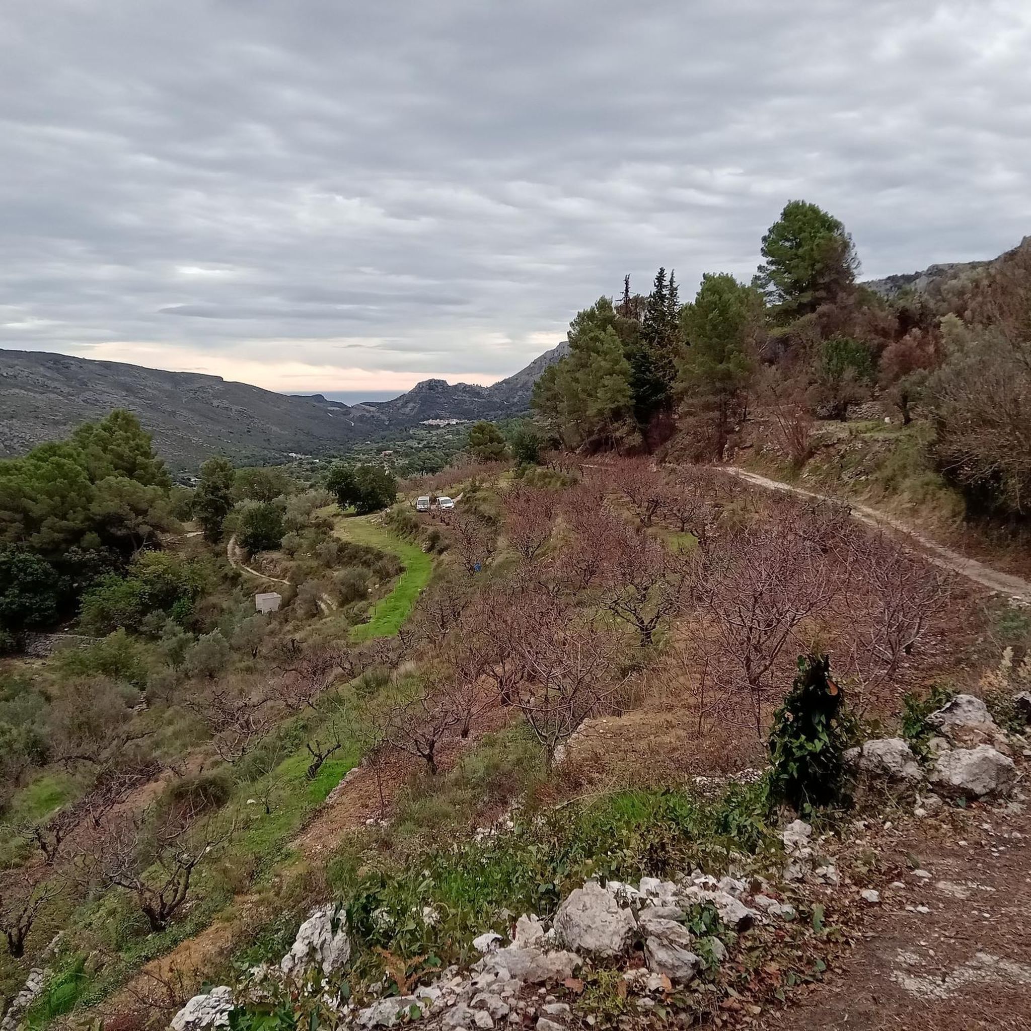
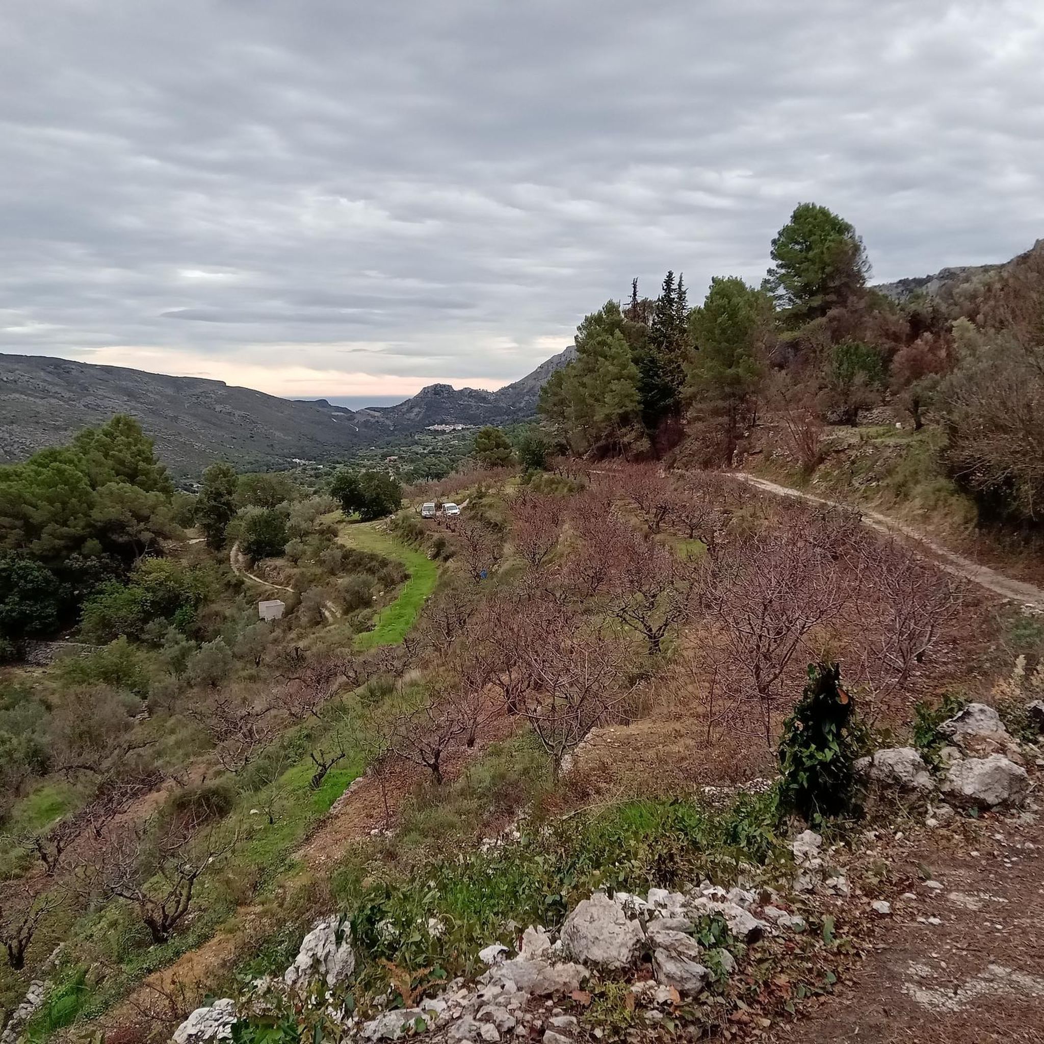
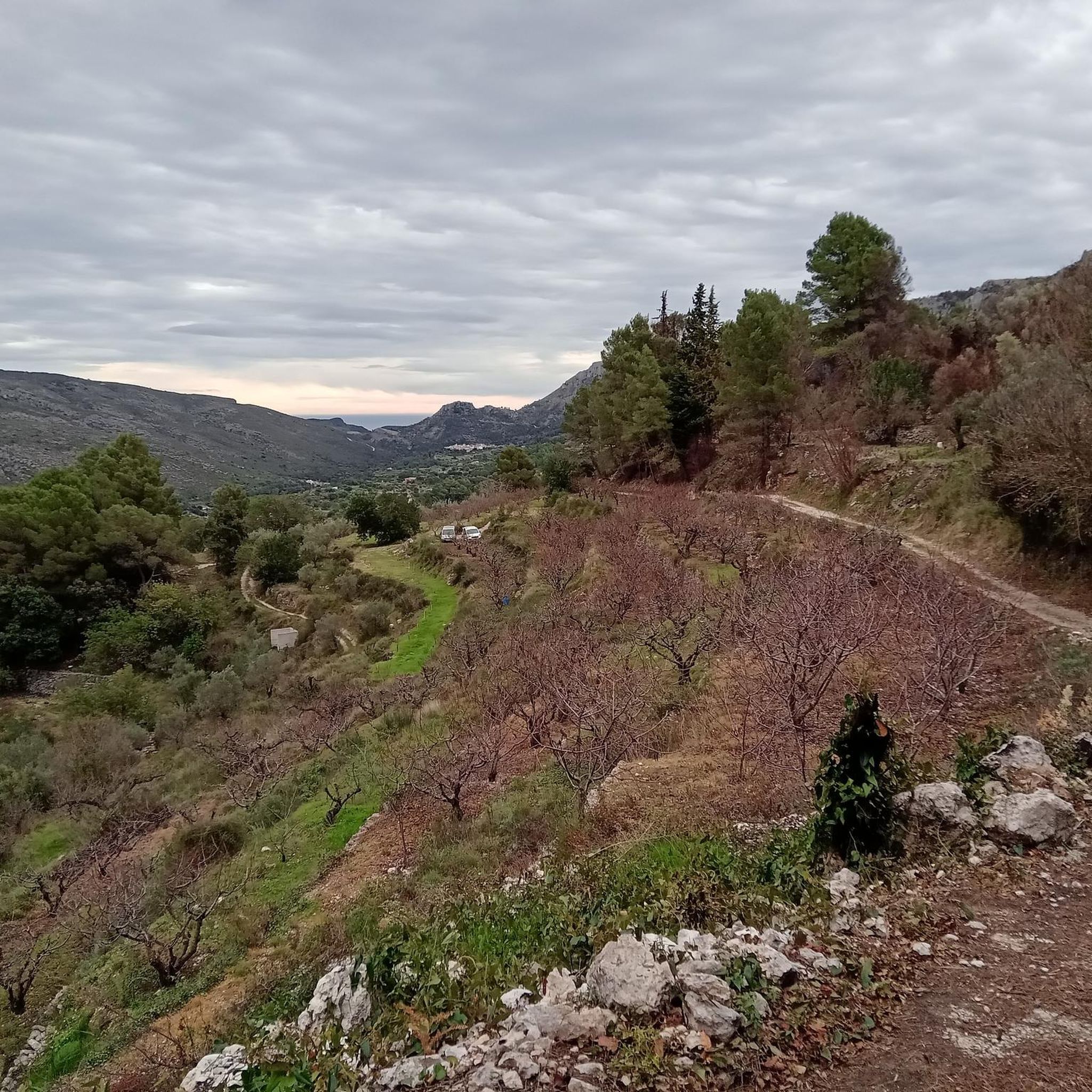
Now it's cherry blossom. All levels of maturity can be seen.
0
0

The best place to take a break, eat and drink.
1
0
Joan Pellicer described it as "a watchtower of light, a swaying arch and well drawn by chance, an eye looking at the sea, a portal open to those who seek, the moons and sea breezes, the Peña Foradada, grotesque, beautiful and Gaudinian..." .
1
0
Frequently Asked Questions
What are some of the most distinctive mountain peaks and features in La Vall de Gallinera?
La Vall de Gallinera is home to several unique mountain features. The most iconic is Penya Foradà, known for its natural arch or "hole" through the mountain. Another significant peak is Cim de la Safor (1,013 m), the highest point in the valley, offering extensive views. The Serra de L'Almirant also forms a prominent natural boundary to the north, contributing to the valley's rugged beauty.
Are there any unique natural phenomena associated with the mountain peaks here?
Yes, the Sierra de Foradada (La Foradà) is famous for a unique natural phenomenon. Twice a year, around March 8th and October 4th, the sun's rays pass directly through the distinctive rock arch of Penya Foradà, illuminating the spot where an old Franciscan convent once stood. This creates a spectacular visual event.
What kind of views can I expect from the mountain peaks in La Vall de Gallinera?
The mountain peaks in La Vall de Gallinera offer diverse and stunning views. From Cim de la Safor (1,013 m), you can see across the La Safor and Marina Alta areas, including towns like Gandia and Oliva. Mirador de Cocoll provides a beautiful panoramic view from its geodesic vertex. Even from the base of Red Rock, you can enjoy amazing views of the Costa Blanca and the valleys of Marina Alta and Baja.
What is the difficulty level for hiking to these mountain peaks?
The difficulty levels vary. The trek to Cim de la Safor (1,013 m) is considered challenging, involving a steep climb. Routes to Penya Foradà can range from a straightforward 5 km round trip to a 10 km circular educational trail, generally moderate. Some sections, like reaching the very top of Red Rock, may involve via ferratas or steep rock sections requiring caution.
Are there family-friendly options for exploring the mountains in La Vall de Gallinera?
Yes, there are routes suitable for families. For instance, some paths leading to Penya Foradà are manageable with children, offering spectacular views. The 10 km circular educational trail around La Foradada is another option that combines stunning views with opportunities to explore local flora and fauna, making it engaging for families.
What other outdoor activities can I do near the mountain peaks of La Vall de Gallinera?
Beyond peak bagging, the region offers diverse outdoor activities. You can find numerous hiking trails, including the 'Route of the 8 Villages' or loops around Penya Foradà. For cyclists, there are challenging cycling routes like the 'Dawn's Way and Coll de la Safor Loop'. Running trails are also available, such as the 'Running from Lorxa by the Vía Verde del Serpis'.
What is the best time to visit La Vall de Gallinera for mountain activities?
The region is particularly pleasant for mountain activities during the spring and autumn months. These seasons offer milder temperatures, ideal for hiking and exploring. The unique sun phenomenon at Penya Foradà occurs around March 8th and October 4th, making those specific times popular for visitors interested in this natural spectacle.
Are there any viewpoints that don't require a strenuous climb?
Yes, while many peaks offer rewarding views after a climb, the valley itself provides numerous viewpoints, such as those at Xap or La Carroja, which offer impressive panoramas without requiring a strenuous ascent to a specific peak. These spots allow you to appreciate the valley's dramatic backdrop formed by ranges like the Serra de L'Almirant and Sierra de Foradada.
What makes the overall landscape of La Vall de Gallinera unique for mountain enthusiasts?
La Vall de Gallinera is considered one of the most beautiful mountain areas in Alicante province due to its combination of rugged terrain, impressive mountain ranges, and picturesque valley. The interplay between peaks like La Safor, the distinctive arch of La Foradà, and the natural boundaries of the Serra de L'Almirant creates a dramatic and secluded setting, often complemented by terraced fields and traditional villages.
Can I see other prominent mountains from the peaks in La Vall de Gallinera?
Yes, from certain vantage points, you can observe other significant mountains. For example, the route around View of Alt de Benicadell offers excellent views of the impressive silhouette of the Benicadell massif, a prominent peak forming a natural border between the provinces of Valencia and Alicante.
What should I know about the vegetation and natural environment when hiking in La Vall de Gallinera?
The region boasts a rich natural environment. While some peaks like Cim de la Safor (1,013 m) might have very rich vegetation, including high trees that can sometimes obstruct a full 360-degree view, the overall area is characterized by diverse flora. The circular educational trail around La Foradada, for instance, provides opportunities to explore local plant life.
Most popular routes around la Vall de Gallinera
Most popular attractions around la Vall de Gallinera

Get inspired with the komoot mobile app


Explore more
See even more amazing summits around la Vall de Gallinera with these guides:
