The best running trails around Puebla De San Miguel
87
runners
13
runs
Jogging routes around Puebla De San Miguel offer access to the diverse landscapes of the Puebla de San Miguel Natural Park, situated in the Rincón de Ademuz county of Valencia, Spain. The region features elevated terrain with high peaks, including Alto de las Barracas, the highest point in the Valencian Community, providing varied running conditions. Extensive forest coverage, characterized by Spanish juniper, Scots pine, and ancient yews, defines many trails, alongside natural springs and ravines.
Best jogging routes around Puebla…
Last updated: May 15, 2026
6
runners
Hard run. Very good fitness required. Mostly paved surfaces. Suitable for all skill levels.
6.65km
01:01
320m
320m
Hard run. Very good fitness required. Mostly paved surfaces. Suitable for all skill levels.

Sign up for free
21
runners
19.7km
02:44
760m
750m
Hard run. Very good fitness required. Mostly paved surfaces. Suitable for all skill levels.
17
runners
25.4km
04:27
1,770m
1,770m
Hard run. Very good fitness required. Mostly paved surfaces. Suitable for all skill levels.
5
runners
6.75km
00:46
50m
50m
Moderate run. Good fitness required. Mostly paved surfaces. Suitable for all skill levels.
Get access to more routes and recommendations from other explorers.
Sign up for free
Already have an account?
Our route recommendations are based on thousands of hikes, rides, and runs completed by other people on komoot.
Start today with a free account
Your next adventure awaits.
Login or Signup

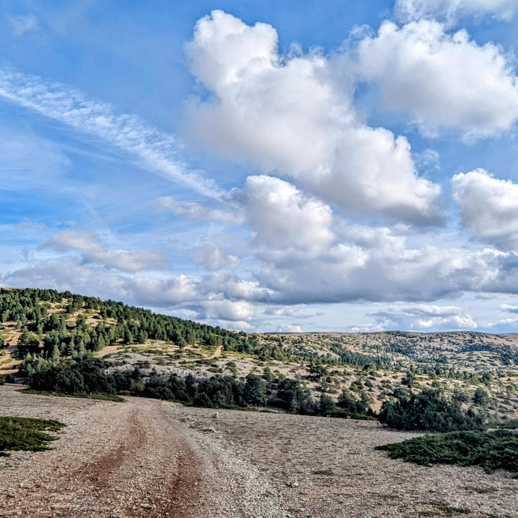
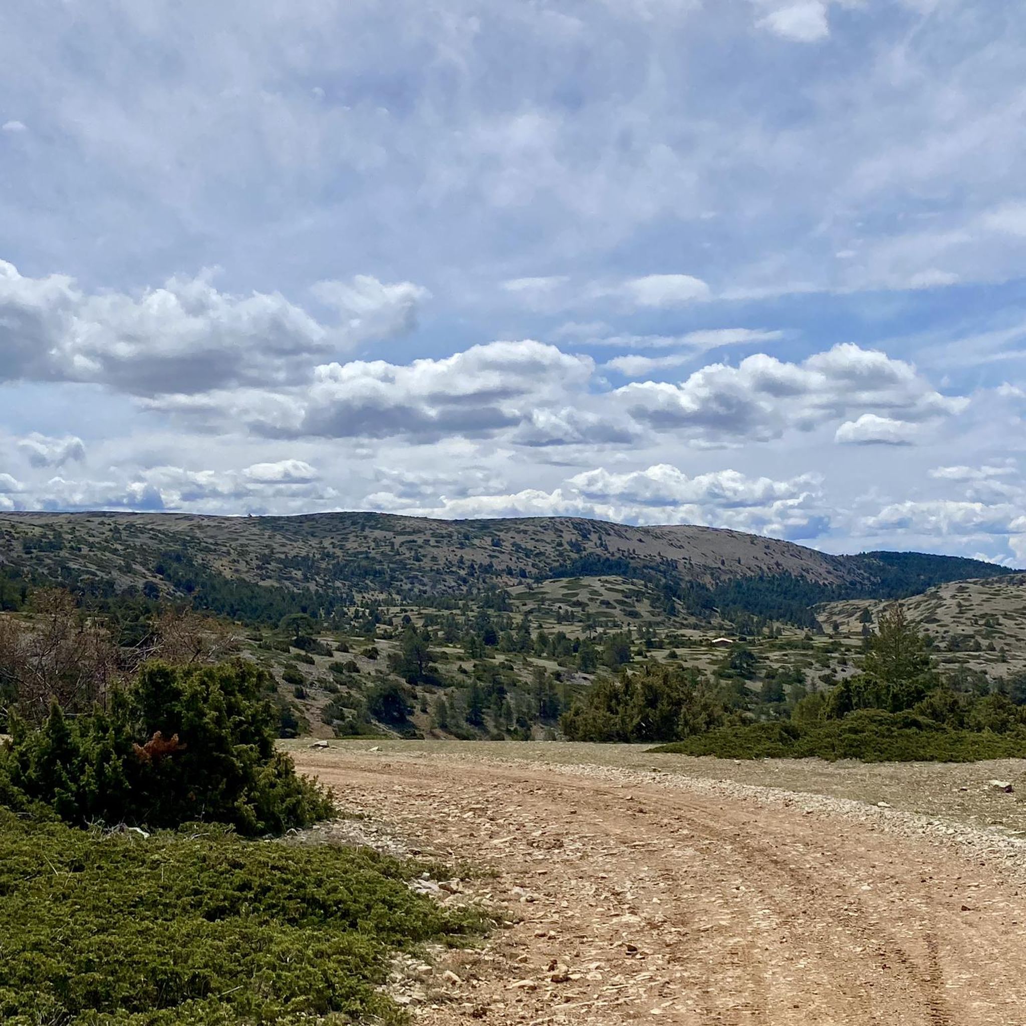
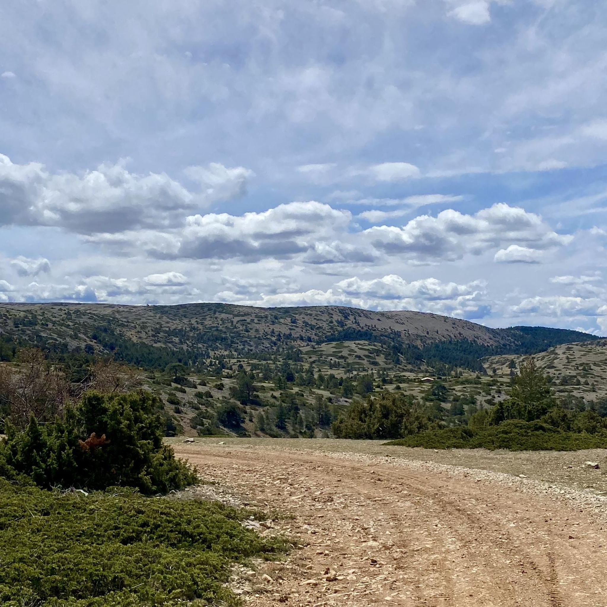
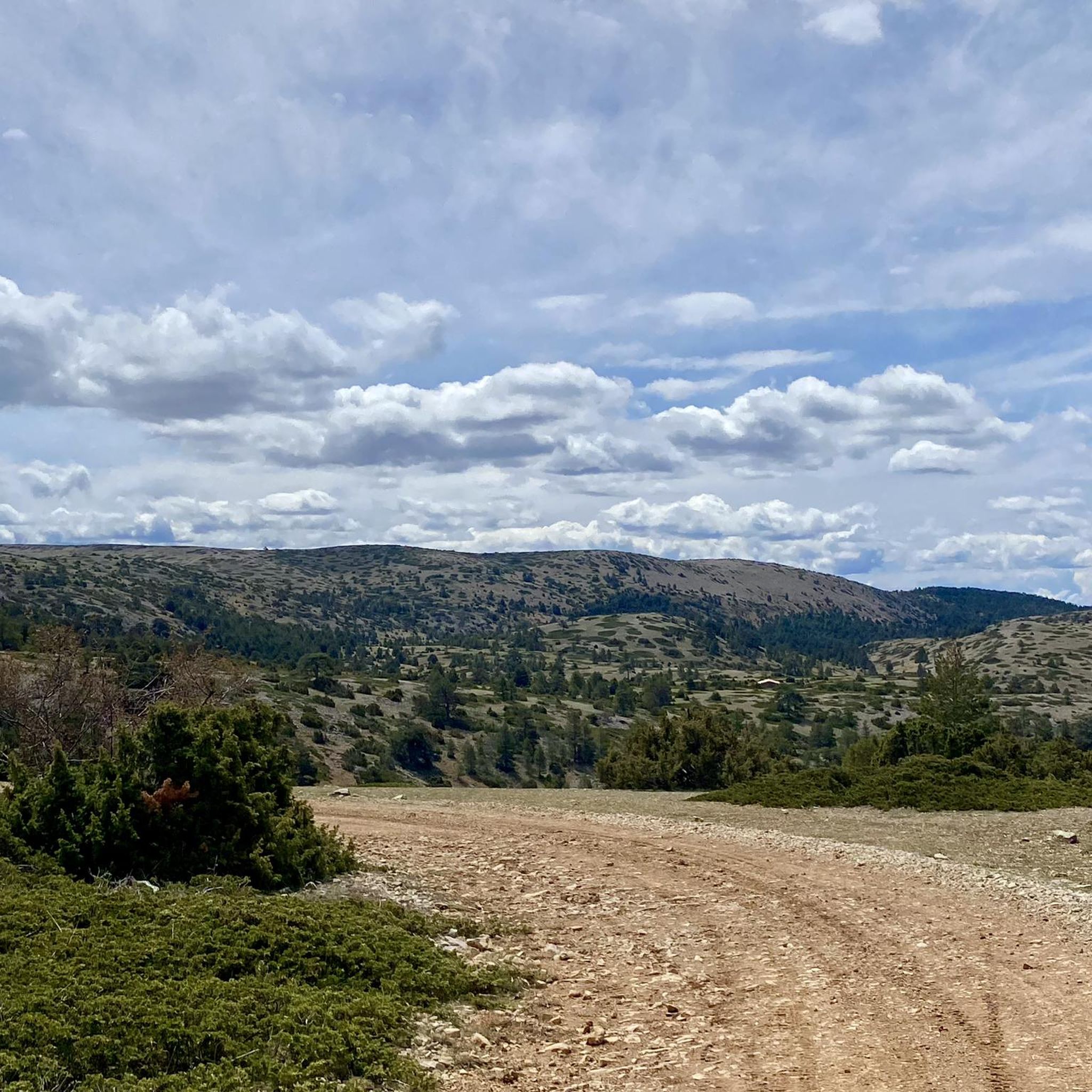
Other adventures around Puebla De San Miguel

Tips from the Community

The Rabadá and Navarro refuge is located in the heights of the Javalambre mountain range, very close to the ski resort. It has a capacity of 74 beds and offers blankets, heating, hot showers, food service and a bar.
1
0

The summit is 2019 meters high. The path is demanding, but it is worth the effort. The panoramic views of the surrounding mountains are like something out of a movie.
1
0


We are at Pico Javalambre at an altitude of 2,019 meters, considered a sacred mountain by many nature lovers and/or Turolenses. It is the highest peak of the mountain range that bears his name, it is considered by the majority of Teruel residents to be the roof of their province, although the true roof of Teruel is the top of Peñarroya. If we have the opportunity to climb here when there is no snow, we will be able to appreciate the so-called "leopard skin" caused by the vegetation on the entire surface of the massif, a work of art of nature!
1
0

The Javalambre Peak at 2,019 m is the highest in the mountain range that bears its name. It is considered by the majority of Teruel residents to be the roof of their province, although the true roof of Teruel is Peñarroya. At the top of Pico Javalambre, in addition to the enormous antenna that helps you orient yourself but destroys the landscape, there are other smaller antennas, apart from a track that reaches the same summit, some ski slopes next to it. All this spoils the beautiful surrounding landscape quite a bit.
1
0

A very privileged site with amazing views on all sides, chosen by many athletes to challenge the demanding climb. The peak of Picón del Buitre is located at 1956 meters above sea level and was chosen to build the Astronomical Observatory given its remote location, altitude and low light pollution.
2
0
For many a sacred mountain and undoubtedly a reference of the province of Teruel. The top of Javalambre at 2019 masl offers very nice views in all directions. A few km away is the Javalmabre ski station, a very popular place in the winter season and from where you can start the ascent to the summit. If you go up here when there is no snow, you will be able to appreciate the curious "leopard skin" caused by the vegetation over the entire large area of the massif, a work of art of nature!
2
0
The top of Picón del Buitre at 1956 meters above sea level was chosen as the ideal site to build the Astronomical Observatory. Its remote location, altitude, and low light pollution from cities is all that is needed to be able to observe the stars at night. During the day it is a very privileged place with amazing views on all sides, chosen by many hikers and cyclists to challenge the demanding climb.
2
0
Frequently Asked Questions
What is the general difficulty of running trails in Puebla de San Miguel?
The running trails around Puebla de San Miguel are generally quite challenging. While there are no routes classified as 'easy' in our guide, you'll find 7 moderate and 9 difficult options. Many routes involve significant elevation changes, exploring the mountainous terrain of the Puebla de San Miguel Natural Park.
Are there any circular running routes in the area?
Yes, several circular running routes are available. For instance, the Picón del Buitre - Astrophysical Observatory of Javalambre – circular trail run from Arcos de las Salinas is a popular option, offering a challenging 11.6-mile loop. Another great choice is the Javalambre – trail run circular from Javalambre Ski Resort, a difficult 4.1-mile path exploring the mountainous terrain.
What kind of scenery can I expect on the jogging routes around Puebla de San Miguel?
Jogging routes in Puebla de San Miguel offer incredibly diverse scenery. You'll experience elevated terrain with high peaks like Alto de las Barracas, providing stunning panoramic views. Many trails wind through extensive forests of Spanish juniper, Scots pine, and ancient yews, including the notable Sabinar de Las Blancas. You'll also encounter natural springs and ravines, adding to the natural beauty.
Can I find natural springs along the running trails to refill water?
Yes, the natural park is dotted with several natural springs. You might find fresh spring water along various trails at locations such as El Pozo, La Canaleja, Las Blancas, Serval, and Don Guillén. These springs offer convenient spots to hydrate during your run.
Are there any notable landmarks or attractions to see while running?
Absolutely! The region is rich in natural and cultural landmarks. You can run past the Javalambre Astrophysical Observatory (Pico del Buitre), or experience the heights of Alto de las Barracas or Cerro Calderón, the highest point in the Valencian Community. The Collado del Buey Shelter also offers a rustic stop at 1,720 meters altitude.
What do other runners enjoy most about jogging in Puebla de San Miguel?
Runners frequently praise the region's varied terrain and stunning natural beauty. The challenging ascents towards observatories and the exploration of mountainous landscapes are often highlighted. The unique experience of running through ancient juniper forests and past natural springs also receives positive feedback from the komoot community.
Are there opportunities to see wildlife on the running trails?
Yes, the Puebla de San Miguel Natural Park is a haven for wildlife. While running, you might have the chance to spot protected species such as the Spanish moon moth and Apollo butterfly. Birdwatchers can also look out for various birds of prey, including vultures, booted eagles, Dupont's lark, and golden eagles.
Are there any cultural or historical sites near the running routes?
Beyond its natural beauty, the region preserves its ethnographic and cultural heritage. The charming Puebla de San Miguel village itself is an ideal starting point, offering popular architecture and attractions like traditional washhouses. You can also explore sites such as the San Miguel church, San Roque chapel, and the Museo de Etnología.
What is the longest running route available in this guide?
The longest running route featured in this guide is the Javalambre loop from Parking Estación Javalambre. This difficult trail covers approximately 22.6 miles (36.4 km) and involves significant elevation gain, making it a demanding option for experienced runners.
Are there any running routes suitable for families or beginners?
The running routes in this guide for Puebla de San Miguel are generally quite challenging, with options ranging from moderate to difficult. There are no routes specifically classified as 'easy' in this selection, so beginners or families with young children might find many of them demanding due to the mountainous terrain and elevation changes.
Can I find viewpoints with panoramic views along the running trails?
Absolutely. The elevated terrain and high peaks within the Puebla de San Miguel Natural Park provide numerous opportunities for stunning panoramic views. Routes that ascend towards points like Alto de las Barracas or the Javalambre Astrophysical Observatory offer incredible vistas of the surrounding landscapes, perfect for invigorating jogs with scenic backdrops.
What is the shortest running route in the guide?
The shortest running route in this guide is the Javalambre – trail run circular from Javalambre Ski Resort. This difficult path is approximately 4.1 miles (6.6 km) long, exploring the mountainous terrain around the ski resort.
Most popular routes around Puebla De San Miguel
Most popular attractions around Puebla De San Miguel

Get inspired with the komoot mobile app


Explore more
Browse the best Running Trails & Routes in other regions.
