The best road cycling routes around Vilanova De Meià
5.0
(5)
505
riders
21
rides
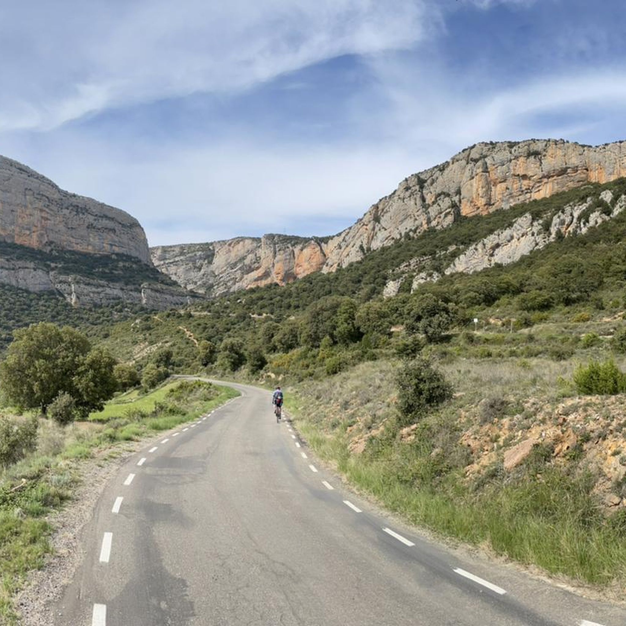
Road cycling routes around Vilanova de Meià are situated within the Montsec range in the Lleida Pre-Pyrenees, offering varied terrain for cyclists. The region features winding roads, steep ridges, and quiet valleys, characterized by minimal traffic. Cyclists encounter varied gradients and narrow gorges, with well-surfaced routes ideal for endurance rides. The landscape includes dramatic limestone cliffs and imposing mountain views.
Best road cycling routes around Vilanova De Meià
- The most popular road cycling route is View of Pantà de Terradets…
Last updated: July 25, 2026
5.0
(3)
278
riders
85.3km
04:31
1,570m
1,570m
Hard road ride. Very good fitness required. Some segments of this route may be unpaved and difficult to ride.
29
riders
131km
07:10
2,420m
2,420m
Hard road ride. Very good fitness required. Some segments of this route may be unpaved and difficult to ride.

Sign up for free
32
riders
57.9km
03:26
1,250m
1,250m
Hard road ride. Very good fitness required. Some segments of this route may be unpaved and difficult to ride.
12
riders
50.3km
03:07
1,220m
1,220m
Hard road ride. Very good fitness required. Some segments of this route may be unpaved and difficult to ride.
8
riders
82.1km
04:09
1,160m
1,160m
Hard road ride. Very good fitness required. Some segments of this route may be unpaved and difficult to ride.
Get access to more routes and recommendations from other explorers.
Sign up for free
Already have an account?
Our route recommendations are based on thousands of hikes, rides, and runs completed by other people on komoot.
Start today with a free account
Your next adventure awaits.
Login or Signup

Tips from the Community

Easy hiking trail along the road. You walk directly past the cliffs and the lake. Very impressive
0
0

Fresh drinking water - perfect location to fill your bottles
0
0

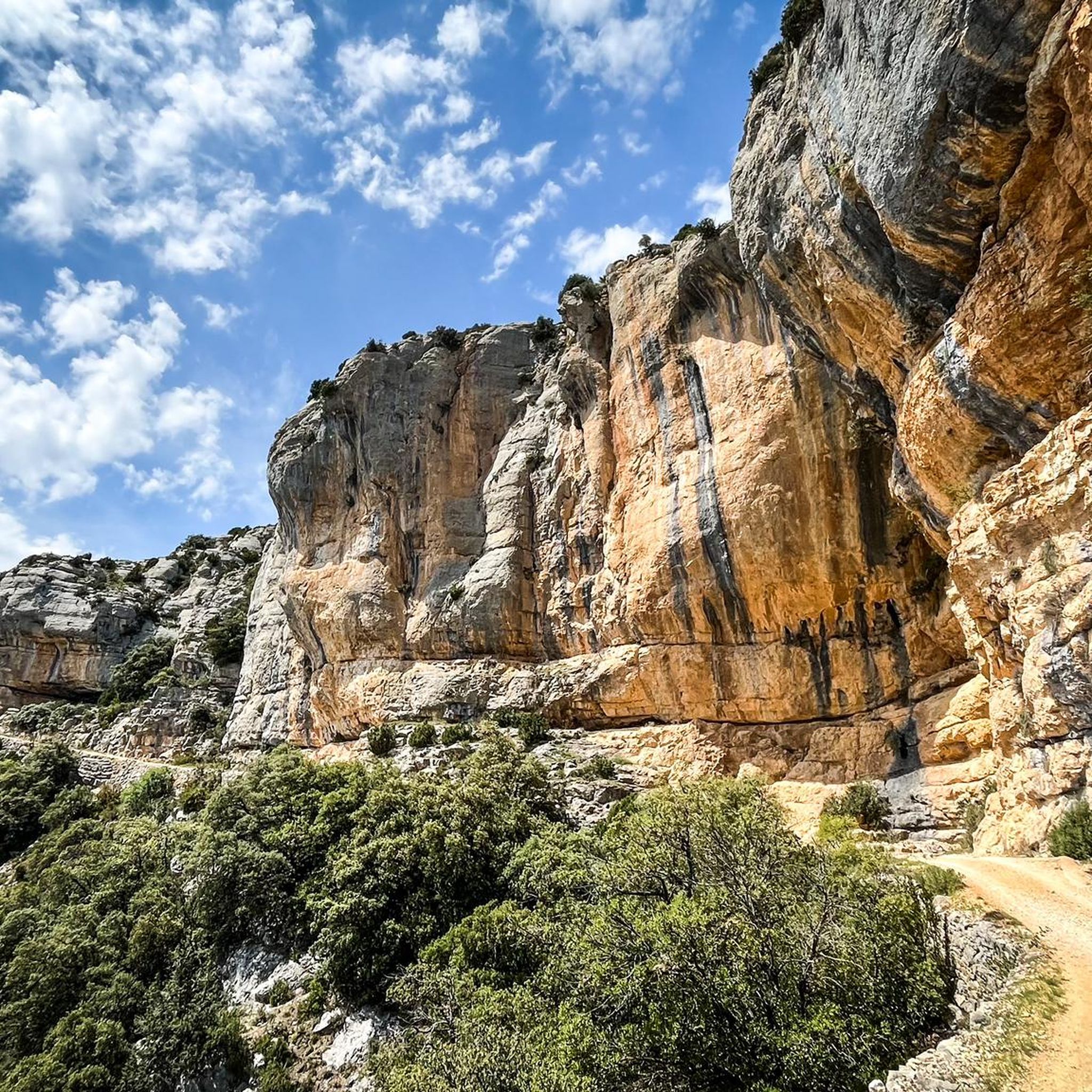
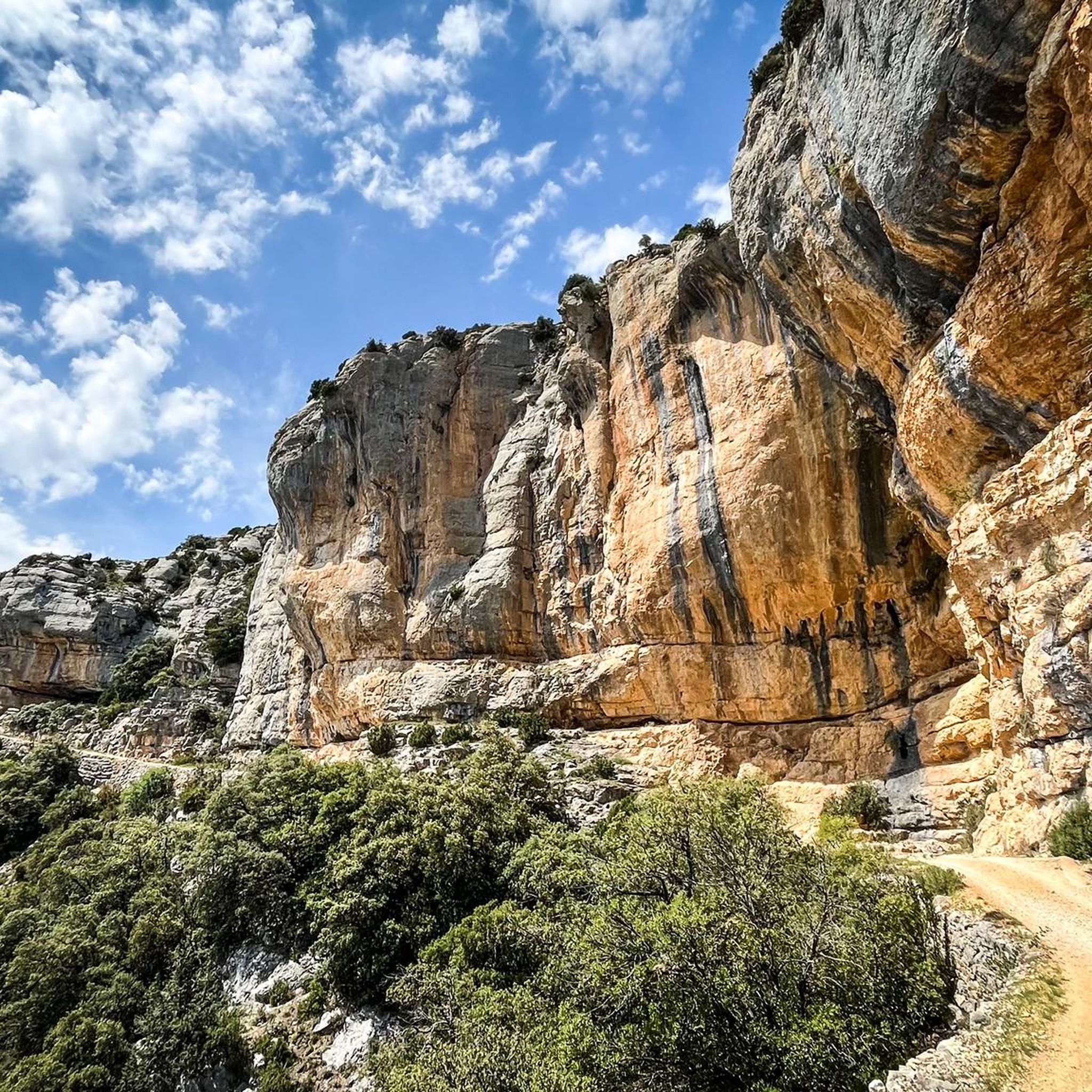
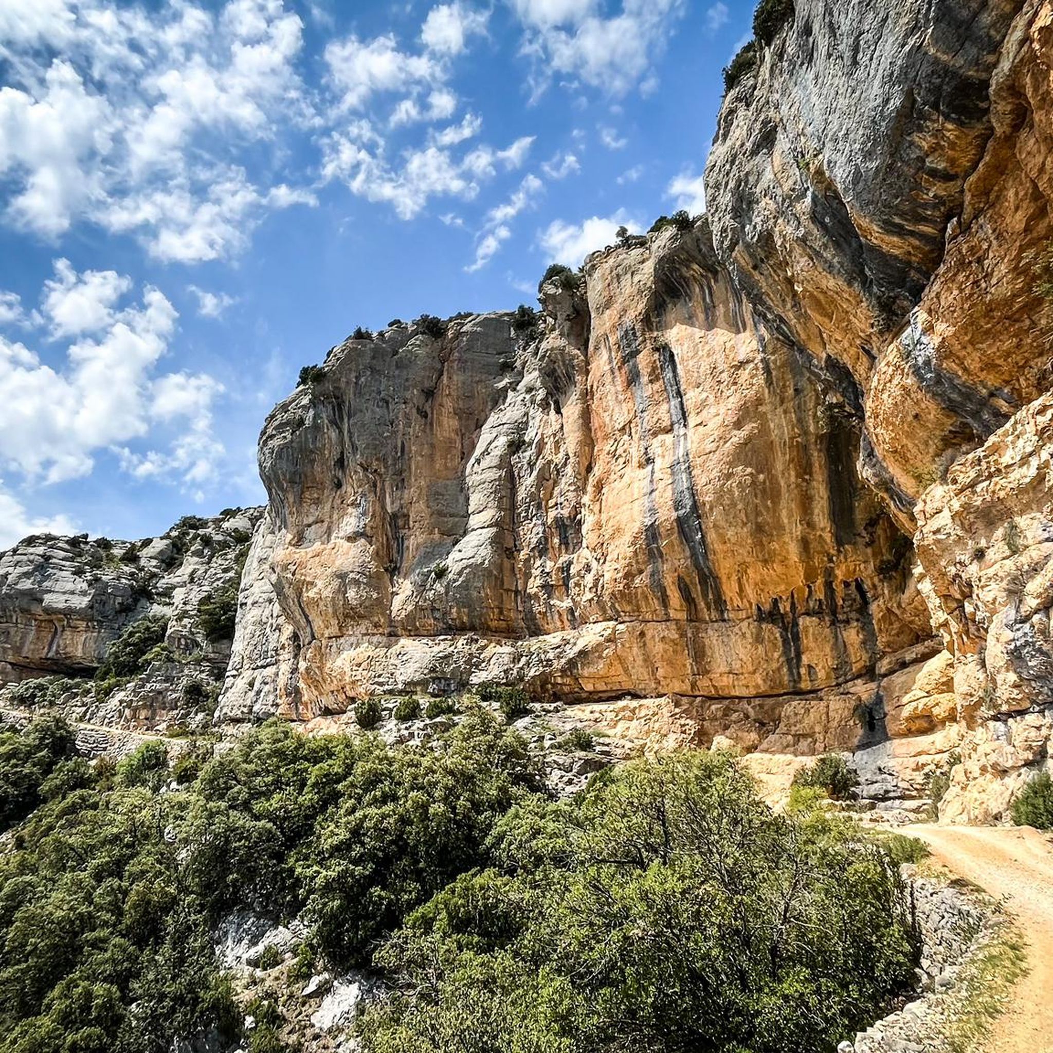
This is an area with a beautiful natural landscape, ideal for relaxing and enjoying nature. It's also an idyllic spot for a multitude of leisure activities. Its cliffs make it an attractive spot for climbing enthusiasts. Along the road that runs alongside it, you'll find several picture-postcard views.
0
0

at the beginning of the Calaf road c1412 there is this curious pencil, at the entrance to a pond. he has very kindly stamped the route card for us for the La Fuliola brevet.
0
0

From the main road you cannot appreciate the rustic beauty of this town on the plain of Lleida. It is worth entering the town and walking through the streets of the historic center.
0
0
Next to the Coll d'Ares, it is the most iconic port in the Montsec mountain range and the Lleida Pre-Pyrenees. The views from above, either towards the Pyrenees and the Isona and Tremp valley, as well as the Plana de Lleida, are magnificent. It is a port with 4 aspects, each one different: - The southern slope, which begins in Artesa de Segre, is almost 24 km long and runs along a road with a lot of traffic, very wide and with long straights. After passing the town of Folquer, you face the hardest section of the climb, now with continuous curves and horseshoes, although with a road that is still very wide. The best are the views of the Lleida plain. It is not a side that I like since it is very stinky. - The southeast slope, the one that begins in Pons, is longer than the previous one, with 29 km. It has 2 rest sections, with some descent, and the road is narrow and twisty. There are good views along the climb. This slope joins the southern slope that comes from Artesa de Segre at the height of Folquer, where the hardest 7 km remain until reaching the top of the pass. - The main northern slope begins in Tremp and is 28.2 km. It is similar to the Artesa de Segre slope, with a similar gradient and a wide, busy road with a progressive slope, although it is true that there are no kilometers that reach 7%. I don't like. - The northwest slope, which also begins in Tremp, takes the old road that goes up through the town of Sant Salvador de Toló. It is a climb without traffic, on an irregular asphalt road, one of the old ones, which is grippy and difficult to roll, but in good condition. If you plan to go up to Comiols on the northern slope, you have to do it here and forget about the slope that runs along the main road.
0
0
It is a port in the Montsec mountain range that allows access to the beautiful valley where the town of Àger is located, with imposing vertical mountains that give a lot of charm and spectacularity to the valley, especially in spring where the green of the trees, the red of poppies and the warm yellow of wheat. The port is very stinky on both sides since the road is very wide, normally with 3 lanes, and with long straights, which take away any type of cycling attraction. However, the views from the port, especially towards the Àger valley, are spectacular. I climbed it on the southern slope, the one that begins in Balaguer. From Balaguer it is almost 25 km, with continuous ups, downs and flat areas. The final uphill section is 5.5 km at 6 - 7%, with a rest section when crossing the town of Sant Josep de Fontdepou
0
0
Frequently Asked Questions
How many road cycling routes are available around Vilanova de Meià?
There are over 19 road cycling routes around Vilanova de Meià, offering a diverse range of experiences for cyclists. These routes are situated within the spectacular Montsec range in the Lleida Pre-Pyrenees.
What kind of terrain can I expect on road cycling routes in Vilanova de Meià?
The region offers varied and demanding terrain, characterized by winding roads, steep ridges, and peaceful valleys. You'll encounter varied gradients, narrow gorges, and well-surfaced routes ideal for endurance rides. The dramatic limestone cliffs and imposing mountain views of the Montsec range are a constant feature.
Are there challenging routes for experienced road cyclists?
Yes, Vilanova de Meià is known for its challenging routes. Out of the available routes, 11 are classified as difficult. For instance, the View of Pantà de Terradets – Coll de Comiols loop from l'Hostal Roig is a demanding 79.5-mile (127.9 km) trail featuring the notable Coll de Comiols pass, a significant climb in the region. Another challenging option is the Coll de Montllobar (1080 m) – Coll d'Ares loop from Àger, a 61.4-mile (98.8 km) path traversing multiple mountain passes.
Are there any moderate or beginner-friendly road cycling routes?
While the region is known for its challenging climbs, there are also 8 moderate routes available. A good example is the Plaza Mayor Artesa de Segre – Montgai loop from Vall-llebrera, a 31.4-mile (50.5 km) trail that leads through surrounding valleys and is often completed in about 2 hours 19 minutes. These routes offer a less strenuous experience while still providing scenic views.
What are some notable landmarks or viewpoints I can see along the road cycling routes?
Many routes offer magnificent vistas of the Montsec range and its features. You can pass by the beautiful Lake-Reservoir of Terradets, as seen on the View of Pantà de Terradets – Coll de Comiols loop. The region also features significant mountain passes like Coll de Comiols, which offers expansive views. Other points of interest include the Cova del Tabac and the dramatic Roca Regina and Barranc del Bosc gorge.
Are there any circular road cycling routes around Vilanova de Meià?
Yes, many of the routes are designed as loops, allowing you to start and end in the same location. Examples include the challenging View of Pantà de Terradets – Coll de Comiols loop from l'Hostal Roig and the moderate Plaza Mayor Artesa de Segre – Alòs de Balaguer Spring loop from Vilanova de Meià.
What is the best time of year for road cycling in Vilanova de Meià?
The Lleida Pre-Pyrenees region generally offers good cycling conditions for much of the year. Spring and autumn are often ideal, with milder temperatures and vibrant landscapes. Summer can be warm, especially in the valleys, but higher elevations offer cooler air. Winters can be cold, particularly at higher passes like Coll de Comiols, which may experience snow.
Is Vilanova de Meià a good destination for long-distance road cycling?
Absolutely. The region is well-suited for endurance rides and training, with routes like the View of Pantà de Terradets – Coll de Comiols loop covering nearly 80 miles (128 km) with significant elevation gain. The area's quiet roads and varied gradients make it an excellent choice for cyclists looking to cover substantial distances.
What do other road cyclists enjoy most about road cycling in Vilanova de Meià?
The area is highly rated by the komoot community, with an average score of 5.0 stars from over 5 reviews. Cyclists frequently praise the region's minimal traffic, well-surfaced roads, and the breathtaking scenery of the Montsec range, including its challenging climbs and dramatic gorges.
Are the road cycling routes in Vilanova de Meià generally quiet?
Yes, the region is well-known for its quiet roads. This allows cyclists to immerse themselves in the natural surroundings without heavy traffic, providing a tranquil and enjoyable cycling experience through the Montsec mountains and valleys.
Are there any routes that pass by the Rialb Reservoir?
Yes, the Viewpoint of Rialb Reservoir – Alòs de Balaguer Spring loop from Vall-llebrera is a difficult 81.8-mile (131.6 km) route that offers views of the Rialb Reservoir, providing another scenic highlight for your ride.
Most popular routes around Vilanova De Meià
Most popular attractions around Vilanova De Meià

Get inspired with the komoot mobile app


Explore more
Browse the best Road cycling routes in other regions.
