The best running trails around Valverde
5.0
(3)
448
runners
22
runs
Jogging around Valverde offers routes through varied terrain, characteristic of an island landscape. The region features coastal paths, volcanic formations, and elevated areas that provide diverse running experiences. Runners can explore trails that traverse both the shoreline and the island's interior, encountering a mix of natural features.
Best jogging routes around Valverde
- The most popular jogging route is La Restinga - Pozo de la Salud Trail, a 3.7 miles (6.0 km) trail that takes about 48 minutes to complete,…
Last updated: May 27, 2026
6.01km
00:48
230m
230m
Jog this moderate 3.7-mile trail from La Restinga to Pozo de la Salud, gaining 769 feet through volcanic landscapes and ocean views.
5.0
(1)
35
runners
10.9km
01:23
210m
220m
Hard run. Good fitness required. Sure-footedness, sturdy shoes and alpine experience required.

Sign up for free
32
runners
30.5km
03:44
960m
960m
Hard run. Very good fitness required. Mostly accessible paths. Some sure footedness required.
14
runners
10.8km
01:13
230m
230m
Moderate run. Good fitness required. Mostly paved surfaces. Suitable for all skill levels.
13
runners
5.00km
00:32
30m
30m
Easy run. Great for any fitness level. Mostly paved surfaces. Suitable for all skill levels.
Get access to more routes and recommendations from other explorers.
Sign up for free
Already have an account?
Our route recommendations are based on thousands of hikes, rides, and runs completed by other people on komoot.
Start today with a free account
Your next adventure awaits.
Login or Signup
Popular around Valverde

La Palma, El Hierro y La Gomera – explore the Canaries’ Green Islands on foot
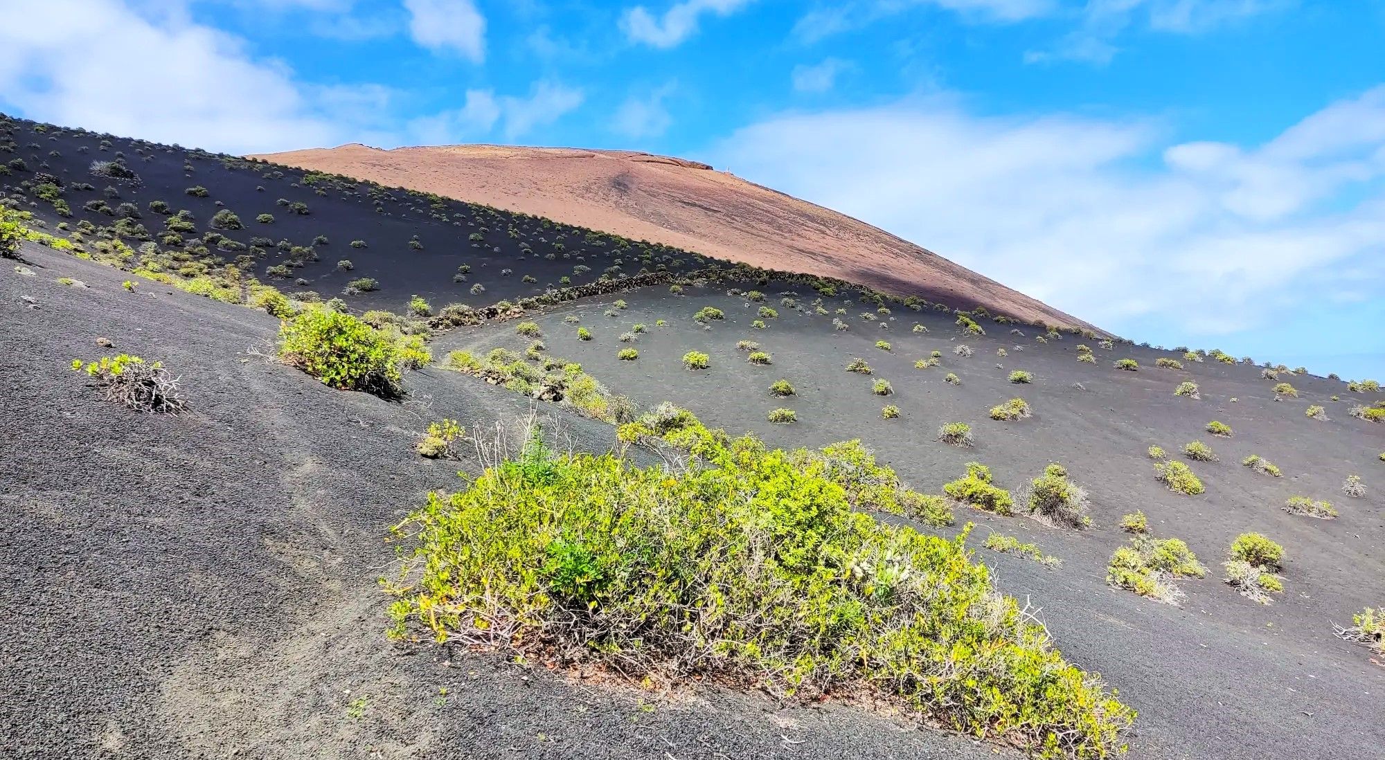
Canarian essence and traditional paths – El Hierro Loop
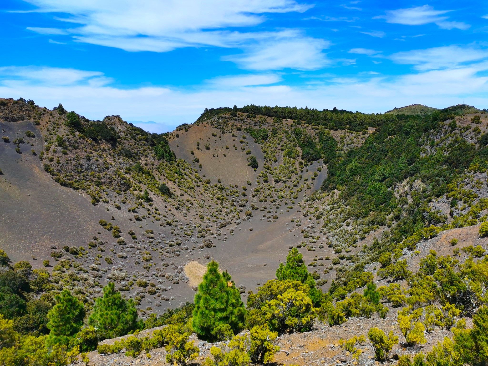
Land of secrets and volcanoes – El Hierro (GR 131)
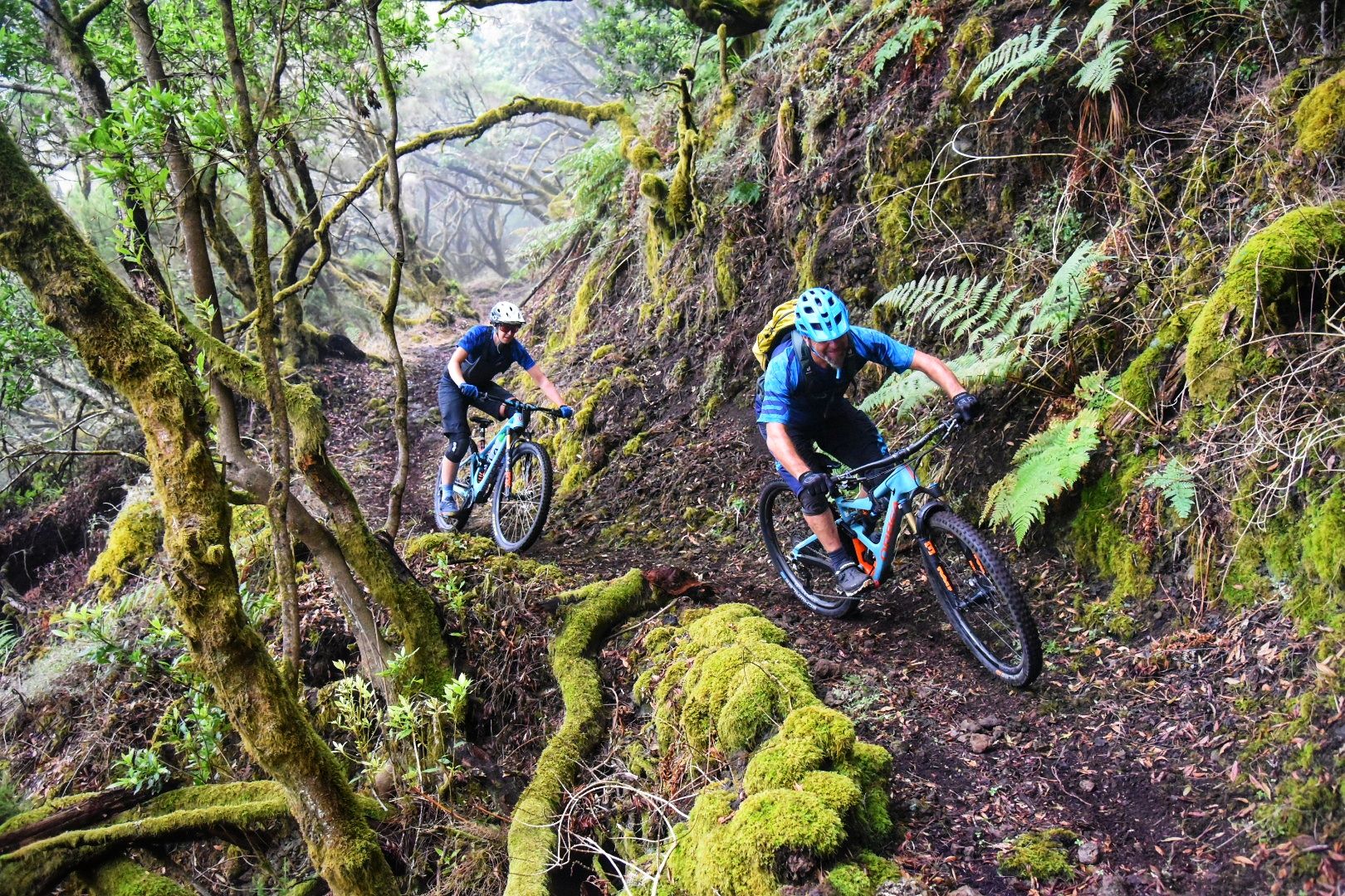
El Hierro: Cycling at the End of the World
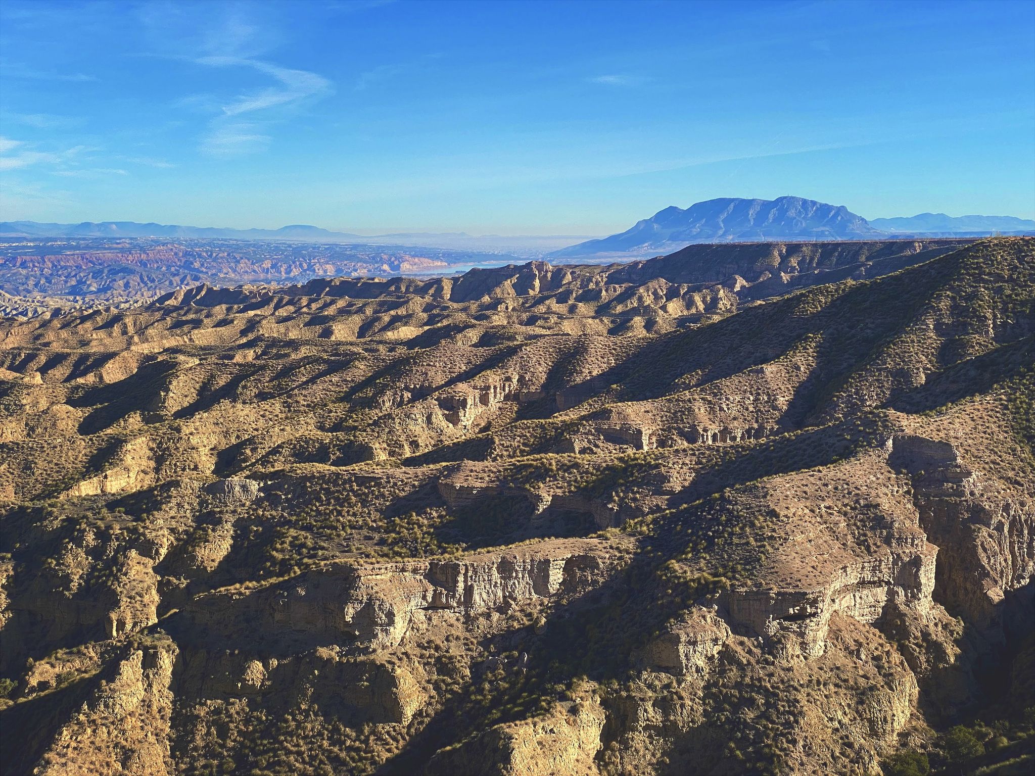
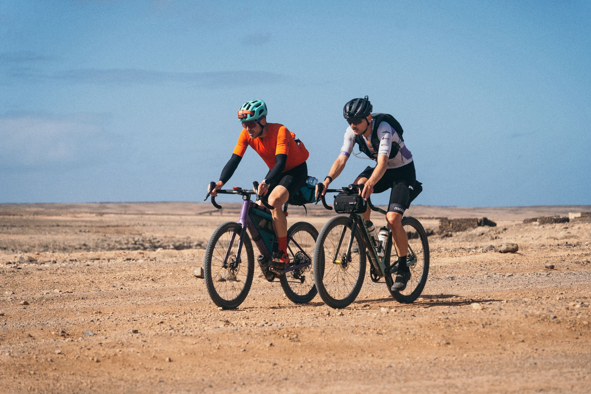
Discover Spain by gravel — a selection of must-see routes
GranGuanche Audax Gravel — five islands in two and a half days
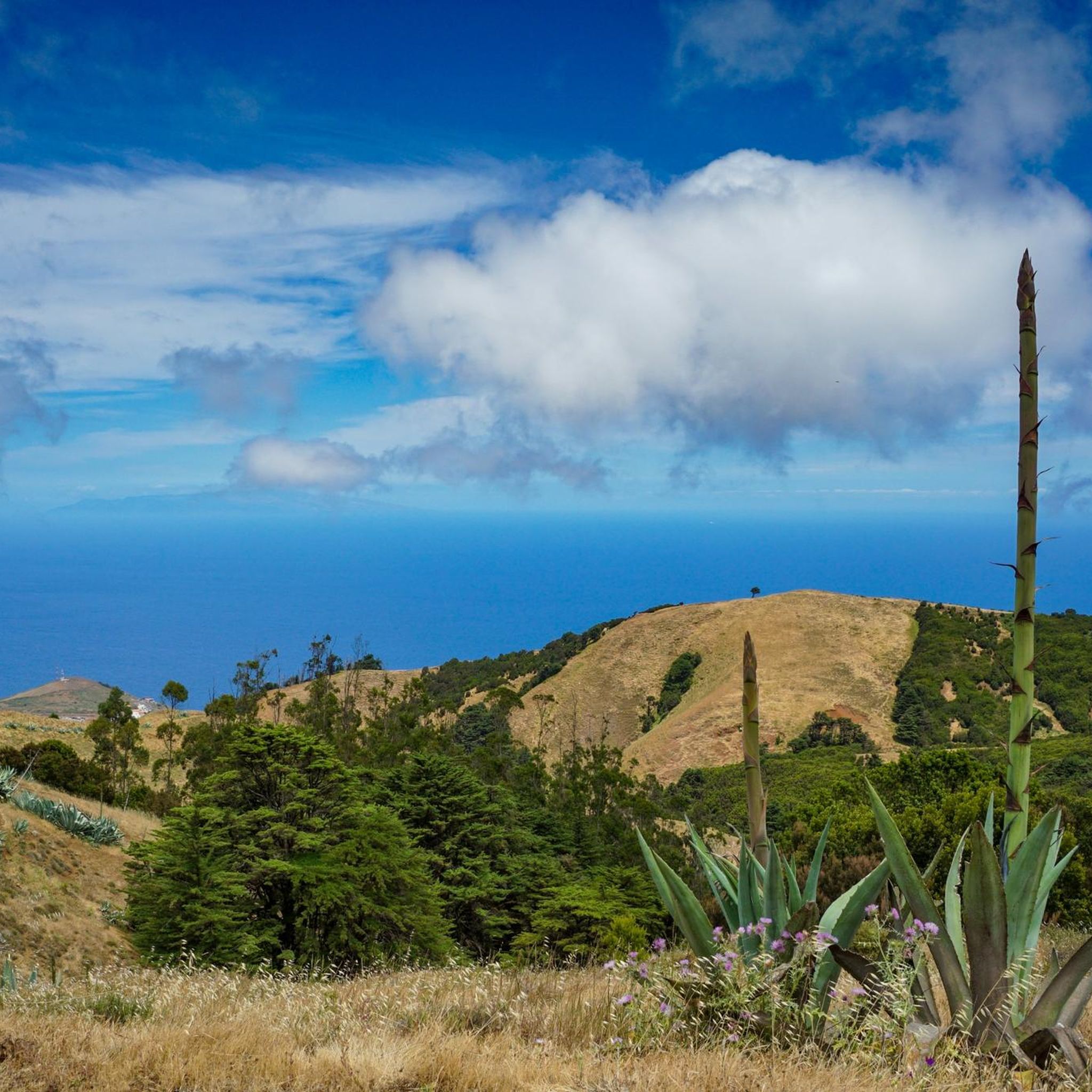
Hiking around Valverde
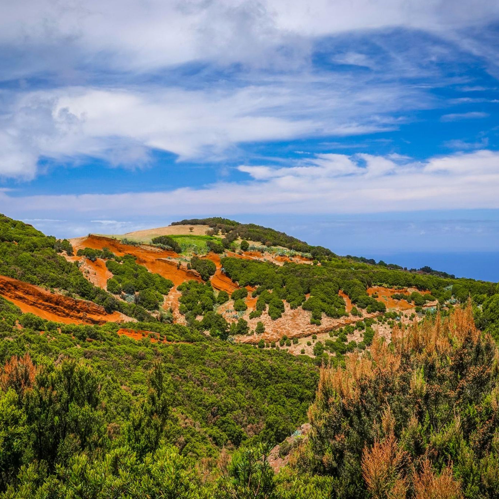
Cycling around Valverde
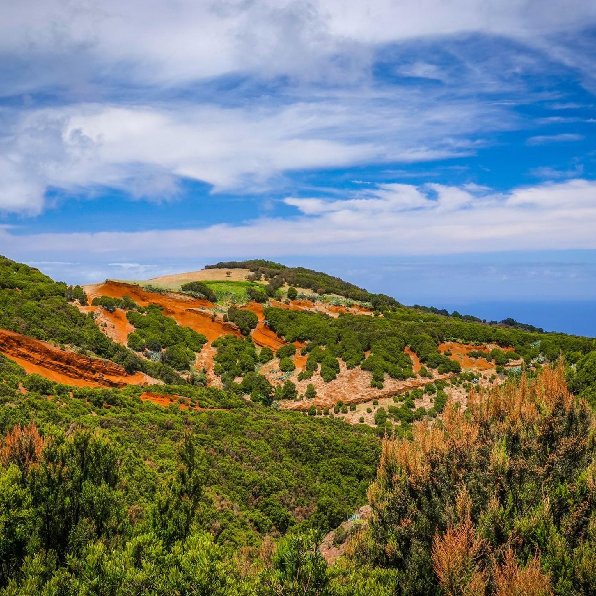
Road Cycling Routes around Valverde
MTB Trails around Valverde
Other adventures around Valverde


Tips from the Community

"Rainforest" is more commonly found in other regions. Here it is "cloud forest," due to the condensing trade wind clouds.
0
0
Very nice view into a very Canary Islands-typical volcanic crater
0
0

Attention, the path is closed due to falling rocks!
0
0

https://www.youtube.com/watch?v=oH16YSQuUg8 El Hierro Airport (IATA: VDE, ICAO: GCHI) was inaugurated in December 1972. It is located in the municipality of Valverde, on the island of El Hierro (Canary Islands). It is called Los Cangrejos Airport and, even with the limited opening hours from 6:00 a.m. to 7:00 p.m.,2 in 2007 it was the airport with the greatest growth in the Canary Islands, with an increase of 7.8%,3 which It represents some 13,318 more passengers than in 2006. Air traffic is national, with the origin/destination of all scheduled flights being the airports of Tenerife North-Ciudad de La Laguna and Gran Canaria. In 2011, the airport recorded traffic of 170,225 passengers, 4,674 operations and 135 tons of merchandise. https://www.youtube.com/watch?v=2mKtaVlUjG8
2
0
The port of La Estaca is located in the north of the island of El Hierro, near Valverde. Although it is a port dedicated to commercial and sports passenger and freight traffic, it has a 250-meter docking line with 120 berths available. These berths are prepared for sports boats up to 30 meters in length and 6.5 meters in draft. Among its services are a mobile ramp, 40-ton travellift, crane and slipway. https://www.youtube.com/watch?v=6S2WQX450Uc
1
0

In this place, you will find a charming fountain fed by a crystalline spring, surrounded by leafy trees. In addition, there is an informative sign that details more about this beautiful natural corner.
0
0
Fun descent on a red sand runway in good condition that will take you to the airport runway viewpoint, with luck and patience you will be able to see landings and takeoffs from very close up. If you prefer it in the middle of the trial you have a detour to go to La Caleta.
1
0
https://www.youtube.com/watch?v=xMrlVQ8QoZU One of the outstanding places in Spain to practice paragliding is the summit of Dos Hermanas, in the northwest of El Hierro. Flying on the southernmost island of the Canary archipelago is wonderful because it offers great conditions for it. The trade winds, the orientation of the terrain and the possibility of taking off at different heights make learning and acrobatics possible. In fact, the island has been holding a famous international paragliding rally for 20 years that attracts pilots from all over. Paragliding over the El Golfo Valley The best-known flight of El Hierro, that of the El Golfo Valley, has different heights at the summit of Dos Hermanas (Frontera). Both in the takeoff of 1,200 meters and in those of 1,000, 800 and 600 meters, there are thermoslope conditions that allow you to fly for hours and thus contemplate a spectacular landscape that begins at the Arenas Blancas beach and ends at the Salmor rocks. . The landing point is in Frontera, next to the bus station.
2
0
Frequently Asked Questions
How many running routes are available in Valverde?
Komoot features 13 diverse running routes around Valverde. These routes offer a mix of coastal paths, volcanic landscapes, and hilly terrain, catering to various preferences and fitness levels.
Are there easy running routes for beginners in Valverde?
While many routes in Valverde are rated moderate to difficult due to the island's varied terrain and elevation changes, there are options suitable for those looking for a less strenuous run. For example, the La Restinga - Pozo de la Salud Trail is a moderate 3.7-mile (6.0 km) route offering coastal views.
Can I find circular running routes in Valverde?
Yes, Valverde offers several circular running routes. For instance, the La Llanía Trail – Dos Hermanas Viewpoint loop from Fuente de la Llanía is a challenging 6.8-mile (10.9 km) loop through the island's interior. Another option is the Montaña Tenesedra loop from Valverde, a moderate 9.6 km route.
What kind of scenery can I expect on Valverde's running trails?
Running in Valverde offers incredibly diverse scenery, characteristic of an island landscape. You'll find coastal paths with ocean views, trails winding through volcanic formations, and elevated areas providing panoramic vistas of the island's interior. The routes showcase a mix of natural features, from rugged coastlines to lush, hilly terrain.
What are some notable landmarks or viewpoints I can see while running in Valverde?
Many running routes in Valverde pass by or offer views of significant landmarks. You might encounter the island's highest point, Malpaso Peak, or enjoy stunning vistas from viewpoints like Jinama Viewpoint and La Peña Viewpoint. Some trails also lead near cultural sites such as the Guinea Ecomuseum and Lizardarium.
What is the typical length and duration of running routes in Valverde?
The running routes in Valverde vary significantly in length and duration. You can find shorter runs like the La Restinga - Pozo de la Salud Trail, which is 3.7 miles (6.0 km) and takes about 48 minutes. Longer, more challenging routes, such as the Malpaso Peak – La Llanía Trail loop from Fuente de la Llanía, can be up to 18.9 miles (30.5 km) and take around 3 hours 44 minutes to complete.
What do other runners say about the trails in Valverde?
The running routes in Valverde are highly regarded by the komoot community, holding an average rating of 4.3 stars from 3 reviews. Over 300 runners have used komoot to explore the varied terrain, often praising the unique coastal and volcanic landscapes and the challenging yet rewarding elevation changes.
Is parking available near the running trails in Valverde?
While specific parking details vary by route, many trailheads in Valverde, especially those starting from towns or popular natural areas, typically offer parking facilities. For routes like the La Llanía Trail – Dos Hermanas Viewpoint loop from Fuente de la Llanía, starting points like Fuente de la Llanía are generally accessible by car.
What is the best time of year to go running in Valverde?
Given Valverde's island climate, running is generally enjoyable year-round. However, the best time often depends on personal preference. Cooler months might be ideal for longer, more strenuous runs, while warmer periods are perfect for coastal jogs. Always check local weather conditions before heading out.
How challenging are the running routes in Valverde generally?
The running routes in Valverde offer a range of difficulties. While there are some moderate options, the majority of the routes (10 out of 13) are rated as difficult. This is due to the significant elevation changes and varied terrain, including volcanic landscapes and hilly sections, making them suitable for runners seeking a challenge.
Are there any less-known, scenic running routes in Valverde?
Beyond the most popular trails, Valverde offers many scenic routes that provide a sense of discovery. Exploring the diverse network of paths, from hidden coastal stretches to less-frequented interior trails, can reveal unique views and a quieter running experience. Komoot's detailed maps can help you uncover these less-traveled gems.
Can I reach the running trails in Valverde using public transport?
Accessibility by public transport can vary across the island. While major towns like Valverde itself are served by local buses, reaching more remote trailheads might require a car or taxi. It's advisable to check local public transport schedules and routes in advance if you plan to rely on it for trail access.
Most popular attractions around Valverde

Get inspired with the komoot mobile app


Explore more
Browse the best Running Trails & Routes in other regions.
