The best mountain hikes around Santa Cruz De Ténérife
4.5
(13)
89
hikers
11
hikes
Mountaineering routes around Santa Cruz De Ténérife traverse diverse landscapes, from the ancient laurel forests and deep gorges of Anaga Rural Park to the dramatic volcanic terrain of Teide National Park. The region is characterized by rugged mountains, steep ascents, and coastal paths offering varied challenges. These routes often feature significant elevation changes, leading through unique ecosystems and past striking geological formations.
Best mountaineering routes around Santa Cruz De Ténérife
- The most popular mountaineering route is Taganana Village – View…
Last updated: May 20, 2026
11
hikers
16.6km
06:30
1,070m
1,070m
Hard mountaineering route. Very good fitness required. Mostly accessible paths. Sure-footedness required.
5.0
(3)
11
hikers
7.42km
02:52
350m
340m
Hard mountaineering route. Good fitness required. Sure-footedness, sturdy shoes and alpine experience required.

Sign up for free
4.3
(3)
15
hikers
Moderate mountaineering route. Good fitness required. Easily-accessible paths. Suitable for all skill levels.
4.3
(3)
15
hikers
7.59km
03:15
670m
670m
Moderate mountaineering route. Good fitness required. Easily-accessible paths. Suitable for all skill levels.
3.0
(1)
8
hikers
7.90km
03:51
620m
610m
Moderate mountaineering route. Good fitness required. Mostly accessible paths. Sure-footedness required.
Get access to more routes and recommendations from other explorers.
Sign up for free
Already have an account?
Our route recommendations are based on thousands of hikes, rides, and runs completed by other people on komoot.
Start today with a free account
Your next adventure awaits.
Login or Signup
Popular around Santa Cruz De Ténérife
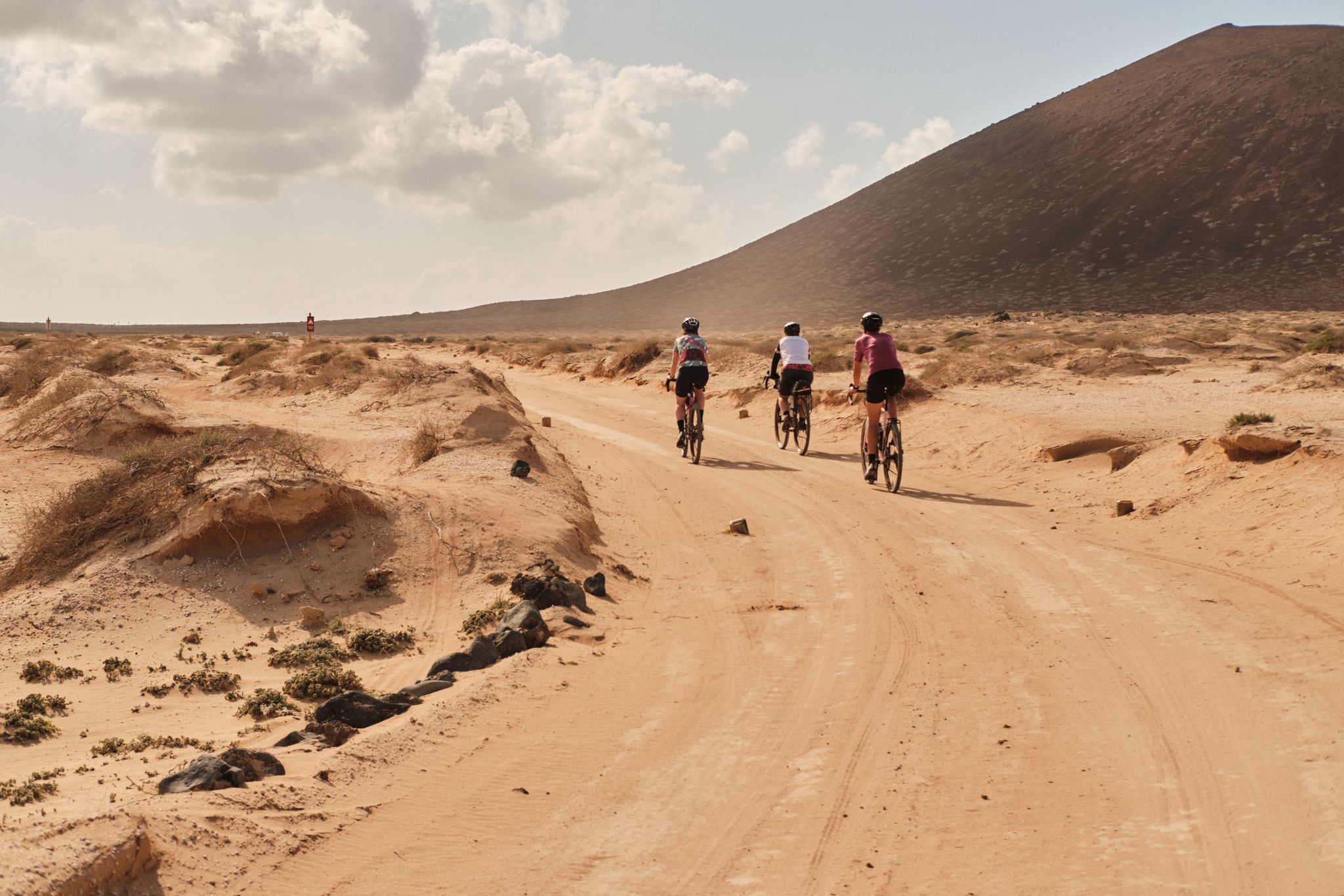
GranGuanche gravel – Komoot women's rally 2023
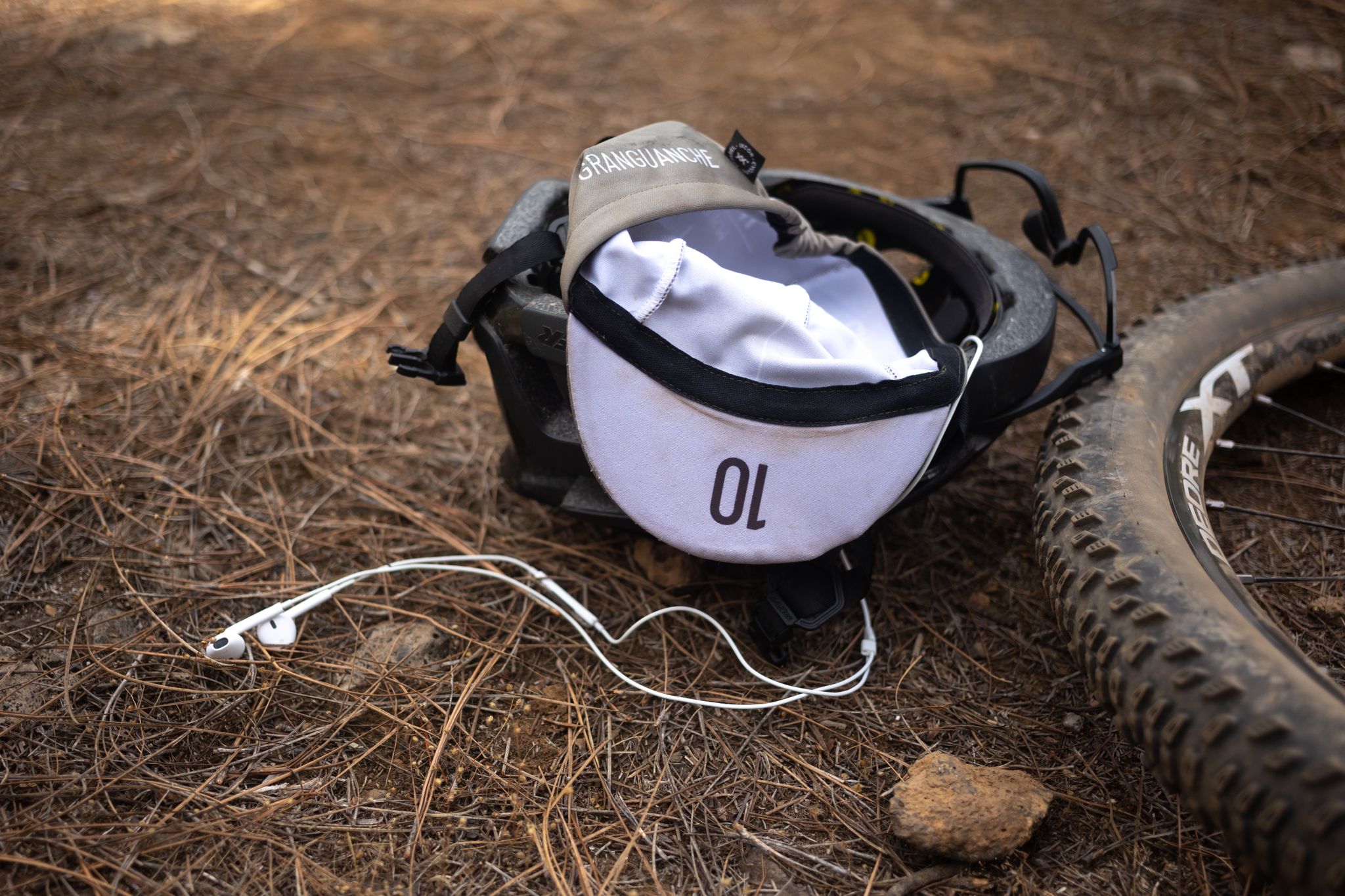
GranGuanche Audax Trail – my first ultra race on the Canary Islands
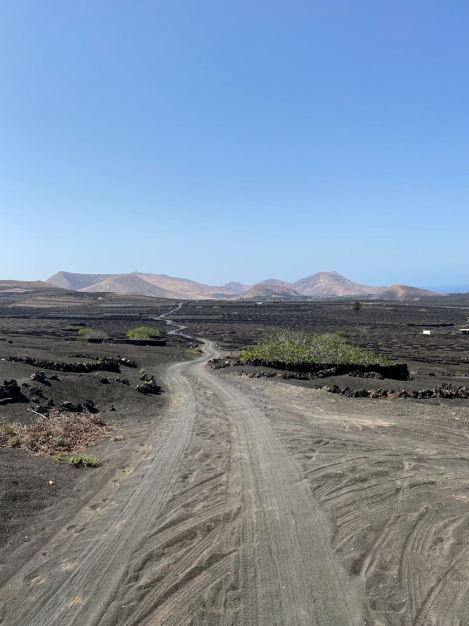
Bikepack in the Canary Islands – surprising adventures in the sun
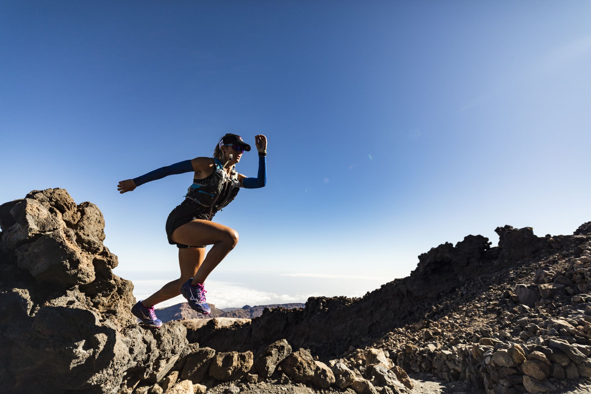
Trail running in Tenerife – dreamy routes between sea and mountain
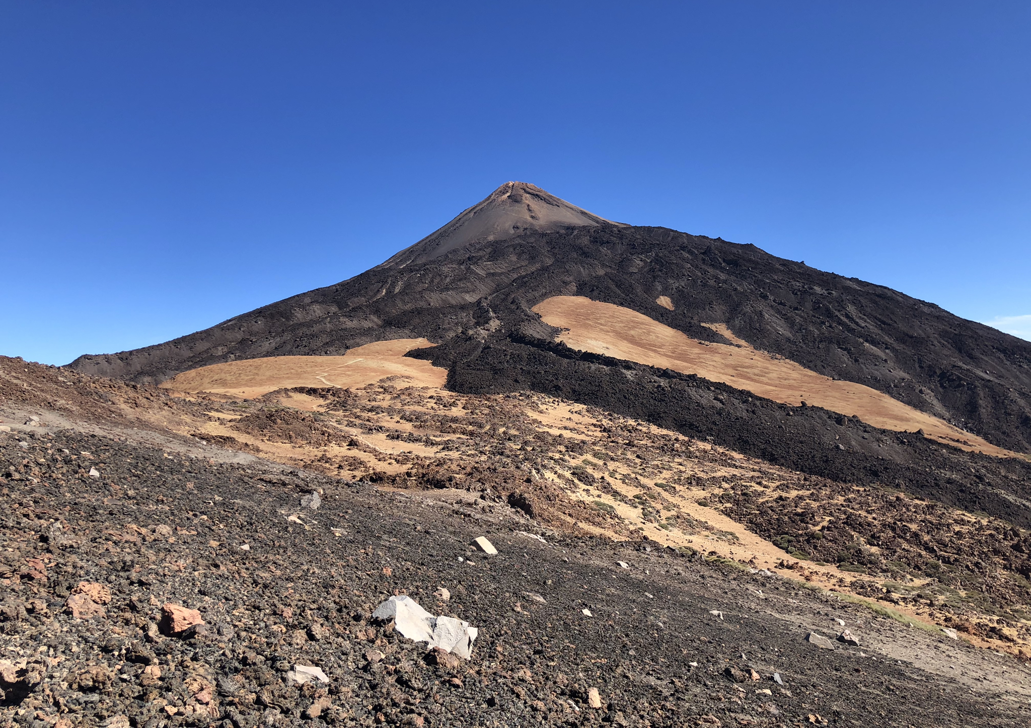
Volcanoes, lava and forests – running in Tenerife
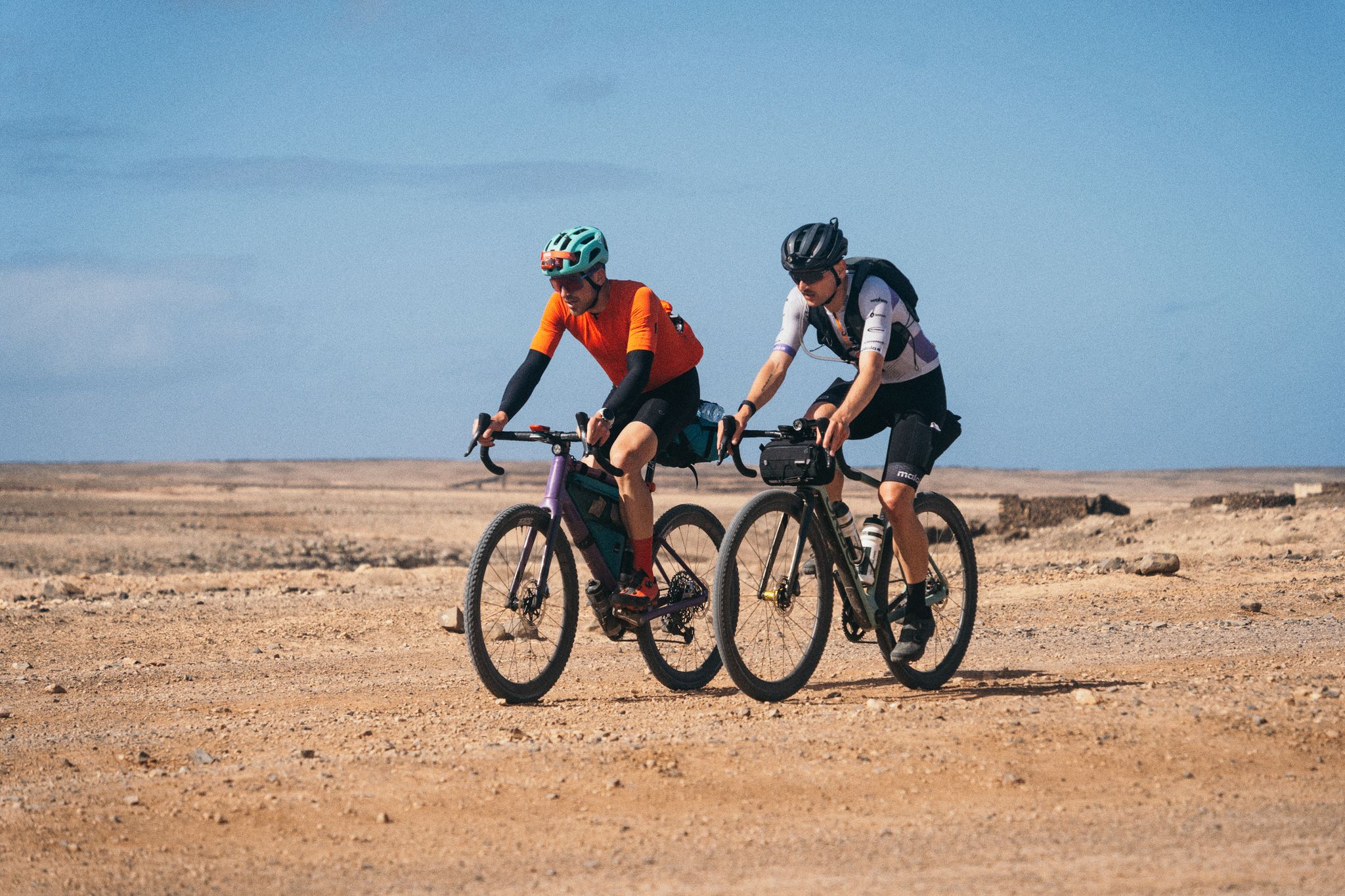
GranGuanche Audax Gravel — five islands in two and a half days
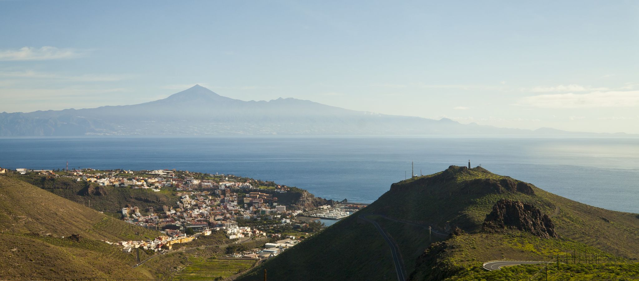
My favourite hikes on Tenerife and La Gomera
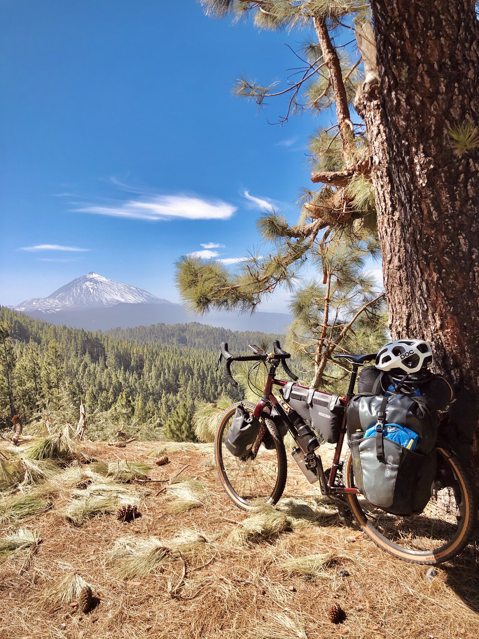
Gravel biking on Tenerife and La Gomera
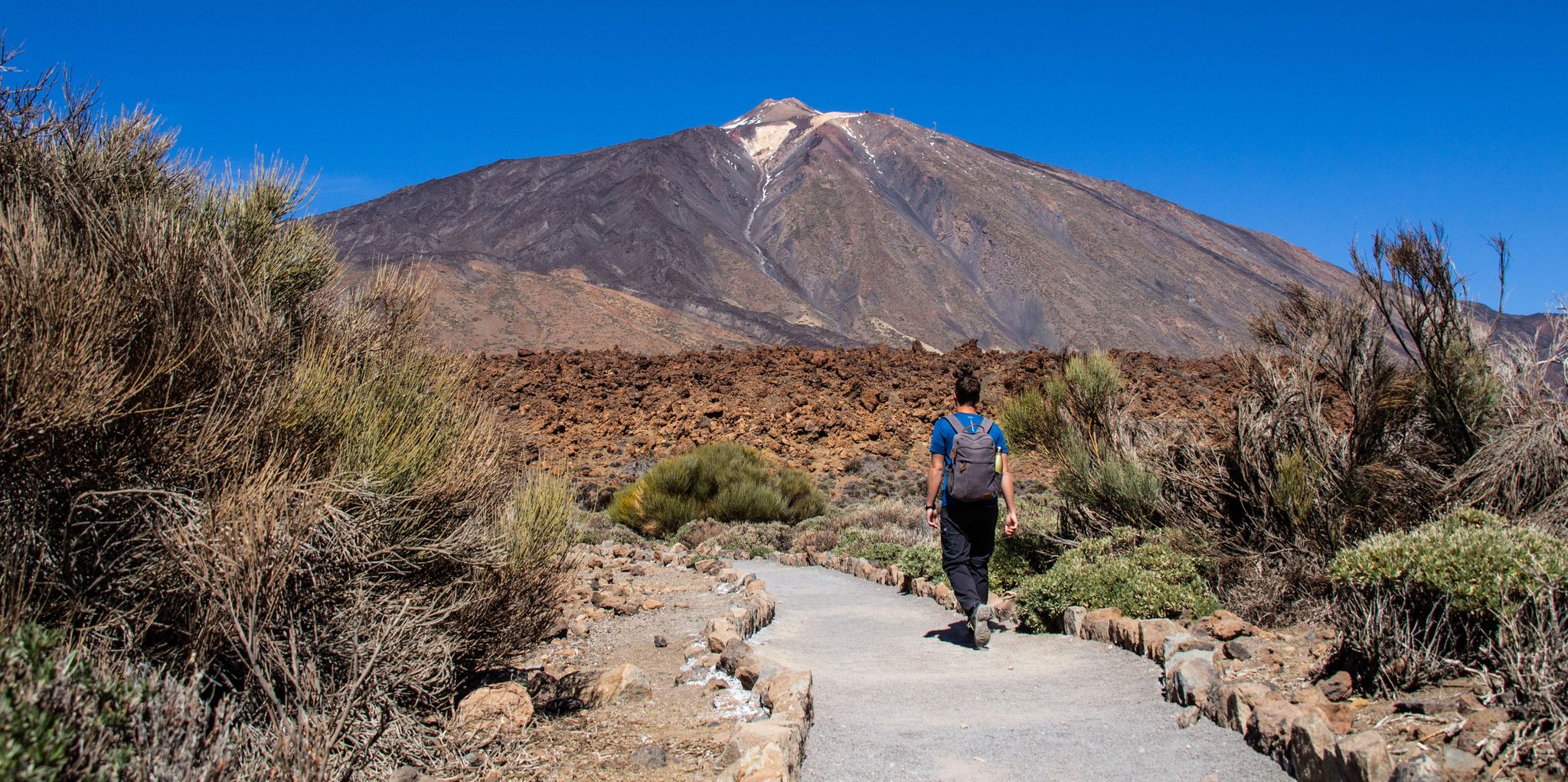
Adventuring in Tenerife — six hiking Tours for every taste
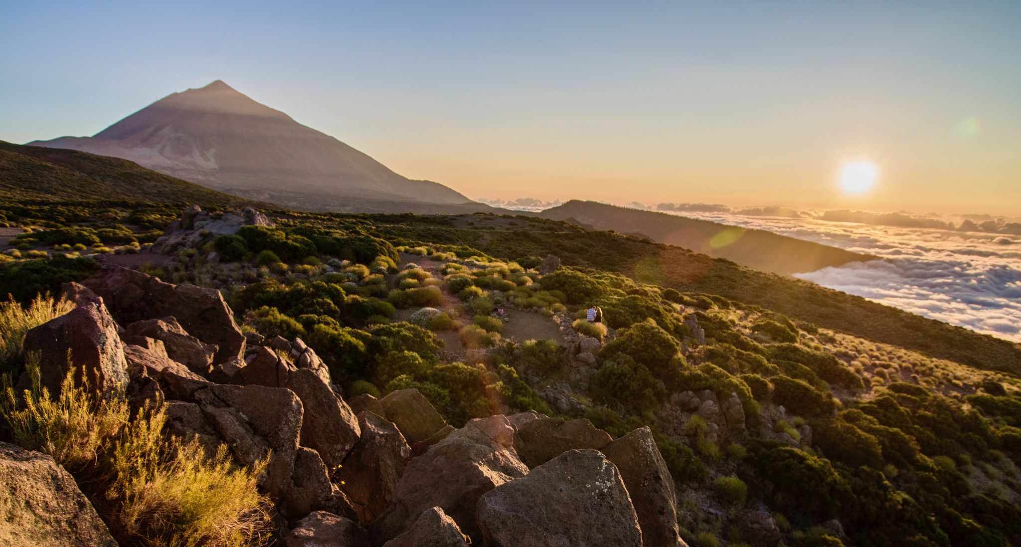
From volcanic peaks to pristine beaches – A hiking paradise in Tenerife
Other adventures around Santa Cruz De Ténérife


Tips from the Community


wonderful view
1
2
Walk the tour counterclockwise!
1
0

Point next to the road where we can enjoy beautiful panoramic views, mainly towards Roque Suárez and the mountain range behind. The winding road that goes below can also be observed in great detail, as well as the typical terraced crops that exist in the area.
1
0
This picturesque hamlet is one of the many rural settlements that are scattered throughout the Anaga Rural Park. In his case, this is part of the Los Valles area, next to Valle Crispín and Valle Grande. The PR-TF 3 Trail passes right through here, which is part of the network of approved trails on the island, making it a very interesting point for hiking.
3
0
At this point on the trail we will have very good views of the Anaga mountains and Roque Suárez, from where we can also see how the road winds below and even some plantations on terraces or terraces on the mountainside.
1
0
Frequently Asked Questions
What are the difficulty levels of mountaineering routes around Santa Cruz De Ténérife?
The mountaineering routes around Santa Cruz De Ténérife cater to various skill levels. You'll find a good mix of options, with 8 moderate routes, 6 difficult routes, and 2 easy routes available. This variety ensures there's something for everyone, from beginners to experienced mountaineers.
What kind of terrain can I expect on mountaineering routes in Santa Cruz De Ténérife?
The terrain is incredibly diverse. You can expect to traverse ancient laurel forests, deep gorges, and dramatic coastlines, particularly in the Anaga Rural Park. Other areas, like Teide National Park, offer unique volcanic, lunar landscapes with lava fields and craters. Routes often feature significant elevation changes, leading through distinct ecosystems and striking geological formations.
Are there any notable viewpoints along the mountaineering routes?
Yes, the region is rich with stunning viewpoints. For example, you can find the Pico del Inglés Viewpoint offering panoramic views, or the Jardina Viewpoint. Many routes also offer views of iconic features like Roque de Taborno and even distant glimpses of Teide.
What natural features can I discover in Anaga Rural Park?
Anaga Rural Park, a UNESCO Biosphere Reserve, is renowned for its lush, ancient laurel forests, deep gorges, and dramatic coastline. You can explore areas like the Laurel Forest at Cruz del Carmen or the Anaga Laurel Forest. Some trails, like the Enchanted Forest Trail, offer a truly prehistoric-like experience, though some require permits.
Can I explore Teide National Park on these mountaineering routes?
While the specific routes listed here are primarily in the Anaga region, Santa Cruz De Ténérife is an excellent base for exploring Teide National Park. Teide, Spain's highest peak, offers dramatic volcanic landscapes. Ascending to the summit requires a permit for the final stretch, but a cable car can take you close to the top, with trails leading to viewpoints like La Fortaleza and Pico Viejo. The park features over 41 itineraries, including trails around the Roques de García.
Do I need permits for mountaineering in areas like Anaga or Teide?
Yes, permits are required for certain areas. For instance, accessing the final stretch of the Telesforo Bravo trail to the summit of Mount Teide requires a permit. Similarly, within Anaga Rural Park, trails like the 'Sendero del Bosque Encantado' (Enchanted Forest Path) in the El Pijaral Integral Natural Reserve also require a permit for access. It's advisable to check local regulations before your trip.
What is the best time of year for mountaineering in Santa Cruz De Ténérife?
Tenerife offers good mountaineering conditions year-round due to its mild climate. However, the best time often depends on the specific area you plan to explore. Higher altitudes, like Teide, can experience snow in winter, while coastal and lower-lying areas remain pleasant. Spring and autumn generally offer the most comfortable temperatures for extended hikes across the island's diverse landscapes.
Are there family-friendly mountaineering routes?
Yes, among the 16 available routes, there are options suitable for families. While many routes involve significant elevation changes, the presence of 2 easy routes suggests there are less strenuous options. When planning with family, look for routes with shorter distances and less elevation gain, often found in the lower sections of the parks or coastal paths.
Are there circular mountaineering routes available?
Absolutely. Many of the mountaineering routes around Santa Cruz De Ténérife are designed as loops, allowing you to start and end at the same point. Examples include the popular Taganana Village – View of Afur loop from Macizo de Anaga Biosphere Reserve and the Roque Bermejo Beach loop from El Morro. These circular routes are convenient for planning your day.
What do other mountaineers enjoy the most about mountaineering in Santa Cruz De Ténérife?
The area is highly rated by the komoot community, with an average score of 4.6 stars from over 50 reviews. Reviewers often praise the incredible diversity of landscapes, from the lush, ancient forests of Anaga to the dramatic volcanic scenery. The challenging ascents and breathtaking coastal views are frequently highlighted as major draws for mountaineers.
How long do mountaineering routes typically take to complete?
The duration varies significantly depending on the route's length and difficulty. For example, the Taganana Village – View of Afur loop from Macizo de Anaga Biosphere Reserve, a difficult 8.4-mile route, typically takes around 5 hours and 11 minutes. A shorter, difficult route like the Roque Bermejo Beach loop from El Morro (5.3 miles) can be completed in about 3 hours and 37 minutes. Always check the estimated duration for your chosen route.
Are there any longer, more challenging mountaineering routes for experienced hikers?
Yes, for those seeking a significant challenge, routes like the Cruz de Draguillo – Roque Bermejo Beach loop from Reserva Natural Integral del Pijaral stand out. This difficult route spans over 14 miles (22.6 km) with substantial elevation gain, offering a demanding and rewarding experience for experienced mountaineers.
Most popular routes around Santa Cruz De Ténérife
Most popular attractions around Santa Cruz De Ténérife

Get inspired with the komoot mobile app


Explore more
Browse the best Mountain Hikes & Routes in other regions.
