The best walks and hikes around Riudellots De La Selva
4.3
(870)
7,406
hikers
277
hikes
Hiking around Riudellots De La Selva offers access to a landscape characterized by its extensive water network, including the Onyar River and various streams. The area maintains a rural charm, featuring agricultural fields and historic farmhouses. This region provides a tranquil setting for outdoor activities, serving as a base for exploring the wider La Selva comarca.
Best hiking trails around Riudellots De La Selva
- The most popular hiking route is La Crosa Volcano – hiking in Catalonia, a 3.6…
Last updated: October 2, 2026
4.7
(10)
61
hikers
5.76km
01:34
80m
80m
Easy hike. Great for any fitness level. Easily-accessible paths. Suitable for all skill levels.
5.0
(4)
42
hikers
6.13km
01:41
90m
90m
Easy hike. Great for any fitness level. Easily-accessible paths. Suitable for all skill levels.

4.3
(7)
23
hikers
10.8km
02:54
120m
120m
Moderate hike. Good fitness required. Easily-accessible paths. Suitable for all skill levels.
4.7
(3)
21
hikers
11.0km
02:59
140m
140m
Moderate hike. Good fitness required. Easily-accessible paths. Suitable for all skill levels.
4.6
(7)
25
hikers
10.8km
02:50
100m
100m
Moderate hike. Good fitness required. Easily-accessible paths. Suitable for all skill levels.
Get access to more routes and recommendations from other explorers.
Already have an account?
Our route recommendations are based on thousands of hikes, rides, and runs completed by other people on komoot.
Start today with a free account
Your next adventure awaits.
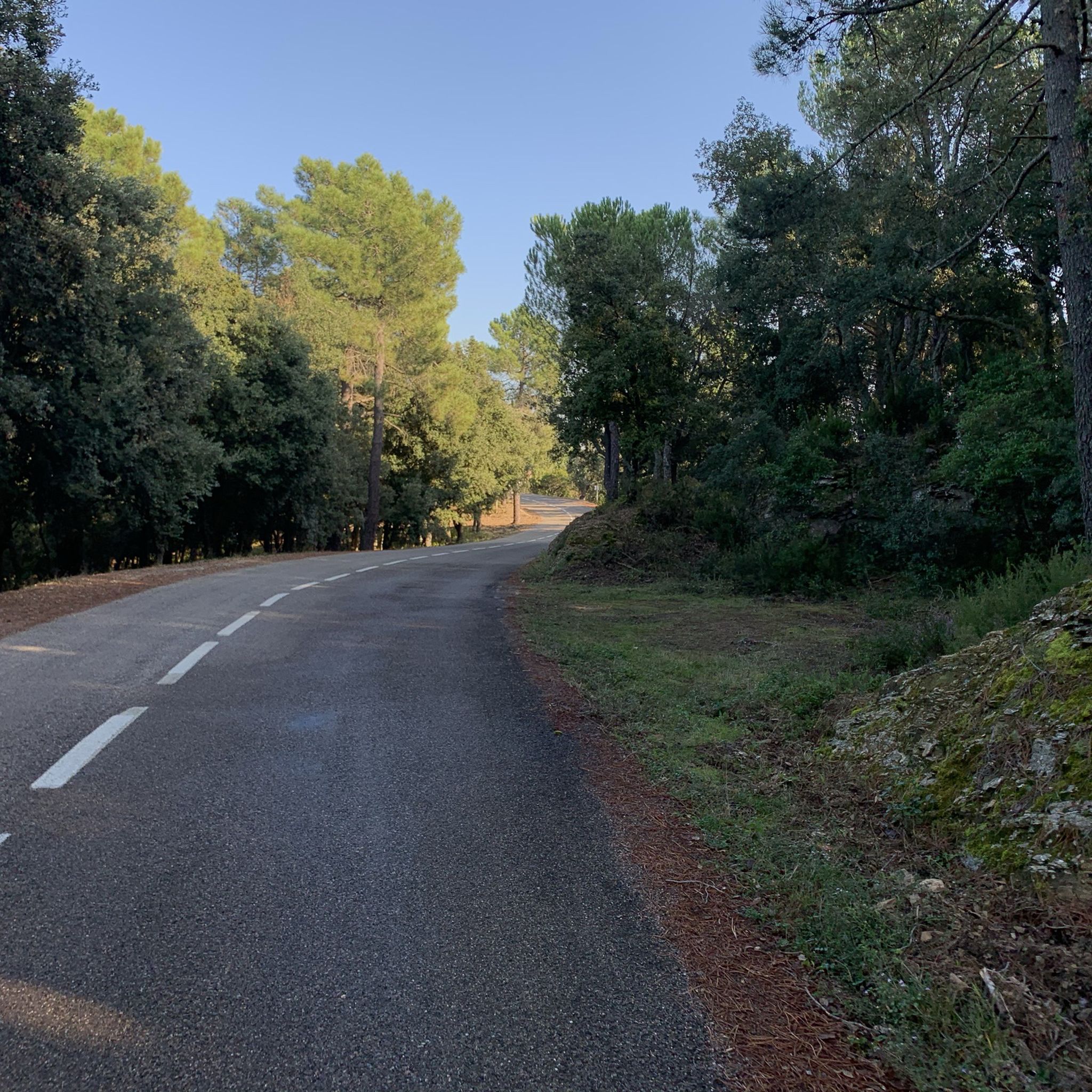
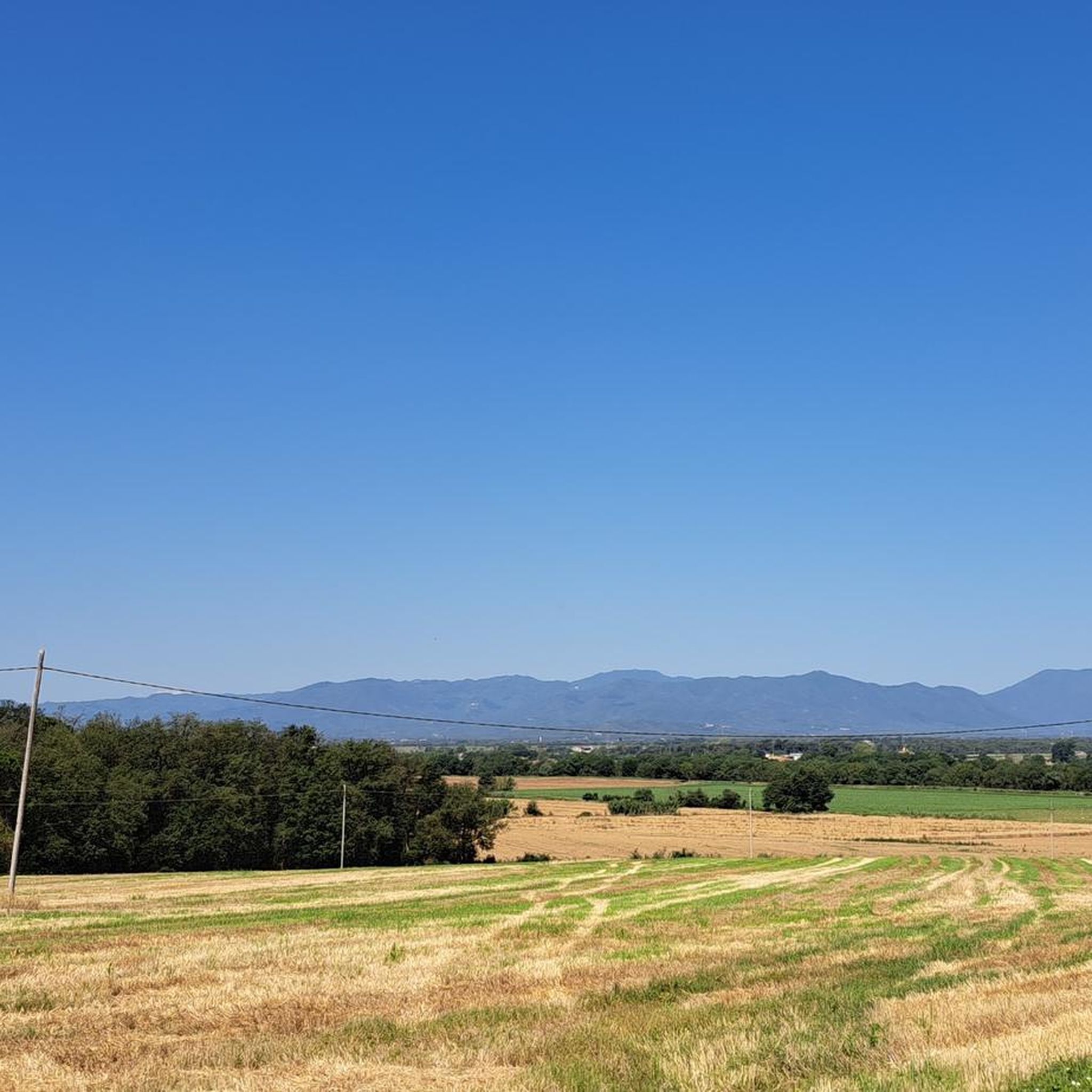

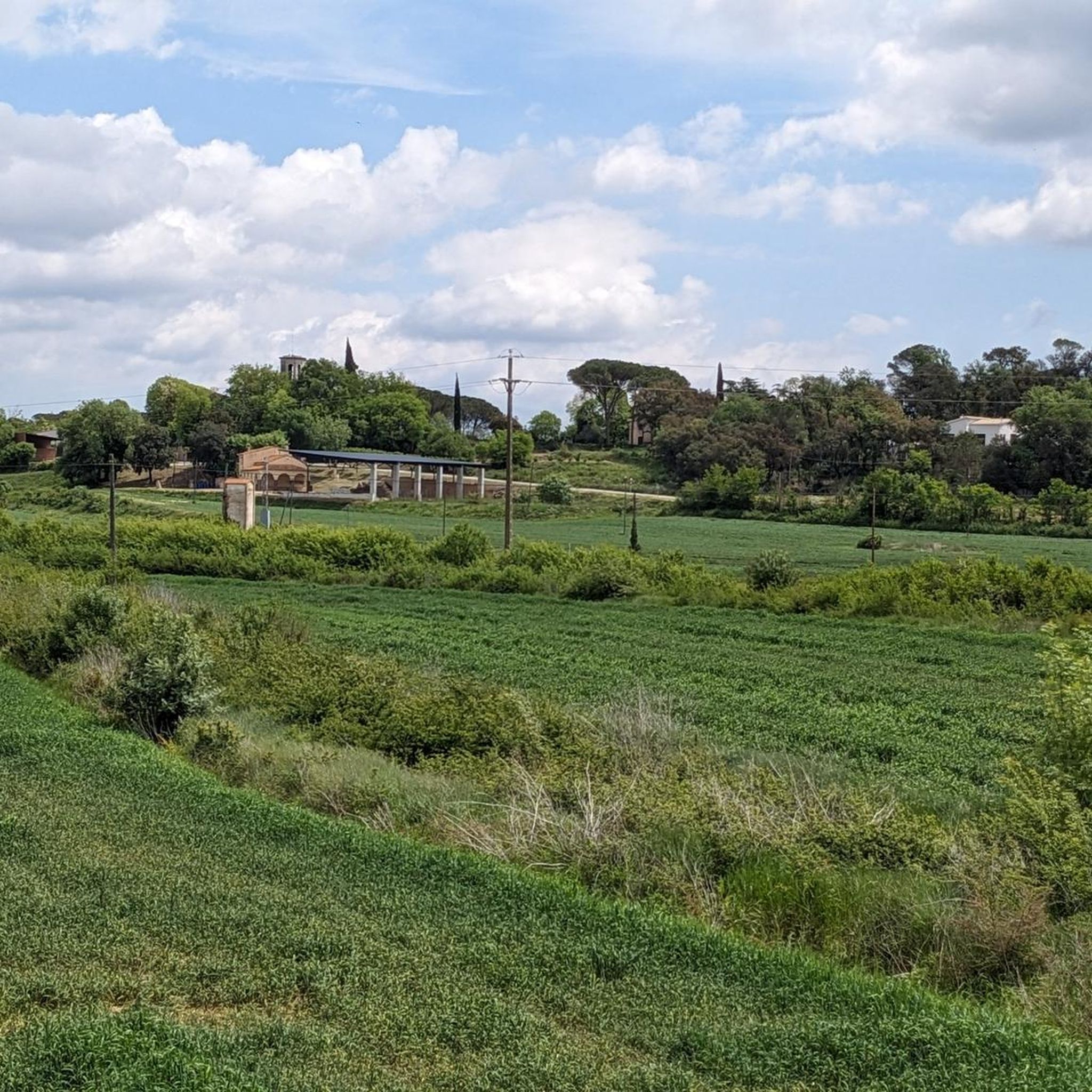
Tips from the Community

The small, artificially created lake is located in a natural and wonderful cork oak forest. It is a popular hiking and cycling destination. The lake is also on the Eurovelo 8. For us, it was perfect for a short siesta.
0
0


At the base of the castle there appears to be an artificial mosaic of hexagonal stones. In reality it is a natural formation made up of columns of basalt (volcanic rocks) that rise vertically, the same phenomenon that can be observed in Castellfollit de la Roca.
0
0

Beautiful spot near the source of the Onyar River.
0
0

The Fountain of Can Bosch is the water mine that comes from the Crater of the La Crossa Volcano.
0
0

Artificial swamp in the middle of a forest of cork oaks.
1
0
Construction began in the medieval era. The facade of the temple is from the 18th century.
2
0
It is part of the route of the hermitages of Caldes de Malavella.
2
0
Frequently Asked Questions
How many hiking trails are available around Riudellots De La Selva?
There are over 240 hiking routes in the Riudellots De La Selva area, offering a wide range of options for different preferences and skill levels. These include 105 easy routes, 132 moderate routes, and 8 more challenging trails.
What kind of terrain can I expect on the hiking trails?
The hiking trails around Riudellots De La Selva are characterized by a tranquil, water-rich environment. You'll find paths along riverbanks, through agricultural fields, and past historic farmhouses, reflecting the area's rural charm. The region is situated in the basin of the Onyar River, so expect routes shaped by streams and torrents.
Are there any easy or family-friendly hikes in the area?
Yes, the region offers many easy routes perfect for families or those seeking a relaxed walk. A great option is La Crosa Volcano – hiking in Catalonia, an easy 3.6-mile (5.8 km) trail that explores the area around the volcano.
What are some notable landmarks or attractions I can see while hiking?
While hiking, you can discover various points of interest. For example, the Sant Dalmai Church – Crosa Volcano loop from Volcà de la Crosa offers views of Sant Dalmai Church and the Crosa Volcano. You might also encounter historical sites like Malavella Castle, which is featured on the Malavella Castle – Pantà de Can Llop loop from Caldes de Malavella.
Are there any circular hiking routes available?
Yes, many routes in the area are circular, allowing you to start and end at the same point. Examples include the Sant Dalmai Church – Crosa Volcano loop from Volcà de la Crosa and the Malavella Castle – Pantà de Can Llop loop from Caldes de Malavella, both popular choices among local hikers.
What do other hikers say about the trails in Riudellots De La Selva?
The trails in Riudellots De La Selva are highly regarded by the komoot community, with an average rating of 4.4 stars from over 700 reviews. Hikers often appreciate the tranquil environment, the well-maintained paths along the riverbanks, and the opportunity to explore the rural landscapes.
Are there any hikes that feature water sources or rivers?
Absolutely. Riudellots de la Selva is defined by its extensive water network, including the Onyar River and numerous streams. Many trails follow these waterways, offering serene views and the constant murmur of water. The riverbanks of the Onyar are particularly ideal for leisurely walks.
Can I find longer, more challenging hikes in the region?
While many routes are easy to moderate, there are options for longer hikes. For instance, the Hermitage of Sant Llop – Source of the Onyar loop from Volcà de la Crosa is a moderate 6.7-mile (10.8 km) trail that takes around 2 hours 53 minutes to complete, offering a more extended exploration of the landscape.
Is Riudellots De La Selva a good base for exploring wider regional attractions?
Yes, Riudellots de la Selva's strategic location makes it an excellent starting point for exploring the broader La Selva comarca and areas near Girona. You can easily access scenic spots like the Santa Pellaia Pass or the Els Àngels Climb from Girona, both known for their beautiful views.
Are there any trails near the Girona-Costa Brava Airport?
Yes, there are hiking opportunities close to the Girona-Costa Brava Airport. The Les Guilloteres – Resclosa de Can Borra loop from Girona-Costa Brava Airport is a moderate 6.8-mile (11 km) route that starts from the airport area, providing convenient access for travelers.
What is the best time of year to go hiking in Riudellots De La Selva?
The region offers pleasant hiking conditions for much of the year. Spring and autumn generally provide mild temperatures and beautiful scenery, ideal for exploring the riverbanks and rural landscapes. Even in summer, the presence of water features can make for enjoyable walks, especially in the mornings or late afternoons.
Most popular routes around Riudellots De La Selva
Most popular attractions around Riudellots De La Selva

Get inspired with the komoot mobile app


Explore more
Browse the best Hikes in other regions.
