The best road cycling routes around Encinasola
73
riders
10
rides
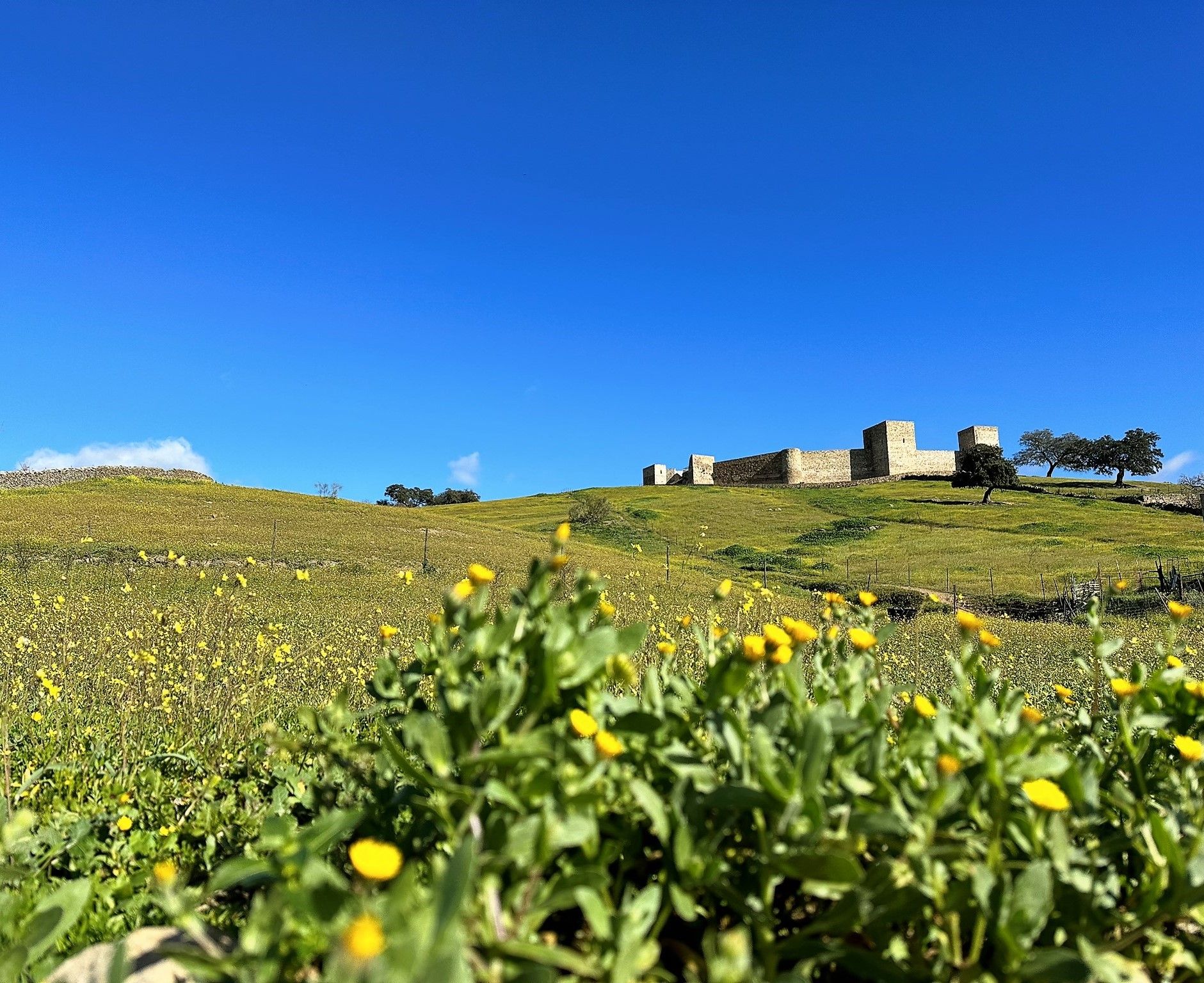
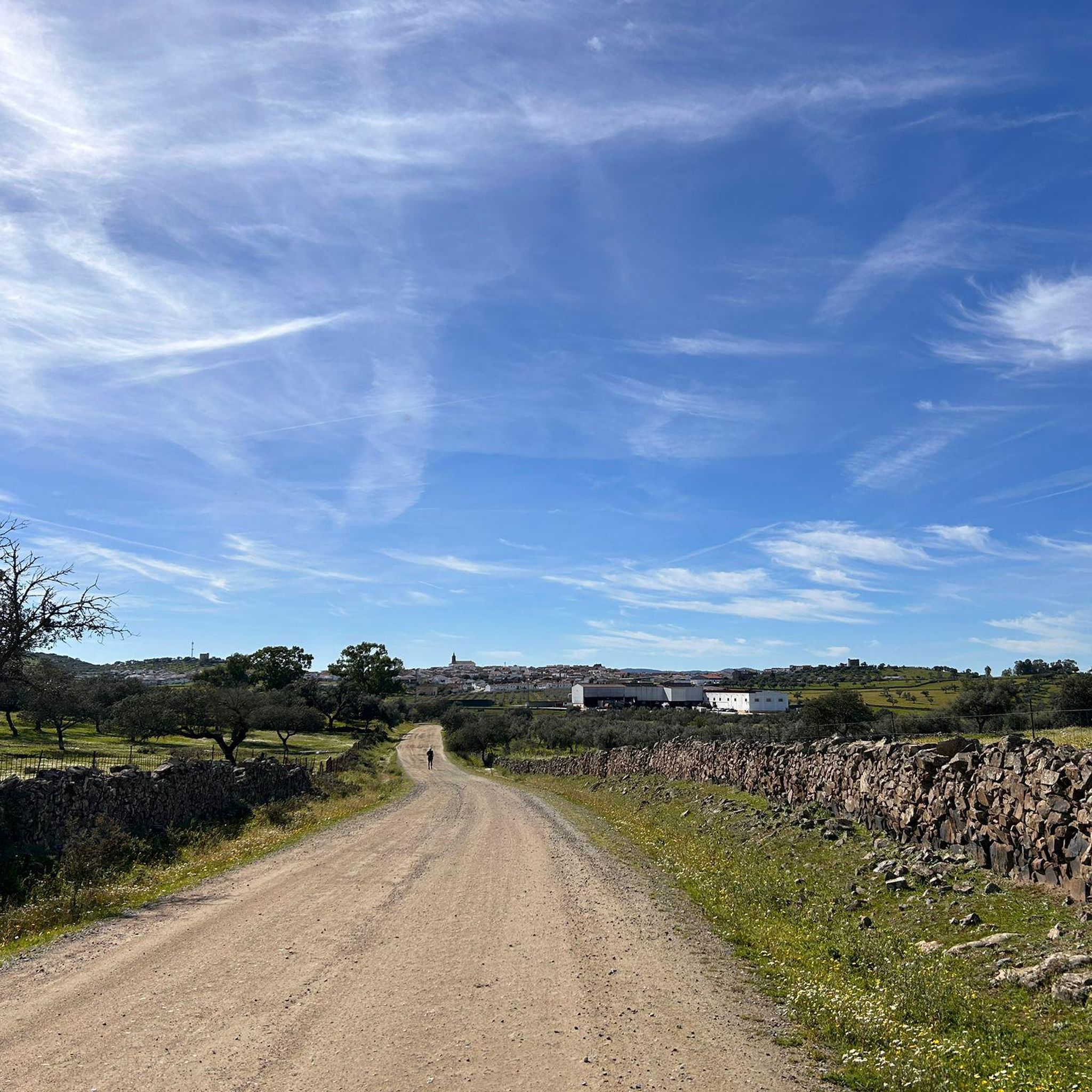
Road cycling routes around Encinasola are situated within the Sierra de Aracena y Picos de Aroche Natural Park in northern Huelva province. The terrain features rolling meadows and low hills, characterized by extensive oak, cork oak, and chestnut forests. The Río Múrtigas Valley adds lush riparian forests and water features to the landscape, creating varied scenery for cyclists. The region's roads often have low traffic, providing a tranquil environment for rides with diverse gradients.
Best road cycling routes around Encinasola
…Last updated: May 14, 2026
6
riders
78.4km
04:12
1,130m
1,130m
Hard road ride. Very good fitness required. Some segments of this route may be unpaved and difficult to ride.
11
riders
64.1km
02:54
720m
720m
Moderate road ride. Good fitness required. Mostly well-paved surfaces and easy to ride.

Sign up for free
10
riders
61.1km
02:55
640m
640m
Moderate road ride. Good fitness required. Mostly well-paved surfaces and easy to ride.
9
riders
122km
06:15
1,880m
1,880m
Hard road ride. Very good fitness required. Some segments of this route may be unpaved and difficult to ride.
7
riders
106km
05:39
1,860m
1,860m
Hard road ride. Very good fitness required. Some segments of this route may be unpaved and difficult to ride.
Get access to more routes and recommendations from other explorers.
Sign up for free
Already have an account?
Our route recommendations are based on thousands of hikes, rides, and runs completed by other people on komoot.
Start today with a free account
Your next adventure awaits.
Login or Signup
Other adventures around Encinasola

Tips from the Community

Valle de Matamoros is a small and charming municipality in the province of Badajoz, in the autonomous community of Extremadura, located in the Sierra Suroeste region, very close to Jerez de los Caballeros. It lies on the eastern slope of the Sierra de San José mountain range, with altitudes ranging from 550 to 670 meters. Its rugged terrain gives it a unique urban layout, with steep streets and natural viewpoints along the village's access roads.
5
0
Jerez de los Caballeros is a town with a rich historical legacy, located in the southwest of the province of Badajoz, Extremadura. Ancient Origins: Its history dates back to the Phoenicians, passing through Roman, Visigothic, Muslim, and Christian periods. It was known as Ceret, Fama Iulia, Xerixa, and finally Jerez de los Caballeros after the Reconquista. Templars: In the 13th century, the Knights Templar took control of the town, leaving an indelible mark on its architecture and culture. Historic Center: Declared a Historic-Artistic Site, it is notable for its Baroque churches, medieval walls, cobbled streets, and stately homes.
6
0

It's a small border town with a rich history, where you'll find the necessary services to rest and recharge if you're passing through.
2
0

Very beautiful Spanish town very close to the Portuguese border
7
0
The Convent of the Poor Clares in Cumbres Mayores, Huelva, has a rich and significant history. Founded in 1467 by Papal Bull of Pope Paul II, it was initially called "Our Lady of Consolation". In 1515, it was rebuilt under the guardianship of the Cathedral of Seville and was renamed "Our Lady of the Conception".
3
0
The Hermitage of Our Lady of Hope in Cumbres Mayores, Huelva, is a place of great historical and religious value. Its construction dates back to the beginning of the 14th century, although it has undergone several renovations over the centuries.
3
0
This castle was entrusted to the Knights Templar in the 13th century. The castle has seven towers, the most notable of which is the Torre del Homenaje, which has a bell tower from the 18th century. Inside the fortress are the Plaza de Toros, built at the end of the 18th century, and the Plaza de Abastos, which dates from the beginning of the 20th century. In addition, the Church of Santa María and the Parish House are attached.
7
0
The Plaza de Toros de Fregenal de la Sierra is located in the municipality of the same name, in the province of Badajoz. This plaza has a special charm, as it is located in the courtyard of the Templar castle. Built in 1781, the plaza has a capacity for 4,800 spectators and is classified as third category. The history of the plaza is closely linked to the urban development of the town and the influence of the castle fortress.
6
0
Frequently Asked Questions
What kind of terrain can I expect on road cycling routes around Encinasola?
Road cycling routes in Encinasola traverse a diverse landscape within the Sierra de Aracena y Picos de Aroche Natural Park. You'll encounter rolling meadows, low hills, and extensive forests of oak, cork oak, and chestnut trees. The Río Múrtigas Valley adds lush riparian areas and water features, providing varied scenery and natural shade along your ride.
Are the road cycling routes in Encinasola suitable for beginners or advanced cyclists?
Encinasola offers a range of road cycling routes catering to different skill levels. While there are no routes specifically classified as 'easy' in our guide, you'll find 4 moderate routes and 6 difficult routes. The region is known for its varied gradients, from moderate slopes to significant climbs, allowing both intermediate and advanced cyclists to find suitable challenges.
What are some of the longer road cycling routes available in the Encinasola area?
For those seeking longer rides, consider routes like the Higuera la Real – Convent of the Poor Clares loop from Oliva de la Frontera, which spans approximately 121.5 km. Another challenging option is the Los Marines Village – Galaroza Historic Town Center loop from Encinasola, covering about 106.3 km.
Are there any circular road cycling routes around Encinasola?
Yes, many of the routes around Encinasola are designed as circular loops. For example, the Jerez de los Caballeros and Valle de Matamoros — circular from Oliva de la Frontera is a popular 78.4 km circular route. Other circular options include the Villanueva del Fresno loop from Oliva de la Frontera and the Zahínos Tower loop from Oliva de la Frontera.
What kind of traffic can I expect on the roads while cycling in Encinasola?
A significant advantage of road cycling in the Encinasola area, particularly within the Sierra de Aracena y Picos de Aroche Natural Park, is the generally very low traffic on many roads. This allows for peaceful and immersive rides, letting you fully enjoy the breathtaking scenery without frequent interruptions.
What natural features or landmarks can I see along the road cycling routes?
As you cycle, you'll pass through ancient dehesas, traditional Mediterranean woodlands, and lush riparian forests along the Río Múrtigas. Notable points of interest nearby include the scenic Zaos Reservoir, the historic settlement of Higuera la Real, and the impressive Castle of Cumbres de San Bartolomé.
Are there any challenging climbs for advanced road cyclists in Encinasola?
Absolutely. The Sierra de Aracena and Sierra de Huelva areas are known for their 'hard road rides' with substantial elevation gains. Many routes feature significant climbs, with gradients ranging to challenge experienced cyclists. For instance, the Jerez de los Caballeros and Valle de Matamoros — circular from Oliva de la Frontera route includes over 1100 meters of elevation gain.
What makes Encinasola a good destination for road cycling?
Encinasola's appeal for road cycling stems from its location within a protected natural park, offering diverse landscapes of rolling hills, dense forests, and river valleys. The region boasts varied terrain with options for different skill levels, from moderate to challenging, and is characterized by tranquil, low-traffic roads, allowing for an immersive and scenic cycling experience.
How long do road cycling routes typically take to complete in Encinasola?
The duration of road cycling routes varies depending on their length and difficulty. For example, a moderate route like the Zahínos Tower loop from Oliva de la Frontera (61.0 km) can be completed in about 2 hours 54 minutes. Longer, more difficult routes, such as the Higuera la Real – Convent of the Poor Clares loop from Oliva de la Frontera (121.5 km), may take over 6 hours.
What is the best time of year for road biking in Encinasola?
While specific seasonal details are not provided, the Mediterranean climate of Andalusia generally makes spring (March to May) and autumn (September to November) ideal for road cycling. During these periods, temperatures are typically milder, and the natural landscapes are at their most vibrant, offering comfortable riding conditions.
Are there any specific natural parks or protected areas that road cyclists will pass through?
Yes, all road cycling routes around Encinasola are situated within the beautiful Sierra de Aracena y Picos de Aroche Natural Park. This protected area is characterized by its rich biodiversity, ancient dehesas, and lush river valleys, providing a stunning backdrop for your rides.
Most popular routes around Encinasola
Most popular attractions around Encinasola

Get inspired with the komoot mobile app


Explore more
Browse the best Road cycling routes in other regions.
