The best walks and hikes around Navalosa
4.2
(52)
418
hikers
22
hikes
Hiking around Navalosa provides access to the foothills of the Sierra de Gredos, characterized by granite formations, forested valleys, and clear mountain streams. The region features a mix of terrain, from moderate paths along rivers to more demanding ascents through mountain passes. These diverse landscapes offer a range of hiking opportunities for different skill levels.
Best hiking trails around Navalosa
- The most popular hiking route is La Cendra del Espino Trail (PRC-AV 12), a 9.8 miles (15.7 km) trail…
Last updated: October 11, 2026
5.0
(1)
3
hikers
15.7km
04:30
380m
380m
Moderate hike. Good fitness required. Easily-accessible paths. Suitable for all skill levels.
4.0
(1)
9
hikers
10.3km
02:57
240m
250m
Moderate hike. Good fitness required. Easily-accessible paths. Suitable for all skill levels.

13
hikers
13.3km
05:12
660m
660m
Hard hike. Very good fitness required. Mostly accessible paths. Sure-footedness required.
8
hikers
11.5km
03:28
390m
390m
Moderate hike. Good fitness required. Easily-accessible paths. Suitable for all skill levels.
4.2
(5)
7
hikers
4.86km
01:21
90m
90m
Easy hike. Great for any fitness level. Easily-accessible paths. Suitable for all skill levels.
Get access to more routes and recommendations from other explorers.
Already have an account?
Our route recommendations are based on thousands of hikes, rides, and runs completed by other people on komoot.
Start today with a free account
Your next adventure awaits.

Tips from the Community

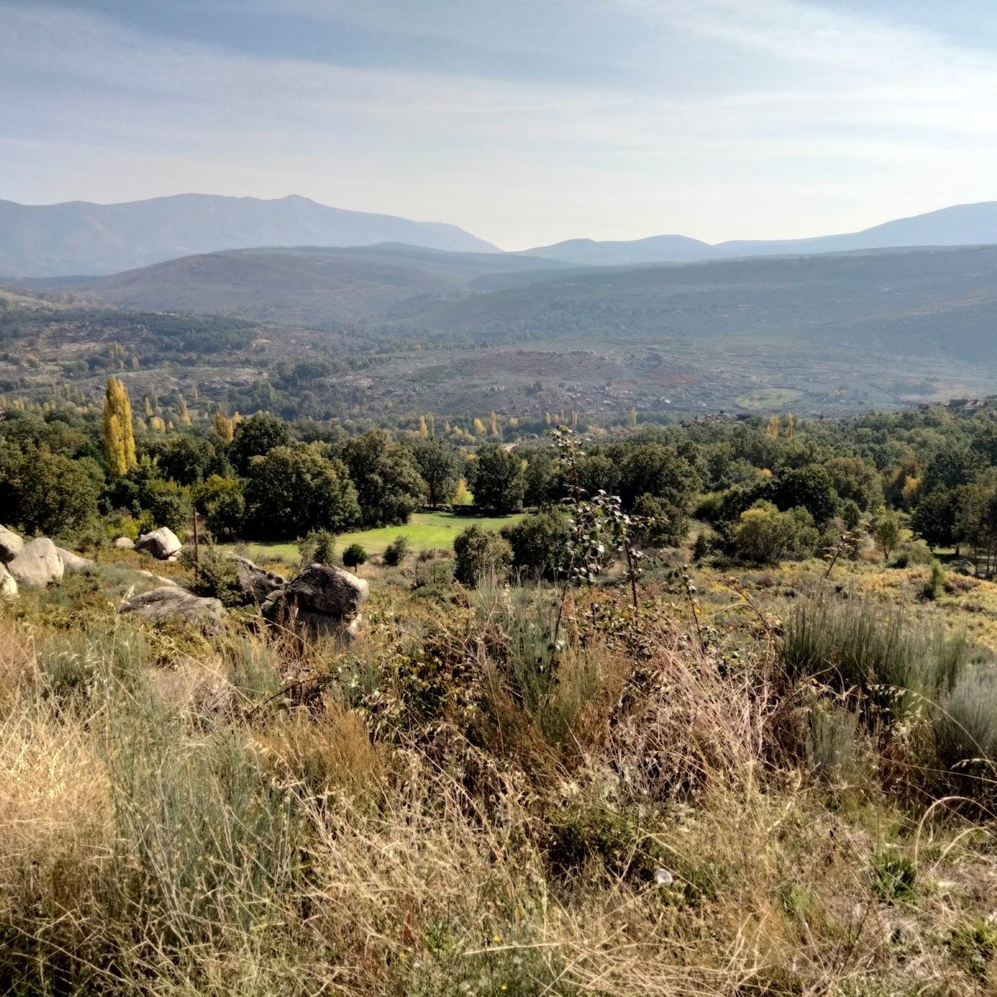
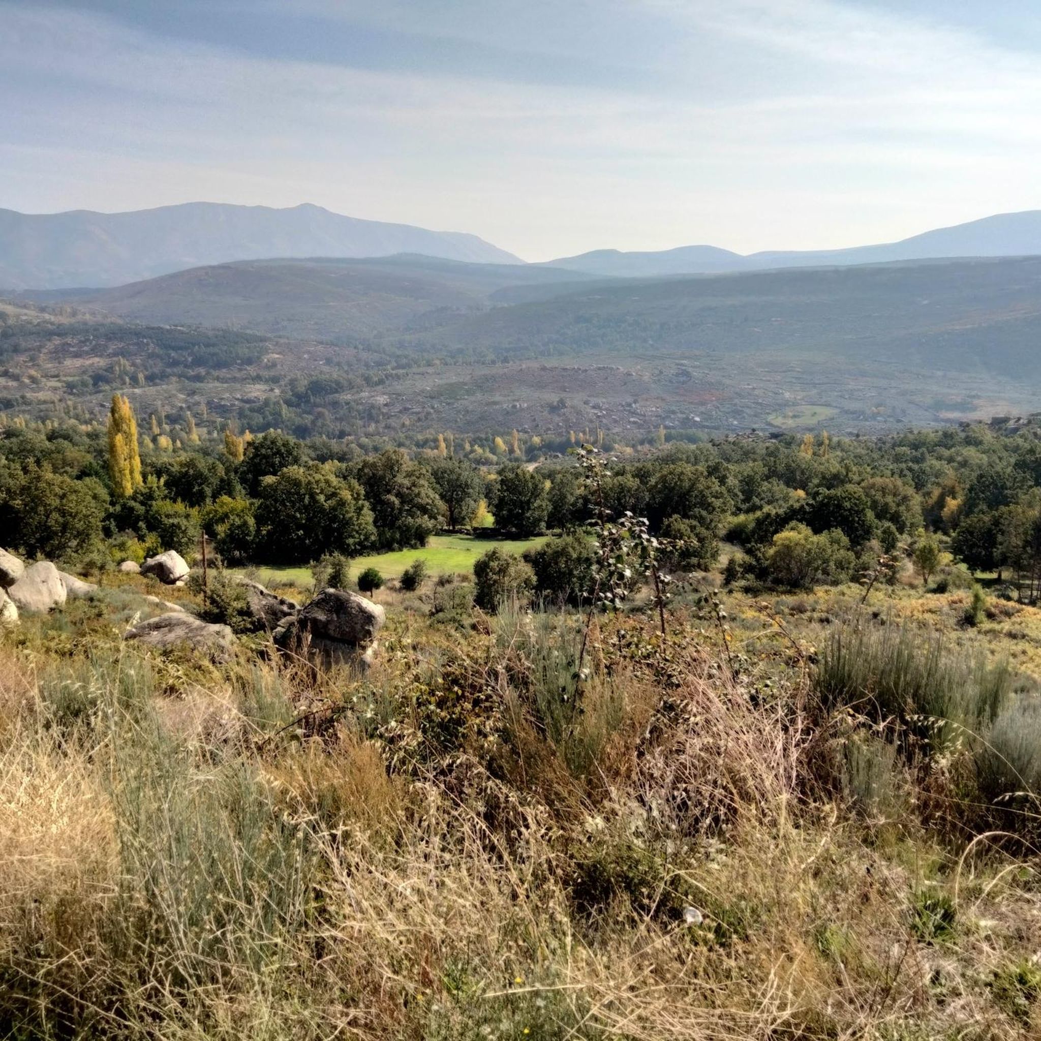
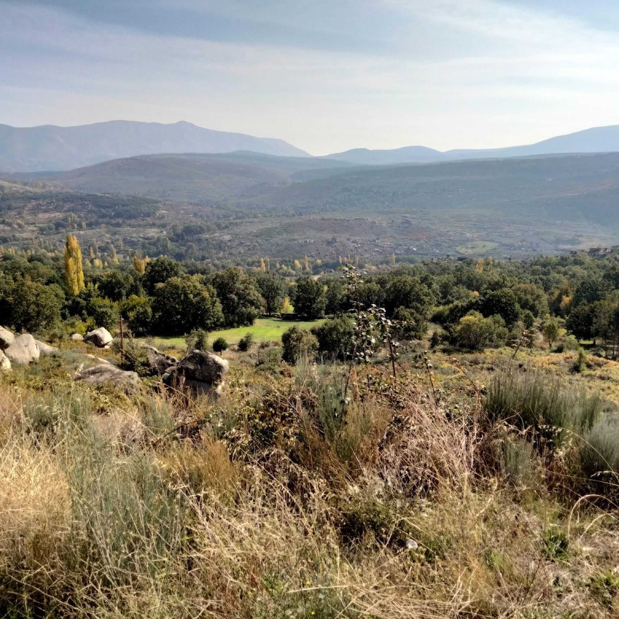
The Serranillos Pass is one of the most iconic mountain passes in the Sierra de Gredos, famous for its beauty and for being a historic stage in the Vuelta a España (Hinault's legendary stage in 1983). Views of the Cinco Villas Valley and the Gredos peaks. Spectacular scenery throughout the climb. Signage with gradient and remaining distance information. Ideal for linking up with Puerto del Pico, Pedro Bernardo, and Mijares for an epic stage.
1
0

The Serranillos pass is one of the great classics of the Tour of Spain as it passes through the Sierra de Gredos. As the Vuelta has almost always ended in Madrid, the Gredos and Guadarrama mountain ranges offered very interesting alternatives to trace mountain stages in the last stages. The port of Serranillos is very iconic in the Sierra de Gredos for several reasons: type of port (long and long), rough and irregular road (but in good condition) and dryland landscape with little vegetation (very typical of this inland area of the Iberian Peninsula). The Serranillos port presents many climbing alternatives: - On its eastern side, there are 2 alternatives: from Burgohondo (the classic one, along the main highway AV-913) and from Navalosa along the AV P-419 highway, which joins the previous one in Navarrevisca. - on its west side, is where we will find more alternatives. I have come to count up to 5 alternatives. They are the following: (1) climb through Santa Cruz del Valle, starting from the N-502 and taking the AV p-706 highway, to later reach San Esteban del Valle and from there to the top; (2) leaving Mombeltrán on the AV-922 highway towards San Esteban del Valle and from there to the top; (3) starting from Cuevas del Valle and passing through Villarejo del Valle on the AV P-706 highway, reaching San Esteban del Valle and from there to the top; (4) starting from the N-502, in the middle of the climb to the Pico pass, taking a road that takes us to the Mirador de la Carretera del Sidrillo and to Esteban del Valle, and from there to the top; (5) previously crossing the Pedro Bernardo port on the AV-922 highway Although I have only done alternative 4 on the eastern slope by bike, they are all very similar. The slopes are gentle and the views, as there is little vegetation, cover a lot of territory.
1
0


The ascent to Cabezo de Gavilanes begins at km.3'5 of the route (up to here dirt forest track), with a steep slope up to the Risco de Miravalles from there it is more bearable. All this climb you have to follow the stone milestones and metal marks on stones that have been placed by the Serranillos Town Hall.
2
0

Villanuerva de Ávila is a town famous for its neighborhoods, some of which still have traditional architecture. The center is located in the Albarchete Valley.
1
0
They are spectacular waterfalls, however you have to follow the track scrupulously to get to where you can see it, since the path is not marked.
1
0

Frequently Asked Questions
How many hiking trails are available around Navalosa?
There are over 19 hiking trails around Navalosa, offering a diverse range of experiences. These include paths through forested valleys, along clear mountain streams, and up to mountain passes in the Sierra de Gredos foothills.
Are there easy hiking trails suitable for beginners in Navalosa?
Yes, Navalosa offers a few easy trails perfect for beginners or those looking for a relaxed walk. There are at least 2 easy routes available, providing gentle paths through the scenic landscape.
Are there any family-friendly hiking options in the Navalosa area?
While specific 'family-friendly' designations aren't always clear, many of the moderate and easy trails around Navalosa are suitable for families. For instance, the Tordigas Waterfalls – Villanueva de Ávila loop from Villanueva de Ávila is a moderate 6.4-mile (10.3 km) trail that leads through picturesque waterfalls and river scenery, which can be an engaging option for families.
Can I bring my dog on the hiking trails around Navalosa?
Generally, dogs are welcome on most hiking trails in the Sierra de Gredos region, including those around Navalosa. However, it's always recommended to keep them on a leash, especially in areas with livestock or protected wildlife, and to check local regulations for specific routes or natural parks.
Are there any circular hiking routes near Navalosa?
Yes, several circular routes are available. A popular option is the Puerto del Pico Viewpoint – Puerto del Arenal loop from Puerto del Pico, which is a challenging 9.8-mile (15.7 km) path offering expansive mountain views. Another is the Tordigas Waterfalls – Villanueva de Ávila loop from Villanueva de Ávila, a moderate 6.4-mile (10.3 km) trail.
What kind of natural attractions or landmarks can I see while hiking in Navalosa?
The hiking trails around Navalosa offer access to various natural attractions. You can explore mountain passes like Puerto de Mijares and Serranillos Pass, or discover summits such as Pico Zapatero and Pico Torozo. The Tordigas Waterfalls are also a notable highlight on one of the routes.
What is the best time of year to go hiking in Navalosa?
The best time to hike in Navalosa is typically during spring (April-June) and autumn (September-October) when the weather is mild and the landscapes are vibrant. Summer can be hot, especially at lower elevations, while winter brings colder temperatures and potential snow in higher mountain areas, requiring appropriate gear and experience.
What are the typical durations for hikes around Navalosa?
Hikes around Navalosa vary significantly in duration. You can find shorter routes, like the Tordigas Waterfalls – Villanueva de Ávila loop, which takes about 2 hours 57 minutes. Longer, more challenging trails, such as the La Cendra del Espino Trail (PRC-AV 12), can take around 4 hours 30 minutes or more.
What do other hikers say about the trails in Navalosa?
The routes in Navalosa are highly rated by the komoot community, with an average score of 4.2 stars from over 40 reviews. Hikers often praise the diverse terrain, from forested areas to mountain passes, and the well-marked paths that cater to various ability levels.
Are there any hikes that feature waterfalls in the Navalosa region?
Yes, the Tordigas Waterfalls – Villanueva de Ávila loop from Villanueva de Ávila is a popular trail that specifically leads through picturesque waterfalls and river scenery, making it a great choice for those looking to experience this natural feature.
What should I wear for hiking in Navalosa?
Given the varied terrain and potential for elevation changes, it's advisable to wear sturdy hiking boots, layered clothing suitable for changing weather conditions, and to carry water, snacks, and sun protection. For more challenging routes or winter conditions, additional gear like trekking poles and waterproof outerwear may be necessary.
How can I get to Navalosa for hiking?
Navalosa is located in the province of Ávila, Spain, within the Sierra de Gredos. The most common way to reach the area is by car, as public transport options can be limited. Roads provide access to the village and various trailheads. Parking is generally available in or near the villages that serve as starting points for hikes.
Most popular attractions around Navalosa

Get inspired with the komoot mobile app


Explore more
Browse the best Hikes in other regions.
