The best walks and hikes around Montferrer I Castellbò
4.5
(29)
260
hikers
15
hikes
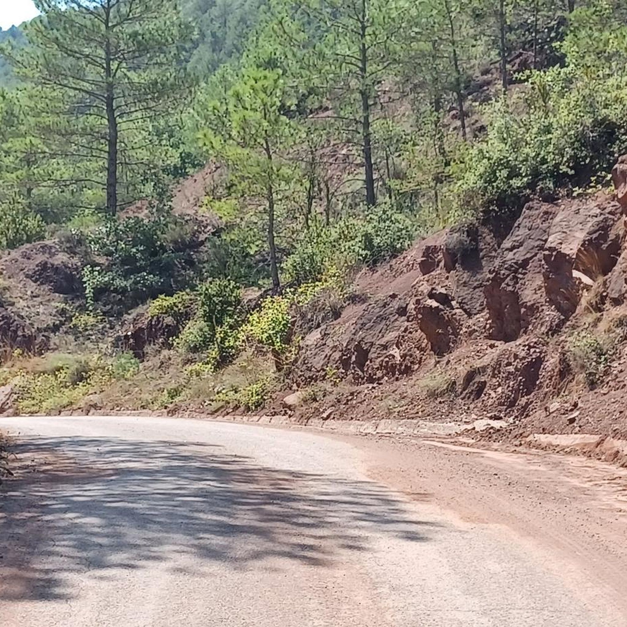
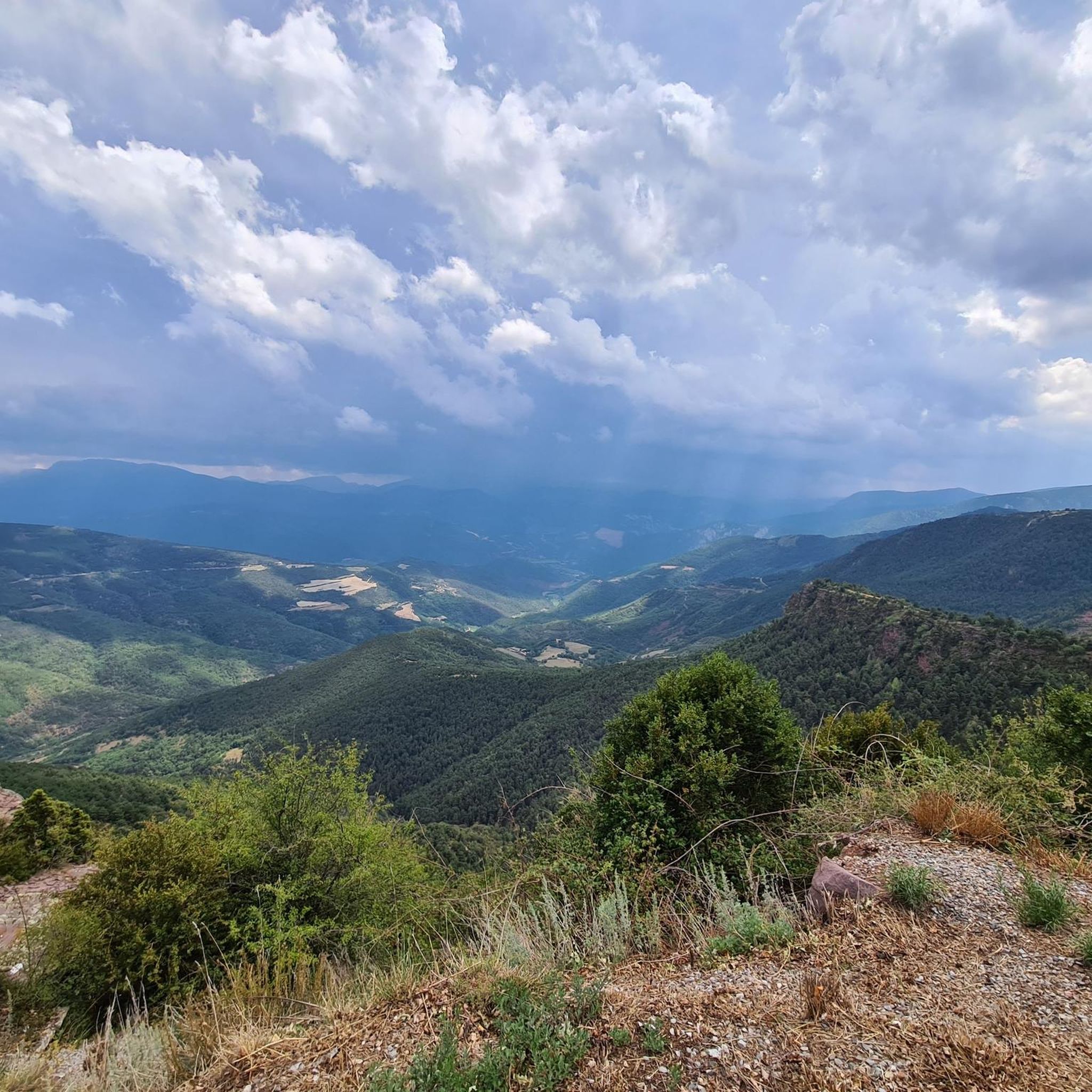
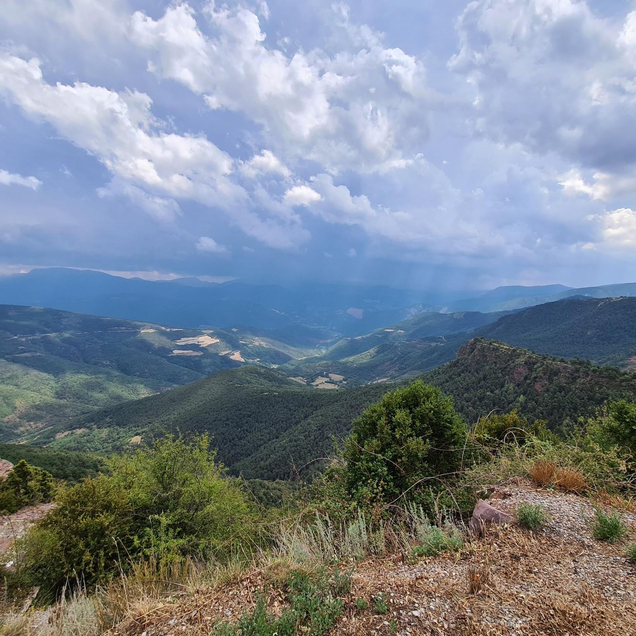
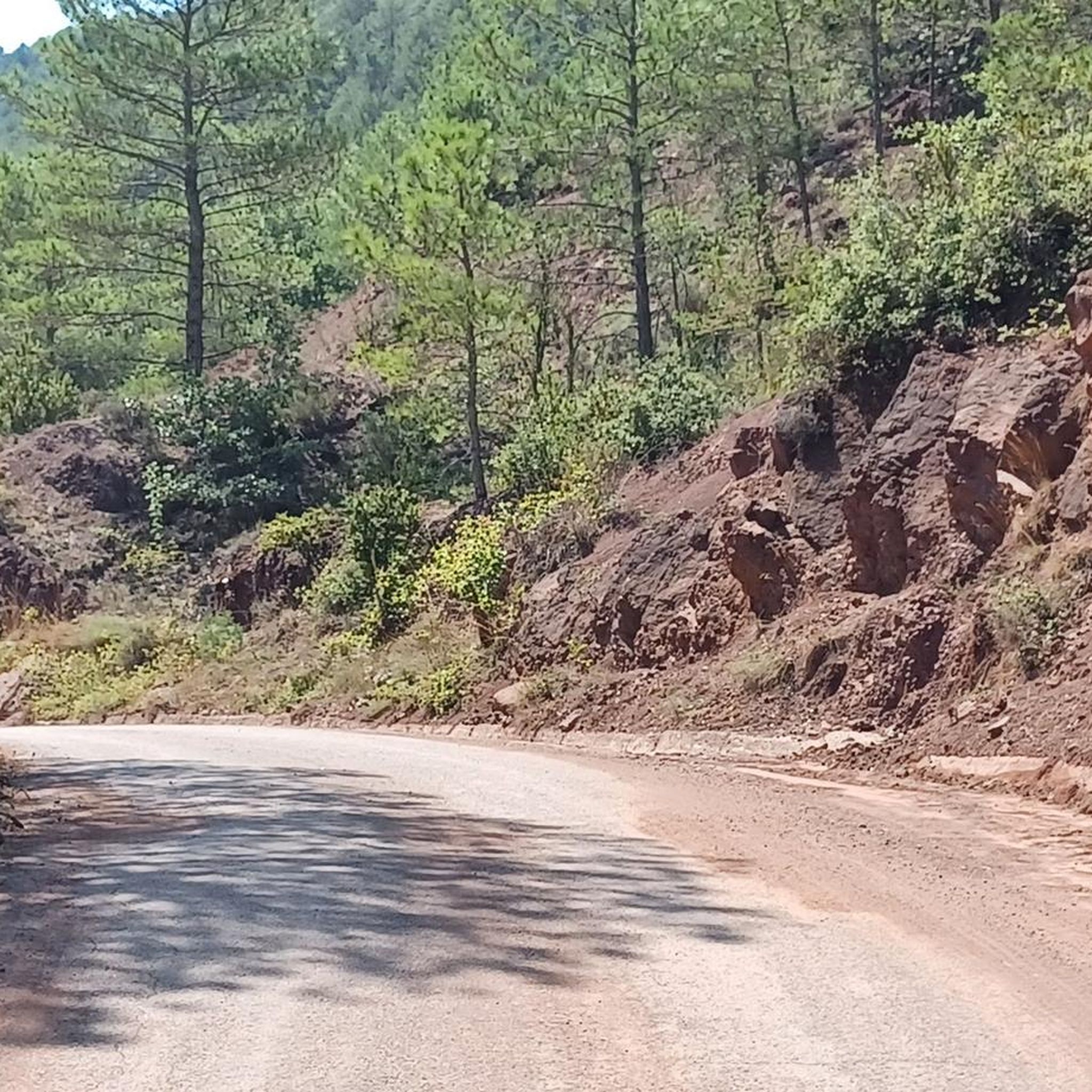
Hiking around Montferrer I Castellbò offers access to the Alt Pirineu Natural Park, characterized by rugged mountain ranges, expansive forests, and a network of rivers and ravines. The region features areas with black pine and fir forests, particularly around Sant Joan de l'Erm. Impressive mountain passes like the Port del Cantó, at 1,721 meters, provide prominent features and views. The municipality encompasses a wide valley irrigated by the Segre, Aravell, Castellbò, and Pallerols rivers.
Best hiking trails around Montferrer I Castellbò
- The most popular hiking route is Path of Freita — High Urgell, a 4.4 miles (7.0 km) trail that takes 2 hours 47 minutes to complete. This moderate route features significant elevation gain through varied terrain.
- Another top favourite among local hikers is Port del Cantó (1,721 m) – lo Tossal loop from Port del Cantó, a moderate 6.6 miles (10.7 km) path. This loop offers views from the Port del Cantó and explores the surrounding mountain landscape.
- Local hikers also love the Sant Joan de l'Erm Vell Ruins – Hermitage of Sant Joan de l'Erm loop from Sant Joan de l'Erm, a 6.7 miles (10.8 km) trail leading through forested areas and historical ruins, often completed in about 3 hours 25 minutes.
- Hiking around Montferrer I Castellbò is defined by high mountain landscapes, dense black pine and fir forests, and historical paths leading to medieval villages and Romanesque churches. The network offers options for easy, moderate, and difficult ability levels.
- The routes in Montferrer I Castellbò are highly rated by the komoot community with an average score of 4.5 stars from over 20 reviews. More than 200 hikers have used komoot to explore Montferrer I Castellbò's varied terrain.
Last updated: May 21, 2026
4.3
(3)
14
hikers
7.01km
02:47
540m
540m
Moderate hike. Good fitness required. Easily-accessible paths. Suitable for all skill levels.
4.8
(5)
49
hikers
Moderate hike. Good fitness required. Easily-accessible paths. Suitable for all skill levels.

Sign up for free
2.0
(1)
24
hikers
Moderate hike. Good fitness required. Easily-accessible paths. Suitable for all skill levels.
4.8
(4)
17
hikers
13.7km
04:27
580m
580m
Moderate hike. Good fitness required. Mostly accessible paths. Sure-footedness required.
11
hikers
Hard hike. Very good fitness required. Easily-accessible paths. Suitable for all skill levels.
Get access to more routes and recommendations from other explorers.
Sign up for free
Already have an account?
Our route recommendations are based on thousands of hikes, rides, and runs completed by other people on komoot.
Start today with a free account
Your next adventure awaits.
Login or Signup

Tips from the Community

The pass summit has been reached. The climb is pleasant!
1
0
The pass summit has been reached
0
0

Very curious about its history
0
0
Very cozy shelter and very good lunch
0
0
Poblar de Segur, the pass on the marked beautiful route
0
0

The Comes de Rubió refuge is located at an altitude of 1,980 metres in the Alto Pirineos natural park, in the Pallars Sobirà region. It has 50 places, a dining room with a fireplace and hot showers. It also offers food and drink service and specialises in traditional mountain dishes.
0
0
The Basseta refuge is located at an altitude of 1,720 metres, on the esplanade of the same name. It has a capacity of 79 places, distributed in rooms with four to six people and the rest in a general dormitory. It also has a fireplace, showers, food service, a living room and a bar.
0
0

Ridden from Sort, it’s a good steady climb, with enough small variations in gradient to provide moments of relief. Great bar half way up too. The descent back to Sort is excilerating.
0
1
Frequently Asked Questions
How many hiking trails are available in Montferrer i Castellbò?
Montferrer i Castellbò offers a diverse selection of over 15 hiking routes. These trails cater to various skill levels, ranging from easy strolls to more challenging excursions through the mountainous terrain.
What kind of landscapes can I expect to see while hiking in Montferrer i Castellbò?
You'll encounter a rich variety of landscapes, primarily shaped by its location within the Alt Pirineu Natural Park. Expect rugged mountain ranges, expansive black pine and fir forests, especially around Sant Joan de l'Erm, and a network of rivers and ravines. Prominent features include impressive mountain passes like the Port del Cantó and wide valleys irrigated by rivers such as the Segre, Aravell, Castellbò, and Pallerols.
Are there any easy hiking trails suitable for beginners or families?
Yes, Montferrer i Castellbò offers several easy routes perfect for beginners or families. While specific easy routes aren't detailed here, the region provides readily accessible paths designed for all skill levels, allowing everyone to enjoy the natural beauty without extensive difficulty.
Where can I find challenging hikes in Montferrer i Castellbò?
For those seeking a more strenuous adventure, the region has challenging options. One notable difficult route is the Hermitage of Sant Joan de l'Erm – Sant Joan de l'Erm Vell Ruins loop from Riu de Santa Magdalena, which spans over 19 kilometers and involves significant elevation changes, leading through forested areas and historical ruins.
Are there any circular hiking routes in the area?
Yes, several circular routes allow you to start and end at the same point. A popular option is the Port del Cantó (1,721 m) – lo Tossal loop from Port del Cantó, which offers views from the mountain pass and explores the surrounding landscape. Another is the Sant Joan de l'Erm Vell Ruins – Hermitage of Sant Joan de l'Erm loop from Sant Joan de l'Erm, taking you through forests and past historical sites.
What natural landmarks or viewpoints can I discover on the trails?
The region is rich in natural landmarks and viewpoints. The Port del Cantó (1,721 m) is a prominent mountain pass offering magnificent views. You can also find other natural monuments and passes like Coll de Creus and the Coma Cervera Holm Oak. The varied terrain ensures many scenic vistas throughout your hike.
Are there any historical or cultural sites accessible via hiking trails?
Absolutely. Montferrer i Castellbò integrates its rich cultural heritage into its hiking experiences. Trekkers can discover historical paths leading to medieval villages and Romanesque churches scattered across the valleys. Notable cultural landmarks include the collegiate church of Castellbò and the ruins of the ancient priory of Santa Maria de Costoja, as well as the Dolmen Cabana del Moro.
What is the best time of year to go hiking in Montferrer i Castellbò?
Given its high mountain climate, Montferrer i Castellbò experiences distinct seasons. While hiking is possible for much of the year, late spring, summer, and early autumn generally offer the most favorable conditions with pleasant temperatures and less chance of snow at higher elevations. Always check local weather conditions before heading out.
Are there mountain refuges available for longer hikes?
Yes, for those undertaking longer excursions or multi-day treks, the region is equipped with mountain refuges. The Refugi de Comes de Rubió, situated at 1,980 meters within the Alt Pirineu Natural Park, offers meals and hot showers. Similarly, the Refugi de la Basseta, at 1,720 meters, provides accommodation and various amenities.
What do other hikers say about the trails in Montferrer i Castellbò?
The hiking routes in Montferrer i Castellbò are highly regarded by the komoot community, holding an average score of 4.5 stars from over 20 reviews. Hikers often praise the stunning high mountain landscapes, the dense forests, and the well-maintained paths that lead to both natural wonders and historical sites.
Can I find trails that offer views of the Port del Cantó?
Yes, the Port del Cantó (1,721 m) is a prominent feature in the region, offering magnificent views. The Port del Cantó (1,721 m) – lo Tossal loop from Port del Cantó is a moderate route specifically designed to showcase this impressive mountain pass and its surrounding landscape.
Are there any trails that pass through old ruins or historical settlements?
Indeed. The region's history is woven into its landscape. The View of Sendes Ruins – Ruins of Solanell loop from Santa Maria is a moderate hike that takes you past the ruins of old settlements, offering a glimpse into the past amidst the natural beauty. Another option is the Sant Joan de l'Erm Vell Ruins – Hermitage of Sant Joan de l'Erm loop from Sant Joan de l'Erm.
Most popular routes around Montferrer I Castellbò
Most popular attractions around Montferrer I Castellbò

Get inspired with the komoot mobile app


Explore more
Browse the best Hikes in other regions.
