The best running trails around Alt Àneu
4.5
(6)
980
runners
23
runs
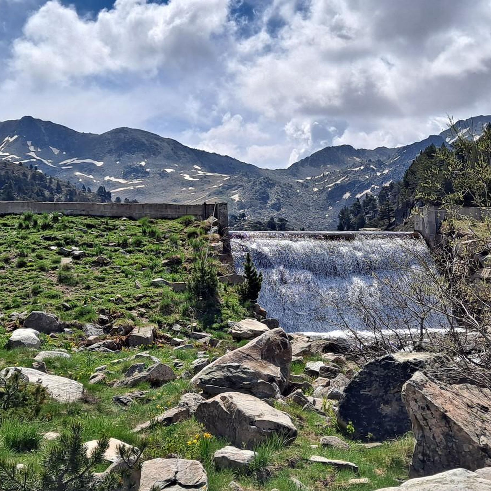
Jogging routes around Alt Àneu traverse the heart of the Catalan Pyrenees, characterized by dramatic alpine peaks, pristine glacial lakes, and dense forests. The region encompasses significant portions of the Alt Pirineu Natural Park and is near the Aigüestortes i Estany de Sant Maurici National Park, offering untouched natural environments. Runners can explore high-mountain lakes, extensive fir and pine forests, and lush valleys shaped by rivers, providing varied terrain for all abilities.
Best jogging routes around Alt Àneu
- The most…
Last updated: November 2, 2026
52
runners
Hard run. Very good fitness required. Sure-footedness, sturdy shoes and alpine experience required.
32
runners
Moderate run. Good fitness required. Mostly paved surfaces.

Hard run. Very good fitness required. Sure-footedness, sturdy shoes and alpine experience required.
2
runners
6.84km
00:50
150m
160m
Moderate run. Good fitness required. Mostly paved surfaces.
12
runners
8.21km
01:14
420m
420m
Hard run. Very good fitness required. Sure-footedness, sturdy shoes and alpine experience required.
Get access to more routes and recommendations from other explorers.
Already have an account?
Our route recommendations are based on thousands of hikes, rides, and runs completed by other people on komoot.
Start today with a free account
Your next adventure awaits.
Popular around Alt Àneu
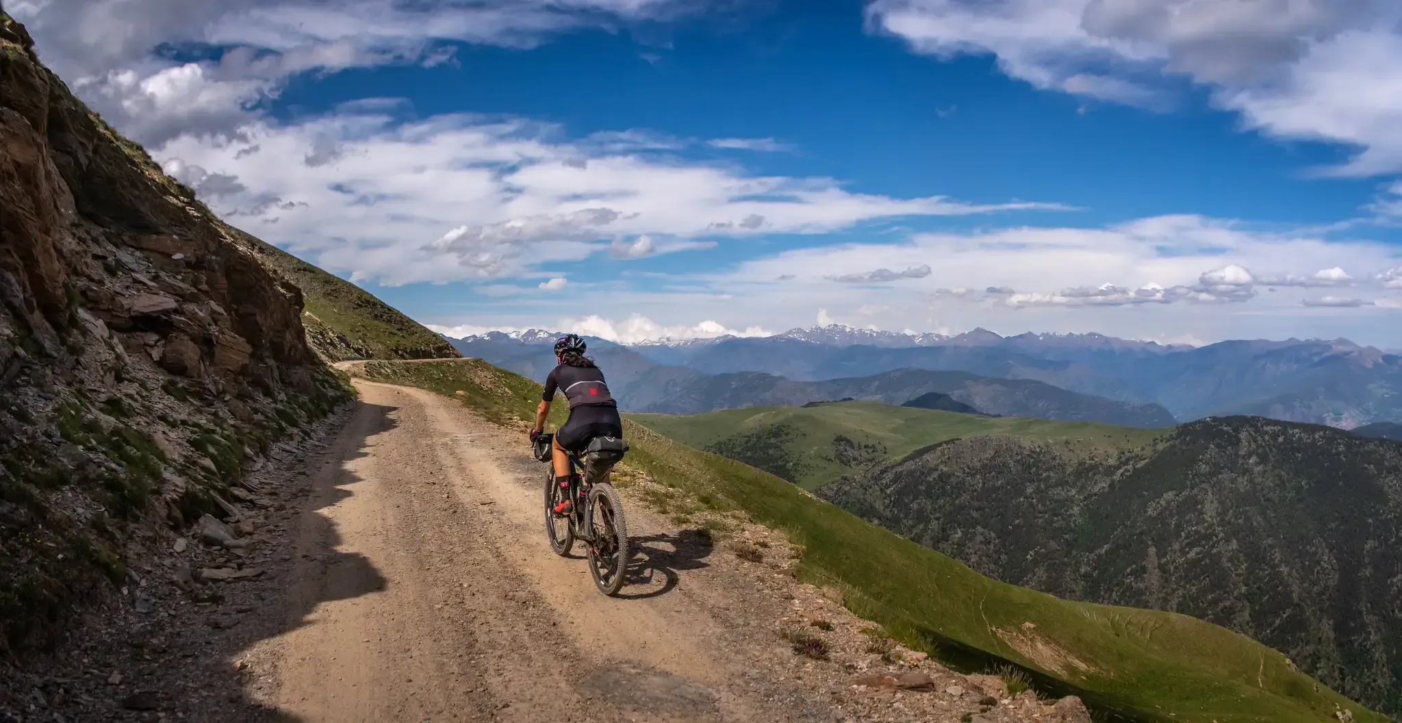
Pedals de Foc – An adventure through the Catalan Pyrenees
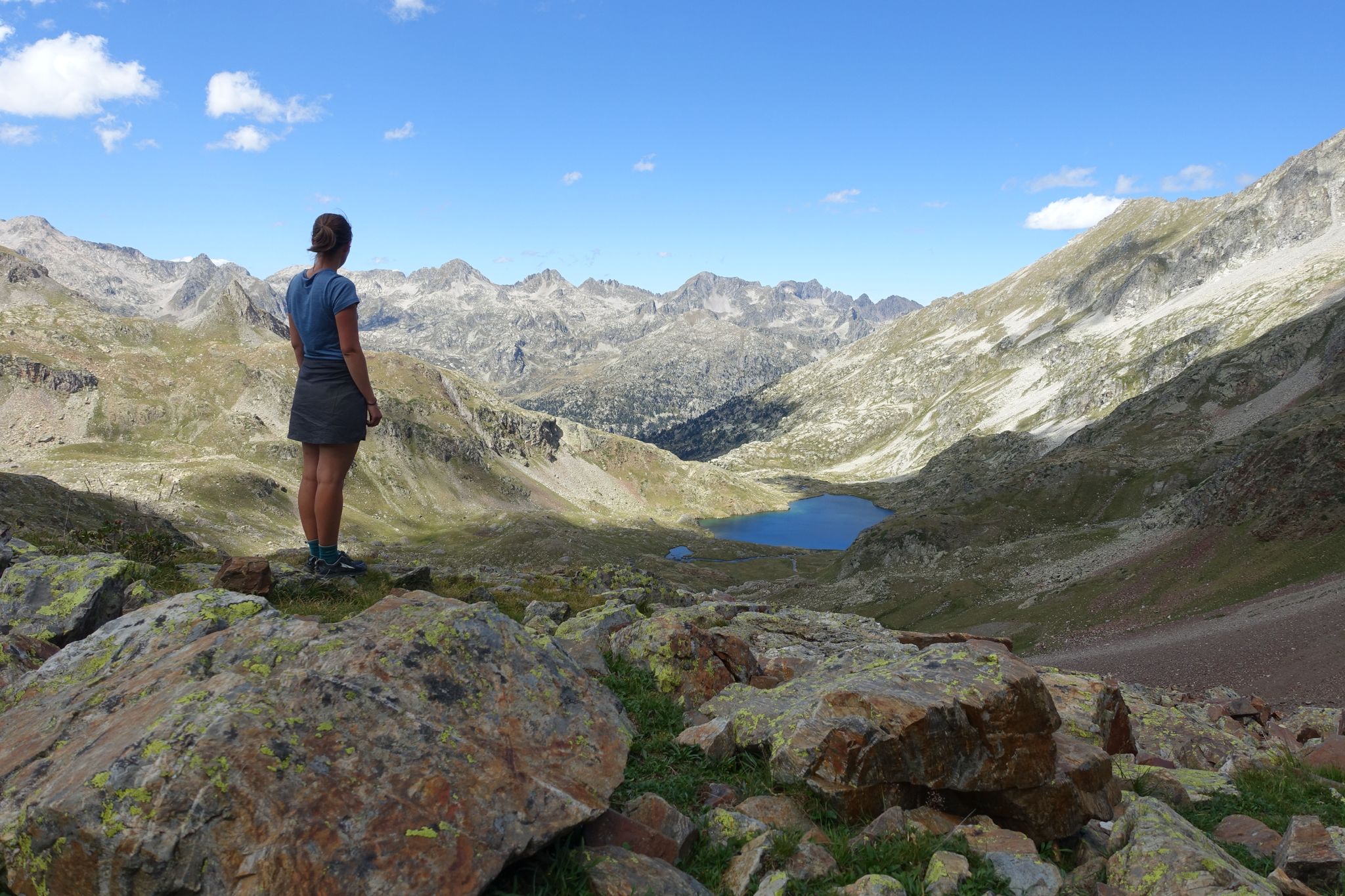
Haute Route Pyrénéenne – Pyrenees Crossing
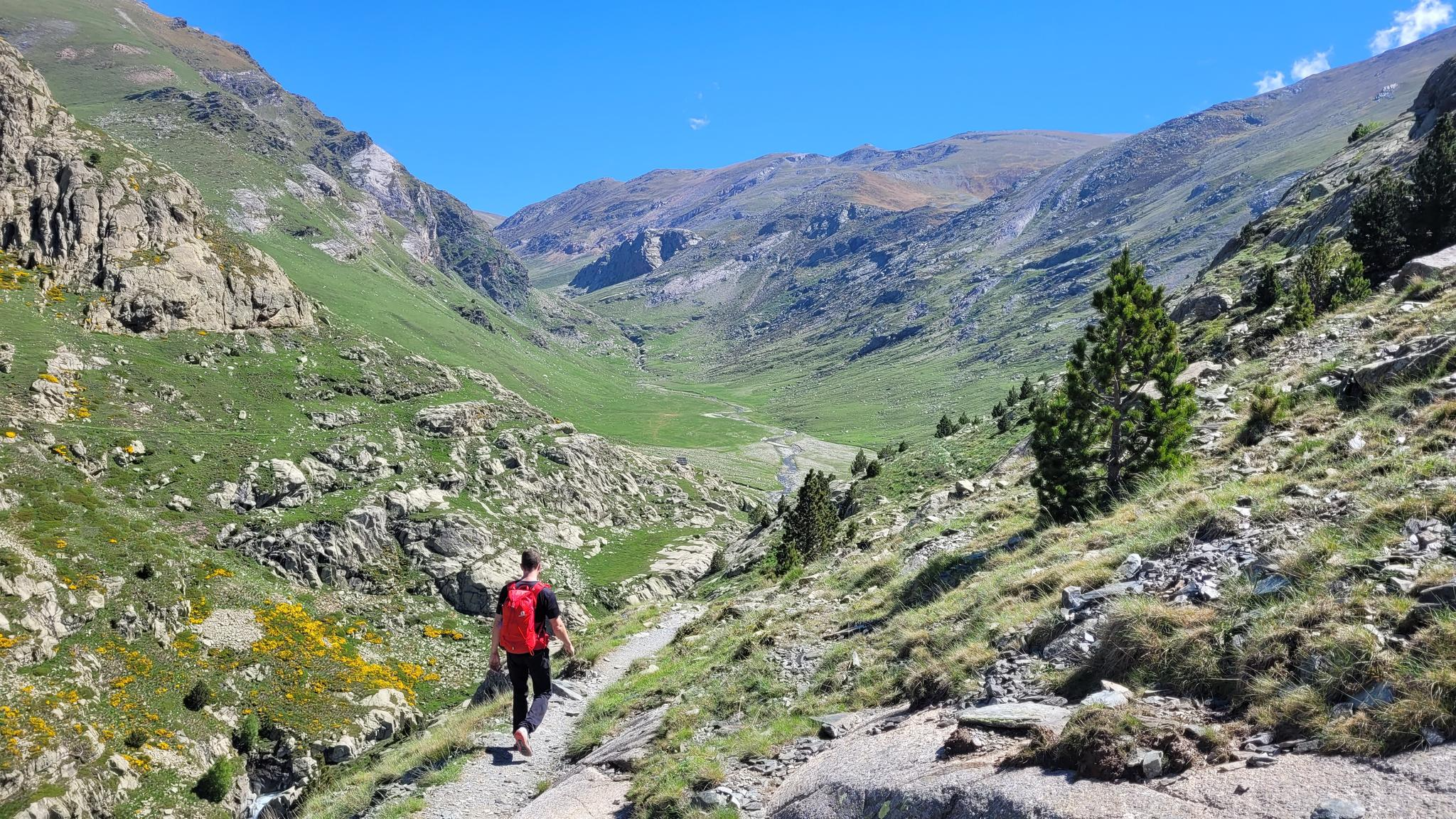
10 hikes with teenagers — Catalan paradises
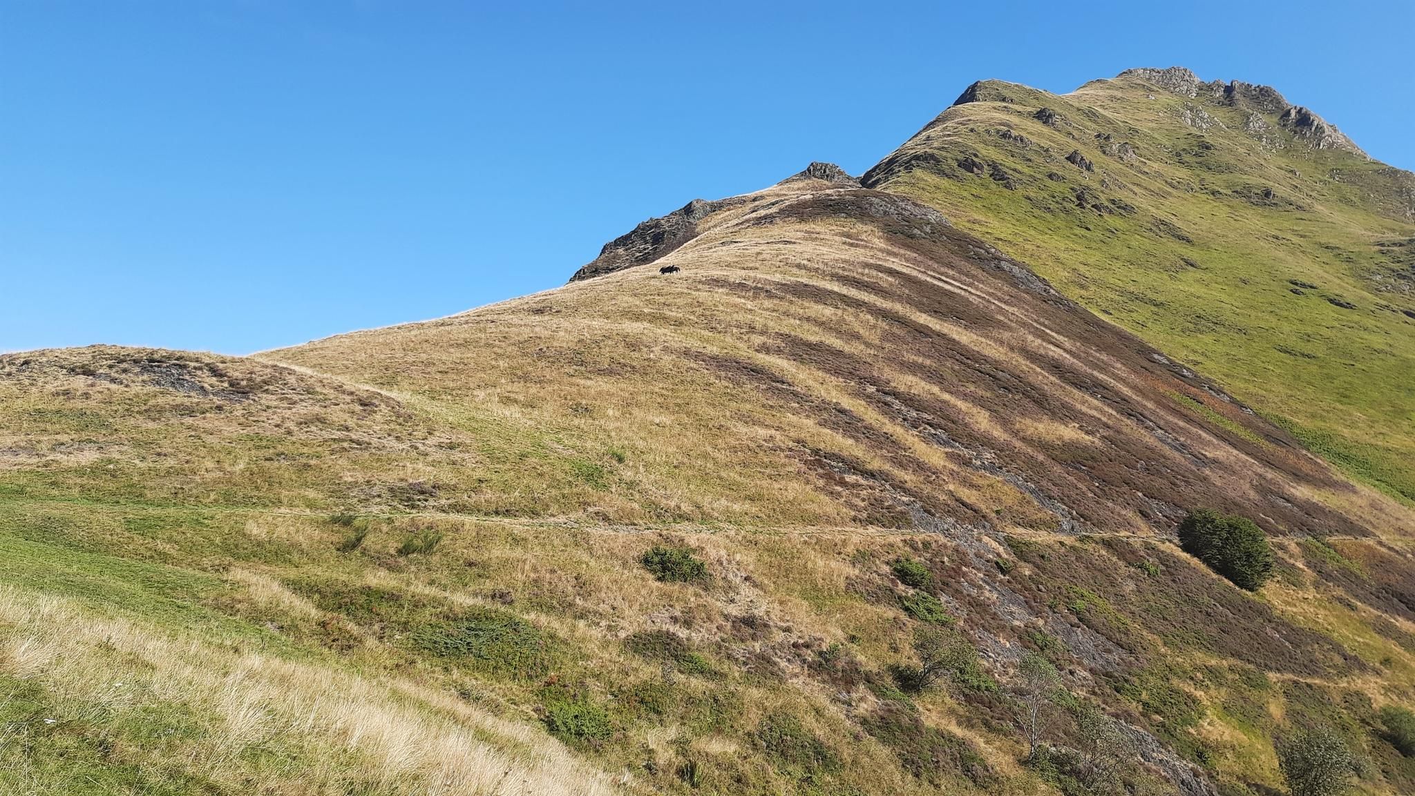
Tour of Mont Valier - The Giant of Ariège
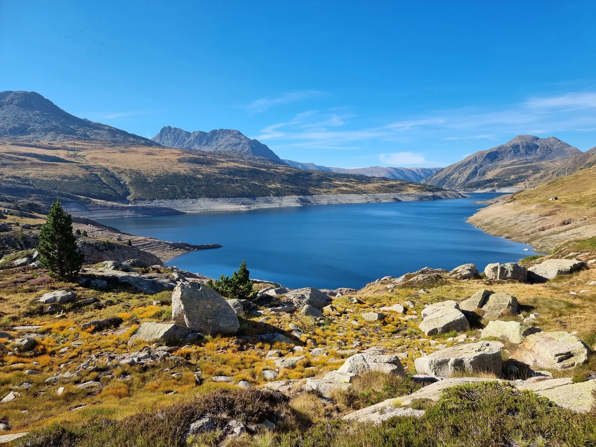
On wild ridges: Catalonia to Ariège – Hexatrek, Eastern Pyrenees
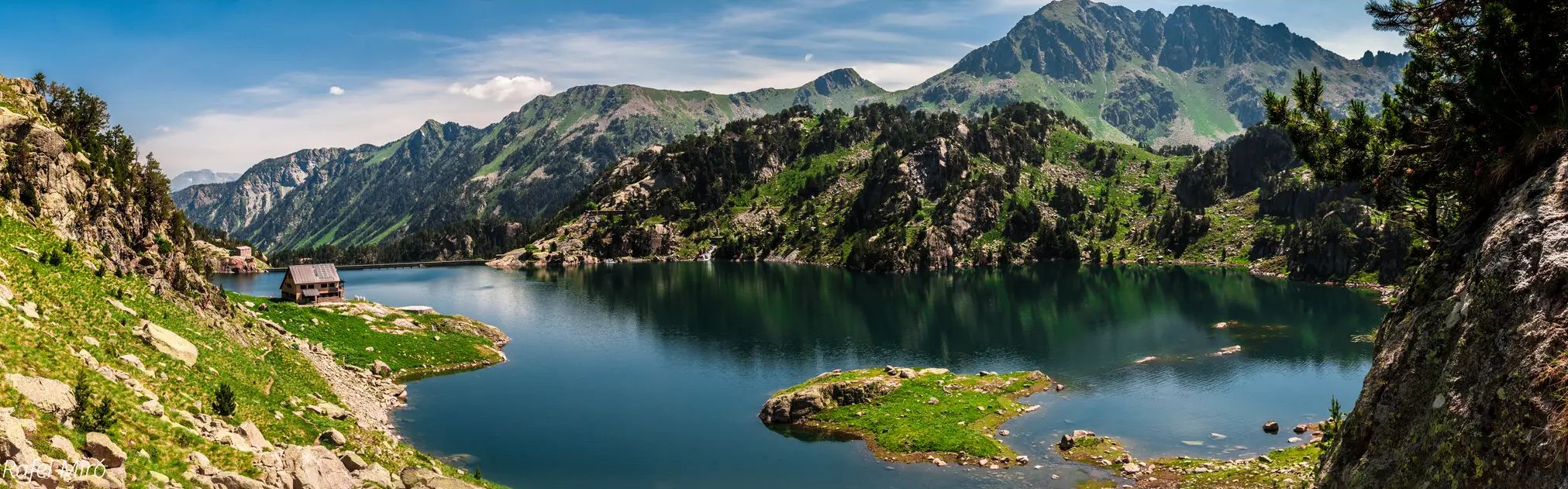
Aigüestortes lakes and mountain huts – Carros de Foc Plus
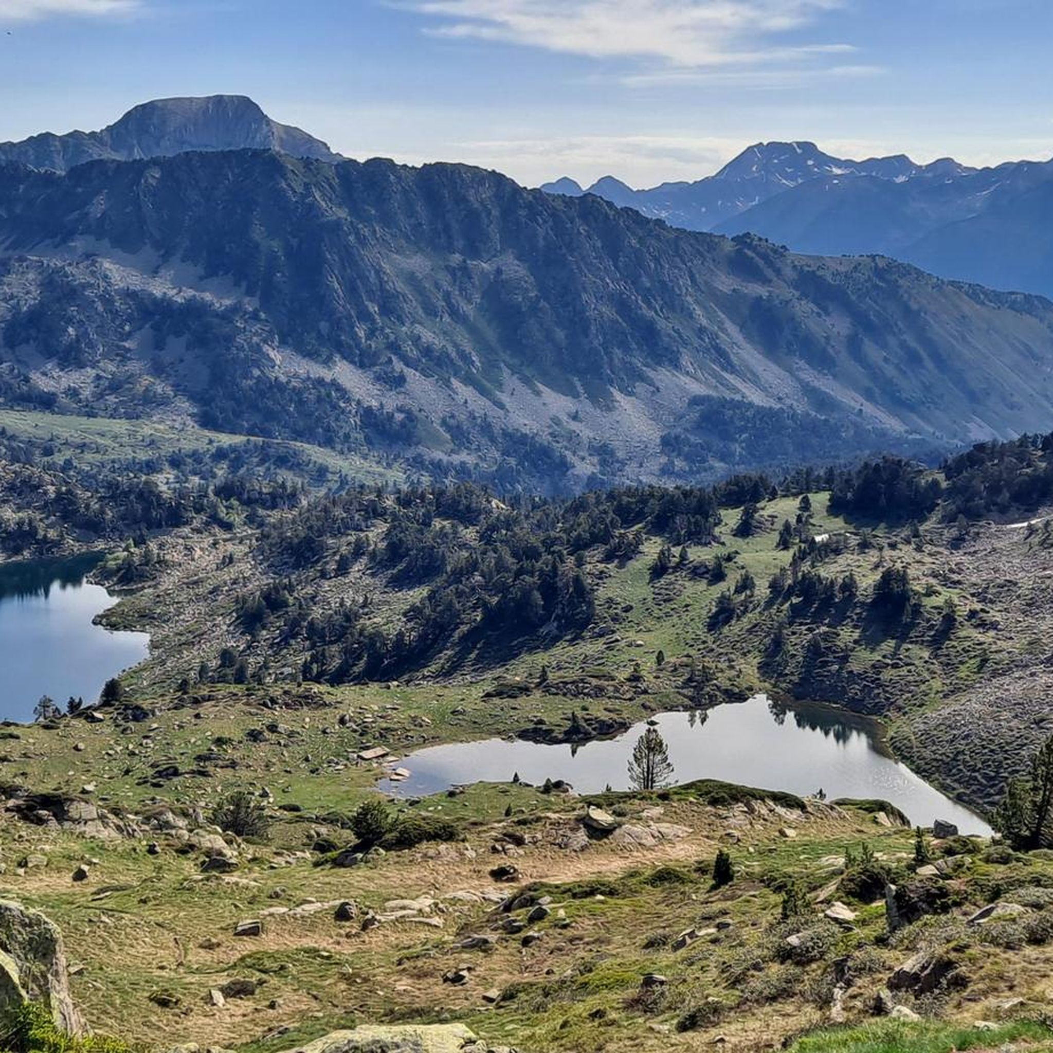
Hiking around Alt Àneu
MTB Trails around Alt Àneu
Road Cycling Routes around Alt Àneu

Cycling around Alt Àneu
Other adventures around Alt Àneu


Tips from the Community

The Saboredo refuge is a mountain refuge in the Pyrenees, at an altitude of 2310 m, in the Saboredo cirque, facing north, in the Valle de Arán region (province of Lérida, Spain). The refuge is located on a hill that separates the lakes of Baish (2240 m) and Deth Miei (2280 m), from the highest Saboredo Lake (2330 m), very close to the Agujas de Saboredo (2626 m), at the head of the Ruda valley, where the long-distance GR-211-4 route passes. It is part of the Carros de Foc route, a 55 km route that covers all the refuges found within the Aiguas Tortas and Lake San Mauricio National Park. On this route it is located between the Colomers refuge and the Amitges refuge. Both can be reached via the Ratera pass (2594 m).
1
0

Gerber Lake is the largest lake in the valley, enclosed by spectacular rock walls. If we want to enjoy a good view of the lake we must ascend a little along the path that goes up on its left side.
0
0

The Perosa bridge gives us an incredible view of the Alto Pyrenees natural park once we cross the La Noguera river. You won't forget that easily.
0
0

Beautiful picture that this natural environment of the Alt Pirineo Natural Park gives us when we cross the La Noguera river from the Perosa Bridge. From this point there are 3 itineraries that are indicated on the information panel that we will find next to the bridge.
0
0
Beautiful picture that this natural environment gives us, when crossing the La Noguera river from the Perosa Bridge From this point there are 3 itineraries that are indicated on the information panel that we will find next to the bridge.
1
0
We find one of the most popular waterfalls in the Aigüestortes National Park, the Cascada de Gerber or Salto de Comials and it is the highest in the national park. There are information panels that tell us the story and a viewpoint from where people want to take the famous photo. It can be accessed from the Gerber Refuge, by a nice walk under the trees of the Gerber forest or from a small parking lot that is closer. Quite busy during summer and spring weekends.
2
0
Small lake of Gerber, which we find in the homonymous valley. We can take the opportunity to stop and regain strength.
1
0
Lake of glacial origin at an altitude of 2,150 meters within the Aiguestortes National Park. The trail runs along its left band going up.
1
0
Frequently Asked Questions
What types of running routes can I find in Alt Àneu?
Alt Àneu offers a diverse range of running routes, from moderate paths to more challenging mountain runs. You'll find trails traversing dramatic alpine peaks, pristine glacial lakes, and dense forests within the Alt Pirineu Natural Park and near the Aigüestortes i Estany de Sant Maurici National Park. The region's extensive network of ancient paths and trails caters to various fitness levels.
Are there any running routes that feature waterfalls in Alt Àneu?
Yes, Alt Àneu boasts several scenic running routes that include waterfalls. For example, the Running Gerber Waterfall — Aigüestortes y Lago de San Mauricio National Park is a moderate 3.9-mile (6.2 km) path offering views of the impressive Gerber Waterfall. You can also find the Ratera Waterfall along other trails in the area.
Are there any circular running routes in Alt Àneu?
Yes, there are circular running routes available. A popular option is the Running Montgosso Circular Itinerary — Alto Pirineo Natural Park, a moderate 4.2-mile (6.8 km) trail that takes about 50 minutes to complete. Another option is the Running loop from Isil, which is 8.1 km long and also considered moderate.
What natural attractions can I see while running in Alt Àneu?
Runners in Alt Àneu can enjoy breathtaking natural attractions. Many routes lead past stunning high-mountain lakes of glacial origin, such as Lake Sant Maurici, Ratera Lake, and Lake Major of Colomers. You'll also encounter extensive forests of fir and pine, lush river valleys, and dramatic Pyrenean peaks.
Are there any challenging running trails for experienced runners in Alt Àneu?
Absolutely. Alt Àneu offers several challenging routes for experienced runners. One notable difficult trail is Running Lago de Gerber from la Peülla — Aigüestortes i Estany de Sant Maurici National Park, a 4.1-mile (6.6 km) route with significant elevation gain. Another demanding option is Running - Route through the Cabanes Valley, which is over 13 km long and features substantial elevation changes.
What do other runners say about the trails in Alt Àneu?
The running routes in Alt Àneu are highly regarded by the komoot community, with an average score of 4.6 stars from 5 reviews. Over 800 runners have used komoot to explore the varied terrain, often praising the stunning natural beauty, the diversity of landscapes, and the well-maintained trails that offer both serene forest runs and challenging mountain ascents.
Is it necessary to obtain permits for running in the national parks around Alt Àneu?
While general access for jogging on established trails in Alt Pirineu Natural Park is usually unrestricted, specific regulations may apply for certain areas or activities within Aigüestortes i Estany de Sant Maurici National Park, especially during peak seasons or for overnight stays. It's always advisable to check the official websites of both parks for the most current information regarding permits or access restrictions before your visit.
What is the best time of year for running in Alt Àneu?
The best time for running in Alt Àneu is generally from spring through autumn. During these seasons, the weather is milder, and the trails are more accessible. Spring brings vibrant colors, while autumn offers stunning foliage. While some lower-altitude paths might be runnable in winter, many higher-altitude trails will be covered in snow, making them suitable for snowshoeing or skiing rather than running.
Are there any family-friendly running routes in Alt Àneu?
Alt Àneu offers a range of trails, and while specific 'easy' routes for families are not explicitly highlighted in the guide data, the region's extensive network includes paths of varying difficulty. Many trails along lakeshores or through valleys are less strenuous and can be enjoyed by families. It's recommended to check the difficulty ratings and distances of individual routes on komoot to find the best fit for your family.
Can I bring my dog on the running trails in Alt Àneu?
Generally, dogs are permitted on many trails in the Alt Àneu region, especially within the Alt Pirineu Natural Park, often requiring them to be on a leash. However, regulations can be stricter within the Aigüestortes i Estany de Sant Maurici National Park, where access for dogs might be limited to certain areas or prohibited to protect wildlife. Always check specific park rules and local signage before heading out with your dog.
Where can I find parking for the running trails in Alt Àneu?
Parking facilities are typically available near trailheads, especially in and around the main villages like Esterri d'Àneu, Espot, and La Guingueta d'Àneu, which serve as gateways to the parks. For routes within the national parks, designated parking areas are usually provided at access points like La Peülla for Aigüestortes. It's advisable to research specific trailheads on komoot or local tourist information for precise parking locations.
Are there options for public transport to access running routes in Alt Àneu?
Public transport options in Alt Àneu are more limited compared to larger urban areas, but some services connect the main villages. During peak tourist seasons, shuttle services might operate to popular trailheads within the national parks, such as to the Aigüestortes i Estany de Sant Maurici National Park from Espot. For detailed and up-to-date information, it's best to consult local transport schedules or tourist information centers in the region.
Most popular routes around Alt Àneu
Most popular attractions around Alt Àneu

Get inspired with the komoot mobile app


Explore more
Browse the best Running Trails & Routes in other regions.
