The best road cycling routes around Das
4.4
(109)
9,956
riders
98
rides
Road cycling routes around Das are characterized by challenging mountain terrain and significant elevation gains. The region features high mountain passes and long climbs, offering extensive views across the landscape. Road cyclists can expect a network of routes that traverse varied topography, from valleys to elevated points. The area is defined by its demanding ascents and descents, making it suitable for experienced riders.
Best road cycling routes around Das
- The most popular road cycling route is Cerdanya - Lac des…
Last updated: October 4, 2026
5.0
(1)
105
riders
103km
05:16
1,640m
1,650m
Hard road ride. Very good fitness required. Some segments of this route may be unpaved and difficult to ride.
4.9
(7)
446
riders
73.5km
04:13
1,510m
1,510m
Hard road ride. Very good fitness required. Mostly well-paved surfaces and easy to ride.

5.0
(1)
550
riders
129km
06:48
2,390m
2,390m
Hard road ride. Very good fitness required. Some segments of this route may be unpaved and difficult to ride.
5.0
(1)
174
riders
42.7km
02:08
530m
530m
Moderate road ride. Good fitness required. Mostly well-paved surfaces and easy to ride.
4.5
(6)
516
riders
61.6km
03:36
1,380m
1,380m
Hard road ride. Very good fitness required. Mostly well-paved surfaces and easy to ride.
Get access to more routes and recommendations from other explorers.
Already have an account?
Our route recommendations are based on thousands of hikes, rides, and runs completed by other people on komoot.
Start today with a free account
Your next adventure awaits.
Other adventures around Das

Tips from the Community

Bugaedria d'autoservei, molt pràctica i bon preus. Bona ubicació per travesses al llarg del Pirineu
0
0

Located at an altitude of 1,960 meters, this refuge is a key point for cyclists and hikers heading towards the Tossa Plana de Lles or the Nordic ski slopes. The refuge combines a mountain atmosphere with comfortable amenities: a bar, a dining room, and a terrace with open views of the Cadí mountain range. It's a good place to stop, have a hot meal, or adjust your bike before continuing the climb. For mountain biking, the track from Lles has an uneven surface and rocky sections; tires with good grip are recommended, as is maintaining a constant cadence, especially on the final bends where the gradient is noticeable.
0
0

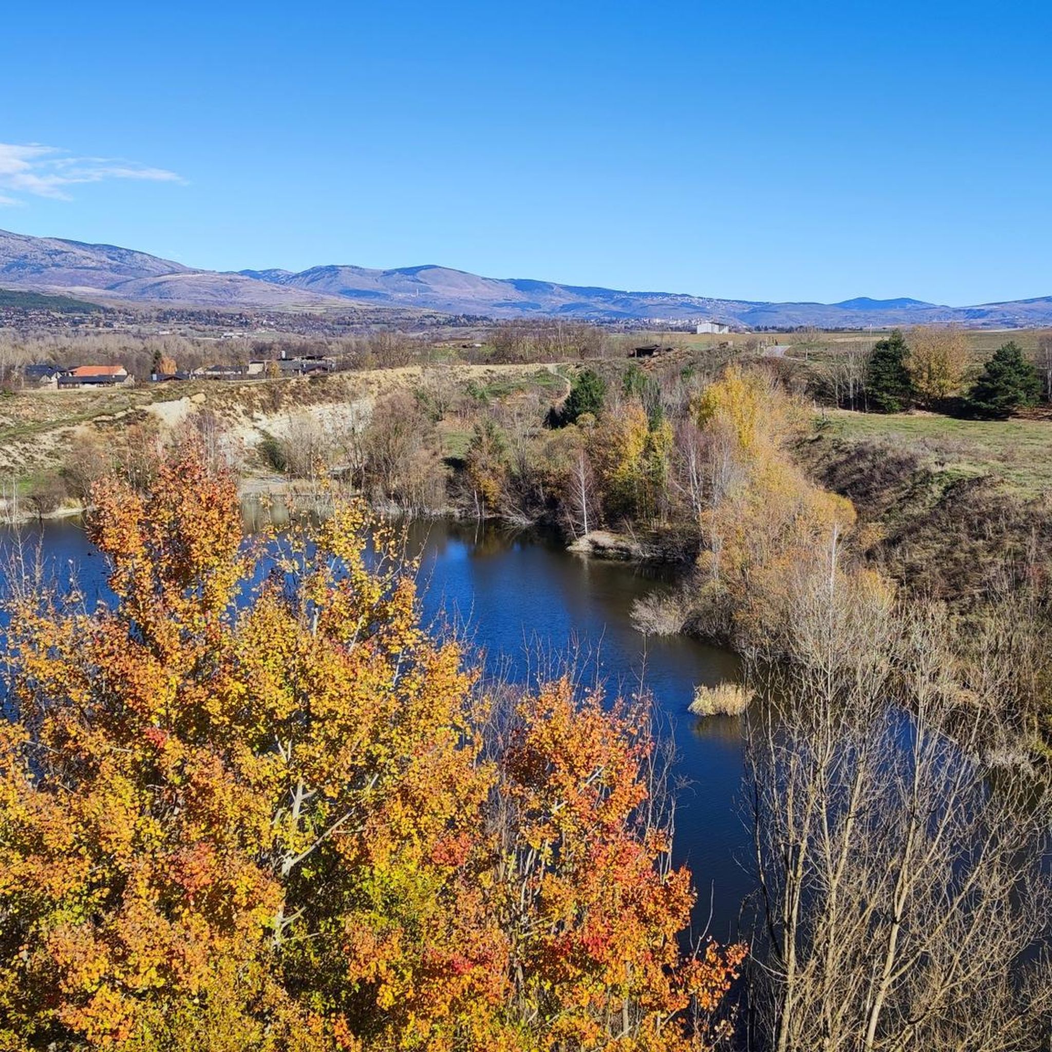
It's an ideal spot for a picnic. It's also an ideal place for groups of cyclists supported by vans, as there's plenty of space here to relax and not disturb anyone. The lake is at an elevated point, so accessing it from La Llagonne or Les Angles requires a steep climb, always at a lower gradient.
0
0
This is an old road leading up to the Puigmal ski resort from the village of Err. For many years, this road was abandoned until it was resurfaced in 2023. The result is a narrow, perfectly maintained road that takes us from Err to the Cotzé area, where the first remotes of the old ski resort are located, and where it connects with the main climb from St. Leocadie. This section is approximately 5 km at 8.5% uneven terrain, combining steep slopes with rest areas. It traces three beautiful hairpin bends, one of which offers wonderful panoramic views of the French Cerdanya.
0
0

Well, starting from Font Romeu and breaking legs from Mont Louis
0
0


superb natural location, beautiful path crossing a magnificent river, the Tét
0
0
Frequently Asked Questions
What kind of terrain can I expect when road cycling around Das?
Road cycling routes around Das are characterized by challenging mountain terrain and significant elevation gains. You will encounter high mountain passes and long climbs, offering extensive views across the landscape. The area is defined by demanding ascents and descents, making it suitable for experienced riders seeking a test of endurance.
How many road cycling routes are available around Das?
There are over 100 road cycling routes available around Das, offering a wide range of options for different preferences and skill levels.
Are there road cycling routes suitable for beginners in Das?
While Das is known for its challenging terrain, there are approximately 15 routes classified as easy. These routes offer a less strenuous introduction to road cycling in the region, though many routes still feature considerable elevation changes.
What are some of the most challenging road cycling routes in Das?
Das is renowned for its difficult routes. Some of the most challenging include the Cerdanya - Lac des Boulloses Loop, a 64.2-mile trail with substantial climbing, and the Pailhères Pass – Ax-les-Thermes loop from Urtx-Alp, a 98.4-mile route through high mountain passes.
Are there any long-distance road cycling routes in Das?
Yes, Das offers several long-distance road cycling routes. For example, the Pailhères Pass – Ax-les-Thermes loop from Urtx-Alp spans 98.4 miles (158.3 km) and typically takes around 9 hours 30 minutes to complete. Another significant route is the Cerdanya - Lac des Boulloses Loop, which is 64.2 miles (103.4 km) long.
Can I find routes with scenic viewpoints in Das?
Absolutely. The challenging ascents in Das often reward cyclists with panoramic views across the mountainous landscape. Routes traversing high mountain passes are particularly known for their expansive vistas.
Are there any natural attractions to see along the road cycling routes in Das?
Yes, the region around Das features several natural attractions. You might encounter highlights such as the Els Empedrats Waterfall and Gorge, the Waterfall of the Montmelús Stream, or various lakes like La Molina Lake and Estany de Puigcerdà. Many routes also pass by significant mountain passes like Pendís Pass.
Are there circular road cycling routes available in Das?
Yes, many road cycling routes in Das are designed as loops, allowing you to start and end at the same point. Examples include the Cerdanya - Lac des Boulloses Loop and the Cap del Rec Refuge – Mountain Road to Prullans loop from Urtx-Alp.
What do other cyclists say about road cycling in Das?
The road cycling routes in Das are highly rated by the komoot community, with an average score of 4.5 stars from over 90 reviews. More than 9,800 road cyclists have used komoot to explore Das's varied terrain, often praising the challenging climbs and panoramic views.
Are there any moderate road cycling routes in Das?
Yes, while many routes are difficult, Das also offers a good selection of moderate road cycling routes. There are approximately 56 moderate routes available, providing a balance of challenge and accessibility for riders who are not beginners but may not seek the most extreme climbs.
Can I find less crowded road cycling routes in Das?
While some popular routes can see more traffic, the extensive network of over 100 routes means it's possible to find quieter paths. Exploring some of the less-known moderate or difficult routes, or cycling during off-peak times, can help you discover more secluded experiences.
What is the elevation gain typically like on road cycling routes in Das?
Road cycling routes in Das are known for significant elevation gains. For instance, the Pailhères Pass – Ax-les-Thermes loop from Urtx-Alp features over 3,500 meters (11,500 feet) of ascent, and even a moderate route like Queixans Rural Path – Church of Sainte-Llocaia loop from Prats still includes over 500 meters (1,600 feet) of climbing.
Most popular attractions around Das

Get inspired with the komoot mobile app


Explore more
Browse the best Road cycling routes in other regions.
