The best walks and hikes around Cizur
4.3
(810)
4,359
hikers
15
hikes
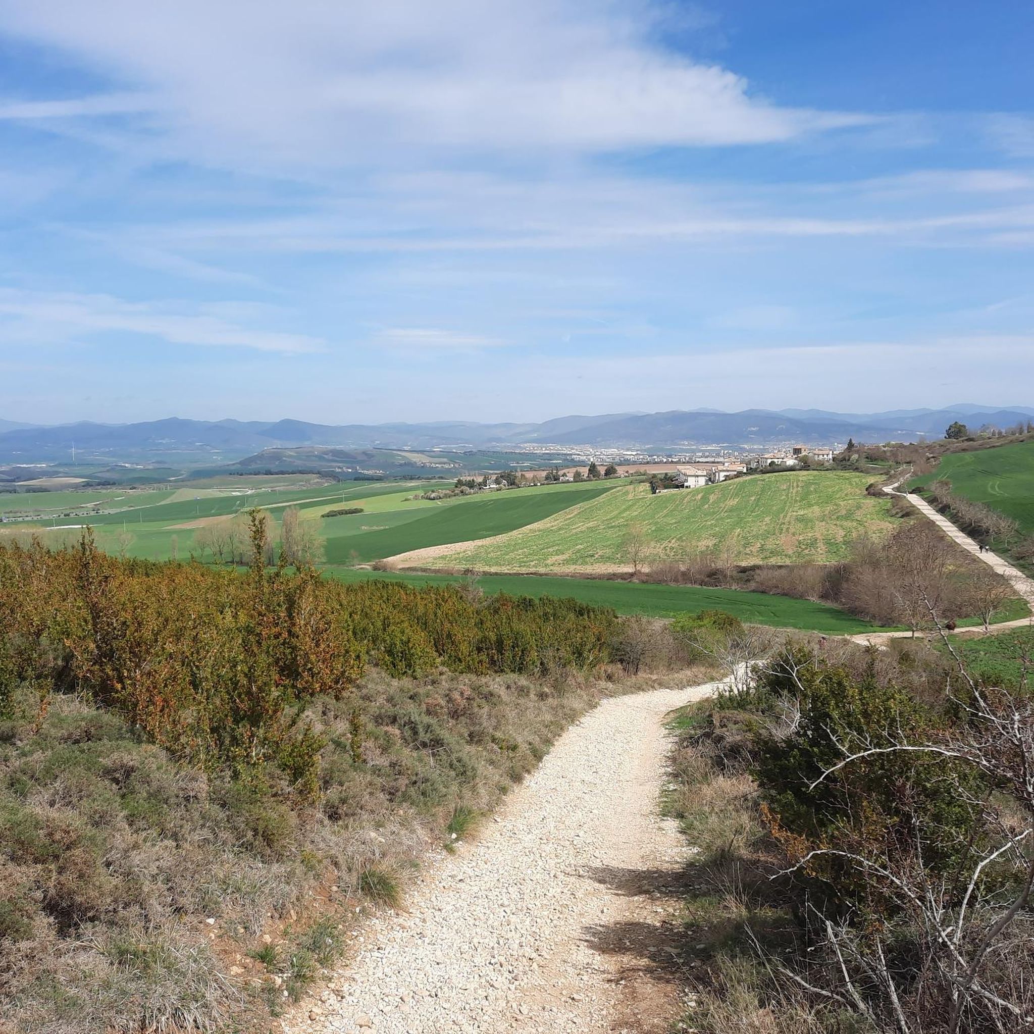
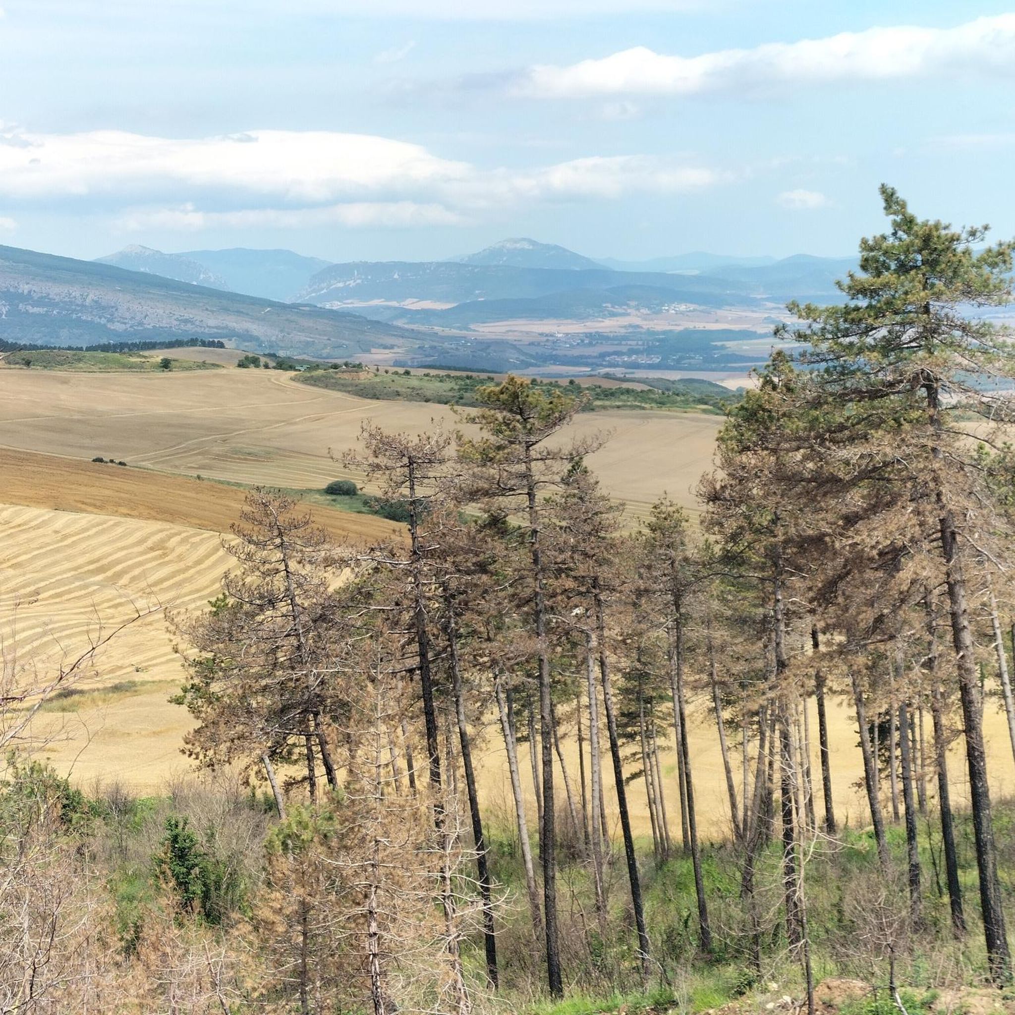
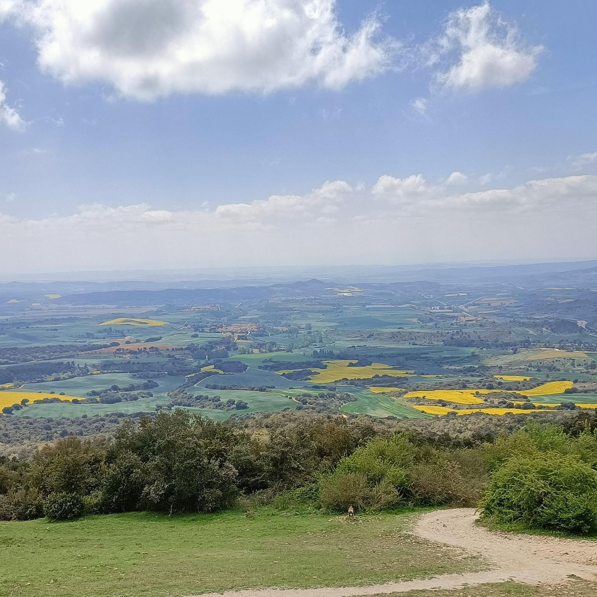
Hiking around Cizur offers diverse landscapes, situated southwest of Pamplona between the Arga and Elorz rivers, and near the mountains of Peña de Etxauri and the iconic Alto del Perdón. The region features varied terrain, from riverine environments with lush flora to mountainous horizons providing panoramic views. Its proximity to the Camino de Santiago also integrates historical trails into the natural setting, offering a blend of cultural and outdoor experiences.
Best hiking trails around Cizur
- The most popular hiking route…
Last updated: October 5, 2026
4.4
(29)
227
hikers
24.1km
06:49
520m
520m
Hard hike. Very good fitness required. Easily-accessible paths. Suitable for all skill levels.
4.9
(21)
172
hikers
Hard hike. Very good fitness required. Easily-accessible paths. Suitable for all skill levels.

4.4
(14)
114
hikers
Hard hike. Very good fitness required. Sure-footedness, sturdy shoes and alpine experience required.
5.0
(3)
37
hikers
15.4km
04:22
340m
340m
Moderate hike. Good fitness required. Easily-accessible paths. Suitable for all skill levels.
4.8
(4)
24
hikers
Moderate hike. Good fitness required. Easily-accessible paths. Suitable for all skill levels.
Get access to more routes and recommendations from other explorers.
Already have an account?
Our route recommendations are based on thousands of hikes, rides, and runs completed by other people on komoot.
Start today with a free account
Your next adventure awaits.
Tips from the Community

Rest area for pilgrims leaving Pamplona, in the town of Cendea de Galar. There are tables and benches, and a roof for shelter from the sun or rain. There is no water fountain.
0
0

The church of the Order of Malta. Looks like a knight's castle. Inside the church there are also several knight's flags. Nice view back to Pamplona
0
0

It is definitely worth visiting this place. You can see from here how impressively high the fortress walls were.
1
0


day route I recommend Faris at a good hour anchor 5 by Martina
0
0

Right now I'm sorry...it's a very top site...anyone here?
0
0

View of one of the entrances to the citadel of Pamplona
3
0
Frequently Asked Questions
How many hiking trails are available around Cizur?
Cizur offers a variety of hiking experiences with over 15 distinct trails. These routes cater to different skill levels, ranging from easy strolls to more challenging ascents.
What makes Cizur a good destination for hiking?
Cizur is an excellent hiking destination due to its diverse landscapes, including riverine environments along the Arga and Elorz rivers, and mountainous horizons near Peña de Etxauri and the iconic Alto del Perdón. The region also integrates historical trails, notably sections of the Camino de Santiago, offering a blend of natural beauty and cultural significance.
What is the best time of year to go hiking in Cizur?
The landscape around Cizur transforms beautifully with the seasons. Spring brings vibrant greens, summer offers golden yellows, autumn displays rich browns and ochres, and winter can present pristine whites. Each season provides a unique scenic backdrop, making Cizur enjoyable for hiking year-round, depending on your preference for weather and scenery.
What do other hikers say about the trails in Cizur?
The hiking routes in Cizur are highly rated by the komoot community, with an average score of 4.3 stars from over 700 reviews. Hikers often praise the varied terrain, the stunning panoramic views, and the historical elements found along the trails, especially those connected to the Camino de Santiago.
Are there easy hiking trails suitable for beginners in Cizur?
Yes, Cizur offers several easy hiking options. While the guide features 2 easy routes, many of the moderate trails also have sections suitable for those new to hiking or looking for a less strenuous experience. These paths often follow riverbanks or less elevated terrain.
Can I find challenging hikes with significant elevation gain around Cizur?
Absolutely. Cizur is home to 6 difficult hiking routes that feature substantial elevation gain. For example, the St. Andrew's Church – Alto del Perdón Memorial Cross loop from Astráin is a challenging 15.0-mile trail with over 500 meters of ascent, offering expansive views from Alto del Perdón.
Are there any circular hiking routes in Cizur?
Yes, many of the popular routes in Cizur are circular, allowing you to start and end at the same point. An example is the Alto del Perdón Memorial Cross – St. Andrew's Church loop from Cizur Menor, a 6.2-mile trail that leads through the foothills of Alto del Perdón.
What natural features can I expect to see on hikes around Cizur?
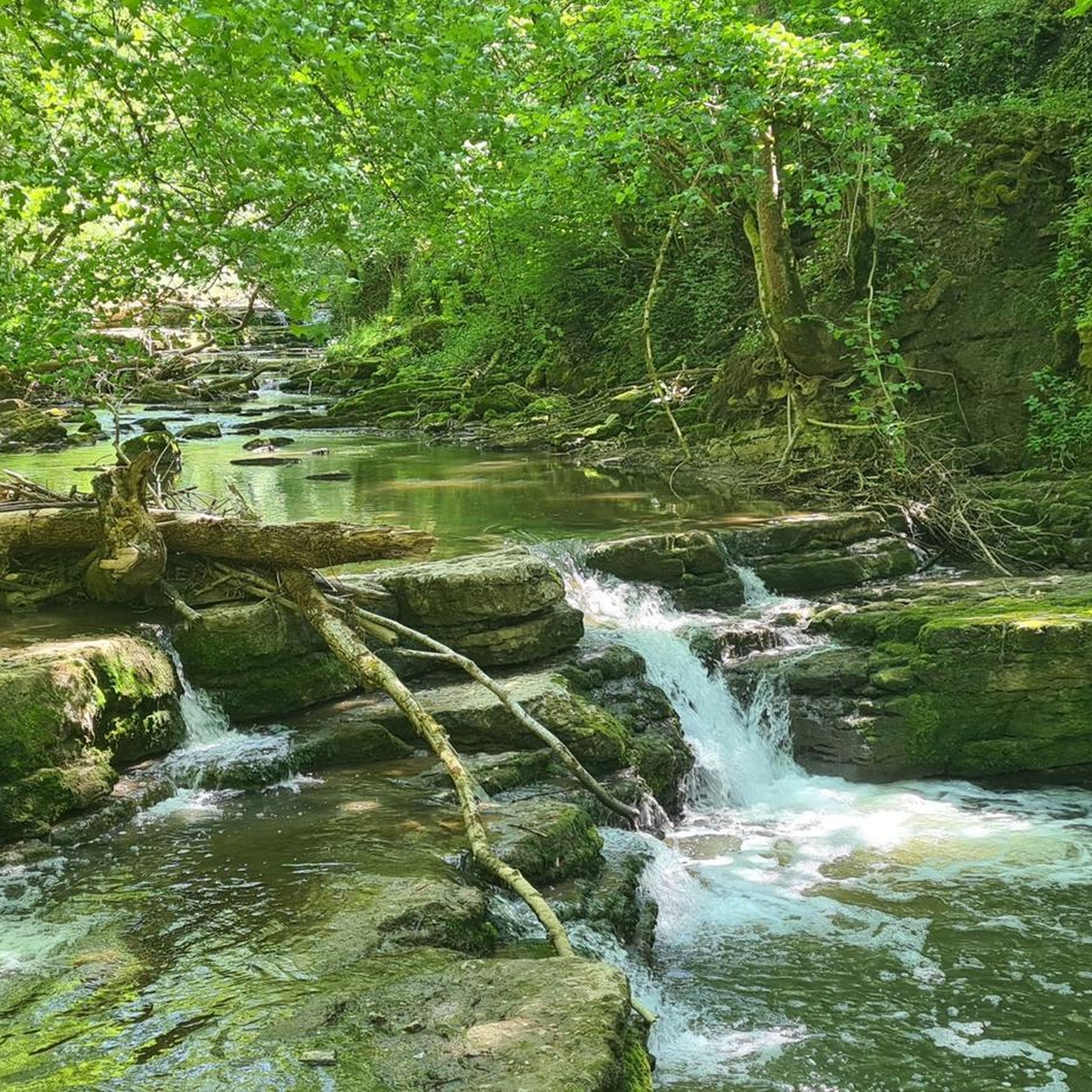
Hikers in Cizur can expect to encounter diverse natural features. The region is characterized by its proximity to the Arga and Elorz rivers, offering lush riverine environments with ash, willow, and alder trees. You'll also experience rolling hills and views towards the mountains of Peña de Etxauri and the Alto del Perdón, providing varied terrain and scenic beauty.
What historical landmarks or points of interest can I visit while hiking in Cizur?
Cizur's hiking trails are rich with historical landmarks, particularly due to its connection to the Camino de Santiago. You can visit the iconic Pilgrim Monument at Alto del Perdón, a steel sculpture depicting pilgrims. Other notable sites include the Puente la Reina Romanesque Bridge and the Pamplona Cathedral and the Citadel, which can be incorporated into longer routes.
Are there trails that offer panoramic viewpoints?
Yes, the region is renowned for its panoramic viewpoints. The View from Alto del Perdón (770m altitude) offers exceptional vistas, allowing hikers to see the province of Pamplona and the Pyrenean mountains to the north, and vast cereal fields to the south. Many trails ascend to or pass by this significant landmark.
Are the hiking trails around Cizur suitable for families?
Yes, Cizur offers family-friendly hiking options. While some routes are challenging, there are easier paths, particularly those along the Arga River Park, that are suitable for families with children. These trails often have less elevation gain and provide opportunities for leisurely walks amidst nature.
Are there dog-friendly hiking options in Cizur?
Many of the natural trails and paths around Cizur are suitable for hiking with dogs. It's always recommended to keep dogs on a leash, especially in agricultural areas or near livestock, and to check local regulations for specific trails or protected areas. The varied terrain offers plenty of space for dogs to enjoy the outdoors.
How does the Camino de Santiago influence hiking in Cizur?
Cizur Menor is an integral part of the historic French Way of the Camino de Santiago. This means many hiking trails in the area are steeped in history and spirituality, allowing hikers to experience sections of this ancient pilgrimage route. You'll encounter Romanesque architecture, medieval fountains, and a strong sense of cultural heritage along these paths, such as the St. Andrew's Church – Puente la Reina Bridge loop from Uterga.
Most popular attractions around Cizur

Get inspired with the komoot mobile app


Explore more
Browse the best Hikes in other regions.
