The best walks and hikes around Armiñón
4.2
(294)
1,749
hikers
182
hikes
Hiking trails around Armiñón traverse a diverse landscape in the province of Álava, Spain, characterized by varied topography suitable for different fitness levels. The region features a mix of natural beauty and historical elements, including proximity to the Zadorra River and its Roman bridge. Trails often lead through areas with significant elevation changes, offering views of the surrounding countryside. Armiñón serves as a base for exploring natural parks like Valderejo and Urkiola, which contribute to the area's natural appeal.
Best…
Last updated: September 26, 2026
4
hikers
10.5km
03:31
460m
460m
Moderate hike. Good fitness required. Mostly accessible paths. Sure-footedness required.
5
hikers
11.6km
03:21
310m
310m
Moderate hike. Good fitness required. Mostly accessible paths. Sure-footedness required.

4.2
(5)
35
hikers
Moderate hike. Good fitness required. Easily-accessible paths. Suitable for all skill levels.
5.0
(1)
9
hikers
5.31km
01:36
180m
180m
Easy hike. Great for any fitness level. Easily-accessible paths. Suitable for all skill levels.
3.0
(1)
4
hikers
12.1km
03:27
290m
290m
Moderate hike. Good fitness required. Easily-accessible paths. Suitable for all skill levels.
Get access to more routes and recommendations from other explorers.
Already have an account?
Our route recommendations are based on thousands of hikes, rides, and runs completed by other people on komoot.
Start today with a free account
Your next adventure awaits.

Tips from the Community

Recently restored, its tower is now accessible. A wonderful place with stunning views.
1
0
It's a pleasure to stroll through what used to be its old streets.
1
0
Right in the city center.
3
0
Curious architecture and color.
2
0
Frequently Asked Questions
What types of hiking trails can I find around Armiñón?
Armiñón offers a diverse range of hiking trails suitable for various fitness levels. You'll find everything from easy walks with minimal elevation gain to more challenging routes that can take over five hours and involve significant ascents and descents. Overall, there are over 180 hiking routes in the area, with 45 easy, 112 moderate, and 23 difficult options.
Are there any circular hiking routes in Armiñón?
Yes, Armiñón features several excellent circular hiking routes. A popular choice is the San Formerio Hermitage and Peña Palacios Loop, which is a moderate 7.2-mile (11.6 km) path combining historical sites with panoramic views. Another option is the Monte Cruz de Motrico — circular desde Ircio, a 6.0-mile (9.6 km) trail.
What historical landmarks can I see on the San Formerio Hermitage and Peña Palacios Loop?
The San Formerio Hermitage and Peña Palacios Loop offers a blend of natural beauty and historical intrigue. While the specific landmarks directly on this loop are not detailed, the region is rich in history. Armiñón itself has a Roman bridge over the Zadorra River and the 13th-century Armiñón Castle. Hikers often encounter historical elements throughout the area.
When is the best time of year to go hiking in Armiñón?
The region around Armiñón, being in Álava, Spain, generally offers pleasant hiking conditions during spring (April-June) and autumn (September-November) when temperatures are milder. Summer can be warm, but early mornings or late afternoons are still suitable. Winter hiking is possible, but some higher elevation routes might require more preparation due to colder weather.
Are there any family-friendly hiking trails suitable for children in Armiñón?
Yes, Armiñón offers easy walks that are suitable for families with children. While specific 'family-friendly' routes are not explicitly named, the area has 45 easy trails that typically involve minimal elevation gain and shorter distances, making them ideal for a leisurely family outing. These routes allow families to enjoy the natural beauty without excessive challenge.
Can I bring my dog on the hiking trails around Armiñón?
Many hiking trails in natural areas across Spain are dog-friendly, especially if dogs are kept on a leash. While specific regulations for Armiñón are not provided, it's generally advisable to keep your dog under control, especially when passing through agricultural areas or near wildlife. Always carry water for your pet and clean up after them.
What can I see along the hiking trails in Armiñón?
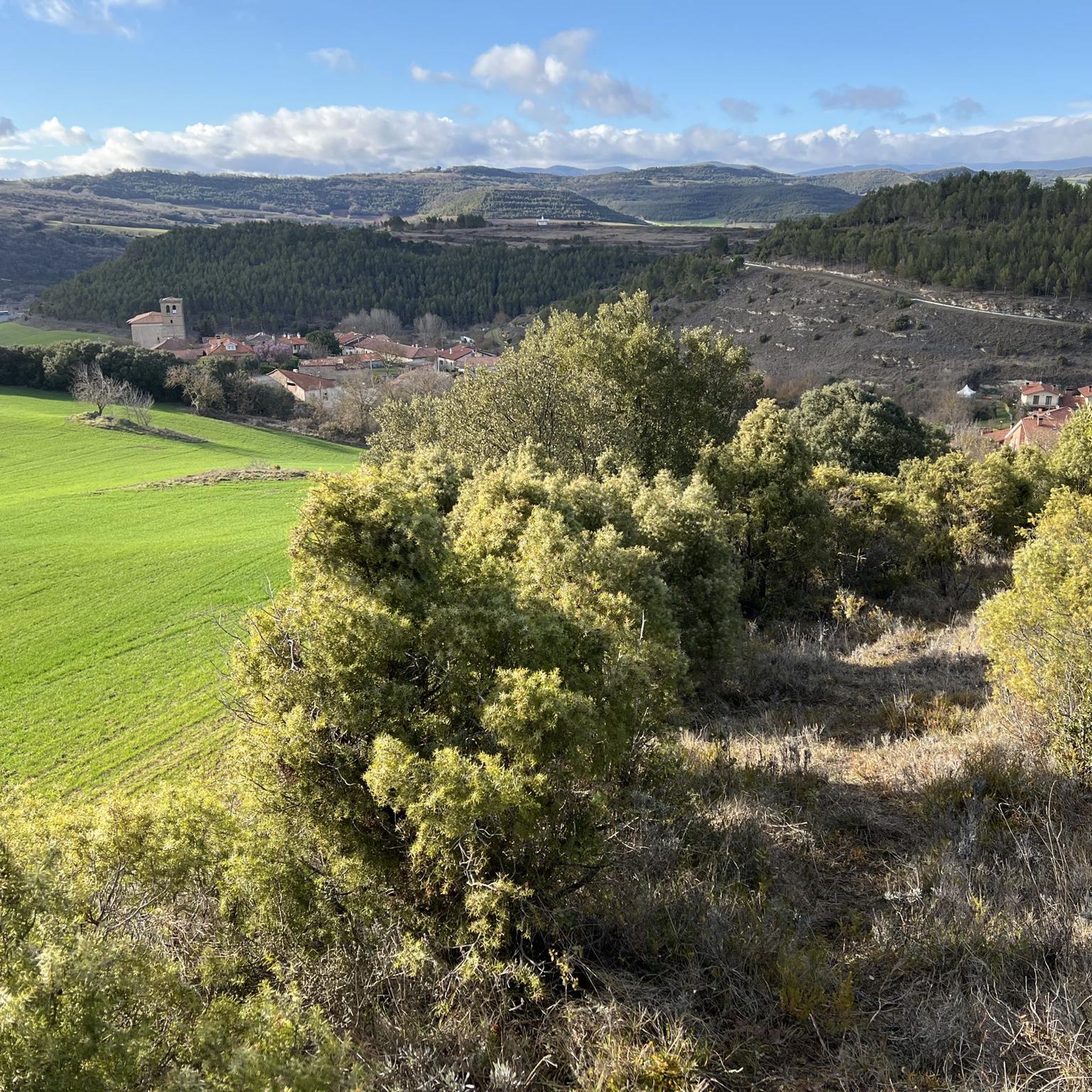
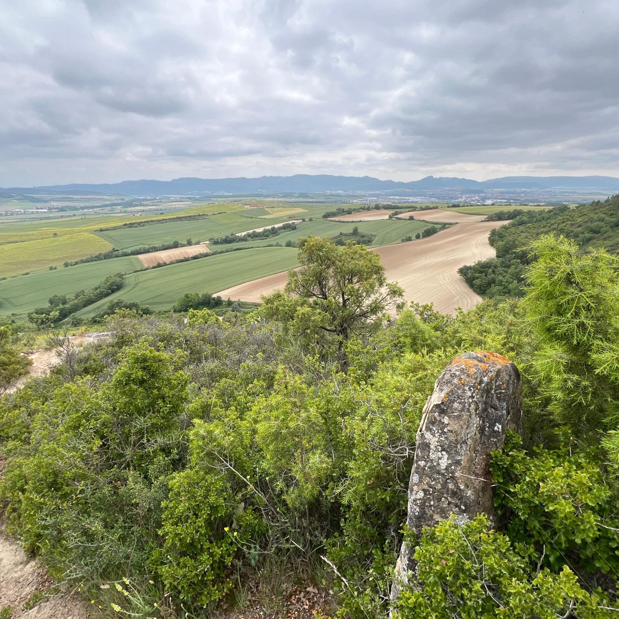
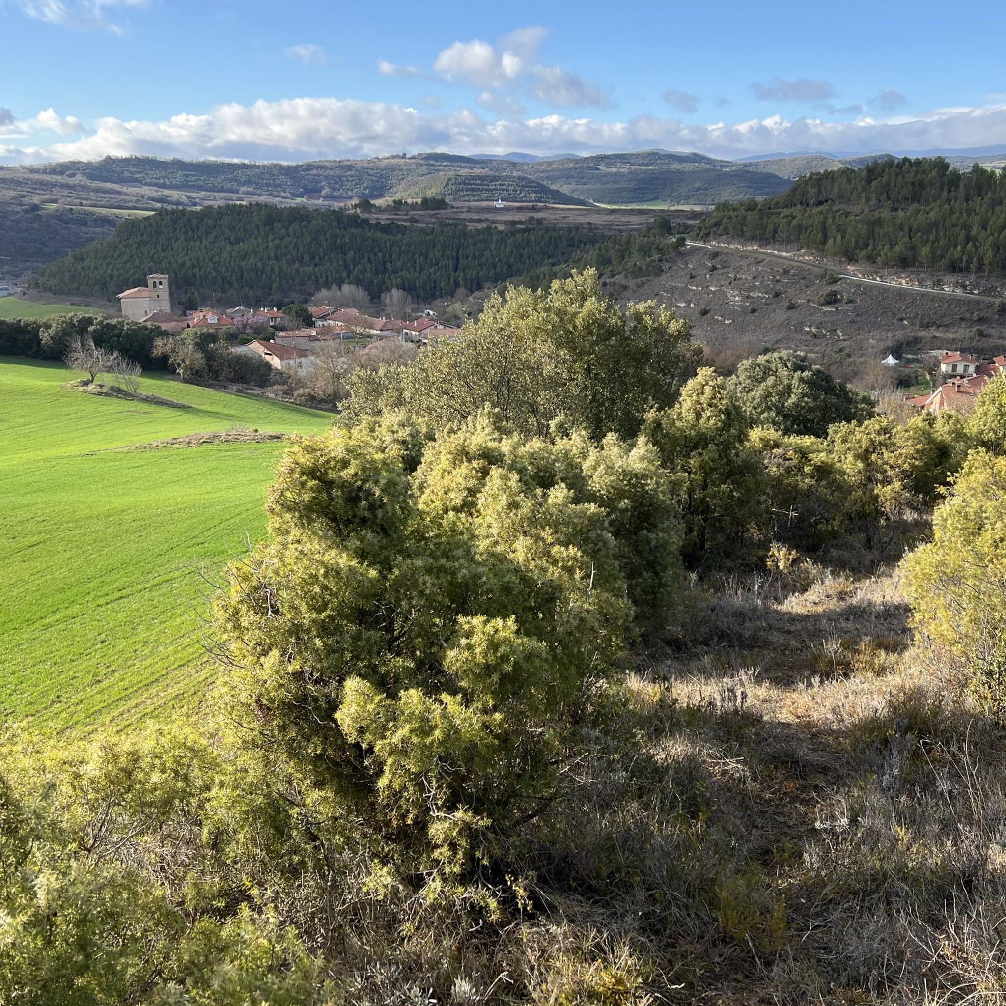
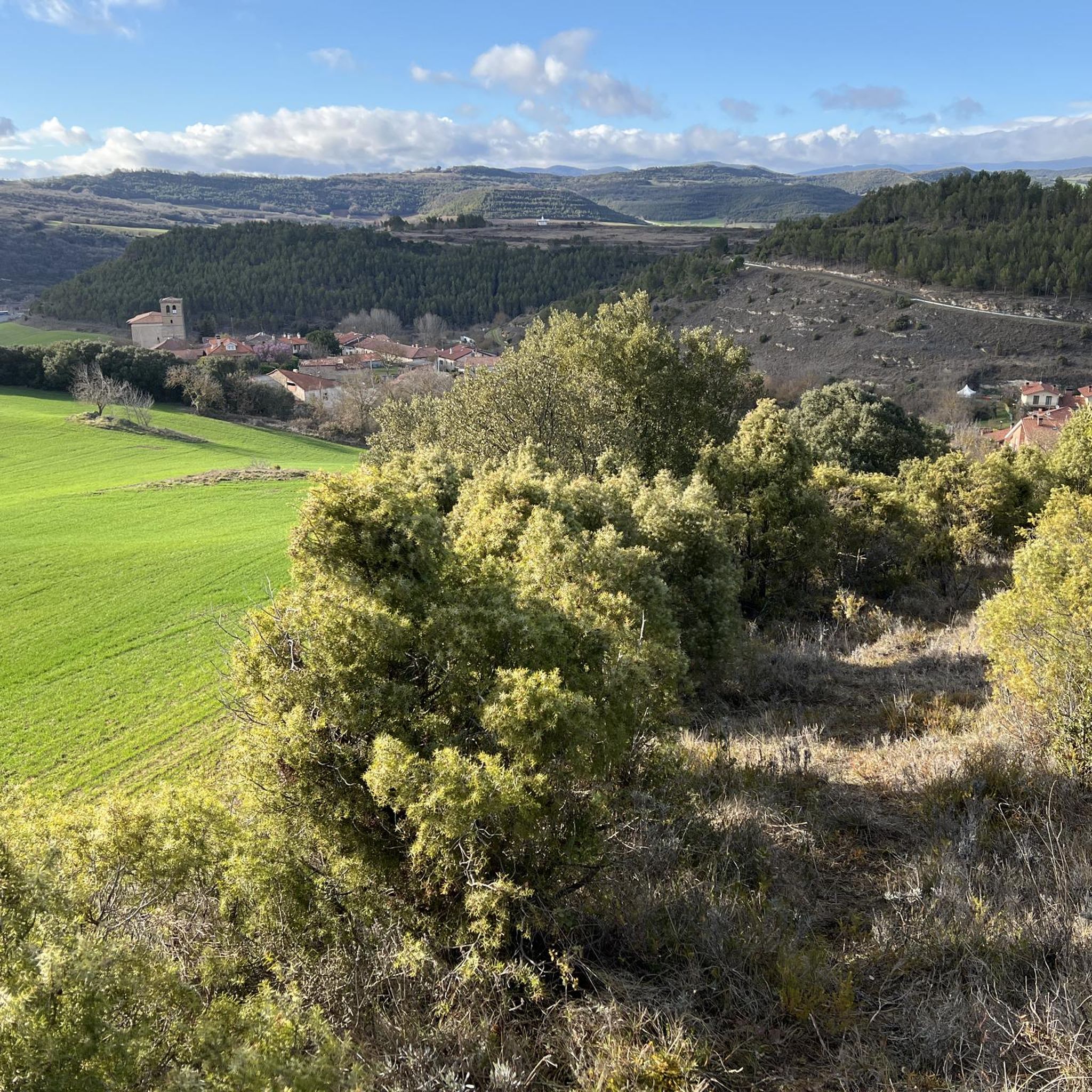
Hiking trails around Armiñón offer a mix of natural landscapes and historical points of interest. You can explore diverse topography, from river valleys to hillsides. Notable attractions include the Portilla Castle, various viewpoints like Cruz de Motrico and Balcón de Castilla, and the charming Berganzo Village. The area also features the Carlos III Bridge, a Roman bridge over the Zadorra River.
Is there parking available at the trailheads around Armiñón?
While specific parking details for every trailhead are not listed, Armiñón is a rural area, and parking is generally available near popular starting points for hikes, especially in or near the village itself. For more remote trailheads, roadside parking might be an option. It's always recommended to check specific route details on komoot for parking suggestions.
How can I reach the hiking trails around Armiñón using public transport?
Armiñón is a rural village, and public transport options might be limited compared to larger cities. While direct public transport to every trailhead may not be available, you might find bus services connecting Armiñón to nearby towns. For routes starting further afield, like the Miranda de Ebro Train Station – Antonio Machado Park loop, public transport to Miranda de Ebro would be a viable option.
What do other hikers enjoy the most about hiking in Armiñón?
The hiking experience in Armiñón is highly rated by the komoot community, with an average score of 4.3 stars from over 260 reviews. Hikers often praise the diverse topography, the blend of natural beauty with historical landmarks, and the variety of routes suitable for different ability levels. The proximity to natural parks like Valderejo and Urkiola also adds to the appeal.
Are there any natural parks near Armiñón that I can explore?
Yes, Armiñón serves as an excellent base for exploring several stunning natural protected areas.
Valderejo Natural Park, less than 50 kilometers away, offers impressive landscapes of mountains, forests, and meadows. Urkiola Natural Park, also nearby, provides further opportunities for nature exploration. Additionally, Armañón Natural Park, though a bit further west, is known for its mountainous terrain and over 200 subterranean caves, including the unique Pozalagua Cave.
What is the difficulty level of the Txulato, Peña Infinito y Castillo de Portilla hike?
The Txulato, Peña Infinito y Castillo de Portilla — Southern Sierras of Álava is classified as a moderate hike. It covers approximately 6.5 miles (10.5 km) and typically takes around 3 hours and 30 minutes to complete. The route involves varied terrain and includes historical points of interest, with an elevation gain of about 461 meters.
Most popular attractions around Armiñón

Get inspired with the komoot mobile app


Explore more
Browse the best Hikes in other regions.
