The best road cycling routes around Thann-Gebweiler
4.5
(824)
28,289
riders
422
rides
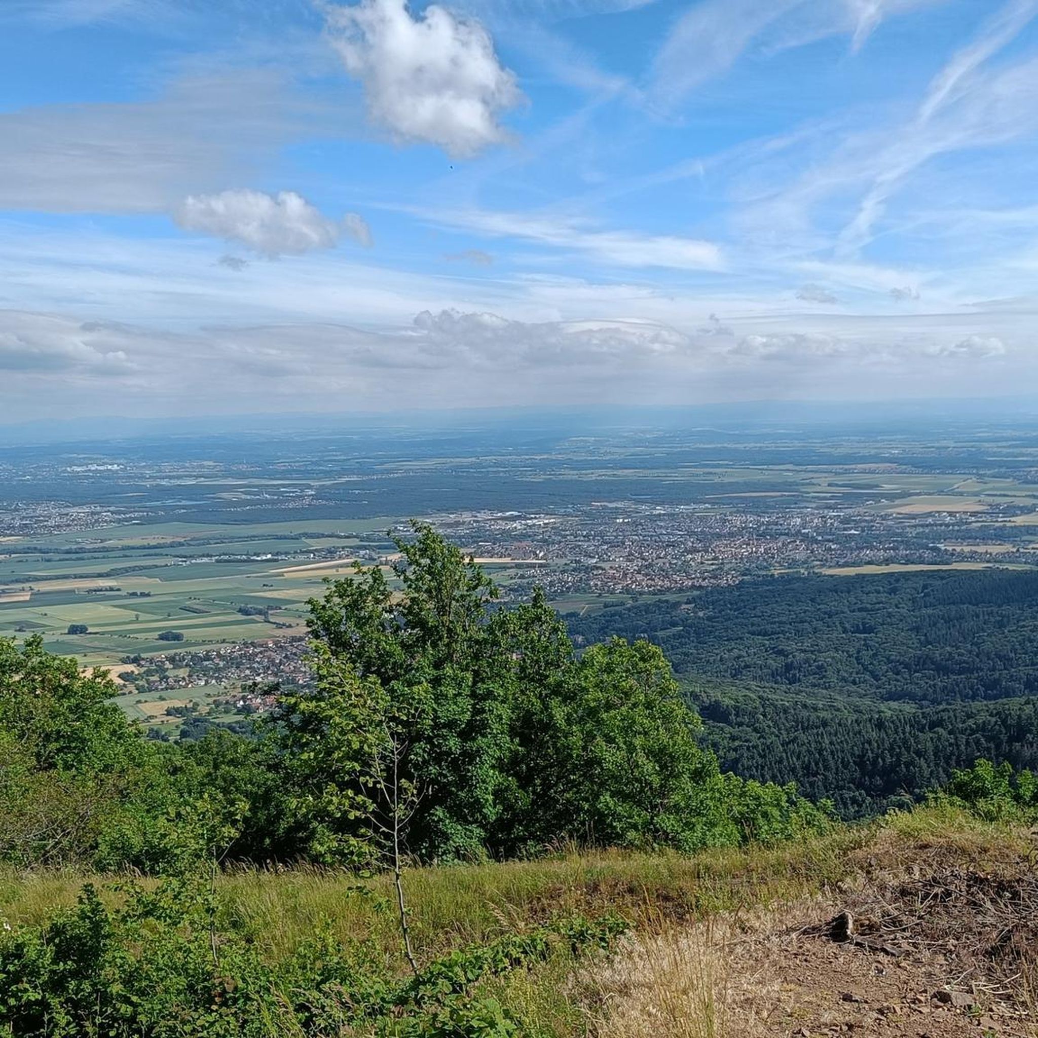
Road cycling routes around Thann-Gebweiler are defined by the varied terrain of the Vosges Mountains, offering both challenging ascents and leisurely rides. The region features significant peaks like the Grand Ballon, extensive vineyards, and tranquil lakes such as Lake Kruth-Wildenstein and Lac d'Alfeld. Dense forests and rolling hills create a diverse environment for road cyclists.
Best road cycling routes around Thann-Gebweiler
- The most popular road cycling route is Le Grand Ballon — loop from Thann, a 46.5 miles (74.8 km) trail that takes 4 hours 20 minutes to complete. This difficult route features a significant ascent to the Grand Ballon, the highest peak in the Vosges.
- Another top favourite among local road cyclists is Ballon d'Alsace and Hundsruck Pass Loop, a difficult 49.1 miles (79.0 km) path. This route navigates through mountain passes, offering views of the Vosges landscape.
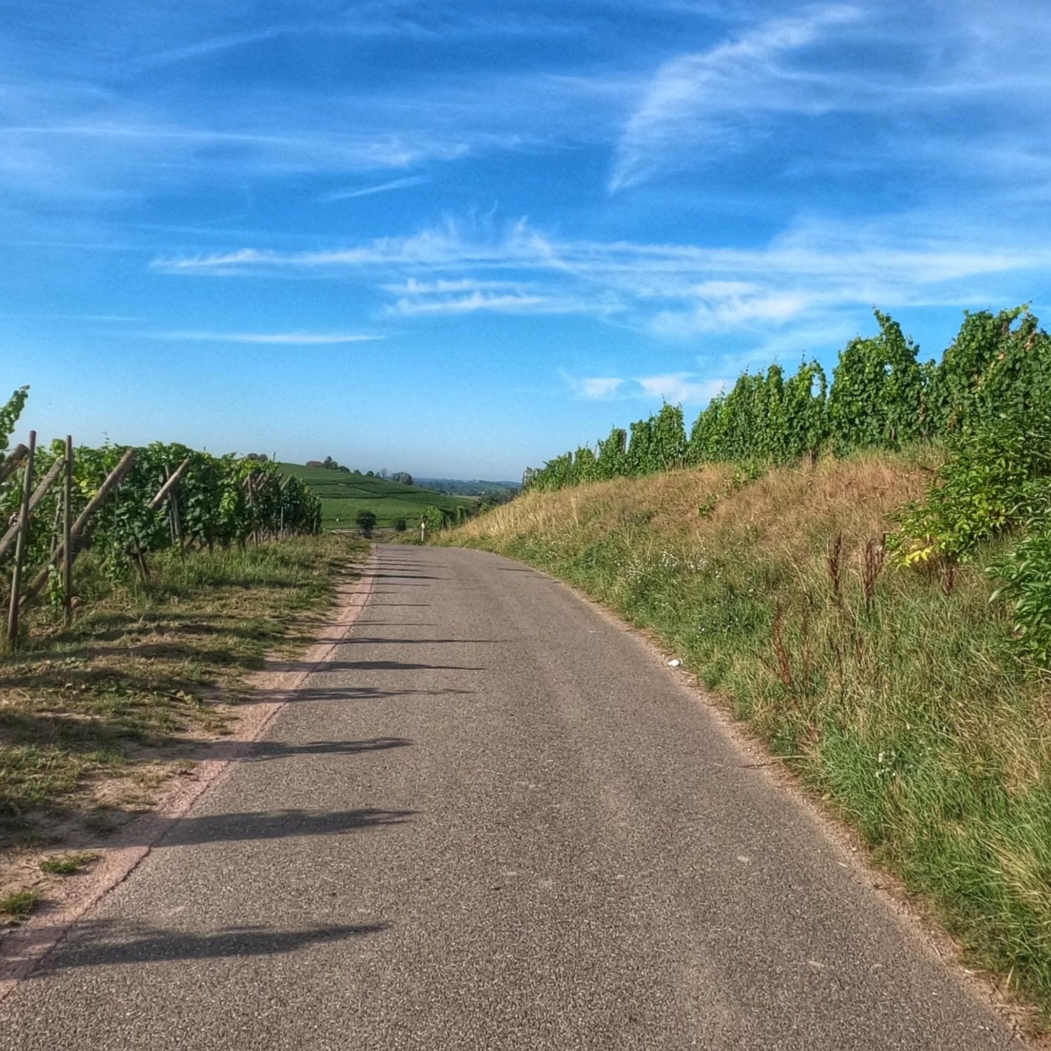
- Local road cyclists also love the Alsace Vineyard and Michelbach Lake Loop, a 25.1 miles (40.4 km) trail leading through vineyards and past Lake Michelbach, often completed in about 1 hour 41 minutes.
- Road cycling around Thann-Gebweiler is defined by the Vosges Mountains, extensive vineyards, and tranquil lakes. The network offers options for various ability levels, from easy road bike loops to advanced mountain ascents.
- The routes in Thann-Gebweiler are highly rated by the komoot community with an average score of 4.5 stars from more than 800 reviews. More than 29,000 road cyclists have used komoot to explore Thann-Gebweiler's varied terrain.
Last updated: May 10, 2026
4.8
(36)
1,232
riders
74.8km
04:20
1,550m
1,550m
Hard road ride. Very good fitness required. Mostly well-paved surfaces and easy to ride.
4.9
(17)
807
riders
79.0km
04:27
1,690m
1,690m
Hard road ride. Very good fitness required. Mostly well-paved surfaces and easy to ride.

Sign up for free
3.7
(6)
113
riders
40.4km
01:41
200m
200m
Easy road ride. Great for any fitness level. Mostly well-paved surfaces and easy to ride.
4.8
(8)
1,539
riders
122km
07:06
3,020m
3,020m
Hard road ride. Very good fitness required. Some segments of this route may be unpaved and difficult to ride.
4.8
(39)
1,250
riders
86.9km
04:41
1,530m
1,530m
Hard road ride. Very good fitness required. Some segments of this route may be unpaved and difficult to ride.
4.5
(22)
950
riders
87.4km
04:36
1,580m
1,580m
Hard road ride. Very good fitness required. Some segments of this route may be unpaved and difficult to ride.
4.8
(5)
774
riders
122km
07:00
2,650m
2,650m
Hard road ride. Very good fitness required. Some segments of this route may be unpaved and difficult to ride.
5.0
(6)
654
riders
125km
07:05
2,760m
2,760m
Hard road ride. Very good fitness required. Some segments of this route may be unpaved and difficult to ride.
4.6
(8)
800
riders
118km
06:52
2,760m
2,760m
Hard road ride. Very good fitness required. Mostly well-paved surfaces and easy to ride.
4.9
(36)
659
riders
67.8km
03:57
1,690m
1,690m
Hard road ride. Very good fitness required. Mostly well-paved surfaces and easy to ride.
Get access to more routes and recommendations from other explorers.
Sign up for free
Already have an account?
Our route recommendations are based on thousands of hikes, rides, and runs completed by other people on komoot.
Start today with a free account
Your next adventure awaits.
Login or Signup
Popular around Thann-Gebweiler
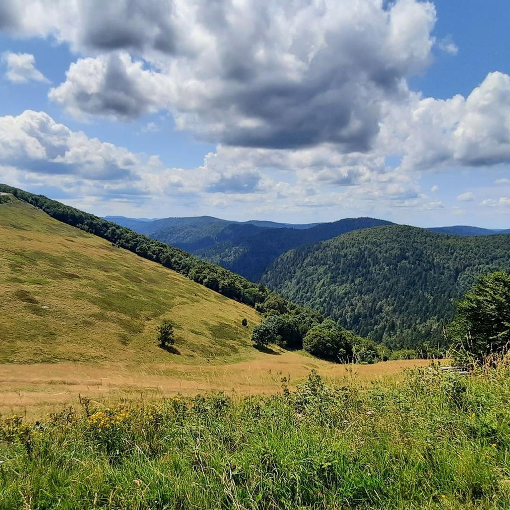
Road Cycling Routes around Wildenstein
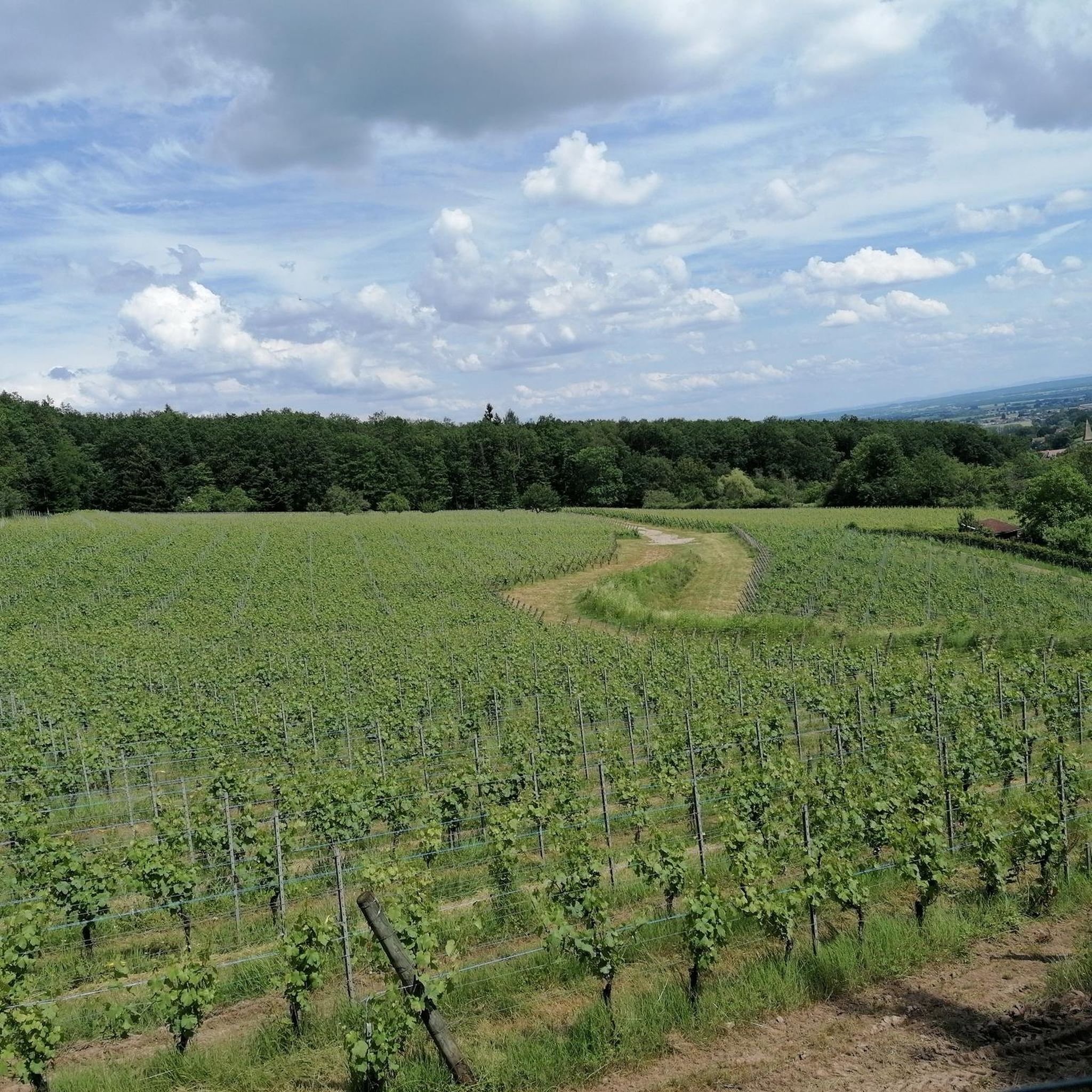
Road Cycling Routes around Leimbach
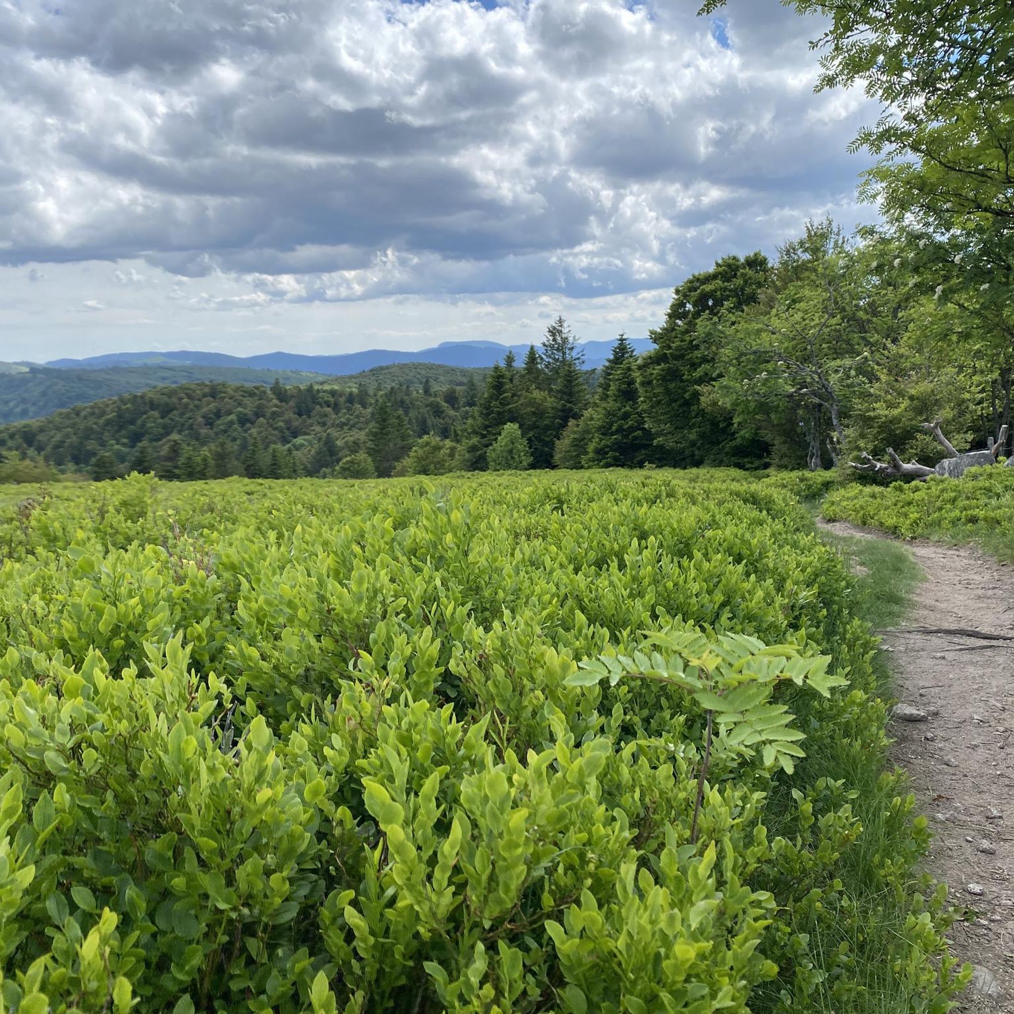
Road Cycling Routes around Réserve Naturelle du massif du Grand Ventron
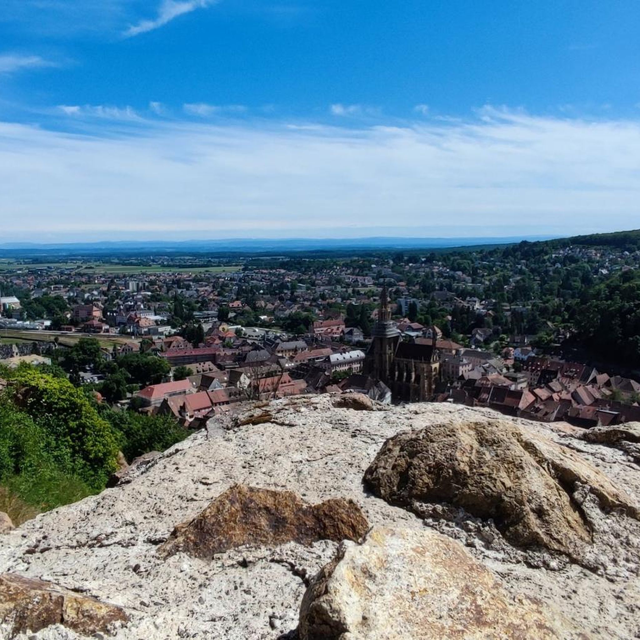
Road Cycling Routes around Thann
Road Cycling Routes around Rammersmatt
Road Cycling Routes around Isenheim
Road Cycling Routes around Raedersheim
Road Cycling Routes around Geberschweier
Road Cycling Routes around Wattwiller
Road Cycling Routes around Sennheim
Other adventures around Thann-Gebweiler


Tips from the Community


Good, affordable accommodation. Right in the heart of the Cols.
0
0

At the pass, the paved Chemin Béry forest road leads to the Col de la Vierge after 2 km and Lac des Corbeaux after 4.5 km. Driving down from the pass towards La Bresse, after 1 km you will reach a fork in the road. Turn right onto the quiet D34 A departmental road, the Route des Américains, which climbs to the Vosges ridge road, the Route des Crêtes. There it joins the Col de Rothenbach with its striking summit. The Route des Américains is 5 km long and has an elevation gain of almost 280 meters.
0
0
The VV221 cycle route is part of the EuroVélo 5 network and begins in Ensisheim at the Thur bridge and ends in Cernay after about 17 km. The route initially runs alongside the road, then past ponds and finally through a wooded area. It runs alongside the Thur and passes the Alsatian Ecomuseum (another route leads to Ungersheim via the Petit Prince Park). The Green Route then winds along the Thur, passing Pulversheim, Staffelfelden, and Wittelsheim, and finally reaches Cernay, still along the Thur.
0
0

A pleasant section to ride, with moderate climbs and little traffic. There were a few racing cyclists on the road.
0
0

The artificially created, yet idyllically situated "Lac de la Lauch" lake is featured in the komoot system not only for joggers, but also as a highlight for various sports, including hikers, with many more photos uploaded there. If you're interested, see =>>https://www.komoot.com/de-de/highlight/308200
0
0
No, swimming or bathing is not permitted in Lac de la Lauch. Located in the Vallée de la Lauch, Lac de la Lauch is a reservoir fed by the Lauchbach stream, which flows in and out. It serves as a source of drinking water. The valley, with its meltwater streams running along the mountain slopes, is relatively rich in water and features shady forests.
0
0

Nice climb, very good asphalt. Little traffic (during the week in early June).
0
0
Frequently Asked Questions
How many road cycling routes are available in Thann-Gebweiler?
Thann-Gebweiler offers a wide selection of road cycling routes, with over 430 tours available. These routes cater to various skill levels, including approximately 118 easy, 237 moderate, and 79 difficult options.
What kind of terrain can I expect when road cycling in Thann-Gebweiler?
The region's terrain is highly varied, dominated by the Vosges Mountains. You can expect challenging ascents to peaks like the Grand Ballon, leisurely rides through extensive vineyards, and scenic paths around tranquil lakes such as Lake Kruth-Wildenstein and Lac d'Alfeld. Dense forests and rolling hills also contribute to a diverse cycling environment.
Are there road cycling routes suitable for beginners or families in Thann-Gebweiler?
Yes, Thann-Gebweiler offers numerous options for less strenuous rides. There are approximately 118 easy routes available, including picturesque loops through vineyards. A great example is the Alsace Vineyard and Michelbach Lake Loop, which is 40.4 km long and leads through vineyards and past Lake Michelbach.
What are the most challenging road cycling routes in the region?
For experienced cyclists seeking a challenge, Thann-Gebweiler provides routes with significant elevation changes, particularly those ascending the Vosges Mountains. Notable difficult routes include Le Grand Ballon — loop from Thann, a 74.8 km trail with a significant ascent, and the Ballon d'Alsace and Hundsruck Pass Loop, a 79.0 km path navigating through mountain passes.
Are there any circular road cycling routes in Thann-Gebweiler?
Many of the road cycling routes in Thann-Gebweiler are designed as loops, allowing you to start and finish in the same location. Examples include the challenging Grand Ballon – Markstein loop from Guebwiller and the more moderate Bannstein Pass – Grand Ballon loop from Rouffach.
What natural features can I see along the road cycling routes?
The region is rich in natural beauty. Cyclists can encounter the majestic Vosges Mountains, including the highest peak, Grand Ballon, and the more authentic Petit Ballon. Routes often pass by tranquil lakes like Lake Kruth-Wildenstein, Lac du Ballon, and Lac d'Alfeld, as well as through picturesque vineyards and dense forests. You might also discover beautiful waterfalls such as Bockloch Waterfall and Heidenbad Waterfall.
Are there any interesting landmarks or viewpoints along the road cycling routes?
Yes, several routes offer access to historical landmarks and stunning viewpoints. The summit of Grand Ballon features a monument to the Blue Devils and a radar station, offering panoramic views. You can also find medieval castles like the Château de l'Engelbourg, which provides excellent vistas. Other historical sites include the Musée de la Porte de Thann.
What do other road cyclists enjoy the most about road cycling in Thann-Gebweiler?
The area is highly rated by the komoot community, with an average score of 4.5 stars from over 800 reviews. Cyclists frequently praise the varied terrain, from challenging mountain ascents to scenic vineyard loops, and the well-maintained routes that showcase the natural beauty of the Vosges Mountains and tranquil lakes.
Is there public transport access to road cycling routes in Thann-Gebweiler?
While specific public transport options for accessing trailheads can vary, the region is generally well-connected. For detailed information on local bus or train services that might accommodate bicycles, it's advisable to check local transport schedules or contact the regional tourism office.
Where can I find parking for road cycling routes in Thann-Gebweiler?
Parking is generally available in the towns and villages that serve as starting points for many routes, such as Thann and Guebwiller. Specific parking information for individual trailheads can often be found within the komoot tour descriptions or by consulting local tourism resources.
Are there any specific passes or cols that are popular among road cyclists in Thann-Gebweiler?
Absolutely. The Vosges Mountains are home to several iconic passes popular with road cyclists. Besides the ascent to Grand Ballon, the Col du Haag is a notable pass, originally developed during World War I, and is now a key feature of longer scenic drives like the Route des Crêtes, offering challenging climbs and rewarding views.
Can I find places to eat or stay along the road cycling routes?
Yes, the region offers various amenities for cyclists. Towns and villages along the routes provide cafes and restaurants. For accommodation, you can find options ranging from hotels to guesthouses. Some routes even pass by mountain huts or farm inns, such as Haag Farm or Gresson Moyen Farm Inn, which can be convenient stops.
Most popular routes around Thann-Gebweiler
Most popular attractions around Thann-Gebweiler

Get inspired with the komoot mobile app


Didn’t find what you were looking for?
Check out more Road cycling routes throughout Thann-Gebweiler below and find the perfect route in your destination.
Explore more
Browse the best Road cycling routes in other regions.
