The best walks and hikes around Latour-De-France
4.5
(783)
4,233
hikers
87
hikes
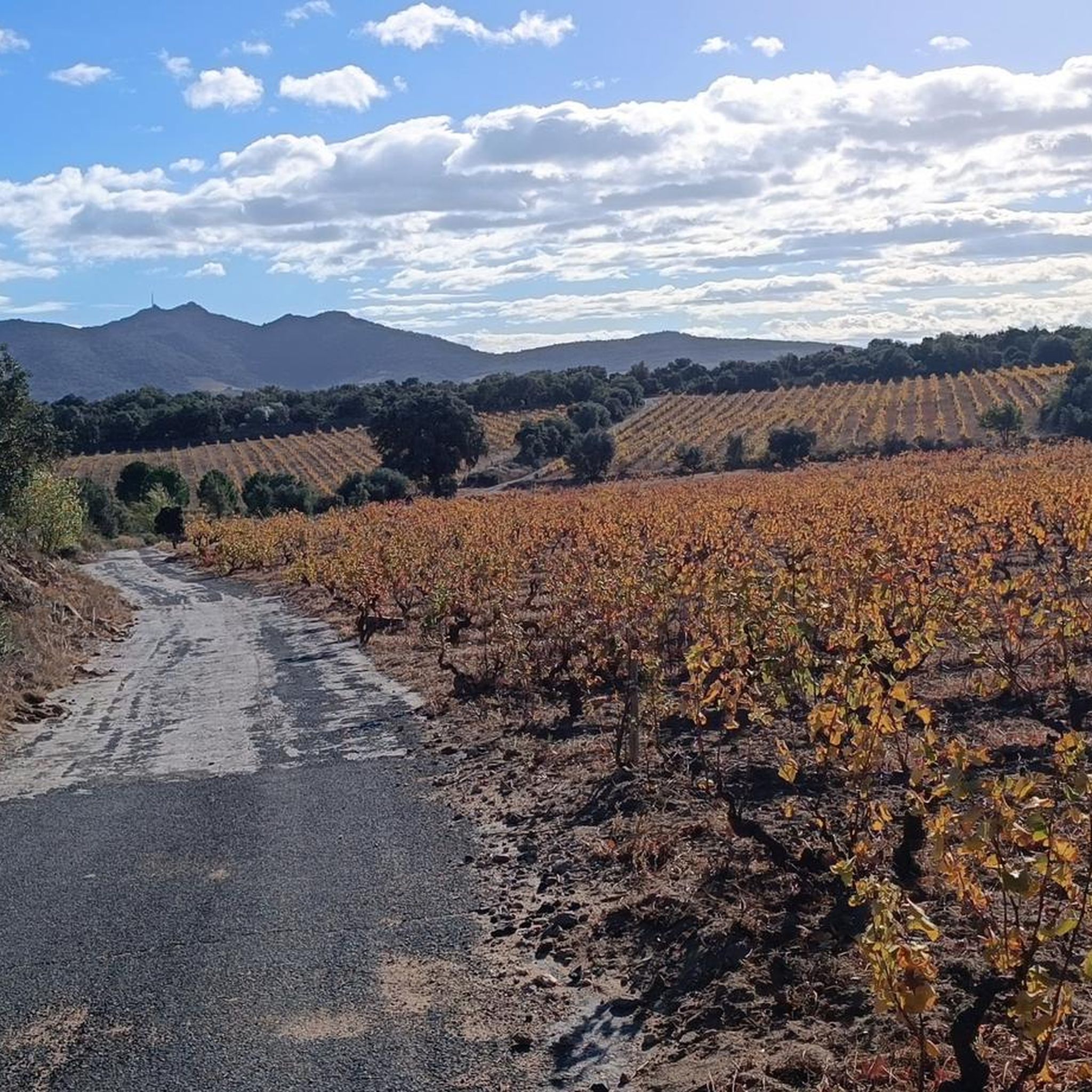
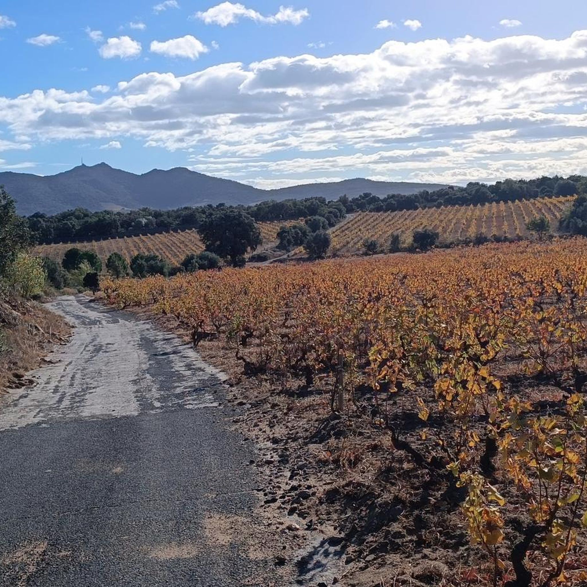
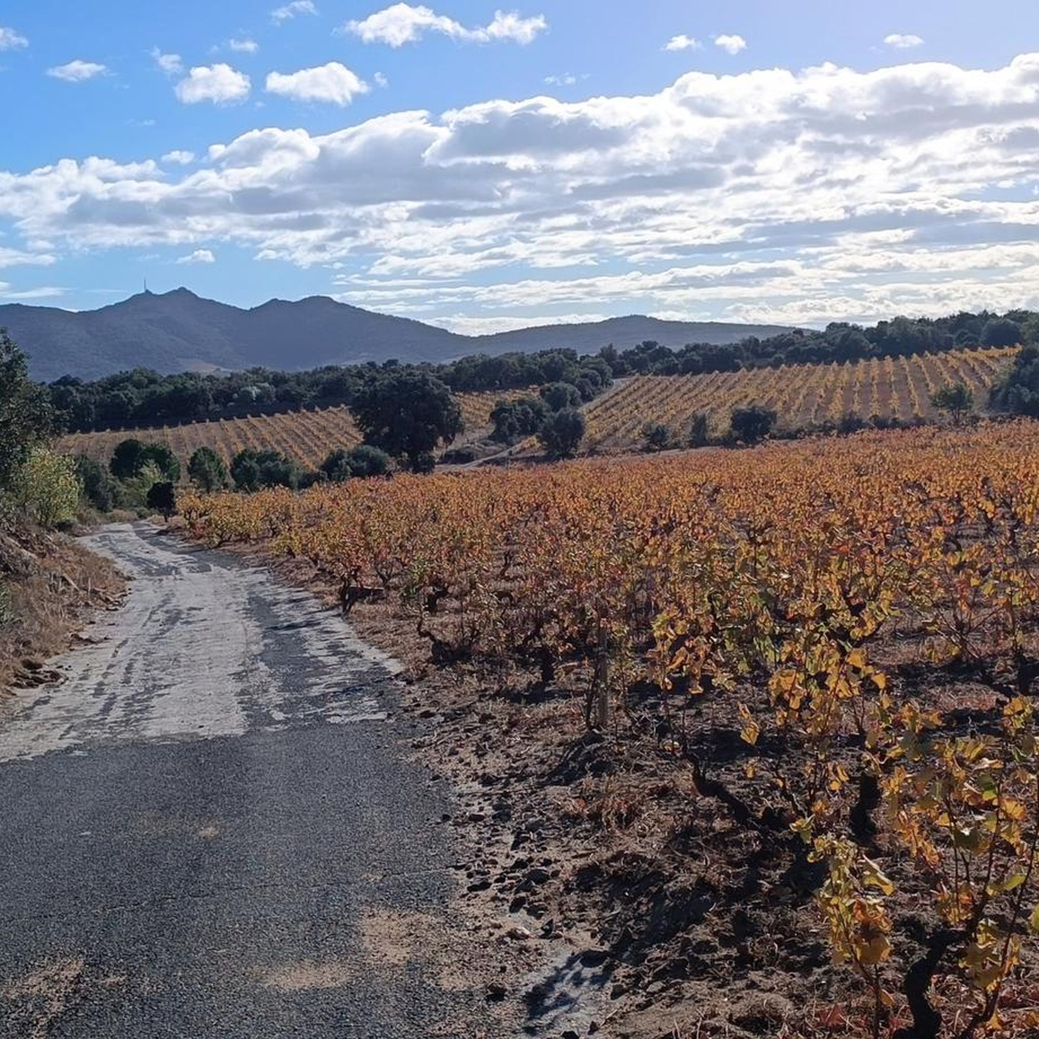
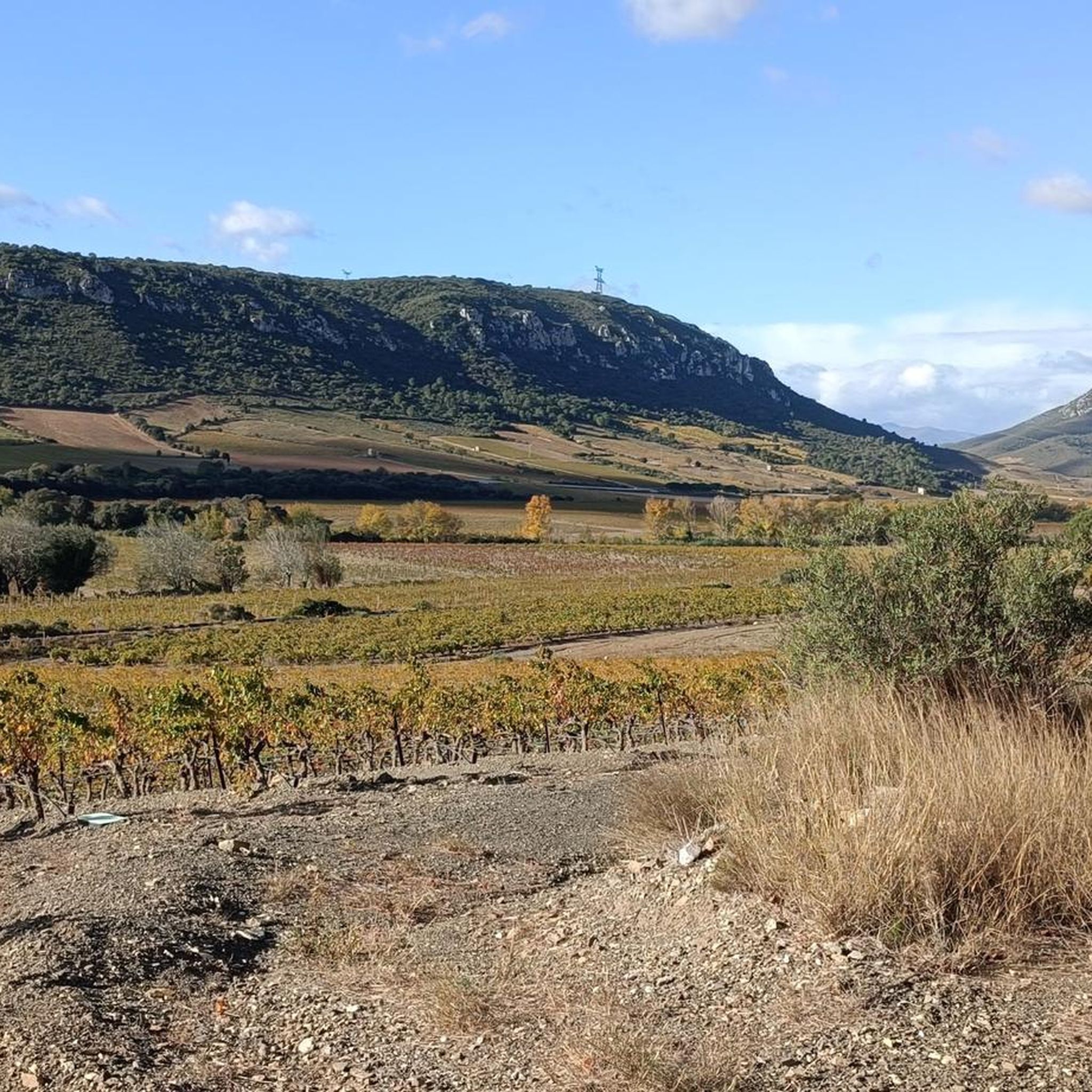
Hiking around Latour-De-France offers routes through the varied terrain of the Pyrénées-Orientales department. The landscape is characterized by rolling hills, vineyards, and rocky outcrops, providing diverse views. Trails often lead through Mediterranean scrubland and offer glimpses of the Agly Valley. The region's geology creates a mix of open vistas and more sheltered paths.
Best hiking trails around Latour-De-France
- The most popular hiking route is Força Real loop from Ermitage de Força Réal, a 2.3 miles (3.7 km) trail that…
Last updated: July 31, 2026
4.6
(9)
69
hikers
3.67km
01:13
180m
180m
Easy hike. Great for any fitness level. Easily-accessible paths. Suitable for all skill levels.
4.6
(7)
48
hikers
10.9km
03:24
390m
390m
Moderate hike. Good fitness required. Easily-accessible paths. Suitable for all skill levels.

Sign up for free
4.6
(7)
46
hikers
7.14km
02:09
230m
230m
Moderate hike. Good fitness required. Easily-accessible paths. Suitable for all skill levels.
4.3
(3)
26
hikers
9.03km
02:53
360m
360m
Moderate hike. Good fitness required. Easily-accessible paths. Suitable for all skill levels.
4.8
(5)
16
hikers
6.91km
02:03
210m
210m
Moderate hike. Good fitness required. Easily-accessible paths. Suitable for all skill levels.
Get access to more routes and recommendations from other explorers.
Sign up for free
Already have an account?
Our route recommendations are based on thousands of hikes, rides, and runs completed by other people on komoot.
Start today with a free account
Your next adventure awaits.
Login or Signup

Tips from the Community

Super view and superb MTB descent on a singletrack.
0
0

Magnificent viewpoint overlooking the Roussillon plain with Mount Canigou directly opposite. The wind can sometimes be strong at the summit. Also accessible from Pezilla.
0
0

A very beautiful hike. We're on high ground almost the entire time, with a beautiful view of the entire region. I highly recommend it except on hot days. There's very little shade.
0
0

Superb sunrise bike ride. 1st in Perpignan in 2022
0
0


A beautifully situated chapel with a breathtaking view from the forecourt; the Canigou is practically right in front of you - highly recommended.
2
0
Gigantic panoramic view that can only be described as breathtaking; an absolute recommendation.
3
0
Frequently Asked Questions
How many hiking trails are available around Latour-De-France?
There are over 75 hiking routes around Latour-De-France, offering a diverse range of experiences from gentle strolls to more challenging ascents. You'll find 23 easy routes, 44 moderate, and 12 difficult trails to explore.
Are there easy hiking trails suitable for beginners or families in Latour-De-France?
Yes, Latour-De-France offers a good selection of easy trails perfect for beginners or families. An excellent option is the Pic Aubeill Viewpoint loop from Cassagnes, an easy 6.9 km route that takes around 2 hours 20 minutes to complete, offering pleasant views without significant elevation gain.
What kind of terrain can I expect on hikes around Latour-De-France?
The terrain around Latour-De-France is characterized by rolling hills, extensive vineyards, and rocky outcrops. You'll encounter Mediterranean scrubland, offering a mix of open vistas and partially shaded paths. The region's geology provides varied landscapes, including views of the Agly Valley.
Are there any circular hiking routes in Latour-De-France?
Yes, many of the trails around Latour-De-France are circular, allowing you to start and end at the same point. For example, the Capitelle Ruin loop from Planèzes is a moderate 9 km circular hike that takes about 2 hours 50 minutes, passing by historical ruins.
What are some interesting landmarks or attractions I can see while hiking in the area?
While hiking around Latour-De-France, you can discover several notable attractions. Consider visiting the historic Quéribus Castle, or marvel at the unique geological formations like the Fairy Chimneys and The Organ Pipes of Ille-sur-Têt. The Notre-Dame de Força Réal Chapel also offers a cultural point of interest.
What do other hikers enjoy most about hiking in Latour-De-France?
The hiking trails around Latour-De-France are highly rated by the komoot community, with an average score of 4.5 stars from over 690 reviews. Hikers often praise the diverse landscapes, the panoramic views from elevated points like Força Réal, and the well-maintained paths that wind through vineyards and Mediterranean scrubland.
Is Latour-De-France a good destination for summer hiking?
Latour-De-France can be a good destination for summer hiking, but it's important to be prepared for warm Mediterranean temperatures. Many trails offer a mix of open and partially shaded sections. It's advisable to start early in the morning, carry plenty of water, and choose routes with some tree cover during the hottest parts of the day.
Are there any wild swimming spots near the hiking trails in Latour-De-France?
While Latour-De-France itself is inland, the Pyrénées-Orientales region is known for its rivers and gorges that offer opportunities for wild swimming. You might find refreshing spots in areas like the Gouleyrous Gorge or other river sections, though these may require a short drive from the immediate hiking areas.
What should I wear for hiking in Latour-De-France?
Given the Mediterranean climate and varied terrain, layered clothing is recommended. Lightweight, breathable fabrics are ideal, especially during warmer months. Sturdy hiking shoes with good grip are essential for rocky or uneven paths. Don't forget sun protection like a hat, sunglasses, and sunscreen, as many trails have exposed sections.
Are there any hikes that pass by a cafe or a place to eat nearby?
While specific routes may not directly pass a cafe, many villages in the Latour-De-France area, including Latour-De-France itself, offer local establishments where you can enjoy a meal or a drink before or after your hike. It's a good idea to check local village amenities for options.
How long do hikes typically take in Latour-De-France?
Hiking durations vary significantly depending on the route's length and difficulty. Easy trails like the Força Real loop from Ermitage de Força Réal can be completed in just over an hour (2.3 miles / 3.7 km), while moderate routes such as the Força Real – Descent of the Força Réal loop from Montner (6.8 miles / 10.9 km) can take around 3 hours 20 minutes.
Is there parking available at the trailheads in Latour-De-France?
Parking availability can vary by trailhead. Many villages and popular starting points for hikes, such as Ermitage de Força Réal or Montner, typically have designated parking areas. It's always advisable to check the specific route details on komoot for information on parking at the start of your chosen trail.
Most popular routes around Latour-De-France
Most popular attractions around Latour-De-France

Get inspired with the komoot mobile app


Explore more
Browse the best Hikes in other regions.
