The best walks and hikes around Saint-Max
4.5
(567)
3,653
hikers
15
hikes
Hiking around Saint-Max offers routes primarily along the Meurthe River and through urban green spaces. The terrain features gentle riverside paths and some hills leading to plateaus, providing varied walking experiences. The area is characterized by its proximity to Nancy, offering accessible outdoor activities within a more urbanized setting. These trails provide opportunities for leisurely walks and moderate hikes.
Best hiking trails around Saint-Max
- The most popular hiking route is Plateau de Malzéville – Plateau de Malzéville loop from Dommartemont…
Last updated: August 15, 2026
4.4
(12)
103
hikers
10.2km
02:49
180m
180m
Moderate hike. Good fitness required. Easily-accessible paths. Suitable for all skill levels.
5.0
(4)
66
hikers
12.8km
03:15
40m
40m
Moderate hike. Good fitness required. Easily-accessible paths. Suitable for all skill levels.

Sign up for free
5.0
(4)
38
hikers
8.45km
02:23
180m
180m
Moderate hike. Good fitness required. Easily-accessible paths. Suitable for all skill levels.
4.1
(10)
75
hikers
7.60km
01:56
20m
20m
Easy hike. Great for any fitness level. Easily-accessible paths. Suitable for all skill levels.
16
hikers
5.91km
01:30
20m
20m
Easy hike. Great for any fitness level. Easily-accessible paths. Suitable for all skill levels.
Get access to more routes and recommendations from other explorers.
Sign up for free
Already have an account?
Our route recommendations are based on thousands of hikes, rides, and runs completed by other people on komoot.
Start today with a free account
Your next adventure awaits.
Login or Signup
Tips from the Community

Log cabin next to the officers' memorial grave
0
0


Malzéville plateau relay antenna
0
0

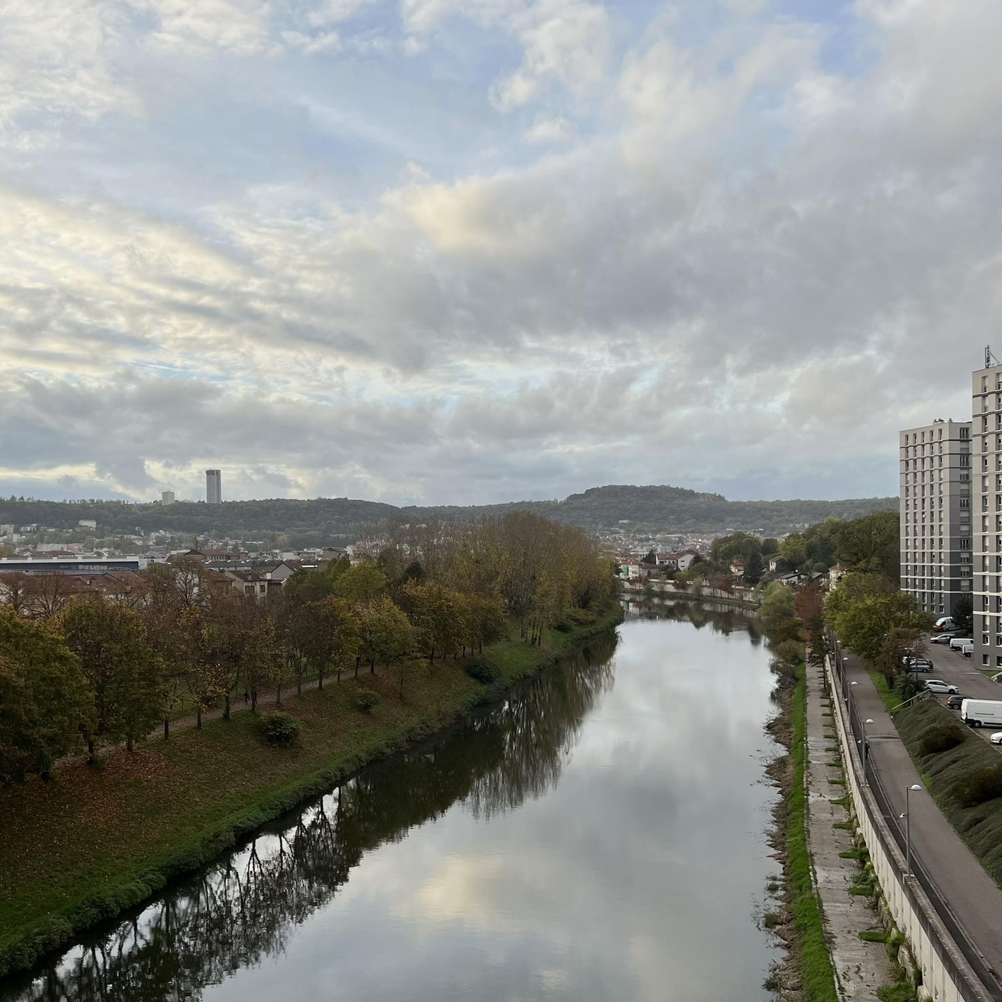
Pedestrian and bicycle bridge over the Mörthe.
1
0

Nice crossing point, even starting point on the greenway along the Meurthe.
2
0

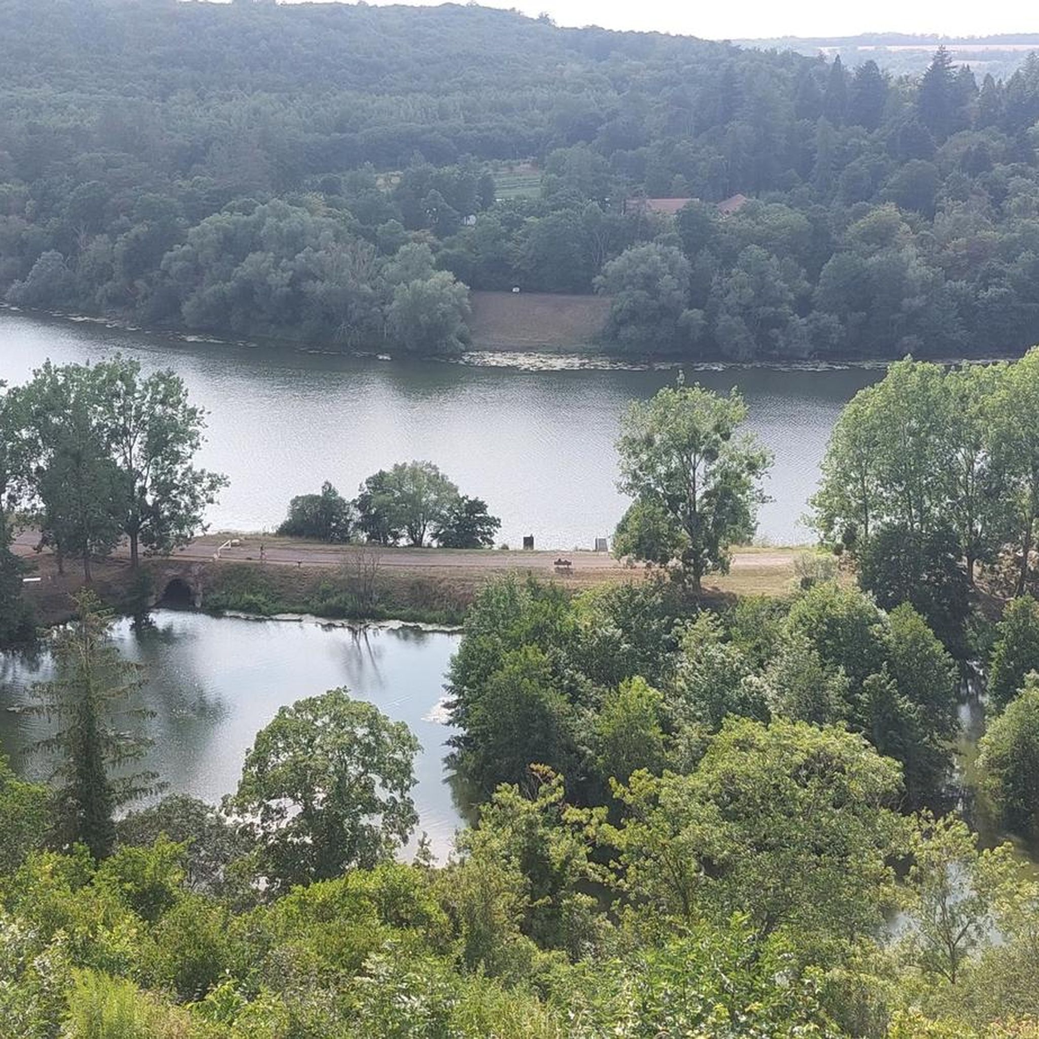
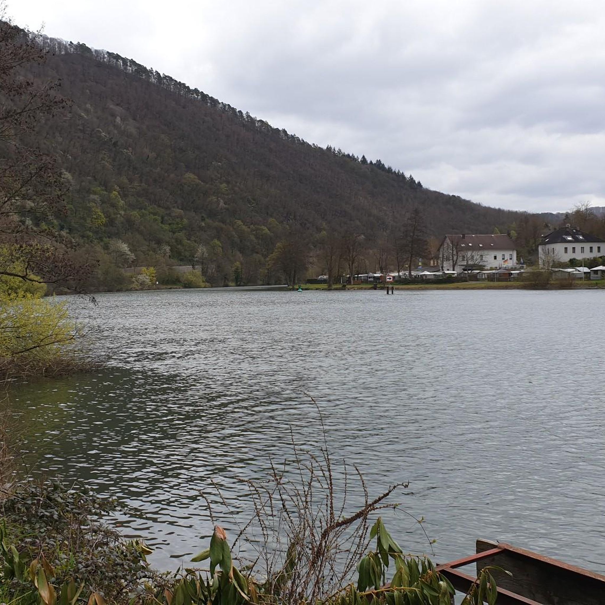
The Plateau de Malzéville, located at the gates of Nancy, offers an exceptional panoramic view of the Meurthe valley and the city below. This natural site, surrounded by meadows and forests, is a popular place for walks, with paths winding through green landscapes. At the top of the plateau, the calm and serenity allow you to fully enjoy nature while admiring the unobstructed view.
1
1


Historical monument! In the 20th century, industrial production took place here. It is a large industrial complex for the production of flour and bread, located on an important site in the Stanislas-Meurthe district. It consists of silos, workshops and a mill. The structure is made of reinforced concrete. Its surface area is 22,000 m2 with a 9-storey main building.
1
0
Frequently Asked Questions
How many hiking trails are available around Saint-Max?
There are over 10 hiking routes available around Saint-Max, offering a variety of experiences from easy riverside strolls to moderate ascents to plateaus. In total, komoot lists 13 tours in the area.
What kind of terrain can I expect on hikes near Saint-Max?
Hikes around Saint-Max primarily feature gentle riverside paths along the Meurthe River and routes through urban green spaces. You can also find trails with moderate ascents leading to plateaus, such as the Plateau de Malzéville – Plateau de Malzéville loop from Dommartemont, offering varied walking experiences within a more urbanized setting near Nancy.
Are there easy hiking options for beginners or families in Saint-Max?
Yes, Saint-Max offers several easy hiking options suitable for beginners and families. There are 4 easy routes, including the Nancy dam – Méchelle footbridge loop from Saint-Max, which is an easy 3.1-mile (5.0 km) path following the Meurthe River with flat sections and water views.
What do other hikers say about the trails in Saint-Max?
The hiking routes in Saint-Max are highly rated by the komoot community, with an average score of 4.5 stars from over 530 reviews. More than 3700 hikers have used komoot to explore the area, often praising the accessible riverside paths and the pleasant urban green spaces.
Are there circular hiking routes available in Saint-Max?
Yes, many of the trails around Saint-Max are circular routes, allowing you to start and end at the same point. Examples include the Plateau de Malzéville – Plateau de Malzéville loop from Dommartemont and the Moulin Noir Footbridge loop from Nancy.
Can I bring my dog on the hiking trails around Saint-Max?
Generally, dogs are welcome on many of the outdoor paths and green spaces around Saint-Max, especially on riverside trails. However, it's always recommended to keep them on a leash and check local signage for any specific restrictions in certain parks or protected areas.
Are there any interesting landmarks or attractions to see while hiking near Saint-Max?
While hiking near Saint-Max, you can explore several notable attractions in the broader Nancy area. These include the historic Stanislas Square, the tranquil Place de la Carrière, and the Confluence of the Moselle and Meurthe rivers. Many trails offer views or direct access to these points of interest.
What are some moderate hiking options for a longer outing?
For a moderate and longer outing, consider routes like the Plateau de Malzéville – Plateau de Malzéville loop from Dommartemont, which is 6.2 miles (10.0 km) and takes about 2 hours 47 minutes. Another option is the Moulin Noir Footbridge loop from Nancy, a 7.9-mile (12.8 km) trail typically completed in about 3 hours 15 minutes.
How long do hikes typically take around Saint-Max?
Hikes around Saint-Max vary in length and duration. Easy routes like the Nancy dam – Méchelle footbridge loop from Saint-Max can take just over an hour, while moderate trails such as the Plateau de Malzéville – Plateau de Malzéville loop from Dommartemont typically range from 2.5 to 3.5 hours.
Is parking available near the trailheads in Saint-Max?
Given Saint-Max's proximity to Nancy and its urban green spaces, parking is generally available in nearby residential areas or designated public parking lots. For specific trailheads, it's advisable to check local maps or komoot tour details for parking suggestions.
What is the best time of year to go hiking in Saint-Max?
The best time to go hiking in Saint-Max is typically during spring, summer, and early autumn. The mild weather during these seasons makes for comfortable walking conditions along the riverside paths and through the green spaces. Winter hikes are also possible, especially on clear days, but paths may be damp or muddy.
Can I access hiking trails in Saint-Max using public transport?
Yes, Saint-Max is well-connected to Nancy's public transport network. Many trailheads, especially those along the Meurthe River or within urban parks, are accessible via local bus routes, making it convenient to reach starting points without a car.
Are there opportunities to see wildlife on the trails around Saint-Max?
While Saint-Max is close to an urban area, the riverside paths along the Meurthe River and the local green spaces offer opportunities to observe common urban and riparian wildlife. You might spot various bird species, ducks, and other small animals, particularly during quieter times of the day.
Most popular routes around Saint-Max
Most popular attractions around Saint-Max

Get inspired with the komoot mobile app


Explore more
Browse the best Hikes in other regions.
