The best road cycling routes around Curgies
4.4
(284)
5,181
riders
402
rides
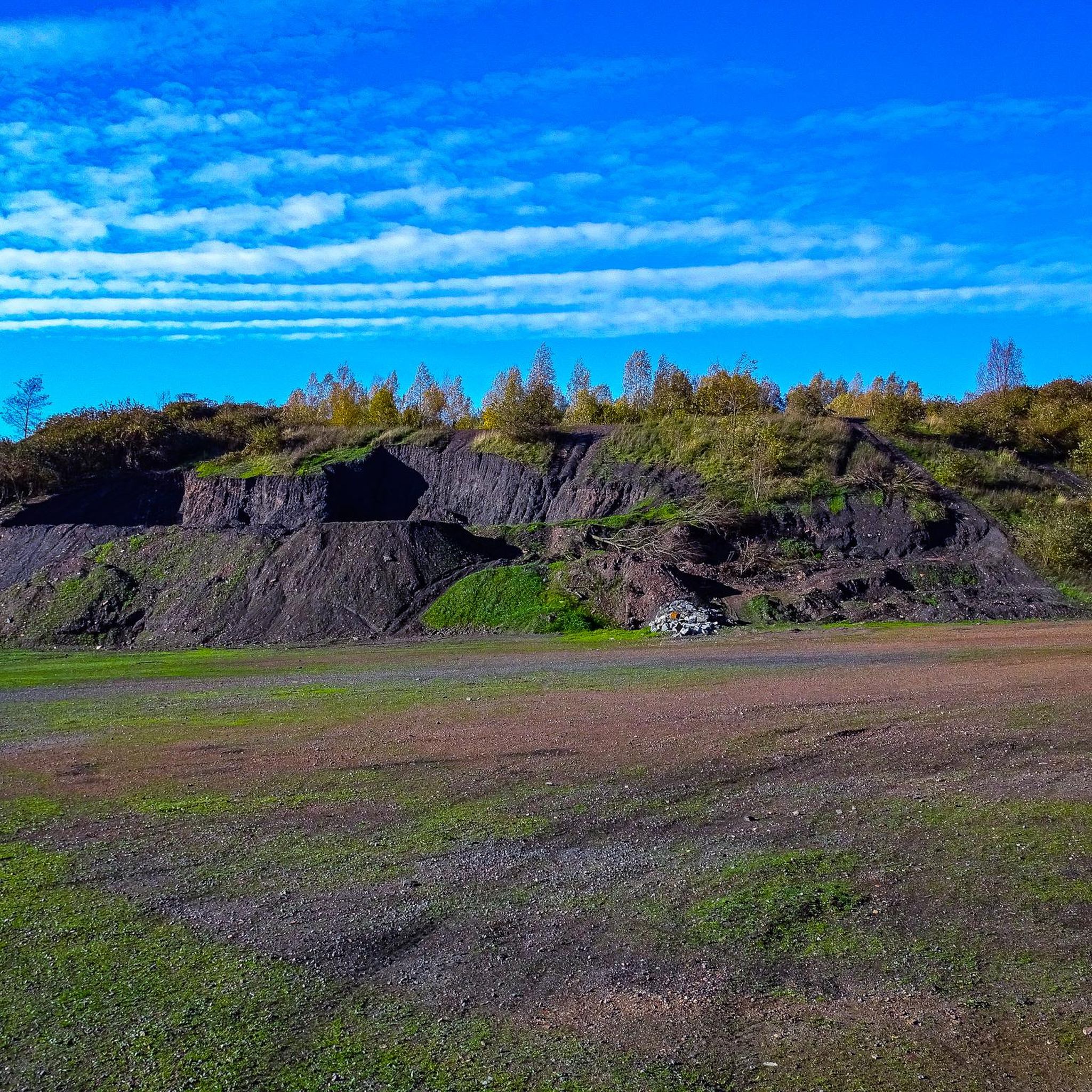
Road cycling routes around Curgies offer access to the diverse landscapes of the Hauts-de-France region. The area is characterized by tranquil countryside, open fields, and rolling hills, providing varied terrain for road cyclists. Routes often feature segments through forests, along canals, and can include challenging cobbled sections reminiscent of the Paris-Roubaix race, particularly near Valenciennes. This region provides a network of paths suitable for different skill levels, from gentle rides to more demanding routes with elevation gains.
Best road cycling…
Last updated: October 13, 2026
5.0
(1)
15
riders
77.8km
03:17
450m
450m
Moderate road ride. Good fitness required. Mostly well-paved surfaces and easy to ride.
5.0
(1)
13
riders
37.7km
01:31
140m
140m
Easy road ride. Great for any fitness level. Mostly well-paved surfaces and easy to ride.

5.0
(1)
10
riders
81.3km
03:33
520m
520m
Moderate road ride. Good fitness required. Mostly well-paved surfaces and easy to ride.
6
riders
47.6km
02:03
360m
360m
Moderate road ride. Good fitness required. Mostly well-paved surfaces and easy to ride.
5
riders
55.3km
02:21
300m
300m
Moderate road ride. Good fitness required. Mostly well-paved surfaces and easy to ride.
Get access to more routes and recommendations from other explorers.
Already have an account?
Our route recommendations are based on thousands of hikes, rides, and runs completed by other people on komoot.
Start today with a free account
Your next adventure awaits.



Tips from the Community


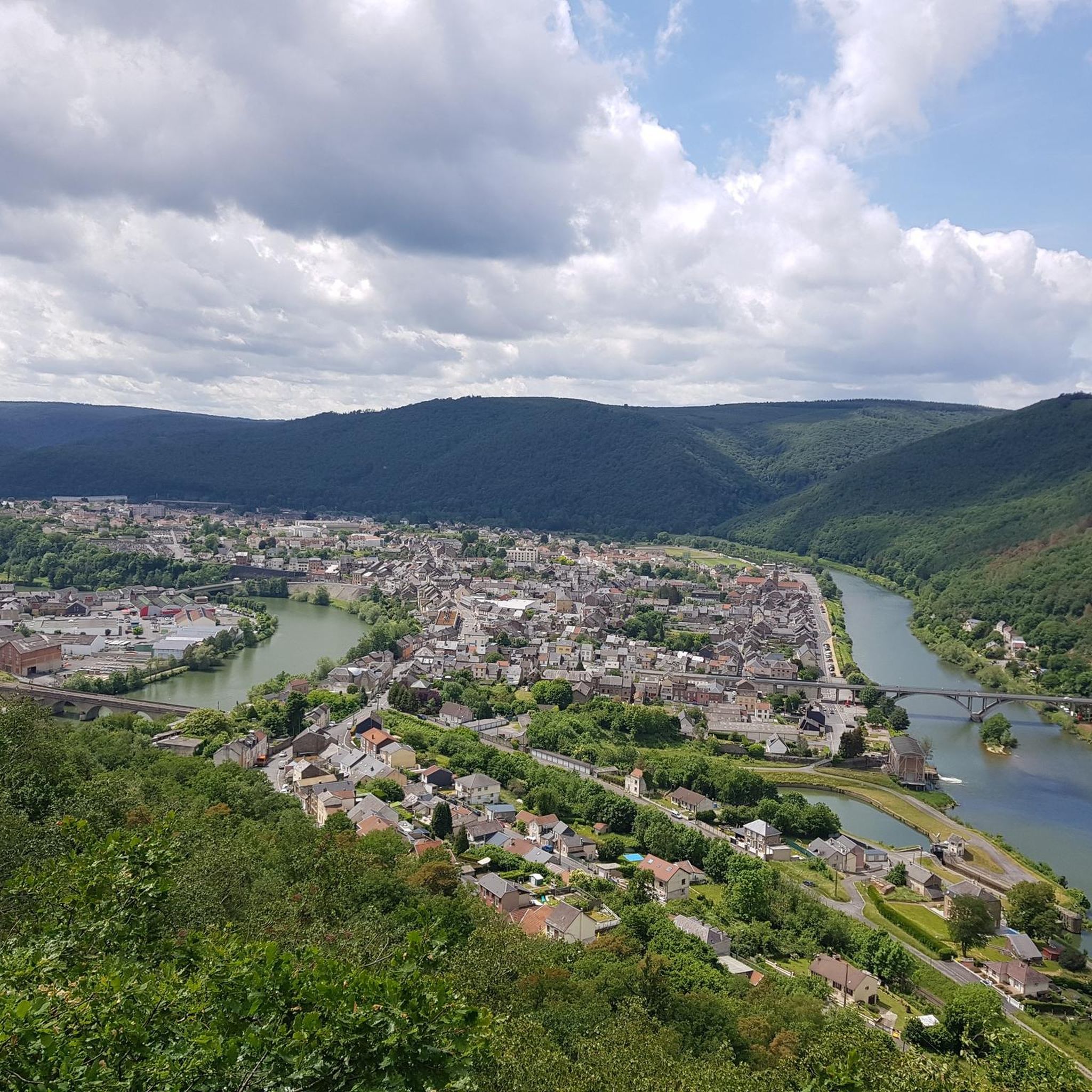
A pleasant view of the Rhonelle
0
0
brasserie l'enfer where you can taste good local beer
0
0

Very pleasant place, with a very nice room upstairs, on the ground floor a friendly room to have a drink and eat well, super friendly welcome.
0
0
This famous Jenlain brewery
0
0

Frequently Asked Questions
What kind of terrain can I expect on road cycling routes around Curgies?
The region around Curgies offers diverse terrain for road cyclists. You'll find tranquil countryside with open fields and rolling hills, as well as routes through forests and along canals. Some routes, particularly closer to Valenciennes, may even include challenging cobbled sections reminiscent of the famous Paris-Roubaix race, providing a unique experience.
Are there routes suitable for beginners or those looking for an easier ride?
Yes, Curgies offers a good selection of routes for various skill levels. Out of over 400 road cycling routes in the area, more than 100 are classified as easy. For example, the Côte de la Cascade loop from Estreux is an easy 26.9-mile (43.3 km) trail that takes about 1 hour 50 minutes to complete, leading through picturesque local countryside.
What are some notable landmarks or points of interest I can see along the cycling routes?
While cycling around Curgies, you can encounter various points of interest. Routes might pass by historical sites like Le Quesnoy or castles such as Potelle Castle. Natural features like the Le Caillou-qui-Bique natural monument or the serene Bois d'Angre forest are also accessible. The region's unique 'terrils' (former mining slag heaps) offer distinctive landscapes, though their suitability for road cycling depends on the specific path surface.
Are there any circular road cycling routes available?
Many of the road cycling routes around Curgies are designed as loops, allowing you to start and finish in the same location. A popular example is the Quelipont Waterfall – Côte de la Cascade loop from Curgies, a moderate 50.6-mile (81.5 km) route with varied terrain and notable climbs.
What do other road cyclists think about the routes in Curgies?
The road cycling routes in Curgies are highly regarded by the komoot community, holding an average rating of 4.4 stars from over 190 reviews. More than 4,400 road cyclists have explored the area using komoot, often praising the tranquil countryside, rolling hills, and the variety of accessible routes through forests and along canals.
Can I find routes that include waterfalls or scenic natural features?
Yes, some routes incorporate scenic natural features. The Quelipont Waterfall – Côte de la Cascade loop from Curgies is a prime example, featuring the Quelipont Waterfall. The region also offers rides along canals and through forests like the Marchiennes State Forest, providing picturesque natural settings.
Are there options for family-friendly road cycling?
While Curgies offers many routes, for family-friendly road cycling, it's best to look for routes specifically marked as 'easy' or those with minimal elevation gain and away from heavy traffic. The View of the Village – Quélipont Waterfall loop from Sebourg, an easy 39.1-km route, could be a suitable option for families looking for a less strenuous ride.
What is the best time of year for road cycling in the Curgies area?
The Hauts-de-France region, including Curgies, generally offers pleasant cycling conditions from spring through early autumn. These seasons provide milder weather and longer daylight hours, making for more enjoyable rides. It's always advisable to check the local weather forecast before heading out.
Where can I find information about public transport options for cyclists in the Hauts-de-France region?
For detailed information on public transport options that accommodate bicycles in the wider Hauts-de-France region, including near Curgies and Valenciennes, it is recommended to consult local transport authority websites or regional tourism resources. You might find useful information on the Valenciennes tourism site: tourismevalenciennes.fr.
Are there any routes that offer views of villages or historical sites?
Absolutely. Many routes weave through the local countryside, offering glimpses of charming villages and historical architecture. For instance, the View of the Village – Quélipont Waterfall loop from Sebourg specifically highlights village views. You might also pass by local churches like the Eglise Notre-Dame de l'Assomption or the Chapelle Sainte Rita in Curgies itself.
How many road cycling routes are available around Curgies?
There are over 400 road cycling routes available around Curgies, catering to a wide range of preferences and skill levels. This extensive network ensures plenty of options for exploration.
Can I find challenging routes with significant elevation gain?
Yes, for cyclists seeking a challenge, the region does offer routes with notable elevation gains. While Curgies is known for rolling hills, some routes, like the Quelipont Waterfall – Côte de la Cascade loop from Curgies, feature varied terrain and significant climbs, requiring good fitness. Out of the total routes, 16 are classified as difficult.
Are there any specific routes that pass by castles?
Yes, some routes will take you near historical castles. The Potelle Castle – Côte de la Cascade loop from Curgies is a moderate 76.7-km route that specifically includes Potelle Castle as a point of interest along the way.
Most popular attractions around Curgies

Get inspired with the komoot mobile app


Explore more
Browse the best Road cycling routes in other regions.
