The best walks and hikes around Taisnières-Sur-Hon
4.5
(990)
4,867
hikers
387
hikes
Hiking around Taisnières-Sur-Hon offers diverse natural landscapes within the Nord department of France, bordering Belgium. The region is characterized by picturesque bocage countryside, featuring hedged farmland, winding paths, and wooded areas. Numerous rivers and streams, including the Hogneau, drain the area, adding to the scenic beauty and ecological diversity. With an altitude ranging from 118 to 157 meters, the hiking terrain is generally gentle, making routes accessible for various fitness levels.
Best hiking trails around Taisnières-Sur-Hon
- The most popular hiking route is The Chapels Route of Houdain loop from Hon-Hergies, a 7.5 miles (12.1 km) moderate trail that takes about 3 hours 7 minutes to complete, traversing the Hogneau valley and connecting various hamlets and their chapels.
- Another top favourite among local hikers is Hiking loop from Taisnières-sur-Hon, a moderate 6.5 miles (10.4 km) path. This route meanders along narrow paths, showcasing the bocage landscape and the interplay of trees and water.
- Local hikers also love the Château d'Audignies loop from Bavay, a 5.3 miles (8.5 km) trail leading through gentle terrain and rural landscapes, often completed in about 2 hours 11 minutes.
- Hiking around Taisnières-Sur-Hon is defined by its bocage countryside, numerous rivers and streams, and diverse natural habitats. The network offers options for different ability levels, with many routes considered easy to moderate.
- The routes in Taisnières-Sur-Hon are highly rated by the komoot community with an average score of 4.5 stars from over 800 reviews. More than 4000 hikers have used komoot to explore Taisnières-Sur-Hon's varied terrain.
Last updated: May 13, 2026
4.3
(4)
21
hikers
12.1km
03:07
70m
70m
Moderate hike. Good fitness required. Easily-accessible paths. Suitable for all skill levels.
4.4
(8)
31
hikers
10.4km
02:44
80m
80m
Moderate hike. Good fitness required. Easily-accessible paths. Suitable for all skill levels.

Sign up for free
17
hikers
8.51km
02:11
30m
30m
Moderate hike. Good fitness required. Easily-accessible paths. Suitable for all skill levels.
4.0
(2)
11
hikers
9.06km
02:23
80m
80m
Moderate hike. Good fitness required. Easily-accessible paths. Suitable for all skill levels.
5.0
(1)
10
hikers
Moderate hike. Good fitness required. Easily-accessible paths. Suitable for all skill levels.
Get access to more routes and recommendations from other explorers.
Sign up for free
Already have an account?
Our route recommendations are based on thousands of hikes, rides, and runs completed by other people on komoot.
Start today with a free account
Your next adventure awaits.
Login or Signup


Tips from the Community

The route continues to the left here, for the cross you have to look to the right at the intersection, it is hidden between the trees
0
0

The name “Sars” comes from the Latin “Sartum”, meaning a cleared place, emphasizing its agricultural vocation. Sars-la-Bruyère is crossed by an old Roman road linking Bavay to Utrecht. The keep of Sars-la-Bruyère, dating from the 13th century, is one of the oldest medieval remains in the region.
1
0
This fishing pond is a true natural setting, frequented by neighbors who walk in the forest. Ideal for a weekend stroll!
0
0
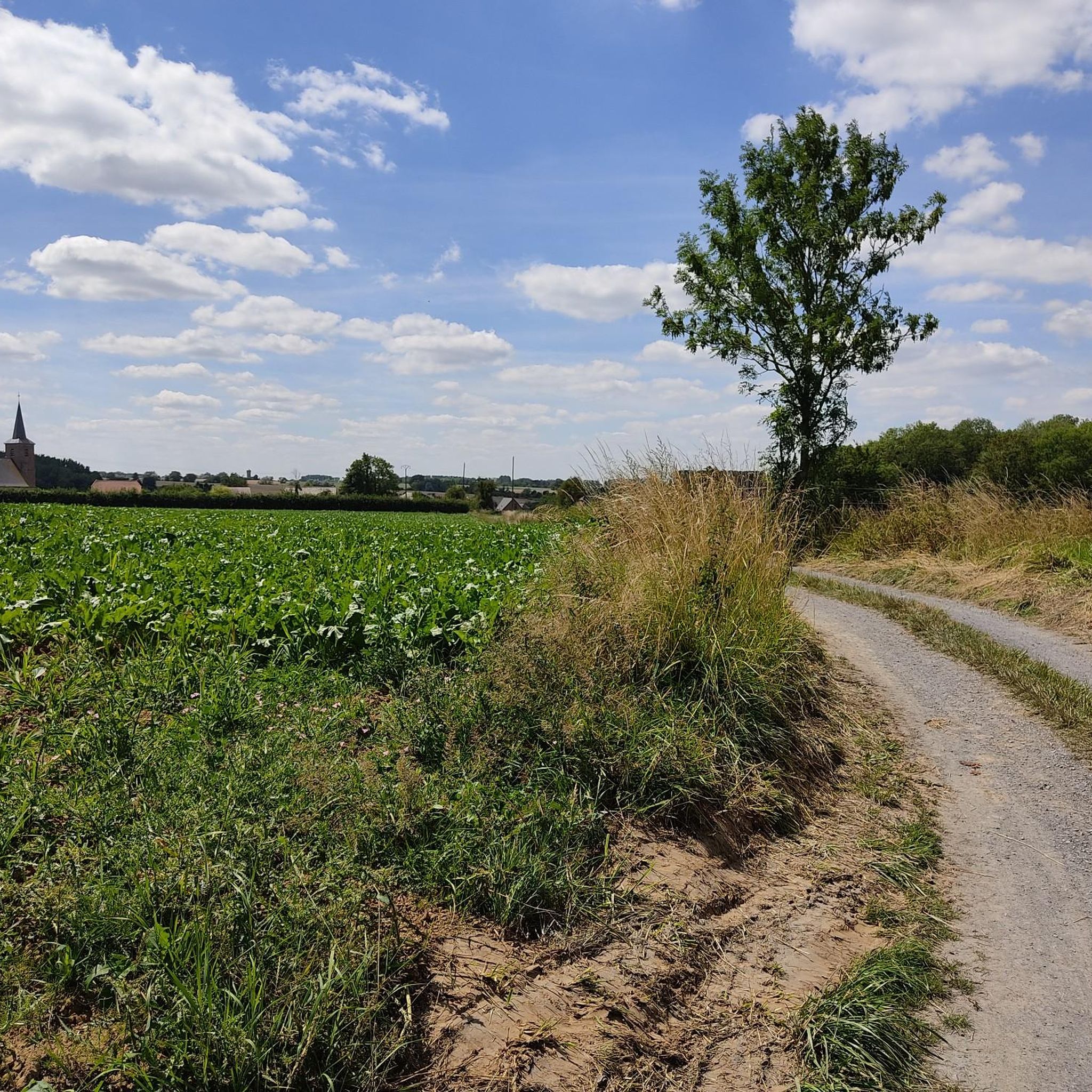
It is an easy path, which allows you to appreciate the surrounding countryside and get away from it all in the middle of nature.
1
0

Pleasant country lane alongside chapels and streams Very pleasant, very muddy in some places in rainy weather
0
0

Be careful part of the path is very muddy even in dry weather
0
0

This small chapel is located in the hollow of the woods in Blaugies. It’s definitely worth the detour!
3
0

Nice grill restaurant/brewery. Sells 75cl bottles for those like me who are picking up the local brews during the ride.
0
0
Frequently Asked Questions
How many hiking trails are available in the Taisnières-Sur-Hon area?
There are over 380 hiking routes available around Taisnières-Sur-Hon. These include a good mix of easy and moderate trails, with a smaller number of more challenging options.
What kind of natural landscapes can I expect to see while hiking in Taisnières-Sur-Hon?
The region is characterized by picturesque bocage countryside, featuring hedged farmland, winding paths, and wooded areas. You'll also encounter numerous rivers and streams, such as the Hogneau, Goe, and Erelle, which add to the scenic beauty and ecological diversity. The trails offer diverse natural habitats to explore.
What is the typical terrain and difficulty level for hiking in Taisnières-Sur-Hon?
The terrain in Taisnières-Sur-Hon is generally gentle, with altitudes ranging from 118 to 157 meters. Most trails are considered easy to moderate, making them accessible for a wide range of fitness levels. There are 111 easy routes and 258 moderate routes, with only 15 difficult trails.
Are there any circular hiking routes in the area?
Yes, many routes in the area are circular. For example, the Hiking loop from Taisnières-sur-Hon is a moderate 10.4 km path that showcases the bocage landscape. Another option is the Château d'Audignies loop from Bavay, an 8.5 km moderate trail through rural landscapes.
Are there family-friendly hiking options in Taisnières-Sur-Hon?
Yes, the generally gentle terrain and easy to moderate difficulty of many trails make them suitable for families. The region's diverse natural environments and historical points of interest can also make for engaging walks for all ages.
What historical or cultural landmarks can I discover along the trails?
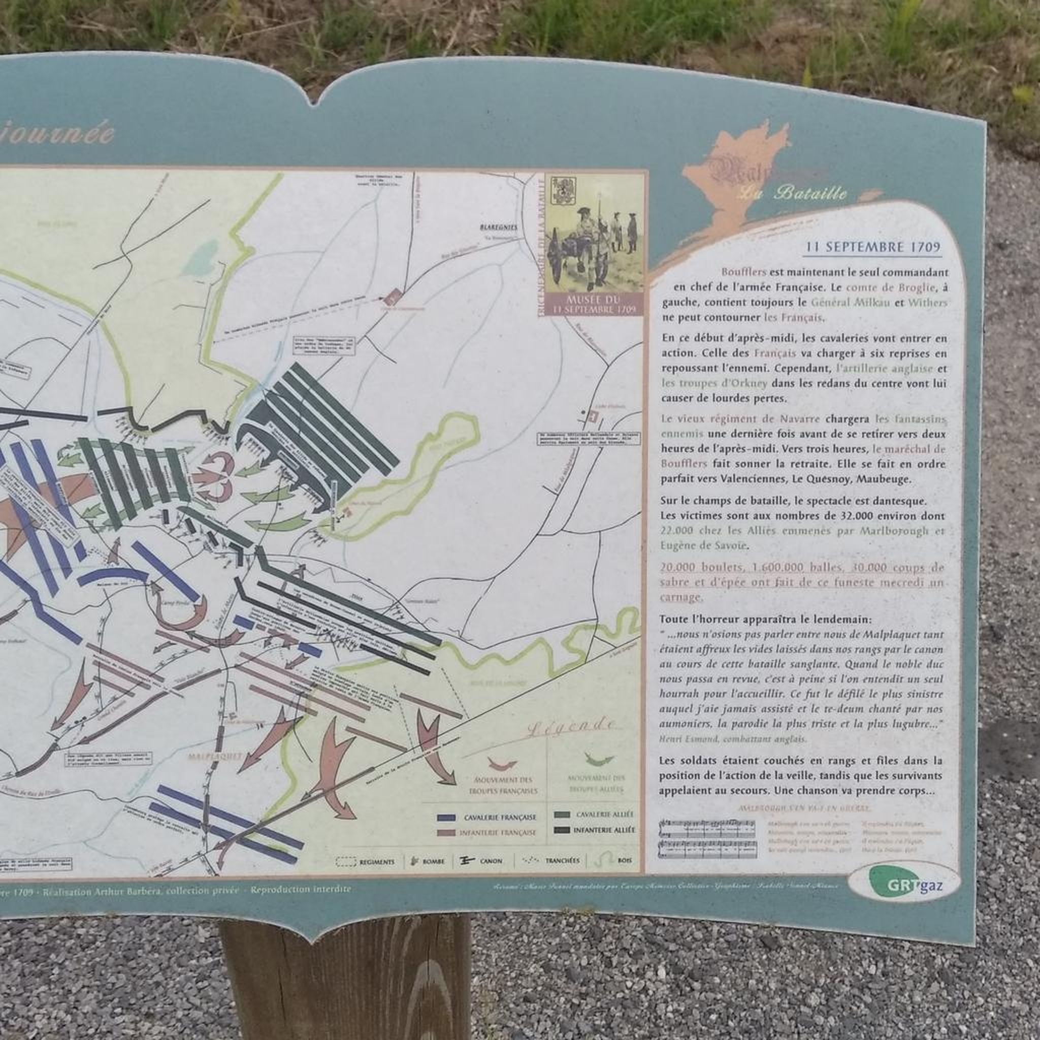
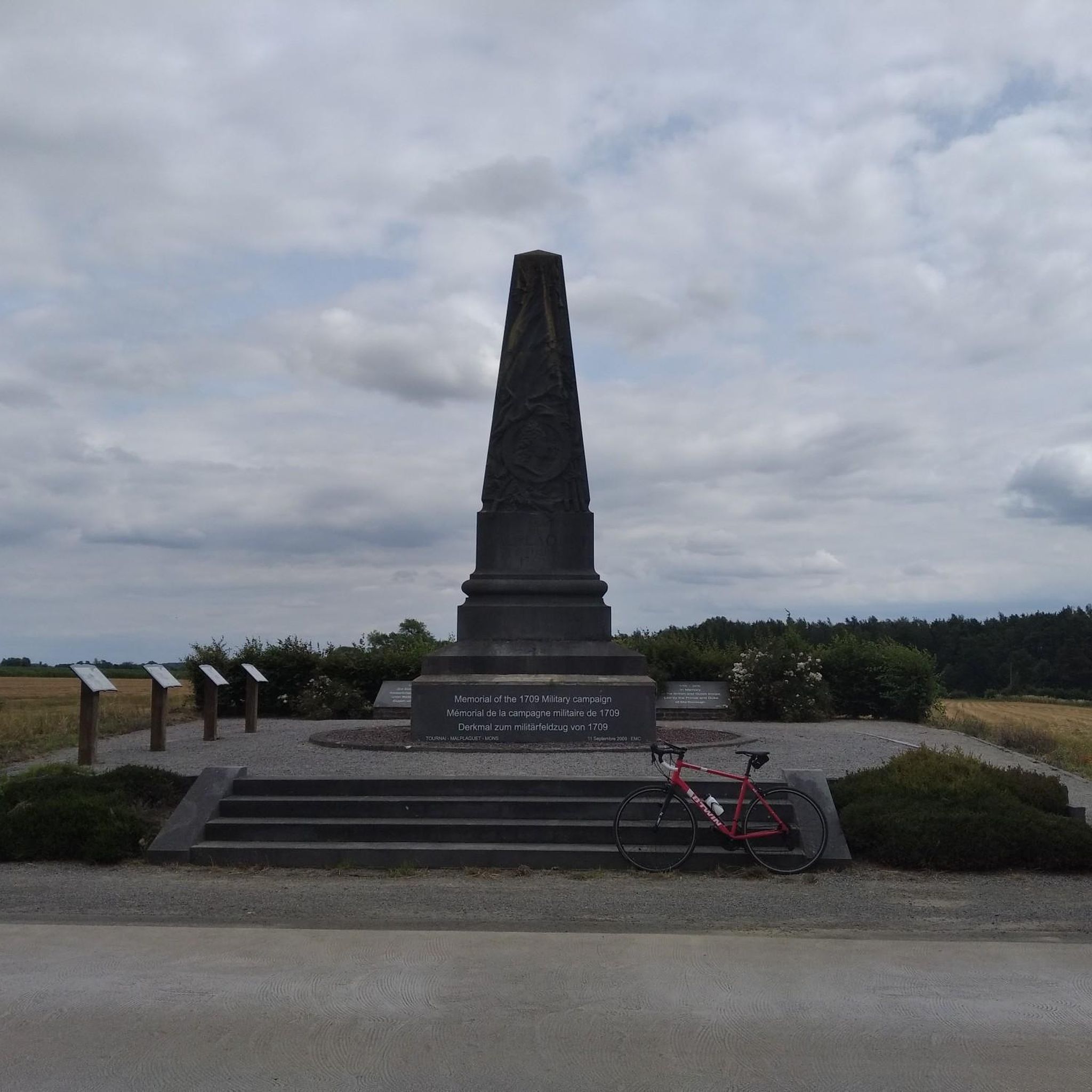
Hiking routes often integrate the region's rich history. You can explore the Malplaquet 1709 Route, which takes you through the site of a historic battle, featuring memorials and the Saint-Michel de Malplaquet Church. Other routes highlight architectural heritage, including numerous oratories and a water mill, or the local 'blue stone' geology.
What do other hikers say about the trails in Taisnières-Sur-Hon?
The trails in Taisnières-Sur-Hon are highly rated by the komoot community, with an average score of 4.5 stars from over 880 reviews. More than 4,400 hikers have used komoot to explore the varied terrain, often praising the picturesque bocage and the peaceful natural environments.
Are there any specific natural attractions or viewpoints to look out for?
The region is rich in natural beauty, with the bocage countryside, numerous rivers, and diverse habitats providing scenic views. While hiking, you might encounter natural monuments like Le Caillou-qui-Bique or explore the Bois d'Angre forest.
Is there parking available near the trailheads?
While specific parking information for each trailhead is best found on individual route pages, hiking routes in Taisnières-Sur-Hon often start from or pass through picturesque villages, where parking facilities are typically available. It's advisable to check the starting point of your chosen route for details.
Can I find places to eat or drink near the hiking trails?
Yes, some routes pass through or near villages where you might find local amenities. For instance, Le Chalet Du Garde is a cafe that could be a convenient stop for refreshments.
What is the best time of year to go hiking in Taisnières-Sur-Hon?
The gentle terrain of Taisnières-Sur-Hon makes it enjoyable for hiking across multiple seasons. Spring and autumn offer pleasant temperatures and beautiful scenery with blooming flowers or vibrant foliage. Summer is also suitable, especially for walks along the shaded bocage paths and riverbanks. Winter hiking is possible, but always check local weather conditions.
Are there any trails that connect different hamlets or villages?
Yes, several routes are designed to connect local communities. The The Chapels Route of Houdain loop from Hon-Hergies, for example, traverses the Hogneau valley and links various hamlets and their chapels, offering a blend of natural beauty and local architecture.
Most popular routes around Taisnières-Sur-Hon
Most popular attractions around Taisnières-Sur-Hon

Get inspired with the komoot mobile app


Explore more
Browse the best Hikes in other regions.
