The best road cycling routes around Villers-Sire-Nicole
4.4
(76)
3,336
riders
279
rides
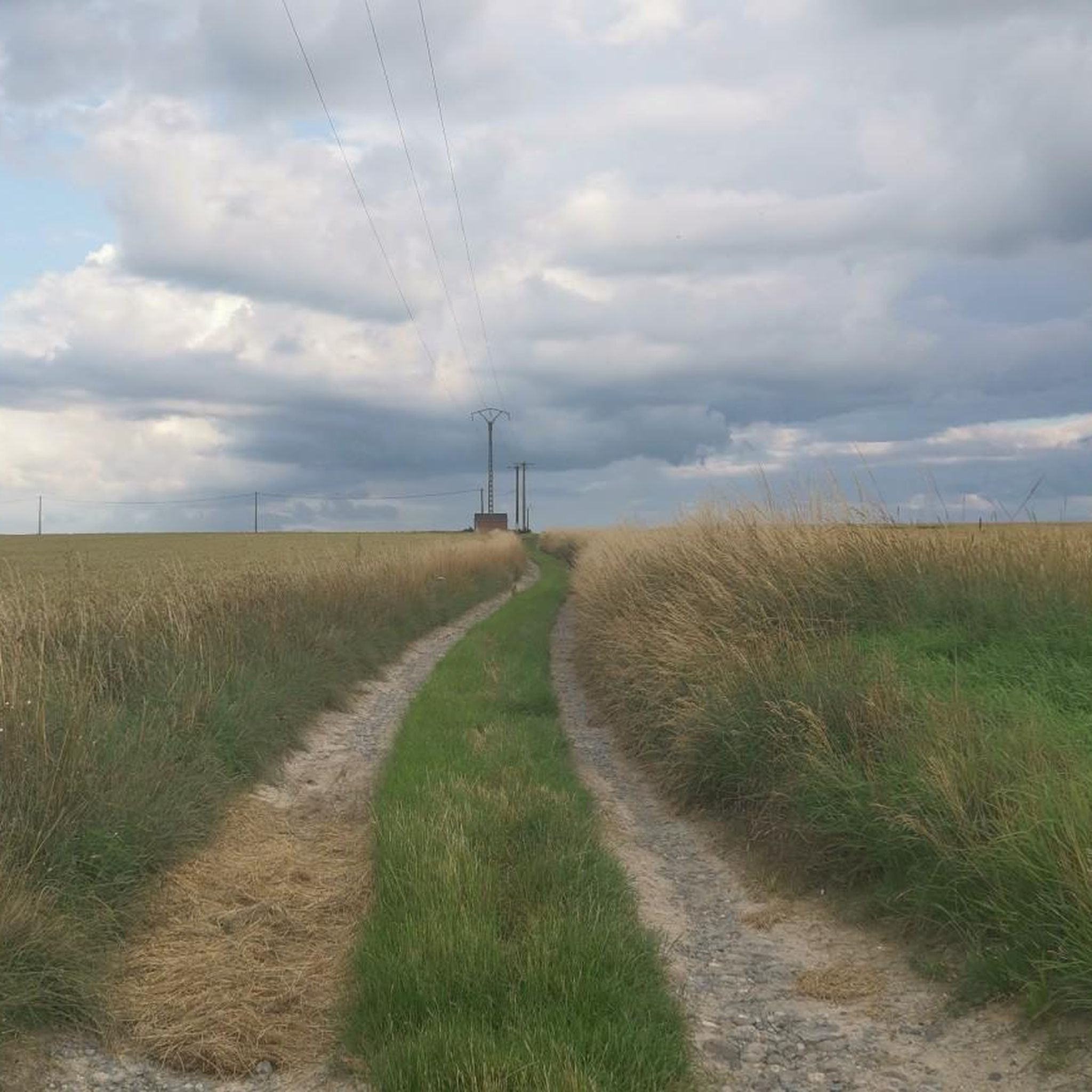
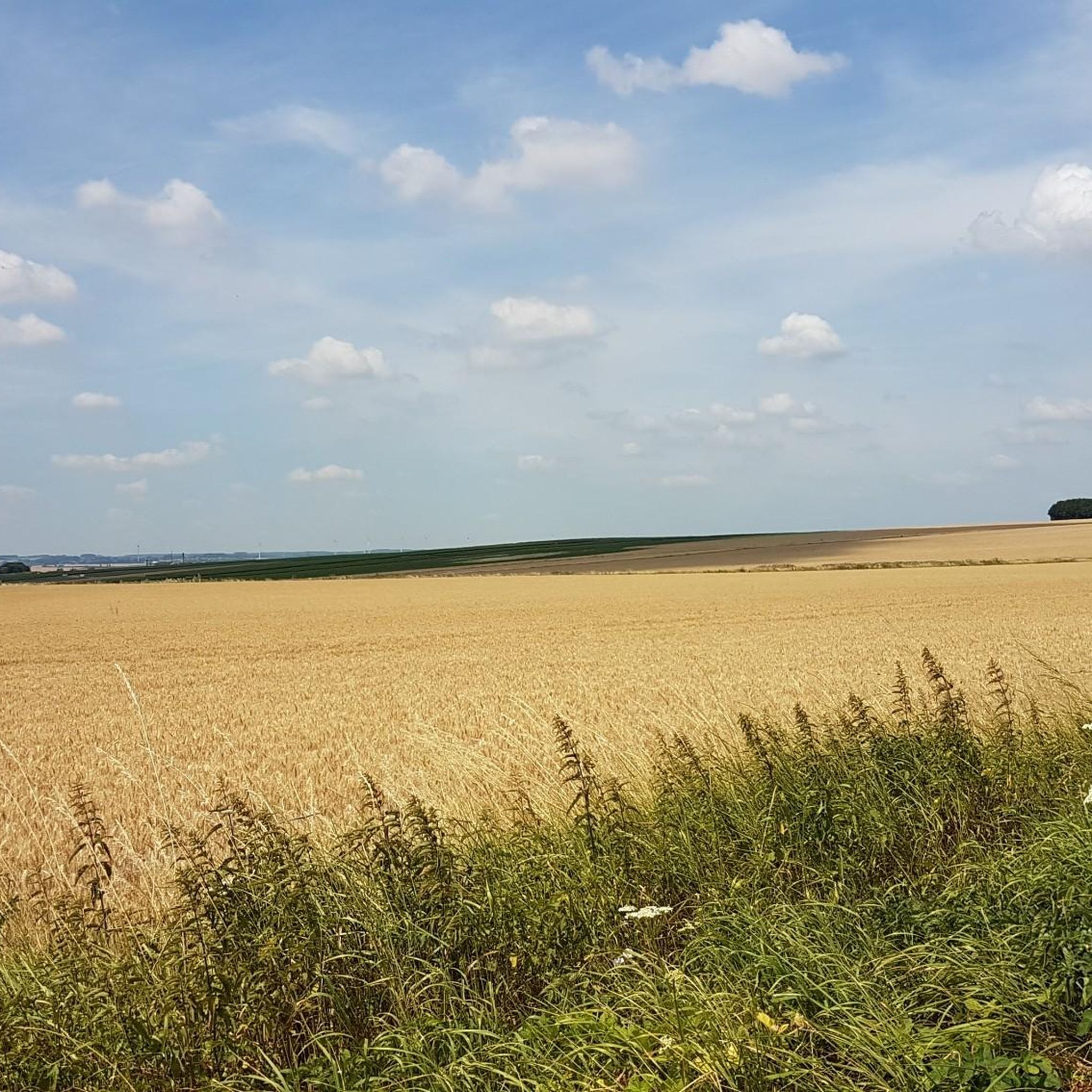
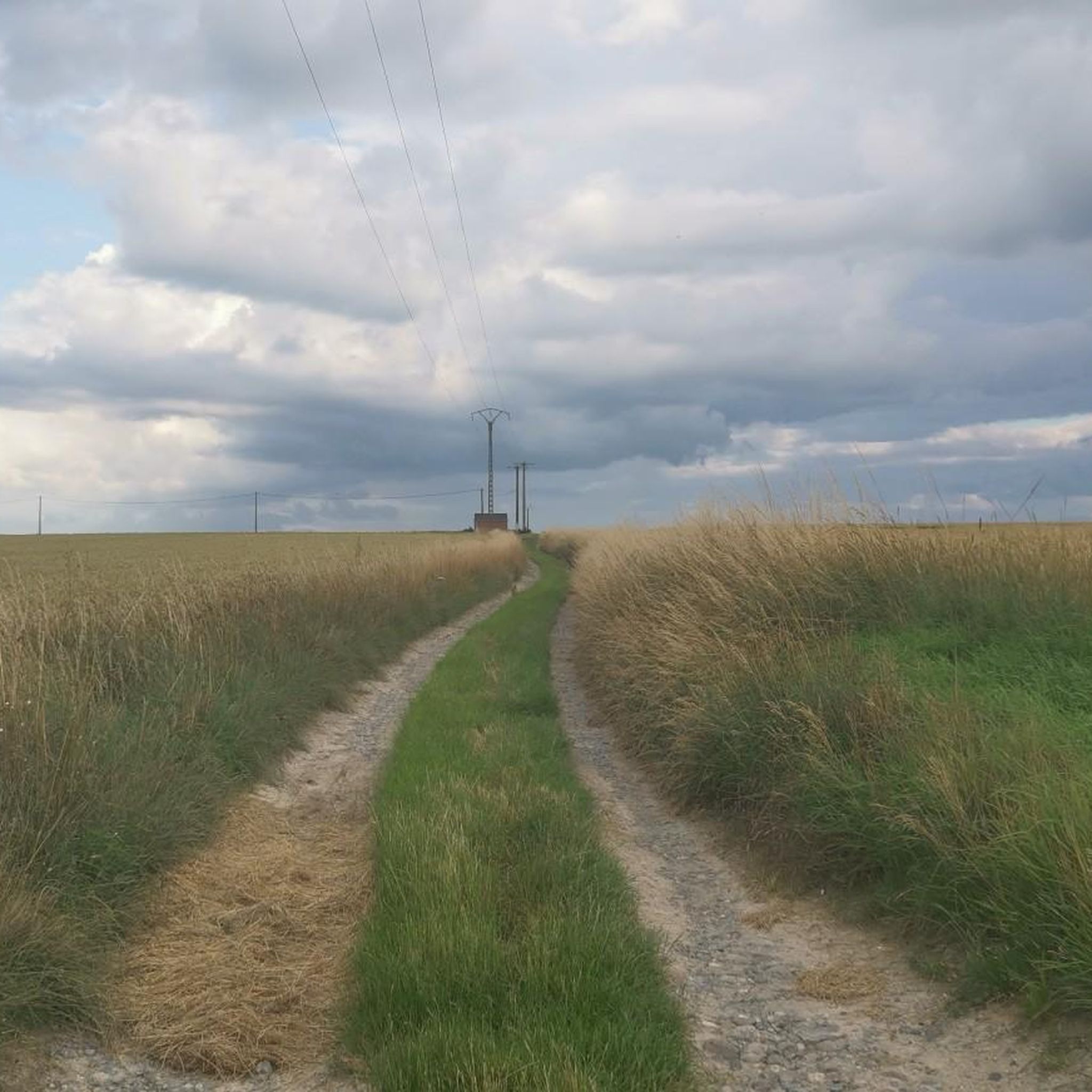
Road cycling routes around Villers-Sire-Nicole traverse a varied landscape characterized by rolling hills and lush forests. Situated on the plateau of Bavay, the area features gentle climbs and descents, with altitudes ranging from 83 to 142 meters. The Trouille River flows through the commune, offering scenic stretches that can be incorporated into routes. Nearby natural features like the Bois-l'Abbé forest provide shaded sections and diverse terrain for road cyclists.
Best road cycling routes around Villers-Sire-Nicole
- The most popular road cycling…
Last updated: May 20, 2026
5.0
(1)
24
riders
33.0km
01:21
200m
200m
Easy road ride. Great for any fitness level. Mostly well-paved surfaces and easy to ride.
7
riders
36.8km
01:46
240m
240m
Easy road ride. Great for any fitness level. Mostly well-paved surfaces and easy to ride.

Sign up for free
8
riders
24.6km
01:07
160m
160m
Easy road ride. Great for any fitness level. Mostly well-paved surfaces and easy to ride.
7
riders
43.9km
01:59
300m
300m
Moderate road ride. Good fitness required. Some segments of this route may be unpaved and difficult to ride.
7
riders
43.6km
02:02
340m
340m
Moderate road ride. Good fitness required. Mostly well-paved surfaces and easy to ride.
Get access to more routes and recommendations from other explorers.
Sign up for free
Already have an account?
Our route recommendations are based on thousands of hikes, rides, and runs completed by other people on komoot.
Start today with a free account
Your next adventure awaits.
Login or Signup

Tips from the Community

Very pleasant place, with a very nice room upstairs, on the ground floor a friendly room to have a drink and eat well, super friendly welcome.
0
0
Cycling in the forests of Peissant is a great way to discover the peaceful nature of the region. This vast forest area offers a network of well-maintained cycle paths that take you through dense forests and picturesque landscapes.
0
0

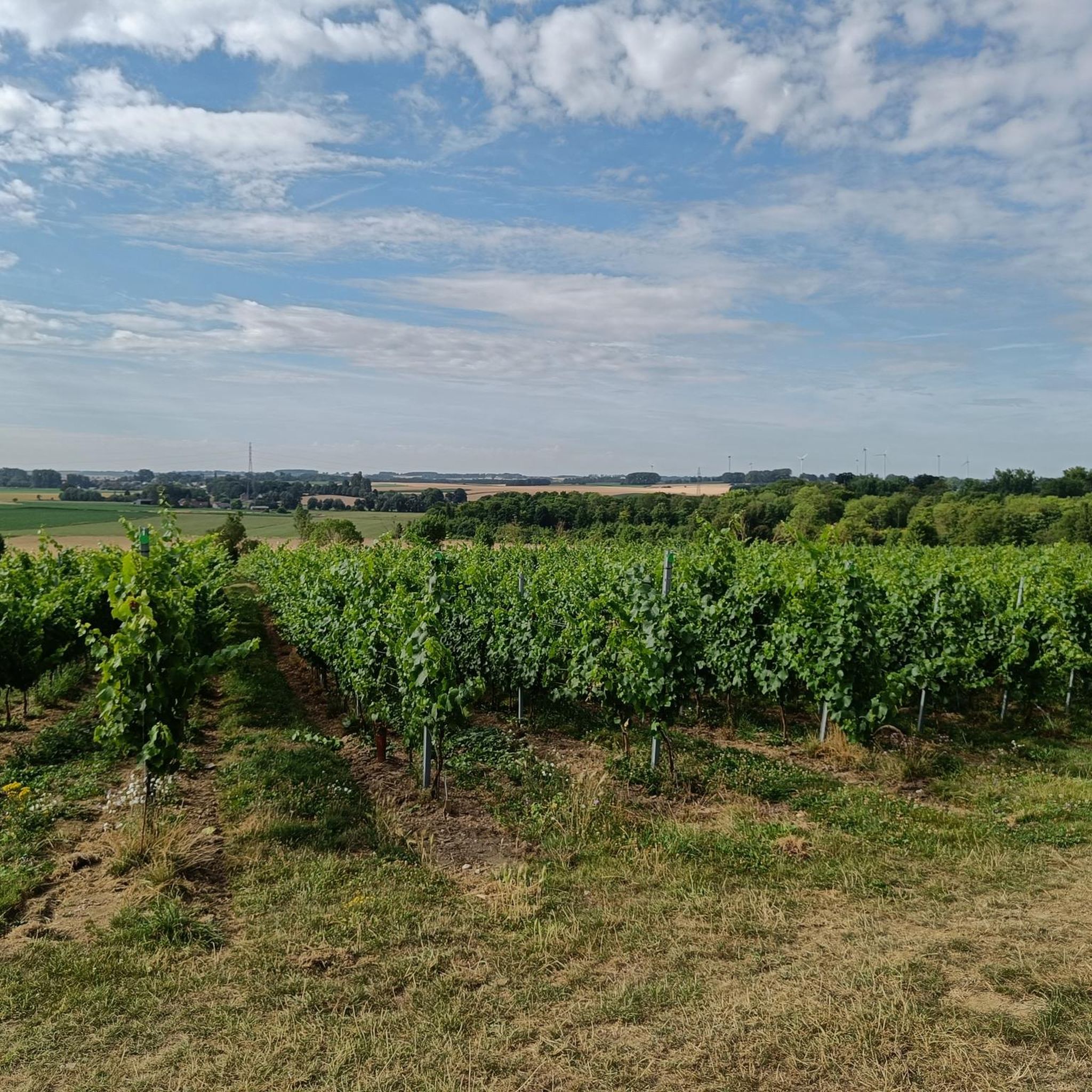
The vineyard is located in Haulchin, between Binche and Mons, on the so-called “Les Agaises” bed on a hillside very rich in limestone and facing south, over which Lord Ruffus reigned in the 12th century. It was in 2002, at a time when Belgian viticulture was quite confidential, that the first two hectares of Chardonnay were planted on a unique terroir, that of “Terres Blanches”. The estate, the very first in Wallonia intended exclusively for the production of sparkling wines, a true spearhead of the wine revival in Belgium, has gradually expanded to reach more than 35 hectares today.
0
0

Built towards the end of the 13th century, located near an enclave of the principality of Liège, the castle defended the border. Important witness to the medieval military architecture of Hainaut.
0
0

THE LEVEAU FORT Fort Leveau is one of six forts (Sarts, Boussois, Cerfontaine, Bourdiau, Hautmont and Leveau) built on the outskirts of Maubeuge to protect the border. It was built between 1882 and 1884 according to the defense principles of General Séré de Rivières. Now owned by the town of Feignies, it is one of the last witnesses to the Battle of Maubeuge in August-September 1914. The Fort de Leveau museum is largely devoted to the First World War. From local history to a more global vision of the conflict, the daily life of the soldiers and the living conditions of the Poilus are presented from the first days of the war in the forts to the mud of the trenches. The Fort de Leveau Safeguarding Association ensures the safeguarding and enhancement of this fort. The dormant bridge, destroyed by a shell on September 7, 1914, was rebuilt with the support of the Agglomeration, 100 years later with respect for heritage. Association Safeguarding the Fort of Leveau B.P. 51068 FEIGNIES 59606 MAUBEUGE CEDEX Such. / Fax: +33(0)3 27 62 37 07 Email: contact@fortdeleveau.fr URL: http://fortdeleveau.fr/
0
0

Go and have a taste of the local sparkly wine Ruffus.
1
0
Nice vineyard, you can taste the local sparkly wine Ruffus.
1
0
Frequently Asked Questions
How many road cycling routes are available around Villers-Sire-Nicole?
There are nearly 300 road cycling routes around Villers-Sire-Nicole documented on komoot. This extensive network offers a wide variety of options for cyclists of all levels.
What kind of terrain can I expect on road cycling routes in Villers-Sire-Nicole?
The region around Villers-Sire-Nicole is characterized by rolling hills and lush forests, situated on the plateau of Bavay. You can expect gentle climbs and descents, with altitudes ranging from 83 to 142 meters. Many routes also feature open agricultural landscapes and scenic stretches alongside the Trouille River.
Are there routes suitable for beginners or those looking for an easy ride?
Yes, Villers-Sire-Nicole offers 53 easy road cycling routes. An excellent option is the Fort de Leveau – Le Prestige du Clothaire Café loop from Givry, which is 47.7 km long and features gentle elevation changes across the local plateau. Another easy choice is the Le Prestige du Clothaire Café – Fort de Leveau loop from Givry, a 33.0 km trail through open countryside.
What are some moderate road cycling routes for more experienced cyclists?
For those seeking a moderate challenge, there are 223 routes available. Consider the Montée des Cents Pieds – Bois de Peissant loop from Grand-Reng, a 53.5 km path offering varied terrain through rolling hills and forested areas. Another popular moderate route is the Bois de Peissant – Côte du Canaris loop from Givry, which covers 68.9 km.
What natural features or landmarks can I see along the road cycling routes?
Road cycling routes in the area often pass by charming natural features and historical sites. You might encounter the scenic Trouille River, the tranquil Bois-l'Abbé forest, or various chapels. Notable attractions nearby include the beautiful Hyon Waterfall and Ponds and the historic Solre-sur-Sambre Castle.
Are there any historical points of interest to explore while cycling?
Yes, the region is rich in history. You can cycle past sites like the Fort de Leveau, a historical site that adds a cultural dimension to your ride. The village of Villers-Sire-Nicole itself has historical significance, with ancient churches and chapels like Notre-Dame de Bon Secours and Sainte Anne, which can be interesting points of discovery.
What do other road cyclists think about the routes in Villers-Sire-Nicole?
The road cycling routes in Villers-Sire-Nicole are highly rated by the komoot community, with an average score of 4.4 stars from over 50 reviews. Cyclists often praise the varied terrain, the mix of open agricultural landscapes, and the quiet sections through woodlands.
Is Villers-Sire-Nicole well-connected for cycling, especially with other regions?
Yes, the broader Hauts-de-France region, where Villers-Sire-Nicole is located, boasts a network of interconnecting bike paths, including the "points-nœuds" (node points) system, covering over 500 miles. This network allows cyclists to customize itineraries and connect to Flemish and Walloonian counterparts, offering extensive touring possibilities.
Are there any long-distance road cycling routes near Villers-Sire-Nicole?
While specific named long-distance routes are not detailed, the extensive network of bike paths and the "points-nœuds" system in the Hauts-de-France region allow for the creation of customized long-distance itineraries. You can connect various local routes to form longer journeys, extending into neighboring Belgian regions.
What is the best time of year for road cycling in Villers-Sire-Nicole?
The region's rolling hills and lush forests are enjoyable throughout the warmer months. Spring and autumn generally offer pleasant temperatures and beautiful scenery. Summer can also be ideal, with the Bois-l'Abbé forest potentially offering shaded sections on hotter days.
Are there any specific cultural or historical attractions that can be visited during a cycling trip?
Beyond the routes themselves, the area offers cultural enrichment. You could visit the SILEX'S Museum for a historical perspective, or explore the charming historical character of Villers-Sire-Nicole with its ancient churches and chapels. The nearby Abbey of Bonne-Espérance loop from Vellereille-le-Sec also suggests historical points of interest.
What kind of infrastructure is available for cyclists in the region?
The Hauts-de-France region is developing its cycling infrastructure, including the "points-nœuds" system, which helps cyclists navigate and customize routes. The local municipality has also actively re-opened and extended public paths, indicating a commitment to accessible outdoor spaces that complement cycling routes.
Most popular routes around Villers-Sire-Nicole
Most popular attractions around Villers-Sire-Nicole

Get inspired with the komoot mobile app


Explore more
Browse the best Road cycling routes in other regions.
