The best MTB trails around Villers-En-Cauchies
4.4
(200)
595
riders
101
rides
Mountain biking around Villers-En-Cauchies offers routes through a rural setting in the Cambrésis region, characterized by fertile soil and proximity to the Artois-Picardie basin. The landscape features calcareous layers and silt, with general routes that traverse the countryside. While not a prominent mountain biking hub, the area provides opportunities for outdoor recreation, including paths near the Forêt de Mormal.
Best mountain bike trails around Villers-En-Cauchies
- The most popular mountain bike trail is Small wooded path – Small village loop from…
Last updated: May 13, 2026
4.4
(9)
49
riders
45.2km
03:22
320m
320m
Moderate mountain bike ride. Good fitness required. Suitable for all skill levels.
4.3
(4)
16
riders
38.0km
02:35
230m
230m
Moderate mountain bike ride. Good fitness required. Suitable for all skill levels.

Sign up for free
4.2
(6)
8
riders
32.6km
02:07
220m
220m
Moderate mountain bike ride. Good fitness required. Suitable for all skill levels.
5.0
(1)
11
riders
41.8km
02:36
110m
110m
Moderate mountain bike ride. Good fitness required. Suitable for all skill levels.
9
riders
32.0km
02:18
200m
200m
Moderate mountain bike ride. Good fitness required. Suitable for all skill levels.
Get access to more routes and recommendations from other explorers.
Sign up for free
Already have an account?
Our route recommendations are based on thousands of hikes, rides, and runs completed by other people on komoot.
Start today with a free account
Your next adventure awaits.
Login or Signup



Tips from the Community

A very beautiful viewpoint overlooking Verchain-Maugré and the countryside southwest of Valenciennes
0
0


Cobbled section used by the Paris Roubaix a few years ago.
0
0

The Canal de la Sensée is a canal in northern France. The project was developed under Napoleon. In March 1806, the Imperial government ordered the construction of a canal connecting the Scarpe and the Scheldt. Work began under the direction of Augustin Honnorez in June 1819 and the Canal de la Sensée was opened to navigation in November 1820. Back then, the boats were pulled by men or horses who worked for ship owners. Shortly after World War I 1914-1918, horses were replaced by tractors. The Canal de la Sensée is part of the Dunkirk - Scheldt Canal.
3
0

Nice little single. Be careful though, because it is quite steep, with some roots, and leads to a road. In wet weather, it can also be very greasy.
1
0
Magnificent stroll to do at the edge of the water.
1
0
Very calm setting at the water's edge, ideal for a family walk.
0
0
Frequently Asked Questions
How many mountain bike trails are available around Villers-en-Cauchies?
There are over 100 mountain bike trails available around Villers-en-Cauchies. These routes cater to various skill levels, with 41 easy, 60 moderate, and 1 difficult trail.
What kind of terrain can I expect on mountain bike trails near Villers-en-Cauchies?
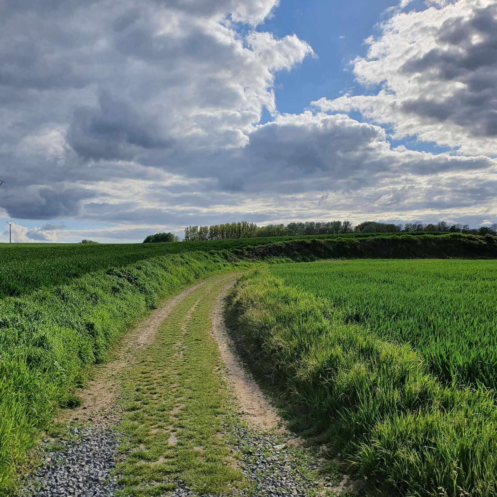
The terrain around Villers-en-Cauchies is primarily rural, characterized by fertile agricultural land, calcareous layers, and silt. You'll find paths winding through open fields, villages, and some wooded areas. The region is part of the Cambrésis, offering a mix of flat sections and gentle inclines.
Are there any family-friendly mountain bike trails in the area?
Yes, there are several family-friendly options. With 41 easy trails available, you can find routes suitable for various ages and skill levels. An example of an easier route is the Green Path – A little crossroads loop from Saint-Aubert, which is 22.1 km long and has minimal elevation gain.
What are the most scenic mountain bike routes around Villers-en-Cauchies?
While Villers-en-Cauchies is known for its rural charm rather than dramatic vistas, many routes offer pleasant countryside views. Trails often pass through small villages and agricultural landscapes. The Small wooded path – Small village loop from Montrécourt provides a mix of wooded sections and village scenery.
Are there any circular mountain bike trails near Villers-en-Cauchies?
Yes, many of the mountain bike trails in the area are designed as loops, allowing you to start and finish at the same point. Examples include the Green Path – Small village loop from Iwuy and the St Phyton trail – Back in the saddle loop from Avesnes-les-Aubert.
What can I see along the mountain bike trails or nearby?
While mountain biking, you'll primarily experience the rural landscape of the Cambrésis. For points of interest, you might encounter historical sites or structures. For example, the Bridge Over the Canal – Bassin Rond loop from Iwuy passes by a notable bridge. Other nearby attractions include the Porte Notre-Dame de Cambrai and the Country house of the Abbey of Saint-Aubert in Cambrai.
What do other mountain bikers say about the trails in Villers-en-Cauchies?
The mountain bike trails around Villers-en-Cauchies are highly rated by the komoot community, with an average score of 4.3 stars from over 150 reviews. Users often appreciate the quiet, rural setting and the variety of routes suitable for different abilities.
Is there parking available at the trailheads?
While specific parking information for every trailhead isn't always detailed, as a rural area, you can generally find parking in or near the villages where many routes begin, such as Montrécourt, Iwuy, or Avesnes-les-Aubert. It's advisable to check local signage or use navigation apps for specific starting points.
What is the best time of year to go mountain biking in Villers-en-Cauchies?
The best time to go mountain biking in Villers-en-Cauchies is typically during the spring, summer, and early autumn months. During these periods, the weather is generally more favorable, and the rural paths are less likely to be muddy. Always check local weather conditions before heading out.
Are there any longer mountain bike routes for experienced riders?
Yes, for riders looking for longer distances, there are several moderate routes that extend over 30 km. The Small wooded path – Small village loop from Montrécourt is a good option, covering 45 km, while the Bridge Over the Canal – Bassin Rond loop from Iwuy offers a 41.7 km ride.
Can I find mountain bike trails with significant elevation gain near Villers-en-Cauchies?
The Villers-en-Cauchies area, being part of the Cambrésis region, is generally characterized by a relatively flat to gently rolling landscape. While routes do include some elevation changes, they are typically moderate. For instance, the Small wooded path – Small village loop from Montrécourt has an elevation gain of around 318 meters over its 45 km length, offering a good workout without extreme climbs.
Are there any natural features or forests to explore by mountain bike?
While Villers-en-Cauchies itself is primarily rural, the broader region includes natural features. The Forêt de Mormal, located approximately 24 km east, is the largest forest in the region and offers opportunities for outdoor recreation, potentially including mountain biking on its paths. Some local routes, like the Small wooded path – Small village loop from Montrécourt, incorporate wooded sections.
Most popular routes around Villers-En-Cauchies
Most popular attractions around Villers-En-Cauchies

Get inspired with the komoot mobile app


Explore more
Browse the best MTB trails in other regions.
