The best road cycling routes around Lallaing
4.4
(158)
3,782
riders
452
rides
Road cycling routes around Lallaing traverse a landscape characterized by extensive forest areas, such as the Marchiennes State Forest, and open agricultural plains. The region features a generally flat to gently rolling topography, with occasional low hills providing modest elevation changes. Routes often follow river basins and connect small towns, offering varied scenery for road cyclists.
Best road cycling routes around Lallaing
- The most popular road cycling route is Marchiennes State Forest – Sector Pave Madiot loop from Montigny-en-Ostrevent,…
Last updated: May 21, 2026
4.0
(3)
34
riders
Moderate road ride. Good fitness required. Mostly well-paved surfaces and easy to ride.
4.0
(1)
17
riders
46.5km
01:54
80m
80m
Easy road ride. Great for any fitness level. Mostly well-paved surfaces and easy to ride.

Sign up for free
32
riders
124km
05:05
640m
640m
Hard road ride. Very good fitness required. Mostly well-paved surfaces and easy to ride.
11
riders
70.4km
02:56
380m
380m
Moderate road ride. Good fitness required. Mostly well-paved surfaces and easy to ride.
12
riders
33.2km
01:24
180m
180m
Easy road ride. Great for any fitness level. Mostly well-paved surfaces and easy to ride.
Get access to more routes and recommendations from other explorers.
Sign up for free
Already have an account?
Our route recommendations are based on thousands of hikes, rides, and runs completed by other people on komoot.
Start today with a free account
Your next adventure awaits.
Login or Signup


Tips from the Community

Two-time winner Marc Madiot has his own section with a beautiful column of cobblestones at the beginning
3
0

Magnificent..I love walking there to see the deer 😍
1
0

A Brief History Note. Roucourt Castle was built at the end of the 18th century by Monsieur Béranger, a cannon founder under the Empire. …During World War I, the castle was occupied by the squadron and men of Captain Baron Von Richthofen, known as the "Red Baron," who sheltered his planes in the avenue of over 100-year-old lime trees that precede the entrance gate. Destroyed by fire in 1918, it was rebuilt between 1921 and 1923 and restored in 1997 by Colette and Guy Becquet de Mégille, the current owners.
3
0

In the middle of the flat roads of the region, the Erchin pass is a delight for punchers. The climb remains accessible, however. It was not listed when the Tour de France passed through in 2022.
0
0

Relatively easy cobblestone strip, which is neat. Especially in Paris Roubaix (with its 3 extremely difficult 5-star sections, it's nice to have a normal one every now and then. Like this one. The nature/environment is somewhat desolate, so that won't warm you up :)
1
0

If you are on your bike for a long-distance cycling trip, this scene is wonderful.
2
0

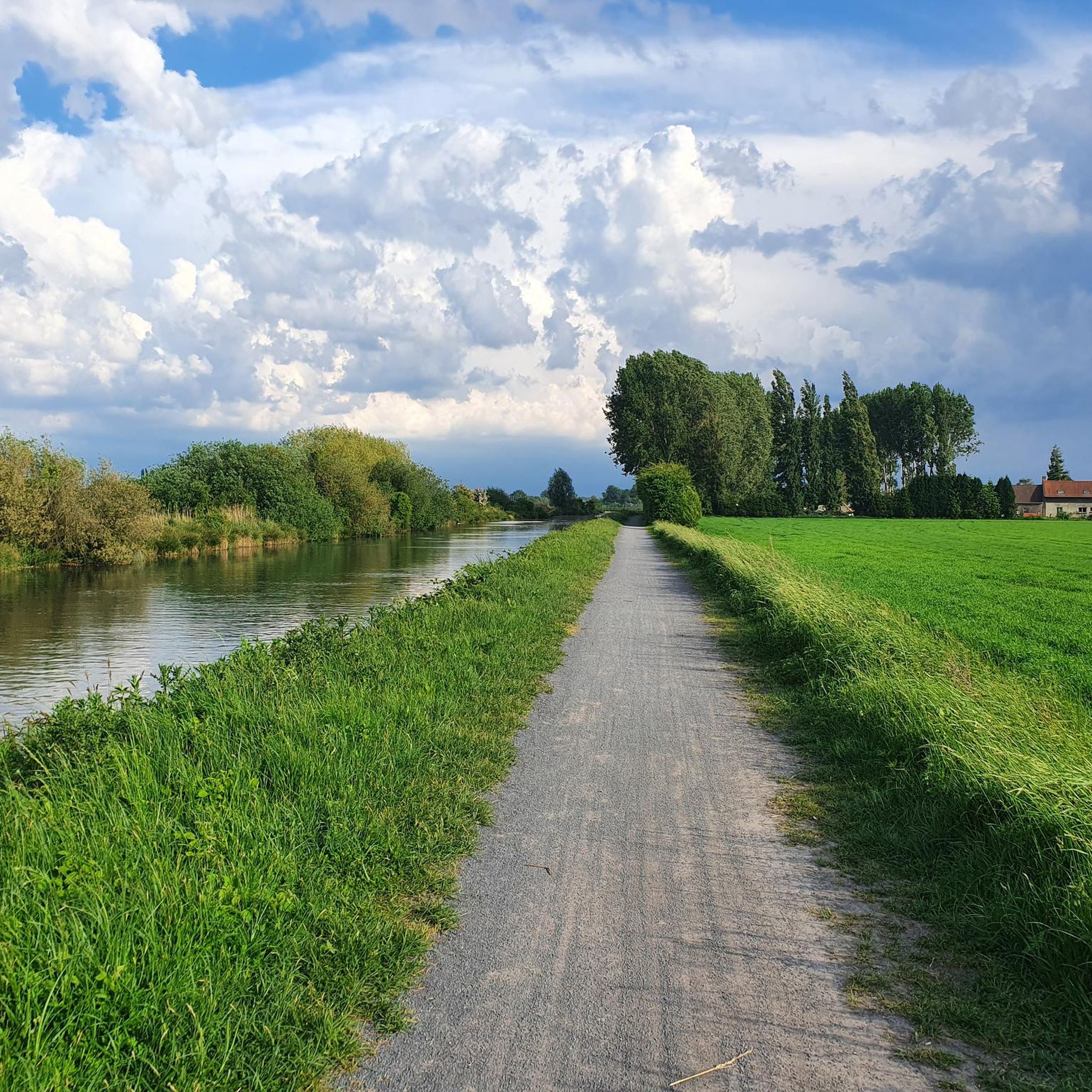
Superb paved road, well rolling. It winds through the middle of the green countryside.
1
1

Go in spring, summer and fall. Very beautiful forest for walks alone or with family.
0
0
Frequently Asked Questions
How many road cycling routes are available around Lallaing?
There are over 470 road cycling routes available around Lallaing on komoot, catering to various skill levels and preferences. This extensive network ensures plenty of options for exploration.
What is the general terrain like for road cycling in Lallaing?
The Lallaing region is characterized by a generally flat to gently rolling topography, featuring extensive forest areas like the Marchiennes State Forest and open agricultural plains. While mostly flat, some routes include occasional low hills that provide modest elevation changes, particularly towards the east.
Are there easy road cycling routes suitable for beginners in Lallaing?
Yes, Lallaing offers nearly 100 easy road cycling routes perfect for beginners or those seeking a relaxed ride. An excellent option is the Col d'Erchin – Height difference Erchin loop from Pecquencourt, which is 33.1 km long with moderate elevation gain.
Are there challenging road cycling routes for experienced cyclists in Lallaing?
For experienced cyclists looking for a challenge, Lallaing has 15 difficult routes. Consider the Round Basin – Thun-l'Évêque loop from Montigny-en-Ostrevent, which is 88.2 km long and features notable ascents, offering a more demanding ride.
What kind of distances can I expect on road cycling routes in Lallaing?
Road cycling routes around Lallaing vary significantly in length. You can find shorter rides, such as the 33.1 km Col d'Erchin – Height difference Erchin loop from Pecquencourt, up to longer excursions like the 88.2 km Round Basin – Thun-l'Évêque loop from Montigny-en-Ostrevent, with many options in between.
Are there loop routes for road cycling around Lallaing?
Yes, the majority of road cycling routes around Lallaing are designed as loops, allowing you to start and finish at the same point. Examples include the popular Marchiennes State Forest – Sector Pave Madiot loop from Montigny-en-Ostrevent and the Marchiennes State Forest – Corathier Picnic Area loop from Montigny-en-Ostrevent.
What do other cyclists enjoy about road cycling in Lallaing?
The road cycling routes in Lallaing are highly rated by the komoot community, with an average score of 4.4 stars from over 160 reviews. Cyclists often praise the varied scenery, which includes quiet woodlands and open agricultural plains, and the well-maintained paths that connect charming small towns.
Are there any scenic viewpoints or natural attractions along the road cycling routes?
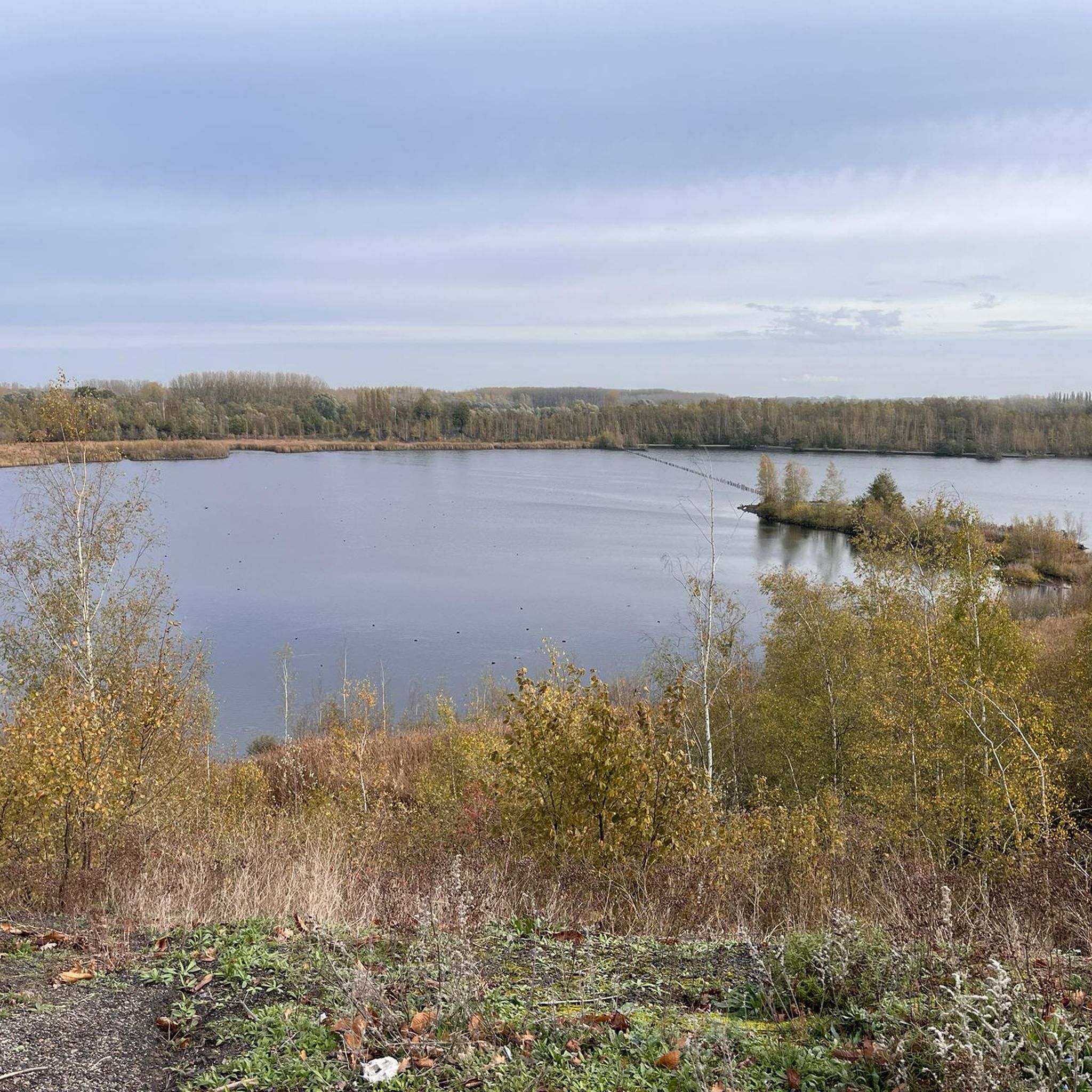
Yes, the region offers several natural attractions. You can cycle past the tranquil Étang des Argales, a beautiful lake, or explore routes near the Parc Jacques Vernier, which offers pleasant forest scenery. Many routes also traverse the Marchiennes State Forest, providing picturesque wooded sections.
What is the best time of year for road cycling in Lallaing?
The best time for road cycling in Lallaing is typically from spring to early autumn (April to October). During these months, the weather is generally mild and pleasant, with less rainfall, making for ideal cycling conditions through the forests and open plains.
Are there any routes that pass by places to stop for refreshments or a picnic?
Many routes are designed to pass through or near small towns where you can find cafes and shops. For instance, the Marchiennes State Forest – Corathier Picnic Area loop from Montigny-en-Ostrevent specifically passes by a picnic area, perfect for a mid-ride break.
What is the typical elevation gain on road cycling routes around Lallaing?
The Lallaing region is generally flat to gently rolling. Most routes feature modest elevation gains, often under 100 meters for shorter rides, such as the Marchiennes State Forest – Sector Pave Madiot loop with about 96 meters of ascent. However, some longer routes, like the Round Basin – Thun-l'Évêque loop, can have more significant climbs, reaching over 450 meters of elevation gain.
Most popular attractions around Lallaing

Get inspired with the komoot mobile app


Explore more
Browse the best Road cycling routes in other regions.
