The best walks and hikes around Flers-En-Escrebieux
4.5
(993)
5,213
hikers
322
hikes
Hiking around Flers-En-Escrebieux traverses a landscape shaped by both natural features and industrial heritage. The region features managed forests, such as Forêt de Phalempin, alongside re-purposed mining sites known as "terrils" (slag heaps). Hiking routes often incorporate waterways, including canals and the Scarpe river, and agricultural lands, providing varied scenery. The terrain generally offers gentle elevation changes, making it accessible for various activity levels.
Best hiking trails around Flers-En-Escrebieux
- The most popular hiking route is Escarpelle slag heap loop from…
Last updated: May 21, 2026
1.0
(1)
22
hikers
2.86km
00:48
50m
50m
Easy hike. Great for any fitness level. Easily-accessible paths. Suitable for all skill levels.
5.0
(1)
15
hikers
Hard hike. Very good fitness required. Easily-accessible paths. Suitable for all skill levels.

Sign up for free
4.3
(3)
25
hikers
7.03km
01:47
20m
20m
Easy hike. Great for any fitness level. Easily-accessible paths. Suitable for all skill levels.
5.0
(2)
11
hikers
Moderate hike. Good fitness required. Easily-accessible paths. Suitable for all skill levels.
5.0
(1)
10
hikers
8.99km
02:17
20m
20m
Moderate hike. Good fitness required. Easily-accessible paths. Suitable for all skill levels.
Get access to more routes and recommendations from other explorers.
Sign up for free
Already have an account?
Our route recommendations are based on thousands of hikes, rides, and runs completed by other people on komoot.
Start today with a free account
Your next adventure awaits.
Login or Signup

Tips from the Community

beautiful mountain bike playground
0
0

Livio for the record there must have been 6 of us after 3 and I did it alone 🤣🤣🤣
1
0

Passage over a bridge then at water level. Cool to do.
2
0

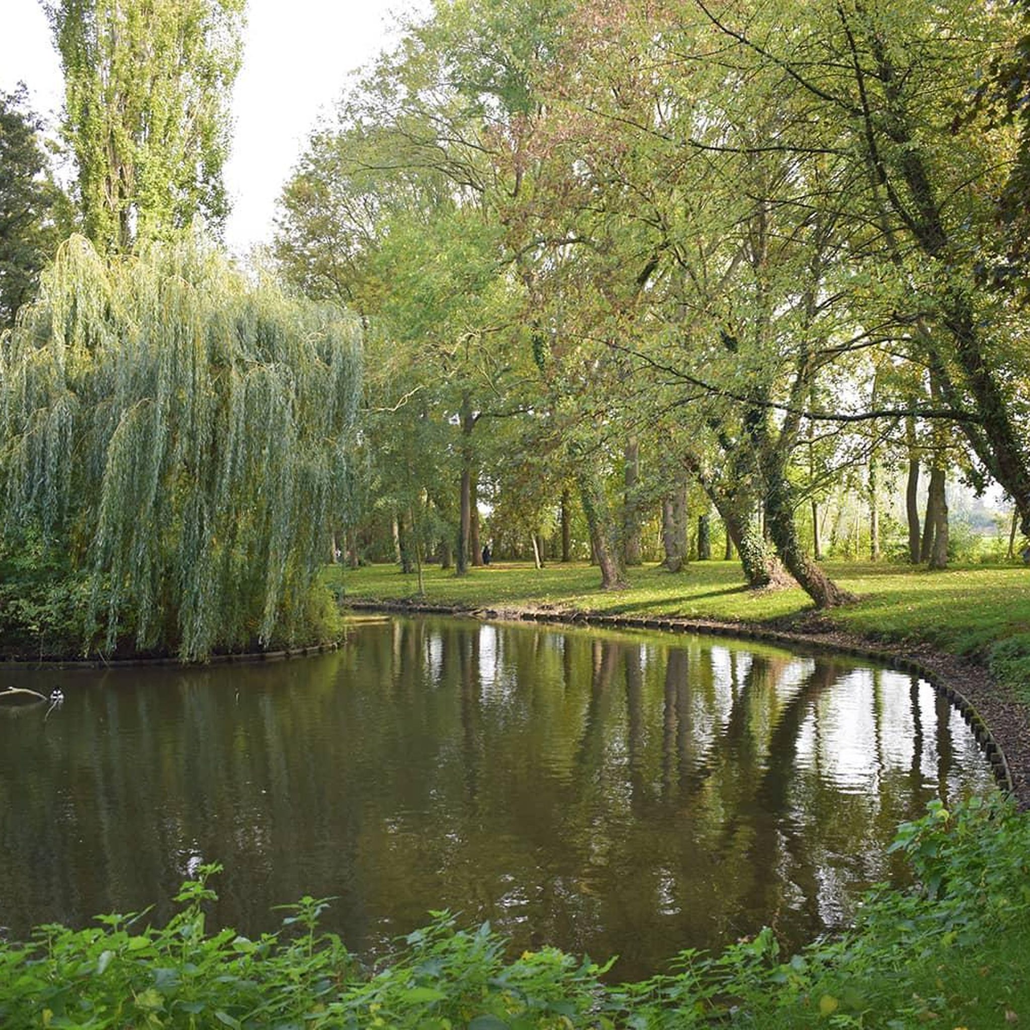
A very beautiful leisure park and beautiful route around 3km around the park and small woods.
0
0

The Jacques Vernier Park in Douai is a green space located in the heart of the city. It offers visitors an oasis of tranquility with its manicured gardens, winding paths and peaceful pond. This park is a place of relaxation appreciated by locals and tourists, offering activities such as walking, picnicking and nature contemplation.
0
0
Today, walk to Jacques Vernier Douai Park. The park is huge, with more than 40 hectares of greenery. There are trees, flowers, lawns, ponds... It's an ideal place to recharge your batteries and relax.
0
0
Frequently Asked Questions
How many hiking trails are available around Flers-En-Escrebieux?
There are over 300 hiking routes around Flers-En-Escrebieux, catering to various skill levels. You'll find a wide selection, from easy strolls to more challenging long-distance trails.
What kind of terrain can I expect on hikes in Flers-En-Escrebieux?
The terrain around Flers-En-Escrebieux is quite varied. You'll encounter managed forests like Forêt de Phalempin, unique re-purposed mining sites known as "terrils" (slag heaps), and paths along waterways such as canals and the Scarpe river. Many routes also traverse agricultural lands, offering a blend of natural and industrial heritage landscapes with generally gentle elevation changes.
Are there any easy hiking trails suitable for beginners or families?
Yes, Flers-En-Escrebieux offers over 150 easy hiking trails. A great option for a leisurely walk is the Trail de Gayant Path – Parc Jacques Vernier loop from Waziers, an easy 7 km path through parkland with minimal elevation gain. The "Lavoirs Walk 1/2 loop from Flers" is also mentioned as easily accessible and suitable for all skill levels.
Can I find circular walking routes in the area?
Many of the trails around Flers-En-Escrebieux are designed as circular routes, allowing you to start and end at the same point. Examples include the Escarpelle slag heap loop from Le Portus, which explores a unique re-purposed mining landscape, and the Chevalet D'Evin – Canal de Dunkerque à l'Escaut loop from Courcelles-lès-Lens, offering canal-side paths.
What are some notable landmarks or points of interest to see while hiking?
The region's industrial past has left unique landmarks. You can explore re-purposed mining sites like the Roost-Warendin Slag Heap 138 or the Ostricourt slag heap, which offer distinct landscapes and elevated viewpoints. The View of the mining basin and the hills of Artois is another highlight offering panoramic vistas.
Are there any long-distance hiking options near Flers-En-Escrebieux?
Yes, for those seeking longer adventures, sections of the GR 121 long-distance trail pass through the Forêt de Phalempin. Additionally, the "La Croisée des Chemins" is a more extensive 20 km loop that connects different circuits within the Douaisis region, providing a comprehensive view of the area's diverse landscapes.
What is the best time of year to go hiking in Flers-En-Escrebieux?
The diverse ecosystems, particularly in the Forêt de Phalempin, offer beautiful scenery throughout the seasons. Spring brings blooming flora, summer provides lush greenery, and autumn showcases vibrant fall colors. While specific recommendations depend on personal preference, the well-maintained trails make hiking enjoyable for much of the year.
What do other hikers enjoy most about hiking in Flers-En-Escrebieux?
The area is highly rated by the komoot community, with an average score of 4.5 stars from over 900 reviews. Reviewers often praise the varied terrain, which includes peaceful forests, unique slag heap landscapes, and pleasant canal-side paths, as well as the accessibility of routes for different fitness levels.
Are there any trails that highlight the region's water resources?
Yes, the "Chemin des Eaux" is a 19 km loop specifically designed to highlight the territory's water resources, offering a unique thematic hiking experience along canals and rivers. You can also find routes like the Chevalet D'Evin – Canal de Dunkerque à l'Escaut loop from Courcelles-lès-Lens that follow canal-side paths.
Are there any challenging hikes for experienced trekkers?
While many trails are easy to moderate, there are options for more experienced hikers. The Roost-Warendin Slag Heap 138 – Paturelles spoil tip loop from Roost-Warendin is a difficult 23.3 km route that provides a longer and more demanding experience, exploring the unique landscapes of the former mining sites.
Is there parking available at the trailheads?
Many trailheads and popular hiking areas, especially around the Forêt de Phalempin, offer designated parking facilities. It's always advisable to check specific route details on komoot for parking information related to your chosen starting point.
Can I access hiking trails using public transport?
The region has a network of trails, and while specific public transport links to every trailhead may vary, major towns and villages often have bus services. For routes within or near urbanized areas, public transport can be a viable option. Checking local transport schedules in advance is recommended.
Most popular routes around Flers-En-Escrebieux
Most popular attractions around Flers-En-Escrebieux

Get inspired with the komoot mobile app


Explore more
Browse the best Hikes in other regions.
