The best walks and hikes around Nivelle
4.4
(1886)
8,744
hikers
346
hikes
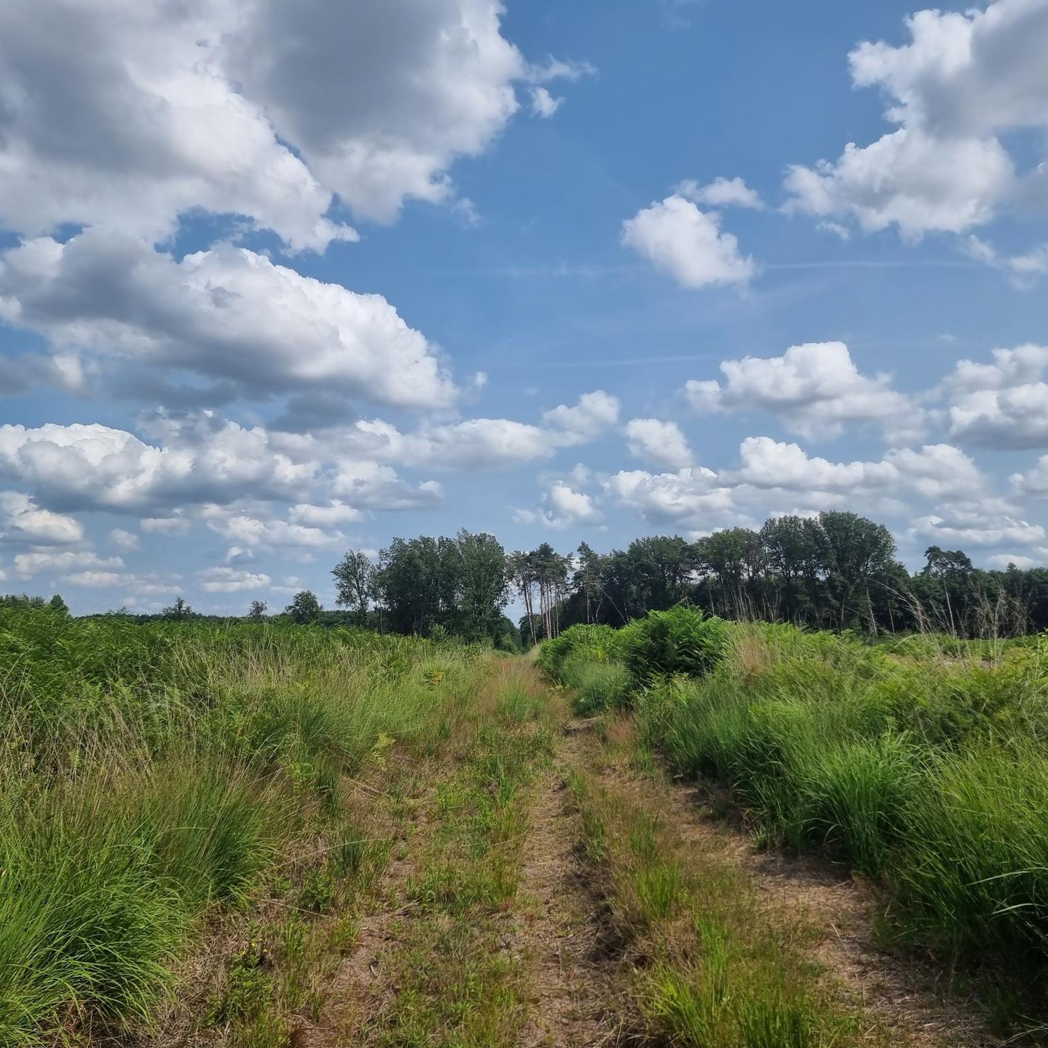
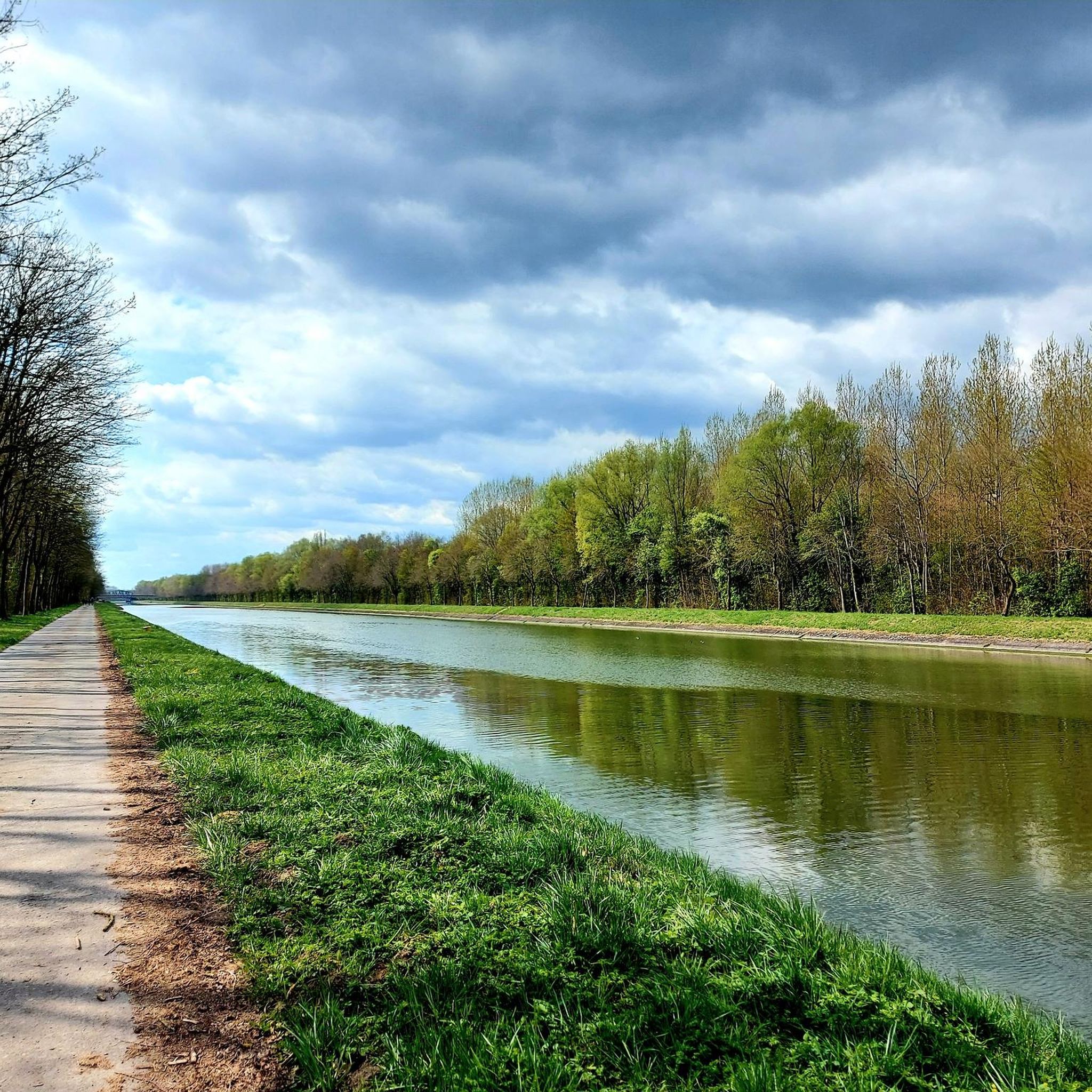
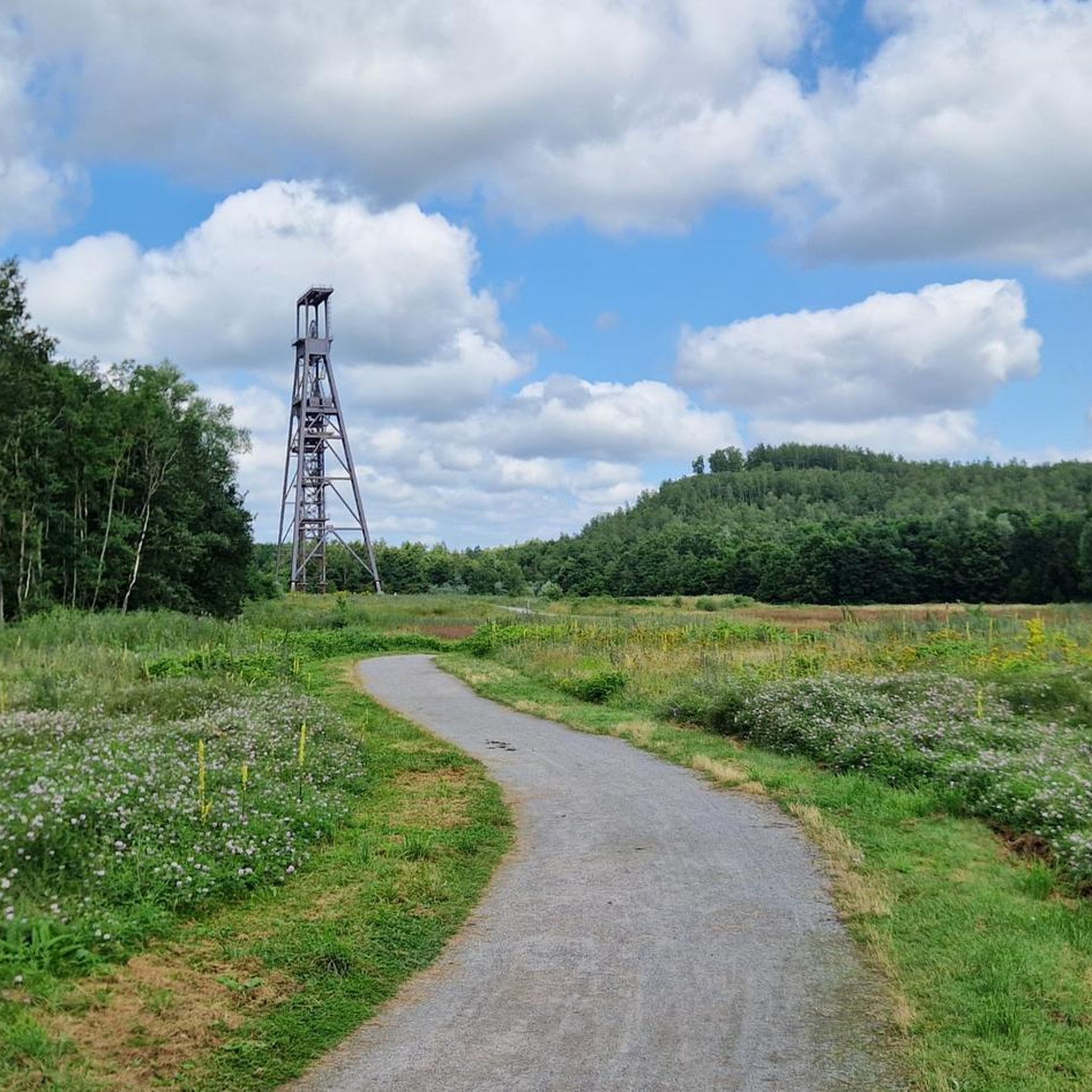
Hiking around Nivelle offers access to a network of trails characterized by low elevation changes. The landscape is shaped by forests and waterways, with routes often following rivers and canals such as the Scheldt and Scarpe. Notable natural features include peaceful ponds and managed forest reserves. This terrain provides opportunities for easy walks through varied natural settings.
Best hiking trails around Nivelle
- The most popular hiking route is Scheldt–Scarpe Confluence – Scarpe Lock loop from Château-l'Abbaye, a 4.9 miles…
Last updated: November 9, 2026
4.3
(13)
52
hikers
Easy hike. Easily walkable paths.
3.2
(5)
16
hikers
Easy hike. Easily walkable paths.

5.0
(2)
15
hikers
Moderate hike. Good fitness required. Easily walkable paths.
4.5
(6)
23
hikers
6.18km
01:34
10m
10m
Easy hike. Easily walkable paths.
4.5
(6)
24
hikers
5.29km
01:20
10m
10m
Easy hike. Easily walkable paths.
Get access to more routes and recommendations from other explorers.
Already have an account?
Our route recommendations are based on thousands of hikes, rides, and runs completed by other people on komoot.
Start today with a free account
Your next adventure awaits.

Tips from the Community

As you walk through the Raismes-Saint-Amand-Wallers Forest, you will come across many small, unnamed ponds that reflect the trees and the sky in winter and are covered in algae in summer.
1
0

8km course very good for a walk and nature.
0
0
Very beautiful natural site. 🤩
0
0


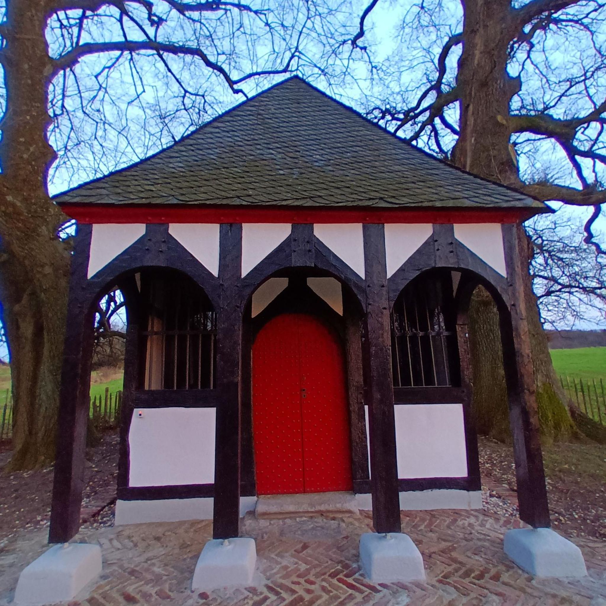
Very mobile and nice these forest houses at each corner of the forest
0
0

At the Scheldt/Scarpe confluence
1
0


Some beautiful nameless lakes on the south side of Forêt de Raisme
1
0
Frequently Asked Questions
How many hiking trails are available around Nivelle?
There are over 350 hiking routes around Nivelle, offering a wide range of options for different preferences and skill levels. Many of these routes are well-suited for easy walks through varied natural settings.
What kind of terrain can I expect on hikes in Nivelle?
Hikes in Nivelle are characterized by low elevation changes, making them generally accessible. The landscape features extensive forests, riverine paths along waterways like the Scheldt and Scarpe, and peaceful ponds. You'll find routes winding through managed forest reserves and open natural areas.
Are there easy hikes suitable for beginners in Nivelle?
Yes, Nivelle is an excellent area for beginners, with over 130 easy routes. Many trails feature minimal elevation gain and well-maintained paths. An example is the The forest – Raism Forest loop from Réserve biologique dirigée du Mont des Bruyères, an easy 4.2-mile (6.8 km) path through dense forest.
Are there challenging hikes in Nivelle?
While Nivelle is known for its gentle terrain, there are about 28 routes classified as difficult for those seeking a greater challenge. These trails might be longer or involve slightly more varied ground, though significant elevation changes are uncommon in the region.
Are the hiking trails in Nivelle suitable for families with children?
Absolutely. The low elevation changes and numerous easy routes make Nivelle ideal for family outings. Many trails pass through forests and by ponds, providing engaging scenery for children. The Scarpe Lock loop from Thun-Saint-Amand is an easy 3.3-mile (5.3 km) option that families might enjoy.
Can I bring my dog on the hiking trails in Nivelle?
Generally, dogs are welcome on most hiking trails in Nivelle, provided they are kept on a leash, especially in nature reserves or areas with wildlife. It's always a good idea to check local signage for any specific restrictions in certain protected areas.
Are there circular hiking routes in Nivelle?
Yes, many of the hiking routes in Nivelle are circular, allowing you to start and end at the same point without needing to retrace your steps. For instance, the popular Scheldt–Scarpe Confluence – Scarpe Lock loop from Château-l'Abbaye is a 4.9-mile (7.8 km) circular trail.
Are there any hikes that pass by water features or ponds?
Yes, the region is rich in waterways and ponds. Many routes follow the Scheldt and Scarpe rivers. You can also find trails leading past tranquil ponds, such as the Chemin notre dame – Peaceful little pond loop from Réserve biologique dirigée du Mont des Bruyères, which passes by a peaceful pond.
What natural attractions can I see while hiking around Nivelle?
While hiking, you can explore natural features like the Goriaux Pond and the expansive Bon-Secours State Forest. The region also features unique natural monuments such as the Menhir of Pierre Brunehault.
What is the typical duration for hikes in Nivelle?
Hike durations vary, but many popular routes range from 1.5 to 3 hours. For example, the Scarpe Lock loop from Château-l'Abbaye is about 3.9 miles (6.4 km) and typically takes around 1 hour 36 minutes to complete.
What is the best time of year to go hiking in Nivelle?
The best times for hiking in Nivelle are generally spring and autumn, when the weather is mild and the natural scenery is vibrant with blooming flowers or colorful foliage. Summer also offers pleasant conditions, especially for shaded forest walks. Winter hiking is possible, but some paths might be muddy.
What do other hikers say about the trails in Nivelle?
The trails in Nivelle are highly regarded by the komoot community, with an average rating of 4.4 stars from over 1,400 reviews. Hikers often praise the peaceful atmosphere, the well-maintained paths through forests, and the scenic views along the rivers and ponds.
Are there any historical or cultural landmarks near the hiking trails?
Yes, the area around Nivelle offers several points of interest. You might encounter historical sites like the Trouée d'Arenberg, a famous cobbled section, or the impressive Basilica of Our Lady of Bon-Secours. These can add a cultural dimension to your hike.
Most popular attractions around Nivelle

Get inspired with the komoot mobile app


Explore more
Browse the best Hikes in other regions.
