The best road cycling routes around Houplin-Ancoisne
4.4
(1023)
16,269
riders
662
rides
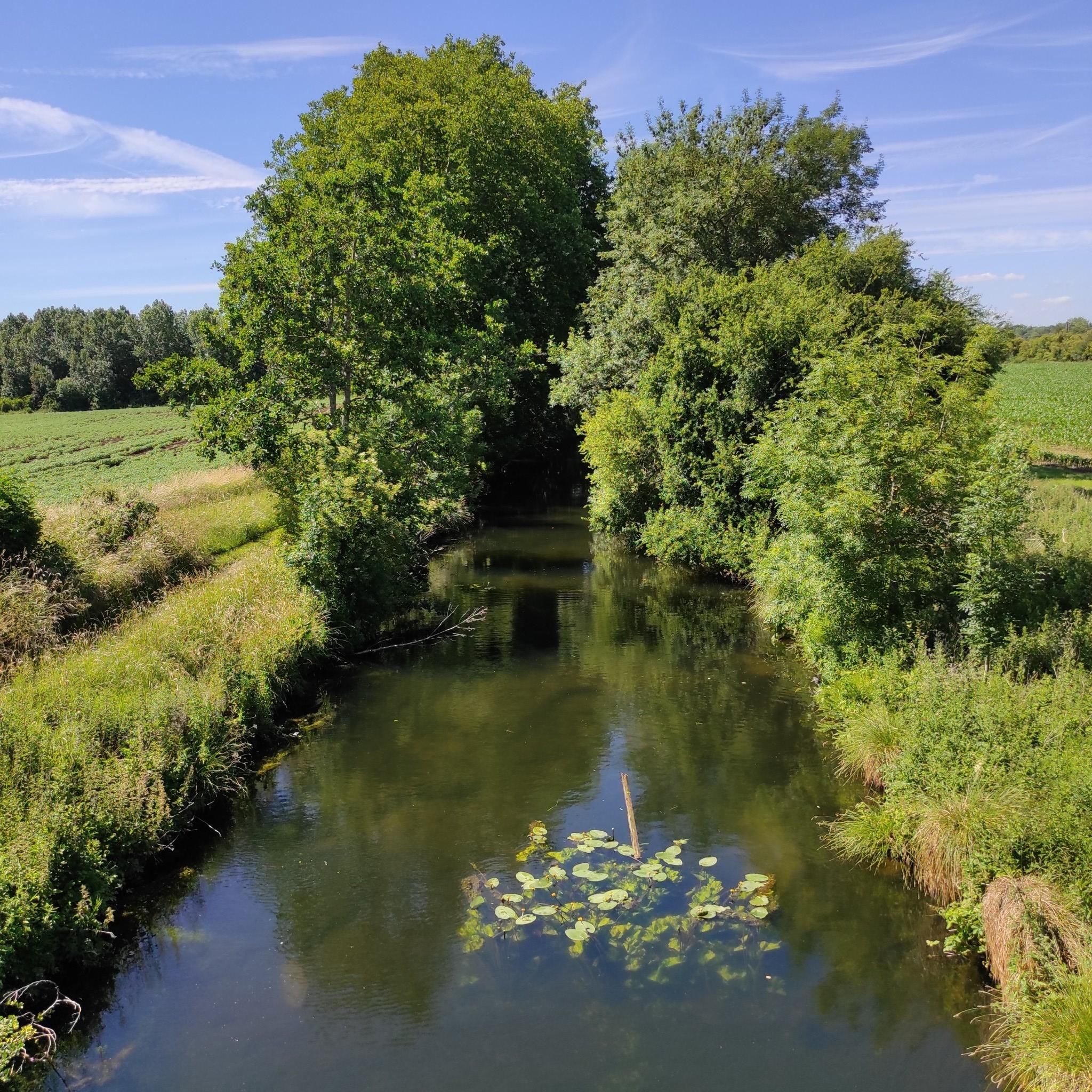
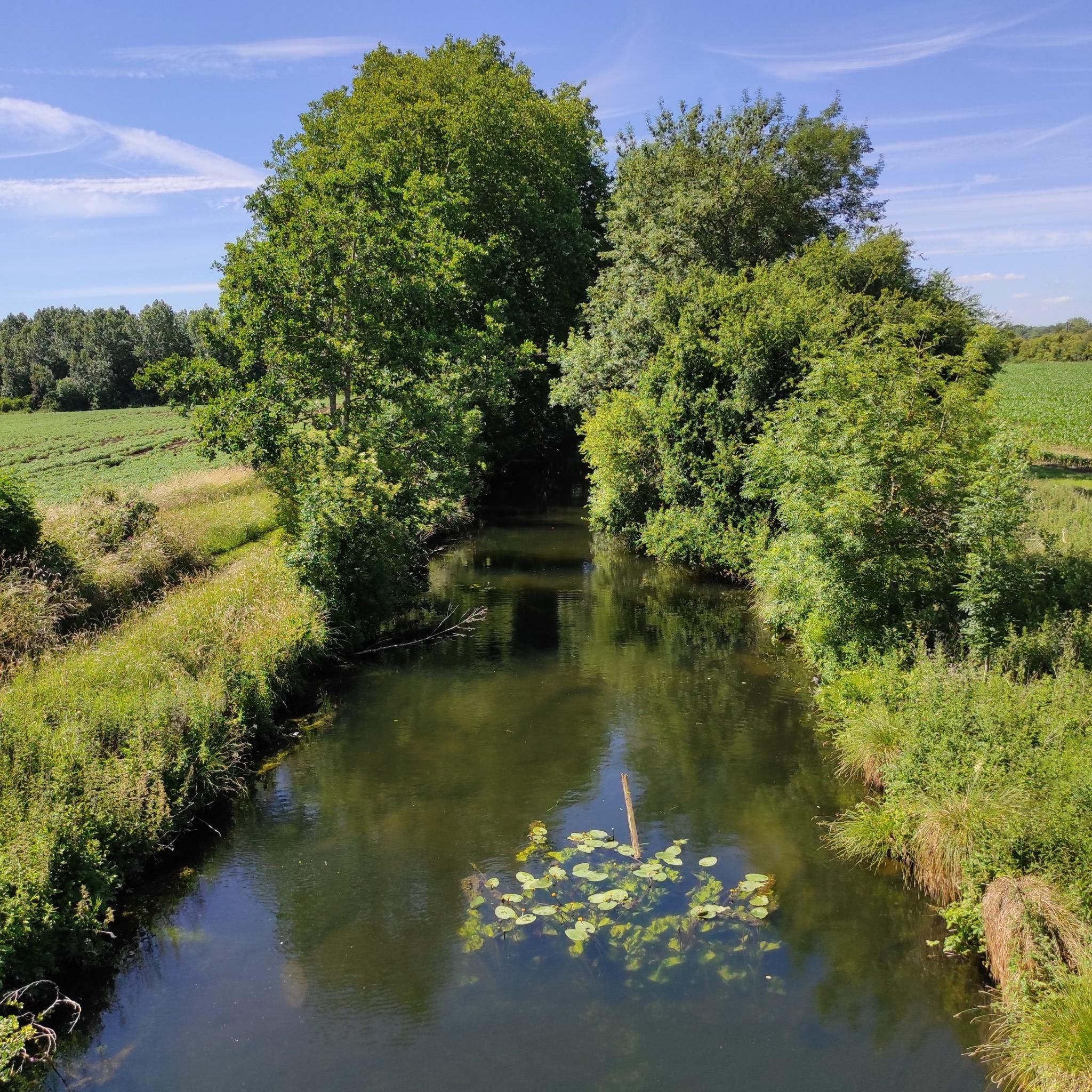
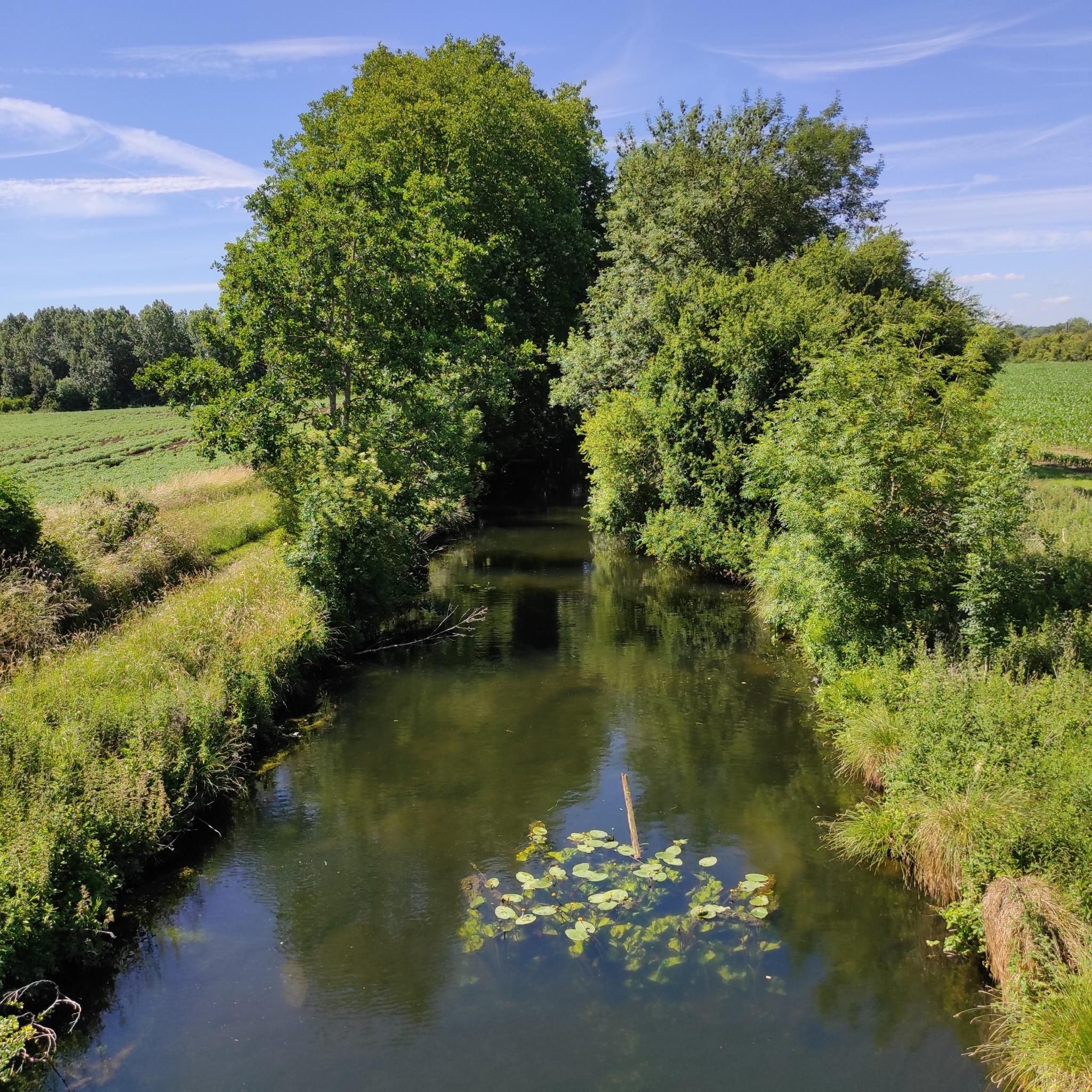
Road cycling around Houplin-Ancoisne is characterized by its generally low elevation gain and extensive green spaces. The region features a network of routes along the Deûle River and through areas like the Parc de la Deûle and La Canteraine Park. These natural features provide tranquil waterside views and shaded paths, making the area accessible for various fitness levels. The landscape primarily consists of open green spaces, canals, and forested areas.
Best road cycling routes around Houplin-Ancoisne
- The most popular road…
Last updated: May 16, 2026
4.0
(14)
46
riders
39.4km
01:39
150m
150m
Easy road ride. Great for any fitness level. Mostly well-paved surfaces and easy to ride.
5.0
(2)
152
riders
78.1km
03:13
270m
270m
Moderate road ride. Good fitness required. Mostly well-paved surfaces and easy to ride.

Sign up for free
4.0
(3)
131
riders
85.9km
03:32
280m
280m
Moderate road ride. Good fitness required. Mostly well-paved surfaces and easy to ride.
76
riders
Moderate road ride. Good fitness required. Some segments of this route may be unpaved and difficult to ride.
5.0
(3)
100
riders
48.8km
02:00
190m
190m
Easy road ride. Great for any fitness level. Mostly well-paved surfaces and easy to ride.
Get access to more routes and recommendations from other explorers.
Sign up for free
Already have an account?
Our route recommendations are based on thousands of hikes, rides, and runs completed by other people on komoot.
Start today with a free account
Your next adventure awaits.
Login or Signup

Tips from the Community

The battle of Fromelles on 19 July 1916 was a bloody initiation for Australian soldiers to warfare on the Western Front. Soldiers of the newly arrived 5th Australian Division, together with the British 61st Division, were ordered to attack strongly fortified German front line positions near the Aubers Ridge in French Flanders. The attack was intended as a feint to hold German reserves from moving south to the Somme where a large Allied offensive had begun on 1 July. The feint was a disastrous failure. Australian and British soldiers assaulted over open ground in broad daylight and under direct observation and heavy fire from the German lines. Over 5,500 Australians became casualties. Almost 2,000 of them were killed in action or died of wounds and some 400 were captured. This is believed to be the greatest loss by a single division in 24 hours during the entire First World War. Some consider Fromelles the most tragic event in Australia’s history. https://www.awm.gov.au/articles/encyclopedia/fromelles
0
0

This British cemetery and memorial were built in memory of the Australian soldiers who died during the Battle of Fromelles on 19-20 July 1916. There are 410 Australian soldiers buried here, none of whom have been identified. Although the graves are individual, they are not marked with individual headstones, but the names of some 1,200 missing are recorded on the Memorial, a memorial wall at the rear of the cemetery. Two large concrete crosses have been placed on the grassed area. In front of the memorial wall is the Cross of Sacrifice.
7
0

Near the front line in 1916, a fierce battle was fought between the British (Australians) and the Germans. To commemorate 'la bataille' and the wounded who were brought back from the battlefield, a monument/statue was erected here.
1
0
Anecdote: During the battle, Sergeant Simon Fraser heard a wounded soldier cry out, "Don't forget me, cobber!" Despite the danger, Fraser returned to the battlefield to save the man, an act of bravery that was later immortalized in the statue. This event emphasizes the sacrifice and strong bond between soldiers during the horrors of war.
7
0
The Cobbers Australian Memorial is located in the Australian Memorial Park near Fromelles. This memorial commemorates the Australian soldiers who died during the Battle of Fromelles on 19-20 July 1916. The statue, designed by Peter Corlett, shows Sergeant Simon Fraser carrying a wounded comrade out of no man's land. The name "Cobbers" comes from a letter Fraser wrote, describing the bravery and camaraderie of the soldiers.
7
0
Le Trou Aid Post Cemetery was established in October 1914 by British soldiers of the 19th Infantry Brigade during the First Battle of Ypres. The cemetery initially contained 123 graves, but was expanded after the war. It now contains over 350 graves, of which over 200 are unknown. The cemetery commemorates soldiers who died in a number of battles, including Le Maisnil (October 1914), Aubers Ridge (May 1915), Loos (September–October 1915), and Fromelles (July 1916). A special feature of the cemetery is its rural setting, surrounded by a narrow moat and sheltered by a grove of weeping willows. Visitors reach the cemetery via a footbridge and enter through a delicate cottage-style gate.
7
0

Pavement of Calvary! What a fitting name for this section of northern hell.
0
0

Frequently Asked Questions
How many road cycling routes are available around Houplin-Ancoisne?
There are nearly 700 road cycling routes available around Houplin-Ancoisne on komoot, catering to various skill levels. You'll find a wide selection of tours, from easy rides to more challenging excursions.
What is the typical terrain and elevation like for road cycling in Houplin-Ancoisne?
Road cycling around Houplin-Ancoisne is characterized by its generally low elevation gain, making it accessible for various fitness levels. The landscape primarily consists of open green spaces, canals, and forested areas, offering tranquil waterside views and shaded paths. While most routes are relatively flat, some, like the Mount Kokereel – Mont Noir (West) loop from Santes, include gentle hills for a varied experience.
Are there any family-friendly road cycling routes in the area?
Yes, the region's generally low elevation gain and well-maintained paths make it suitable for family cycling. Routes along the Deûle River and within the Parc de la Deûle are particularly good choices, offering serene waterside views and shaded sections away from heavy traffic. The La Carembault — Seclin loop is an easy option that offers tranquil waterside views.
What kind of natural features and landmarks can I see along the road cycling routes?
Road cycling routes in Houplin-Ancoisne often pass through significant green spaces like the Parc de la Deûle and Canteraine Park, known for its preserved meadows and diverse flora. You'll also find routes following the Deûle River, offering serene waterside views. While cycling, you might encounter historical sites such as the Citadel Pasture or the Napoleon Bridge, adding cultural interest to your ride.
Are there any long-distance road cycling routes near Houplin-Ancoisne?
For those seeking longer distances, the region is part of the major European cycling route, EuroVelo 3 (Scandibérique), which offers a blend of city and countryside, riverside scenery, and heritage. Additionally, routes like the VC Corner Cemetery and Memorial – Le Trou Aid Post Cemetery loop from Santes cover over 113 km, providing a substantial ride through the area.
What is the best time of year to go road cycling in Houplin-Ancoisne?
The best time for road cycling in Houplin-Ancoisne is generally during the spring and autumn months when the weather is mild and comfortable. Summer can also be pleasant, especially for rides along shaded paths in areas like the Parc de la Deûle. Always check the local weather forecast before heading out.
Are there any circular road cycling routes available?
Yes, many of the road cycling routes around Houplin-Ancoisne are designed as loops, allowing you to start and end at the same point. Examples include the La Carembault — Seclin loop and the Climb of Mons-en-Pévèle – Phalempin Forest loop from Seclin, offering convenient options for exploring the region.
What do other road cyclists enjoy most about road cycling in Houplin-Ancoisne?
The area is highly rated by the komoot community, with an average score of 4.4 stars from over 1,000 reviews. Reviewers often praise the tranquil waterside views, the extensive green spaces, and the varied terrain that caters to different ability levels, from easy canal-side rides to routes with gentle hills.
Are there routes that pass through forested areas?
Absolutely. The region features several routes that lead through forested areas, providing a varied cycling experience and shaded paths. A notable example is the Phalempin Forest – Le pas Roland loop from Seclin, which offers a refreshing ride through woodland.
Where can I find parking for cyclists near the routes?
While specific parking areas for cyclists are not detailed, many routes start from towns like Seclin or Santes, where public parking is generally available. For routes within the Parc de la Deûle, look for designated parking areas near park entrances or visitor centers like the Relais Nature du Parc de la Deûle.
Can I access road cycling routes using public transport?
Houplin-Ancoisne and nearby towns are part of the Métropole Européenne de Lille (MEL) public transport network. While specific details for transporting bikes on public transport vary, you can often reach starting points of routes via local buses or trains, depending on the service and time of day. It's advisable to check the local transport operator's website for their bike policy.
Are there any challenging road cycling routes for experienced riders?
While the region is known for its low elevation, there are routes that offer a more challenging experience. For instance, the Climb of Mons-en-Pévèle – Phalempin Forest loop from Seclin includes some elevation gain, and longer routes like the Mount Kokereel – Mont Noir (West) loop from Santes provide a good test of endurance over their 80 km distance.
Most popular routes around Houplin-Ancoisne
Most popular attractions around Houplin-Ancoisne

Get inspired with the komoot mobile app


Explore more
Browse the best Road cycling routes in other regions.
