The best cycling routes around Frelinghien
4.4
(1755)
18,473
riders
546
rides
Touring cycling routes around Frelinghien are situated within the Lys Valley in the Nord department of France. This region is characterized by its flat terrain and accessible paths, making it suitable for various cycling abilities. The landscape features lush riverbanks, open countryside, and connects to a broader cycling network that extends into neighboring Belgium. The area offers a blend of natural scenery and connections to local villages.
Best touring cycling routes around Frelinghien
- The most popular touring cycling route is…
Last updated: May 20, 2026
4.6
(16)
109
riders
25.3km
01:35
50m
50m
Easy bike ride. Great for any fitness level. Mostly paved surfaces. Suitable for all skill levels.
5.0
(6)
54
riders
22.4km
01:40
40m
40m
Easy bike ride. Great for any fitness level. Mostly paved surfaces. Suitable for all skill levels.

Sign up for free
4.3
(3)
33
riders
10.7km
00:39
20m
20m
Easy bike ride. Great for any fitness level. Mostly paved surfaces. Suitable for all skill levels.
18
riders
Easy bike ride. Great for any fitness level. Mostly paved surfaces. Suitable for all skill levels.
5.0
(2)
7
riders
29.7km
01:44
140m
140m
Easy bike ride. Great for any fitness level. Mostly paved surfaces. Suitable for all skill levels.
Get access to more routes and recommendations from other explorers.
Sign up for free
Already have an account?
Our route recommendations are based on thousands of hikes, rides, and runs completed by other people on komoot.
Start today with a free account
Your next adventure awaits.
Login or Signup
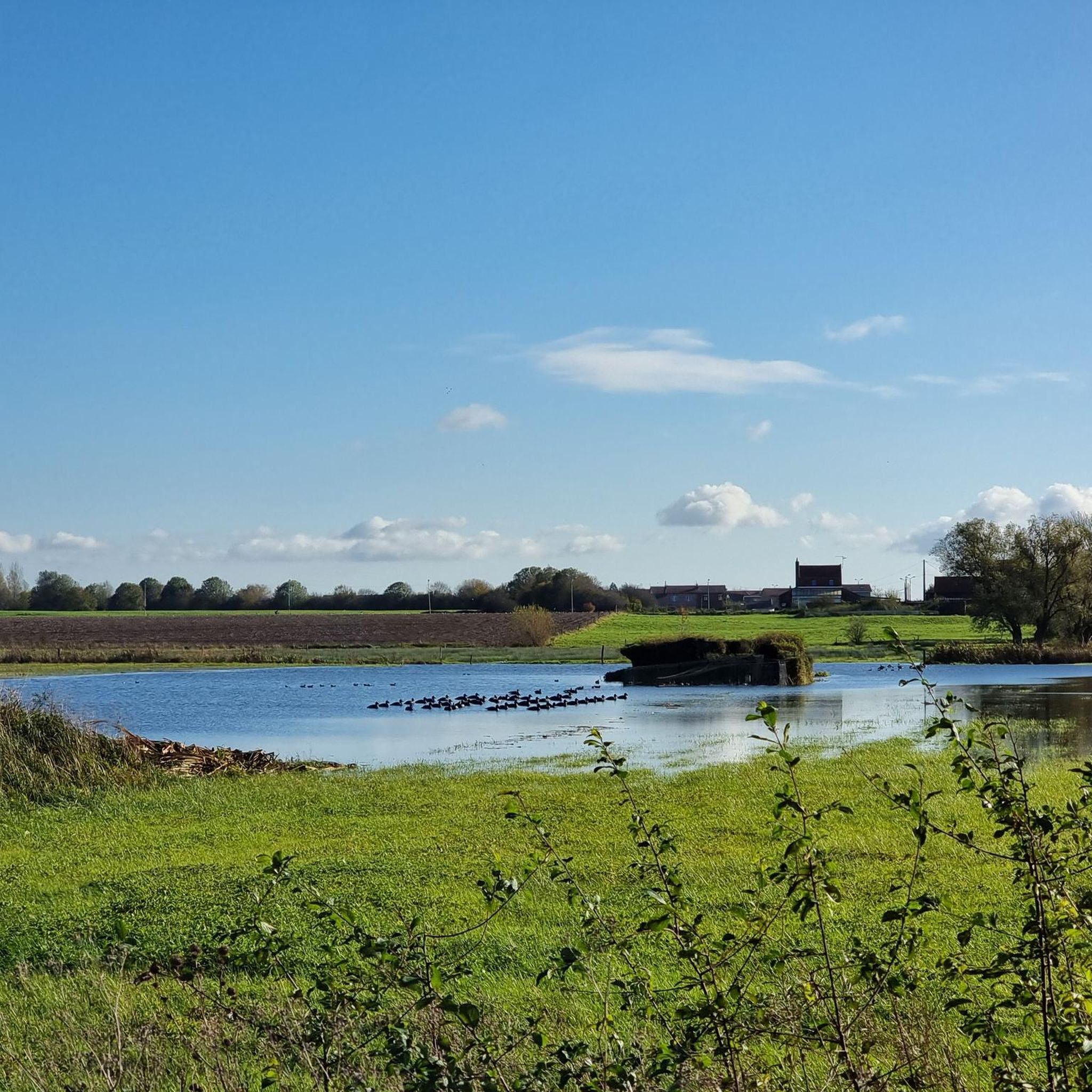
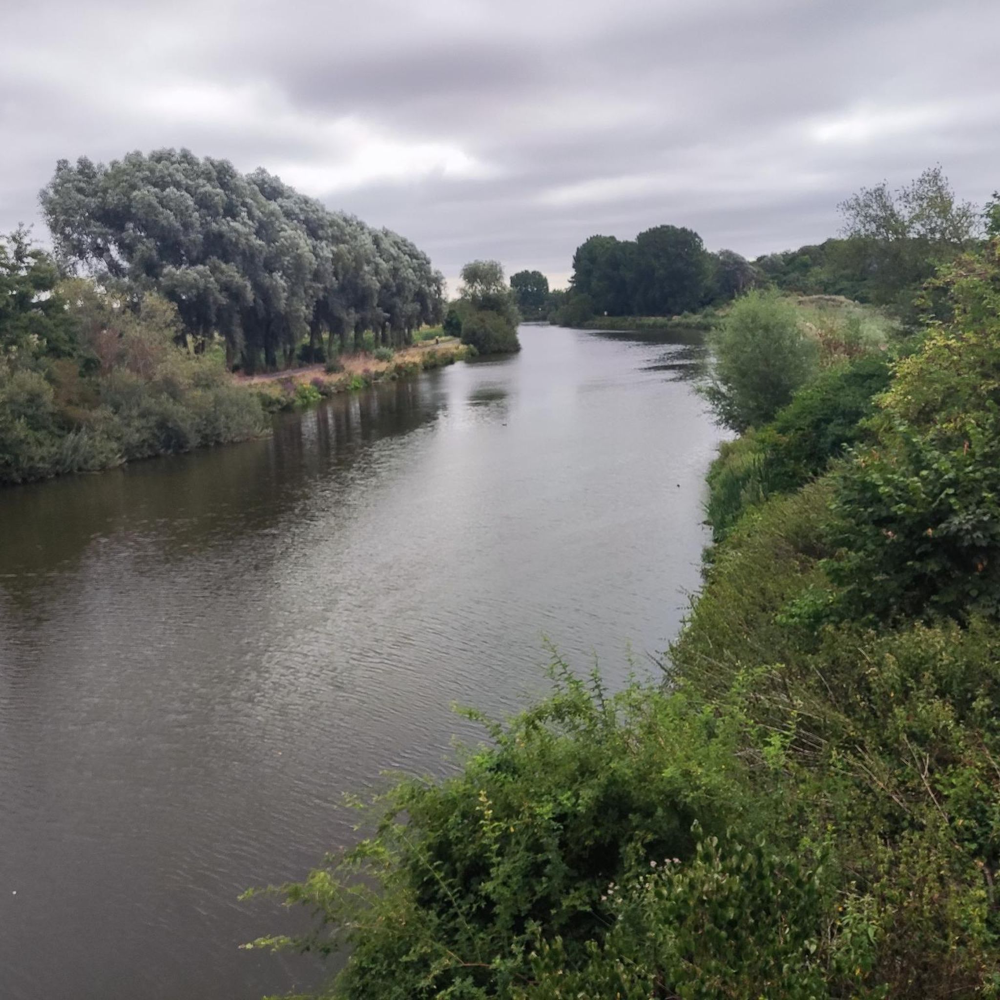
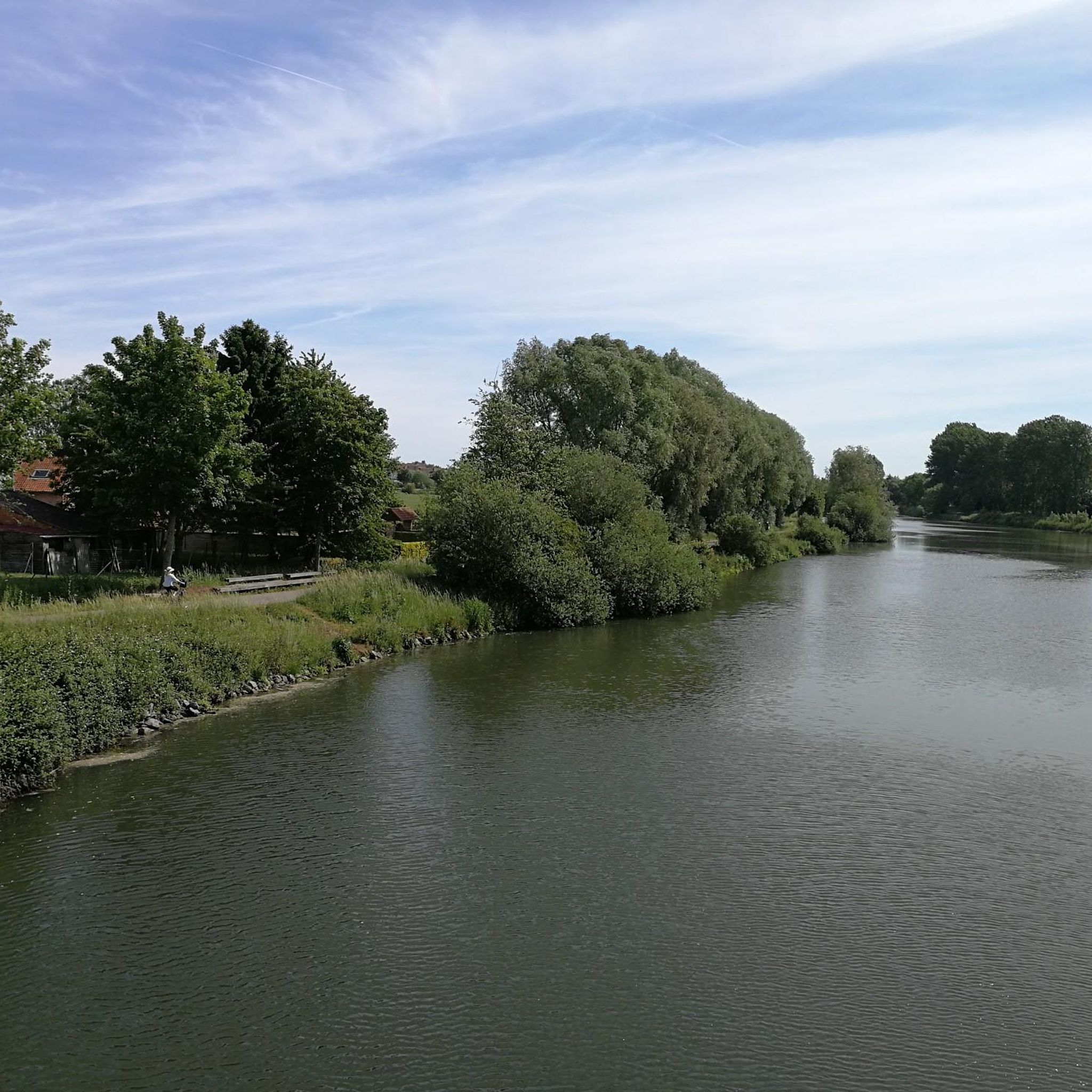
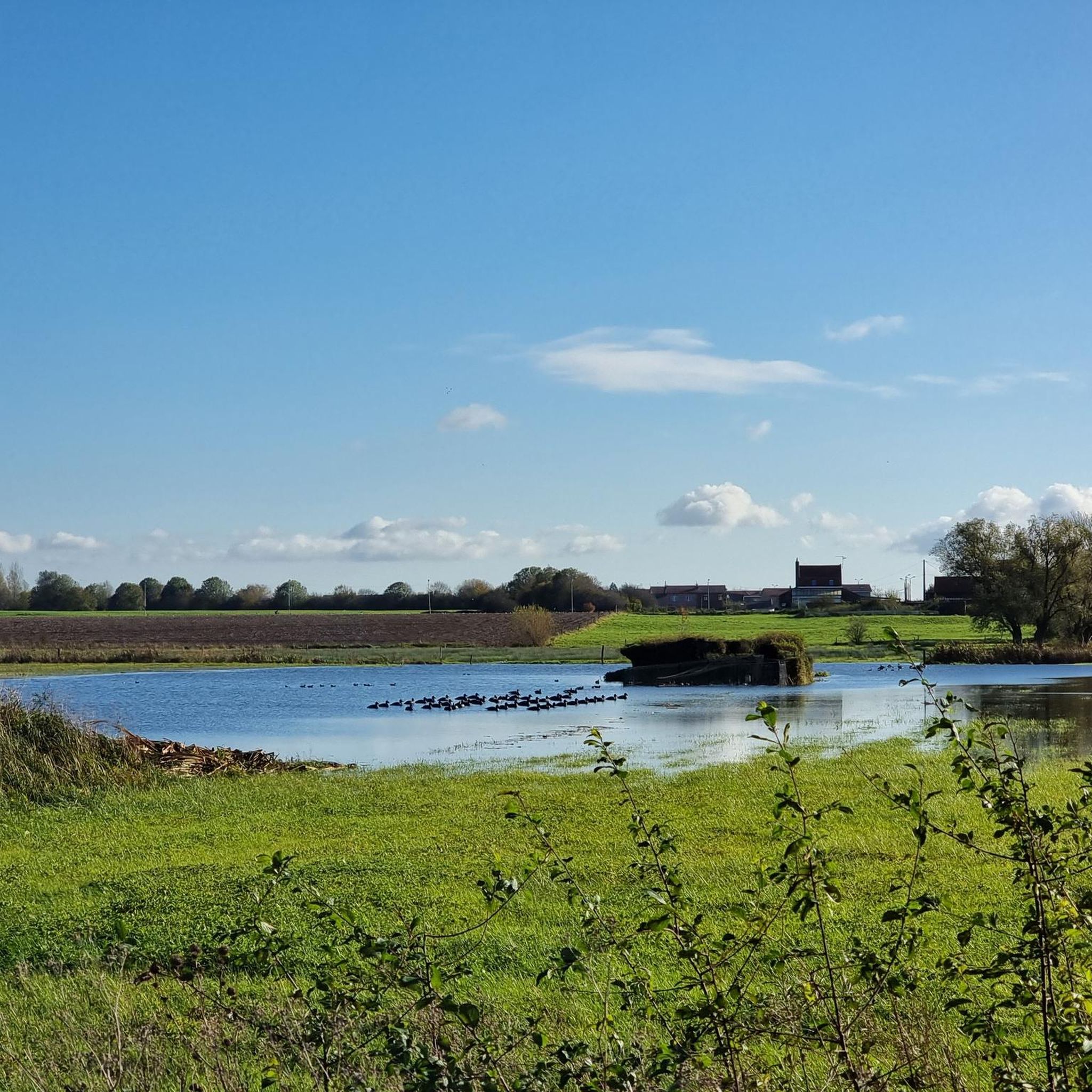

Tips from the Community

super route along the water
0
0

Very smooth gravel path. No particular difficulty.
0
0

At Christmas 1914, soldiers on both sides laid down their weapons here and even played football. There are explanations and a memorial here.
0
0

Better tarmac on this side of the Lys than on the other side.
0
0
Bad tarmac for inline skaters or longboarders. It is so much better along the Lys.
0
0

Beautiful railway cycle path, too bad France isn't well connected. There are also roads across the border, so all cycle paths should be like that too.
0
0
Beautiful bridge, beautiful views and border.
0
0

Frequently Asked Questions
How many touring cycling routes are available around Frelinghien?
There are over 560 touring cycling routes available around Frelinghien, offering a wide variety of options for cyclists. These routes are well-regarded by the komoot community, with an average rating of 4.4 stars.
What is the general difficulty level of touring cycling routes in Frelinghien?
The majority of touring cycling routes in Frelinghien are considered easy, with over 310 routes suitable for all skill levels. There are also around 170 moderate routes and 60 more challenging options for those seeking a longer duration or greater elevation gain.
What kind of landscape can I expect while cycling around Frelinghien?
Cycling around Frelinghien, you'll primarily experience the picturesque Lys Valley. The routes feature lush riverbanks, open countryside, and often follow the well-maintained towpath along the Lys River. The area is characterized by its flat terrain, making for generally accessible and enjoyable rides.
Are there many circular touring cycling routes in the Frelinghien area?
Yes, many touring cycling routes around Frelinghien are designed as loops, allowing you to start and finish in the same location. Examples include the Pont Rouge – Towpath of the Lys loop from Deûlémont and the Lys River Path – Pont Rouge loop from Houplines, which offer convenient circular journeys.
What cultural or historical sites can I explore along the touring cycling routes?
The touring cycling routes often connect charming Flemish villages and hidden heritage sites, providing opportunities for cultural discovery. You can also find historical points of interest like the Old Stock Exchange of Lille in nearby Lille, or the De Warande Castle. The proximity to the Belgian border also means you can easily explore attractions in both countries.
Are there any natural attractions or viewpoints to see while cycling?
Beyond the scenic Lys Valley itself, you can visit natural attractions such as Les Prés du Hem, located just 4km from Frelinghien. Another notable natural monument is the Pool of Peace (Spanbroekmolen Crater), which offers a poignant viewpoint.
Are the touring cycling routes around Frelinghien suitable for families?
Absolutely. Many routes around Frelinghien are easy and on mostly paved surfaces, making them ideal for families. The flat terrain and well-maintained paths, particularly along the Lys River towpath, ensure a safe and enjoyable experience for cyclists of all ages. The 'node network' system also allows for easy customization of routes to suit family preferences.
Can I bring my dog on the touring cycling routes in Frelinghien?
While specific regulations for dogs on cycling paths can vary, the natural and open character of the Lys Valley generally makes it suitable for cycling with dogs, provided they are well-behaved and kept on a leash where necessary. It's always a good idea to check local signage for any specific restrictions in certain areas. Frelinghien even has a local donkey sanctuary, adding to its animal-friendly charm.
What is the best time of year for touring cycling in Frelinghien?
The best time for touring cycling in Frelinghien is generally during the spring, summer, and early autumn months. The weather is typically milder and more pleasant, making for comfortable rides along the riverbanks and through the countryside. The lush greenery of spring and the vibrant colors of autumn add to the scenic beauty of the routes.
Are there places to eat or stay near the cycling routes in Frelinghien?
Yes, Frelinghien and its surrounding villages offer various options for refreshments and accommodation. You'll find local cafes, pubs, and restaurants in the picturesque Flemish villages that the routes often connect. For more extensive amenities, the nearby towns of Armentières (5km), Comines (8km), and Lille (13km) provide a wider selection of dining and lodging choices for touring cyclists.
How can I find parking for the touring cycling routes in Frelinghien?
Parking is generally available in Frelinghien and the starting points of many routes, such as Deûlémont or Houplines. As the area is well-integrated into a cycling network, local villages often have designated parking areas suitable for accessing the trails. It's advisable to check specific starting points for detailed parking information.
Can I access the touring cycling routes using public transport?
Frelinghien is situated near larger towns like Lille, which is a significant transport hub. While direct public transport to every trailhead might be limited, you can often reach the vicinity of the routes via regional buses or trains to nearby towns. From there, it's usually a short ride to connect with the extensive cycling network, including the Lys River paths.
What makes the 'node network' system in Frelinghien unique for cyclists?
The 'node network' (points-nœuds) system, common in the Hauts-de-France region and extending into Belgium, is a unique way to navigate. It allows cyclists to create customized routes by following numbered signs at intersections. This system provides immense flexibility, connecting over 500 miles of paths and making it easy to plan your own adventure without needing a detailed map for every turn.
Most popular routes around Frelinghien
Most popular attractions around Frelinghien

Get inspired with the komoot mobile app


Explore more
Browse the best Cycling routes in other regions.
