The best cycling routes around Lus-La-Croix-Haute
4.3
(49)
1,020
riders
74
rides
Touring cycling routes around Lus-La-Croix-Haute traverse a diverse landscape at over 1,100 meters altitude, situated within the Vercors Regional Natural Park. The region features a blend of alpine and southern French influences, characterized by lush forests, high pastures, and dramatic mountain ranges. Cyclists encounter varied topography, including deep gorges, river valleys, and significant elevation changes across the Trièves, Dévoluy, and Diois regions.
Best touring cycling routes around Lus-La-Croix-Haute
- The most popular touring cycling route is Châtillon-en-Diois – Saut de la…
Last updated: May 20, 2026
4.1
(9)
115
riders
52.2km
03:45
1,100m
1,100m
Hard bike ride. Very good fitness required. Mostly paved surfaces. Suitable for all skill levels.
4.3
(3)
58
riders
58.9km
04:26
1,480m
1,480m
Hard bike ride. Very good fitness required. Mostly paved surfaces. Suitable for all skill levels.

Sign up for free
5.0
(3)
51
riders
59.7km
04:25
1,400m
1,400m
Hard bike ride. Very good fitness required. Mostly paved surfaces. Suitable for all skill levels.
4.0
(1)
28
riders
26.3km
01:57
620m
620m
Hard bike ride. Very good fitness required. Mostly paved surfaces. Suitable for all skill levels.
5.0
(5)
37
riders
40.1km
02:45
730m
730m
Hard bike ride. Very good fitness required. Mostly paved surfaces. Suitable for all skill levels.
Get access to more routes and recommendations from other explorers.
Sign up for free
Already have an account?
Our route recommendations are based on thousands of hikes, rides, and runs completed by other people on komoot.
Start today with a free account
Your next adventure awaits.
Login or Signup
Popular around Lus-La-Croix-Haute

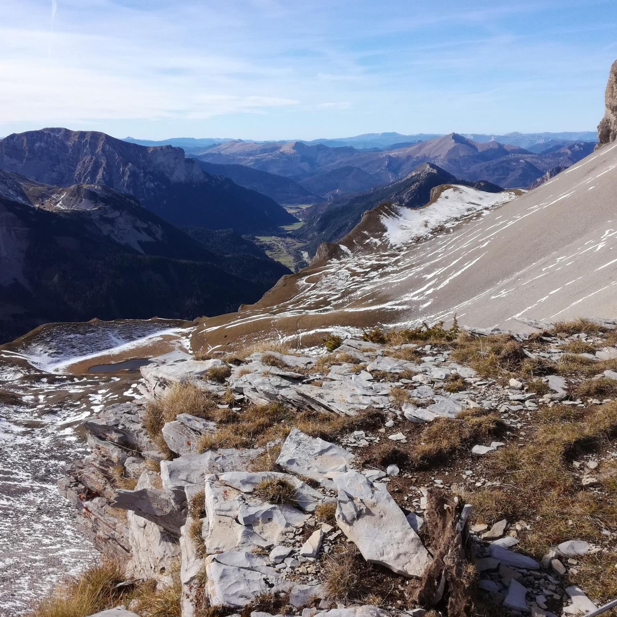
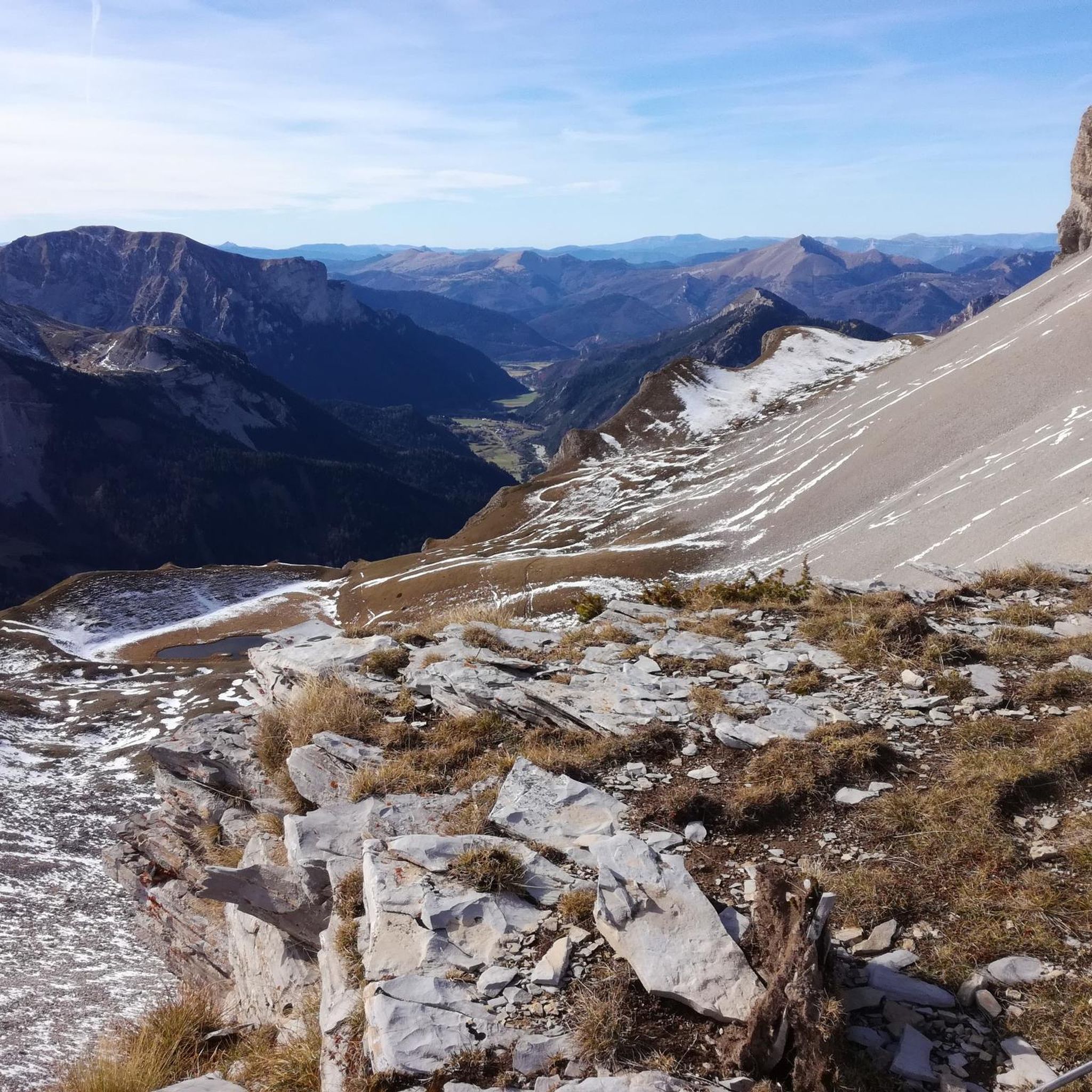
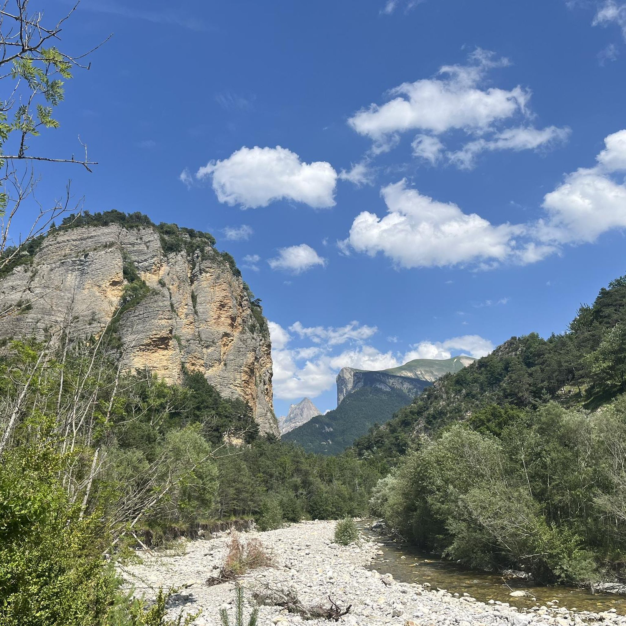
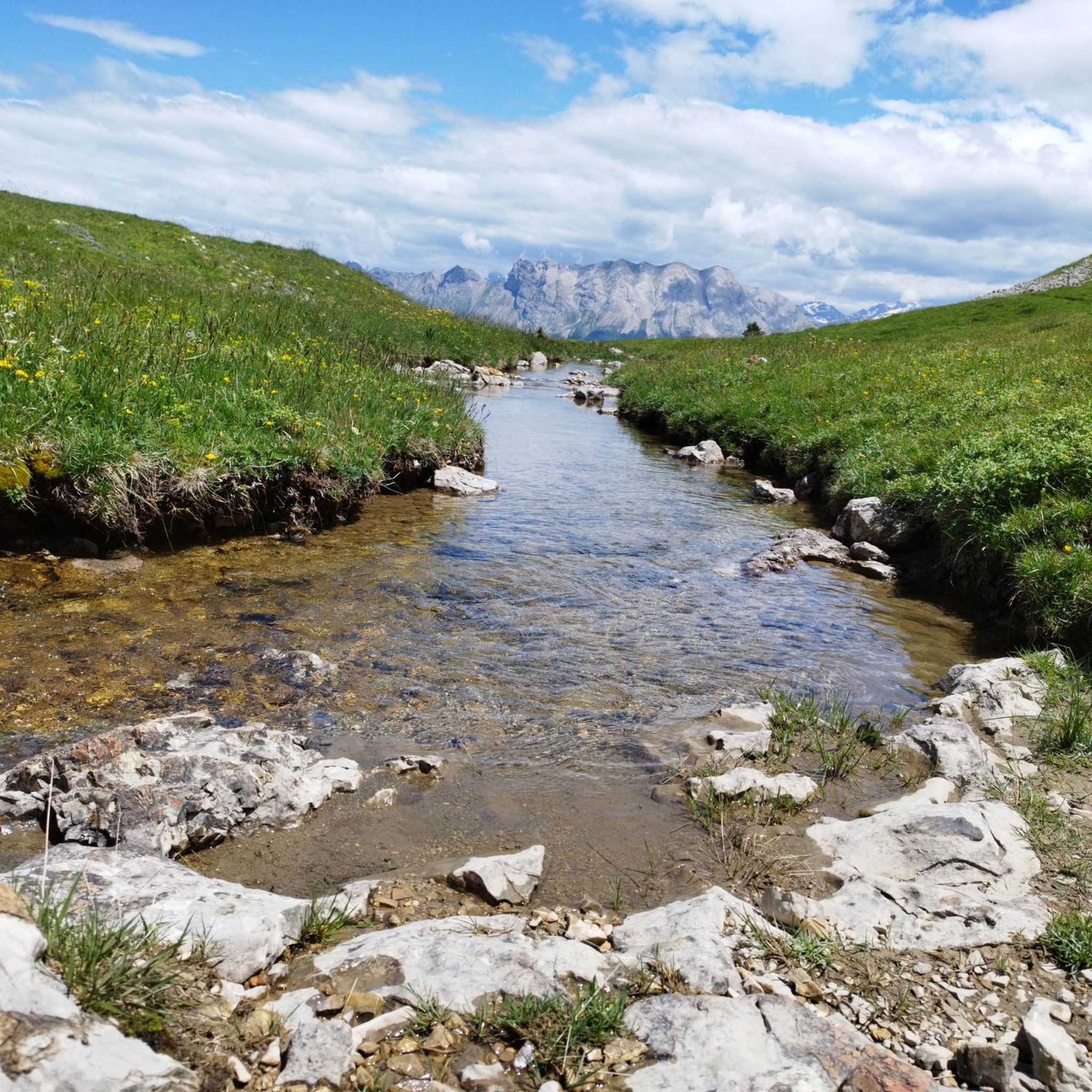

Other adventures around Lus-La-Croix-Haute

Tips from the Community

Spectacular view at the junction with the Route des Aiguilles leading onto a track overlooking the gorge.
0
0

Here is the route for the ascent of the Col de Menée starting from Menée
1
0

Feeling a little thirsty? Luckily, the fountain bar is here to help.
0
0
perfect for a short break
0
0

magnificent little walk to do
0
0

Benches along walking or cycling routes are not that common in the Drôme, but when they are there, they offer a beautiful view. The bench is hard to miss and is right next to the road, but there is rarely any traffic here, so take your time and enjoy this beautiful region.
0
0
Very charming little village in the heart of the Vercors on the road to the Col de Menée
0
0

Sublime village and magnificent roads around.
0
0
Frequently Asked Questions
How many touring cycling routes are available in Lus-La-Croix-Haute?
There are over 75 touring cycling routes around Lus-La-Croix-Haute, offering a wide range of options for exploring the region's diverse landscapes, from lush forests to alpine pastures.
What kind of terrain can I expect on touring cycling routes in Lus-La-Croix-Haute?
The region offers a captivating blend of scenery, from lush forests and alpine pastures to stark, remarkable peaks. You'll encounter varied topography, including deep gorges like the Gorges des Gâts and the Infernet Gorge, river valleys, and significant elevation changes across the Trièves, Dévoluy, and Diois regions.
Are there challenging touring cycling routes in Lus-La-Croix-Haute?
Yes, many routes feature substantial elevation gains and are geared towards experienced riders. For example, the Gorges of the Gats – Col de Menée loop from Glandage includes over 1,400m of ascent, and the View of Pic de l'Aigle – Col de Grimone (1318 m) loop from Lus-la-Croix-Haute has over 1,300m of climbing. These rides often require very good fitness.
Are there any easier touring cycling routes suitable for beginners or families?
While many routes are challenging, there is one easy touring cycling route available. For families or beginners, it's advisable to look for routes with minimal elevation gain or shorter distances. The region's diverse nature means some paths might be more accessible, but overall, the area is known for its more demanding terrain.
What are some notable natural features or landmarks to see along the cycling routes?
You can explore dramatic natural features such as the stunning Gorges des Gâts, the spectacular Infernet Gorge, and the serene Gillardes Spring. Cyclists can also enjoy panoramic views from summits like Jocou Mountain or pass through mountain passes like Col du Festre.
Can I find circular touring cycling routes in Lus-La-Croix-Haute?
Yes, many touring cycling routes in the area are designed as loops, allowing you to start and finish at the same point. Examples include the Châtillon-en-Diois – Saut de la Drôme and the Claps loop from Glandage and the Mens – View of the Dévoluy Mountains loop from Lalley.
What is the best time of year for touring cycling in Lus-La-Croix-Haute?
Lus-La-Croix-Haute is best for touring cycling during the warmer months, typically from late spring to early autumn. This period offers more stable weather conditions and accessible mountain passes. Given its altitude of over 1,100 meters, some higher routes may still have snow early in the season.
What do other touring cyclists say about the routes in Lus-La-Croix-Haute?
The routes in Lus-La-Croix-Haute are highly rated by the komoot community, with an average score of 4.5 stars from over 60 reviews. Reviewers often praise the challenging terrain, the authentic alpine atmosphere, and the panoramic views of the Trièves, Vercors, and Dévoluy massifs.
Are there any specific cycling networks or long-distance routes that pass through Lus-La-Croix-Haute?
Yes, the region is part of the renowned Chemins du Soleil network, which includes varied mountain bike routes through the Prealps. While primarily known for mountain biking, segments of this network, such as 'Chemins du Soleil - Under the foothills of Pic de Bure (B5)', offer an alpine atmosphere and traverse high pastures that can be enjoyed by touring cyclists.
Where can I find information about local services like accommodation or cafes?
Lus-La-Croix-Haute is a medium-mountain tourist commune, so you can expect to find local services. For detailed information on accommodation, dining, and other amenities in the area, it's recommended to check the local tourism office website, such as diois-tourisme.com.
Is public transport available to access the cycling routes?
While the region is well-suited for cycling, specific public transport options directly to trailheads can vary. It's advisable to check local bus schedules or train connections to Lus-La-Croix-Haute and then plan your cycling route from there. The area's focus is on self-propelled exploration.
Are there any specific points of interest for nature lovers along the routes?
Absolutely. The region is part of the Vercors Regional Natural Park and features several areas rich in fauna and flora preserved under the European Natura 2000 program. You can also visit the Plateau de Bure or the unique rock formations of Les Sucettes de Borne.
Most popular routes around Lus-La-Croix-Haute
Most popular attractions around Lus-La-Croix-Haute

Get inspired with the komoot mobile app


Explore more
Browse the best Cycling routes in other regions.
