The best walks and hikes around Illhäusern
4.5
(7366)
30,112
hikers
410
hikes
Hiking around Illhäusern offers diverse natural landscapes shaped by the Ill River and surrounding features. The region is characterized by the meandering Ill River, serene views of forests, and peaceful meadows. Illhäusern is situated in the Ried, a wetland region, with the nearby Illwald forest designated as a nature reserve. Its location in the Alsatian Plain provides access to varied terrains, including the foothills of the Vosges Mountains.
Best hiking trails around Illhäusern
- The most popular hiking route is Suspension…
Last updated: October 5, 2026
4.8
(97)
317
hikers
13.9km
04:33
560m
560m
Moderate hike. Good fitness required. Mostly accessible paths. Sure-footedness required.
4.0
(63)
224
hikers
Moderate hike. Good fitness required. Easily-accessible paths. Suitable for all skill levels.

4.1
(43)
131
hikers
Easy hike. Great for any fitness level. Easily-accessible paths. Suitable for all skill levels.
4.7
(19)
64
hikers
6.09km
01:42
120m
120m
Easy hike. Great for any fitness level. Easily-accessible paths. Suitable for all skill levels.
4.8
(10)
38
hikers
10.7km
02:58
200m
200m
Moderate hike. Good fitness required. Easily-accessible paths. Suitable for all skill levels.
Get access to more routes and recommendations from other explorers.
Already have an account?
Our route recommendations are based on thousands of hikes, rides, and runs completed by other people on komoot.
Start today with a free account
Your next adventure awaits.
Tips from the Community

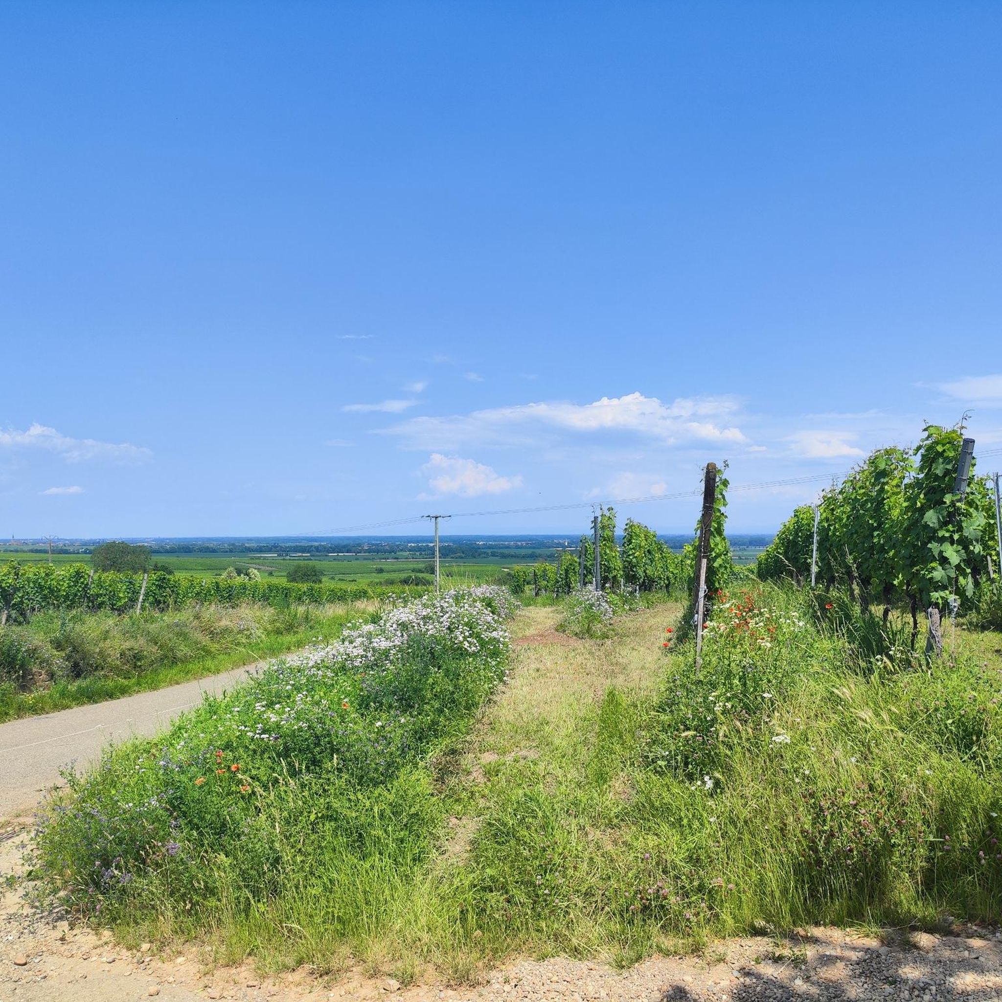
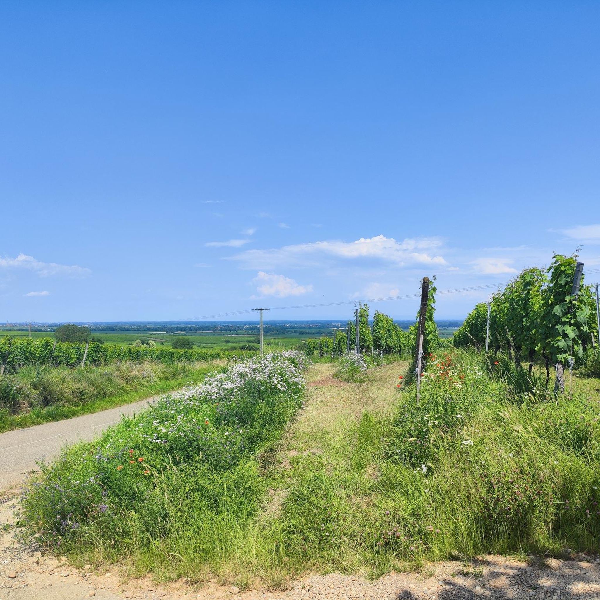
In a beautiful forest area near Sélestat. At the end of my tour
0
0

A particularly beautiful specimen of a weeping willow
3
0

Beautiful town hall, beautifully decorated with flowers in summer
0
0

The large wall at the rear of the ruins has been reinforced. The keep is also now dilapidated. To prevent anyone from climbing the tower, the lower staircase has been removed.
7
1
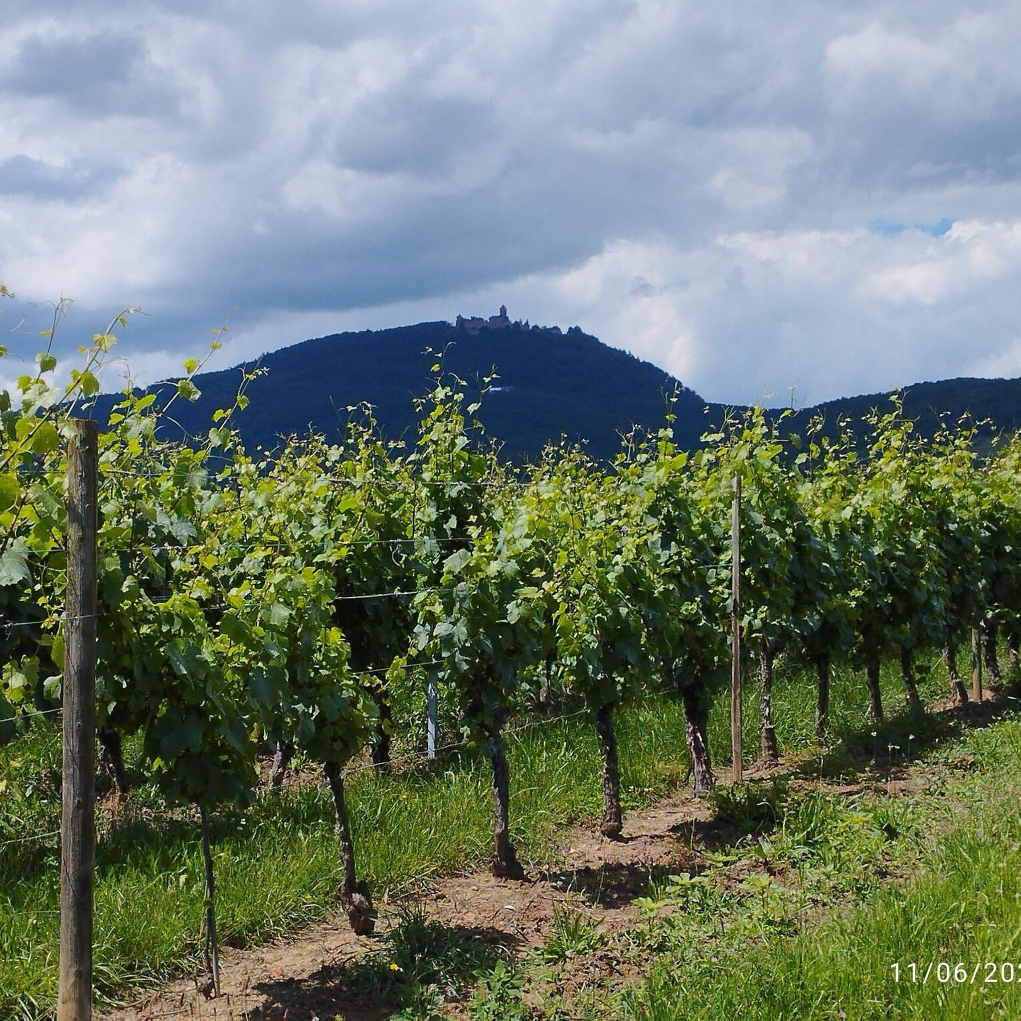
Not only from the castles but also from the hiking trail, the view of Ribeauvillé, the Rhine plain and the Black Forest is phenomenal when the visibility is good.
7
0
Saunt Ulric Castle is the largest of the three ruins. It is currently undergoing partial renovation. A small section is cordoned off, and caution is advised in other areas. However, the keep is accessible.
6
0
From various viewpoints in Ribeauvillé you can sometimes see all three castles together.
9
0
A charming Alsatian village with approximately 4,700 inhabitants. The old town is well worth seeing with its colorful houses. Ribeauvillé is also very popular because of the hike to its three castle ruins that overlook the town.
9
0
Frequently Asked Questions
How many hiking trails are available around Illhaeusern?
Illhaeusern offers a wide variety of hiking experiences, with over 420 routes available. These range from easy strolls through the wetlands to more challenging treks in the nearby Vosges foothills.
What kind of terrain can I expect on hikes in Illhaeusern?
The terrain around Illhaeusern is diverse, characterized by the meandering Ill River, peaceful meadows, and the rich natural environment of the Illwald forest, a designated nature reserve. You'll find flat paths through wetlands (the Ried) and the Alsatian Plain, with access to the varied landscapes of the Vosges Mountains further afield.
Are there easy hiking options suitable for beginners or casual walkers?
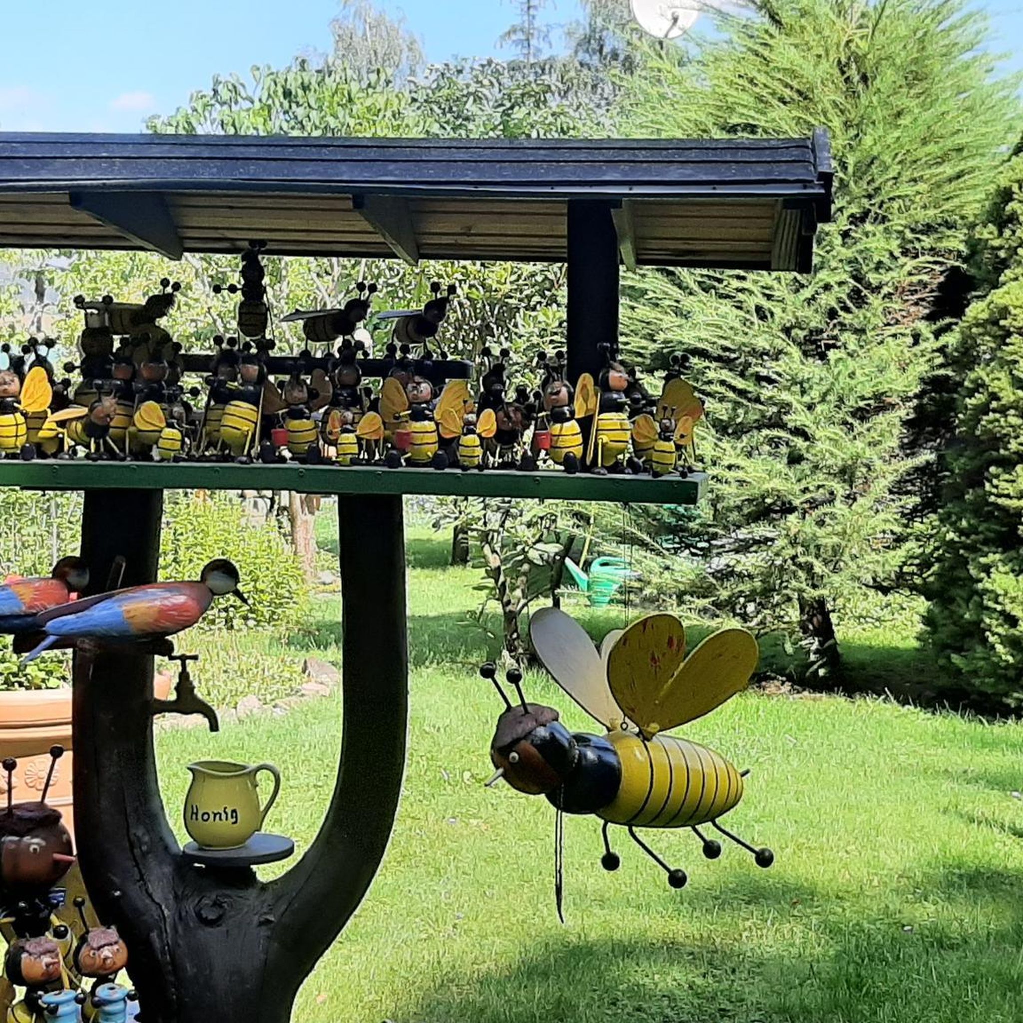
Yes, Illhaeusern is very welcoming for beginners and casual walkers, with 236 easy routes available. A popular choice is the Chapel of the Oak – Beekeepers Association loop, an easy 3.7-mile (6.0 km) path through the Illwald forest. Another great option is the Illhaeusern village – Tour Rousseau loop, which explores the village surroundings and follows the Ill River.
Can I find circular hiking routes in the area?
Many of the hiking routes around Illhaeusern are circular, allowing you to start and end at the same point. For example, the Rest Area on the Ill River loop from Ostheim is a popular 4.8-mile (7.7 km) circular trail through peaceful meadows.
What are some notable natural features or landmarks to see while hiking?
While hiking, you'll encounter the serene Ill River, the unique wetland landscape of the Ried, and the protected Illwald forest. Specific natural highlights include the Chapel of the Oak and the Limberg Nature Reserve. The region's natural beauty is a major draw for hikers.
Are there any historical sites or castles accessible from hiking trails?
Yes, the region offers a blend of nature and history. The 'Bunkers Trail' allows you to explore World War I fortified structures. For castles, you can find routes that lead to or near impressive ruins. For example, the challenging Haut-Ribeaupierre Castle – Saint-Ulrich Castle loop offers views of historical fortifications like Haut-Ribeaupierre Castle and Saint-Ulrich Castle.
What do other hikers enjoy the most about hiking in Illhaeusern?
The hiking trails around Illhaeusern are highly rated by the komoot community, with an average score of 4.5 stars from over 5,900 reviews. Hikers often praise the tranquil atmosphere, the beautiful river and forest scenery, and the well-maintained paths that cater to various fitness levels.
Are the hiking trails in Illhaeusern suitable for families with children?
Yes, many trails are suitable for families. The easy, relatively flat paths through the Illwald forest and along the Ill River are ideal for walks with children. The natural surroundings provide a peaceful and engaging environment for family outings.
Is Illhaeusern a dog-friendly hiking destination?
Illhaeusern and its surrounding natural areas are generally dog-friendly. Many trails through the forests and along the river are perfect for walking with your dog. Always ensure your dog is under control, and be mindful of local regulations regarding leashes, especially in nature reserves like the Illwald forest.
What is the best time of year to go hiking in Illhaeusern?
Spring and autumn are particularly pleasant for hiking in Illhaeusern. In spring, the wetlands and forests burst with new life, while autumn offers beautiful foliage. Summer can also be enjoyable, especially for shaded forest walks, but it's advisable to start early to avoid the midday heat. Winter hikes are possible, offering a different, serene perspective of the landscape.
Are there places to eat or stay near the hiking trails in Illhaeusern?
Illhaeusern itself is a charming village with local amenities. You'll find restaurants and accommodation options within the village. The Zur Limburg Inn is one example of a place that caters to visitors. Its central location in Alsace also means you're close to other villages with various services.
Is there public transport available to reach hiking trailheads in Illhaeusern?
While Illhaeusern is accessible, public transport options directly to specific trailheads might be limited. It's often recommended to check local bus schedules or consider driving to reach the starting points of some routes. For more general information about the area, you might find details on the local tourism website: visit.alsace.
Where can I park my car when hiking in Illhaeusern?
Parking is generally available in Illhaeusern village and at designated points near popular trailheads. Specific parking information for individual routes can often be found on the komoot tour pages. Always look for official parking areas to ensure you are not obstructing local access or private property.
Most popular routes around Illhäusern
Most popular attractions around Illhäusern

Get inspired with the komoot mobile app


Explore more
Browse the best Hikes in other regions.
