The best MTB trails around Chamaloc
4.4
(288)
2,160
riders
125
rides
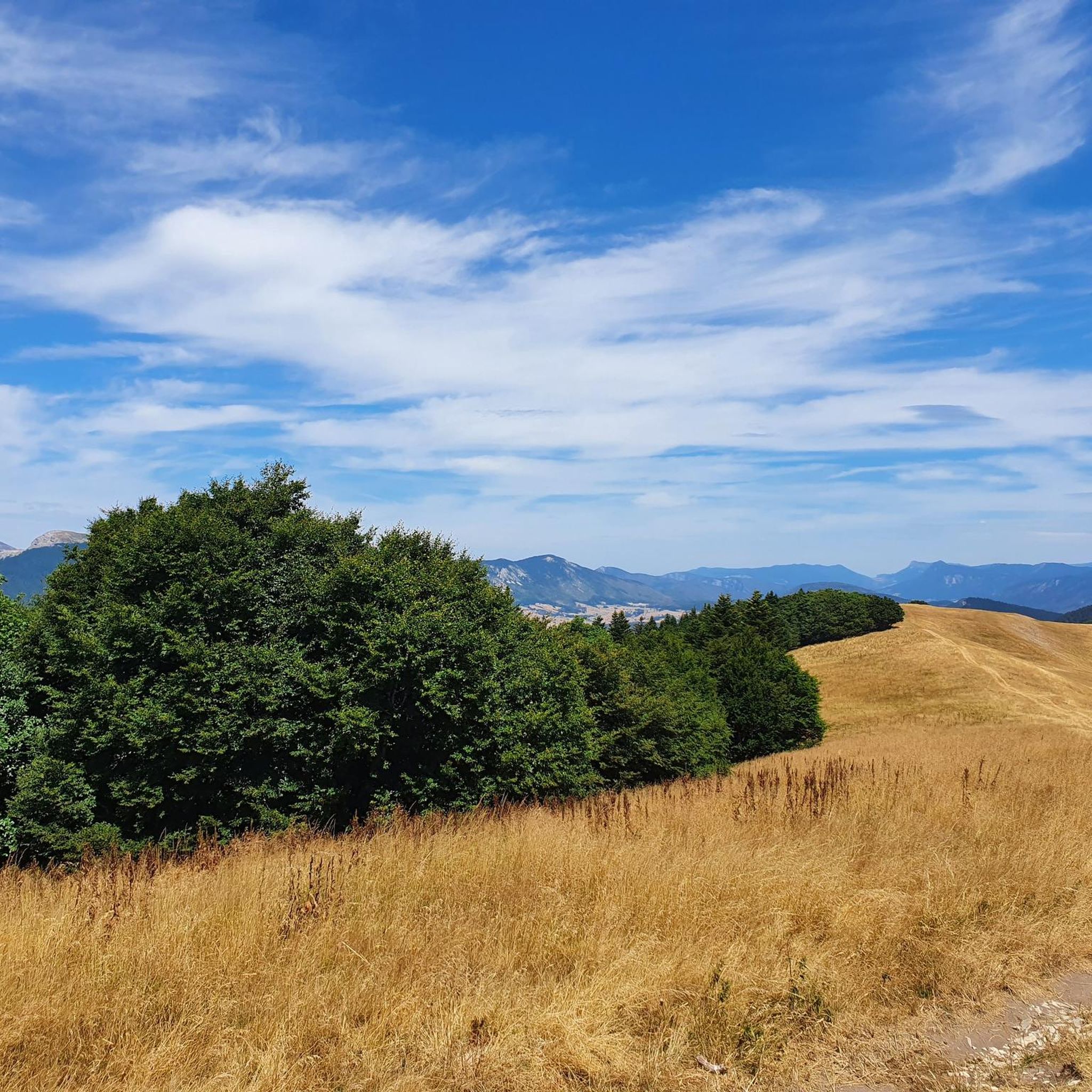
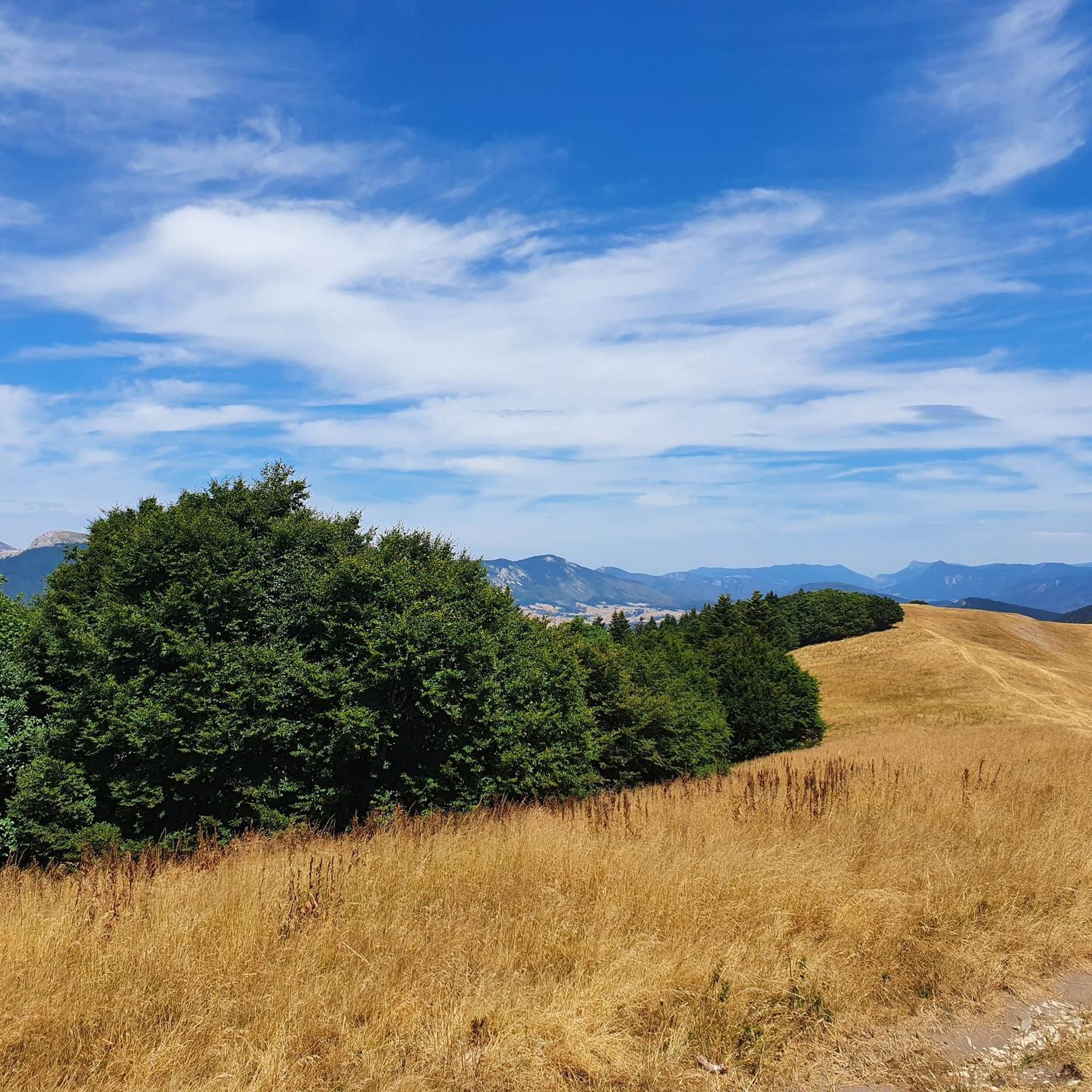
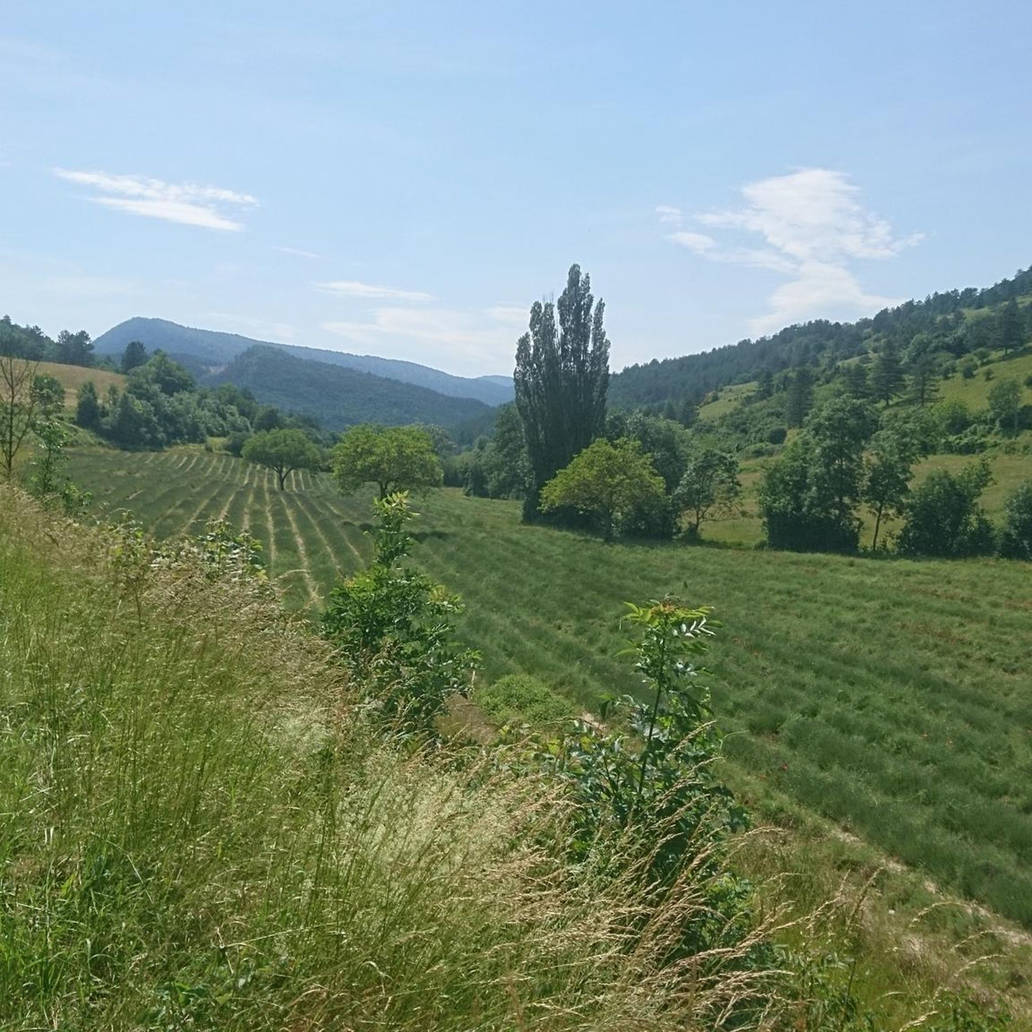
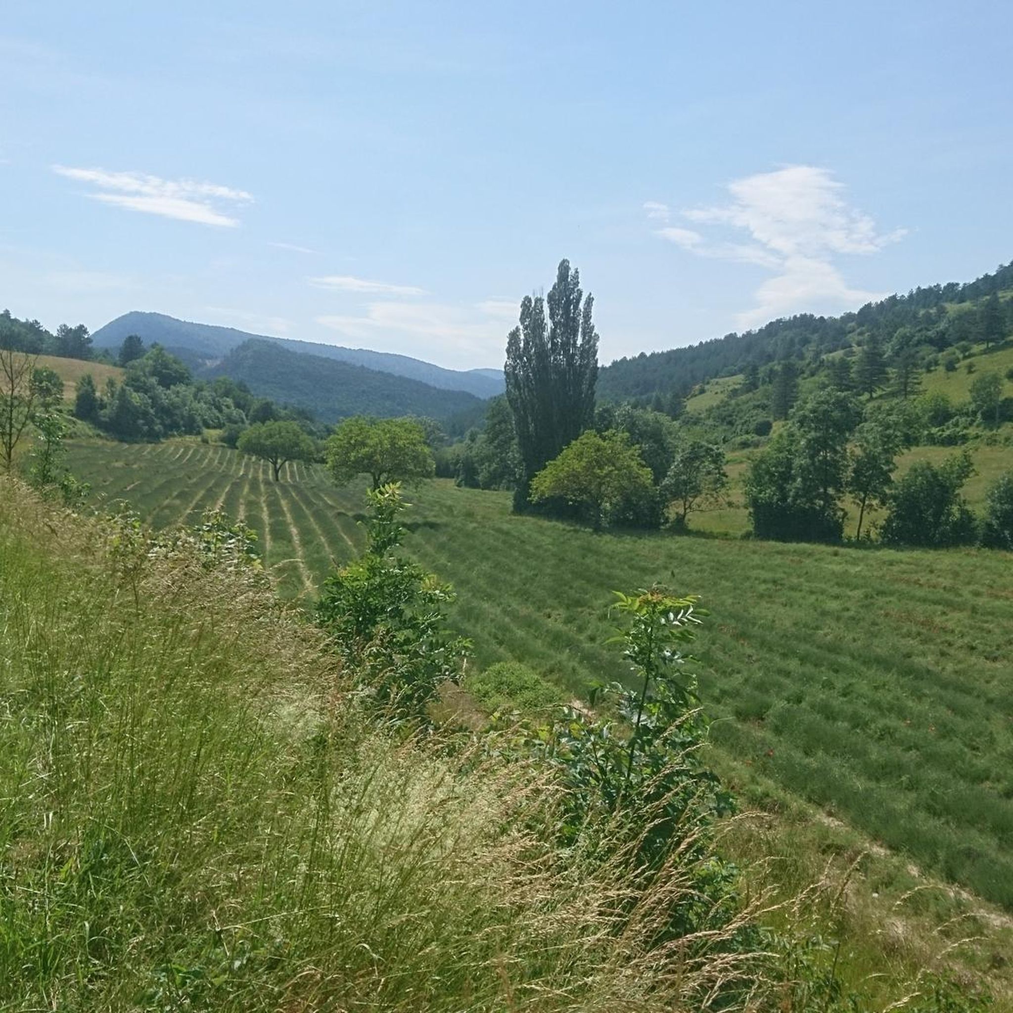
Mountain bike trails around Chamaloc are situated at the southern entrance to the Vercors Regional Natural Park, characterized by diverse terrain. The region features limestone cliffs, deep gorges, and extensive forests, with elevations ranging from approximately 560 meters in the village to 1300-1400 meters in surrounding areas. This varied landscape provides a range of natural features for mountain biking, including areas with lavender fields.
Best mountain bike trails around Chamaloc
- The most popular mountain bike trail is The town center…
Last updated: November 1, 2026
4.7
(6)
27
riders
18.5km
02:12
620m
620m
Moderate mountain bike ride. Good fitness required. Advanced riding skills necessary.
5.0
(2)
12
riders
19.3km
01:23
340m
340m
Moderate mountain bike ride. Good fitness required.

3.0
(2)
4
riders
15.6km
01:28
470m
460m
Moderate mountain bike ride. Good fitness required.
5.0
(1)
3
riders
9.43km
00:54
220m
220m
Easy mountain bike ride.
6
riders
62.3km
06:19
2,030m
2,040m
Hard mountain bike ride. Very good fitness required. Advanced riding skills necessary.
Get access to more routes and recommendations from other explorers.
Already have an account?
Our route recommendations are based on thousands of hikes, rides, and runs completed by other people on komoot.
Start today with a free account
Your next adventure awaits.

Other adventures around Chamaloc

Tips from the Community

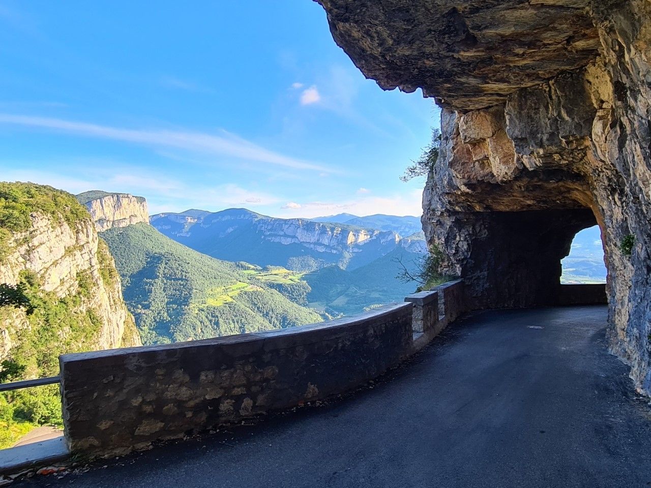
The Col de Rousset is located in the French department of Drôme on the southern edge of the Vercors massif and connects the town of Die with the plateau of Vassieux-en-Vercors. The spectacular pass road leads through numerous hairpin bends through steep limestone cliffs and offers wide views of the southern Prealps. The first road tunnel was opened in 1866 and was replaced in 1979 by a parallel 769-meter-long tunnel at an altitude of 1,254 meters. The actual pass summit is at 1,367 meters and can only be reached on foot.
1
0

Col du Rousset in the Vercors, it is one of the most beautiful and characteristic ascents in the area
11
0

A telescope on the side of the road before Chamaloc
0
0
Beautiful story of the Cross of Justin take the time for a walk
1
0

It is also an excellent gîte and can accommodate up to twelve people. https://www.fmc4me.online
0
0

Carcasses are dropped off at the aviary on Mondays, Wednesdays, and Fridays. It's an ideal place to observe griffon vultures up close.
0
0

Magnificent view for the descent from Bergu. Trail without great difficulty, ideal for a nice mountain bike outing of all levels. Avoid in cold weather because the lower part is often very humid on the single and you arrive at the bottom very damp. To be preferred on the descent rather than the ascent.
1
0
Frequently Asked Questions
How many mountain bike trails are available around Chamaloc?
There are over 100 mountain bike trails around Chamaloc, offering a wide range of experiences. These include 7 easy routes, 66 moderate routes, and 46 difficult routes, catering to various skill levels.
What kind of terrain can I expect on mountain bike trails in Chamaloc?
The terrain around Chamaloc is highly diverse, characterized by limestone cliffs, deep gorges, and extensive forests. You'll find varied elevation changes, with the village at 560 meters and surrounding areas reaching 1300-1400 meters. Some routes also pass through picturesque lavender fields, adding to the scenic variety.
Are there any family-friendly mountain bike trails in Chamaloc?
Yes, Chamaloc offers 7 easy mountain bike routes that are suitable for families. These trails provide a gentler introduction to the region's beautiful landscapes, allowing riders of all ages to enjoy the outdoors.
What are some challenging mountain bike routes for experienced riders?
For experienced riders seeking a challenge, Chamaloc has 46 difficult mountain bike routes. One such demanding trail is Die – Justin's Cross loop from Die, which features challenging climbs and descents through forested sections over 34.5 km. Another difficult option is The town center – Meyrosse Gorge Crossing loop from Die, spanning over 51 km with significant elevation changes.
What do other mountain bikers say about the trails in Chamaloc?
The mountain bike trails around Chamaloc are highly rated by the komoot community, with an average score of 4.3 stars from over 200 reviews. Riders often praise the diverse terrain, the stunning natural features of the Vercors Regional Natural Park, and the variety of routes available for different skill levels.
Are there any notable natural features or landmarks to see while mountain biking?
Absolutely. Chamaloc is at the southern entrance to the Vercors Regional Natural Park, known for its dramatic limestone cliffs and deep gorges. You might spot reintroduced golden vultures soaring above the high cliffs. Other notable natural features include the Grand Veymont summit and the Font d'Urle Ice Cave. The region is also famous for its lavender fields, which bloom vibrantly from mid-June to early August.
Can I find circular mountain bike routes in Chamaloc?
Yes, many mountain bike routes in Chamaloc are designed as loops, allowing you to start and finish in the same location. Examples include the moderate The town center – Die loop from Die and the difficult Justin's Cross – The town center loop from Die.
What is the best time of year to go mountain biking in Chamaloc?
The region's lavender fields are in bloom from mid-June to early August, offering a particularly scenic experience. Given the varied altitudes, spring and autumn generally provide pleasant temperatures for mountain biking. Summer can be warm, especially at lower elevations, while higher areas might be cooler. Always check local weather conditions before heading out.
Are there any mountain passes accessible by bike near Chamaloc?
Yes, the area around Chamaloc features several mountain passes that can be explored by bike. Notable passes include Col de Rousset, Proncel Pass, and Col de la Croix (746 m). These passes often offer challenging climbs and rewarding views.
Where can I find more information about the Pays Diois region for mountain biking?
Chamaloc is located in the Pays Diois, which is well-known for its extensive mountain biking opportunities. The region features seven VTT/FFC (mountain biking) areas with 27 routes. For more general information about mountain biking in the wider Pays Diois area, you can visit the local tourism website: diois-tourisme.com.
Are there any historical sites or towns to visit near the trails?
Yes, the historic town of Die is a significant highlight in the area, offering cultural interest alongside the natural beauty. Many mountain bike routes, such as Justin's Cross – Die loop from Die, start or pass through Die, making it convenient to combine your ride with a visit to this charming town.
Most popular routes around Chamaloc
Most popular attractions around Chamaloc

Get inspired with the komoot mobile app


Explore more
Browse the best MTB trails in other regions.
