The best road cycling routes around Wittenheim
4.5
(806)
18,719
riders
14
rides
Road cycling around Wittenheim offers a varied landscape, from flat routes along waterways to more undulating terrain through forests and towards higher elevations. The region is characterized by the Canal du Rhône au Rhin, providing flat and scenic paths, and extensive forest areas like the Hardt and Nonnenbruch forests with paved sections. Cyclists can also find routes utilizing converted railway lines, offering smooth, linear paths. For more experienced riders, the proximity to the Vosges Mountains presents challenging climbs.
Best road…
Last updated: October 8, 2026
4.3
(7)
140
riders
63.8km
03:12
690m
690m
Moderate road ride. Good fitness required. Mostly well-paved surfaces and easy to ride.
66
riders
22.8km
00:53
50m
50m
Easy road ride. Great for any fitness level. Mostly well-paved surfaces and easy to ride.

5.0
(3)
43
riders
24.8km
00:58
50m
50m
Easy road ride. Great for any fitness level. Mostly well-paved surfaces and easy to ride.
28
riders
Easy road ride. Great for any fitness level. Mostly well-paved surfaces and easy to ride.
4.0
(3)
26
riders
Easy road ride. Great for any fitness level. Mostly well-paved surfaces and easy to ride.
Get access to more routes and recommendations from other explorers.
Already have an account?
Our route recommendations are based on thousands of hikes, rides, and runs completed by other people on komoot.
Start today with a free account
Your next adventure awaits.
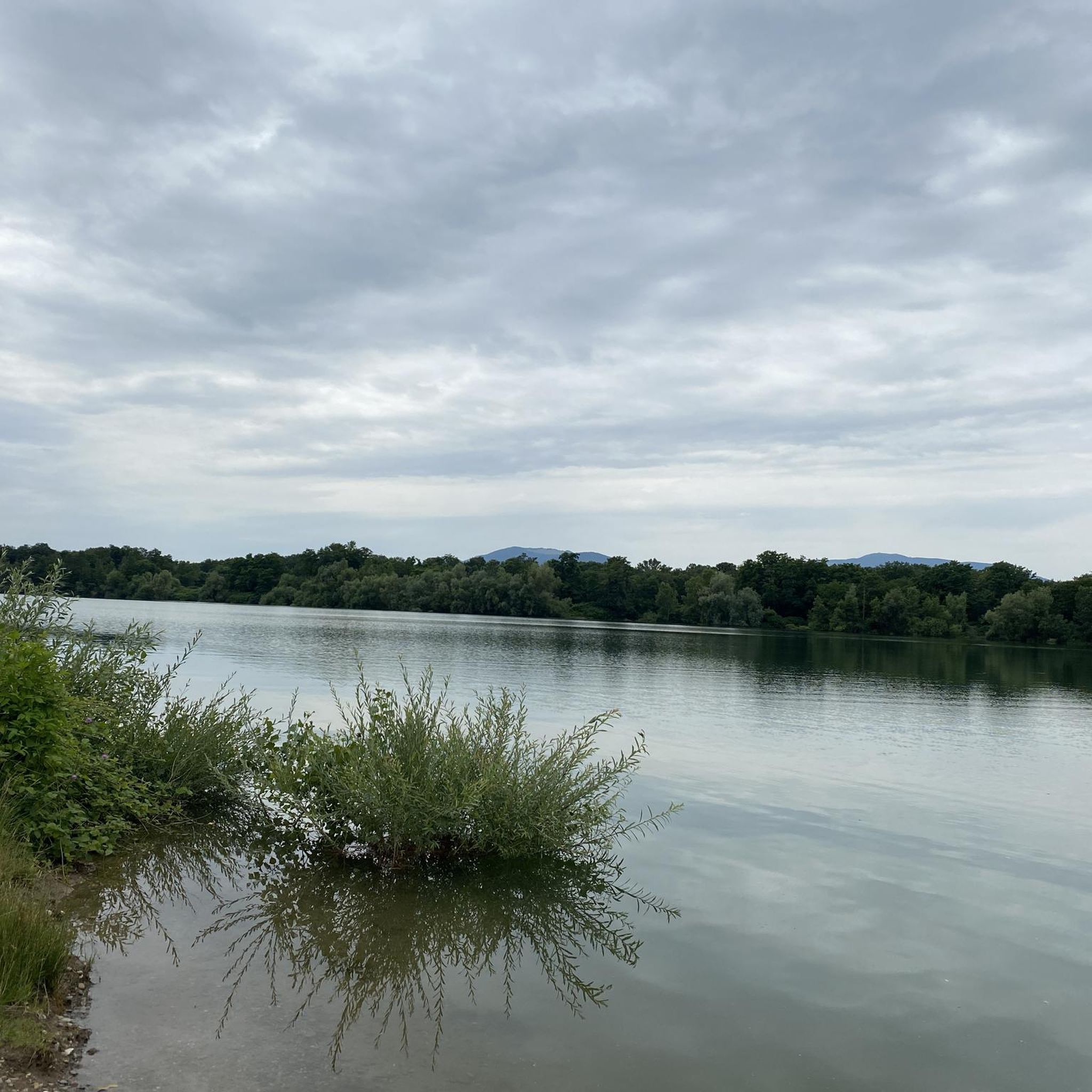
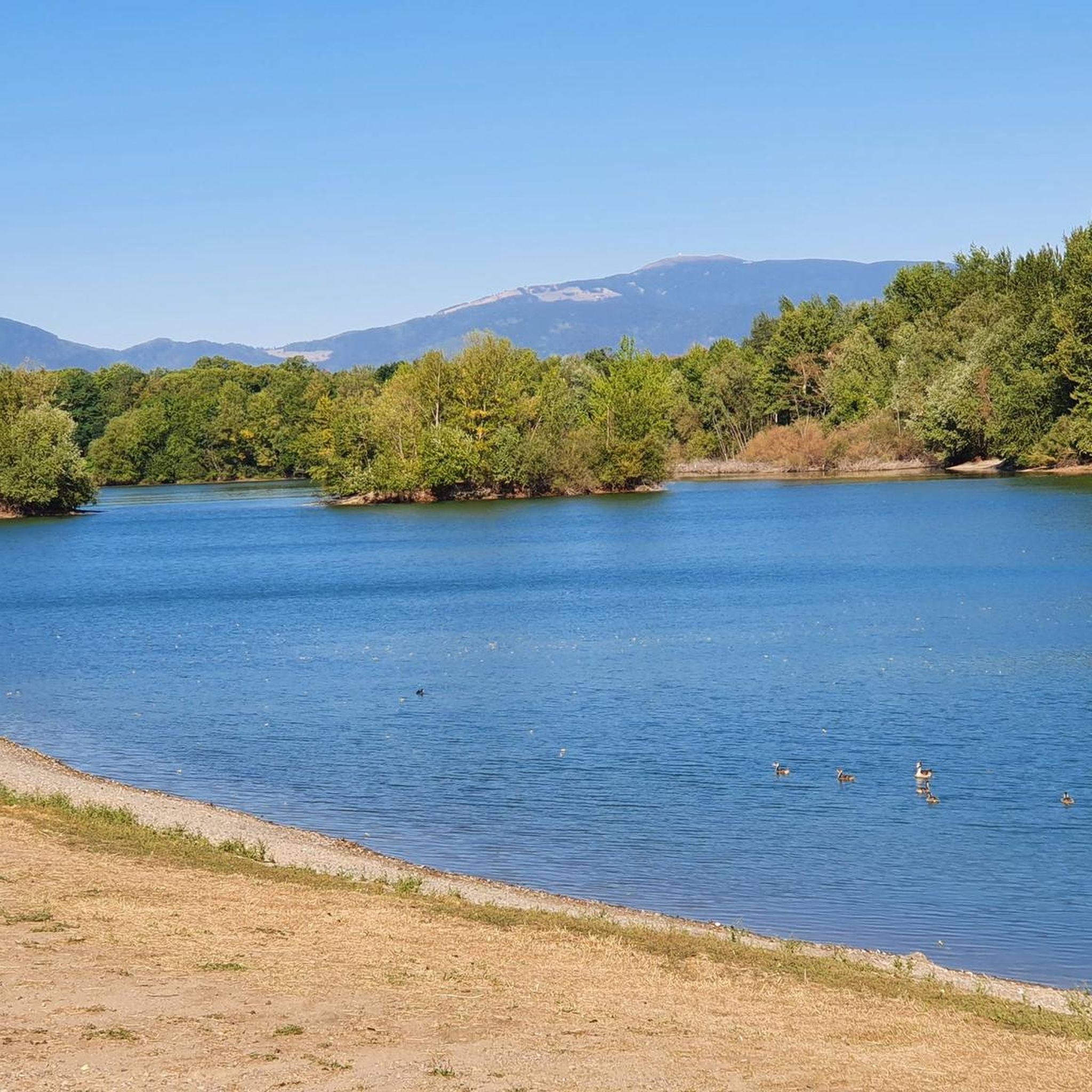
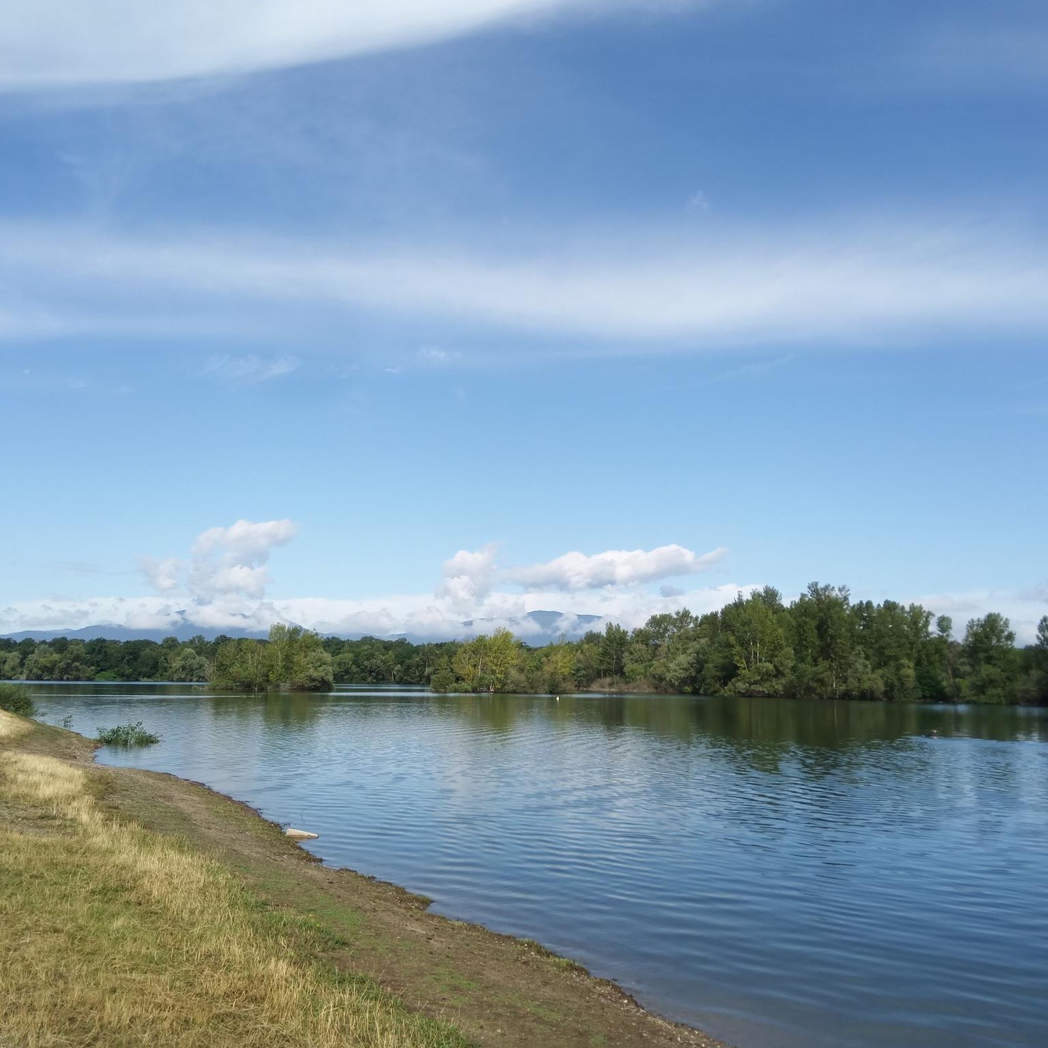
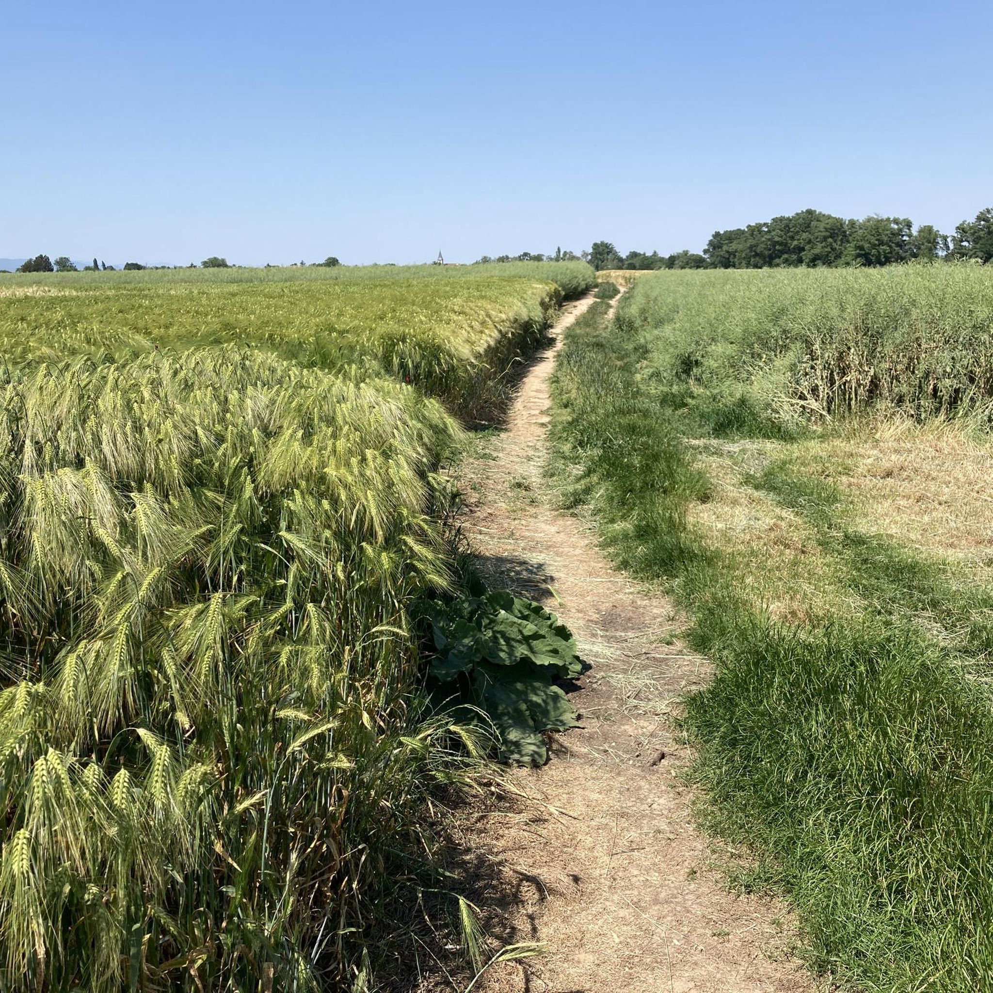
Tips from the Community

sights again and again towards Cernay
0
0

The Rhine with its beautiful bridges is always beautiful.
0
0

super nice path in the shade
0
0
it's fun to ride up there
0
0


The VV221 cycle route is part of the EuroVélo 5 network and begins in Ensisheim at the Thur bridge and ends in Cernay after about 17 km. The route initially runs alongside the road, then past ponds and finally through a wooded area. It runs alongside the Thur and passes the Alsatian Ecomuseum (another route leads to Ungersheim via the Petit Prince Park). The Green Route then winds along the Thur, passing Pulversheim, Staffelfelden, and Wittelsheim, and finally reaches Cernay, still along the Thur.
0
0
The VV221 cycle route is part of the EuroVélo 5 network and begins in Ensisheim at the Thur bridge and ends after about 17 km in Cernay. The route initially runs alongside the road, then past ponds and finally through a wooded area. It runs along the Thur and passes the Alsatian Ecomuseum (another route leads via the Petit Prince Park to Ungersheim). The Green Route then winds along the Thur, passing Pulversheim, Staffelfelden, and Wittelsheim, and finally reaches Cernay, still along the Thur. I cannot confirm the quality of the route as described by my predecessor, Barbara55. There may be some neglected sections – really only a few – but otherwise the approximately 17 km long cycle route is very well maintained. Riding along the parallel D2 departmental road is not a particularly good alternative. In this respect, this puts the statement into perspective in my eyes and I can now recommend this path with a clear conscience - as of August 2025.
0
0
The VV221 cycle route is part of the EuroVélo 5 network and begins in Ensisheim at the Thur bridge and ends in Cernay after about 17 km. The route initially runs alongside the road, then past ponds and finally through a wooded area. It runs alongside the Thur and passes the Alsatian Ecomuseum (another route leads to Ungersheim via the Petit Prince Park). The Green Route then winds along the Thur, passing Pulversheim, Staffelfelden, and Wittelsheim, and finally reaches Cernay, still along the Thur.
0
0
Frequently Asked Questions
What types of road cycling routes can I find around Wittenheim?
Wittenheim offers a diverse range of road cycling experiences. You can enjoy flat, scenic paths along the Rhône–Rhine Canal, smooth routes utilizing converted railway lines, and rides through extensive forest areas like the Hardt and Nonnenbruch forests. For those seeking a challenge, there are also ascents towards the Vosges Mountains.
Are there easy road cycling routes suitable for beginners or leisurely rides in Wittenheim?
Yes, Wittenheim has plenty of options for easy rides. Approximately 10 of the routes listed on komoot are classified as easy, often following the flat terrain of the Canal du Rhône au Rhin or converted railway lines. An example is the ELSASSMAN size L - Velo loop from Kingersheim, which is a relatively flat 14.2-mile (22.8 km) path.
Where can I find more challenging road cycling routes near Wittenheim?
For more experienced cyclists looking for a challenge, the proximity to the Vosges Mountains offers significant ascents. Routes like the Ascent to Col Amic – Climb to Col Amic loop from Cité Jeune Bois provide a moderate difficulty with substantial elevation gain, leading towards notable peaks like the Col du Grand Ballon.
Are there any circular road cycling routes around Wittenheim?
Yes, many of the routes around Wittenheim are designed as loops, allowing you to start and finish at the same point. For instance, the Rhône–Rhine Canal – Niffer Lock loop from Ruelisheim is a popular 31.4-mile (50.6 km) circular trail that takes you through scenic canal paths.
What natural attractions or landmarks can I see along the road cycling routes?
While cycling, you can encounter various natural and historical features. The routes often run alongside the Rhône–Rhine Canal, offering tranquil waterside views. You'll also pass through the extensive Nonnenbruch and Hardt forests. The region's mining heritage is visible in areas with slag heaps (terrils) and old quarries, and the Dollerbaechlein river arm flows through the area.
What do other road cyclists enjoy most about cycling in Wittenheim?
The road cycling routes in Wittenheim are highly rated by the komoot community, with an average score of 4.6 stars from over 200 reviews. Cyclists often praise the varied terrain, which includes flat canal paths, forest routes, and challenging ascents, catering to different preferences and fitness levels.
Are there any routes that follow old railway lines in the Wittenheim area?
Yes, some cycling paths in the region utilize converted old railway lines, providing smooth and linear routes. An example is the Bike path to Ensisheim, which offers a pleasant ride on these historical tracks.
Can I find road cycling routes that pass through forests?
Absolutely. Wittenheim is surrounded by significant forest areas, including the Hardt and Nonnenbruch forests. Many routes, such as the Thur Rapids – Cycle Path with Blue Bridge loop from Wittenheim, incorporate sections through these wooded landscapes, offering shaded and scenic rides.
What is the best time of year for road cycling around Wittenheim?
The region generally offers pleasant cycling conditions from spring through autumn. During these seasons, the weather is typically mild, and the landscapes are vibrant. While some routes may be accessible in winter, it's always advisable to check local weather conditions, especially for higher elevation routes in the Vosges Mountains.
Are there any road cycling routes suitable for families with children?
For families, the flatter sections along the Rhône–Rhine Canal and routes on converted railway lines are generally the most suitable. These paths offer smoother surfaces and less challenging gradients, making them ideal for a relaxed family outing. The VV Section 5 – Ensisheim loop from Wittenheim is an easy route that could be a good option.
Are there places to stop for refreshments or accommodation along the road cycling routes?
While specific cafes or pubs are not detailed for every route, the routes often pass through or near towns and villages where you can find amenities. For routes that venture further, especially towards the Vosges Mountains, there are typically guesthouses and restaurants in the smaller communities. It's recommended to plan your stops in advance, particularly on longer rides.
Most popular routes around Wittenheim
Most popular attractions around Wittenheim

Get inspired with the komoot mobile app


Explore more
Browse the best Road cycling routes in other regions.
