The best road cycling routes around Ottmarsheim
4.5
(708)
10,141
riders
249
rides
Road cycling around Ottmarsheim offers diverse terrain, from the flat, scenic paths of the Alsatian Ried to routes along the Rhine Cycle Route. The region features tranquil stretches through the Hardt Forest and follows waterways like the Canal du Rhône au Rhin. While the immediate area is largely flat, it provides access to the more challenging climbs of the Vosges Mountains and the rolling vineyards of the Alsace Wine Route.
Best road cycling routes around Ottmarsheim
- The most popular road…
Last updated: October 4, 2026
4.6
(53)
561
riders
51.5km
02:16
110m
110m
Cycle 32.0 miles (51.5 km) on the moderate BL275 - Canals and Forest Estates Trail through forests and along canals in Alsace.
5.0
(2)
23
riders
72.9km
02:46
110m
110m
Moderate road ride. Good fitness required. Some segments of this route may be unpaved and difficult to ride.

4.5
(2)
60
riders
102km
04:40
990m
990m
Hard road ride. Very good fitness required. Mostly well-paved surfaces and easy to ride.
4.0
(8)
53
riders
28.3km
01:07
40m
40m
Moderate road ride. Great for any fitness level. Some segments of this route may be unpaved and difficult to ride.
25
riders
132km
06:17
1,410m
1,410m
Hard road ride. Very good fitness required. Some segments of this route may be unpaved and difficult to ride.
Get access to more routes and recommendations from other explorers.
Already have an account?
Our route recommendations are based on thousands of hikes, rides, and runs completed by other people on komoot.
Start today with a free account
Your next adventure awaits.
Tips from the Community

When you drive from the Route des Crêtes towards Le Grand Ballon, you pass the Col du Haag (1233 m) almost unnoticed. Yet, this pass marks a special point on the southern flank of the highest mountain in the Vosges. Here, steep roads from the Thurdal leave the wooded slopes and reach the open heights of the massif. From the col, a typical Vosges landscape unfolds with mountain meadows, scattered farms, and sweeping views. The proximity of the Grand Ballon is felt everywhere: the imposing summit towers above the pass and forms the natural goal of the final climbing kilometers. For cyclists, the Col du Haag is mainly known as the point where difficult climbs from the valleys converge before the road continues to rise to the highest point of the Vosges.
6
0
Le Markstein (1184 m) is meer dan alleen een kruispunt op de Route des Crêtes. Het is echter een echte bergpas en het hoogste punt van de oversteek tussen het Lauch- en Thurdal. Het ligt in het hart van het Vogezenmassief, midden een populair wintersportgebied dat nauw verbonden is met de Grand Ballon
6
0

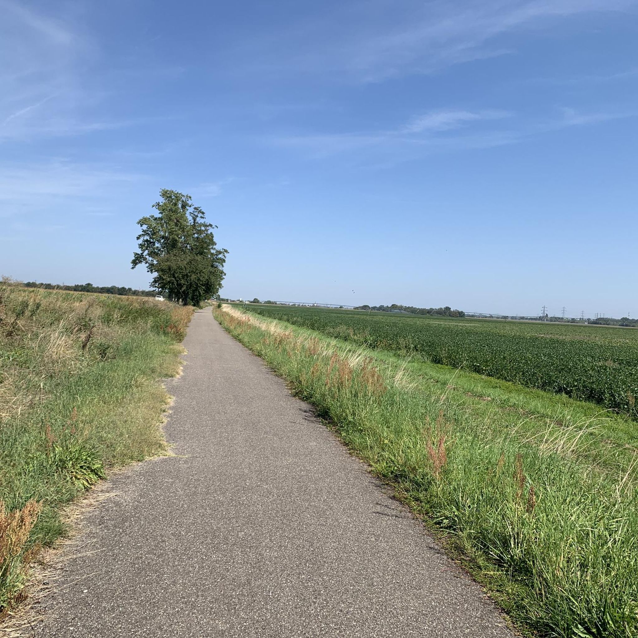
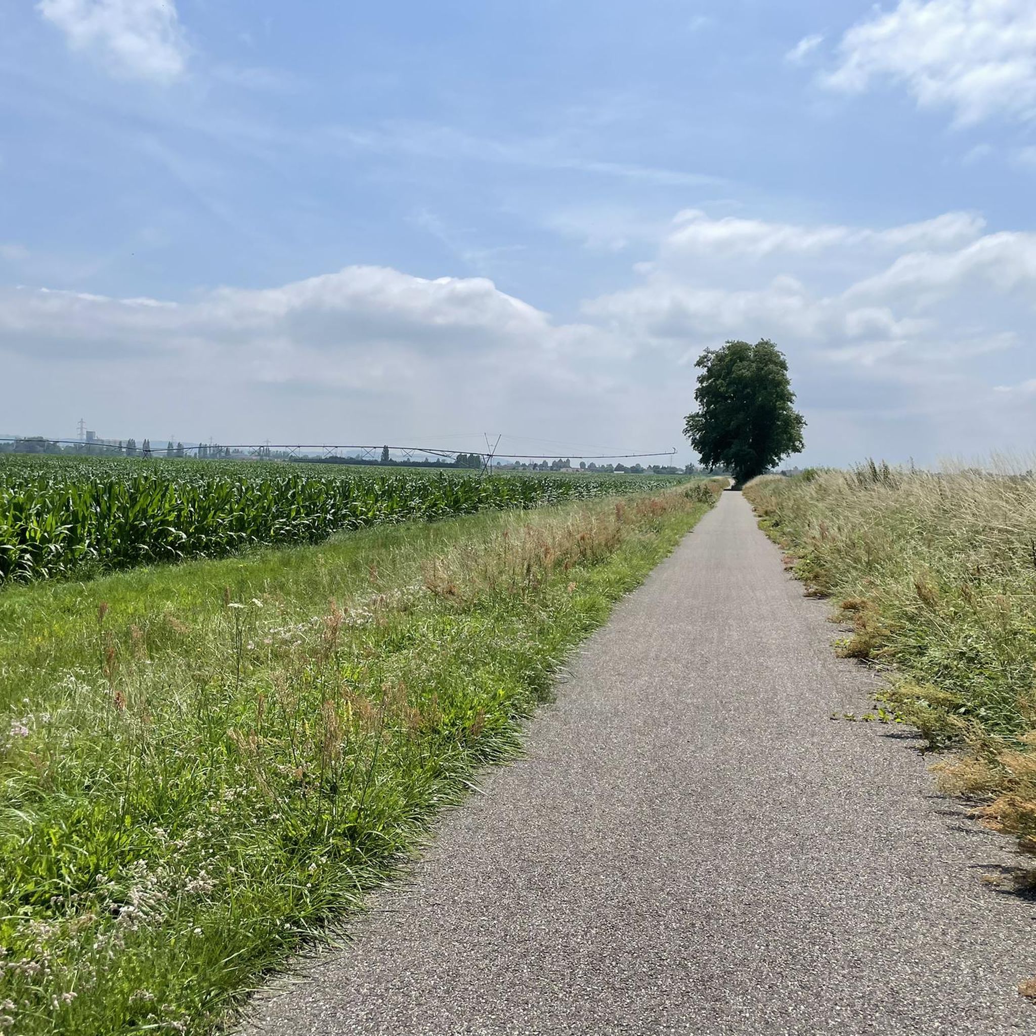
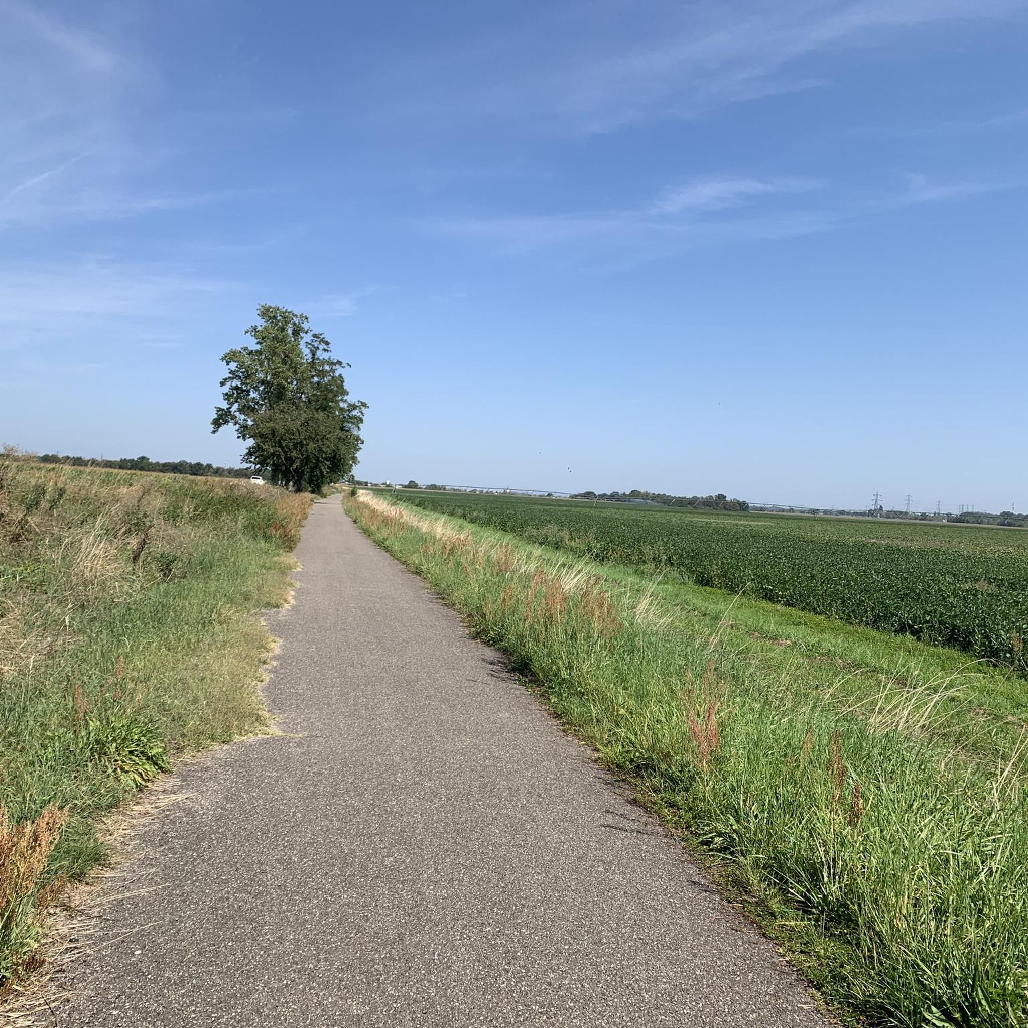
Perfectly straight asphalt path. The surface is rather rough, occasionally there's a small branch in the way. Easily rideable with Endurance. The forest offers protection from wind and sun
0
0

The Rhine with its beautiful bridges is always beautiful.
0
0

Beautiful viewpoint from restaurant Tre.
0
0

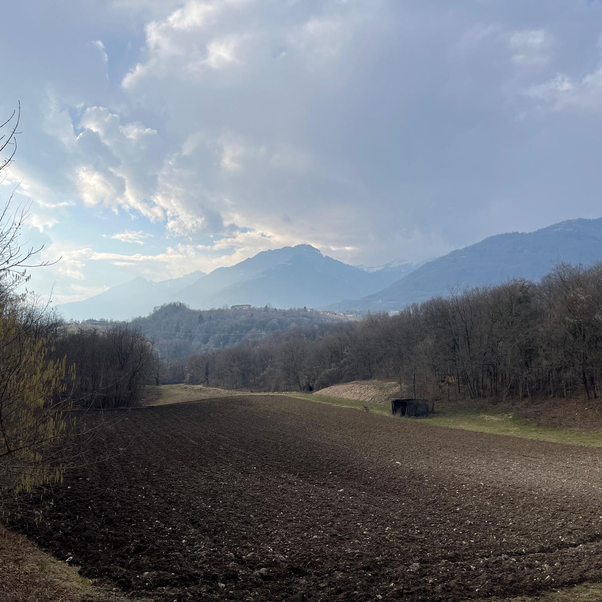
Beautiful view of a part of the Thur Valley.
0
0

The VV221 cycle route is part of the EuroVélo 5 network and begins in Ensisheim at the Thur bridge and ends in Cernay after about 17 km. The route initially runs alongside the road, then past ponds and finally through a wooded area. It runs alongside the Thur and passes the Alsatian Ecomuseum (another route leads to Ungersheim via the Petit Prince Park). The Green Route then winds along the Thur, passing Pulversheim, Staffelfelden, and Wittelsheim, and finally reaches Cernay, still along the Thur.
0
0

relatively narrow cycle path - be careful of oncoming traffic
0
0
Frequently Asked Questions
What kind of terrain can I expect for road cycling around Ottmarsheim?
The terrain around Ottmarsheim is quite diverse. You'll find many flat and scenic routes through the Alsatian Ried and along the Rhine Cycle Route, which are ideal for relaxed rides. For a tranquil, shaded experience, routes cut through the Hardt Forest. If you're seeking more challenging climbs, the stunning Vosges Mountains are accessible from the area, as are the rolling vineyards of the Alsace Wine Route.
Are there road cycling routes suitable for beginners or families in Ottmarsheim?
Yes, Ottmarsheim offers many routes suitable for less experienced cyclists and families. The flat paths along the Alsatian Ried and the Rhine Cycle Route are particularly gentle. An example of a moderate, relatively flat route is the BL275 - Canals and Forest Estates Trail, which navigates alongside canals and through forest estates.
What are the options for challenging road cycling routes near Ottmarsheim?
For experienced road cyclists looking for a challenge, the proximity to the Vosges Mountains provides routes with significant elevation gain. An example is the difficult Grand Ballon – Markstein loop from Bantzenheim, which covers over 130 km with substantial climbing. Another challenging option is the Kreuzweg Pass Summit – Niffer Lock loop from Bantzenheim, featuring varied terrain and considerable elevation.
What natural features or landmarks can I see along the road cycling routes?
Many routes follow the tranquil Canal du Rhône au Rhin, where you can see interesting sights like the locks at Niffer. The Hardt Forest offers a peaceful, shaded environment. You can also integrate cultural highlights like the unique octagonal Abbey Church of Ottmarsheim into your tours. For natural attractions, consider routes passing near the Amphibian Breeding Pond Auggen or the Grißheim Gravel Pit Lake.
Are there any circular road cycling routes around Ottmarsheim?
Yes, many of the road cycling routes around Ottmarsheim are designed as loops, allowing you to start and end in the same location. For instance, the Hardt-Nord state forest loop from Bantzenheim offers a tranquil circular experience. Another option is the Rhône–Rhine Canal – Niffer Lock loop from Ottmarsheim.
What is the best time of year for road cycling in Ottmarsheim?
The Alsace region, including Ottmarsheim, generally offers pleasant cycling conditions from spring through autumn. The flat routes are enjoyable in milder weather, while the shaded Hardt Forest provides relief during warmer summer days. For more challenging rides into the Vosges Mountains, late spring to early autumn is ideal to avoid snow and ensure open passes.
What do other road cyclists enjoy most about road cycling in Ottmarsheim?
The area is highly rated by the komoot community, with an average score of 4.5 stars from over 600 reviews. Road cyclists often praise the diverse terrain, from the flat, scenic paths along the Rhine to the tranquil forest routes and the challenging climbs towards the Vosges Mountains. The extensive network of well-maintained cycle paths is also a frequently highlighted positive aspect.
Are there facilities like cafes or accommodation along the road cycling routes?
The Alsace region is well-equipped for cyclists, and routes often pass through charming villages where you can find cafes, restaurants, and accommodation. While specific facilities vary by route, the extensive cycling network in Alsace, including the Rhine Cycle Route, is known for its good level of service, suggesting amenities are generally accessible.
How many road cycling routes are available around Ottmarsheim?
There are over 350 documented road cycling routes directly in and around Ottmarsheim on komoot. This includes a wide variety, with approximately 87 easy routes, 200 moderate routes, and 64 difficult routes, catering to all skill levels.
Can I find long-distance road cycling trails near Ottmarsheim?
Yes, Ottmarsheim is directly on the EuroVelo 15, also known as the Rhine Cycle Route, which is a major long-distance path spanning 1230 km. This provides excellent opportunities for extended rides along the river. Additionally, routes like the difficult Grand Ballon – Markstein loop from Bantzenheim offer significant distances for a full day's ride.
Are there any specific cycling facilities or services in the Ottmarsheim area?
The broader Alsace region boasts over 2,500 kilometers of cycle routes, often with downloadable road books and GPX/KML tracks. While specific 'Accueil Vélo' certified facilities might vary, the region's commitment to cycling infrastructure means you'll generally find well-maintained paths and services catering to cyclists. For more information on cycling in Alsace, you can visit visit.alsace.
Most popular routes around Ottmarsheim
Most popular attractions around Ottmarsheim

Get inspired with the komoot mobile app


Explore more
Browse the best Road cycling routes in other regions.
