The best walks and hikes around Chauvac-Laux-Montaux
4.4
(209)
1,000
hikers
50
hikes
Hiking around Chauvac-Laux-Montaux offers routes through a landscape characterized by hills, mountain passes, and forested areas. The region, situated in the Drôme department, features varied elevations suitable for different hiking experiences. Trails often traverse open terrain and provide views of the surrounding pre-Alpine environment. The area's geology contributes to diverse paths, from gentle slopes to more challenging ascents.
Best hiking trails around Chauvac-Laux-Montaux
- The most popular hiking route is The mountain of l'Arsuc from the Col de Perty, an…
Last updated: October 11, 2026
2.06km
00:42
110m
110m
Easy hike. Great for any fitness level. Easily-accessible paths. Suitable for all skill levels.
4.5
(4)
28
hikers
10.3km
03:11
380m
380m
Moderate hike. Good fitness required. Easily-accessible paths. Suitable for all skill levels.

4.9
(7)
25
hikers
7.04km
02:04
200m
200m
Moderate hike. Good fitness required. Easily-accessible paths. Suitable for all skill levels.
5.0
(4)
14
hikers
15.2km
05:04
750m
740m
Hard hike. Very good fitness required. Easily-accessible paths. Suitable for all skill levels.
3.0
(1)
10
hikers
6.04km
01:58
270m
270m
Easy hike. Great for any fitness level. Easily-accessible paths. Suitable for all skill levels.
Get access to more routes and recommendations from other explorers.
Already have an account?
Our route recommendations are based on thousands of hikes, rides, and runs completed by other people on komoot.
Start today with a free account
Your next adventure awaits.
Tips from the Community

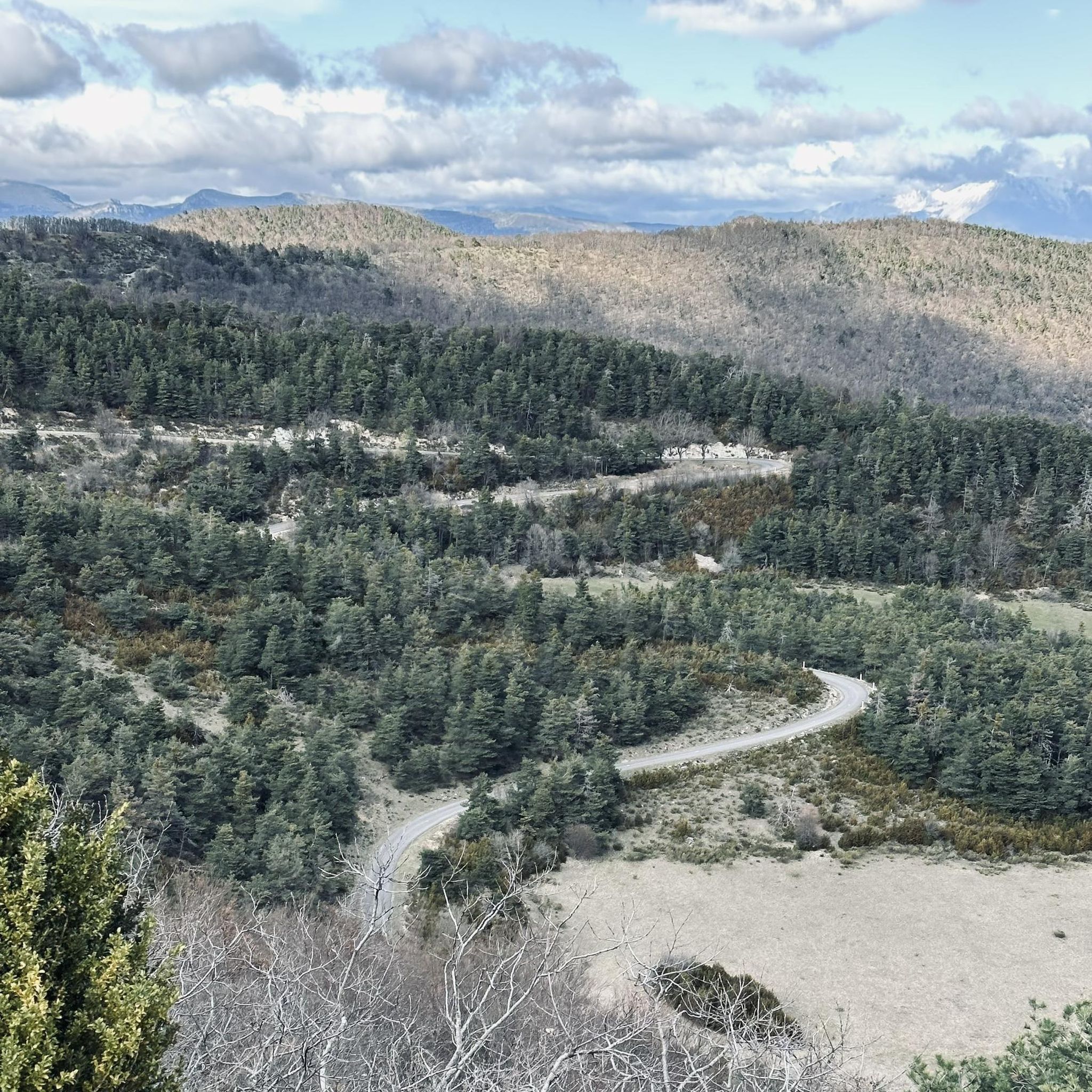
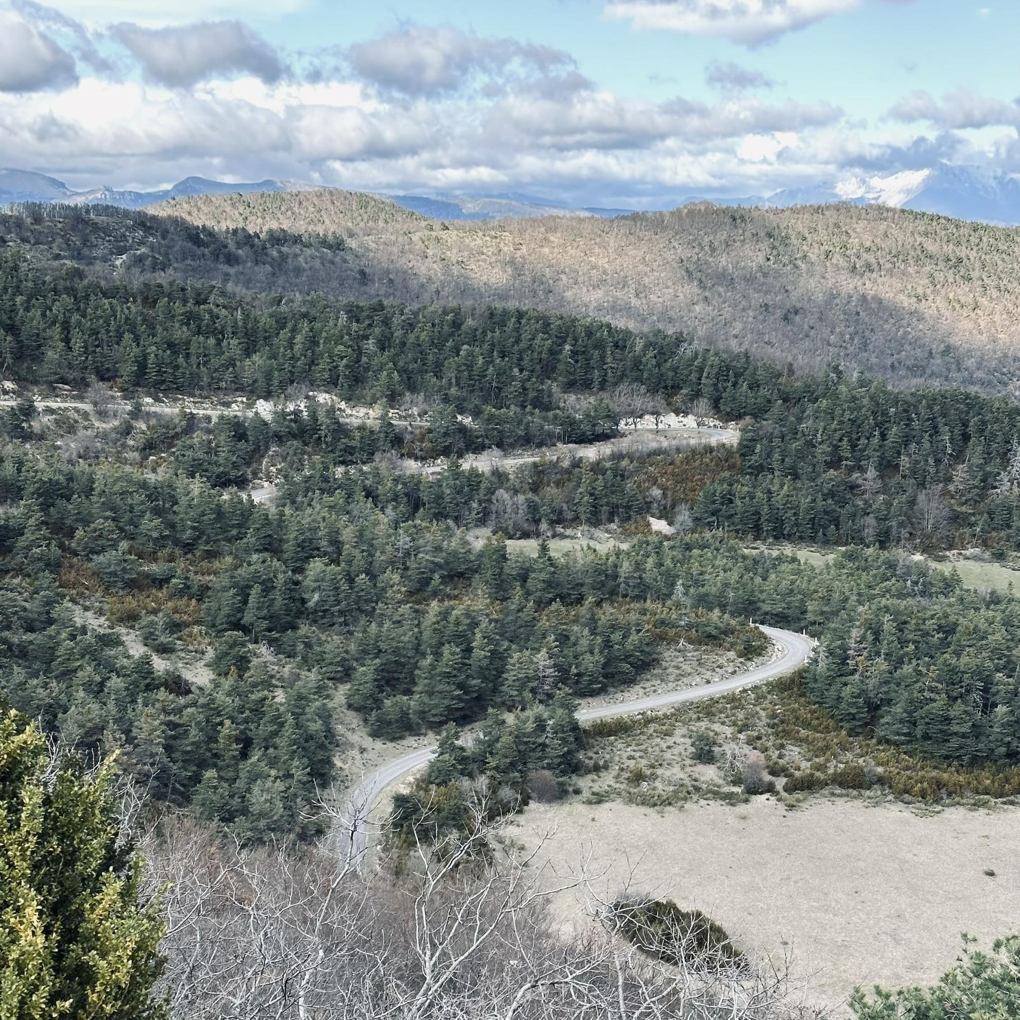
Col de Perty is located in the Baronnies Provençales massif, in the Drôme department, in the Auvergne-Rhône-Alpes region, in the southeast of France. It reaches an altitude of 1,302 m and connects the Ouvèze valley with the Orpierre area, in the Hautes-Alpes.
14
0

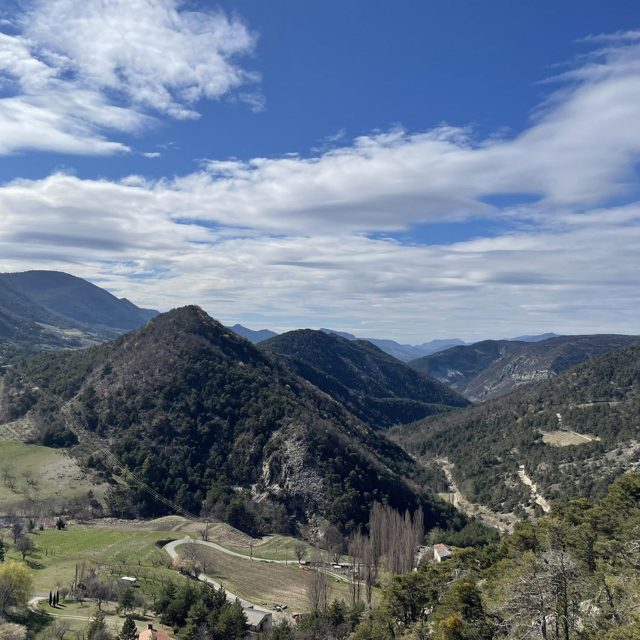
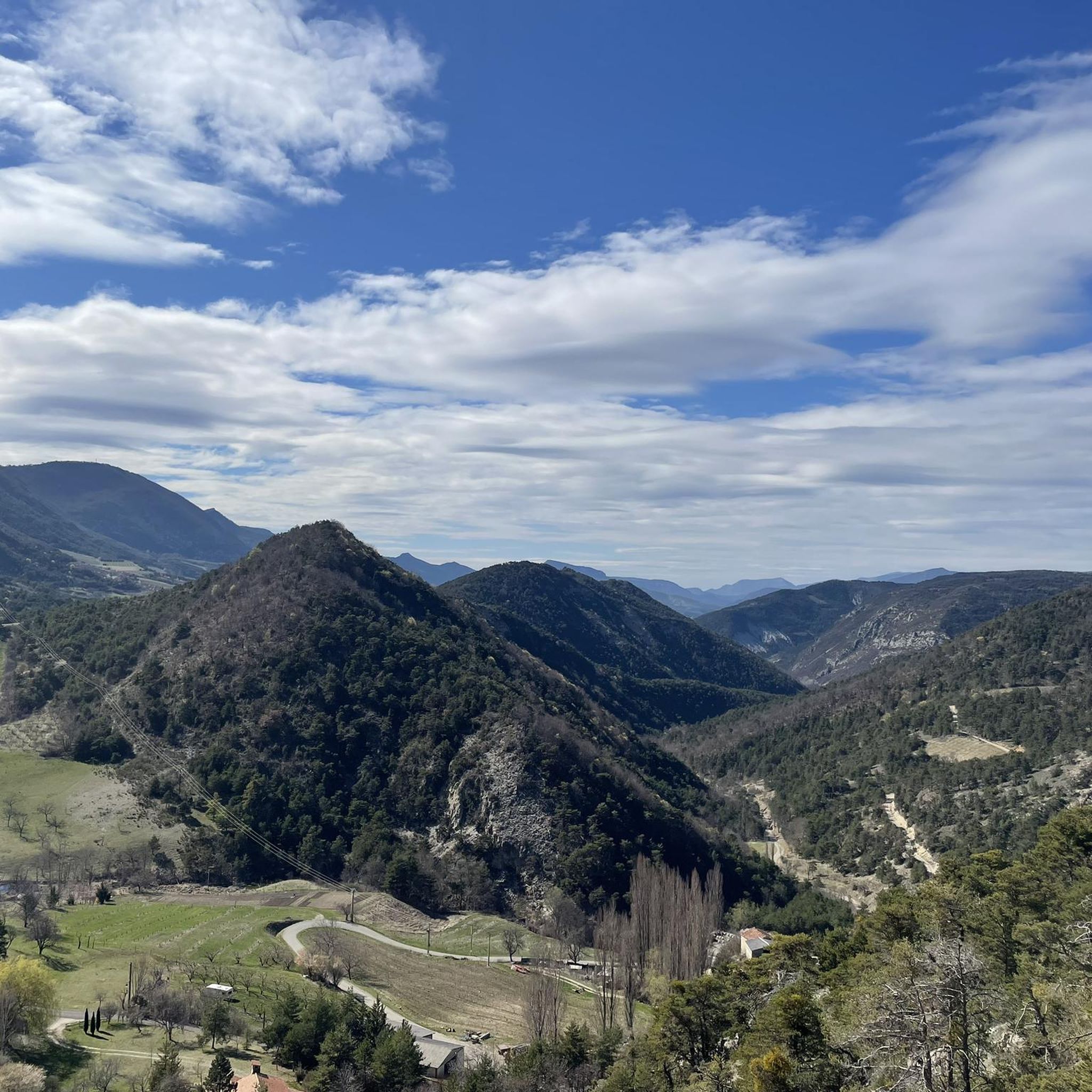
From the summit of Arsuc (1460m), a breathtaking view awaits you.
0
0
The Col de Percy culminates at 1,302 meters above sea level. It offers you a panorama of the surrounding mountains and Mont Ventoux. You can park your car here, if necessary.
1
0
We reach the Col d'Izon, 1342m, after crossing a pine forest.
1
0
In the forest of Tussie, the most observant will have the chance to see the mythical "Venus slipper", an orchid difficult to confuse with another.
2
0

The Col de Perty culminates at 1302 meters. It offers you a breathtaking panorama of the surrounding mountains and Mont Ventoux. Coming from the east the average angle of ascent is 5.59% with a maximum of 7.7% over a distance of 8.5 kilometers. You will then be rewarded for your effort with a very nice descent of more than 20 kilometers towards Buis-les-Baronnies.
3
0

Small typical village which shelters a Benedictine priory classified historical monument, founded in 988.
1
0
Frequently Asked Questions
How many hiking trails are available around Chauvac-Laux-Montaux?
There are over 45 hiking trails around Chauvac-Laux-Montaux, offering a variety of options for different skill levels. This includes 11 easy routes, 29 moderate, and 7 difficult trails.
Are there any easy hikes suitable for beginners or families?
Yes, there are several easy hikes. For a short and accessible option, consider The mountain of l'Arsuc from the Col de Perty, which is 1.3 miles (2.1 km) long and offers accessible views from the pass.
What kind of terrain can I expect on the hiking trails?
The region is characterized by hilly terrain, mountain passes, and forested areas. You'll find varied elevations, from gentle slopes to more challenging ascents, often with views of the surrounding pre-Alpine environment.
Are there any challenging routes for experienced hikers?
Yes, for experienced hikers seeking a challenge, there are 7 difficult routes. One such option is the Izon Pass – Chamouse Mountain loop from Somécure, which is a demanding 9.7 miles (15.6 km) trail with significant elevation gain.
Are there circular hiking routes in the area?
Yes, many routes are circular. A popular moderate circular option is the Chamouse Mountain – Perty Pass loop from Col de Perty, covering 6.4 miles (10.3 km) through varied mountain terrain.
What are some interesting landmarks or attractions I can see while hiking?
The area is known for its mountain passes. You can explore highlights like Perty Pass, Saint-Jean Pass, and Col d'Aulan. The charming settlement of Orpierre is also nearby.
What do other hikers enjoy most about the trails in Chauvac-Laux-Montaux?
The trails are highly rated by the komoot community, with an average score of 4.5 stars from over 150 reviews. Hikers often praise the varied terrain, the scenic mountain views, and the well-maintained paths that cater to different ability levels.
Is it possible to hike with dogs in Chauvac-Laux-Montaux?
While specific regulations can vary, generally, dogs are welcome on trails in the Drôme department, especially if kept on a leash. It's always recommended to check local signage and ensure your dog is well-behaved and doesn't disturb wildlife or other hikers.
Are there any routes that start from the village of Saint-André-de-Rosans?
Yes, you can find routes starting from Saint-André-de-Rosans. For example, the Saint-André-de-Rosans loop from Saint-André-de-Rosans is a moderate 4.6 miles (7.4 km) hike that explores the local surroundings.
What is the best time of year to go hiking in this region?
Given the pre-Alpine environment, spring and autumn generally offer the most pleasant hiking conditions with mild temperatures and vibrant scenery. Summer can also be good, but it's advisable to start early to avoid the midday heat, especially on more exposed trails. Winter hiking is possible but may require appropriate gear for snow and ice at higher elevations.
Are there options for longer, full-day hikes?
Yes, several routes are suitable for full-day excursions. The Izon Pass – Chamouse Mountain loop from Somécure, for instance, is nearly 10 miles long and takes several hours to complete, offering a substantial day out in the mountains.
Most popular routes around Chauvac-Laux-Montaux
Most popular attractions around Chauvac-Laux-Montaux

Get inspired with the komoot mobile app


Explore more
Browse the best Hikes in other regions.
