The best road cycling routes around Rumersheim
4.6
(576)
9,678
riders
223
rides
Road cycling routes around Rumersheim-le-Haut are set within the scenic Alsace region of France, providing access to diverse cycling paths. The area is characterized by a charming rural environment, featuring the prominent Canal du Rhône au Rhin, which offers a mostly flat cycling path. Gentle hills and vineyards typical of the Alsace Wine Route provide a picturesque backdrop for many routes. This region offers a network of paved surfaces suitable for road bikes, catering to various cycling preferences.
Best road…
Last updated: May 19, 2026
5.0
(1)
21
riders
43.7km
01:38
50m
50m
Easy road ride. Great for any fitness level. Mostly well-paved surfaces and easy to ride.
16
riders
57.5km
02:20
320m
320m
Moderate road ride. Good fitness required. Mostly well-paved surfaces and easy to ride.

Sign up for free
5.0
(2)
26
riders
Moderate road ride. Good fitness required. Some segments of this route may be unpaved and difficult to ride.
12
riders
34.8km
01:18
40m
40m
Easy road ride. Great for any fitness level. Mostly well-paved surfaces and easy to ride.
13
riders
Easy road ride. Great for any fitness level. Mostly well-paved surfaces and easy to ride.
Get access to more routes and recommendations from other explorers.
Sign up for free
Already have an account?
Our route recommendations are based on thousands of hikes, rides, and runs completed by other people on komoot.
Start today with a free account
Your next adventure awaits.
Login or Signup

Tips from the Community

A nod to the famous fried carp festival, the local kilbe, which takes place every August and draws crowds to the dance floor... to enjoy traditional carp, fries, and salads specially prepared by volunteers. The other side of the shelter celebrates the conscripts and subsequent classes, who bring life to the village and the marquee throughout the kilbe.
0
0

The church cannot be visited at this time as it is closed for renovations.
2
0

🏘️ Grißheim Town Hall is a striking historic building in the Grißheim district of Neuenburg am Rhein. It serves as the seat of the local administration. Citizen consultations, office hours with the mayor, and meetings of the local council are held here.
1
0

A pleasant section to ride, with moderate climbs and little traffic. There were a few racing cyclists on the road.
0
0

Nice town near the German-French border
1
0

A friendly service from the municipality of Hirtzfelden.
1
0
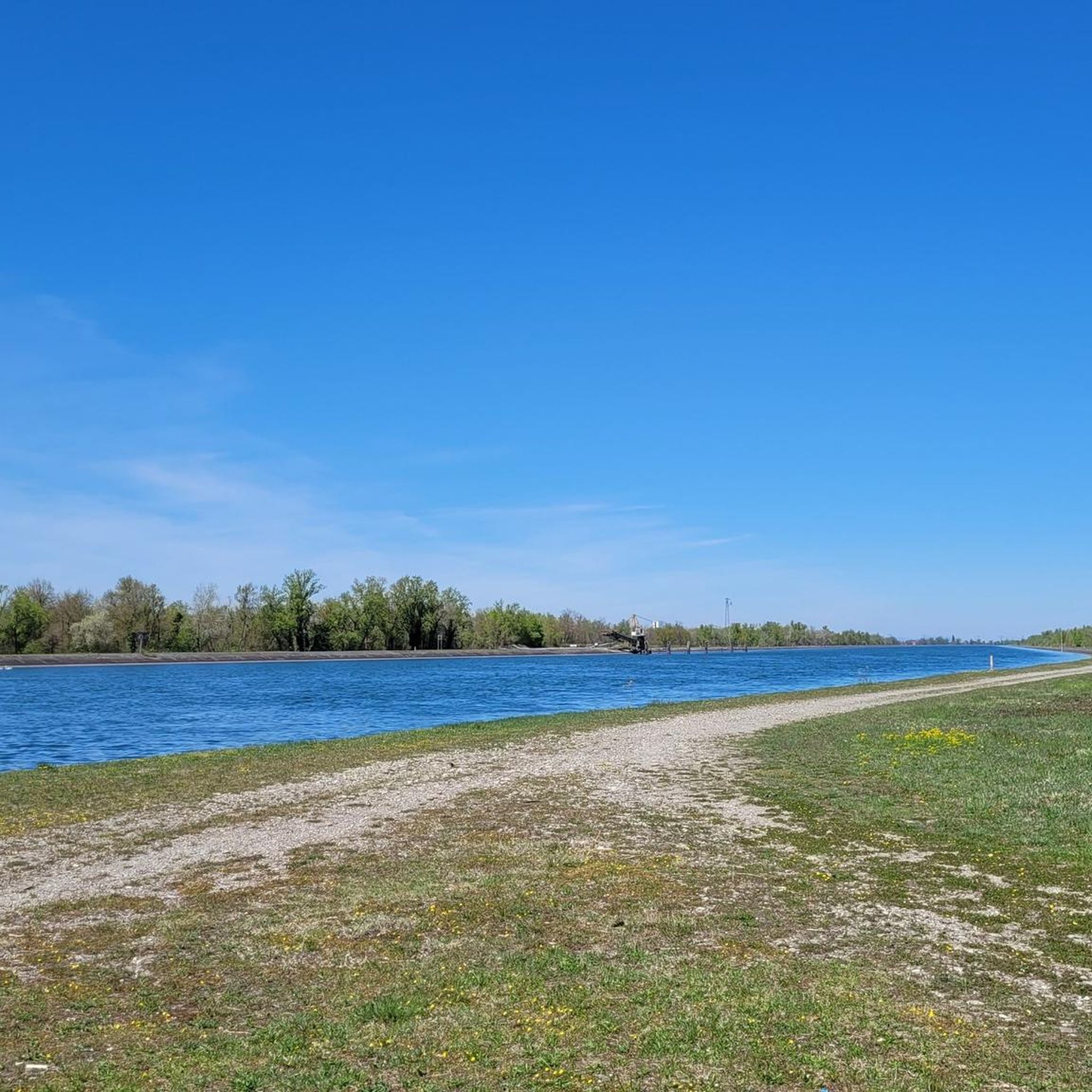
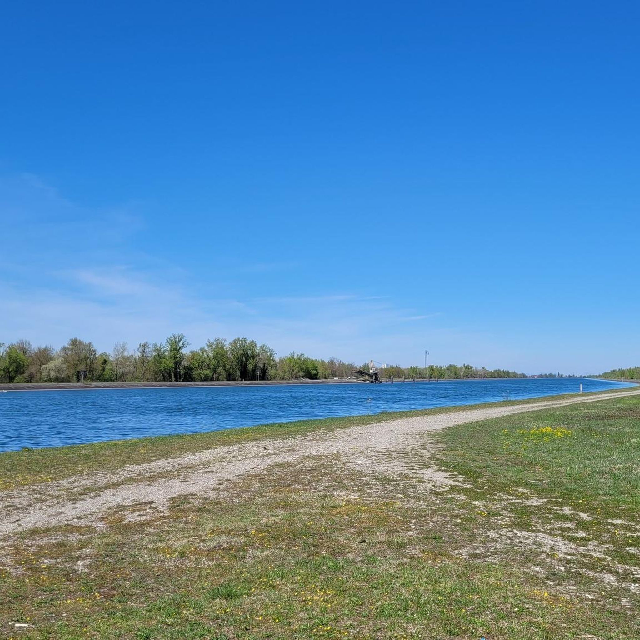
The Rhine island lies between Hartheim on the German side and Fessenheim on the French side. The Old Rhine borders the island's eastern shore, which faces the German side, and the Grand Canal d’Alsace on the western shore, which faces the French side. The narrow, approximately 1 km long stretch of road sees little traffic and is rather atypical for the area, yet quite charming. This so-called dry floodplain was formed by erosion following the straightening of the Rhine by the civil engineer Tulla. It provides habitat for a number of rare to very rare plant and animal species. Sources ------------ Wikipedia: https://de.wikipedia.org/wiki/Trockenaue NABU: https://www.nabu-noerdliches-markgraeflerland.de/galerie/exkursion-rheininsel-fessenheim-mai-2019/ University of Freiburg: https://www.vegetationskunde.uni-freiburg.de/forschung/projekte/trockenaue
1
0

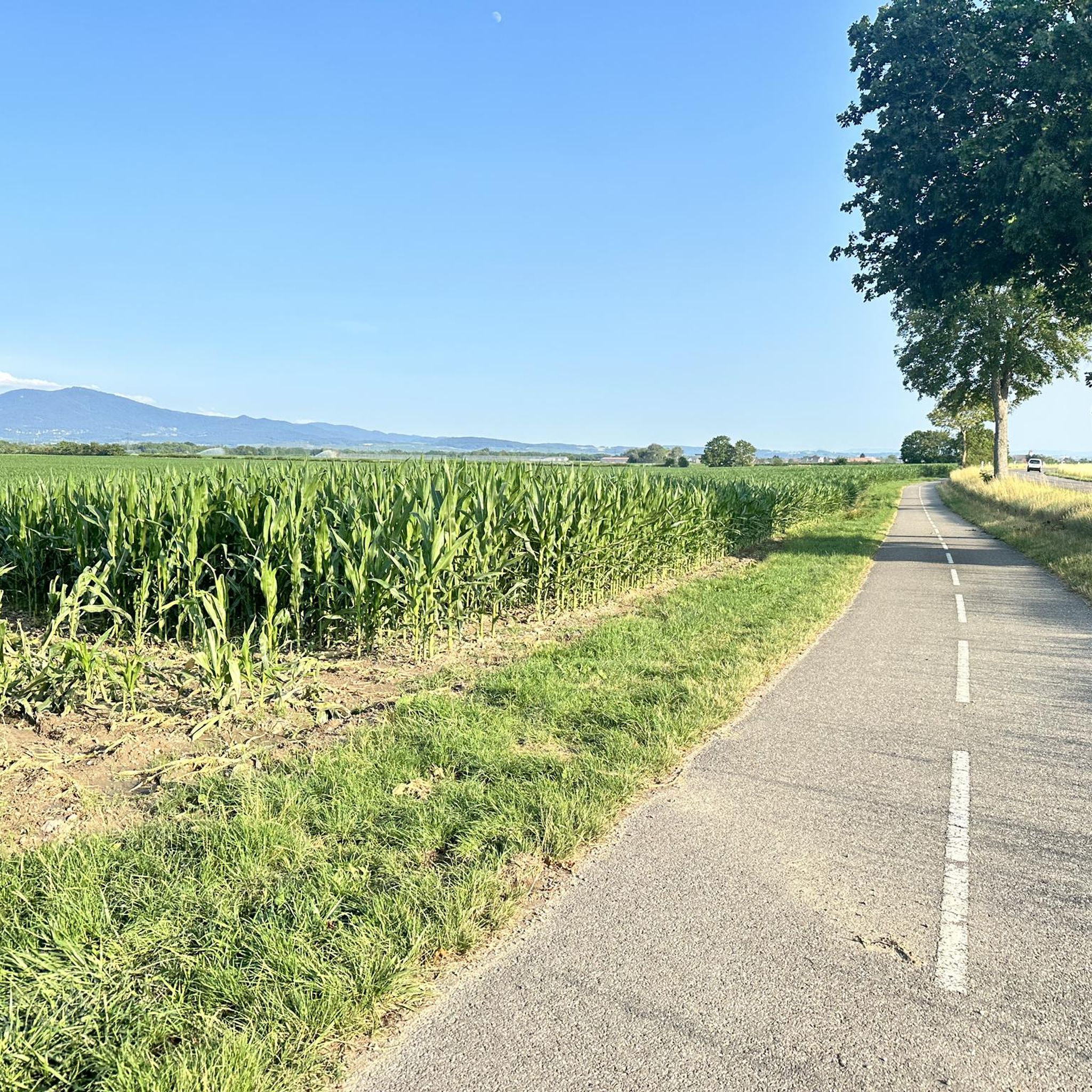
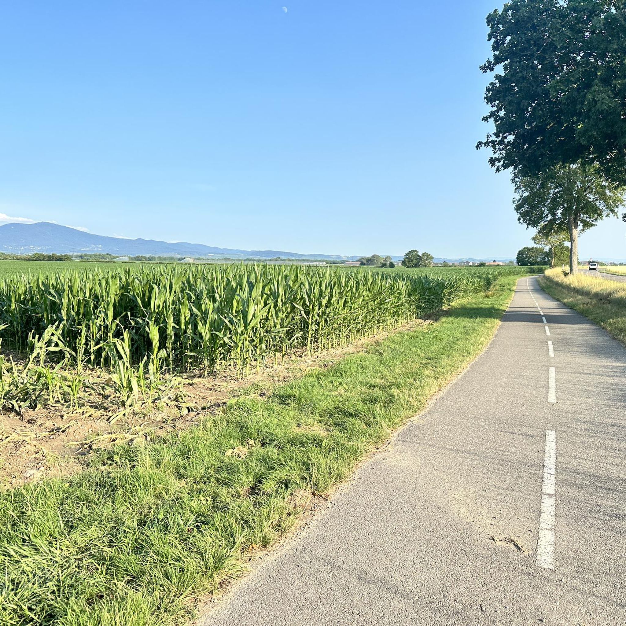
Here you can see the Upper Rhine Plain: flat up to the foothills of the Black Forest.
0
0
Frequently Asked Questions
How many road cycling routes are available around Rumersheim?
There are over 220 road cycling routes around Rumersheim, catering to various skill levels. You'll find a mix of easy, moderate, and challenging options to explore the scenic Alsace region.
Are there easy road cycling routes suitable for beginners or families?
Yes, Rumersheim offers many easy routes. A great option is the Canal des Mines de Potasse – Car-free loop from Munchhouse, which is 43.7 km long and follows a dedicated car-free path, perfect for a relaxed ride. Another easy route is the Rue de Balgau 🚴♂ – Hydroelectric screw lock loop from Munchhouse, offering a gentle 34.8 km ride.
What kind of landscapes can I expect on road cycling routes near Rumersheim?
The routes around Rumersheim are characterized by a charming rural environment. You'll often cycle alongside the scenic Canal du Rhône au Rhin and through the gentle hills and vineyards typical of the Alsace Wine Route, providing a picturesque backdrop.
Are there any challenging road cycling routes for experienced riders?
Yes, for more experienced riders, routes like the Vineyards of Rouffach – Bannstein Pass loop from Munchhouse offer varied terrain and include a pass, providing a moderate challenge with significant elevation gain over its 57.8 km distance.
What attractions can I see along the road cycling routes?
Many routes pass by interesting landmarks. You might encounter historical sites like the Malteser Castle, Heitersheim, or enjoy the natural beauty of the Rhône–Rhine Canal. The region is also dotted with charming Alsatian villages and vineyards.
Are there circular road cycling routes available?
Yes, many routes around Rumersheim are designed as loops. For example, the Malteser Castle Heitersheim – Picturesque Britzingen loop from Blodelsheim is a 50.5 km circular trail that takes you through picturesque landscapes and past historical sites.
What do other road cyclists say about the routes in Rumersheim?
The road cycling routes in Rumersheim are highly rated by the komoot community, with an average score of 4.6 stars from over 500 reviews. Cyclists often praise the well-maintained paved surfaces, the scenic canal paths, and the beautiful vineyard landscapes.
Can I find parking near the starting points of road cycling routes?
Yes, some routes offer convenient parking options. For instance, the Schwärze Trailhead and Picnic Area is a designated parking spot that can serve as a starting point for exploring nearby routes.
Are there any routes that offer views of lakes or natural water features?
Absolutely. The region features several lakes and the prominent Canal du Rhône au Rhin. You can find routes that pass by the Grißheim Gravel Pit Lake or the Wuhrloch Lake, offering serene waterside views.
What is the best time of year for road cycling in Rumersheim?
The Alsace region, including Rumersheim, is beautiful for cycling from spring through autumn. Spring offers blooming landscapes, while autumn provides stunning vineyard colors. The weather is generally mild during these seasons, making for pleasant riding conditions.
Are there any routes that are particularly good for long-distance road cycling?
For longer distances, you can combine several routes or explore sections of the EuroVelo 15, also known as the Rhine Cycle Route, which is easily accessible from Rumersheim and offers extensive, well-established cycling paths along the Canal du Rhône au Rhin.
Are there any routes that pass through historical villages or towns?
Many routes in the wider Alsace region will lead you through charming Alsatian villages known for their traditional half-timbered houses. While specific routes listed here might not directly enter them, Rumersheim serves as an excellent base to cycle towards towns like Colmar or picturesque villages such as Eguisheim and Riquewihr.
Most popular routes around Rumersheim
Most popular attractions around Rumersheim

Get inspired with the komoot mobile app


Explore more
Browse the best Road cycling routes in other regions.
