Port-Saint-Louis-Du-Rhône
Port-Saint-Louis-Du-Rhône
The best walks and hikes around Port-Saint-Louis-Du-Rhône
4.2
(98)
807
hikers
51
hikes
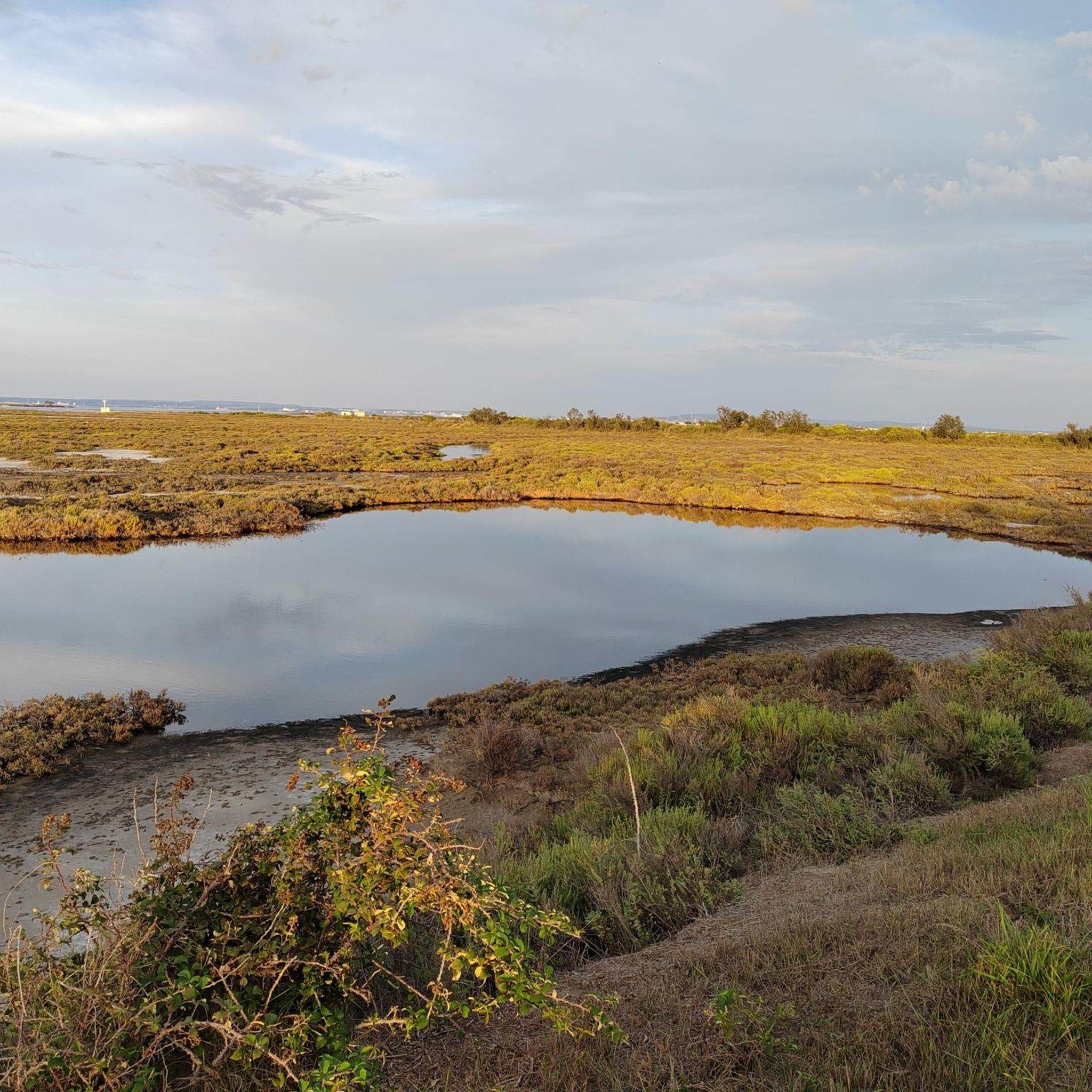
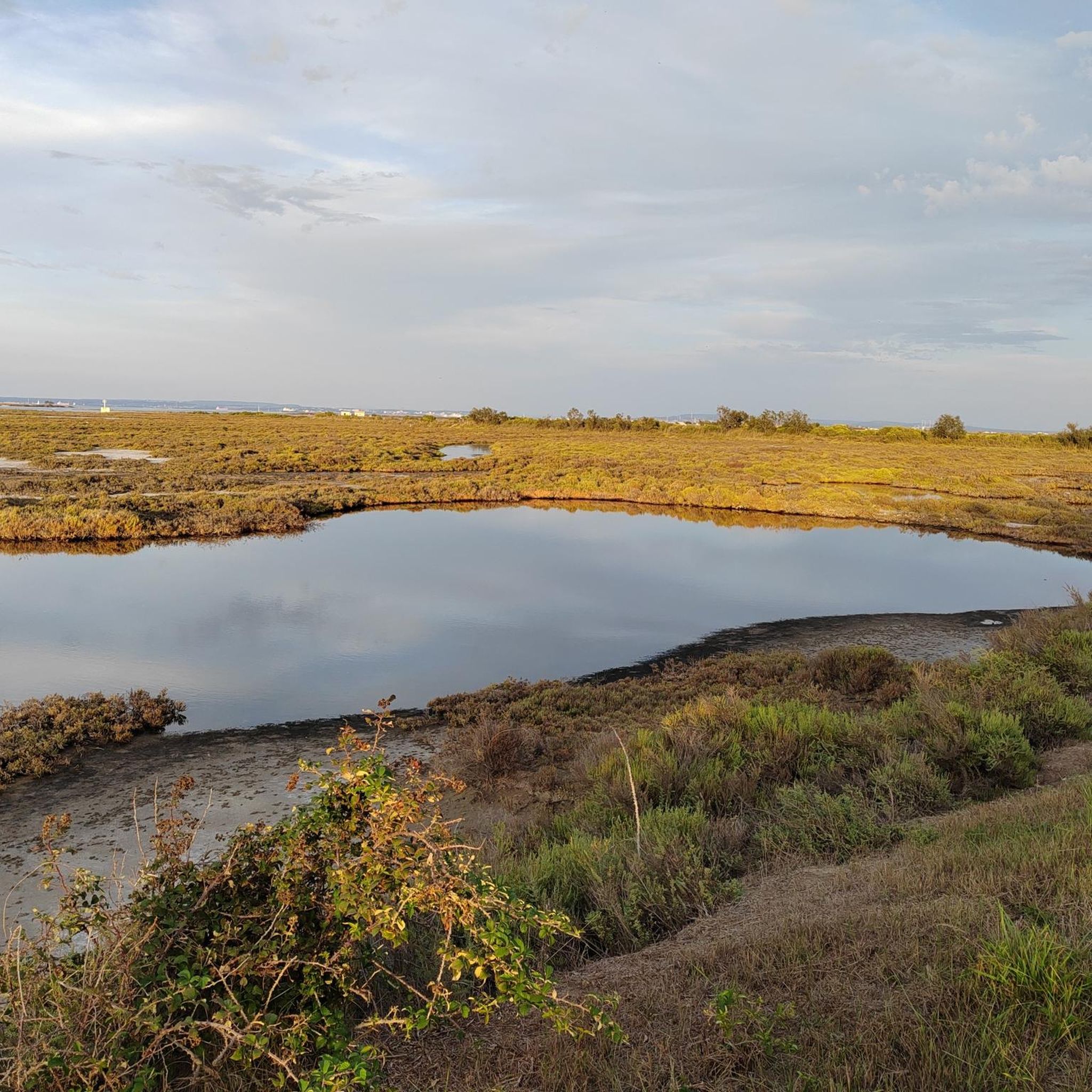
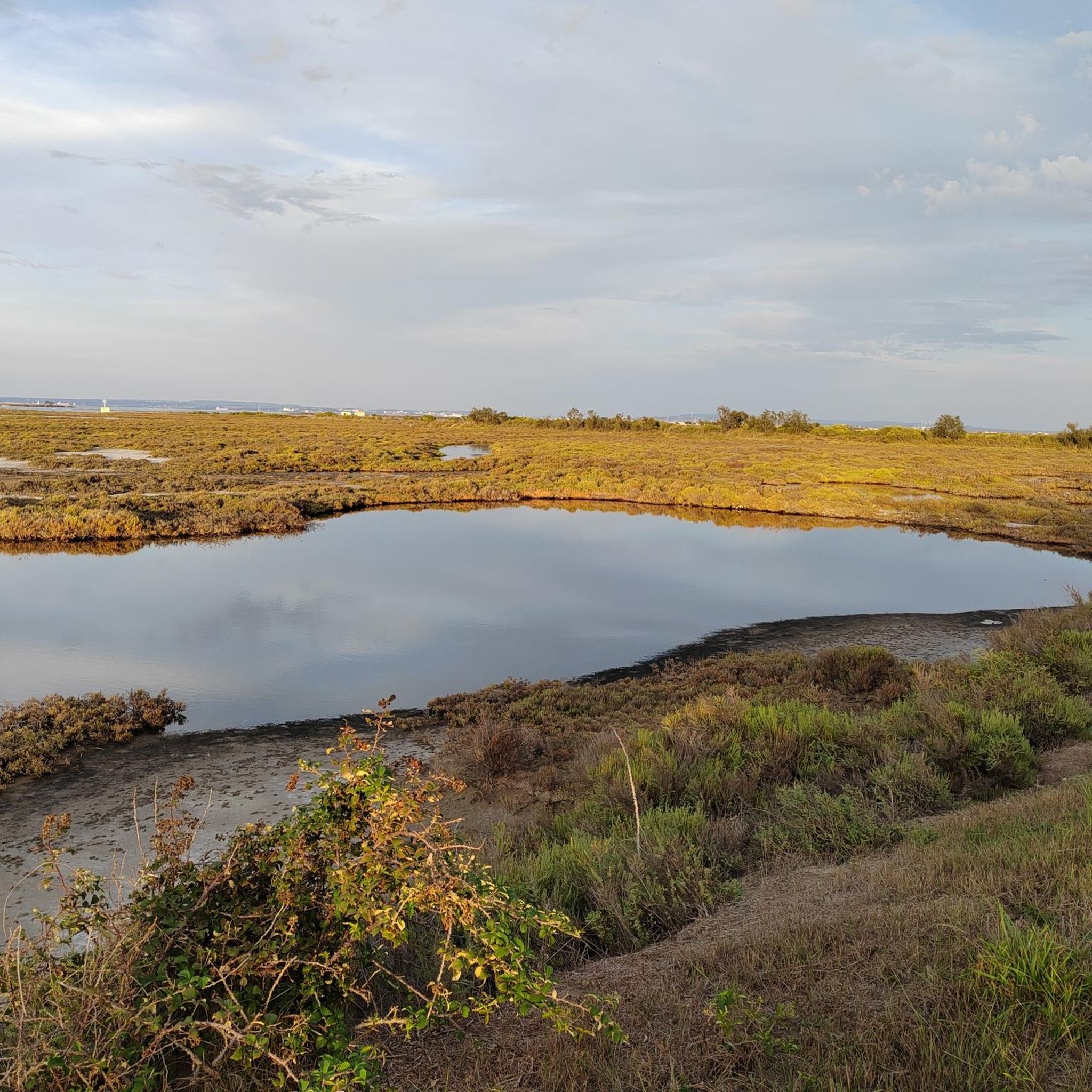
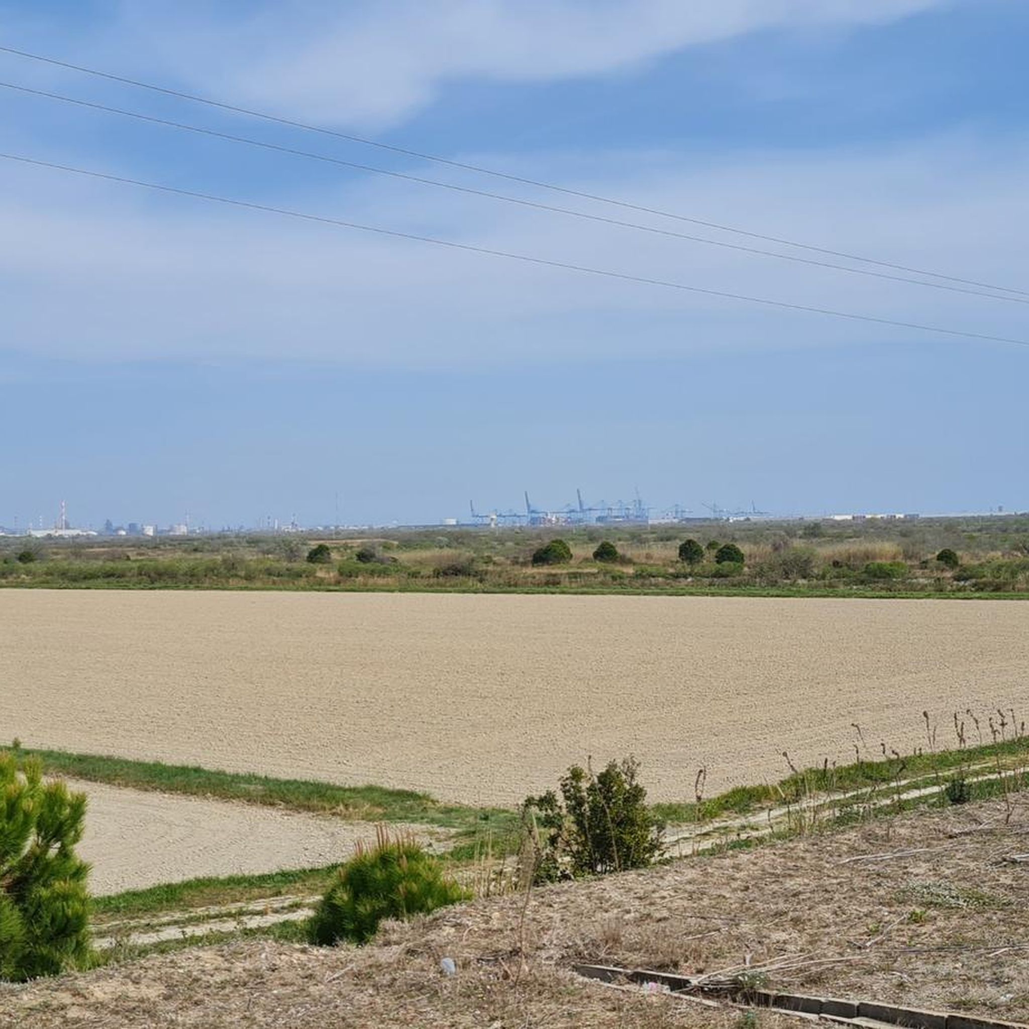
Hiking around Port-Saint-Louis-Du-Rhône offers access to the unique landscapes of the Camargue region, characterized by its Rhône delta, extensive wetlands, and coastal areas. The terrain is generally flat, featuring salt marshes, lagoons, and sandy stretches. This environment provides opportunities for observing diverse birdlife and the distinctive flora of the Rhône estuary.
Best hiking trails around Port-Saint-Louis-Du-Rhône
- The most popular hiking route is Relaxation area overlooking the Rhône – La Palissade loop from Port-Saint-Louis-du-Rhône, a 4.9 miles (7.9 km) trail…
Last updated: July 22, 2026
4.0
(1)
36
hikers
Easy hike. Great for any fitness level. Easily-accessible paths. Suitable for all skill levels.
3.2
(5)
53
hikers
Easy hike. Great for any fitness level. Easily-accessible paths. Suitable for all skill levels.

Sign up for free
4.0
(2)
45
hikers
Easy hike. Great for any fitness level. Easily-accessible paths. Suitable for all skill levels.
4.0
(5)
20
hikers
29.0km
07:18
10m
10m
Hard hike. Very good fitness required. Easily-accessible paths. Suitable for all skill levels.
4.4
(7)
27
hikers
Easy hike. Great for any fitness level. Easily-accessible paths. Suitable for all skill levels.
Get access to more routes and recommendations from other explorers.
Sign up for free
Already have an account?
Our route recommendations are based on thousands of hikes, rides, and runs completed by other people on komoot.
Start today with a free account
Your next adventure awaits.
Login or Signup
Popular around Port-Saint-Louis-Du-Rhône

Other adventures around Port-Saint-Louis-Du-Rhône

Tips from the Community

A detour to the viewing point is worthwhile! From the slightly higher vantage point, you have a better view of the scale of the saltworks. In the sunlight, you can see the pools shimmering in various shades of pink.
0
0

An interesting viewpoint of the salt pans
0
0

silence and peace surrounded by marsh flora and fauna
0
0

Very specific to the Camargue, the world of sansouires and salt marshes
0
0

It looks a bit gray, but it was an achievement in social housing at the end of the 19th century. Built for the many foreign workers, especially from Greece
1
0

Caution can be challenging in headwinds.
1
0

You are here in the heart of the Camargue, surrounded by old saltworks and ponds. The Fangassier pond is the one and only breeding ground for pink flamingos. For nearly 20 years, the Camargue Regional Park has ensured the surveillance and enhancement of this unique environment. The pond is part of the property of the Conservatoire du Littoral.
3
0
Frequently Asked Questions
How many hiking trails are available around Port-Saint-Louis-Du-Rhône?
There are over 40 hiking trails around Port-Saint-Louis-Du-Rhône listed on komoot, offering a variety of experiences across the unique Camargue landscape.
What kind of terrain can I expect on hikes in Port-Saint-Louis-Du-Rhône?
The terrain in Port-Saint-Louis-Du-Rhône is generally flat, characterized by the Rhône delta, extensive wetlands, salt marshes, lagoons, and sandy coastal stretches. These environments are perfect for observing diverse birdlife and the distinctive flora of the Rhône estuary.
Are there easy hiking trails suitable for beginners in Port-Saint-Louis-Du-Rhône?
Yes, there are 23 easy hiking trails in the area. A great option for beginners is the Relaxation area overlooking the Rhône – La Palissade loop from Port-Saint-Louis-du-Rhône, which is 4.9 miles (7.9 km) long and offers pleasant views without significant elevation changes.
What are some family-friendly hiking options in the region?
Many of the easy, flat trails are suitable for families. The Relaxation area overlooking the Rhône loop from Réserve de biosphère de Camargue (zone centrale) is a shorter, 3.1-mile (5 km) loop that is ideal for a leisurely family walk.
Can I hike with my dog in Port-Saint-Louis-Du-Rhône?
Many trails in the Camargue region are dog-friendly, especially those through natural areas and along the coast. However, always keep your dog on a leash, especially in areas with wildlife or livestock, and be mindful of local regulations in nature reserves.
What is the best time of year to go hiking in Port-Saint-Louis-Du-Rhône?
Spring and autumn are generally the best times for hiking in Port-Saint-Louis-Du-Rhône. The weather is milder, and you can enjoy the vibrant birdlife. Summers can be very hot, and winters can be damp and windy, though still offering unique landscapes.
Are there any circular hiking routes available?
Yes, many routes in the area are circular. For example, the Mas des Crottes Saltworks loop from Salin-de-Giraud is an easy 3.9-mile (6.2 km) path that explores the unique saltworks landscape in a loop.
What kind of wildlife can I expect to see on the trails?
The Camargue is renowned for its rich biodiversity. Hikers often spot flamingos, wild horses, and bulls, especially around the wetlands and ponds. The Flamingos at Étang de Vaccarès is a particularly popular spot for birdwatching.
What are some notable attractions or landmarks to see while hiking?
Along the trails, you can explore the Sea wall, visit Piémanson Beach, or observe the unique ecosystem around Engrenier Pond. The region's natural beauty itself is a major highlight.
What do other hikers enjoy most about the trails in Port-Saint-Louis-Du-Rhône?
The area is highly rated by the komoot community, with an average score of 4.3 stars from over 80 reviews. Hikers frequently praise the unique, flat landscapes, the abundance of wildlife, and the peaceful atmosphere of the coastal and wetland paths.
Are there any longer or more challenging hikes in the area?
While much of the terrain is flat, there are longer routes for those seeking a challenge. The Fangassier Pond – Sea wall loop from Barcarin is a difficult 17.9-mile (28.9 km) trail that takes about 7 hours to complete, offering an extensive exploration of coastal areas.
Where can I find parking for hiking trailheads?
Many trailheads, especially those starting from Port-Saint-Louis-du-Rhône or nearby villages like Salin-de-Giraud, offer designated parking. For example, the WoMo parking space – Port Napoléon Marina loop from Port-Saint-Louis-du-Rhône starts near a parking area, making it convenient for visitors.
Most popular routes around Port-Saint-Louis-Du-Rhône
Most popular attractions around Port-Saint-Louis-Du-Rhône

Get inspired with the komoot mobile app


Explore more
Browse the best Hikes in other regions.
