The best cycling routes around Occhiatana
4.5
(331)
3,952
riders
79
rides
Touring cycling around Occhiatana features a landscape characterized by significant elevation changes, offering challenging routes through mountainous terrain and along coastal areas. The region includes numerous hills and passes, providing varied gradients for cyclists. This area is defined by its undulating topography, with routes often traversing both inland villages and scenic viewpoints overlooking the sea.
Best touring cycling routes around Occhiatana
- The most popular touring cycling route is Belgodère – Village with mountain views loop from Belgodère, a 35.4…
Last updated: May 11, 2026
46
riders
144km
09:45
2,360m
2,360m
Hard bike ride. Very good fitness required. You may need to push your bike for some segments of this route.
5.0
(1)
23
riders
94.0km
06:17
1,490m
1,490m
Hard bike ride. Very good fitness required. Mostly paved surfaces. Suitable for all skill levels.

Sign up for free
5.0
(1)
22
riders
25.0km
01:42
420m
420m
Moderate bike ride. Good fitness required. Mostly paved surfaces. Suitable for all skill levels.
11
riders
7.11km
00:27
70m
70m
Easy bike ride. Great for any fitness level. Mostly paved surfaces. Suitable for all skill levels.
5.0
(1)
5
riders
7.85km
00:31
100m
100m
Easy bike ride. Great for any fitness level. Mostly paved surfaces. Suitable for all skill levels.
Get access to more routes and recommendations from other explorers.
Sign up for free
Already have an account?
Our route recommendations are based on thousands of hikes, rides, and runs completed by other people on komoot.
Start today with a free account
Your next adventure awaits.
Login or Signup

Tips from the Community

mega super beautiful here. it is worth a visit.
1
0

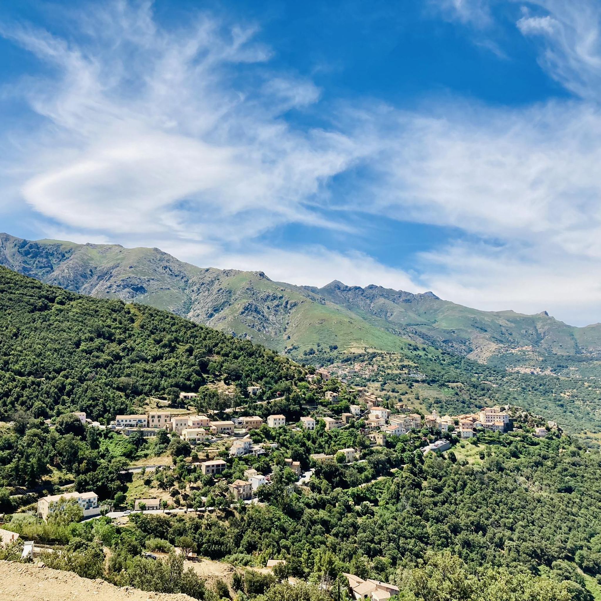
The village has had its Church of Saint Thomas since 1269, built by Andrea Malaspina. Amidst its arcades and numerous so-called "venelles," it houses a 16th-century image of the Virgin and Child, a 17th-century holy water font, and a marble statue of Saint Anthony the Baptist, discovered near Lozari. The latter, coveted by several communities, was therefore transported by oxen on a cart across the region and given to the village where the animals first stopped.
0
0


A somewhat untypical café for Corsica. Charming and funny.
0
0

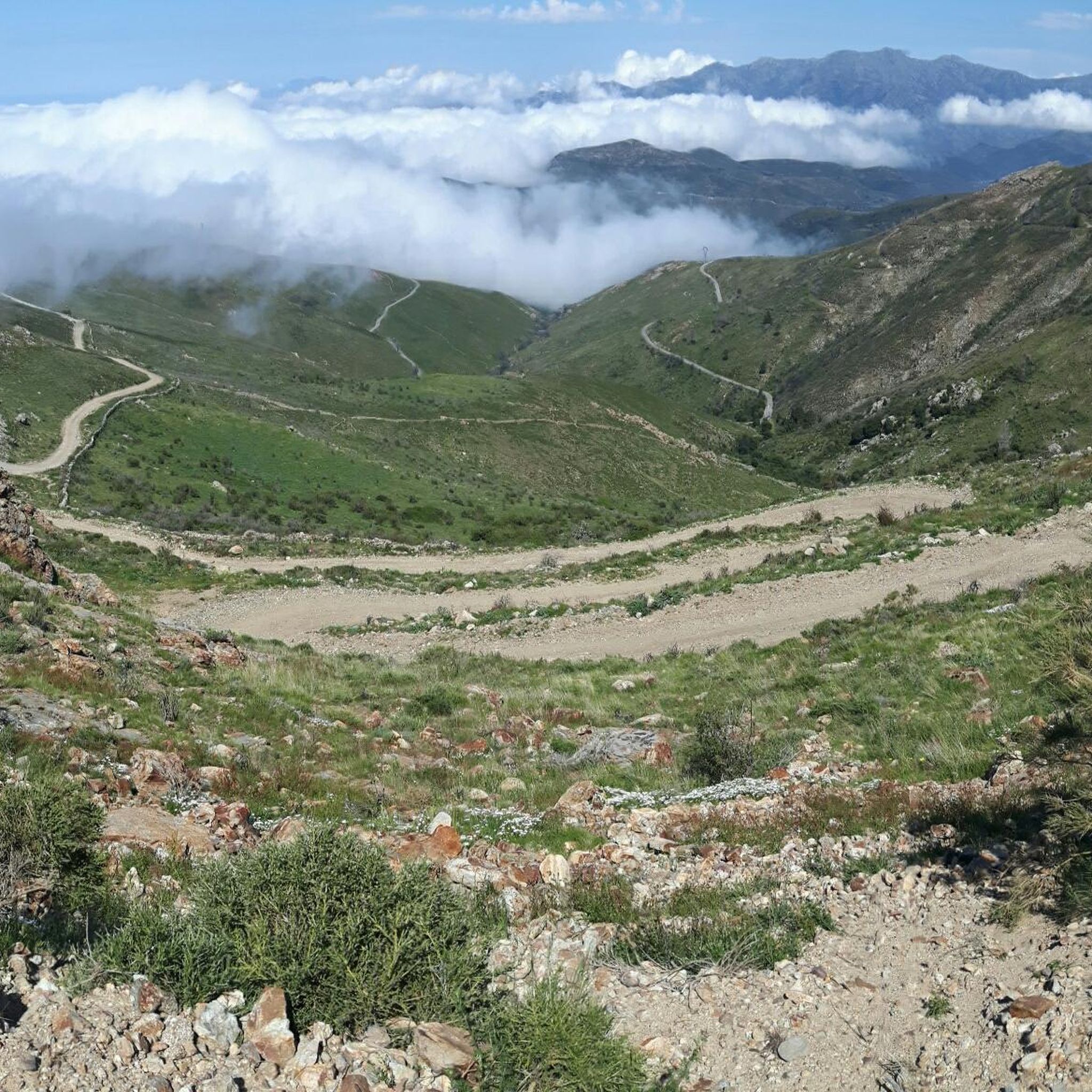
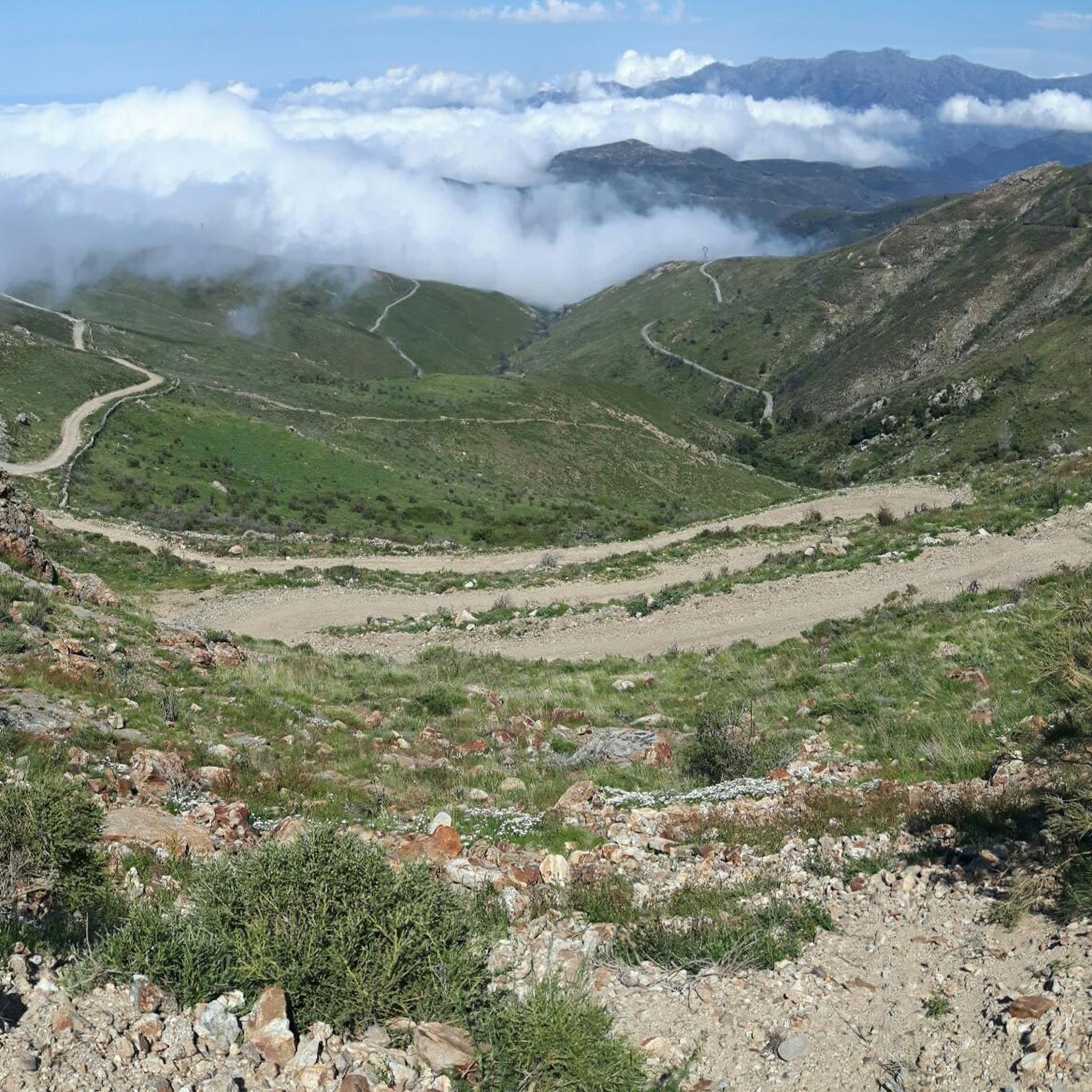
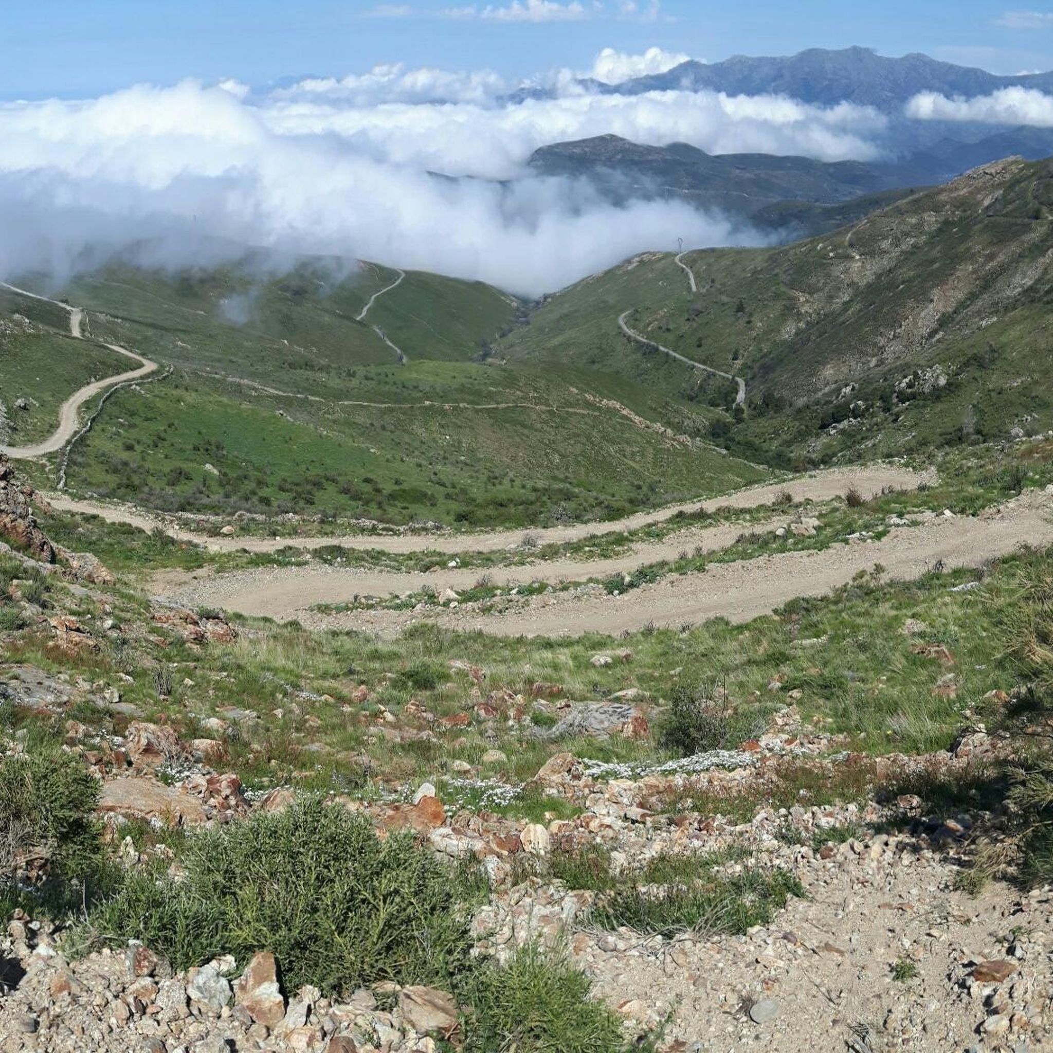
The pass itself has a provisional pass sign at the junction to a fenced antenna system, but the D 151 towards Montegrosso as a mountain road climbs by about 15 meters in altitude over the next undulating 800 meters.
1
0
For those who are planning a detour to the Forêt Domaniale de Bonifatu or who are thinking of driving past Calvi and heading southwest over the Col de Marsolino, it even represents a shortcut via a beautiful hillside road. Which brings us to the most important point: the most beautiful panorama of the bay of Calvi and the ridge towards Monte Cinto is probably from the road over the Col de Salvi. This means that on the D 151 leading over the pass, despite the very moderate traffic volume, you may well come across a coach that is too big for the road, which is mostly only one and a half lanes wide.
1
1
The Col de Salvi is a quiet, very worthwhile connection option for racing cyclists who are heading towards Calvi from the (north)east via the Col de San Colombano or the Bocca di a Battaglia.
1
0
The municipalities of Lunghignano and Montemaggiore merged in 1972 to form the municipality of Saint-Rainier-de-Balagne. Saint-Rainier-de-Balagne was merged with Cassano on 1 January 1973 to form the municipality of Montegrosso, named after the Monte Grosso mountain range.
1
0
Frequently Asked Questions
How many touring cycling routes are available around Occhiatana?
There are over 90 touring cycling routes around Occhiatana, catering to various skill levels. The region features a mix of easy, moderate, and difficult paths, with 6 easy, 34 moderate, and 52 difficult routes.
What kind of terrain can I expect on touring cycling routes in Occhiatana?
Occhiatana's landscape is characterized by significant elevation changes, offering challenging routes through mountainous terrain and along coastal areas. You'll encounter numerous hills and passes, providing varied gradients, often traversing both inland villages and scenic viewpoints overlooking the sea.
Are there any family-friendly touring cycling routes in Occhiatana?
While many routes in Occhiatana feature significant elevation changes, there are a few easier options suitable for families. These routes typically have less demanding climbs and can be a great way to explore the region at a more relaxed pace. Look for routes marked as 'easy' in the komoot guide.
What are some challenging touring cycling routes for experienced riders?
For experienced touring cyclists seeking a challenge, routes like the Montemaggiore - Col de Salvi - Cateri – Montemaggiore loop from Belgodère offer extensive climbs and expansive vistas over 89 miles. Another demanding option is the Belgodère – View of Moltifao loop from Belgodère, covering 94 miles with substantial elevation gain.
Are there any circular touring cycling routes around Occhiatana?
Yes, many touring cycling routes in Occhiatana are designed as loops, allowing you to start and finish in the same location. Examples include the popular Belgodère – Village with mountain views loop from Belgodère and the shorter L'Île-Rousse loop from Monticello, which offers coastal views.
What are the best times of year for touring cycling in Occhiatana?
The spring and autumn months generally offer the most pleasant conditions for touring cycling in Occhiatana, with milder temperatures and less crowded roads. Summers can be hot, especially inland, while winters can bring cooler temperatures and potentially more challenging weather in mountainous areas.
What can I see along the touring cycling routes in Occhiatana?
Along the touring cycling routes, you can discover various natural and cultural attractions. Notable viewpoints include View of La Pietra Island, and you might pass through charming settlements like Sant' Antonino or Belgodère. The region also features unique natural monuments such as the Sculpted Rocks of the Fiume Tavignano.
Are there specific viewpoints or scenic spots on the touring cycling trails?
Many routes in Occhiatana offer stunning viewpoints due to the region's undulating topography. The Vista su L'Ile Rousse – Belgodère loop from Belgodère, for instance, provides panoramic views. Keep an eye out for designated viewpoints like View of La Pietra Island, which are often accessible from or near the cycling paths.
What do other touring cyclists say about the routes in Occhiatana?
The touring cycling routes in Occhiatana are highly rated by the komoot community, with an average score of 4.5 stars from over 300 reviews. Cyclists often praise the challenging climbs, the diverse landscapes ranging from mountains to coast, and the rewarding panoramic views.
Are there any permits required for touring cycling in Occhiatana?
Generally, no specific permits are required for touring cycling on public roads and designated paths in the Occhiatana region. However, always respect local regulations and private property signs, especially if venturing off established routes.
Where can I find parking near touring cycling trailheads in Occhiatana?
Parking availability varies by starting point. Many villages and towns, such as Belgodère or Monticello, which serve as common starting points for routes, offer public parking areas. It's advisable to check specific route descriptions or local maps for detailed parking information near your chosen trailhead.
Most popular attractions around Occhiatana

Get inspired with the komoot mobile app


Explore more
Browse the best Cycling routes in other regions.
