The best mountain hikes around Saint-Pierre-De-Genebroz
4.6
(10)
64
hikers
8
hikes
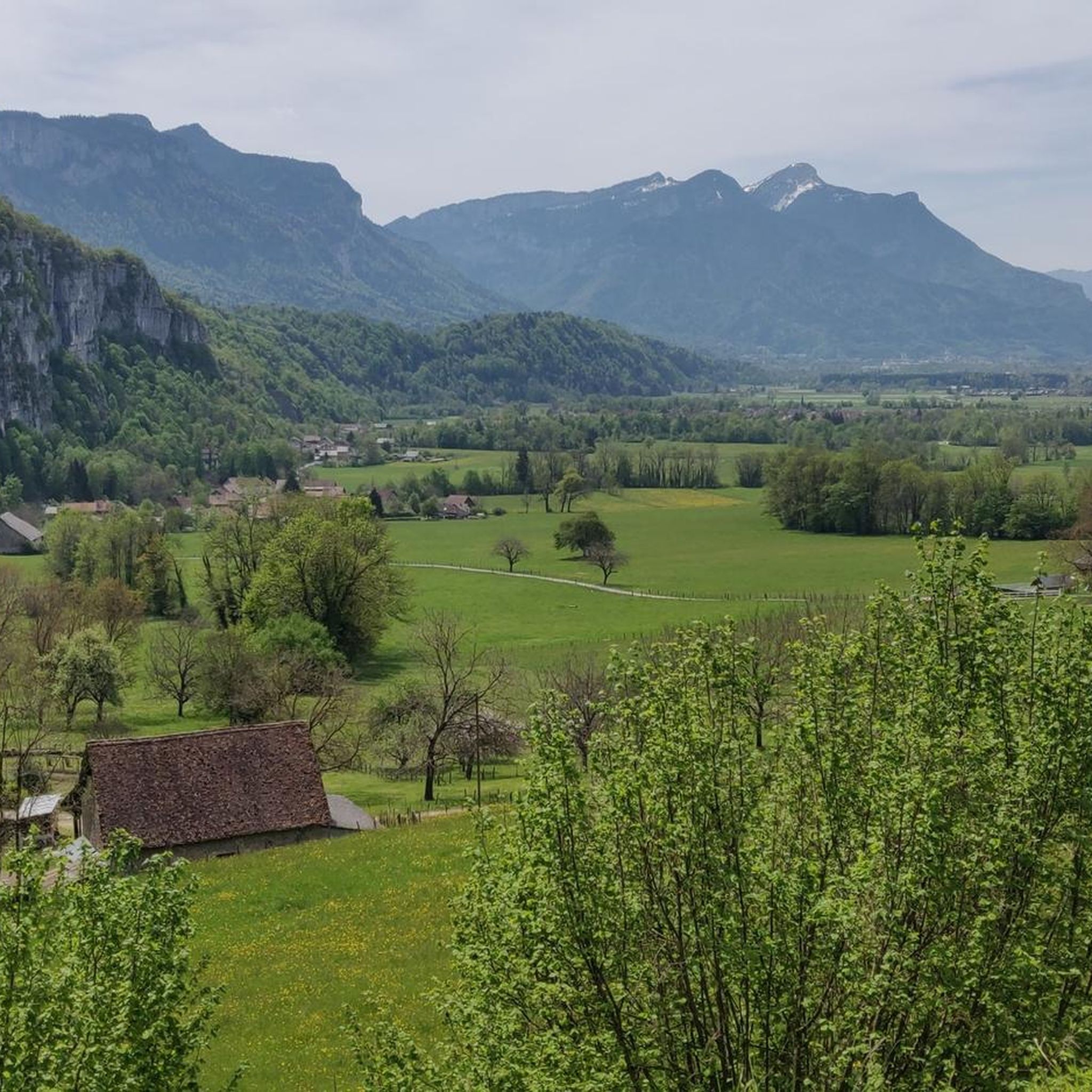
Mountaineering routes around Saint-Pierre-De-Genebroz traverse the rugged terrain of the Chartreuse Massif, characterized by its prominent limestone peaks, deep valleys, and extensive forests. The region offers challenging ascents and descents, with routes often leading through alpine meadows and rocky outcrops. This landscape provides a diverse environment for experienced mountaineers seeking elevation and technical challenges.
Best mountaineering routes around Saint-Pierre-De-Genebroz
- The most popular mountaineering route is Mount Outheran - 1686 m loop from Le Désert d'Entremont, a 5.8 miles (9.3…
Last updated: July 15, 2026
4.8
(5)
35
hikers
Hard mountaineering route. Good fitness required. Sure-footedness, sturdy shoes and alpine experience required.
5.0
(2)
9
hikers
9.43km
03:39
480m
480m
Hard mountaineering route. Good fitness required. Sure-footedness, sturdy shoes and alpine experience required.

Sign up for free
5.0
(1)
10
hikers
Moderate mountaineering route. Good fitness required. Mostly accessible paths. Sure-footedness required.
6
hikers
20.1km
08:01
1,210m
1,210m
Hard mountaineering route. Very good fitness required. Sure-footedness, sturdy shoes and alpine experience required.
3.0
(2)
6
hikers
14.0km
06:15
1,020m
1,020m
Hard mountaineering route. Very good fitness required. Sure-footedness, sturdy shoes and alpine experience required.
Get access to more routes and recommendations from other explorers.
Sign up for free
Already have an account?
Our route recommendations are based on thousands of hikes, rides, and runs completed by other people on komoot.
Start today with a free account
Your next adventure awaits.
Login or Signup
Popular around Saint-Pierre-De-Genebroz
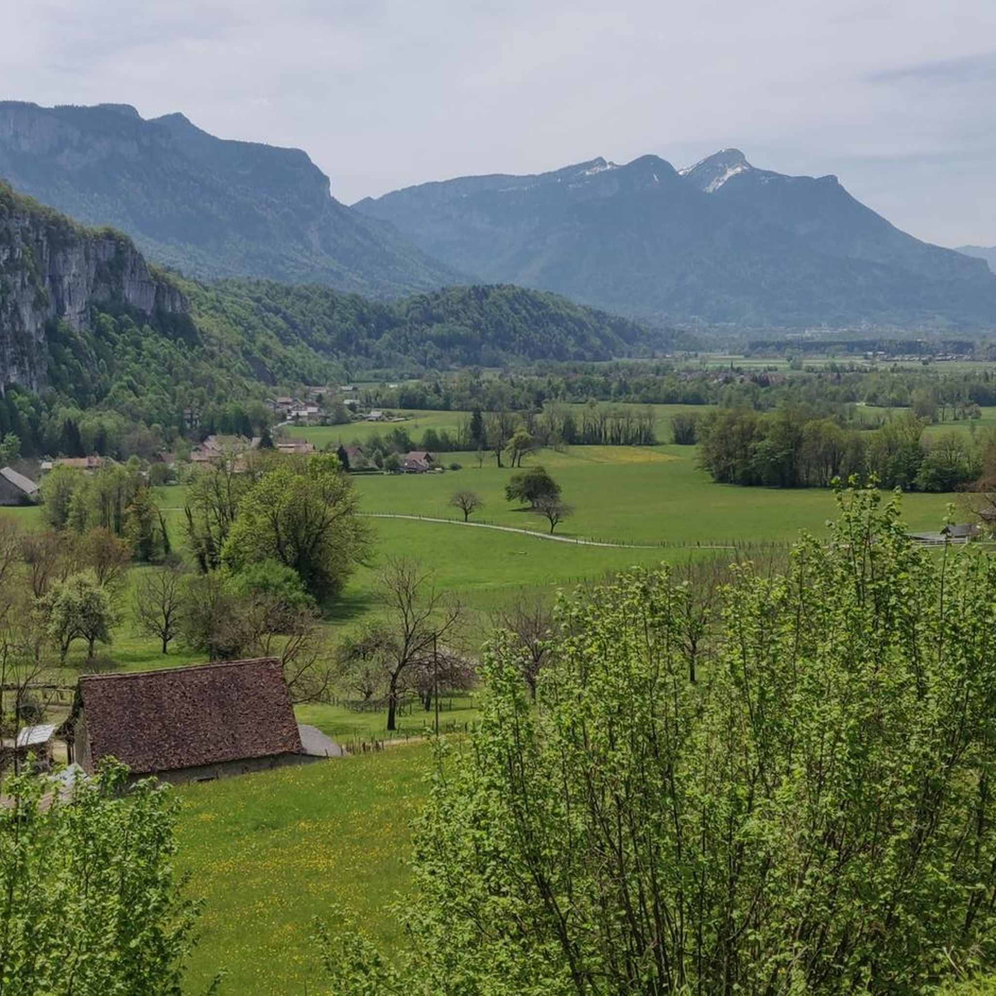
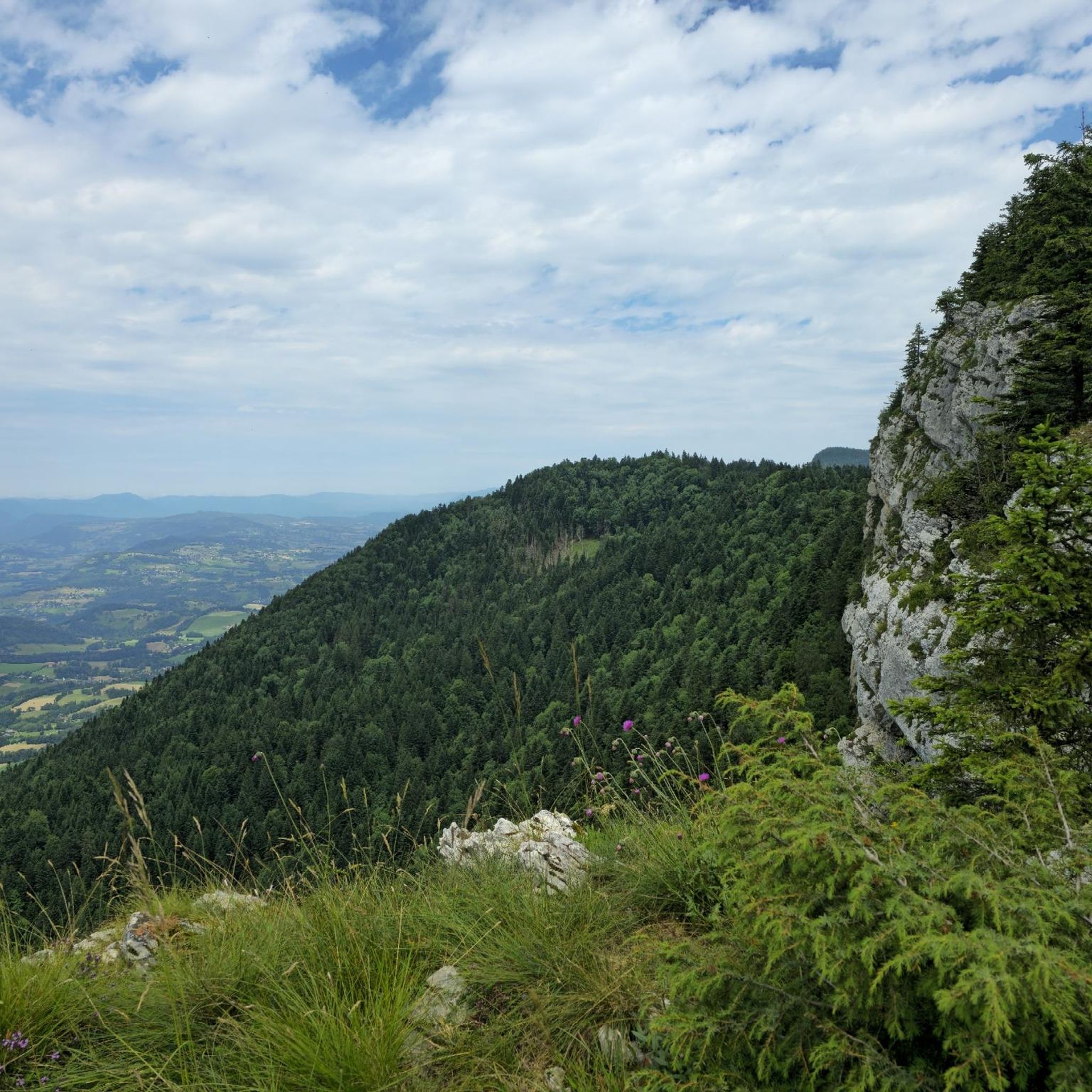
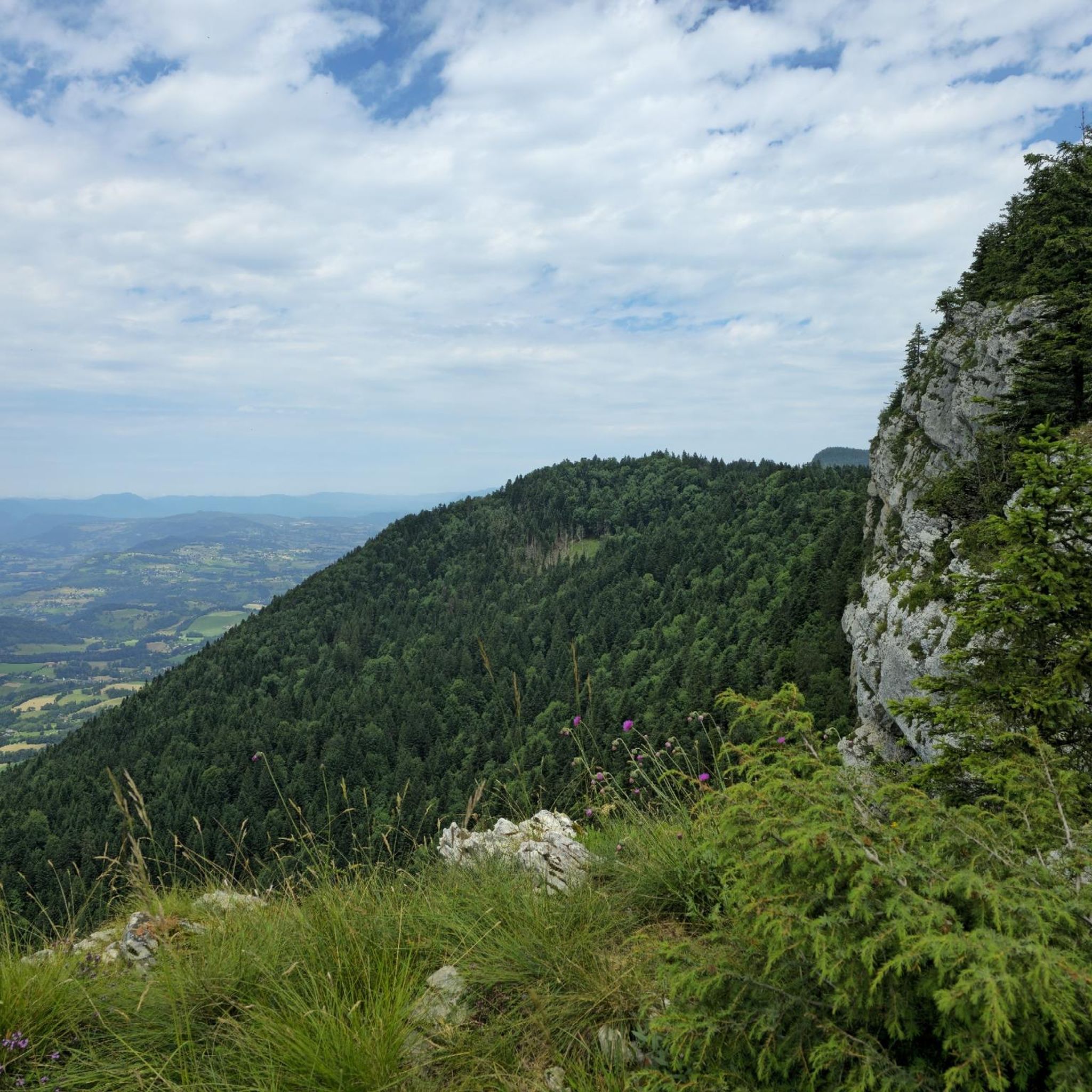
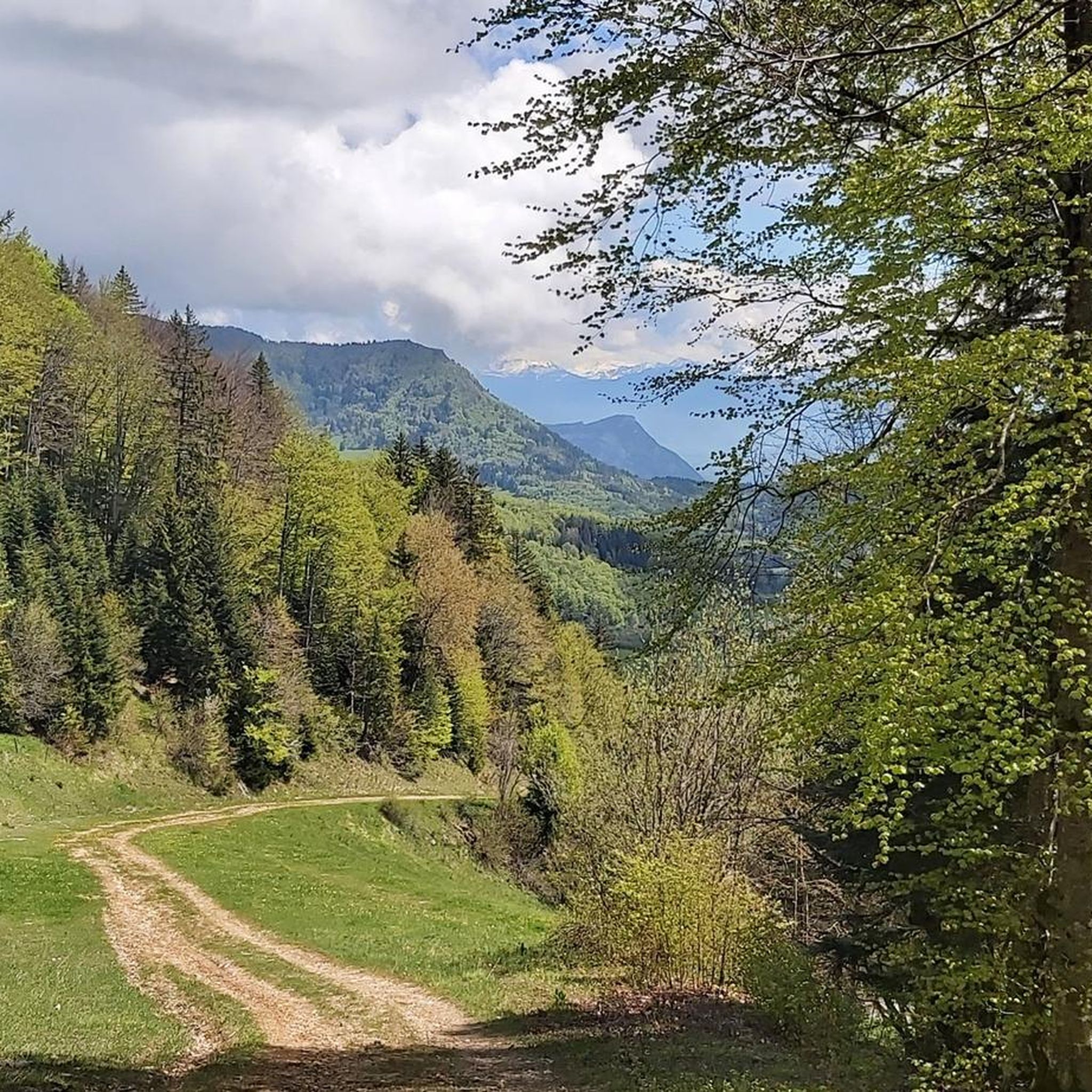
Tips from the Community

Divided village, Savoie and Isère, as well as churches and restaurants.
2
0

I love this village. It's an ideal starting point for a hike to the Cirque de Saint-Même.
0
0

Caution: This section involves a semi-stop and traverse along a cliff face without a handrail. Not recommended for people prone to vertigo or for children.
0
0


Very beautiful view of the 2 lakes 👌
0
0

Done today, lots of snow at the top, the climbing sections are dry and the descent too
0
0

Be careful, if in summer it is a fairly easy passage, in winter, as the surrounding slopes are steep, it is more prudent to have crampons
0
0
1st easy part, no problem with children (better to rope them if small), 2nd part much more gassy. Return path to be avoided on rainy days (slippery mud)
0
0
Frequently Asked Questions
Are there any easy mountaineering routes around Saint-Pierre-De-Genebroz?
The mountaineering routes around Saint-Pierre-De-Genebroz are primarily designed for experienced mountaineers. While there are no routes classified as 'easy' in our selection, you can find two routes of 'moderate' difficulty. These still involve significant elevation changes and rugged terrain characteristic of the Chartreuse Massif.
What makes mountaineering routes around Saint-Pierre-De-Genebroz challenging?
The routes in this region are challenging due to the rugged terrain of the Chartreuse Massif, featuring prominent limestone peaks, deep valleys, and extensive forests. Expect significant elevation gains and descents, rocky outcrops, and paths that require good physical condition and experience in mountain environments. For example, the Belvedere Montgrelle – Electric pole lookout loop from Lépin-le-Lac covers 12.3 miles with over 1200 meters of ascent.
Is parking available at the trailheads for mountaineering routes?
Parking availability can vary depending on the specific trailhead. Many routes start from small villages or designated parking areas within the Chartreuse Regional Natural Park. It's advisable to check the route details on komoot for specific parking information or consider public transport options where available, especially during peak seasons.
Do I need any permits for mountaineering in this area?
Generally, permits are not required for mountaineering on the established routes around Saint-Pierre-De-Genebroz. However, as the area is part of the Chartreuse Regional Natural Park, it's always good practice to respect local regulations, especially concerning protected areas, wildlife, and bivouacking.
Are there family-friendly mountaineering options near Saint-Pierre-De-Genebroz?
Given the challenging nature of the mountaineering routes in Saint-Pierre-De-Genebroz, with most being classified as 'difficult,' they are generally not recommended for young children or families seeking easy walks. These routes are better suited for experienced mountaineers. For family-friendly outdoor activities, you might consider exploring less strenuous hiking trails or other sports in the wider Chartreuse region.
Can I bring my dog on the mountaineering routes?
The Chartreuse Regional Natural Park has specific regulations regarding dogs, especially concerning wildlife protection. While some trails may permit dogs on a leash, it's crucial to verify the rules for each specific route or area you plan to visit. Always ensure your dog is under control and respect any signage regarding protected zones.
What is the best time of year for mountaineering around Saint-Pierre-De-Genebroz?
The best time for mountaineering in the Chartreuse Massif is typically from late spring to early autumn (May to October). During these months, snow has usually melted from higher elevations, and weather conditions are generally more stable. Always check local weather forecasts and trail conditions before heading out, as mountain weather can change rapidly.
Are there any circular mountaineering routes available?
Yes, several mountaineering routes around Saint-Pierre-De-Genebroz are circular, allowing you to start and end at the same point. Examples include the Mount Outheran - 1686 m loop from Le Désert d'Entremont and the Col de Léchaud (1,704 m) – Col de Bonivant (1645m) loop from Cœur de Chartreuse. These loops offer diverse scenery without the need for shuttle arrangements.
What interesting natural landmarks can I see along these routes?
The region is rich in natural beauty. While mountaineering, you might encounter various features of the Chartreuse Massif. Notable highlights in the broader area include the serene Lac d'Aiguebelette and the impressive Grenant Stream. Many routes also offer panoramic views from summits like Mount Outheran or viewpoints like Mont Grêle Viewpoint.
What do other mountaineers enjoy the most about mountaineering in Saint-Pierre-De-Genebroz?
The area is highly rated by the komoot community, with an average score of 4.5 stars. Reviewers often praise the challenging ascents, the expansive views of the Chartreuse landscape from high mountain passes, and the sense of accomplishment gained from traversing the rugged limestone peaks. The diverse terrain, from alpine meadows to dense forests, also contributes to a rewarding experience.
Are there any less crowded mountaineering routes for a more secluded experience?
While the Chartreuse Massif is popular, you can often find quieter routes by exploring trails that are slightly longer or have higher elevation gains, which naturally deter casual visitors. The Ruchère Pass – Petit Som loop from Chartreuse Regional Nature Park, for instance, offers a substantial challenge over 14 km, providing a more immersive and potentially less crowded experience away from the most frequented spots.
Can I find cafes or refreshment stops near the mountaineering trails?
Mountaineering routes in Saint-Pierre-De-Genebroz often start from or pass near small villages where you might find local cafes or auberges. However, many trails venture into remote mountain terrain where services are scarce. It's always recommended to carry sufficient water and snacks, and to check for available facilities in nearby towns like Le Désert d'Entremont or Lépin-le-Lac before or after your tour.
Most popular routes around Saint-Pierre-De-Genebroz
Most popular attractions around Saint-Pierre-De-Genebroz

Get inspired with the komoot mobile app


Explore more
Browse the best Mountain Hikes & Routes in other regions.
