The 19 Most Amazing Peaks around Villar-Saint-Pancrace
Best mountain peaks around Villar-Saint-Pancrace are situated in the Hautes-Alpes department of southeastern France, offering access to various elevated sites. The commune itself ranges in elevation from 1,160 to 2,903 meters, providing a diverse mountainous landscape. This region features challenging trails, historical sites, and expansive views of surrounding massifs. Visitors can explore a blend of natural beauty and historical significance within this area.
Best mountain peaks around Villar-Saint-Pancrace
- The most popular mountain peaks is Col du Granon (2,413 m),…
Last updated: October 2, 2026
Col du Granon (2,413 m)
Highlight • Mountain Pass
Translated by Google •
Tip by

The Fonts of Cervières
Highlight • Summit
Translated by Google •
Tip by

Sign up now to discover places like this
Get recommendations on the best single tracks, peaks, & plenty of other exciting outdoor places.
Lebrun Castle
Highlight • Castle
Translated by Google •
Tip by
The Eagle Rock - il Colletto Verde
Highlight • Viewpoint
Tip by

Plan du Vallon cabin
Highlight • Summit
Translated by Google •
Tip by

Sign up for free to discover even more peaks around Villar-Saint-Pancrace.
Already have an account?
Start today with a free account
Your next adventure awaits.
Popular around Villar-Saint-Pancrace

Seven MTB routes in the Southern Alps – nature, passes and valleys
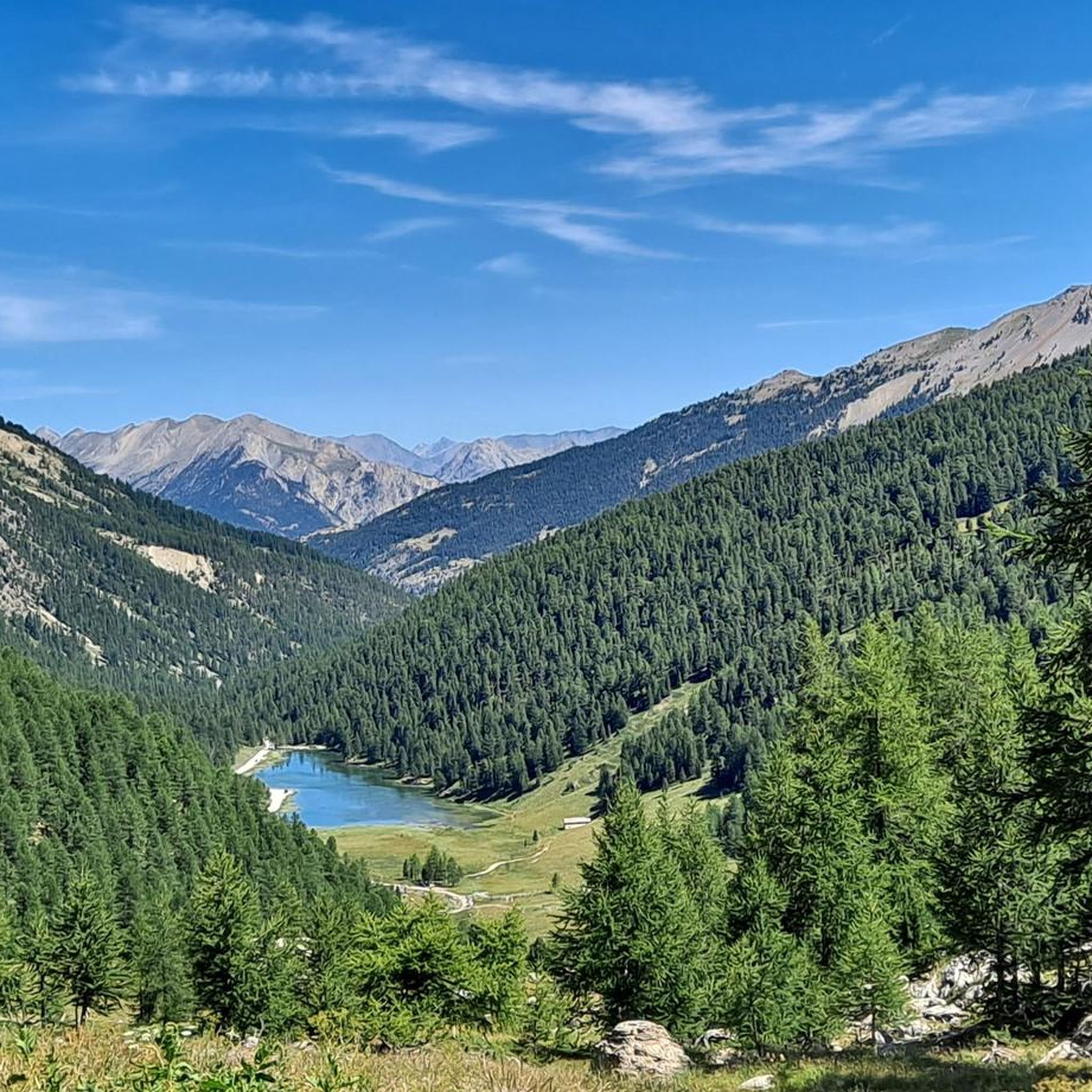
Road Cycling Routes around Villar-Saint-Pancrace
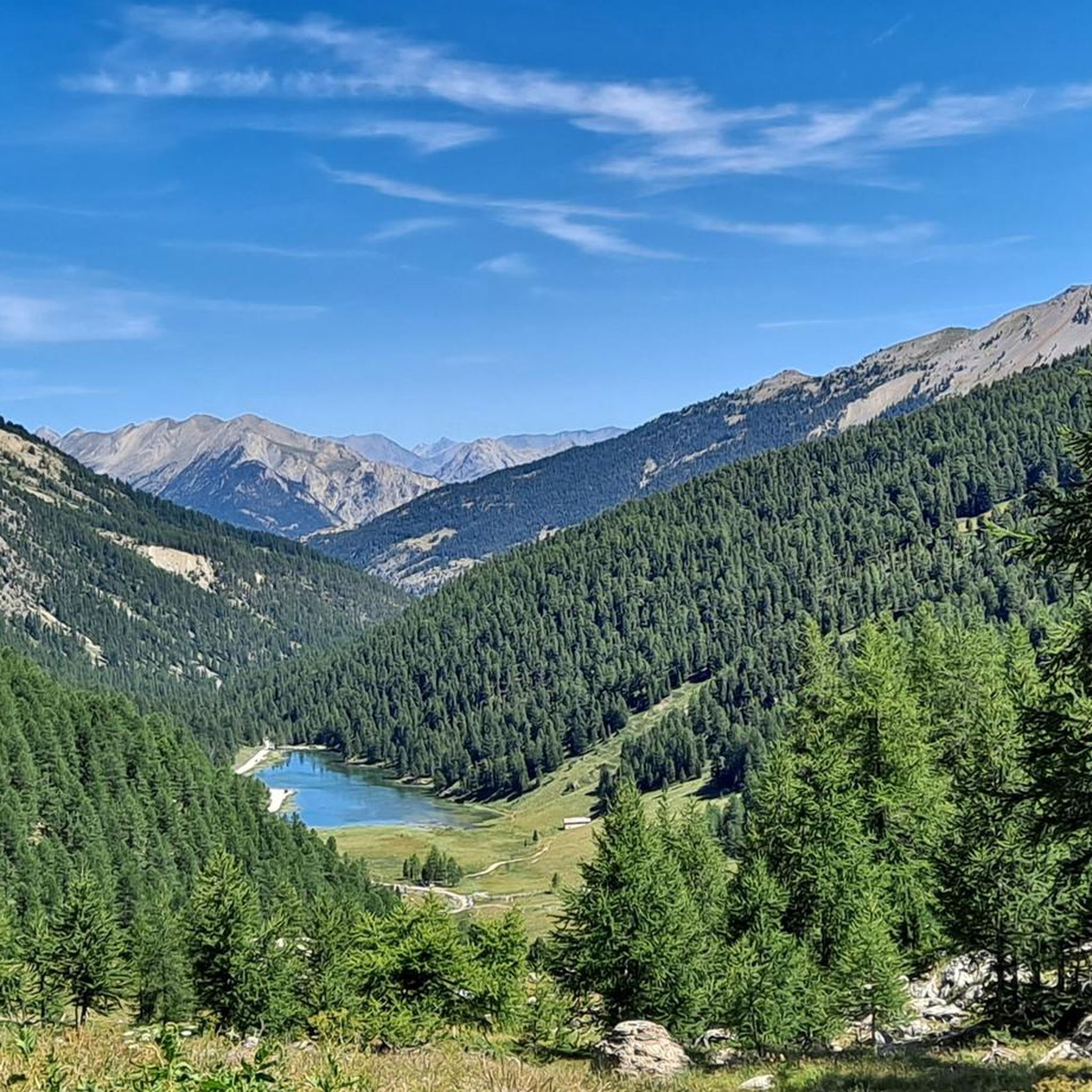
Cycling around Villar-Saint-Pancrace
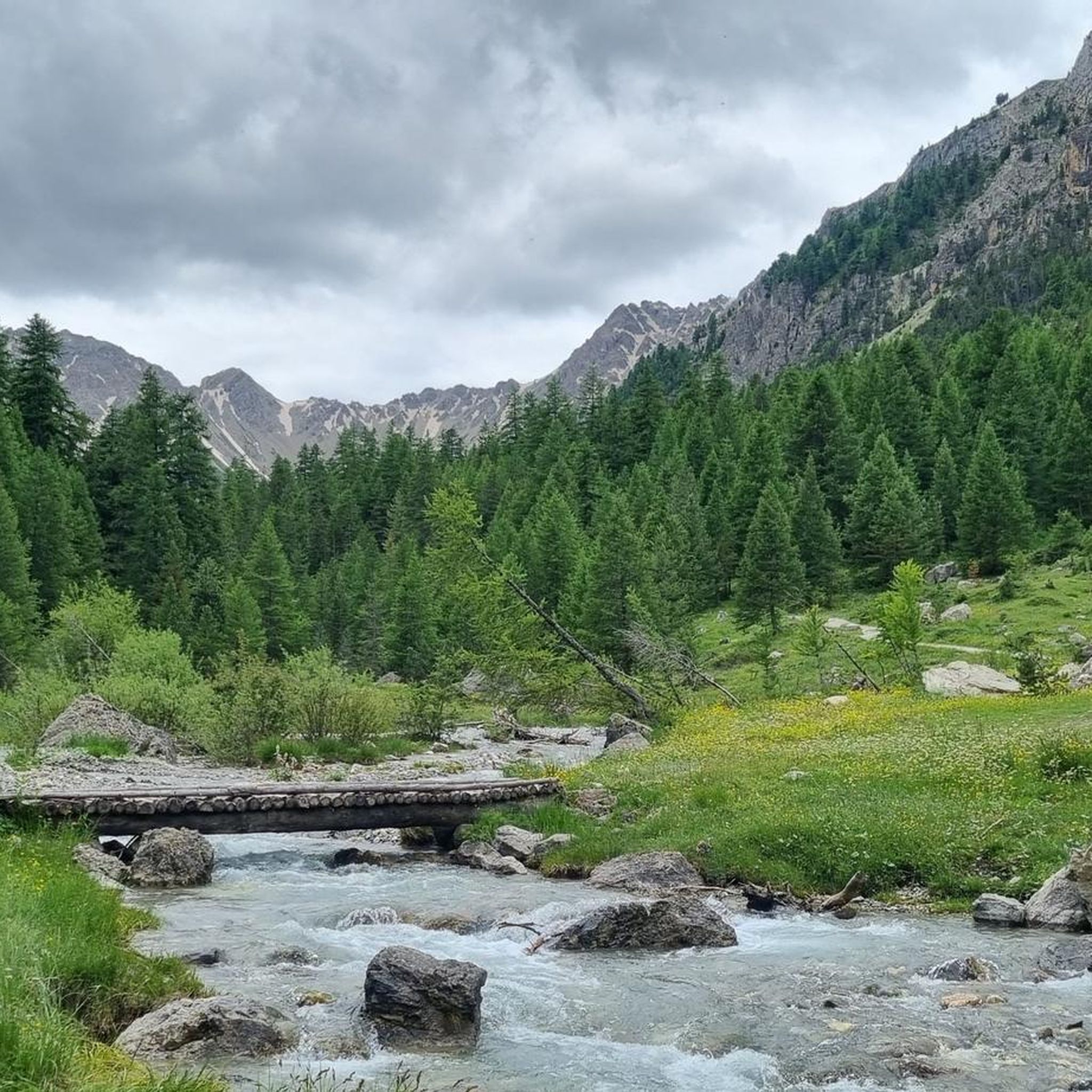
MTB Trails around Villar-Saint-Pancrace
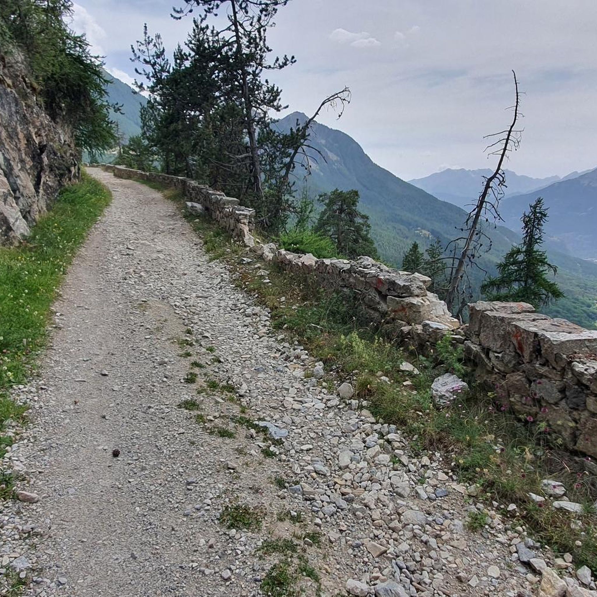
Running Trails around Villar-Saint-Pancrace
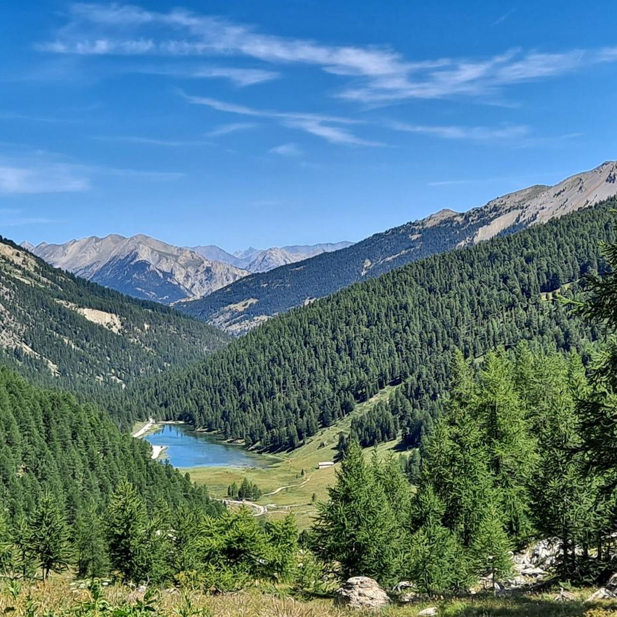
Hiking around Villar-Saint-Pancrace
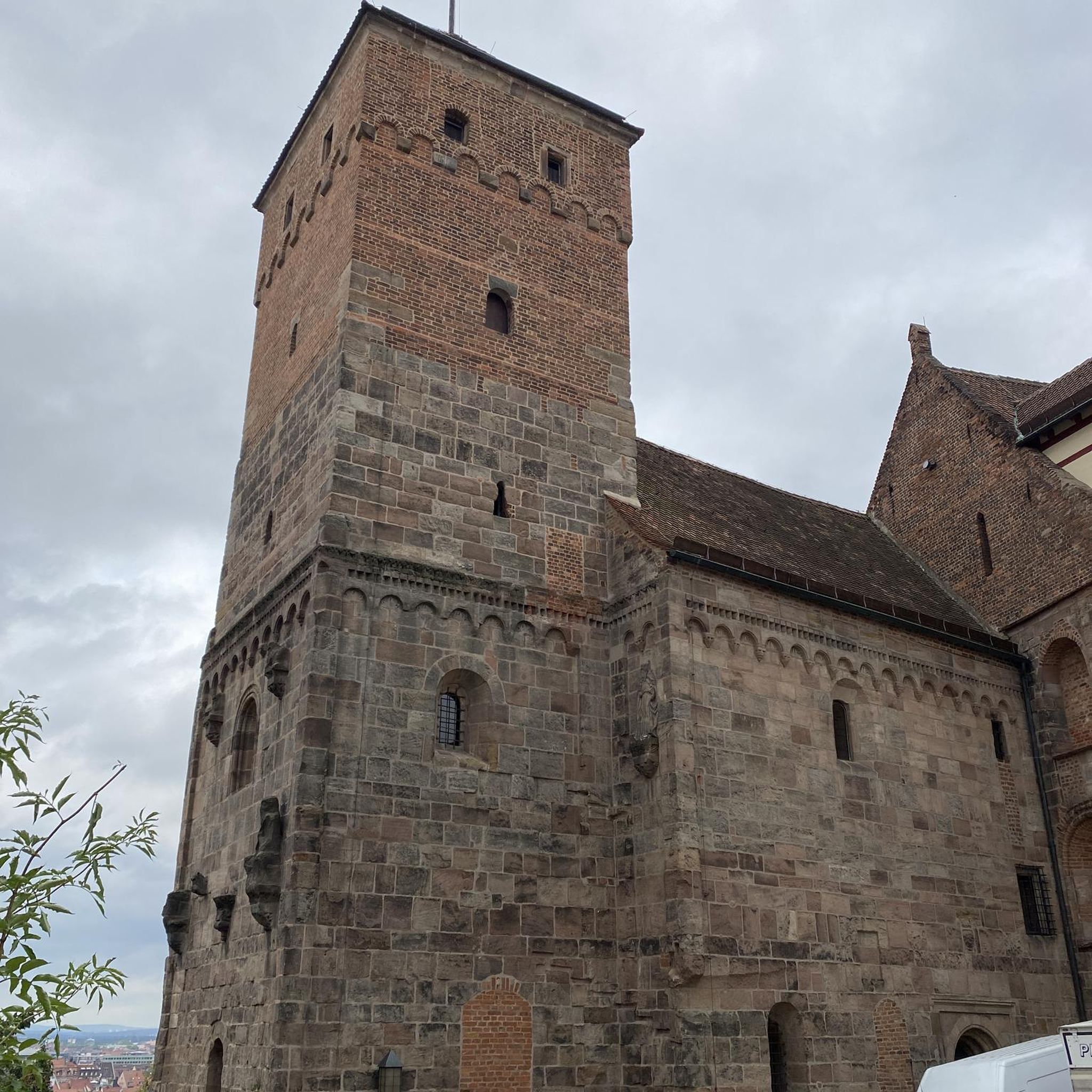
Gravel biking around Villar-Saint-Pancrace

Mountain Hikes around Villar-Saint-Pancrace
Other adventures around Villar-Saint-Pancrace

Tips from the Community

Very tough climb with gradients almost always in double figures.
17
0

A beautiful place, disconnected from the world (we just miss the road and the cars, which thankfully leave at the end of the day). Delicious meal despite basic dormitories and the lack of privacy in the bathrooms. Warm welcome, a great stopover!
0
0

Crossing over "Colletto verde" to descend into Italy on the slopes of Claviere
0
0

The new rapid gondola lift was inaugurated in 2023
0
0

From this year, a wonderful 10-seater cable car with skis that you slide inside the floor! Snowboard in hand 🙄 but inside you don't risk the snow freezing on the board.
0
0

The plateau between Les Têtes and Château Le Brun is a beautiful flowery alpine meadow. At an altitude of around 2,000 meters, you run on a cart track and enjoy the views. Further on, there is a beautiful viewpoint of Les Têtes.
0
0

it is a nice "honest" climb both from the NEVACHE side (dirt road of medium difficulty due to the surface and the slope but practically free of traffic) and from the Serre Chevalier side (all asphalt but heavy traffic depending on whether it is a holiday or not). And then, once at the top of the hill, you can: go down on the opposite side to the uphill side, go down (MTB OCA) on medium-challenging single track but with very dangerous exposed sections, absolutely forbidden to fall or even take, after the cracks and the beer if the bar is open, the road up and back to where you came up from. If you get off on the opposite side you will need to consider recovering the car which will add a certain number of km to the lap. We did NOT go up to the Croix de Toulose (wet rocks and uncertain weather), immediately descending onto asphalt at Bois de l'Ours and then recovering the car after Val de Pres. Cost of the tour not even 40 km, not that much, all things considered.. .
3
0

A climb either by the asphalt on the Guisane side, or on the track by the Clarée. In both cases, it is an unforgettable memory to do the Granon
2
0
Frequently Asked Questions
What are some of the most popular mountain peaks and viewpoints around Villar-Saint-Pancrace?
Among the most popular spots is Col du Granon (2,413 m), a renowned mountain pass offering panoramic views of the Ecrins massif. Visitors also highly appreciate Chenaillet for its exceptional panorama, and Lebrun Castle, which combines historical interest with beautiful alpine meadows and views.
Are there challenging mountain climbs for experienced hikers in the region?
Yes, for experienced hikers seeking a challenge, Pic Lombard (2,960 m / 2,975 m) offers an authentic and wild mountain experience with vast 360-degree views. The hike involves some off-trail sections and is less frequented, providing a rewarding endeavor. Additionally, the climb to Chenaillet is considered challenging due to its airy path and requires good shoes.
Are there any historical elevated sites to visit around Villar-Saint-Pancrace?
Absolutely. The Fort des Trois Têtes, part of Briançon's defensive belt and a UNESCO World Heritage site, is a significant elevated historical location. You can explore its 18th-century fortifications and enjoy commanding views over the five valleys of Briançon. Lebrun Castle also offers a blend of historical interest and scenic beauty.
What unique natural features can I discover among the peaks?
The area of Colletto Verde / The Eagle Rock, on the border with Italy, is notable for its unique geological environment, including 'pillow lava' formations, which are traces of an ancient pre-Alpine oceanic ridge. This area offers distinct scenic beauty and views of Monte Chaberton and the Massif des Écrins.
What outdoor activities can I do near these mountain peaks, besides hiking?
The region around Villar-Saint-Pancrace is excellent for various outdoor activities. Cycling is very popular, especially on challenging routes like the Col du Granon. Gravel biking is also an option, with routes such as the Vallée de Clarée. You can also find numerous running trails, including moderate loops around Villar-Saint-Pancrace itself.
What is the best time to visit the mountain peaks around Villar-Saint-Pancrace?
The best time to visit largely depends on your desired activity. For hiking and cycling, late spring to early autumn (June to September) generally offers the most favorable weather conditions, with accessible passes and blooming alpine meadows. Some passes, like Col du Granon, are renowned for cycling in warmer months. For freeride skiing, winter months are ideal, particularly in areas like Colletto Verde.
Are there any family-friendly mountain walks or areas suitable for all ages?
While many peaks offer challenging terrain, areas like the plateau between Les Têtes and Lebrun Castle provide beautiful flowery alpine meadows at around 2,000 meters, which can be enjoyed as a scenic walk. The commune of Villar-Saint-Pancrace itself ranges from 1,160 to 2,903 meters, offering diverse landscapes where easier sections might be found, though specific family-friendly mountain walks are not explicitly highlighted for the peaks themselves.
Can I find refreshments or accommodation near the mountain peaks?
Yes, at the summit of Col du Granon, there is a small restaurant called Buvette du Granon with a sun terrace, providing a welcome stop for refreshments. The nearby hamlet of The Fonts of Cervières also features typical old alpine chalets and fountains, which can be useful before continuing a hike, though it's more of a scenic stop than a place for extensive accommodation or cafes directly on the peaks.
What do visitors enjoy most about the mountain peaks around Villar-Saint-Pancrace?
Visitors particularly enjoy the breathtaking panoramic views, especially from spots like Col du Granon and Chenaillet. The challenging yet rewarding climbs, the wild and authentic mountain experiences, and the blend of natural beauty with historical sites like Lebrun Castle are highly appreciated. The komoot community has shared 118 photos and given 246 upvotes, highlighting the region's appeal.
Are there any specific tips for hiking to <a href="https://www.komoot.com/highlight/2462802" target="_blank" rel="noopener">Chenaillet</a>?
When hiking to Chenaillet, be prepared for an airy path that, while not dangerous, should not be underestimated, especially if you experience vertigo. It's crucial to bring a good supply of water as there is none on the route. To fully enjoy the spectacular panorama at the top, choose a day without strong winds. Good shoes are also recommended for some slightly slippery gravel sections.
What is the elevation range of the Villar-Saint-Pancrace commune?
The commune of Villar-Saint-Pancrace itself ranges significantly in elevation, from 1,160 meters (3,806 feet) at its lowest point to 2,903 meters (9,524 feet) at its highest, providing a diverse and dramatic mountainous landscape for exploration.
Most popular routes around Villar-Saint-Pancrace
Most popular attractions around Villar-Saint-Pancrace

Get inspired with the komoot mobile app


Explore more
See even more amazing summits around Villar-Saint-Pancrace with these guides:
