The best walks and hikes around Saint-Chaffrey
4.4
(545)
5,146
hikers
84
hikes
Hiking around Saint-Chaffrey offers diverse landscapes within the Southern French Alps, characterized by impressive mountain passes and peaks like Col du Granon. The region features beautiful lakes such as Lac de l'Oule and Pont Baldy Lake, alongside the Guisane valley with its river and extensive larch forests. Terrain varies from pastoral areas to high alpine views, providing a range of experiences for hikers.
Best hiking trails around Saint-Chaffrey
- The most popular hiking route is Col du Granon summit – Col…
Last updated: September 28, 2026
4.7
(84)
758
hikers
6.84km
02:28
260m
260m
Moderate hike. Good fitness required. Mostly accessible paths. Sure-footedness required.
4.6
(36)
249
hikers
13.8km
04:59
550m
550m
Moderate hike. Good fitness required. Mostly accessible paths. Sure-footedness required.

4.8
(13)
234
hikers
10.1km
03:56
390m
390m
Hard hike. Good fitness required. Sure-footedness, sturdy shoes and alpine experience required.
4.6
(17)
123
hikers
11.2km
03:44
370m
370m
Moderate hike. Good fitness required. Mostly accessible paths. Sure-footedness required.
4.5
(4)
84
hikers
8.29km
02:44
390m
390m
Moderate hike. Good fitness required. Mostly accessible paths. Sure-footedness required.
Get access to more routes and recommendations from other explorers.
Already have an account?
Our route recommendations are based on thousands of hikes, rides, and runs completed by other people on komoot.
Start today with a free account
Your next adventure awaits.
Popular around Saint-Chaffrey
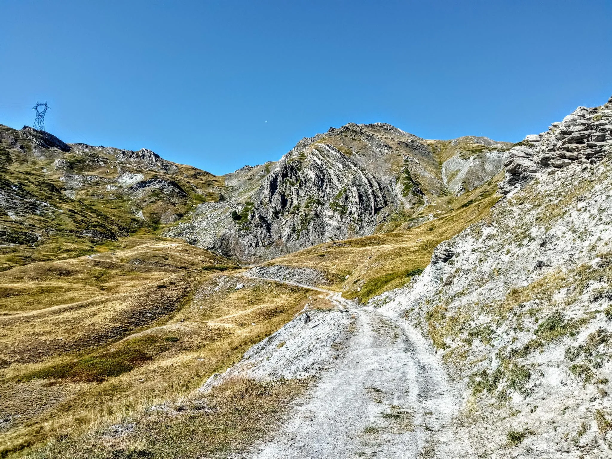
Between valleys and peaks – Ultra Gravel Tour des Alpes
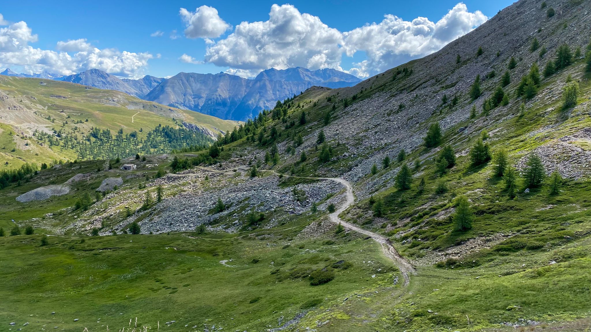
Sublime Alpine gravel rides in the Serre Chevalier Valley
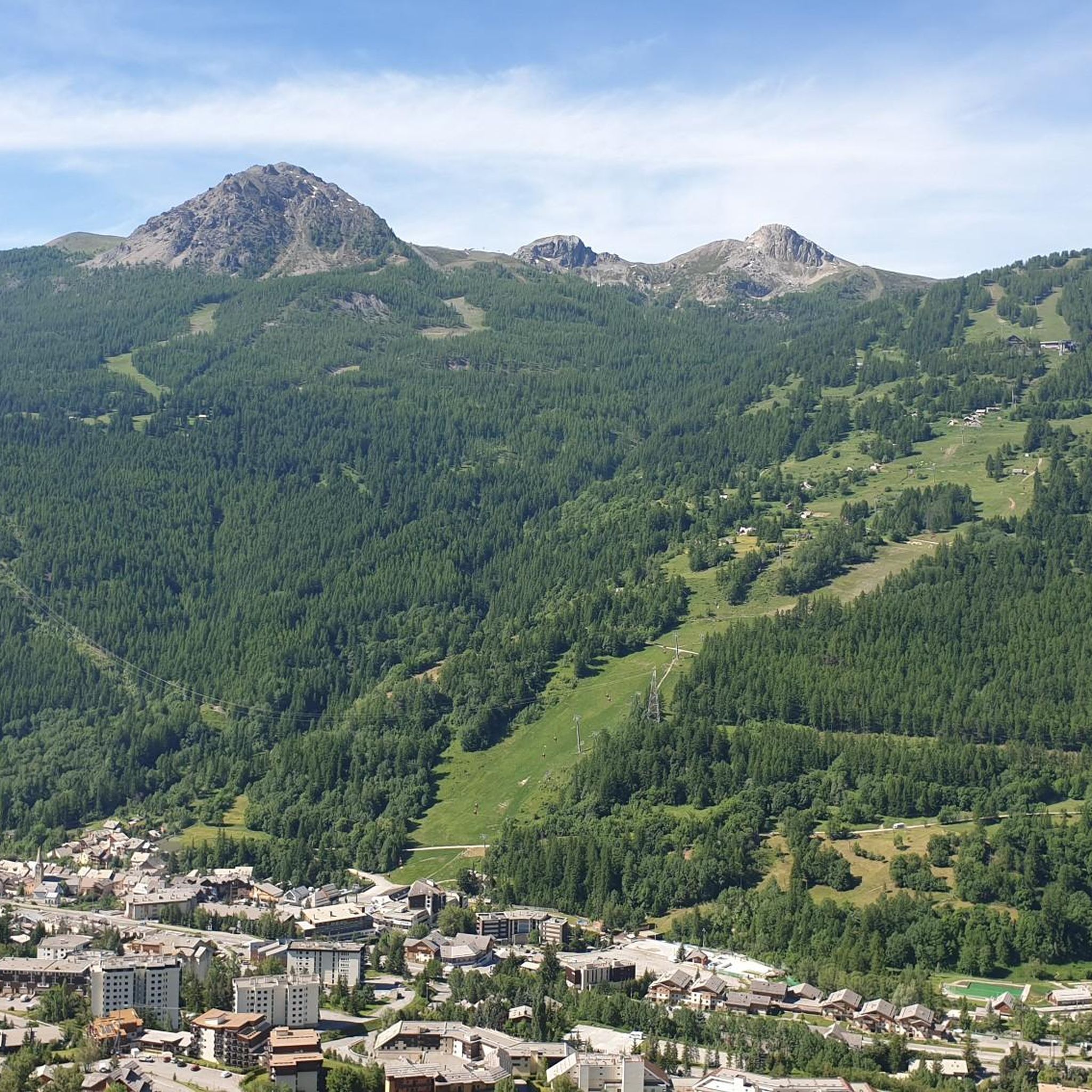
Road Cycling Routes around Saint-Chaffrey
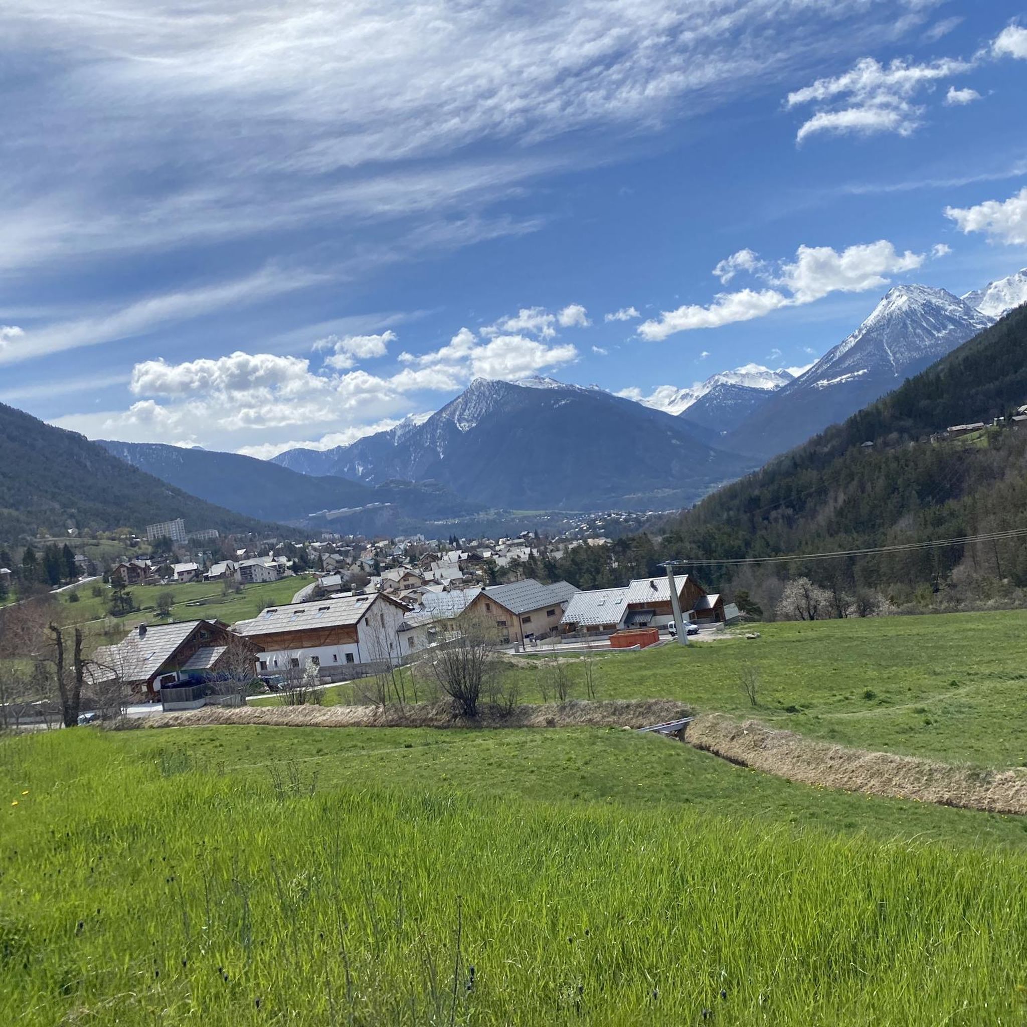
MTB Trails around Saint-Chaffrey

Gravel biking around Saint-Chaffrey
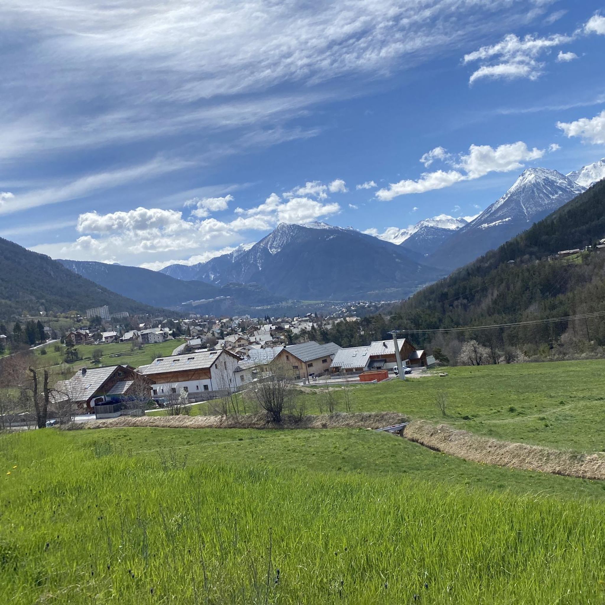
Cycling around Saint-Chaffrey
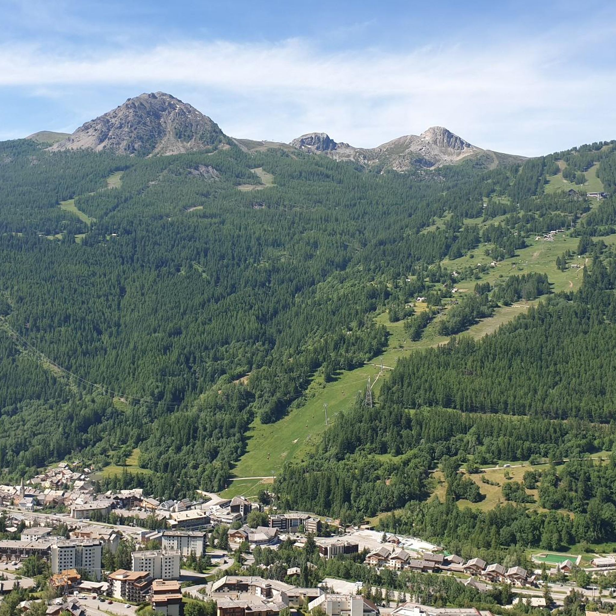
Running Trails around Saint-Chaffrey
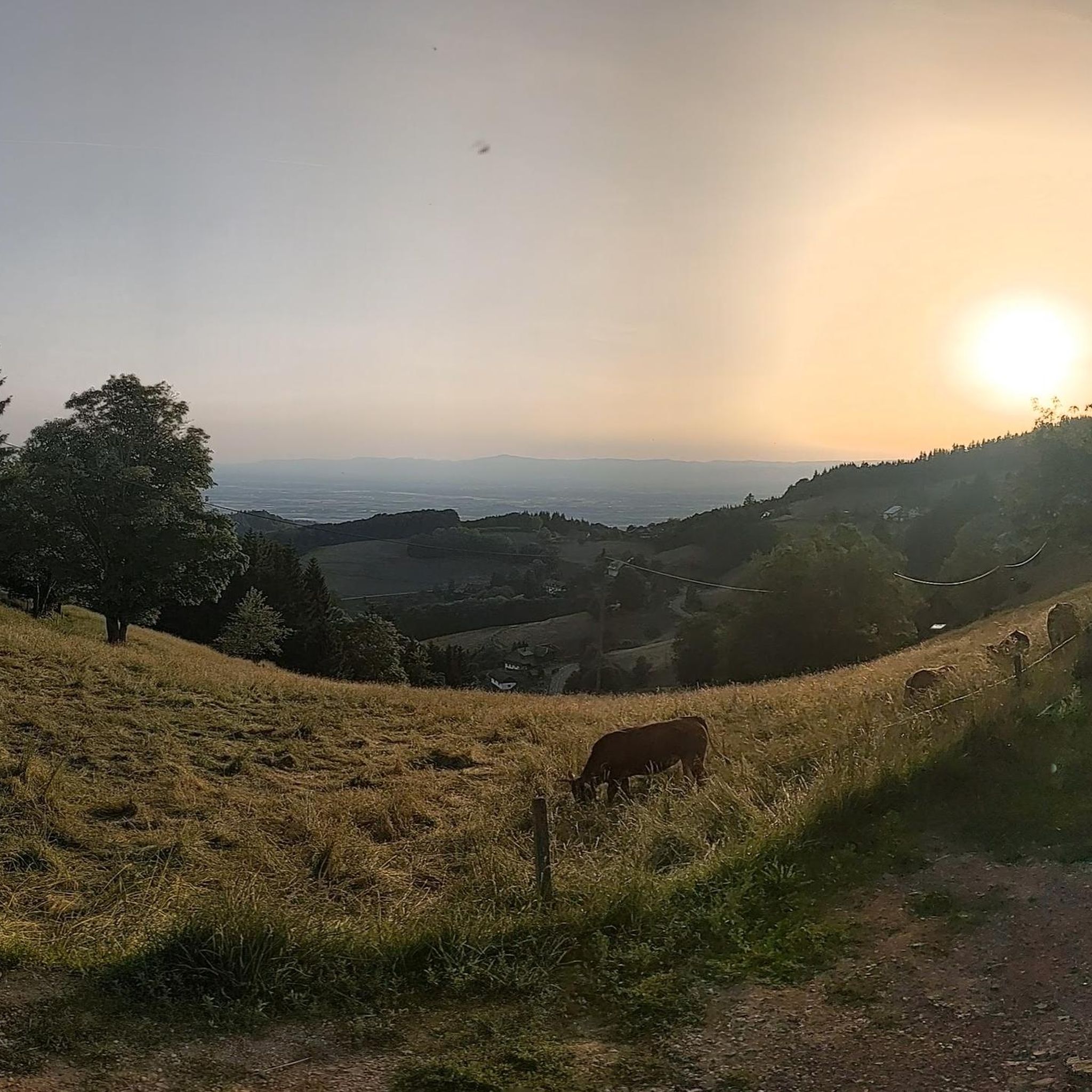
Mountain Hikes around Saint-Chaffrey


Tips from the Community

Three-quarters of an hour is enough to reach this col from Col Granon, using the beautiful military road with very little gradient and lots of scenery. From the col, with the MTB, there are two alternatives: the first, continue halfway up towards Col de l'Oule (90% rideable), the second, very fun, consists of riding the beautiful single-track, very easy, which arrives at Col Granon always staying parallel to the ridge line. Only recommendation, watch out for the numerous hikers!
0
0
A walk of less than an hour leads from Col Granon to this wide saddle, which offers beautiful views of the Bardonecchia basin and the Nevache valley. The ascent can also be done by MTB, although with the route I took, you can better utilize both the very gradual ascent and the beautiful traverse between the Col de Cibieres and the Col de l'Oule. Except for very short sections of exposed rock, this traverse is accessible to anyone, and the descent towards the Col Granon is very fun. It is also worth, after descending almost to the road, leaving the normal descent path and taking the scenic single track visible on the right, practically flat, which arrives a short distance from the Col Granon refuge.
0
0

Getting to the top is quite a challenge.
20
1
Military station at the top of the Col du Granon.
18
0
Challenging climb, the gradients are almost always in double figures.
18
1
A tough climb in 11 km, you gain approximately 1100 m of elevation gain.
18
0
Very tough climb with gradients almost always in double figures.
17
0

Legendary Tour de France climb, Amazing Road winding up to the top, very little traffic going up and amazing views. One of the most beautiful climbs in the region imho
6
0
Frequently Asked Questions
How many hiking trails are available around Saint-Chaffrey?
There are nearly 80 hiking trails around Saint-Chaffrey, offering a wide range of experiences. You'll find options for all skill levels, from easy walks to challenging alpine routes.
What kind of terrain can I expect on hikes in Saint-Chaffrey?
The terrain around Saint-Chaffrey is incredibly diverse. You can expect everything from pastoral limestone areas and extensive larch forests to high alpine peaks and mountain passes like Col du Granon. Many trails also follow the Guisane valley and its canals.
Are there any easy, family-friendly hikes in the area?
Yes, Saint-Chaffrey offers over 20 easy trails suitable for families. Look for paths along the Torrent de la Guisane or explore hamlets like Chantemerle. The region research mentions specific family-friendly walks like "Le Sentier du Lutin" and "Le Chemin des Clos" which are generally less strenuous.
Can I bring my dog on the hiking trails around Saint-Chaffrey?
While many trails in the French Alps are dog-friendly, it's always best to check specific regulations for each route, especially within protected areas or nature reserves. Generally, dogs are welcome on leash on most public paths, but be mindful of livestock and local wildlife.
What are some notable natural attractions or landmarks I can see while hiking?
Hikers can discover several beautiful lakes, such as Lac de l'Oule, which is highly accessible from the Col du Granon, and Pont Baldy Lake, known for its scenic circuit. You can also find impressive mountain passes like Col du Granon, and historical sites like the Mont Chaberton Fort.
Are there any circular hiking routes available?
Yes, many routes around Saint-Chaffrey are circular. For example, the Col du Granon summit loop offers stunning views, or the Lake Cristol loop provides a beautiful journey to an alpine lake.
What is the best time of year to go hiking in Saint-Chaffrey?
The best time for hiking in Saint-Chaffrey is typically from late spring to early autumn (May to October). During these months, the weather is generally favorable, and most trails are free of snow. Summer offers lush landscapes, while autumn brings spectacular larch forest colors. Some lower-altitude trails may be accessible in winter for snowshoeing.
Are there challenging hikes for experienced hikers?
Absolutely. Saint-Chaffrey offers 15 difficult routes for experienced hikers. An example is the Col du Granon (2,413 m) – Col du Granon summit loop, which leads through alpine terrain and requires good fitness and sure-footedness.
What do other hikers say about the trails in Saint-Chaffrey?
The trails in Saint-Chaffrey are highly regarded by the komoot community, with an average rating of 4.4 out of 5 stars from over 400 reviews. Hikers often praise the breathtaking alpine scenery, the diversity of landscapes, and the well-maintained network of trails.
Is public transport available to reach trailheads in Saint-Chaffrey?
Saint-Chaffrey is part of the larger Serre Chevalier Vallée Briançon area, which has public transport options. While specific routes to every trailhead may vary, local bus services often connect villages and key points, making some trailheads accessible without a car. It's advisable to check local bus schedules for the Serre Chevalier Valley.
Are there any hikes that offer panoramic viewpoints?
Many trails in Saint-Chaffrey provide stunning panoramic views, especially those ascending to mountain passes or summits. The Panorama – View of the Route du Granon loop is specifically designed for scenic vistas, and the Col du Granon itself offers expansive views of the Écrins massif and Cerces mountains.
Where can I find parking for hiking trails in Saint-Chaffrey?
Parking is generally available at key access points and villages around Saint-Chaffrey, especially near popular trailheads. For example, many routes start from Col de Granon, where parking facilities are typically provided. It's recommended to check specific starting points for parking availability when planning your hike.
Most popular routes around Saint-Chaffrey
Most popular attractions around Saint-Chaffrey

Get inspired with the komoot mobile app


Explore more
Browse the best Hikes in other regions.
