The best running trails around Arith
4.4
(183)
12,237
runners
337
runs
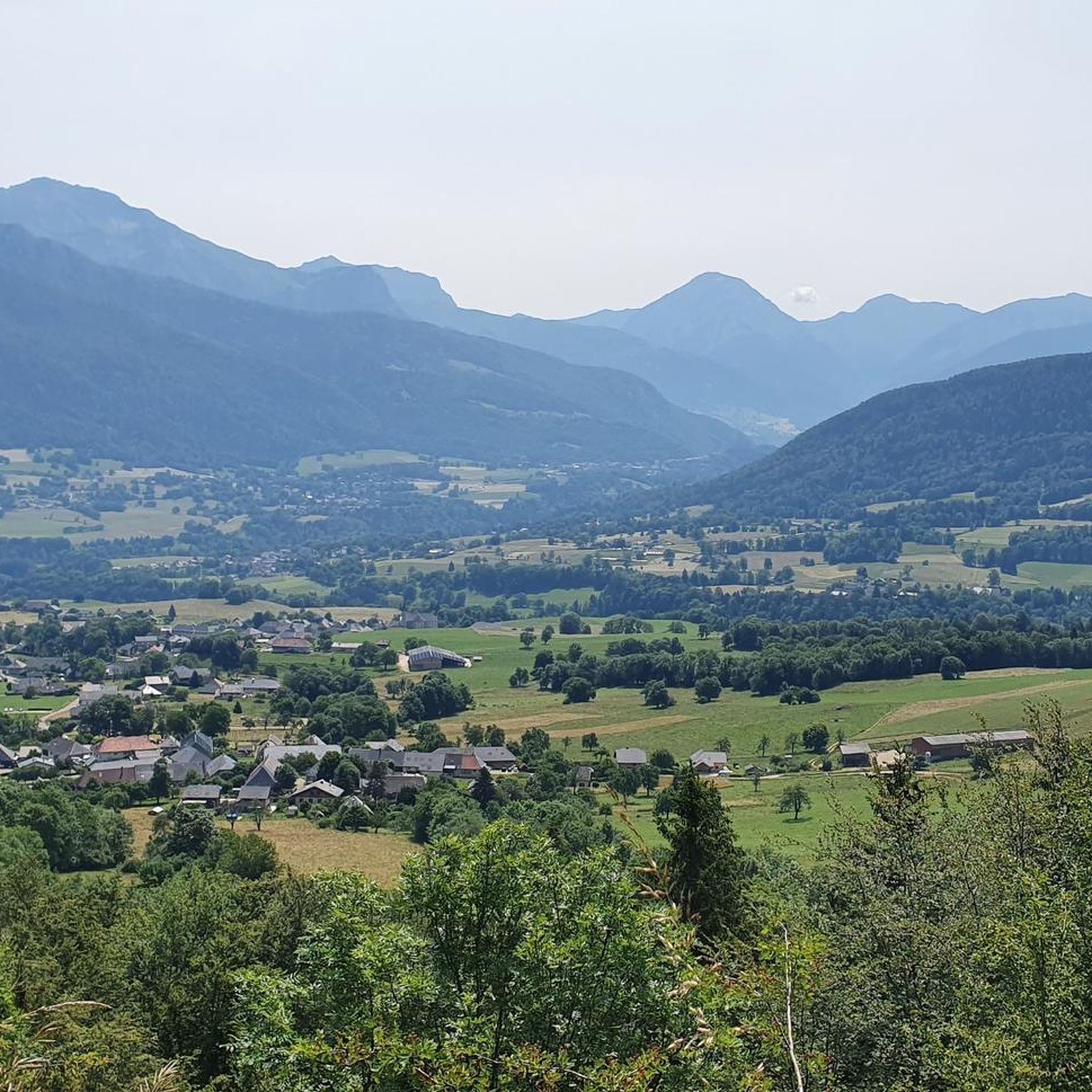
Jogging around Arith offers a diverse landscape characterized by its lakes, waterfalls, and surrounding hills. The region features varied terrain, from paths alongside water bodies to routes ascending into higher elevations. Many running routes traverse forested areas and open landscapes, providing different experiences for runners. The elevation changes across the area range from gentle slopes to more challenging climbs.
Best jogging routes around Arith
- The most popular jogging route is Pissieu Waterfall – Lescheraines Lake loop from Lescheraines, a 7.0 miles (11.3 km) trail that takes 1 hour 22 minutes to complete. This moderate route features both a waterfall and a lake.
- Another top favourite among local runners is Lescheraines Lake loop from Lescheraines, a moderate 5.4 miles (8.7 km) path. This route offers scenic views around the lake with relatively gentle elevation changes.
- Local runners also love the Chemin de la Figlia – La Figlia Refuge loop from Allèves, a 5.1 miles (8.2 km) trail leading through varied terrain with significant elevation gain, often completed in about 1 hour 19 minutes.
- Jogging around Arith is defined by its lakes, waterfalls, and hills, often passing through forested sections. The network offers options for different ability levels, from easy paths to more difficult routes with considerable climbs.
- The routes in Arith are highly rated by the komoot community with an average score of 4.5 stars from over 140 reviews. More than 12,000 runners have used komoot to explore Arith's varied terrain.
Last updated: July 31, 2026
4.5
(4)
129
runners
11.3km
01:22
250m
250m
Moderate run. Good fitness required. Mostly paved surfaces. Suitable for all skill levels.
3.7
(3)
144
runners
9.88km
01:10
170m
170m
Moderate run. Good fitness required. Mostly paved surfaces. Suitable for all skill levels.

Sign up for free
3.7
(3)
81
runners
8.77km
01:02
170m
170m
Moderate run. Good fitness required. Mostly paved surfaces. Suitable for all skill levels.
35
runners
8.18km
01:25
620m
610m
Hard run. Very good fitness required. Mostly paved surfaces. Suitable for all skill levels.
5.0
(1)
20
runners
13.1km
02:09
700m
700m
Hard run. Very good fitness required. Sure-footedness, sturdy shoes and alpine experience required.
Get access to more routes and recommendations from other explorers.
Sign up for free
Already have an account?
Our route recommendations are based on thousands of hikes, rides, and runs completed by other people on komoot.
Start today with a free account
Your next adventure awaits.
Login or Signup
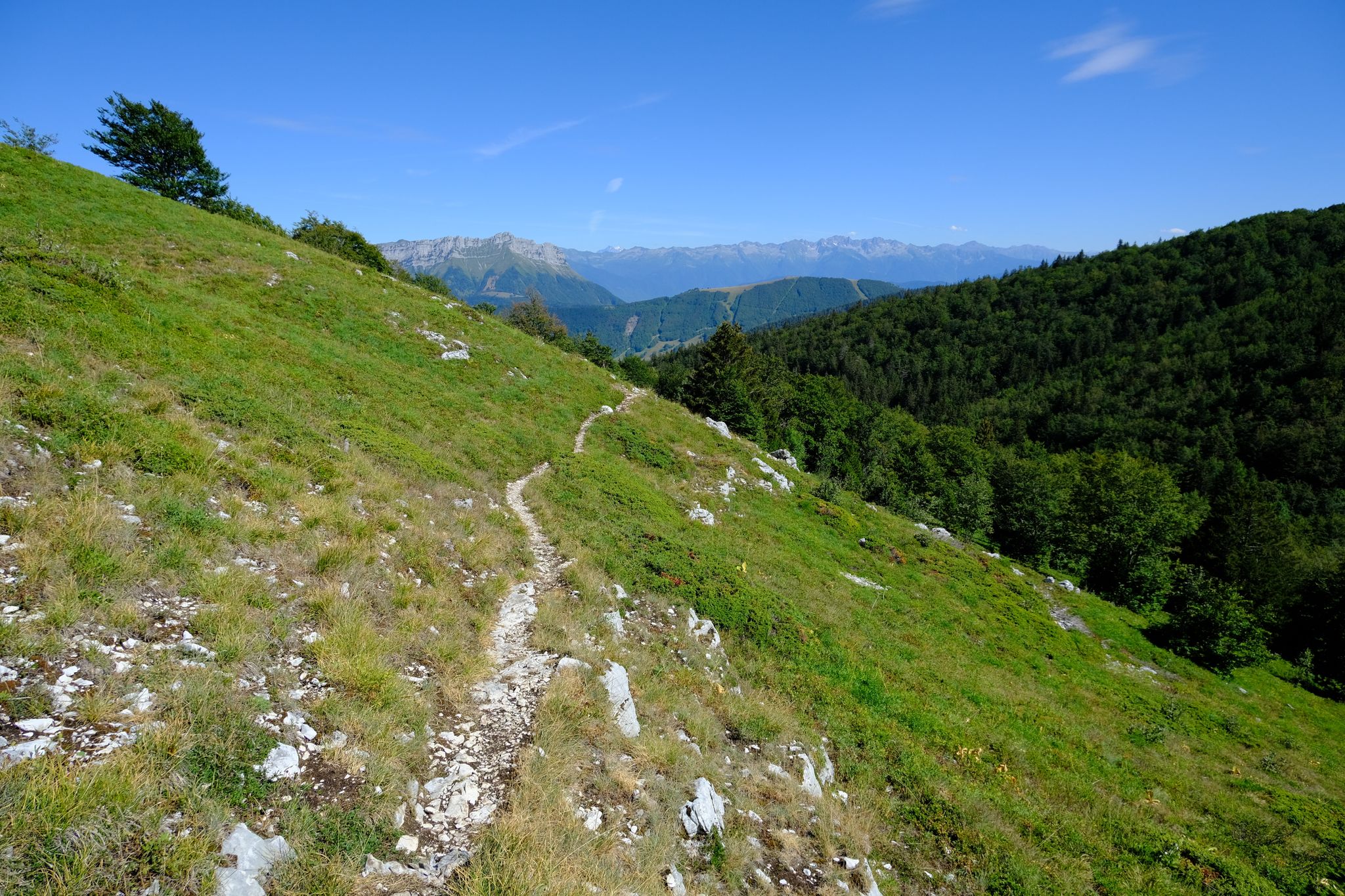
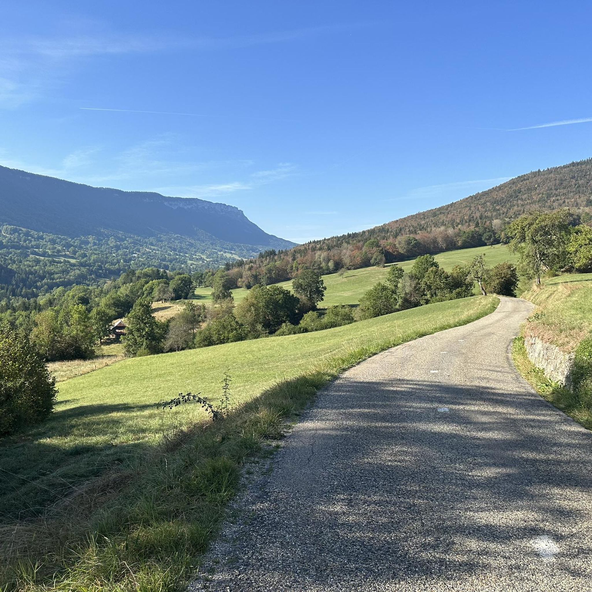
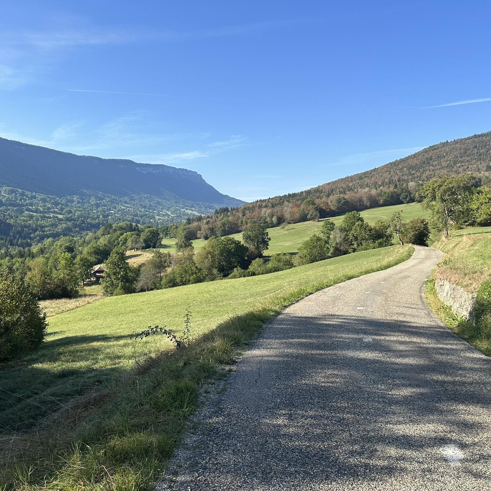
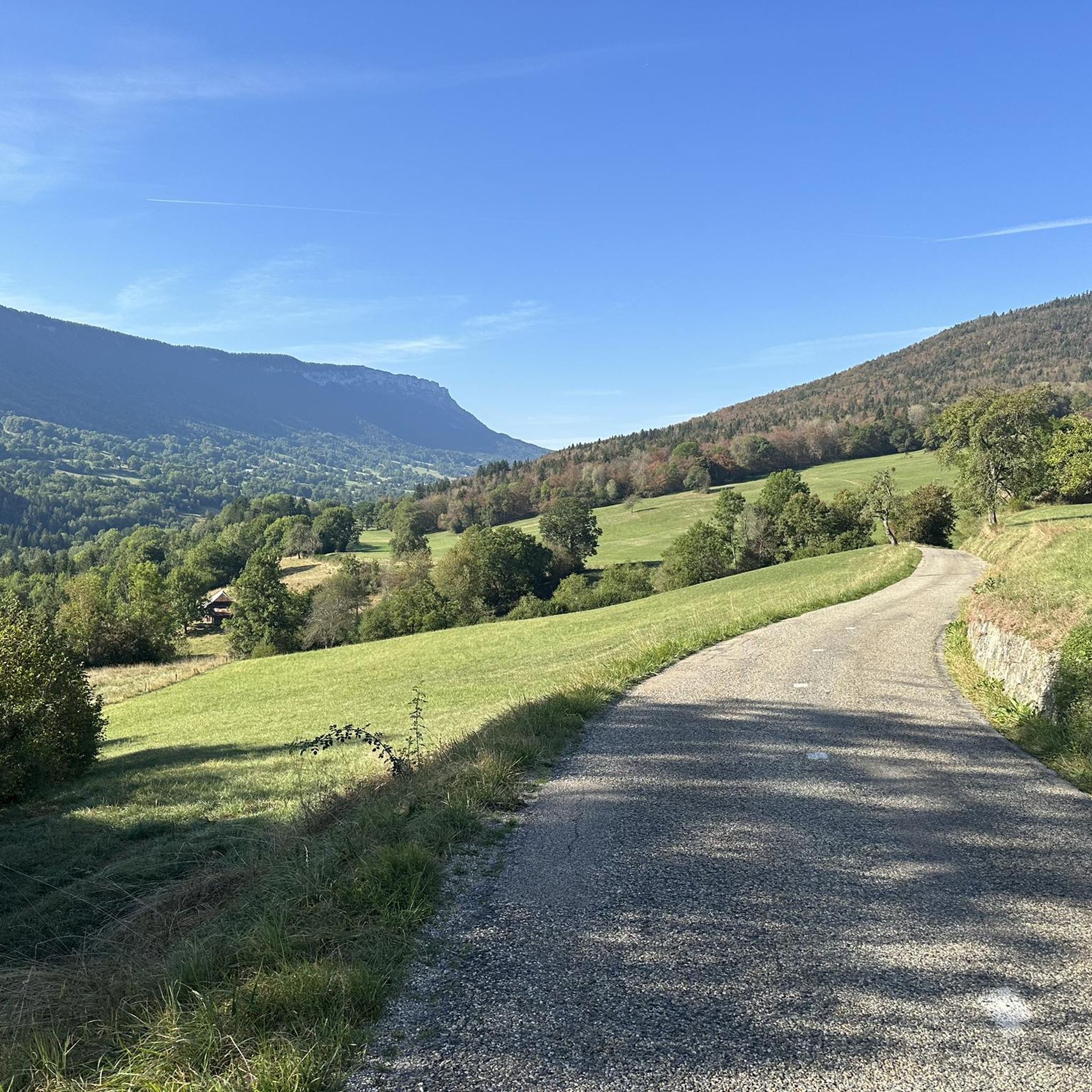

Other adventures around Arith

Tips from the Community

Pity, it would be sensible.
2
0
Next to the campsite is a swimming lake
2
0

Ancient Roman road in the direction of Semnoz
0
0


Small spring located above the refuge, space to make a campfire
0
0

The Figlia path is made up of limestone slabs. Built in the 19th century by Italian workers and residents of Allèves, this path facilitated access to the Semnoz mountain pastures.
1
0
The La Figlia chalets have a small refuge which is available to hikers. This place is also suitable for bivouac. Do not count on the water source located a few meters away, it is often dry.
0
0
The Lescheraines lake is an ideal place to take a break and take a dip. Swimming is supervised and the place offers very complete picnic facilities.
2
1
Frequently Asked Questions
How many running routes are available around Arith?
There are over 300 running routes around Arith, offering a wide range of options for different skill levels and preferences. You'll find everything from gentle paths to challenging climbs.
Are there easy running trails suitable for beginners in Arith?
Yes, Arith offers around 20 easy running routes perfect for beginners or those looking for a relaxed jog. These trails typically feature less elevation gain and smoother terrain, often found alongside lakes or through flatter forested areas.
What kind of scenery can I expect on the jogging routes in Arith?
Jogging routes in Arith are known for their diverse scenery, including picturesque lakes, impressive waterfalls, and rolling hills. Many paths wind through dense forests and open landscapes, providing varied views. You might also encounter natural monuments like the Fairies' Cave or enjoy panoramic vistas from various summits.
Are there any circular running routes in Arith?
Yes, many of the running routes around Arith are circular, allowing you to start and finish at the same point. A popular example is the Pissieu Waterfall – Lescheraines Lake loop from Lescheraines, which combines scenic natural features.
Can I find long-distance running trails in the Arith region?
Absolutely. For those seeking longer runs, Arith offers several routes exceeding 10 kilometers. For instance, the challenging Crêt de Châtillon Summit – Semnoz Refuge loop from Allèves stretches over 18 kilometers with significant elevation changes.
What do other runners enjoy most about jogging in Arith?
The komoot community highly rates the running trails in Arith, with an average score of 4.5 stars from over 140 reviews. Runners often praise the region's diverse terrain, from tranquil lake loops to challenging mountain ascents, and the stunning natural beauty, including waterfalls and panoramic viewpoints.
Are there any running routes that pass by waterfalls or lakes?
Yes, the region is characterized by its water features. The Pissieu Waterfall – Lescheraines Lake loop from Lescheraines is a prime example, offering both a waterfall and a lake along its path. Another option is the Lescheraines Lake loop from Lescheraines, which provides scenic views around the lake.
Are the running trails in Arith suitable for families?
Many of the easier and moderate routes around Arith are suitable for families, especially those with older children. Look for trails with less elevation gain and well-maintained paths. The lake loops, for example, often provide a pleasant experience for all ages.
Are there any challenging running routes for experienced runners?
Experienced runners will find plenty of challenges in Arith. Routes like the Chemin de la Figlia – La Figlia Refuge loop from Allèves and La Culaz – Fenêtre des Pendants loop from Arith feature significant elevation gains and varied terrain, testing endurance and skill.
What are some notable landmarks or viewpoints accessible from running trails?
Several running trails offer access to stunning viewpoints and landmarks. You can reach the Crêt de Châtillon Summit or the Col du Semnoz summit on more challenging routes, providing expansive views of the surrounding landscape. The region also features unique natural formations like the Trail of sinkholes and ice caves.
Is Arith a good destination for winter running?
While many trails are accessible year-round, winter running in Arith can be challenging due to snow and ice, especially at higher elevations. Lower-lying routes and those around lakes might be more suitable, but always check local conditions and wear appropriate gear for safety.
Are there running routes with parking available at the trailhead?
Most popular trailheads in the Arith region, especially those near villages like Lescheraines or Allèves, offer designated parking areas. It's always advisable to check the specific route details on komoot for information on starting points and parking facilities.
Most popular attractions around Arith

Get inspired with the komoot mobile app


Explore more
Browse the best Running Trails & Routes in other regions.
