The best road cycling routes around Dingsheim
4.4
(1840)
32,023
riders
536
rides
Road cycling around Dingsheim features a network of routes traversing the flat Rhine plain, often incorporating canal paths and dedicated cycleways like the Piste des Forts. The terrain is generally low-lying, with gentle undulations and occasional minor climbs, suitable for various fitness levels. The region is characterized by open agricultural landscapes, scattered woodlands, and historical fortifications.
Best road cycling routes around Dingsheim
- The most popular road cycling route is Bruche Canal – Piste des Forts loop from Oberhausbergen, a…
Last updated: October 11, 2026
3.3
(3)
79
riders
37.4km
01:32
170m
160m
Easy road ride. Great for any fitness level. Mostly well-paved surfaces and easy to ride.
24
riders
72.5km
03:30
820m
820m
Moderate road ride. Good fitness required. Some segments of this route may be unpaved and difficult to ride.

5.0
(2)
32
riders
31.4km
01:23
300m
300m
Moderate road ride. Good fitness required. Mostly well-paved surfaces and easy to ride.
5.0
(1)
12
riders
22.1km
00:58
130m
130m
Easy road ride. Great for any fitness level. Mostly well-paved surfaces and easy to ride.
5.0
(1)
11
riders
27.4km
01:08
100m
100m
Easy road ride. Great for any fitness level. Mostly well-paved surfaces and easy to ride.
Get access to more routes and recommendations from other explorers.
Already have an account?
Our route recommendations are based on thousands of hikes, rides, and runs completed by other people on komoot.
Start today with a free account
Your next adventure awaits.

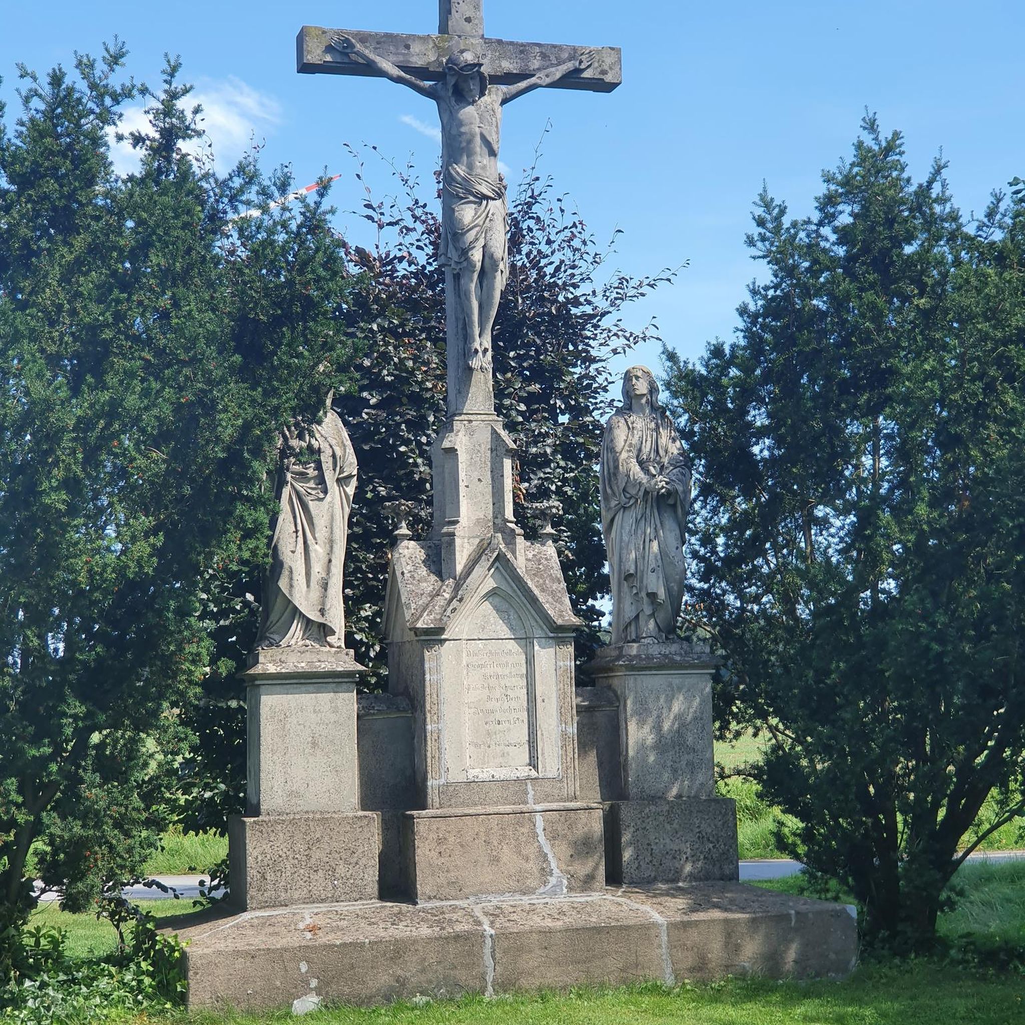
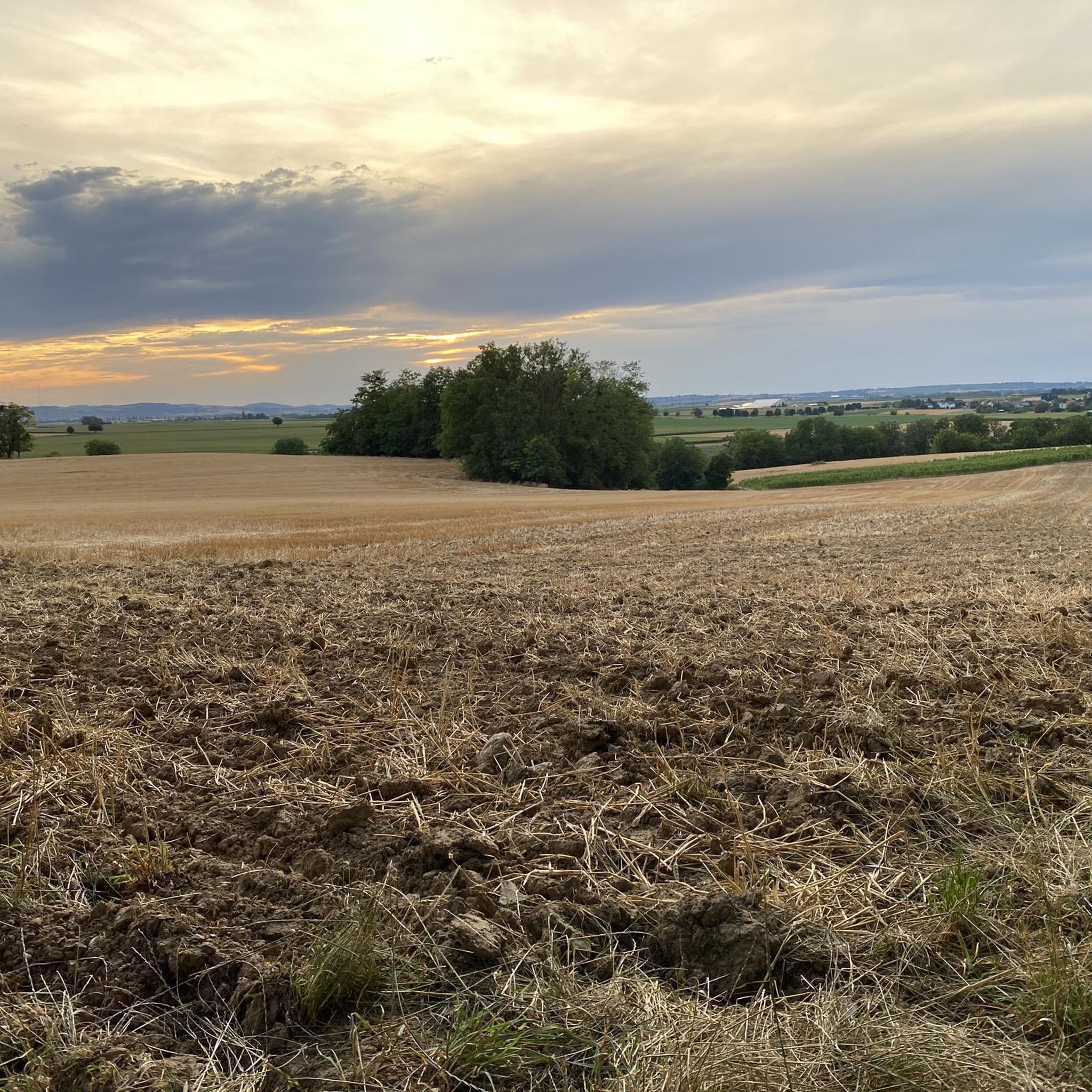
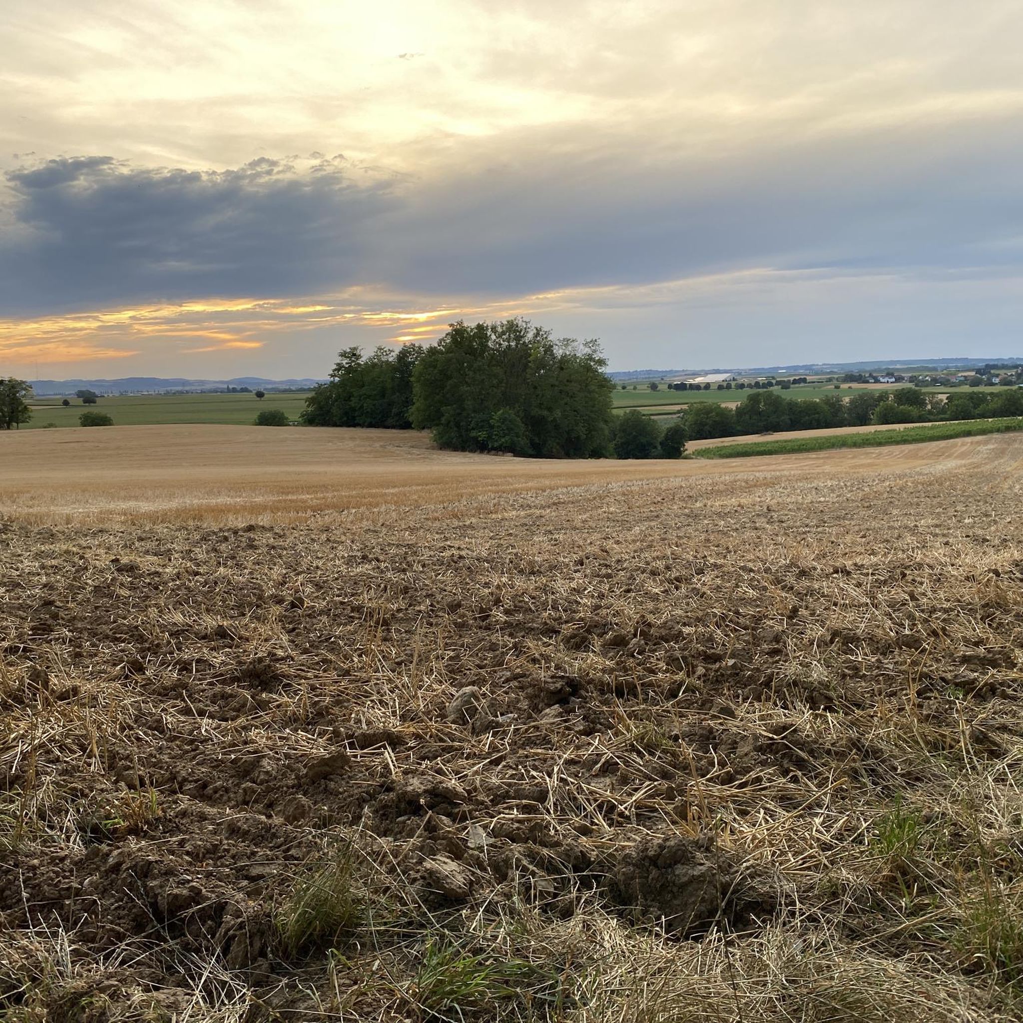
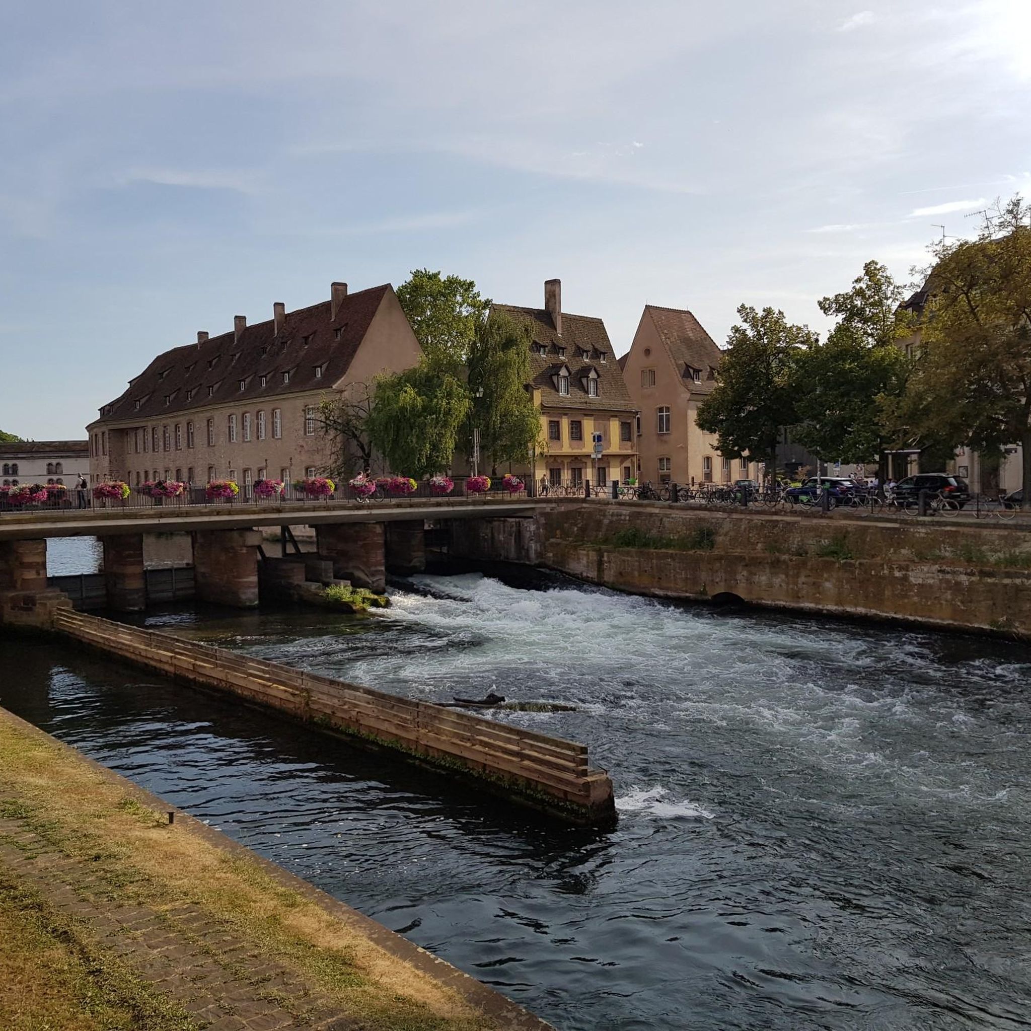
Tips from the Community

A cool passage bridge. Please push bicycles
0
0

Great landscape and beautiful cycle path.
0
0

Old Telegraph, a visit is possible during the summer months
0
0

The Canal de la Bruche is a canal in eastern France that originally connected Soultz-les-Bains near Molsheim with the city of Strasbourg. It was built in 1682 by the famous military engineer Vauban, primarily to transport sandstone from the Soultz quarries for the construction of Strasbourg's fortifications.
0
0

We really enjoyed the cycle path along the Canal de la Bruche
0
0

Beautiful view of the catering ships anchored here
1
0

Elongated rock castle above the Zorn valley, southwest of Saverne. After a varied history, it has been state property for approx. 150 years. Varied structures from different eras in the inner courtyard. Great view over the Rhine valley and the northern Vosges.
3
0

Beautiful Royal Bridge with a great view of the Ill.
0
0
Frequently Asked Questions
What is the general terrain like for road cycling around Dingsheim?
Road cycling around Dingsheim primarily features a low-lying, flat terrain within the Rhine plain. You'll encounter gentle undulations and occasional minor climbs, making it suitable for various fitness levels. The landscape is characterized by open agricultural areas, scattered woodlands, and historical fortifications, often incorporating canal paths and dedicated cycleways like the Piste des Forts.
How many road cycling routes are available in the Dingsheim area?
There are over 550 road cycling routes available around Dingsheim on komoot, offering a wide variety of options for different preferences and skill levels.
Are there road cycling routes suitable for beginners in Dingsheim?
Yes, Dingsheim offers a good selection of routes for beginners. There are over 140 easy routes, many of which follow flat canal paths or sections of the Piste des Forts. An example is the Piste des Forts – Oberhausbergen telecom antenna loop from Stutzheim-Offenheim, which is 13.7 miles (22.0 km) long and generally completed in under an hour.
Are there challenging road cycling routes for advanced riders in Dingsheim?
While the region is generally flat, there are nearly 60 difficult road cycling routes around Dingsheim for those seeking more of a challenge. These routes may feature longer distances or more frequent, albeit minor, ascents.
What are some popular loop routes for road cycling in Dingsheim?
Many road cyclists enjoy the loop routes that combine canal paths and the Piste des Forts. A popular moderate option is the Piste des Forts loop from Mittelhausbergen, which covers 19.5 miles (31.4 km) and offers views of the countryside. For an easier ride, consider the Piste des Forts – Oberhausbergen telecom antenna loop from Oberhausbergen, a 14.5 km (9 miles) route.
What can I see along the road cycling routes around Dingsheim?
While cycling, you'll experience open agricultural landscapes and woodlands. For historical and cultural sights, many routes are close to Strasbourg. Notable attractions include the iconic Strasbourg Cathedral, the charming district of La Petite France, and the historic Covered Bridges.
What is the best time of year for road cycling in Dingsheim?
The spring and autumn months generally offer the most pleasant conditions for road cycling in Dingsheim, with milder temperatures and beautiful scenery. Summer can also be enjoyable, though it can get warm, especially in the open agricultural areas. Winter cycling is possible but may be less comfortable due to colder temperatures and potentially wet conditions.
Are there any routes that explore the Alsace Wine Route near Dingsheim?
Yes, you can find routes that touch upon the famous Alsace Wine Route. For example, the End of the Alsace Wine Route loop from Pfulgriesheim is an easy 33.4 km (20.7 miles) ride that allows you to experience the edge of this renowned wine region.
What do other road cyclists enjoy most about the Dingsheim area?
The road cycling routes around Dingsheim are highly rated by the komoot community, with an average score of 4.4 stars from over 1400 reviews. Cyclists often praise the well-maintained paths, the flat and accessible terrain, and the scenic combination of canal-side riding and the Piste des Forts.
Are the road cycling routes around Dingsheim suitable for families?
Given the predominantly flat terrain and the presence of dedicated cycleways like the Piste des Forts, many of the easy and moderate routes around Dingsheim are well-suited for families. These paths often provide a safe and enjoyable environment away from heavy traffic.
What is the typical duration for a road cycling tour in Dingsheim?
The duration varies greatly depending on the route's length and your pace. Many popular routes, such as the Bruche Canal – Piste des Forts loop from Oberhausbergen (22.7 miles / 36.5 km), can be completed in about 1 hour 30 minutes, while shorter loops might take less than an hour.
Most popular attractions around Dingsheim

Get inspired with the komoot mobile app


Explore more
Browse the best Road cycling routes in other regions.
