The best road cycling routes around Freissinières
4.7
(147)
7,767
riders
65
rides
Road cycling routes around Freissinières are situated in the Hautes-Alpes, within the Southern French Alps, offering diverse terrain for cyclists. The region is characterized by its high-altitude mountain passes, many exceeding 2,000 meters, and the Freissinières Valley, which stretches 20 km along the Biaysse river. This area is part of the Écrins National Park, featuring elevations from 1,180 m to 1,780 m, surrounded by ridges culminating at 3,200 m, and dotted with larch forests.
Best road cycling routes around Freissinières
- The most popular road cycling route is Meadow of Lady Carle - National Park of the Ecrins, a 37.4 miles (60.2 km) trail that takes 3 hours 30 minutes to complete. This route offers a challenging ride through the high-altitude landscapes of the Écrins National Park.
- Another top favourite among local road cyclists is Views of the Durance – Ascent to Col d'Izoard loop from L'Argentière-les-Écrins, a moderate 27.7 miles (44.6 km) path. This route provides scenic views of the Durance Valley and includes an ascent towards the notable Col d'Izoard.
- Local road cyclists also love the Vallouise – Mur du Pallon loop from L'Argentière-les-Écrins, a 30.5 miles (49.1 km) trail leading through the Vallouise area and towards Mur du Pallon, often completed in about 2 hours 52 minutes.
- Road cycling around Freissinières is defined by challenging high-altitude mountain passes, the expansive Écrins National Park, and the scenic Freissinières Valley. The network offers options for various ability levels, from moderate climbs to more demanding routes.
- The routes in Freissinières are highly rated by the komoot community with an average score of 4.5 stars from over 220 reviews. More than 11,000 road cyclists have used komoot to explore Freissinières's varied terrain.
Last updated: July 28, 2026
5.0
(1)
61
riders
69.0km
04:04
1,680m
1,680m
Hard road ride. Very good fitness required. Mostly well-paved surfaces and easy to ride.
34
riders
191km
10:19
3,830m
3,830m
Hard road ride. Very good fitness required. Mostly well-paved surfaces and easy to ride.

Sign up for free
3.7
(3)
57
riders
37.2km
01:49
480m
480m
Moderate road ride. Good fitness required. Mostly well-paved surfaces and easy to ride.
5.0
(3)
52
riders
33.7km
02:07
920m
920m
Hard road ride. Very good fitness required. Mostly well-paved surfaces and easy to ride.
5.0
(1)
23
riders
17.5km
00:55
300m
300m
Easy road ride. Great for any fitness level. Mostly well-paved surfaces and easy to ride.
Get access to more routes and recommendations from other explorers.
Sign up for free
Already have an account?
Our route recommendations are based on thousands of hikes, rides, and runs completed by other people on komoot.
Start today with a free account
Your next adventure awaits.
Login or Signup

Other adventures around Freissinières

Tips from the Community

These supermarkets also serve cyclists as a place to get supplies.
11
0

A good stopping point close to the road to refuel with a table, water, toilet
2
0

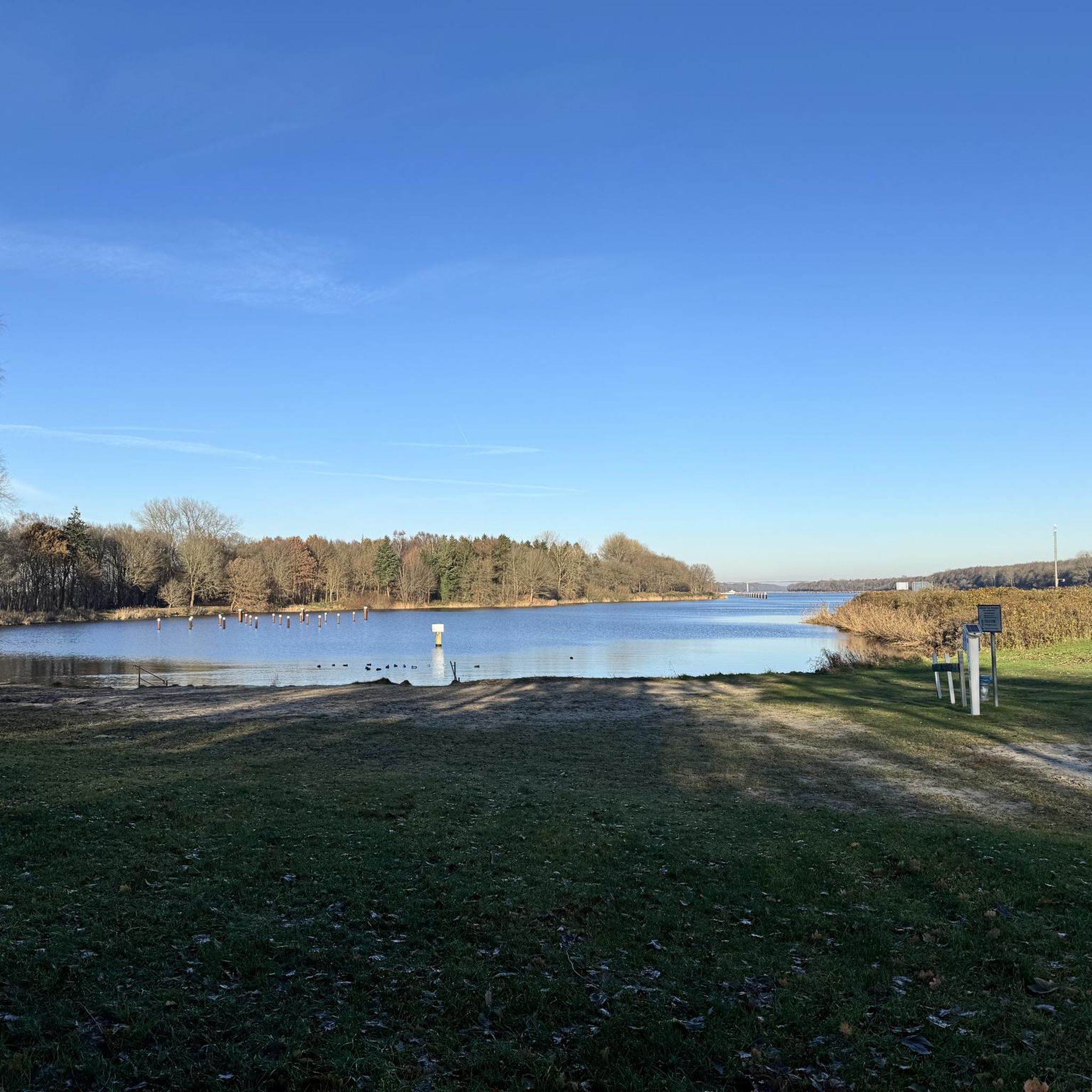
The lake's south beach is supervised every day from 12:00 p.m. to 7:00 p.m. until Sunday, August 31, 2025 inclusive.
0
0
Panoramic point for taking beautiful photos.
8
0

There are some tunnels, better to have lights on the bikes
0
0

Short climb to Reotier, wonderful view of Guillestre and the valley below 😉👍
1
0
Viewpoint over the Durance Valley.
16
0
Frequently Asked Questions
What kind of terrain can I expect on road cycling routes around Freissinières?
Road cycling around Freissinières offers a diverse range of terrain, from challenging high-altitude mountain passes exceeding 2,000 meters, such as the famous Col d'Izoard, to quieter back roads. The region is nestled within the Écrins National Park, featuring elevations from 1,180 m to 1,780 m in the Freissinières Valley, surrounded by ridges up to 3,200 m. You'll encounter both demanding climbs and more relaxed options.
Are there any easy road cycling routes suitable for beginners or families in Freissinières?
While Freissinières is known for its challenging Alpine climbs, there are options for less experienced cyclists. The region offers routes with more moderate gradients, and the Pays des Écrins also provides an extensive network of marked mountain biking and e-mountain biking trails, including six shaded loops around Freissinières ranging from 6 to 22 km, which might offer gentler alternatives. For a moderate road cycling experience, consider the Views of the Durance – Ascent to Col d'Izoard loop from L'Argentière-les-Écrins, which offers scenic views without the most extreme climbs.
What are the most scenic viewpoints or natural features to look out for on road cycling routes?
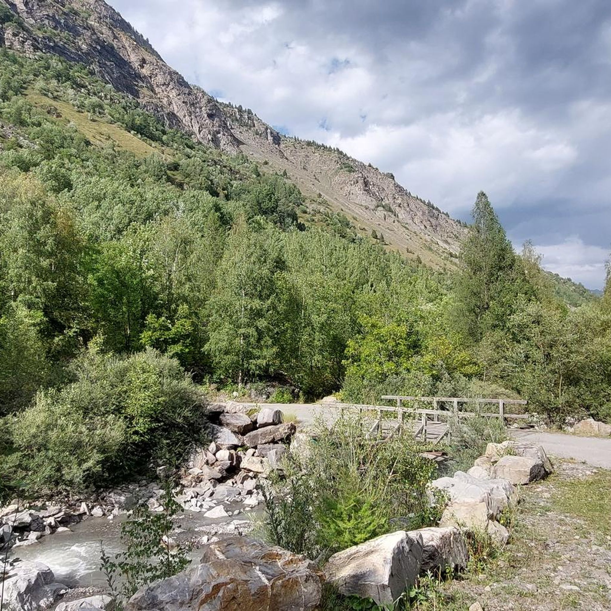
The Freissinières area is rich in natural beauty. You'll find breathtaking panoramas throughout the Freissinières Valley, which stretches along the Biaysse river. The landscape is dotted with numerous waterfalls and features beautiful larch forests. Keep an eye out for the stunning Lac des Sirènes or the impressive Tête d'Oréac for spectacular views.
Are there any circular road cycling routes available around Freissinières?
Yes, many routes in the Freissinières area are designed as loops, allowing you to start and finish in the same location. An example of a moderate circular route is the Views of the Durance – Ascent to Col d'Izoard loop from L'Argentière-les-Écrins. Another option is the Through meadows and fields – View of the Durance Valley loop from L'Argentière-les-Écrins, which also offers a scenic circular ride.
What is the best time of year for road cycling in Freissinières?
The Southern French Alps, including Freissinières, are best for road cycling during the warmer months, typically from late spring through early autumn. This period offers more stable weather conditions and ensures that high-altitude mountain passes are clear of snow. Always check local weather and road conditions before heading out, especially for routes that ascend to higher elevations.
Are there any specific permits required for road cycling within the Écrins National Park?
Freissinières lies within the magnificent Écrins National Park. Generally, road cycling on established routes and roads within the park does not require specific permits. However, it's always advisable to respect park regulations, stay on marked paths, and be mindful of the protected natural environment. For specific activities or off-road cycling, it's best to consult the Écrins National Park official guidelines.
What do other road cyclists say about the routes in Freissinières?
The road cycling routes in Freissinières are highly rated by the komoot community, with an average score of 4.5 stars from over 220 reviews. More than 11,000 road cyclists have used komoot to explore the varied terrain, often praising the challenging high-altitude mountain passes, the expansive Écrins National Park, and the scenic Freissinières Valley.
Are there challenging routes for experienced road cyclists in the Freissinières area?
Absolutely. Freissinières is a central hub for Alpine road cycling, renowned for its challenging high-altitude mountain passes. Routes like the Meadow of Lady Carle - National Park of the Ecrins offer a demanding ride through high-altitude landscapes. Another difficult option is the Vallouise – Mur du Pallon loop from L'Argentière-les-Écrins, which includes significant elevation gain.
Can I find cafes or accommodation directly in Freissinières village?
Freissinières is an authentic village offering a tranquil atmosphere. While it provides a change of pace from urban life, it's a smaller community. You can find accommodation options and potentially local cafes or restaurants within the village or in nearby larger towns like L'Argentière-la-Bessée. It's recommended to check availability in advance, especially during peak cycling season.
Are there parking options available for road cyclists in Freissinières?
Yes, parking is generally available in Freissinières village and at common starting points for routes. As a smaller, outdoor-focused community, it accommodates visitors. However, during peak season, it's always wise to arrive early to secure a spot, especially if you're starting from popular trailheads.
What are some unique attractions or historical sites near the road cycling routes?
Beyond the natural beauty, you can explore unique sites. The isolated hamlet of Dormillouse, accessible by a 45-minute walk, is the only permanently inhabited village in the heart of the Écrins National Park, known for its traditional architecture and historical significance. You might also encounter the Mur du Pallon, a notable climbing spot, or the Col de la Pousterle, a mountain pass offering scenic views.
Is public transport available to Freissinières, and can I bring my bike?
Public transport options to Freissinières might be limited due to its secluded nature. The nearest larger town with more comprehensive public transport links is L'Argentière-la-Bessée. It's advisable to check local bus schedules or regional transport services for connections to Freissinières. Policies regarding bringing bikes on public transport can vary, so confirm with the specific transport provider beforehand.
Most popular routes around Freissinières
Most popular attractions around Freissinières

Get inspired with the komoot mobile app


Explore more
Browse the best Road cycling routes in other regions.
