The best cycling routes around Arbusigny
4.4
(211)
5,912
riders
242
rides
Touring cycling around Arbusigny, France, offers a diverse landscape for cyclists, situated in the Haute-Savoie department. The region is characterized by varied terrain, including forest roads, plateaus, and significant elevation changes, providing routes for different fitness levels. Proximity to natural features like Mont Salève and Lac d'Annecy enhances the cycling experience, with many routes offering panoramic views of the surrounding mountain ranges.
Best touring cycling routes around Arbusigny
- The most popular touring cycling route is Mouille Marin Pond – Thorens-Glières…
Last updated: September 29, 2026
4.5
(2)
70
riders
Hard bike ride. Very good fitness required. Mostly paved surfaces. Suitable for all skill levels.
4.0
(2)
21
riders
27.4km
01:54
500m
500m
Hard bike ride. Very good fitness required. Mostly paved surfaces. Suitable for all skill levels.

11
riders
24.7km
01:40
410m
410m
Moderate bike ride. Good fitness required. Mostly paved surfaces. Suitable for all skill levels.
5.0
(1)
7
riders
Moderate bike ride. Good fitness required. Mostly paved surfaces. Suitable for all skill levels.
10
riders
48.3km
03:28
1,040m
1,040m
Hard bike ride. Very good fitness required. Mostly paved surfaces. Suitable for all skill levels.
Get access to more routes and recommendations from other explorers.
Already have an account?
Our route recommendations are based on thousands of hikes, rides, and runs completed by other people on komoot.
Start today with a free account
Your next adventure awaits.
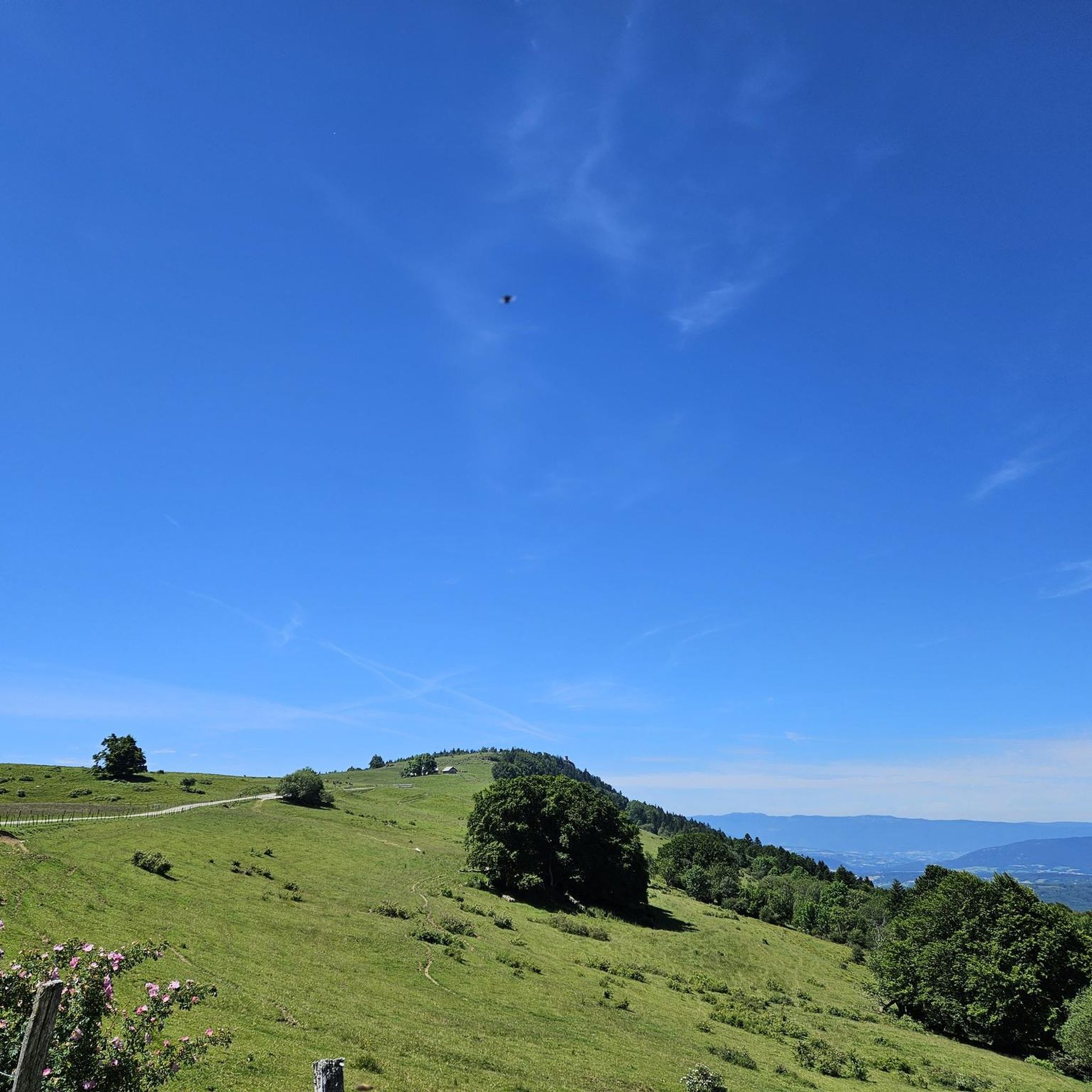
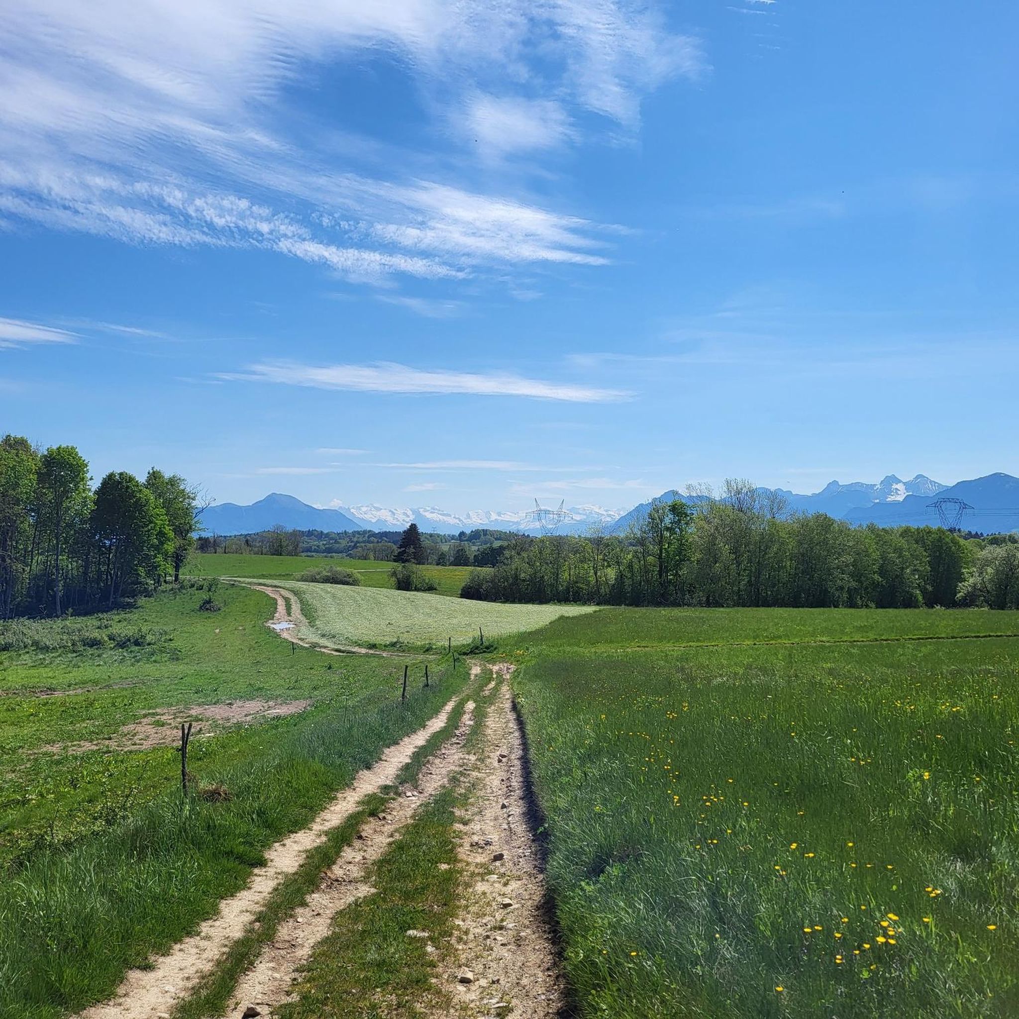
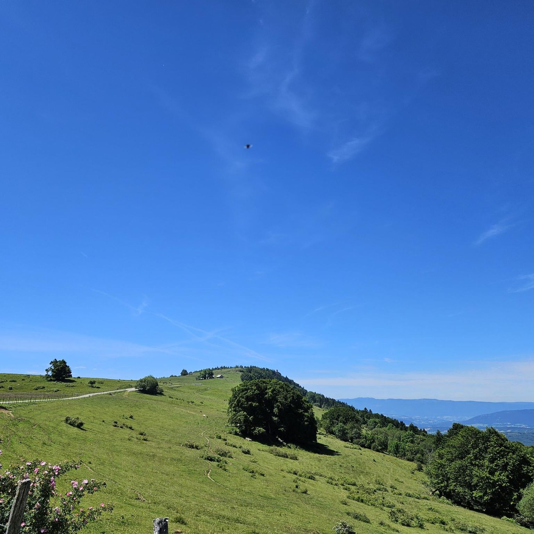
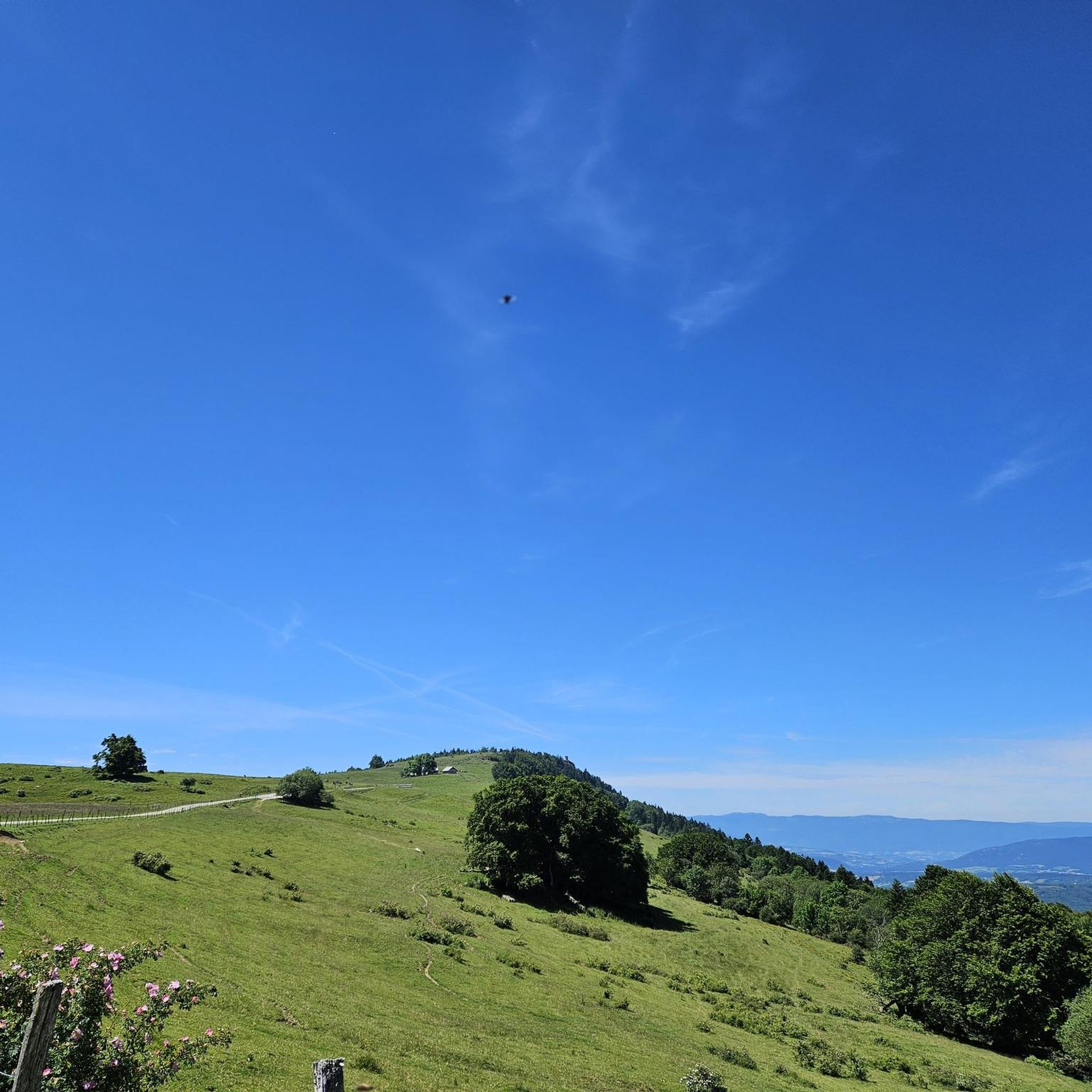


Tips from the Community

To the NE of the lake, following the route des follats, near the animal park, you'll find a developed area with tables, notably under a shelter, a water point, toilets… In short, a comfortable bivouac spot. You probably won't be alone, but it's an opportunity to break the solitude of your long bike tour.
0
0

On the way to the Col and Plateau des Glières ... Grocery store, pharmacy, tobacco shop, butcher, cheese shop, restaurants, etc. Water in front of the town hall Bike repair point behind the town hall
0
0

This lake is divided into a large lake and a small canal. Trout fishing is practiced here, as well as carp fishing. Special permits are available in several shops and bars in town. Main fish: rainbow trout, carp, roach, bream, catfish, pike, perch, etc. Depth: generally 1.5m to 2m, but near the dike, it can be between 4 and 5m.
2
0
Intersection point les Dronières (Parking) Altitude 790m
1
0
Intersection point Les Dronières Altitude 790m
0
0
Intersection point Les Dronières Altitude 790m
1
0

worth to go, but it's if it's to go on the plateau, it's nicer the other way up!
0
1

Very beautiful crossing with a huge gorge
0
0
Frequently Asked Questions
How many touring cycling routes are available around Arbusigny?
Arbusigny offers a wide selection of touring cycling routes, with over 240 different options available. These routes cater to various skill levels, ranging from easy rides to more challenging adventures across the diverse terrain of the Haute-Savoie department.
Are there easy touring cycling routes suitable for beginners or families in Arbusigny?
Yes, Arbusigny provides several easy touring cycling routes perfect for beginners or families. While many routes feature significant elevation changes, there are 29 routes classified as easy. These typically offer mostly well-paved surfaces and less demanding profiles, allowing for a pleasant ride through the scenic countryside.
What kind of landscapes and natural features can I expect to see while cycling around Arbusigny?
Cycling around Arbusigny offers a rich tapestry of landscapes. You'll encounter varied terrain including forest roads, plateaus, and significant mountains like Mont Salève. The region is also close to the famous Lac d'Annecy and features picturesque gorges such as the Gorges du Borne. Expect panoramic views of the surrounding mountain ranges, including Mont Blanc and Lake Geneva, especially from higher elevations.
Are there any challenging routes for experienced touring cyclists in the Arbusigny area?
Absolutely. Arbusigny is an excellent destination for experienced touring cyclists seeking a challenge. The region is known for its significant elevation gains and can include unpaved segments. For instance, the Mouille Marin Pond – Thorens-Glières loop from Crêt de la Gouette is a difficult 35.7 km route with over 580m of elevation gain. Another challenging option is the Usses Walk – Easy riding, great views loop from Vovray-en-Bornes, a 26.8 km path with nearly 500m of ascent.
Can I find circular touring cycling routes around Arbusigny?
Yes, many of the touring cycling routes around Arbusigny are designed as loops, allowing you to start and end at the same point. Examples include the Mouille Marin Pond – Thorens-Glières loop from Crêt de la Gouette, the Usses Walk – Easy riding, great views loop from Vovray-en-Bornes, and the Col le Parc loop from Menthonnex-en-Bornes, offering varied terrain and scenic views.
What are some notable viewpoints or attractions along the cycling routes near Arbusigny?
The region around Arbusigny is rich with stunning viewpoints and attractions. You can enjoy breathtaking panoramas from Mont Salève, including the View of Mont Blanc and Lake Annecy from Mont Salève or the View of the Salève plateau from Les Crêts. Other notable points include the Téléphérique du Salève and various mountain passes like Croisette Pass and Col des Pitons, which are popular with cyclists.
What do other cyclists say about touring cycling in Arbusigny?
The touring cycling routes around Arbusigny are highly regarded by the komoot community, boasting an average rating of 4.4 stars from over 190 reviews. Cyclists often praise the diverse terrain, from wooded areas to open vistas, and the stunning panoramic views of the surrounding mountains and lakes. Over 5,400 touring cyclists have used komoot to explore the area, highlighting its popularity and appeal.
What is the best time of year to go touring cycling in Arbusigny?
The Haute-Savoie region, including Arbusigny, is generally excellent for cycling from spring through autumn. Summer offers warm weather and full access to all routes, though some higher passes might be busy. Spring and autumn provide cooler temperatures and vibrant scenery, ideal for longer rides. Always check local weather conditions, especially for mountain passes, as conditions can change rapidly.
Is it possible to reach Arbusigny by public transport for cycling?
While Arbusigny itself is a smaller commune, the broader Haute-Savoie region has public transport options. For specific routes or connections to Arbusigny, it's advisable to check local bus services or regional train lines that connect to larger towns like Annecy, from which you might find more localized transport or cycling paths leading towards Arbusigny. However, direct public transport options specifically for cyclists to Arbusigny trailheads might be limited.
Where can I park my car when starting a cycling tour in Arbusigny?
Parking availability will vary depending on your chosen starting point for a cycling tour in Arbusigny. Many routes begin from small villages or designated trailheads where local parking might be available. For example, routes like the Mouille Marin Pond – Thorens-Glières loop start from areas like Crêt de la Gouette. It's recommended to check the specific route details on komoot for information on parking at the suggested starting points.
Are there any dog-friendly cycling routes around Arbusigny?
While specific dog-friendly designations for cycling routes are not always explicit, many paths in the natural areas around Arbusigny, especially those through forest roads and plateaus, can be suitable for cycling with a well-behaved dog on a leash, provided local regulations allow. Always ensure your dog is accustomed to cycling, and carry enough water for both of you. It's best to choose quieter routes away from heavy traffic.
Are there options for longer touring cycling adventures that explore the wider Haute-Savoie region?
Absolutely. Arbusigny is ideally situated for exploring the wider Haute-Savoie region. You can connect to longer routes that traverse iconic passes often featured in the Tour de France, or extend your rides to include the dedicated cycle paths around Lac d'Annecy, approximately 22 km away. The region offers extensive networks for cycle tourism, allowing for multi-day adventures through diverse mountain and lake landscapes.
Can I find places to eat or stay near the cycling routes in Arbusigny?
Yes, the region around Arbusigny offers various options for refreshments and accommodation. While Arbusigny itself is a smaller commune, nearby charming villages and towns like Reignier, La Roche-sur-Foron, and especially Annecy (the 'Venice of the Alps') provide a range of cafes, restaurants, and lodging options. These can serve as excellent cultural stops or overnight stays to complement your cycling excursions.
Most popular routes around Arbusigny
Most popular attractions around Arbusigny

Get inspired with the komoot mobile app


Explore more
Browse the best Cycling routes in other regions.
