The best road cycling routes around La Roche-Sur-Foron
4.3
(42)
1,632
riders
47
rides
Road cycling around La Roche-Sur-Foron offers diverse landscapes, from challenging Alpine foothills to picturesque pre-Alpine terrain. The region is characterized by significant elevation changes, numerous mountain passes, and routes that traverse valleys and dense forests. Cyclists can expect varied topography, including both demanding climbs and more moderate sections, providing a comprehensive road cycling experience. This area is situated at the foot of the Haute-Savoie mountains, providing direct access to the Aravis Range.
Best road cycling routes around La Roche-Sur-Foron
- The most popular road cycling route is Croisette Pass – Col des Pitons loop from La Roche-sur-Foron, a 41.0 miles (66.0 km) trail that takes 3 hours 35 minutes to complete, featuring challenging climbs over mountain passes.
- Another top favourite among local road cyclists is Col des Fleuries – Glières Plateau loop from La Roche-sur-Foron, a difficult 34.8 miles (56.0 km) path. This route includes well-known cols and offers scenic views across the plateau.
- Local road cyclists also love the Col de Joux Plane – Col du Ranfolly loop from La Roche-sur-Foron, a 64.7 miles (104.2 km) trail leading through significant Alpine climbs, often completed in about 5 hours 39 minutes.
- Road cycling around La Roche-Sur-Foron is defined by Alpine foothills, challenging mountain passes, and scenic valleys. The network offers options for various ability levels, from moderate rides to difficult ascents.
- The routes in La Roche-Sur-Foron are highly rated by the komoot community with an average score of 4.2 stars from over 30 reviews. More than 1,500 road cyclists have used komoot to explore La Roche-Sur-Foron's varied terrain.
Last updated: May 11, 2026
4.4
(5)
148
riders
66.1km
03:35
1,330m
1,330m
Hard road ride. Very good fitness required. Mostly well-paved surfaces and easy to ride.
4.3
(6)
264
riders
56.0km
03:36
1,520m
1,520m
Hard road ride. Very good fitness required. Some segments of this route may be unpaved and difficult to ride.

Sign up for free
5.0
(1)
88
riders
104km
05:39
2,050m
2,050m
Hard road ride. Very good fitness required. Mostly well-paved surfaces and easy to ride.
4.5
(2)
83
riders
59.0km
03:33
1,500m
1,500m
Hard road ride. Very good fitness required. Some segments of this route may be unpaved and difficult to ride.
4.0
(3)
69
riders
28.9km
01:26
470m
470m
Moderate road ride. Good fitness required. Some segments of this route may be unpaved and difficult to ride.
Get access to more routes and recommendations from other explorers.
Sign up for free
Already have an account?
Our route recommendations are based on thousands of hikes, rides, and runs completed by other people on komoot.
Start today with a free account
Your next adventure awaits.
Login or Signup
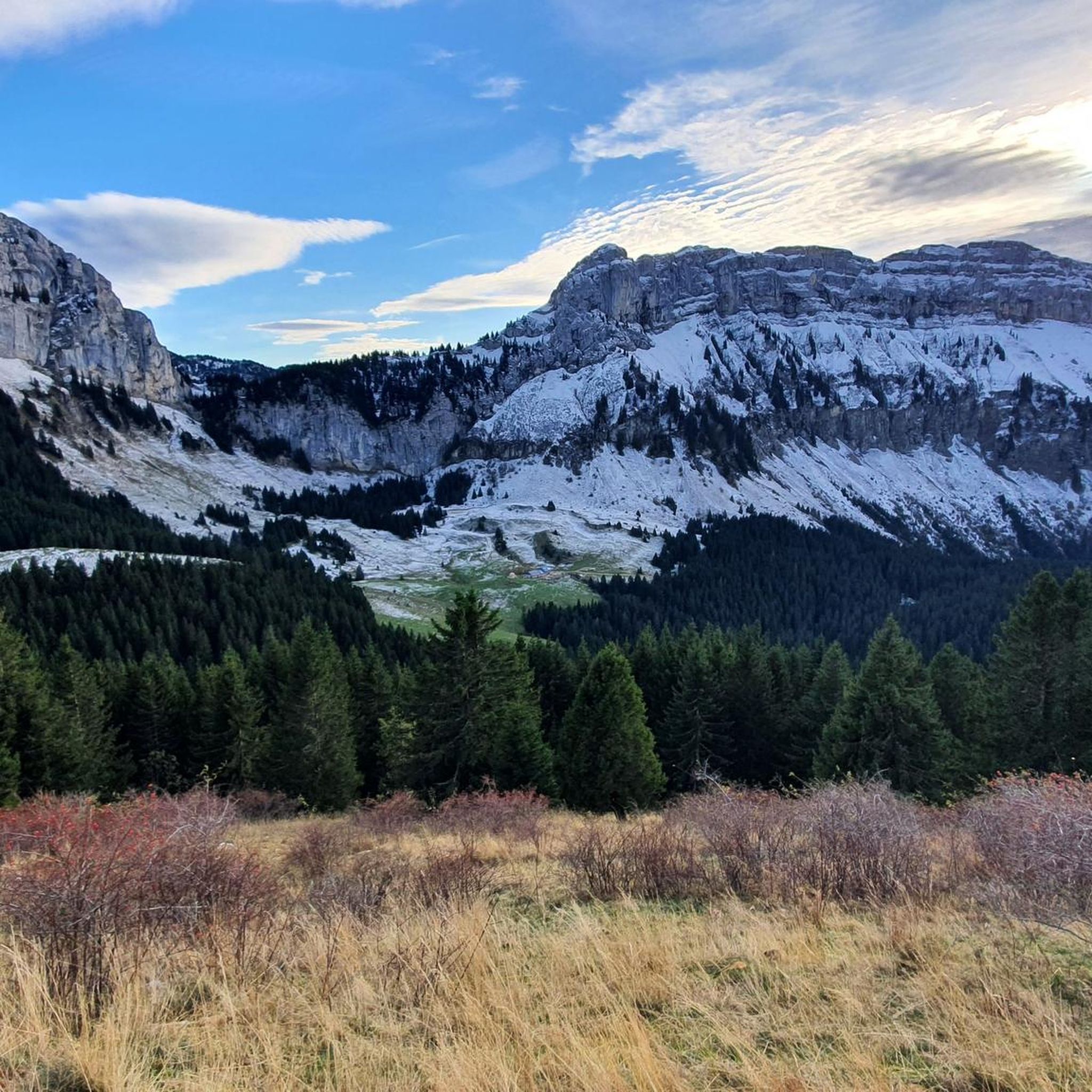
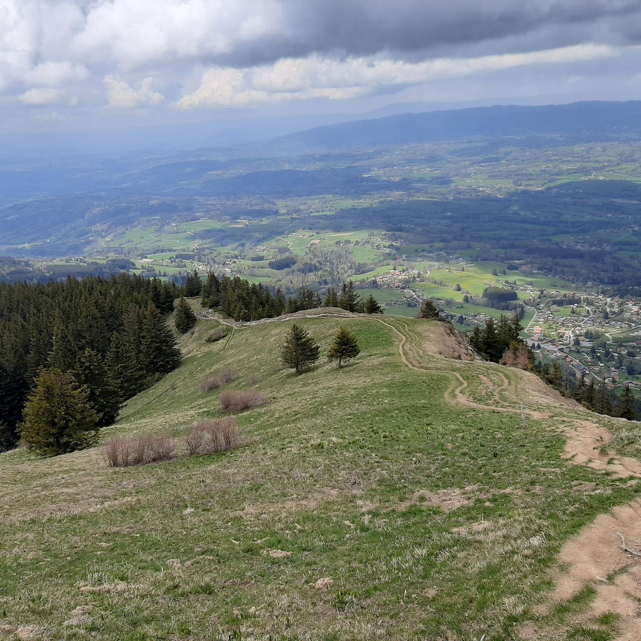
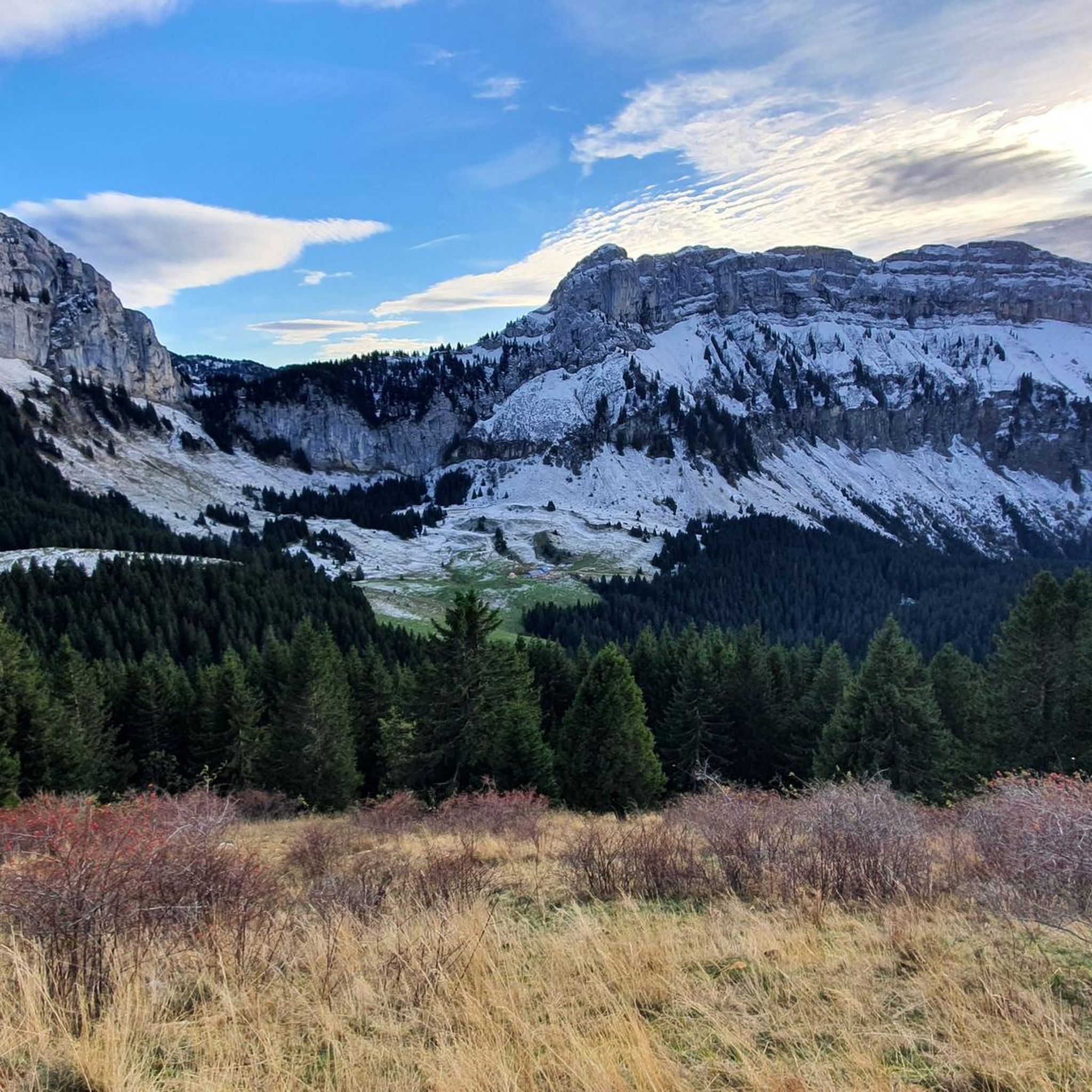
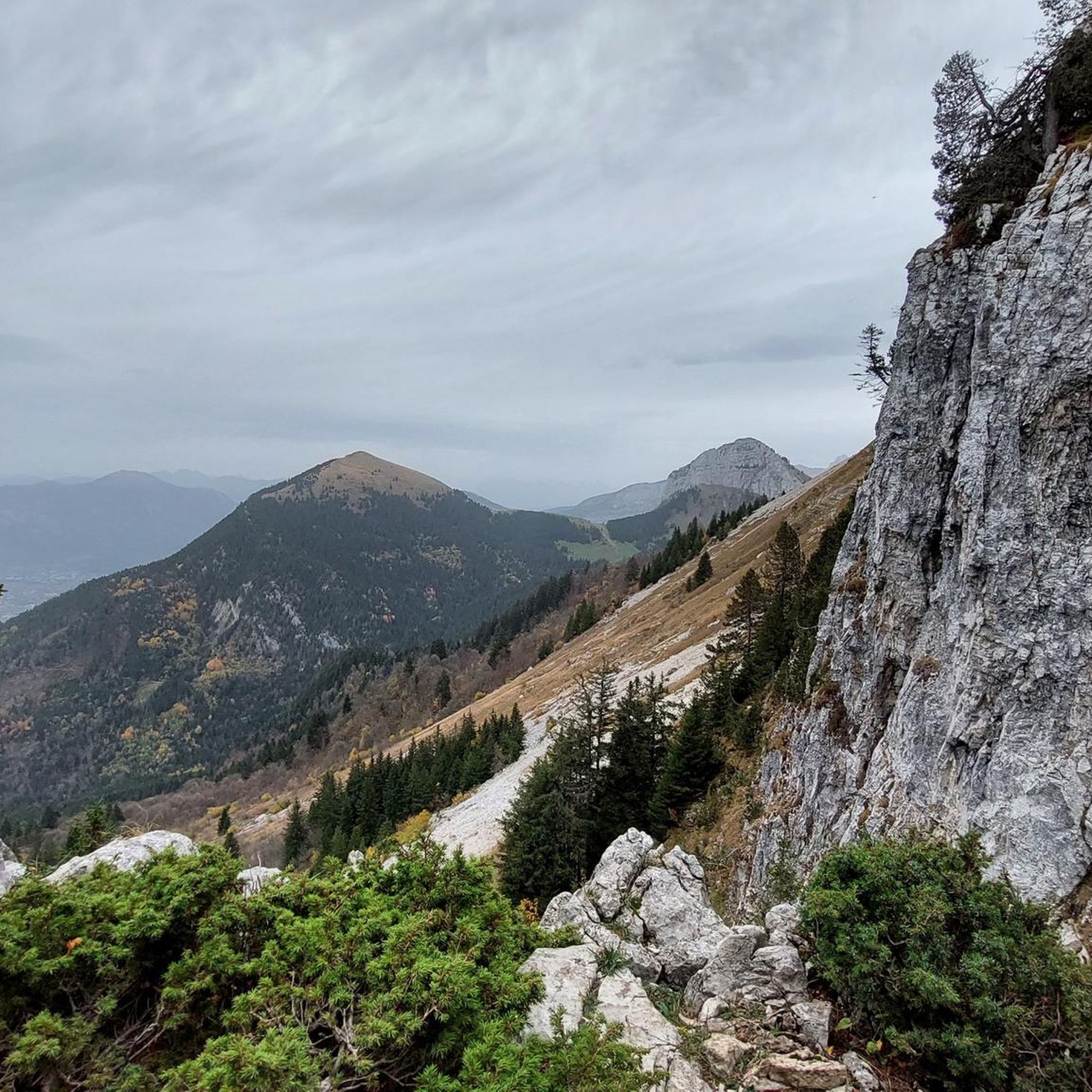


Tips from the Community

Magnificent fresco in homage to the resistance fighters of the Glières plateau.
0
0

Beautiful panorama of Lake Geneva, the Geneva region and the Jura
0
0
Beautiful panorama of Lake Annecy, the Aravis and Mont Blanc
0
0

magnificent view of Geneva
0
0

This lake is divided into a large lake and a small canal. Trout fishing is practiced here, as well as carp fishing. Special permits are available in several shops and bars in town. Main fish: rainbow trout, carp, roach, bream, catfish, pike, perch, etc. Depth: generally 1.5m to 2m, but near the dike, it can be between 4 and 5m.
1
0
Intersection point les Dronières (Parking) Altitude 790m
1
0
Intersection point Les Dronières Altitude 790m
1
0

Magnificent panorama of the valley at the foot of the Alps. We hear the cowbells in spring, the breeze is gentle, the shade of a tree welcomes us for a moment to enjoy a short break on the ascent of Salève. This view alone is worth the effort of climbing up there!
0
0
Frequently Asked Questions
What kind of terrain can I expect when road cycling around La Roche-sur-Foron?
The region offers diverse landscapes, from challenging Alpine foothills to picturesque pre-Alpine terrain. You'll encounter significant elevation changes, numerous mountain passes, and routes that traverse valleys and dense forests. The area is situated at the foot of the Haute-Savoie mountains, providing direct access to the Aravis Range.
Are there road cycling routes suitable for beginners or those looking for an easier ride?
Yes, while the region is known for its challenging climbs, there are also moderate options. For example, the Pont de Pierre de Cluses – Pont-Vieux de Cluses loop from La Roche-sur-Foron is a moderate 53.4 km route with a manageable elevation gain of around 300 meters, offering a less demanding experience.
What are some of the more challenging road cycling routes or climbs in the area?
La Roche-sur-Foron is an excellent base for challenging rides. Notable difficult routes include the Col de Joux Plane – Col du Ranfolly loop from La Roche-sur-Foron, which is over 100 km with more than 2,000 meters of ascent. Other demanding options feature famous passes like the Col des Glières and Col de la Colombière, often seen in professional races.
What natural features and scenic viewpoints can I discover while cycling?
The region boasts breathtaking natural beauty. You can enjoy panoramic views of valleys, rolling hills, and distant snowy peaks like Mont Blanc from routes such as the 'View of Mont Blanc – La-Roche-sur-Foron loop'. The Pas du Roc viewpoint offers stunning vistas, and you might even encounter natural monuments like the Fairies' Stone or the Cascade du Dard waterfall.
Are there any historical landmarks or attractions along the cycling routes?
La Roche-sur-Foron itself is a charming medieval town with rich heritage. While cycling, you might pass by remnants of castles, historic churches, and Renaissance arcaded houses. The town's recognition as a 'Ville et Métiers d'Art' highlights its cultural significance. For more information on the town's heritage, you can visit hautesavoiemontblanc-tourisme.com.
What is the best time of year for road cycling in La Roche-sur-Foron?
The region is ideal for cycling from spring through autumn. Spring offers lush greenery and pleasant temperatures, while summer provides warm, sunny days perfect for long rides. Autumn brings vibrant foliage and cooler, crisp air. Always check local weather forecasts, especially for higher mountain passes, as conditions can change rapidly.
Are there any circular road cycling routes available?
Many of the road cycling routes around La Roche-sur-Foron are designed as loops, allowing you to start and finish in the same location. Examples include the challenging Croisette Pass – Col des Pitons loop from La Roche-sur-Foron and the demanding Col des Fleuries – Glières Plateau loop from La Roche-sur-Foron.
How long do road cycling routes typically take to complete?
Route durations vary significantly based on distance, elevation, and your fitness level. Shorter, moderate routes like the View of the Mountain Peaks – Col des Fleuries loop from La Roche-sur-Foron (50.4 km) can take around 2.5 to 3 hours. Longer, more difficult routes, such as the 104 km Col de Joux Plane – Col du Ranfolly loop, can take over 5 hours.
What do other cyclists say about road cycling in La Roche-sur-Foron?
The area is highly rated by the komoot community, with an average score of 4.2 stars from over 30 reviews. Cyclists often praise the diverse terrain, the challenging climbs, and the stunning panoramic views of the Alpine landscape.
Is La Roche-sur-Foron well-connected by public transport for cyclists?
La Roche-sur-Foron is a strategic location in Haute-Savoie. While specific public transport options for carrying bikes should be checked with local providers, the town's central position makes it accessible. It's also a convenient base for exploring nearby towns like Annecy and the ski resort of La Clusaz, which may offer further transport links.
Are there any specific amenities for cyclists in La Roche-sur-Foron?
As a popular cycling destination, La Roche-sur-Foron and the surrounding towns are generally welcoming to cyclists. You can expect to find cafes, restaurants, and accommodations that cater to visitors. Many of the significant climbs in the French mountains, including those accessible from La Roche-sur-Foron, are equipped with kilometer markers to aid cyclists with navigation and pacing.
Can I find routes that offer views of Mont Blanc?
Absolutely. The region's location at the foot of the Alps means many routes offer spectacular views of distant snowy peaks. The 'View of Mont Blanc – La-Roche-sur-Foron loop' is specifically designed to showcase these stunning vistas, providing an unforgettable backdrop to your ride.
Most popular routes around La Roche-Sur-Foron
Most popular attractions around La Roche-Sur-Foron

Get inspired with the komoot mobile app


Explore more
Browse the best Road cycling routes in other regions.
