The best running trails around Marignier
4.5
(47)
2,499
runners
40
runs
Jogging routes around Marignier, located in the Haute-Savoie region, offer a diverse landscape for runners. The area features both accessible riverbanks along the Giffre river and challenging mountainous terrain, including routes leading to Le Môle. Trails often traverse pine forests and verdant meadows, providing varied running environments. This topography allows for routes with substantial elevation gain as well as flatter paths.
Best jogging routes around Marignier
- The most popular jogging route is Le Môle summit cross – Le Môle summit…
Last updated: August 6, 2026
54
runners
9.63km
00:59
10m
10m
Moderate run. Good fitness required. Mostly paved surfaces. Suitable for all skill levels.
42
runners
5.76km
01:16
490m
490m
Hard run. Very good fitness required. Sure-footedness, sturdy shoes and alpine experience required.

Sign up for free
36
runners
17.1km
03:21
1,390m
1,390m
Hard run. Very good fitness required. Sure-footedness, sturdy shoes and alpine experience required.
32
runners
17.3km
03:35
1,310m
1,310m
Hard run. Very good fitness required. Sure-footedness, sturdy shoes and alpine experience required.
106
runners
17.1km
01:47
40m
40m
Hard run. Very good fitness required. Mostly paved surfaces. Suitable for all skill levels.
Get access to more routes and recommendations from other explorers.
Sign up for free
Already have an account?
Our route recommendations are based on thousands of hikes, rides, and runs completed by other people on komoot.
Start today with a free account
Your next adventure awaits.
Login or Signup
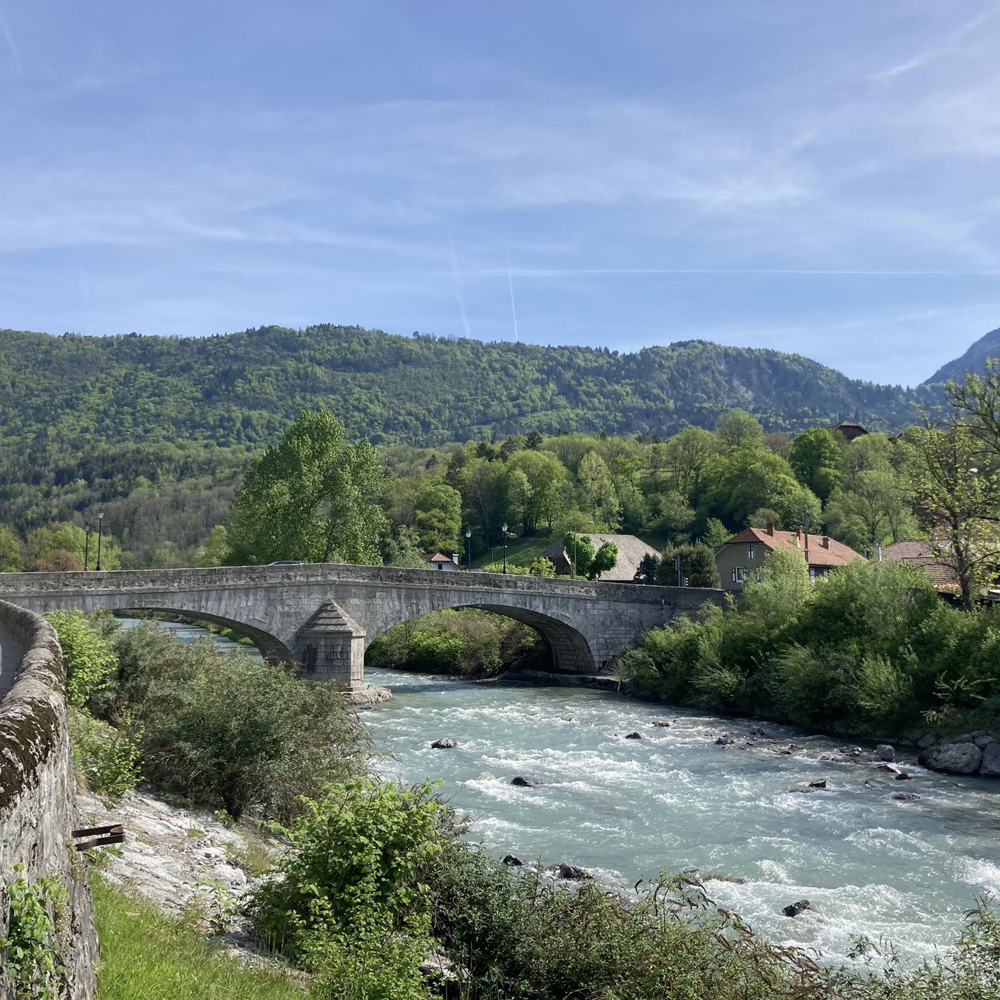
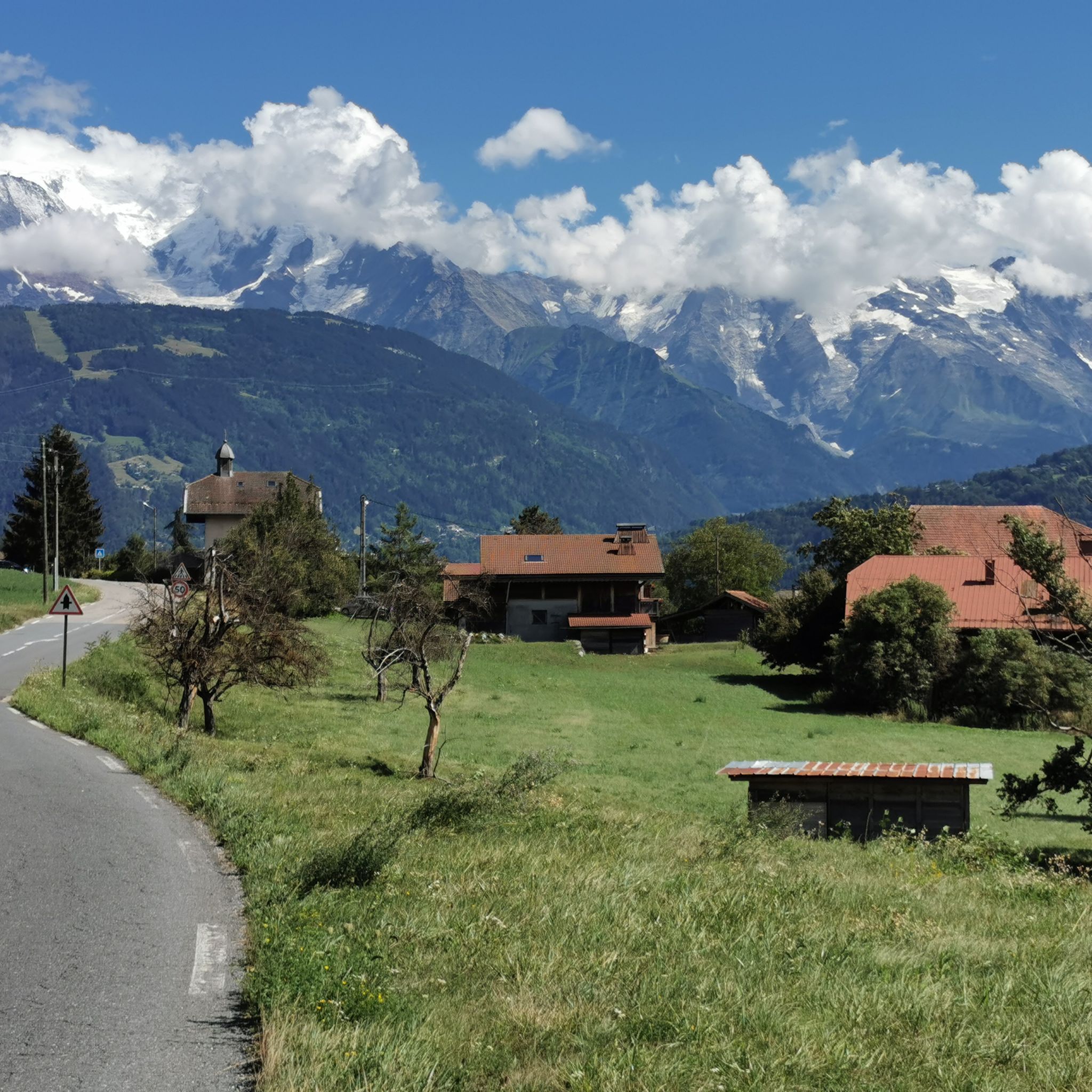
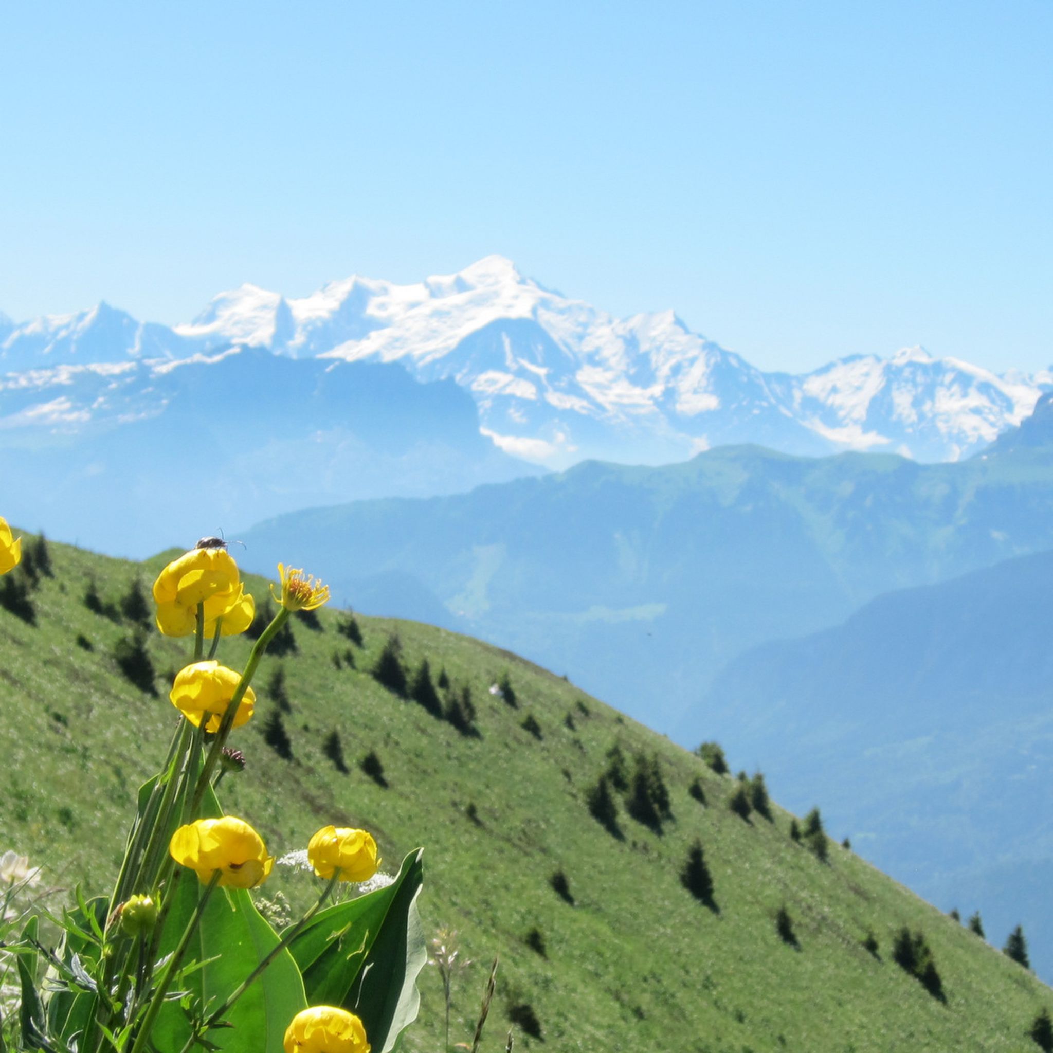
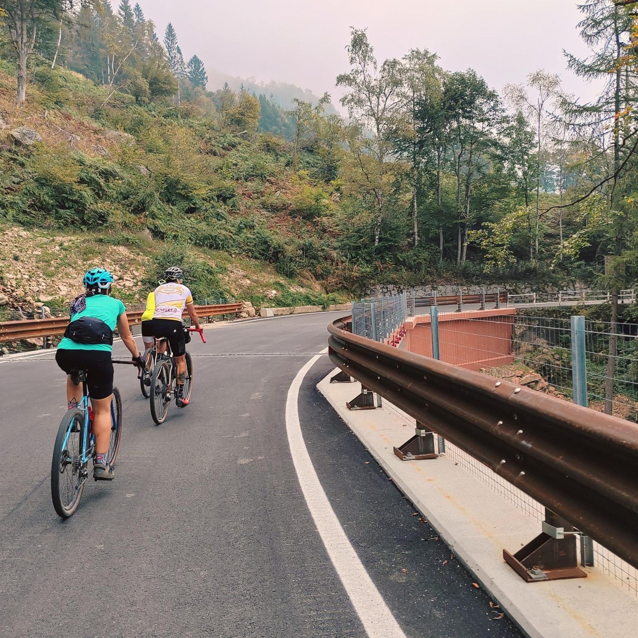
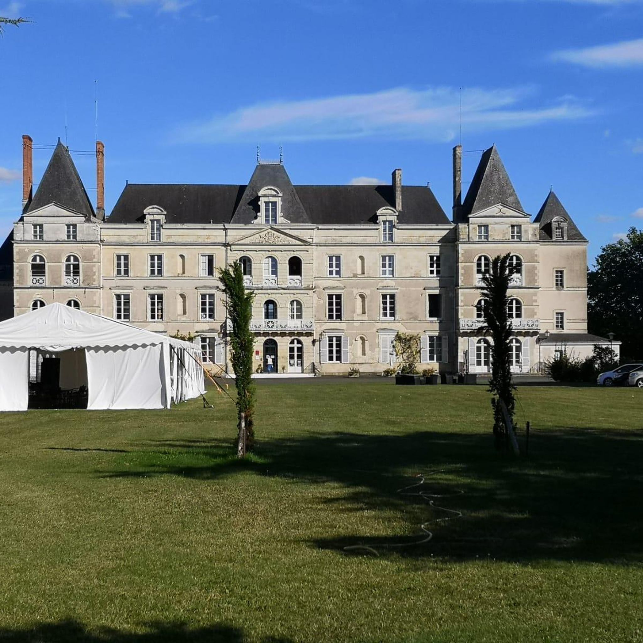
Tips from the Community

360° view of Mont-Blanc, Dents du Midi, Swiss Alps, the Jura, the Salève, Lake Geneva etc... Absolutely beautiful and with today's cloudless sky it was magnificent.
0
0

Very nice hike. It was quite crowded today. Contrary to what’s written in the description, I didn’t see any particularly risky passages
0
0


I really liked this tour: St Pierre, Gorges du Borne, Col de la Colombiere, Col de Romme, Cluses 2023_06_09 https://www.komoot.de/tour/1159958926
0
1

Greenway Veloweg vom Lemon zum Mont Blanc
1
0
Greenway Veloweg vom Lemon zum Mont Blanc
0
1

Tailrace of the Pressy power station built in 1954 and completed in 1956 the canal is 22m wide and 1290m long
1
0
It is a wooden footbridge 50m long, 6m wide and weighing around 50 tonnes, it allows you to reach the center of Marignier by bike from the station.
0
0
Frequently Asked Questions
How many running routes are available around Marignier?
Marignier offers a wide selection of running routes, with over 35 different trails to explore. These routes cater to various fitness levels, ranging from easy riverside paths to challenging mountain ascents.
Are there easy or beginner-friendly running routes in Marignier?
Yes, for those seeking a gentler pace, Marignier features pleasant running routes along the banks of the Giffre river. These paths are generally flat and accessible, perfect for a relaxed run or a leisurely jog. The "Au fil du Giffre" green path is a great example, sometimes featuring an "Art and Nature Trail" for added interest.
What kind of challenging running routes can I find near Marignier?
For runners looking for a more strenuous experience, Marignier provides numerous challenging trails, particularly those leading to Le Môle. These routes often involve significant elevation gain and traverse pine forests and verdant meadows. One such route is Le Môle loop from Marignier, which covers nearly 17 km with substantial climbing.
Are there any running routes with scenic views in Marignier?
Absolutely! Many routes in the region offer breathtaking panoramas. Trails leading to Le Môle, for instance, provide exceptional 360-degree views of the Arve valley, the Aravis mountains, the Glières plateau, Mont Blanc, and even Lac Léman. A popular moderate route specifically designed for views is the View of Mont Blanc loop from Marignier.
What do other runners enjoy the most about jogging in Marignier?
The running routes in Marignier are highly rated by the komoot community, with an average score of 4.5 stars from nearly 40 reviews. Runners frequently praise the diverse terrain, from serene riverside paths to challenging mountain trails, and the stunning Alpine views, especially those of Mont Blanc and the surrounding valleys.
Are there any notable landmarks or attractions along the running routes?
Yes, the area around Marignier offers several points of interest. While running, you might encounter the historic Pont Vieux de Cluses, which is part of the Watch museum – Pont Vieux de Cluses loop from Marignier. The region also boasts impressive mountain peaks like Le Môle summit cross and Pic de Jallouvre, which can be seen from many trails.
Can I find circular running routes in Marignier?
Many of the running trails around Marignier are designed as loops, allowing you to start and finish at the same point. For example, the challenging Le Môle summit cross – Le Môle summit loop from Marignier is a popular circular option that rewards with extensive views.
What is the best time of year for running in Marignier?
Marignier offers great running opportunities throughout much of the year. Spring and autumn provide pleasant temperatures and vibrant scenery. Summer is also popular, with the Giffre river paths offering a refreshing coolness. For higher altitude trails like those on Le Môle, late spring to early autumn is ideal to avoid snow and ice.
Are there any long-distance running options available?
Yes, for those seeking longer distances, Marignier has several routes exceeding 10 miles. The Watch museum – Pont Vieux de Cluses loop from Marignier is a significant 12.6-mile trail that allows for an extended run through the local landscape.
Are there any lakes or water features near the running trails?
The Giffre river is a prominent water feature, offering refreshing paths along its banks. While not directly on typical jogging paths, the broader area includes beautiful lakes such as Lessy lake and Lac Bénit, which can be destinations for longer runs or hikes in the surrounding mountains.
What kind of terrain can I expect on the running routes?
The terrain around Marignier is highly varied. You can expect flat, well-maintained paths along the Giffre river, ideal for easy runs. As you venture towards the mountains, trails become more rugged, traversing pine forests, open meadows, and steep ascents, particularly on routes leading to Le Môle.
Most popular routes around Marignier
Most popular attractions around Marignier

Get inspired with the komoot mobile app


Explore more
Browse the best Running Trails & Routes in other regions.
