The best road cycling routes around Böhmenkirch
4.6
(734)
7,885
riders
258
rides
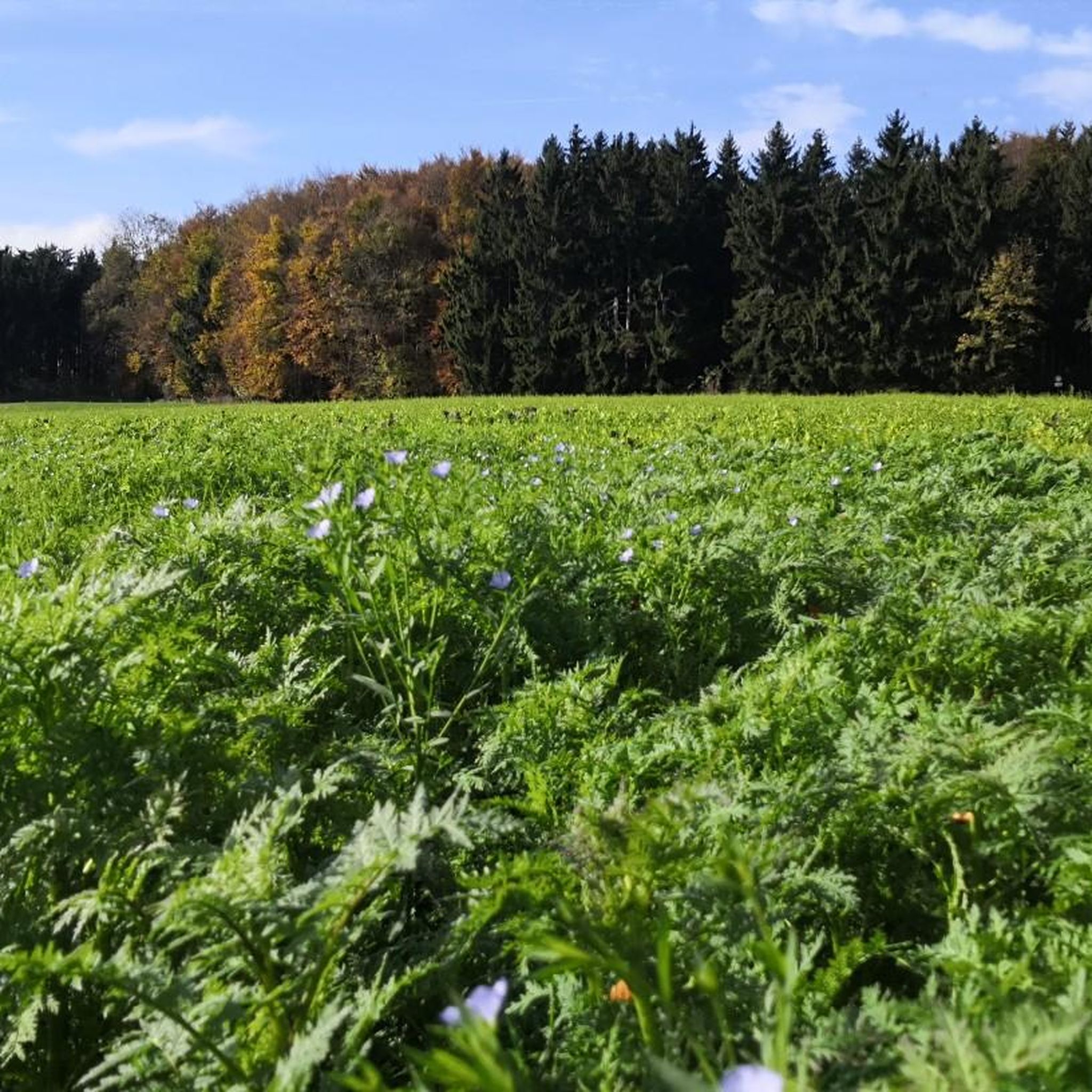
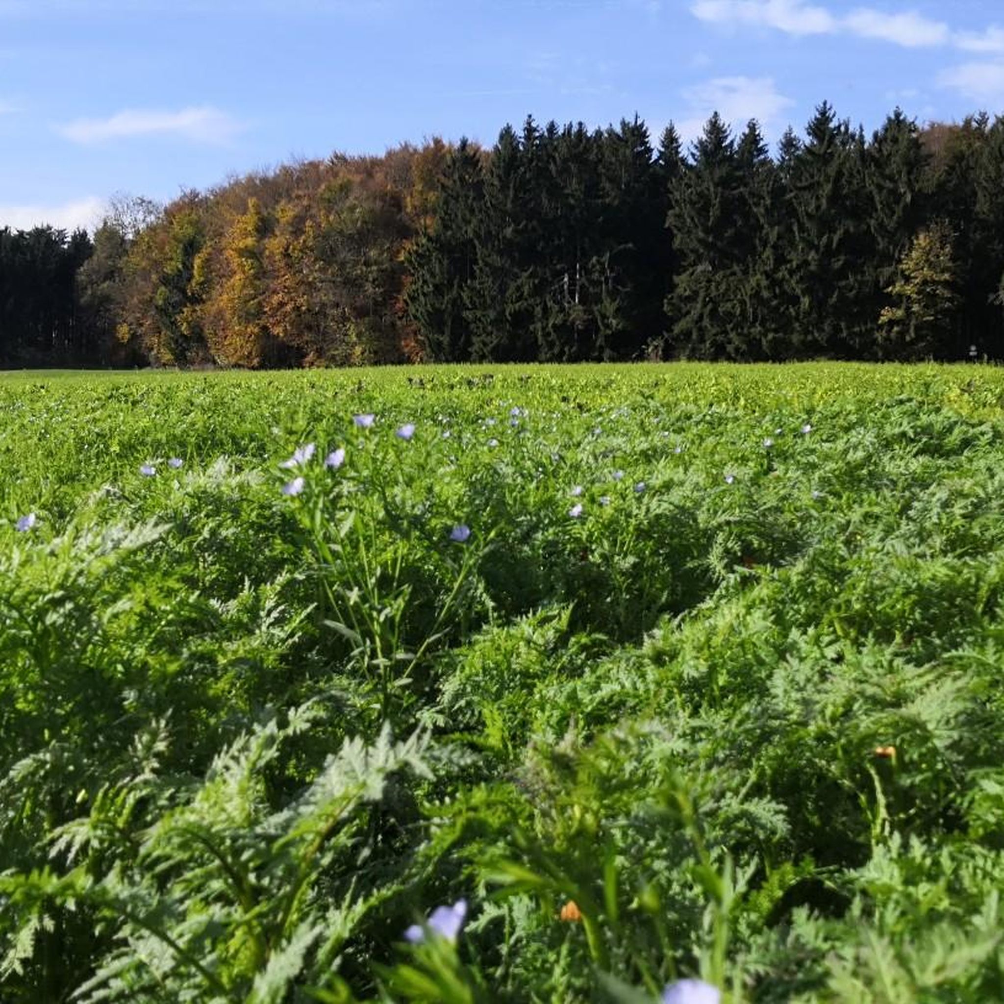
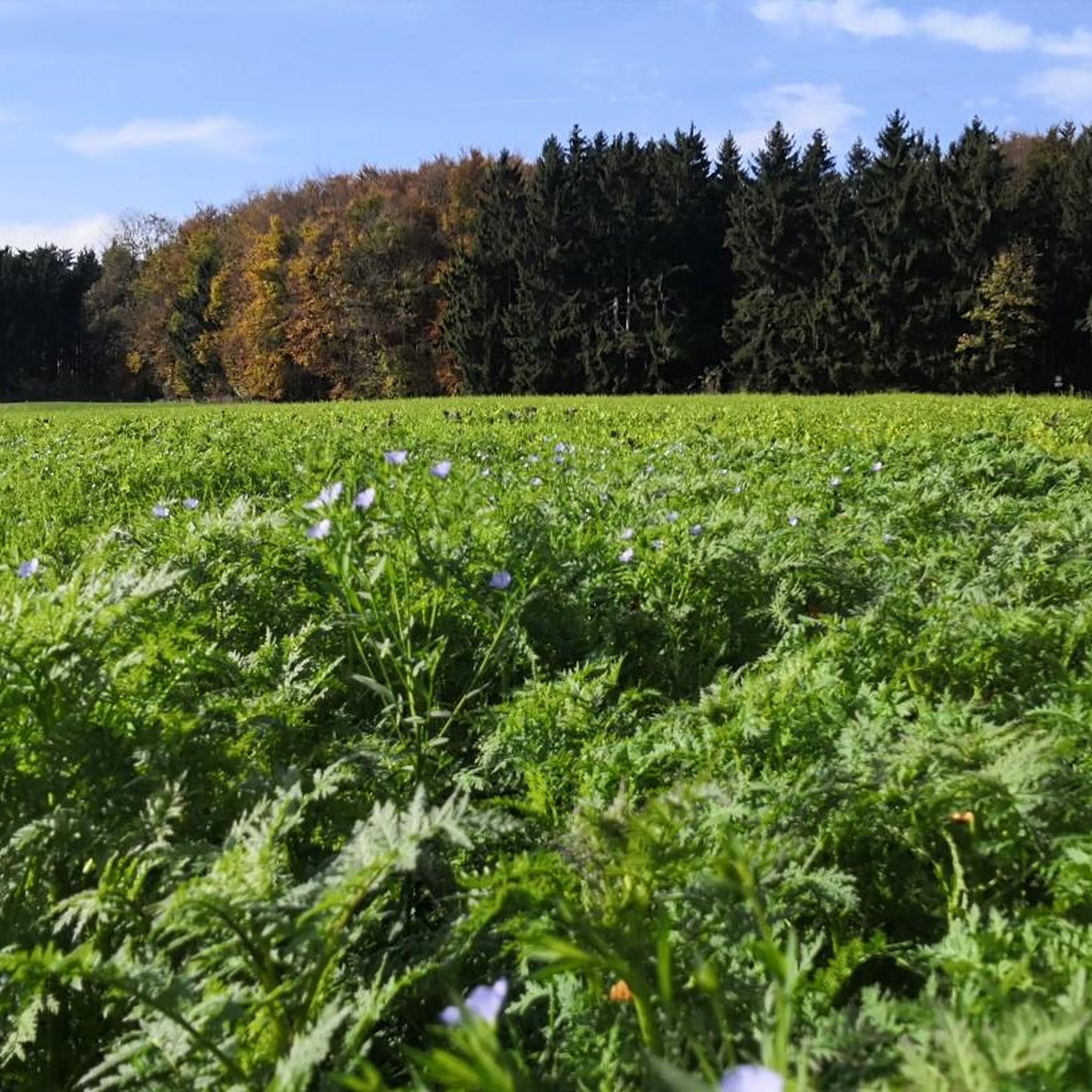
Road cycling around Böhmenkirch offers diverse terrain within the foothills of the Swabian Alb and the Brenz river valley. The landscape features green hills, dense forests, and gentle valleys, providing varied backdrops for rides. Cyclists will encounter a wide plateau adorned with junipers and meadows, alongside significant elevation gains from demanding climbs and rapid descents. The region is also characterized by the Albtrauf, a striking limestone ridge that adds to the dramatic scenery.
Best road cycling routes around Böhmenkirch
- The most popular road cycling route is Roadbike loop from Böhmenkirch, a 38.5 miles (61.9 km) trail that takes 2 hours 55 minutes to complete. This moderate route navigates through the varied local landscape.
- Another top favourite among local road cyclists is View of Weißenstein Castle – Donzdorf–Schnittlingen Climb loop from Böhmenkirch, a moderate 15.7 miles (25.2 km) path. This route includes a notable climb, offering views and a challenging ascent.
- Local road cyclists also love the Stubental Cycle Path – Talhof Café and Farm Shop loop from Böhmenkirch, a 27.2 miles (43.7 km) trail leading through valleys and past local points of interest, often completed in about 2 hours 17 minutes.
- Road cycling around Böhmenkirch is defined by green hills, dense forests, and the striking Albtrauf limestone ridge. The network offers options for different ability levels, from moderate loops to more difficult routes with significant elevation.
- The routes in Böhmenkirch are highly rated by the komoot community with an average score of 4.6 stars from over 7 reviews. More than 120 road cyclists have used komoot to explore Böhmenkirch's varied terrain.
Last updated: July 25, 2026
4.0
(5)
80
riders
46.3km
02:03
380m
380m
Moderate road ride. Good fitness required. Mostly well-paved surfaces and easy to ride.
5.0
(3)
41
riders
62.3km
02:56
720m
720m
Moderate road ride. Good fitness required. Mostly well-paved surfaces and easy to ride.

Sign up for free
41
riders
25.3km
01:18
370m
370m
Moderate road ride. Good fitness required. Mostly well-paved surfaces and easy to ride.
3.7
(3)
30
riders
47.5km
02:12
520m
520m
Moderate road ride. Good fitness required. Some segments of this route may be unpaved and difficult to ride.
23
riders
Moderate road ride. Good fitness required. Mostly well-paved surfaces and easy to ride.
Get access to more routes and recommendations from other explorers.
Sign up for free
Already have an account?
Our route recommendations are based on thousands of hikes, rides, and runs completed by other people on komoot.
Start today with a free account
Your next adventure awaits.
Login or Signup


Tips from the Community

Even though the path is too narrow and heavily used by cyclists and pedestrians, it is one of the best cycling connections in the area.
0
0

Great climb and scenery, simply fantastic, it's fun to cycle there 🌞😍😍🤩
0
0

Incredibly beautiful scenery. Easy to drive in both directions. An absolute highlight.
0
0

The economy is very good.
2
1


Traffic depending on the day and time a bit annoying & fast on the narrow road
0
0
looks like in the Allgäu, very nice to drive, well developed - unfortunately over too quickly
0
0

From the marked point down in the village you have a view of the castle, but the best view is from the bench on the climb up to the Lützelalb
3
0
Frequently Asked Questions
What is the general terrain like for road cycling around Böhmenkirch?
The region around Böhmenkirch offers a varied landscape, perfect for road cycling. You'll encounter green hills, dense forests, and gentle valleys, with a wide plateau adorned with junipers and meadows. The area is also characterized by the striking Albtrauf, a limestone ridge that adds dramatic scenery and significant elevation gains, including demanding climbs and rapid descents.
How many road cycling routes are available in Böhmenkirch?
There are over 10 road cycling routes around Böhmenkirch listed on komoot, catering to various skill levels. These include 7 moderate routes, 2 difficult routes, and 1 easy route, ensuring options for most cyclists.
Are there challenging road cycling routes for experienced cyclists?
Yes, Böhmenkirch offers several challenging routes for experienced road cyclists. For instance, the Aasrücken Climb from Ottenbach – View of Rechberg loop from Böhmenkirch is a difficult route with significant elevation gain, providing a demanding ride. The region's terrain, with its notable climbs and descents, is well-suited for those seeking a rigorous workout.
What are some scenic viewpoints or natural highlights along the road cycling routes?
Road cycling routes around Böhmenkirch are rich in scenic beauty. You can enjoy picturesque views from prominent viewing rocks like Tannhaldenstein and Christentalfelsen, overlooking the Filsalb and Ostalb mountains. The unique Wental Rock Sea, with its bizarre limestone formations, and the Brenztopf, the source of the Brenz river, are also significant natural highlights you might encounter.
Are there any easy or beginner-friendly road cycling routes in Böhmenkirch?
While many routes involve some elevation, there are options suitable for those with good basic fitness. The View of Weißenstein Castle – Donzdorf–Schnittlingen Climb loop from Böhmenkirch is a moderate route that offers a manageable challenge. The region also features some paved sections, like the Eseltal cycle path, which are ideal for a smoother ride.
What do other road cyclists enjoy most about road cycling in Böhmenkirch?
The road cycling routes in Böhmenkirch are highly rated by the komoot community, with an average score of 4.6 stars from over 7 reviews. Cyclists often praise the diverse terrain, from green hills to dense forests, and the striking Albtrauf limestone ridge. The variety of routes, catering to different ability levels, is also a frequently mentioned positive aspect.
Are there any circular road cycling routes available?
Yes, many road cycling routes around Böhmenkirch are designed as loops, allowing you to start and end at the same point. Examples include the popular Roadbike loop from Böhmenkirch, which navigates through the varied local landscape, and the Stubental Cycle Path – Talhof Café and Farm Shop loop from Böhmenkirch, leading through valleys and past local points of interest.
Can I find routes that include stops at cafes or local shops?
Yes, some routes are known to pass by local establishments. The Stubental Cycle Path – Talhof Café and Farm Shop loop from Böhmenkirch is an example of a route that includes a stop at a café and farm shop, offering a chance to refuel and enjoy local produce during your ride.
Are there any historical or cultural attractions to see while cycling?
Beyond natural beauty, you can encounter various points of interest. The Patrizkapelle, a chapel built in 1733, offers historical charm amidst scenic views. You might also pass historical sites like the Old hammer mill at the Brenztopf or remnants of castles such as Burg Ravenstein, adding a cultural dimension to your ride.
What is the best time of year for road cycling in Böhmenkirch?
The region is generally excellent for outdoor activities, particularly road cycling, during the warmer months. Spring through autumn offers pleasant temperatures and vibrant scenery. However, the varied terrain and dense forests can provide shaded sections, making it enjoyable even on sunnier days.
Are there any routes that feature waterfalls or unique water features?
Yes, the area around Böhmenkirch is home to several beautiful water features. While cycling, you might be able to visit highlights such as the Teufelsklinge Waterfall or the Lauter Waterfalls at Lappertal-Strässchen. The Sinter Terraces of the Rötelbach also offer unique natural formations.
Is there a long-distance cycling route that passes through the Böhmenkirch area?
Yes, the larger Swabian Alb Cycle Route (Alb-Crossing) traverses the region. This scenic trail, primarily on tarmac with some gravel sections, spans approximately 368 to 417 kilometers and presents a significant challenge with around 7,000 meters of elevation gain, combining sporting endeavor with cultural experiences.
Most popular routes around Böhmenkirch
Most popular attractions around Böhmenkirch

Get inspired with the komoot mobile app


Explore more
Browse the best Road cycling routes in other regions.
