The best running trails around Calmels-Et-Le-Viala
4.0
(18)
950
runners
57
runs
Jogging around Calmels-Et-Le-Viala offers routes through the Aveyron department of Occitanie. The region is characterized by its striking red-tinged lands, known as the "Rougier," alongside wooded hills and fertile valleys. The Dourdou river carves its course through this landscape, creating fertile alluvial plains and offering varied terrain for running.
Best jogging routes around Calmels-Et-Le-Viala
- The most popular jogging route is Vaxergues Tunnel – Visigothic Tombs loop from Vabres-l'Abbaye, a 10.4 miles (16.7 km) trail that takes 2 hours 17…
Last updated: October 2, 2026
5.0
(2)
34
runners
16.7km
02:18
630m
630m
Hard run. Very good fitness required. Mostly paved surfaces. Suitable for all skill levels.
33
runners
10.4km
01:06
60m
60m
Moderate run. Good fitness required. Mostly paved surfaces. Suitable for all skill levels.

22
runners
10.5km
01:25
350m
350m
Hard run. Very good fitness required. Mostly paved surfaces. Suitable for all skill levels.
3.0
(1)
9
runners
Hard run. Very good fitness required. Mostly paved surfaces. Suitable for all skill levels.
9
runners
16.2km
01:57
330m
330m
Hard run. Very good fitness required. Mostly paved surfaces. Suitable for all skill levels.
Get access to more routes and recommendations from other explorers.
Already have an account?
Our route recommendations are based on thousands of hikes, rides, and runs completed by other people on komoot.
Start today with a free account
Your next adventure awaits.


Tips from the Community

Former fortified residence of the bishops of Vabres, the castle of Saint-Izaire bears witness to the religious and political role that the village played for several centuries. Its towers and ramparts tell of a time when bishops were also lords capable of defending their lands.
2
0

Great route. No surprises. Long time along the Sorgues. Passage on a cycle path along the road. Narrow tunnel but not very busy. Very nice!
1
0

Group of tombs dating from the High Middle Ages (5th and 6th centuries) located to the west of the plateau overlooking Vabres l'Abbaye (village itself important since 863 and the foundation of a Benedictine monastery).
0
0

Imposing mass of red sandstone which reminds us of the proximity of the Rougiers de Camarès. It can be visited and is classified as a Historic Monument. A small path, just behind the castle, leads to the valley between the Gos and the Dourdou, with its many red earth paths.
1
0
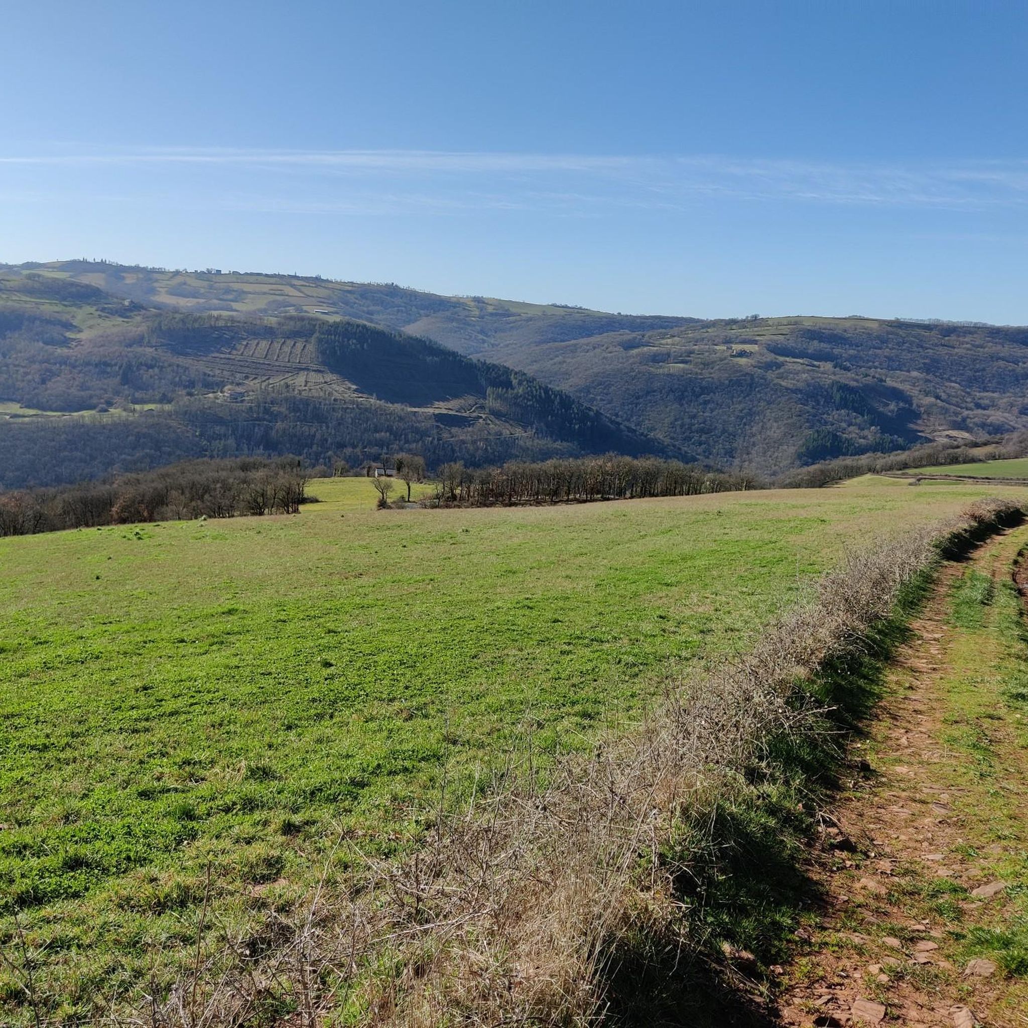
Small trail in red earth, in the heights of Saint-Izaire and reminiscent of the Rougiers de Camarès, which are not very far.
1
0
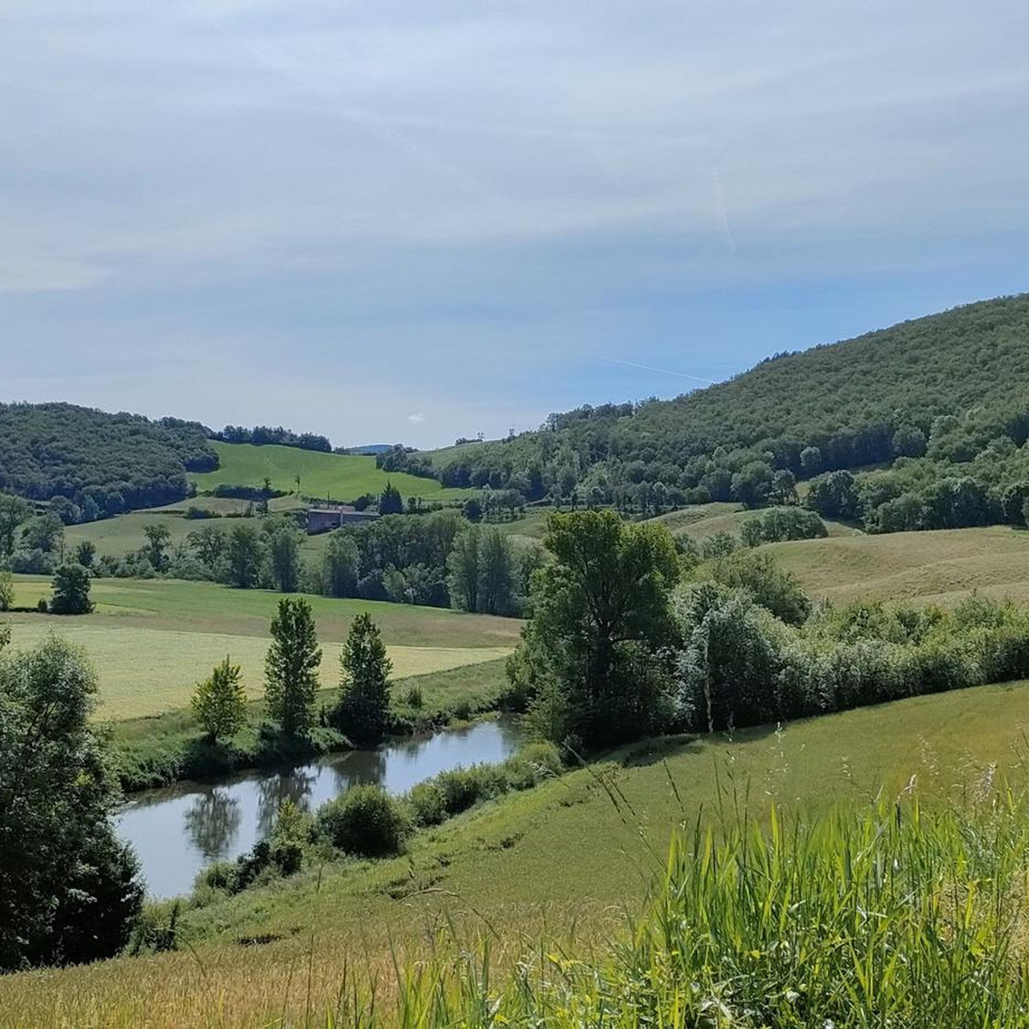
View under the arcaded bridge, at the confluence of the Tarn and the Dourdou, on the Saint-Affricain greenway which avoids the departmental road.
1
0
Frequently Asked Questions
How many running routes are available around Calmels-Et-Le-Viala?
There are over 50 dedicated running routes around Calmels-Et-Le-Viala, catering to various fitness levels. These include 1 easy route, 30 moderate routes, and 26 difficult routes, ensuring a diverse range of options for your run.
What kind of terrain can I expect on the jogging trails in Calmels-Et-Le-Viala?
The region offers a diverse terrain, from the striking red-tinged lands of the "Rougier" to wooded hills and fertile valleys. You'll find routes along the Dourdou river and paths within the expansive Parc naturel régional des Grands Causses, providing varied surfaces and scenic beauty.
Are there any family-friendly running paths in Calmels-Et-Le-Viala?
While most routes are moderate to difficult, there is at least one easy running path available. For families, consider the gentler 7.6 km loop, "Boucle « Sur les chemins des femmes de la terre »," mentioned in regional research, which allows for a discovery of the local landscape and its historical context.
What do other runners enjoy most about jogging in Calmels-Et-Le-Viala?
The running routes in Calmels-Et-Le-Viala are highly rated by the komoot community, with an average score of 4.0 stars from over 8 reviews. Runners often praise the varied terrain, the distinctive red landscapes of the Rougier, and the opportunity to explore historical elements along the way.
Are there any circular running routes available?
Yes, many of the routes are circular. For example, the Vaxergues Tunnel loop from Camaras is a moderate 14.1 km trail that takes you through the distinctive Rougier landscape. Another option is the challenging Vaxergues Tunnel – Visigothic Tombs loop from Vabres-l'Abbaye, covering 16.7 km.
Can I combine my run with sightseeing or visiting historical landmarks?
Absolutely! The region is rich in history. You can encounter the 12th-century chapel of Calmels by the Dourdou or the gothic Château de Calmels. For a run that includes historical elements, consider the Sarcophages de Peret – Pressoir médiéval de Savignac loop from Vabres-l'Abbaye. You can also explore nearby attractions like Brousse-le-Château or the Verdalle Bridge.
What are some challenging running routes for experienced runners?
For experienced runners seeking a challenge, the area offers several difficult routes. The Descent to Vabres loop from Vabres-l'Abbaye is a difficult 10.4 km path with significant elevation changes. Another demanding option is the Sentier des rougiers – Bridge over the Tarn loop from Saint-Izaire, spanning 16.2 km.
Are there any specific natural features or viewpoints to look out for on the trails?
Yes, the region is known for its striking red-tinged lands, the "Rougier," which are particularly vibrant at sunset. The Dourdou river also offers tranquil routes along its banks. For panoramic views, you might find interesting spots like the Roc Saint-Jean lookout in the wider area.
What is the best time of year to go running in Calmels-Et-Le-Viala?
The Aveyron department generally offers pleasant conditions for outdoor activities. Spring and autumn are often ideal, with milder temperatures and beautiful scenery. Summer can be warm, especially in the red-tinged Rougier, so early morning or late afternoon runs are recommended. Winter runs are possible, but check local weather conditions.
Is there public transport access to the trailheads around Calmels-Et-Le-Viala?
While specific public transport details for individual trailheads are not readily available, Calmels-Et-Le-Viala is situated within the Aveyron department. It's advisable to check local bus schedules or regional transport options if you plan to rely on public transport to reach specific starting points for your runs.
Are there any nearby villages worth exploring during a longer running excursion?
Yes, the region is close to some of France's "most beautiful villages." For instance, Brousse-le-Château and Peyre are nearby, offering charming scenery and additional points of interest that could be incorporated into a longer run or visited post-run.
Most popular routes around Calmels-Et-Le-Viala
Most popular attractions around Calmels-Et-Le-Viala

Get inspired with the komoot mobile app


Explore more
Browse the best Running Trails & Routes in other regions.
