The best running trails around Cabrières-D'Aigues
4.7
(9)
762
runners
25
runs
Jogging around Cabrières-D'Aigues offers diverse terrain within the Luberon Regional Natural Park, characterized by vineyards, olive groves, and wooded hillsides. The region features the prominent Mourre Nègre, the highest point of the Luberon range, providing challenging climbs and expansive views. Runners can also explore the tranquil, shaded trails of the Forêt des Cèdres or enjoy flatter routes around the Étang de la Bonde. This varied landscape provides a range of running experiences from gentle paths to demanding ascents.
Best jogging…
Last updated: October 30, 2026
4.5
(2)
14
runners
Moderate run. Good fitness required. Mostly paved surfaces.
4.7
(3)
168
runners
16.8km
02:27
780m
780m
Hard run. Very good fitness required. Sure-footedness, sturdy shoes and alpine experience required.

58
runners
30.1km
04:40
1,620m
1,620m
Hard run. Very good fitness required. Sure-footedness, sturdy shoes and alpine experience required.
72
runners
12.7km
01:56
710m
710m
Hard run. Very good fitness required. Sure-footedness, sturdy shoes and alpine experience required.
21
runners
23.0km
03:06
900m
900m
Hard run. Very good fitness required. Mostly paved surfaces.
Get access to more routes and recommendations from other explorers.
Already have an account?
Our route recommendations are based on thousands of hikes, rides, and runs completed by other people on komoot.
Start today with a free account
Your next adventure awaits.
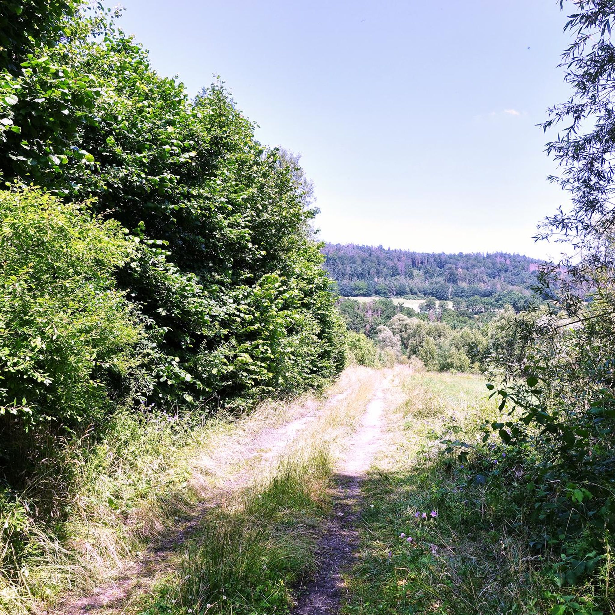
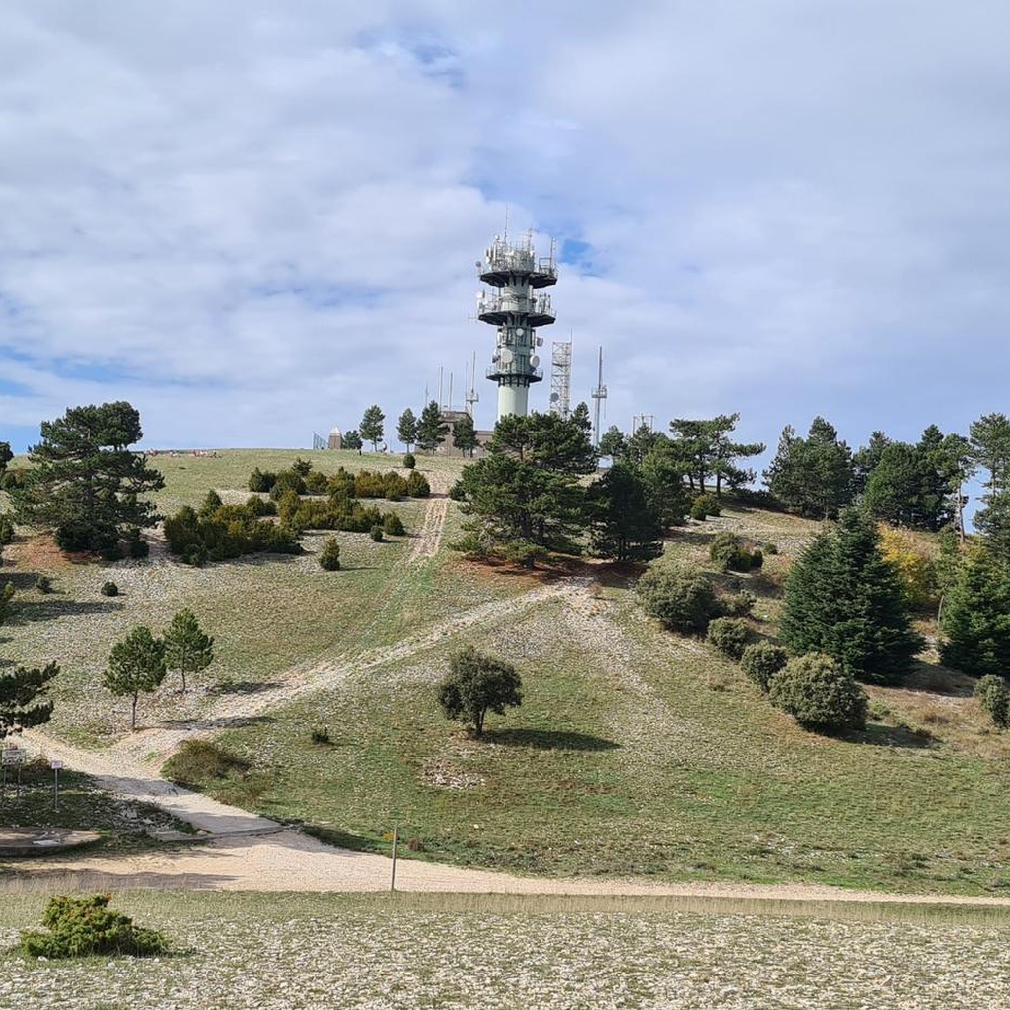
Other adventures around Cabrières-D'Aigues

Tips from the Community

very nice hike to do on trail also very nice
0
0

In winter, bring warm clothes and a raincoat because the weather can change quickly.
1
0


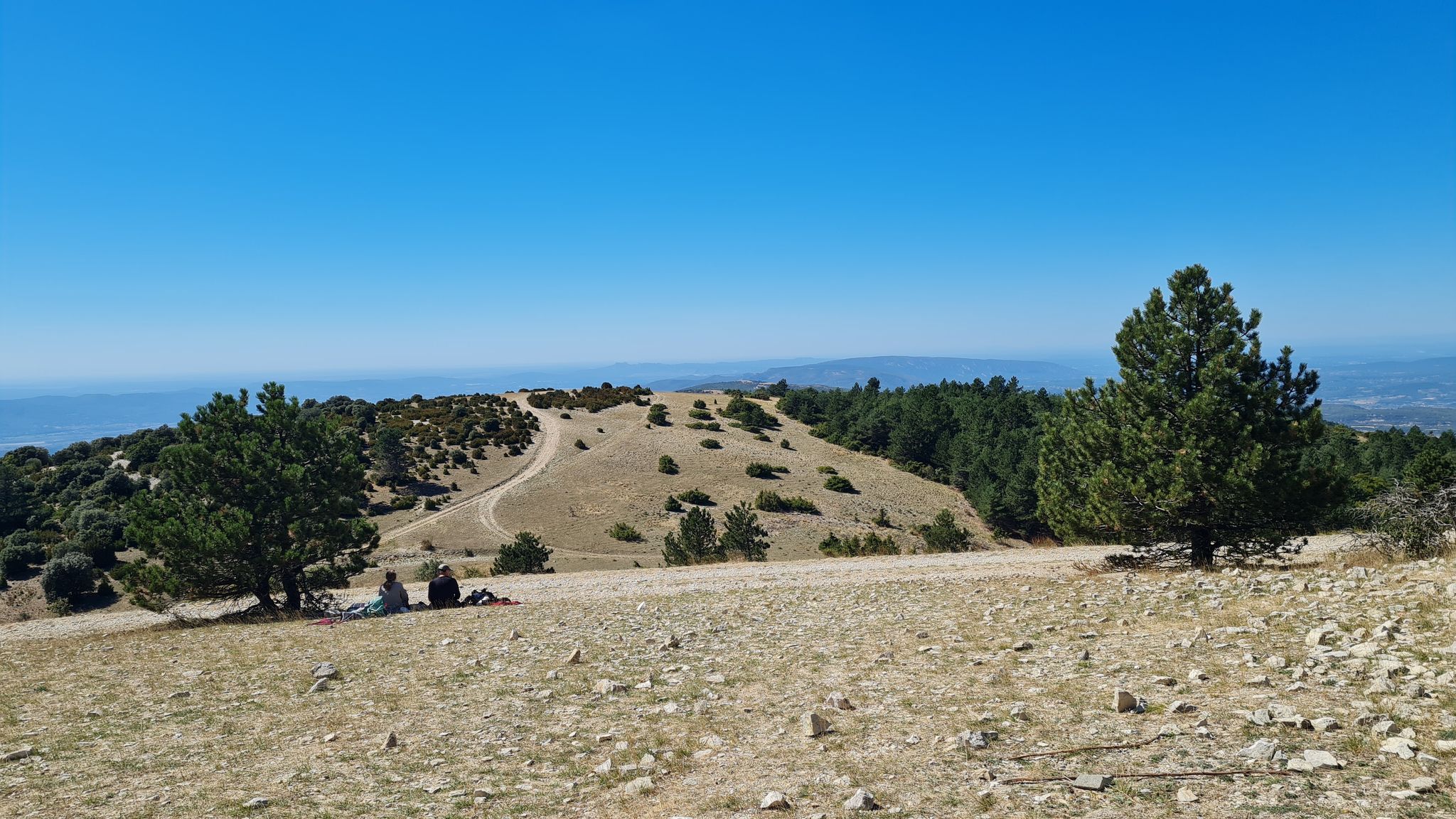
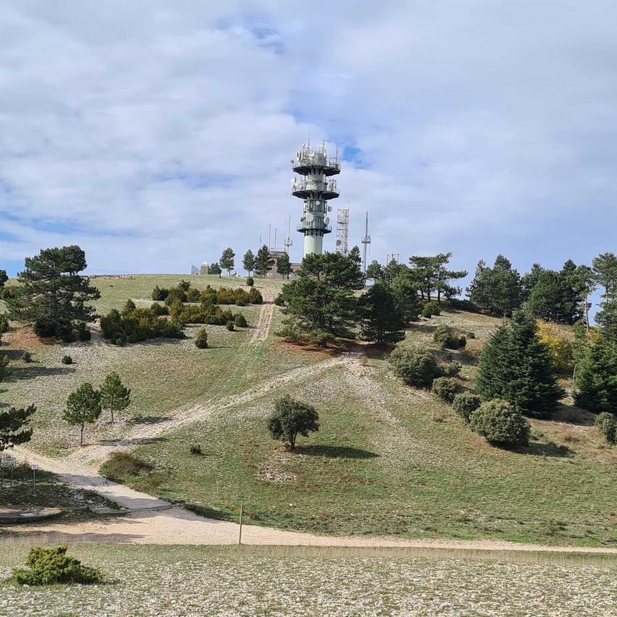
Highest point of the Luberon massif, rising to 1125 meters above sea level. The view is magnificent: from the Berre pond to the Southern Alps.
0
0

impressive ridge path with great panoramic views.
0
0

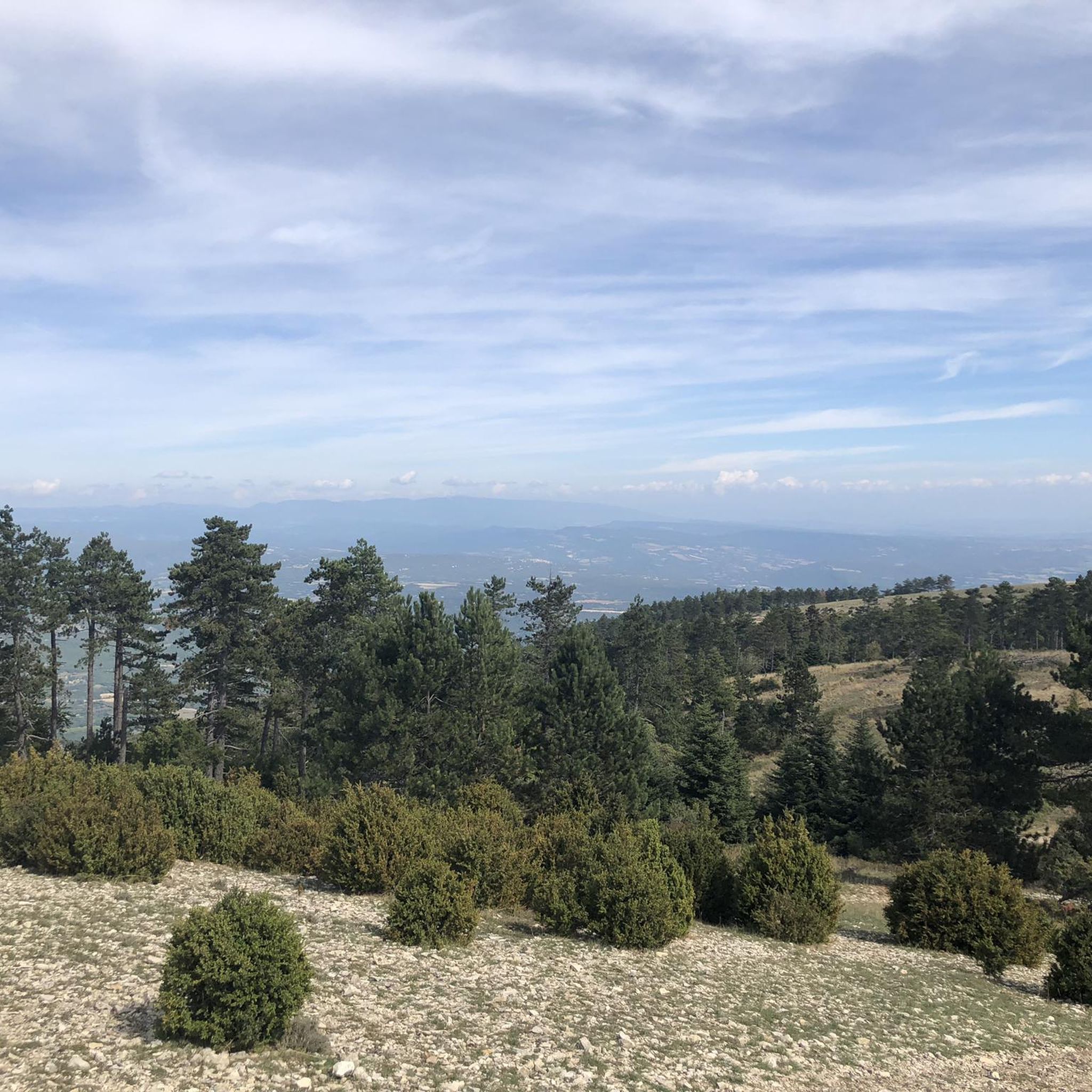
As if in another world, you drive through the sparse vegetation of the rocky mountain ridge near the Mourre Nègre mountain peak. The distant views over Provence are beautiful. Depending on the time of year, you can see the blooming red poppy fields or the bright purple fields of lavender in the distance.
0
0

The ridges of Mourre Nègre offer a 360-degree view of Mont Ventoux as well as the Lubéron. It is the highest point of the massif at 1,125 meters above sea level.
1
0
Frequently Asked Questions
How many running routes are available around Cabrières-d'Aigues?
There are over 20 running routes around Cabrières-d'Aigues, offering a wide range of experiences from easy loops to challenging mountain ascents within the Luberon Regional Natural Park.
What kind of terrain can I expect on the jogging trails in Cabrières-d'Aigues?
The terrain varies significantly, from tranquil, shaded paths through the Forêt des Cèdres and flatter routes around the Étang de la Bonde, to challenging climbs up Mourre Nègre. You'll encounter vineyards, olive groves, and wooded hillsides, providing diverse running surfaces.
Are there any easy or beginner-friendly running routes in the area?
Yes, while many routes offer a challenge, there are options suitable for beginners. For a moderate and scenic run, consider the Etang de la Bonde et Cabrières-d'Aigues - running loop in the Parc naturel régional du Luberon. This 9 km route circles the Étang de la Bonde, offering shaded banks and pleasant views.
What are some scenic viewpoints or natural features to look out for on the running trails?
The region is rich in natural beauty. Trails leading to Mourre Nègre, the highest peak of the Luberon, offer breathtaking 360-degree panoramic views. The Forêt des Cèdres provides majestic cedar trees and spectacular vistas. You can also enjoy the tranquil waters of the Étang de la Bonde. The broader Luberon Regional Natural Park itself boasts diverse landscapes, including the Calavon and Durance valleys.
Are there any circular running routes available?
Absolutely. Many routes in Cabrières-d'Aigues are designed as loops, allowing you to start and finish in the same location. An example of a challenging circular route is the Le Mourre Nègre loop from Cabrières-d'Aigues, which offers significant elevation gain and panoramic views.
What do other runners enjoy most about jogging in Cabrières-d'Aigues?
The area is highly rated by the komoot community, with an average score of 4.8 stars. Reviewers often praise the diverse and well-preserved natural landscapes, the variety of routes from gentle paths to demanding ascents, and the stunning panoramic views, especially from higher elevations like Mourre Nègre.
Are the running trails in Cabrières-d'Aigues suitable for families?
While some routes are challenging, there are options suitable for families looking for a more leisurely run or walk. The flatter, shaded paths around the Étang de la Bonde are generally more family-friendly. Always check the route's difficulty and length before heading out with children.
Can I bring my dog on the running trails?
The Luberon Regional Natural Park, where Cabrières-d'Aigues is located, generally welcomes dogs, but they must be kept on a leash to protect wildlife and ensure the safety of other trail users. Always check specific trail regulations, especially in protected areas, to ensure a pleasant experience for everyone.
Where can I find parking for the running routes?
Many trails originate directly from the village center of Cabrières-d'Aigues, where parking options are typically available. For routes leading to specific natural features like the Étang de la Bonde or the Forêt des Cèdres, designated parking areas are often provided nearby. It's advisable to check the starting point of your chosen route for specific parking information.
What is the best time of year to go running in Cabrières-d'Aigues?
The region is beautiful year-round, but spring and autumn offer particularly pleasant conditions with milder temperatures and vibrant scenery. Summer can be hot, so early morning or late afternoon runs are recommended, especially on shaded trails like those in the Forêt des Cèdres or around the Étang de la Bonde. Winter runs are also possible, though some higher elevation trails might be cooler.
Are there any longer, more challenging running routes for experienced trail runners?
Yes, Cabrières-d'Aigues is renowned for trail running, hosting events like the 'Trail du Grand Luberon'. For experienced runners, routes like the Combre Hill loop from Cabrières-d'Aigues offer a significant challenge, covering over 30 km with substantial elevation gain. Another demanding option is the Mourre Nègre Summit – Le Mourre Nègre loop from Cabrières-d'Aigues, which includes a challenging ascent to the peak.
Are there any running routes that pass by the Étang de la Bonde?
Yes, the Étang de la Bonde is a popular spot for runners. The Etang de la Bonde et Cabrières-d'Aigues - running loop is a moderate 9 km route that circles the lake, offering shaded banks and opportunities for a refreshing run.
Most popular routes around Cabrières-D'Aigues
Most popular attractions around Cabrières-D'Aigues

Get inspired with the komoot mobile app


Explore more
Browse the best Running Trails & Routes in other regions.
