The best walks and hikes around Prunières
4.5
(2712)
17,734
hikers
13
hikes
Hiking around Prunières offers diverse landscapes in the Hautes-Alpes region of France. The area is situated on the southern slopes of Serre-Ponçon and borders the Écrins National Park. This location provides access to varied terrain, including the expansive Lake Serre-Ponçon, dense larch forests, and high-altitude mountain pastures. The region features significant peaks and limestone formations, offering a range of hiking experiences.
Best hiking trails around Prunières
- The most popular hiking route is View of Lake Serre-Ponçon – Magnificent view of…
Last updated: October 2, 2026
3.7
(3)
18
hikers
9.79km
02:50
260m
260m
Moderate hike. Good fitness required. Easily-accessible paths. Suitable for all skill levels.
3.8
(6)
49
hikers
Moderate hike. Good fitness required. Easily-accessible paths. Suitable for all skill levels.

3.5
(2)
18
hikers
11.7km
03:57
540m
540m
Moderate hike. Good fitness required. Mostly accessible paths. Sure-footedness required.
4.0
(1)
15
hikers
6.52km
01:55
190m
190m
Easy hike. Great for any fitness level. Easily-accessible paths. Suitable for all skill levels.
18
hikers
6.68km
01:52
130m
130m
Easy hike. Great for any fitness level. Easily-accessible paths. Suitable for all skill levels.
Get access to more routes and recommendations from other explorers.
Already have an account?
Our route recommendations are based on thousands of hikes, rides, and runs completed by other people on komoot.
Start today with a free account
Your next adventure awaits.

Tips from the Community

Does anyone know if dogs are allowed?
0
0


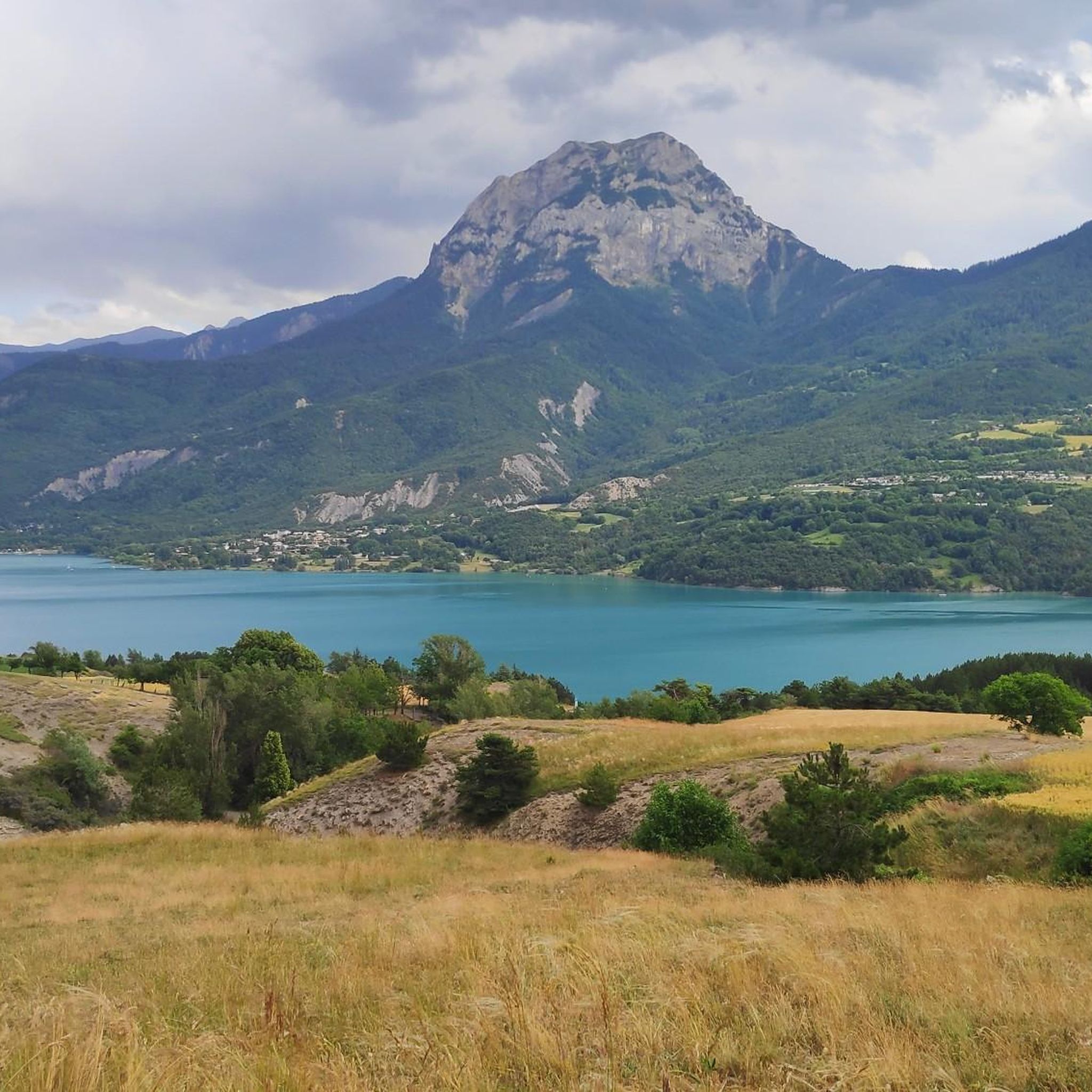
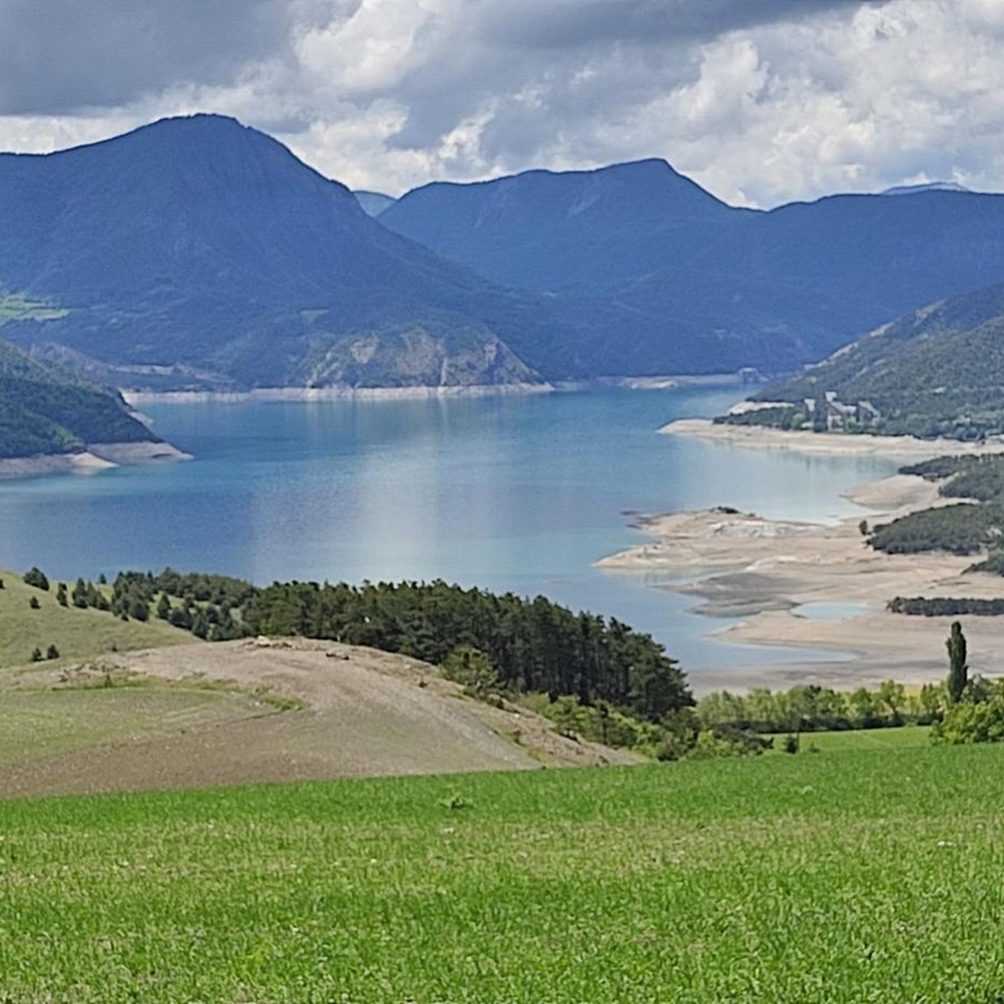
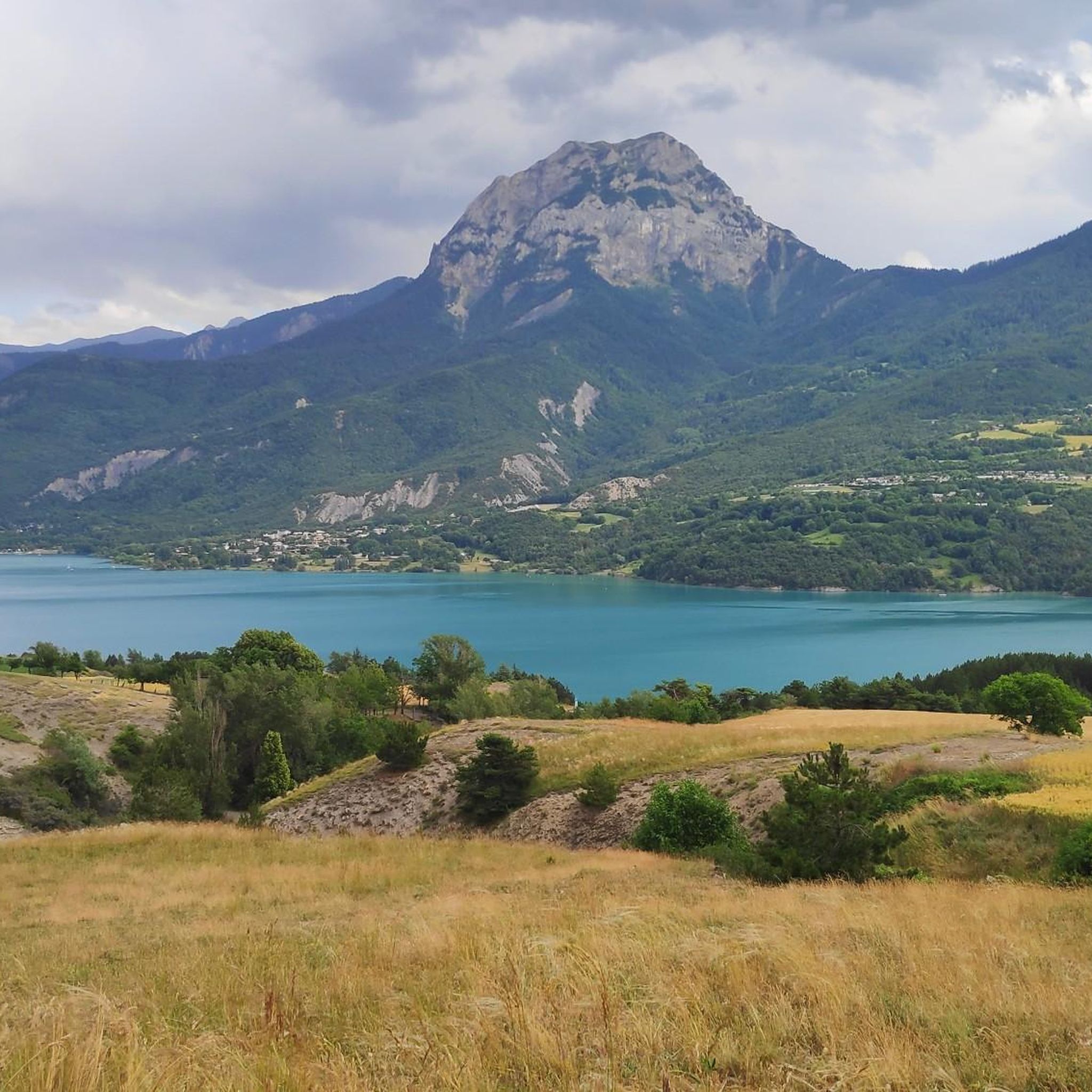
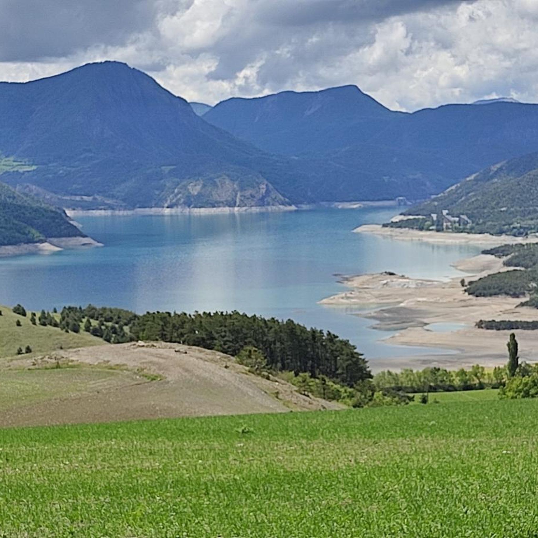
This is where you will have a breathtaking view of the Serre Ponçon lake. By going to this viewpoint, you will be able to admire the turquoise waters of the lake, surrounded by the rugged peaks of the French Alps. The area offers peaceful hiking trails and is a great place to take a break and admire the natural beauty of this large artificial lake, which reflects the surrounding mountains.
0
1

Magnificent view of Lake Serre-Ponçon and its mountains from a superb path in the shade of the Aiguilles de Chabrières.
0
0

Look behind you - there's fantastic scenery all around!
0
0
Frequently Asked Questions
How many hiking trails are available around Prunières?
There are over 15 hiking trails around Prunières, offering a variety of experiences. These include 7 easy routes and 8 moderate routes, ensuring options for different fitness levels.
Are there any family-friendly hikes in Prunières?
Yes, Prunières offers easily accessible paths and routes designed for families. The region is known for its "Sens'Action Trails," which transform walks into interactive treasure hunts, adding a fun and sensory dimension to exploration. Additionally, Lac de Saint-Apollinaire (Lac de Saint-Apollinaire) is a charming small mountain lake perfect for family enjoyment, with swimming permitted and shaded areas.
What kind of landscapes can I expect to see while hiking near Prunières?
Hiking near Prunières offers a rich tapestry of landscapes. You'll find dense larch forests, Mediterranean-accented steppes, high-altitude mountain lakes, and stunning views of the expansive Lake Serre-Ponçon. The area also borders the Écrins National Park, providing access to majestic peaks and mountain pastures.
Are there any circular walks around Prunières?
Yes, many trails around Prunières are circular, providing continuous scenic vistas. For example, the Lake Serre-Ponçon – Magnificent view of the lake loop from Prunières is a moderate 7.9-mile (12.7 km) loop that starts directly from Prunières and offers extensive views of the lake and surrounding mountains.
What are some notable natural landmarks or attractions to see on a hike?
The region boasts several impressive natural landmarks. The dramatic Chabrières Needles (Chabrières Needles) rise above 2000 meters, offering challenging hikes with panoramic views. You can also visit Lac de Saint-Apollinaire (Lac de Saint-Apollinaire), a beautiful mountain lake, or explore the unique geological formations known as the Demoiselles Coiffées (Demoiselles Coiffées).
What do other hikers enjoy most about hiking in Prunières?
The hiking experience in Prunières is highly rated by the komoot community, with an average score of 4.5 stars from over 2,200 reviews. Hikers often praise the magnificent views of Lake Serre-Ponçon, the varied terrain, and the well-maintained paths that cater to different ability levels.
Are there any hikes that offer particularly good views of Lake Serre-Ponçon?
Absolutely. Many trails are designed to showcase the stunning Lake Serre-Ponçon. The View of Lake Serre-Ponçon – Magnificent view of the lake loop from Baie Saint-Michel is a popular moderate route that offers continuous scenic vistas of the lake. Another excellent option is the View of Lac de Serre-Ponçon loop from La BDPirates.
Are there any challenging mountain peaks to hike near Prunières?
For those seeking a challenge, the region offers access to significant mountain peaks. Morgon Peak (Morgon Peak) provides an ascent through magnificent mountain pastures where ibexes or marmots can be spotted, though its upper sections are technically demanding. The Chabrières Needles (Chabrières Needles) also offer challenging routes with rewarding panoramic views.
Can I find trails that go through forests or mountain pastures?
Yes, the diverse terrain around Prunières includes trails that wind through dense larch forests and expansive mountain pastures. These areas are particularly beautiful, offering opportunities to spot local wildlife such as marmots, ibex, chamois, and eagles, especially when venturing towards the Écrins National Park.
Are there any historical routes or paths in the area?
Yes, the region is home to historic routes. The GR® 653D, also known as the "Via Domitia," is a pilgrim walk that has connected Arles and Vercelli since Roman times, and it passes through the Hautes-Alpes region, offering a glimpse into ancient pathways.
What is the best time of year to go hiking in Prunières?
Prunières offers hiking opportunities throughout much of the year. The "balcony" paths provide continuous scenic vistas of Lake Serre-Ponçon and the surrounding mountains in various seasons. While summer is popular, spring and autumn offer pleasant temperatures and vibrant landscapes, and some trails may be suitable for winter hikes, especially at lower elevations.
Are there any hikes that offer views of unique features like Turtle Island?
Yes, you can find trails that provide views of unique features on Lake Serre-Ponçon. The View of Turtle Island – Magnificent view of the lake loop from Pontis is a 10.4-mile (16.7 km) trail that leads through varied terrain with specific views of Lake Serre-Ponçon, including glimpses of Turtle Island.
Most popular routes around Prunières
Most popular attractions around Prunières

Get inspired with the komoot mobile app


Explore more
Browse the best Hikes in other regions.
