The best road cycling routes around La Verpillière
4.3
(116)
1,956
riders
48
rides
Road cycling around La Verpillière, located in the Isère department, offers a network of routes suitable for various skill levels. The terrain features accessible routes that incorporate local historical sites and greenways, providing car-free paths for scenic rides. The area presents a mix of flat sections and gentle hills, with some routes reaching elevations over 200 meters. Planned greenways and natural features like ponds and canals enhance the cycling experience in the region.
Best road cycling routes around La Verpillière
…Last updated: May 24, 2026
5.0
(1)
18
riders
29.8km
01:20
250m
250m
Easy road ride. Great for any fitness level. Mostly well-paved surfaces and easy to ride.
3.0
(2)
13
riders
54.9km
02:43
690m
690m
Moderate road ride. Good fitness required. Mostly well-paved surfaces and easy to ride.

Sign up for free
5.0
(2)
11
riders
43.0km
01:59
430m
430m
Moderate road ride. Good fitness required. Mostly well-paved surfaces and easy to ride.
12
riders
71.2km
03:03
530m
530m
Moderate road ride. Good fitness required. Mostly well-paved surfaces and easy to ride.
10
riders
55.0km
02:36
510m
510m
Moderate road ride. Good fitness required. Mostly well-paved surfaces and easy to ride.
Get access to more routes and recommendations from other explorers.
Sign up for free
Already have an account?
Our route recommendations are based on thousands of hikes, rides, and runs completed by other people on komoot.
Start today with a free account
Your next adventure awaits.
Login or Signup

Tips from the Community

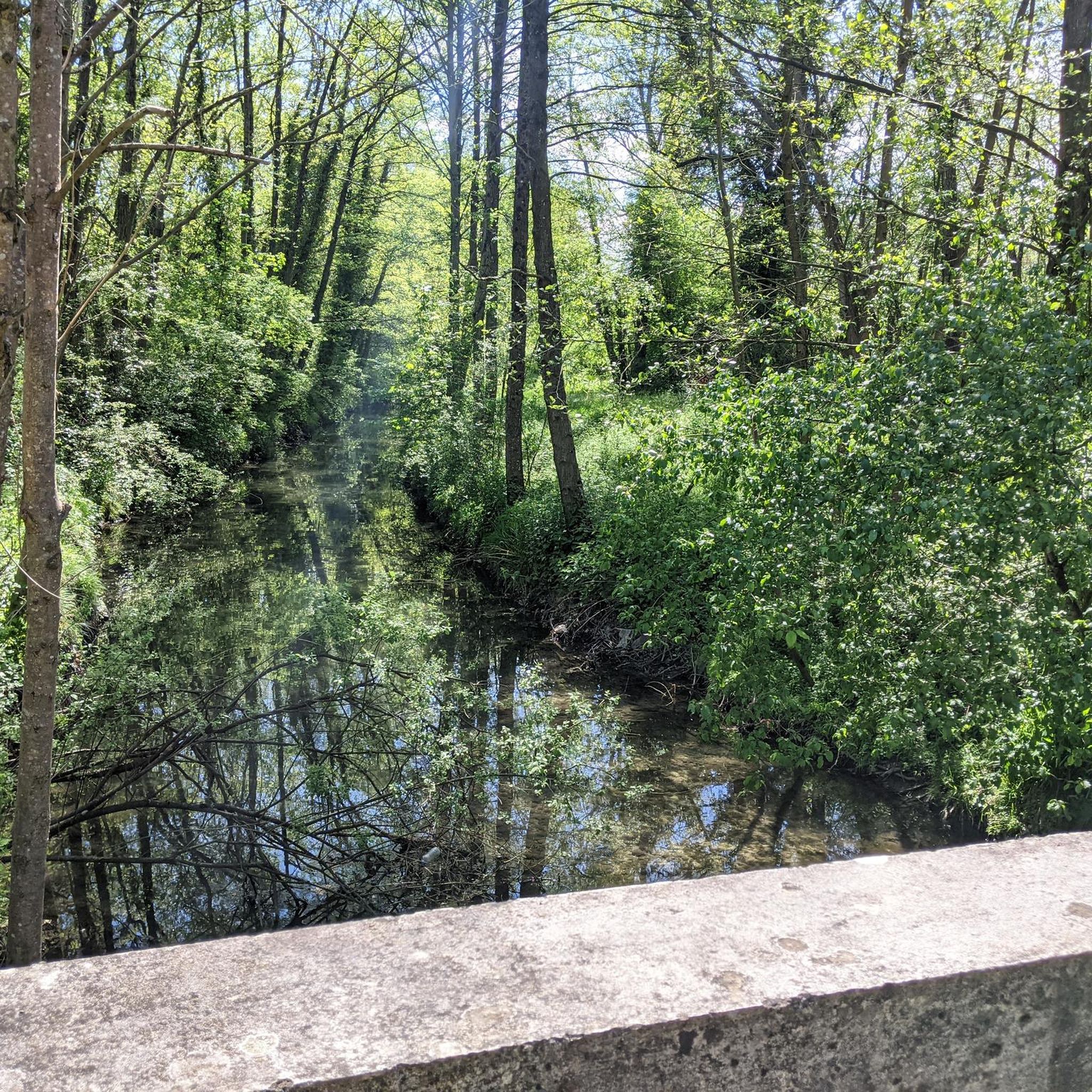
Beautiful city views from the bridge. The place is worth seeing.
0
0
beautiful place with some good restaurants and nice spots.
0
0


I really like this pass, I have done it several times, it is not slow but effective, especially on a certain side where there is a firecracker xD
0
0

Located between Meyrieux-les-étangs and Saint-Jean de Bournay in the northwest of the Isère department, the Etang de Montjoux is located at an altitude of 400m and covers an area of 14 hectares. Source: Isère Tourism
1
0

Thick mist, mysterious atmosphere in the absence of a view on this February afternoon.
0
0
Road with good surface, little traffic.
0
0
The Villette route is the alternative to the Fontagnière climb to reach the Col de Bel Air from Marennes: longer, and therefore less salty...
0
0
Frequently Asked Questions
What kind of terrain can I expect when road cycling around La Verpillière?
The terrain around La Verpillière primarily features accessible routes with a mix of flat sections and gentle hills. While significant mountainous features are not prominent directly within the town, some routes do include climbs, with elevations reaching over 200 meters on certain paths. The area is also characterized by greenways and routes passing by local ponds.
How many road cycling routes are available in the La Verpillière area?
There are over 50 road cycling routes available around La Verpillière on komoot, catering to various skill levels. This includes 4 easy routes, 44 moderate routes, and 9 more challenging options.
Are there any easy road cycling routes suitable for beginners or families?
Yes, La Verpillière offers several easy road cycling routes. A great option is the Les trois bosses – Bonnefamille ponds loop from La Verpillière, an 18.5-mile (29.7 km) path featuring gentle climbs and scenic views of the Bonnefamille ponds. The region's developing greenway infrastructure also contributes to more accessible cycling experiences.
What are some notable landmarks or points of interest I can see while cycling?
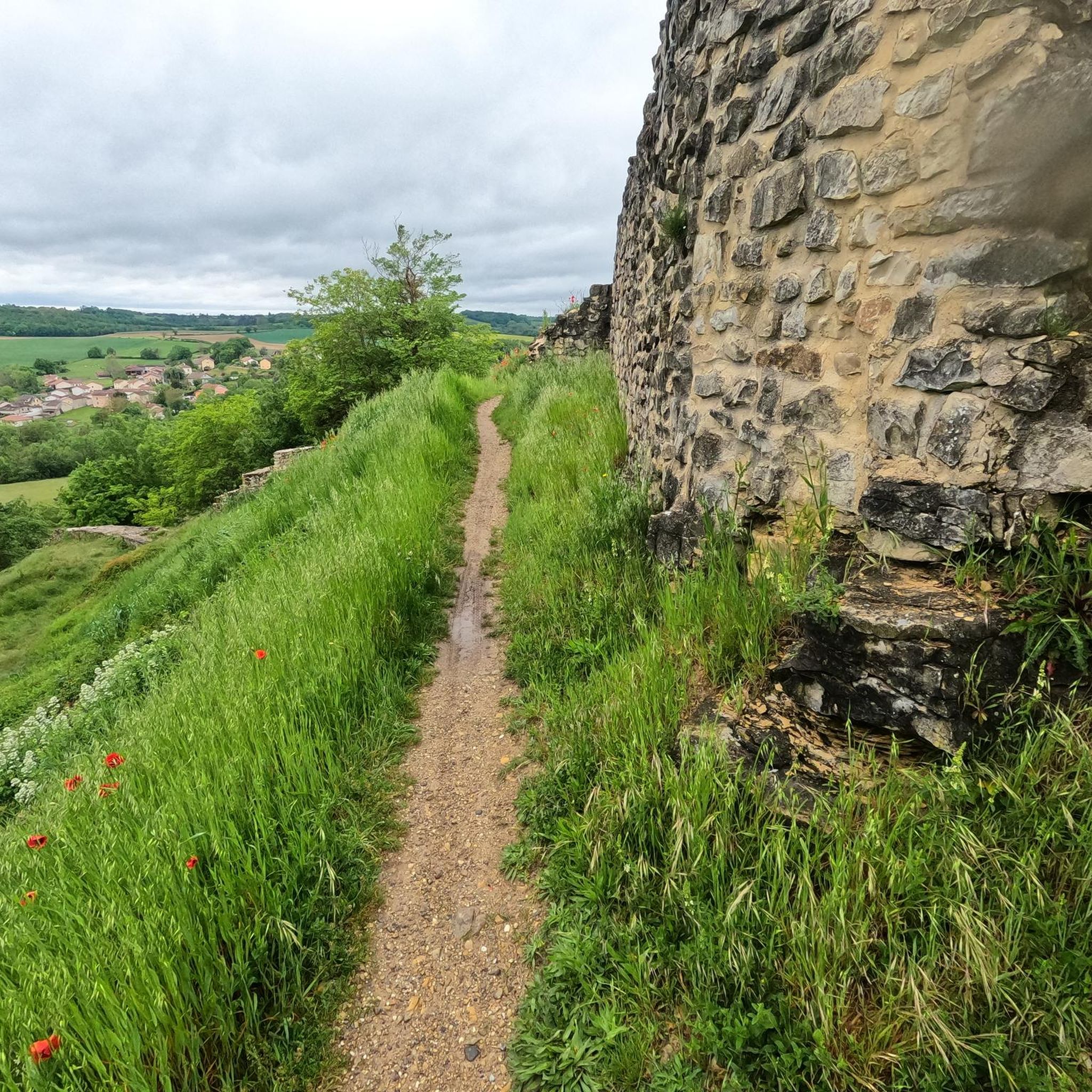
Road cycling routes around La Verpillière often incorporate local historical sites and natural features. You can pass by the historic Château de Fallavier, which offers elevated views from Relong hill. Many routes also feature picturesque ponds like the Lake Saint-Quentin-Fallavier and the Étang de Chalignieu.
Are there any circular road cycling routes in La Verpillière?
Yes, many of the road cycling routes around La Verpillière are designed as loops. For example, the popular Greenway Along the Canal – Turquoise Pond loop from La Verpillière is a 18.8-mile (30.2 km) moderate route that takes you along a greenway and past the Turquoise Pond.
What do other road cyclists think about the routes in La Verpillière?
The road cycling routes in La Verpillière are highly rated by the komoot community, with an average score of 4.5 stars from over 18 reviews. Cyclists often praise the varied terrain, which includes greenways, local ponds, and gentle hills, offering options for different ability levels.
Are there any longer road cycling routes for more experienced riders?
For more experienced riders looking for longer distances, routes like the Bel Air Pass – Vers le col de Bel Air loop from La Verpillière offer a substantial challenge. This route covers 37.6 miles (60.6 km) through varied terrain towards the Bel Air Pass, with significant elevation gain.
Can I find routes that offer scenic views or viewpoints?
Absolutely. Many routes provide scenic vistas, particularly those that pass by the various lakes and ponds in the area, such as the View of the Étang de Moras. The historical Château de Fallavier, situated on Relong hill, also offers elevated views of the surrounding landscape.
What is the typical duration for road cycling routes in this region?
The duration of road cycling routes around La Verpillière varies significantly based on distance and difficulty. Shorter, easier loops might take around 1 hour 20 minutes, while longer, moderate routes, such as the Vienne – View of Vienne loop from La Verpillière, can take over 3 hours to complete.
Are there any routes that connect to nearby towns or offer a different perspective of the region?
Yes, some routes extend further, offering connections to other areas. The Vienne – View of Vienne loop from La Verpillière is a good example, providing a longer ride of over 71 km and offering views towards the historic town of Vienne, showcasing more of the Isère department's diverse landscape.
What kind of natural features can I expect to encounter on road cycling routes?
The natural features you'll encounter include greenways, which are dedicated paths for cyclists and pedestrians, and numerous local ponds and small lakes. The region's landscape is generally characterized by agricultural fields and gentle rolling hills, providing a pleasant backdrop for road cycling.
Most popular routes around La Verpillière
Most popular attractions around La Verpillière

Get inspired with the komoot mobile app


Explore more
Browse the best Road cycling routes in other regions.
