The best road cycling routes around Camarès
4.5
(18)
545
riders
23
rides
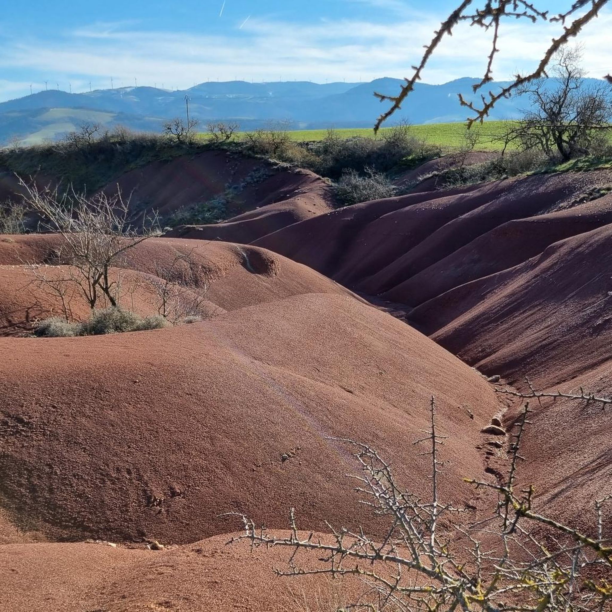
Road cycling routes around Camarès traverse a landscape characterized by varied terrain, including river valleys, plateaus, and hills. The region features numerous "cols" or mountain passes, indicating significant elevation changes and challenging climbs. Red earth formations, known as "Rougier," are also present, offering distinct scenic elements. This area of Aveyron provides a diverse environment for road cyclists seeking both moderate and difficult routes.
Best road cycling routes around Camarès
- The most popular road cycling route is Saint-Affrique – Saint-Affrique loop…
Last updated: July 29, 2026
25
riders
57.8km
02:35
560m
560m
Moderate road ride. Good fitness required. Some segments of this route may be unpaved and difficult to ride.
4.0
(1)
12
riders
62.9km
02:48
570m
570m
Moderate road ride. Good fitness required. Some segments of this route may be unpaved and difficult to ride.

Sign up for free
12
riders
63.5km
03:17
1,080m
1,080m
Hard road ride. Very good fitness required. Some segments of this route may be unpaved and difficult to ride.
5.0
(1)
10
riders
47.5km
02:31
680m
680m
Moderate road ride. Good fitness required. Some segments of this route may be unpaved and difficult to ride.
3
riders
47.0km
02:27
760m
760m
Moderate road ride. Good fitness required. Mostly well-paved surfaces and easy to ride.
Get access to more routes and recommendations from other explorers.
Sign up for free
Already have an account?
Our route recommendations are based on thousands of hikes, rides, and runs completed by other people on komoot.
Start today with a free account
Your next adventure awaits.
Login or Signup
Tips from the Community

The Saint-Martin quarry reveals another facet of the landscape around Brusque. Behind the reliefs and valleys that one crosses by bike lies a resource exploited by humans: limestone, extracted here in the form of aggregates used for public works and land development.
0
0
From this viewpoint, Camarès reveals a facet of its identity. Notre-Dame de Camarès, a former collegiate church founded in the Middle Ages, and the castle of the lord of Pont, a former seigneurial residence, form a remarkable silhouette. These two monuments bear witness to the historical importance of the town and its strategic location above the valley.
0
0
The Pont Vieux de Camarès is a privileged stopover to discover the identity of the village. This old crossing of the Dourdou bears witness to the importance of transit routes in local history. From the bridge, the view combines the river, the facades of the village and the Saint-Michel church, offering a beautiful reading of the link between built heritage and landscape.
0
0
The Col de la Croix de Mounis is one of those passes where you don't just cross a slope, but a true border between two valleys. Perched at an altitude of about 800 meters, in the heart of Haut-Languedoc, it connects the Mare valley to that of the Dourdou. For a long time, this pass was a strategic crossing point between Lacaune and Saint-Gervais-sur-Mare. Before modern roads, it was already part of a local circulation network, used by muleteers and stagecoaches, where villages, markets, and valleys were connected via routes dictated by the terrain. The current road still retains something of this logic: it doesn't cut through the mountain, it goes around it and "negotiates" it.
0
0

Saint-Affrique itself, even though I only passed through quickly, it's already a small town, I didn't find any particular charm. It's not ugly, it's not particularly beautiful either. It has the merit of existing.
0
0

To see this place in the middle of fields and woods.
0
0

Small valley, big road. Moderate traffic
0
0
Frequently Asked Questions
What types of terrain can I expect on road cycling routes around Camarès?
Road cycling routes around Camarès feature a diverse landscape, including river valleys, plateaus, and hills. You'll encounter numerous "cols" or mountain passes, indicating significant elevation changes and challenging climbs. The region is also known for its distinctive red earth formations, locally called "Rougier," which add a unique scenic element to your ride.
Are there road cycling routes suitable for beginners in Camarès?
While many routes in Camarès feature significant climbs, there are options for various ability levels. The region offers a mix of moderate and difficult routes. For a less strenuous option, you might consider the Saint-Affrique – Saint-Affrique loop from Camarès, which is rated moderate and covers 35.9 miles with over 1,800 feet of elevation gain.
What are some challenging road cycling routes with significant climbs near Camarès?
For experienced cyclists seeking a challenge, Camarès offers routes with substantial elevation gains. The Col de la Croix de Mounis – Col du Coustel (883 m) loop from Camarès is a difficult 39.6-mile path with over 3,500 feet of climbing. Another demanding option is the Sié Pass 999 m – Lacaune loop from Camarès, a 73.7 km route with nearly 1,430 meters of ascent.
Are there circular road cycling routes available from Camarès?
Yes, many of the road cycling routes around Camarès are designed as loops, allowing you to start and finish in the same location. Examples include the popular Saint-Affrique – Saint-Affrique loop from Camarès and the scenic Le Rougier de Camarès – Les Montagnettes loop from Camarès.
What is the typical duration for road cycling routes in Camarès?
The duration of routes varies depending on their length and difficulty. For instance, the moderate Saint-Affrique – Saint-Affrique loop from Camarès typically takes about 2 hours 35 minutes, while the more challenging Col de la Croix de Mounis – Col du Coustel (883 m) loop from Camarès can take around 3 hours 20 minutes.
What do other road cyclists say about the routes in Camarès?
The road cycling routes in Camarès are highly regarded by the komoot community, holding an average score of 4.3 stars from over 7 reviews. Cyclists often praise the varied terrain, challenging climbs, and the unique scenic elements like the red earth formations.
Are there any scenic viewpoints or natural attractions along the road cycling routes?
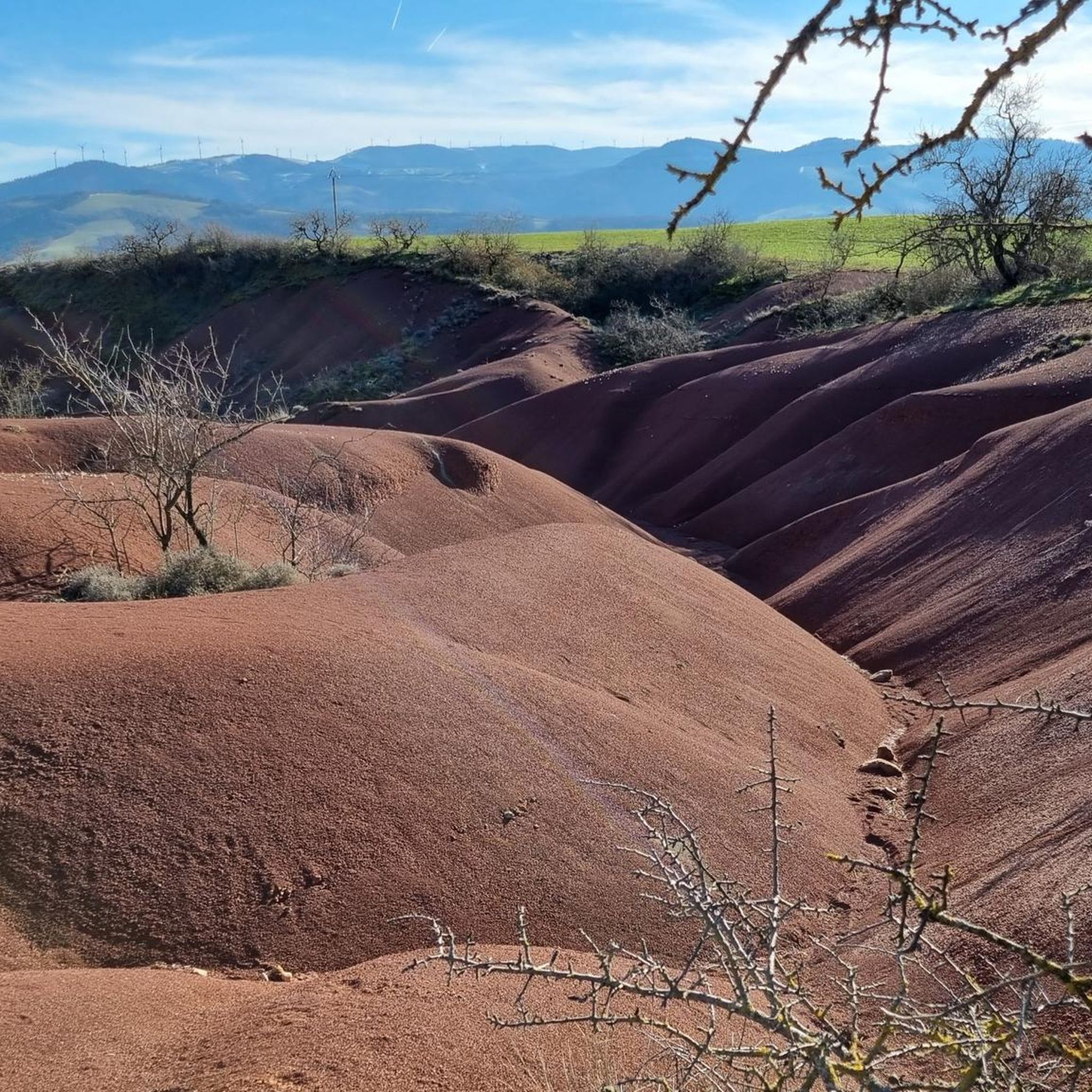
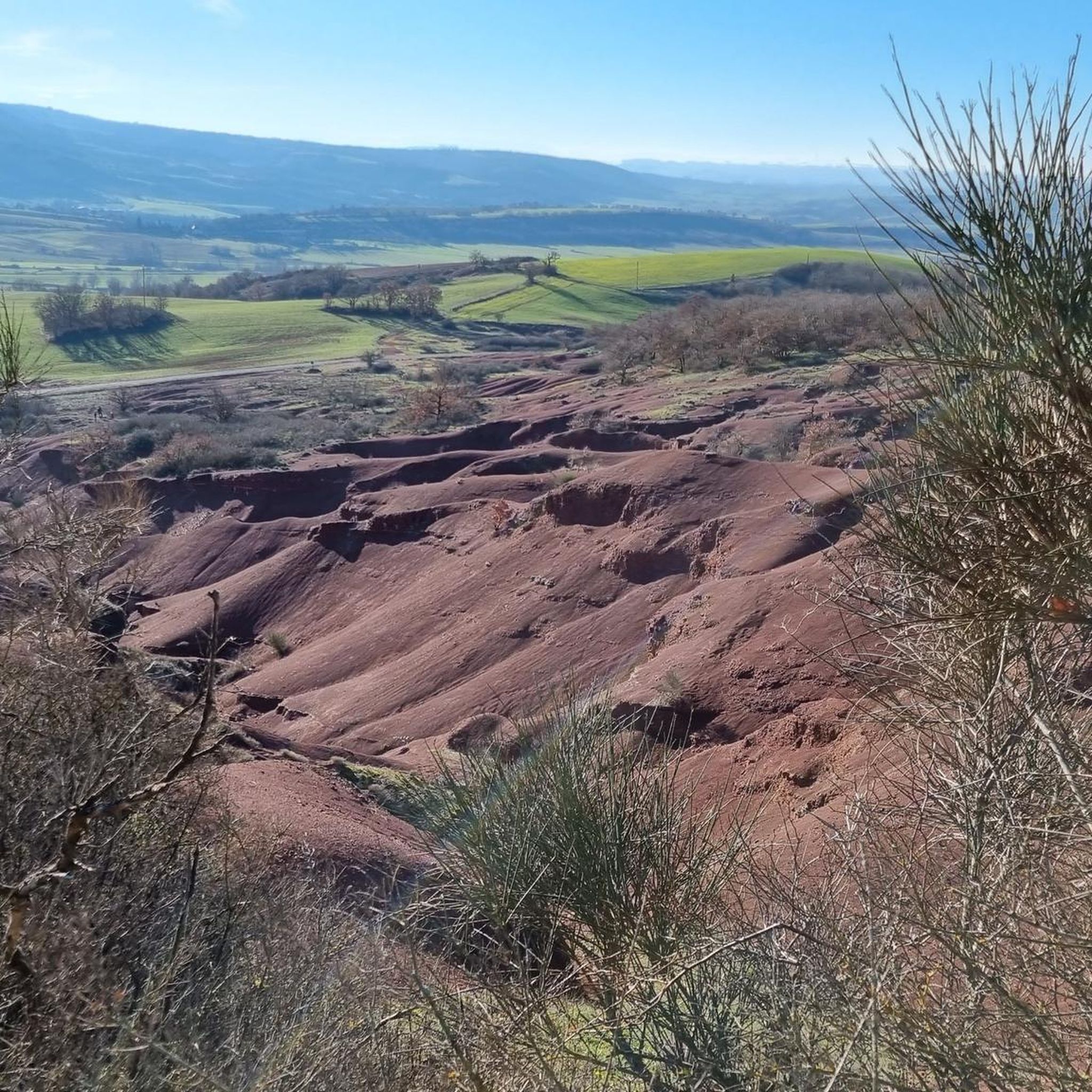
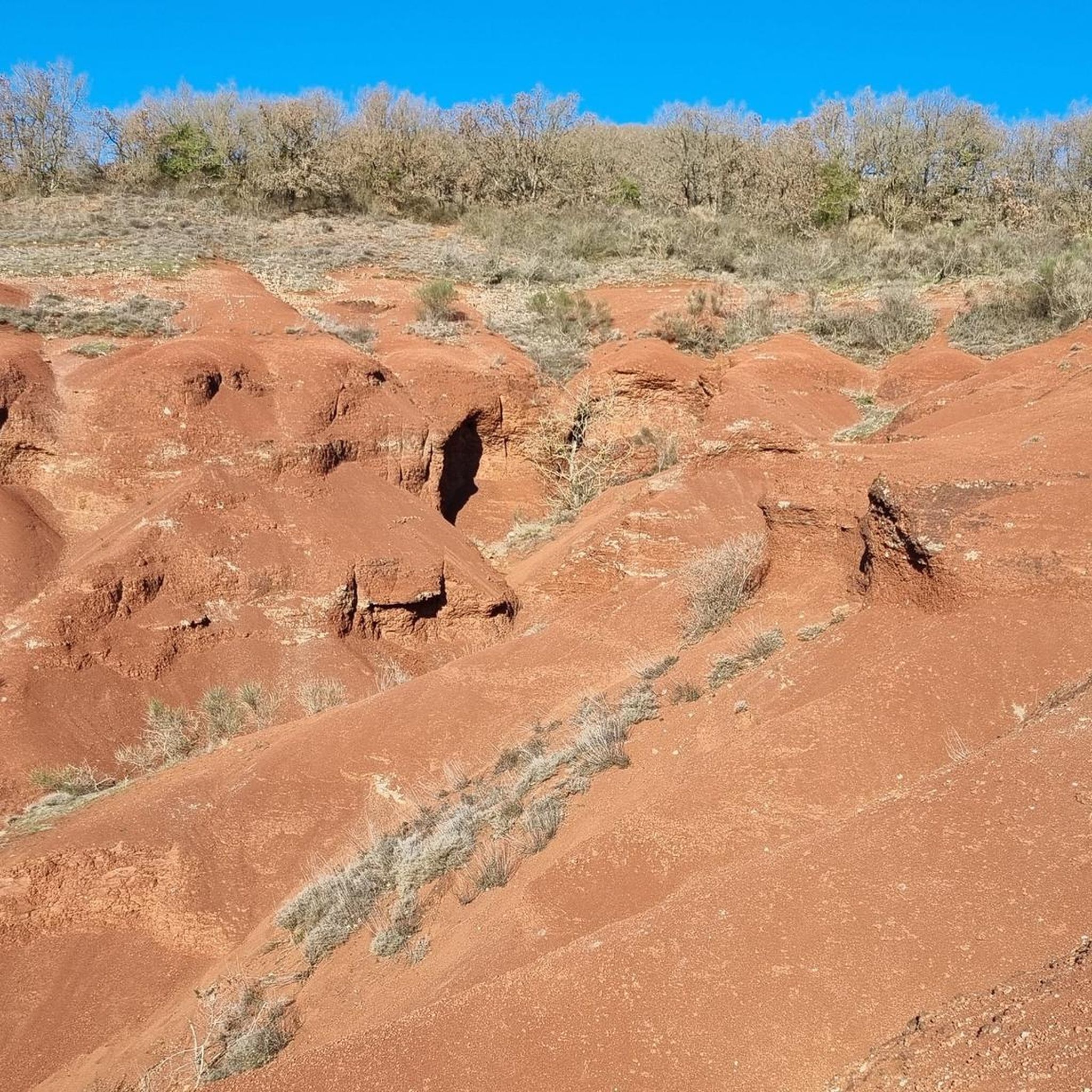
Yes, the region offers several scenic spots. You can experience the distinctive red earth landscape of Le Rougier de Camarès. Other highlights include various points offering a Magnificent view or a broad Panorama, perfect for a short break during your ride.
What cultural or historical landmarks can be found near the cycling routes?
Beyond natural beauty, you can discover cultural sites such as the Sylvanès Orthodox Church, which offers a glimpse into the region's heritage. The Croix del Pas is another point of interest that cyclists might encounter.
How many road cycling routes are available in the Camarès area?
There are over 15 road cycling routes available around Camarès on komoot, offering a wide range of options for different skill levels and preferences.
Is there a route that specifically explores the 'Rougier' red earth landscape?
Yes, the Le Rougier de Camarès – Les Montagnettes loop from Camarès is a 29.5-mile (47.5 km) trail that specifically leads through the distinctive red earth landscape, offering a unique visual experience.
What is the elevation gain like on the more difficult routes?
The more difficult routes in Camarès feature significant elevation gains. For example, the Col de la Croix de Mounis – Col du Coustel (883 m) loop from Camarès includes over 3,500 feet (1,080 meters) of climbing, while the Col de Notre-Dame (664 m) loop from Camarès has over 3,000 feet (917 meters) of ascent.
Most popular attractions around Camarès

Get inspired with the komoot mobile app


Explore more
Browse the best Road cycling routes in other regions.
