The best running trails around La Bastide-Pradines
4.4
(150)
11,405
runners
292
runs
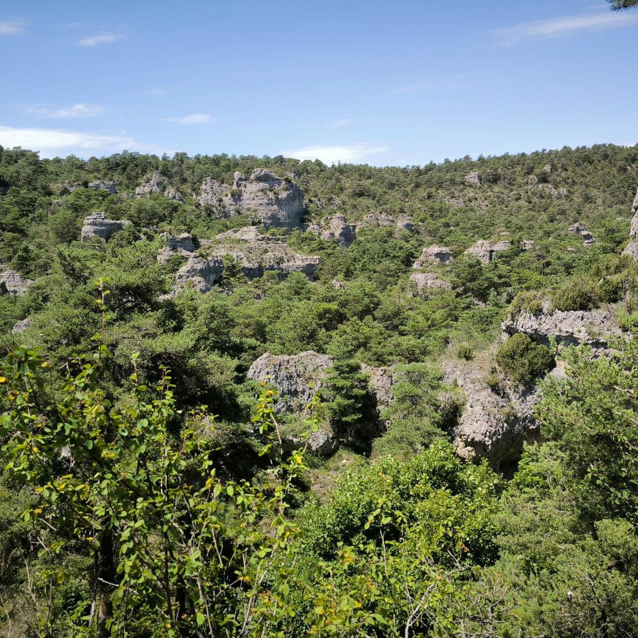
Jogging around La Bastide-Pradines offers diverse terrain within the Grands Causses Regional Natural Park, an area known for its ecological significance. The region features varied landscapes, from dense forests to expansive limestone grasslands, providing a scenic backdrop for running. Situated on a rocky outcrop, the village overlooks the Cernon Valley, contributing to routes with varied elevations and panoramic views. The Larzac plateau shelters the area, with trails winding through its unique flora and dry grasslands.
Best jogging routes around La…
Last updated: October 25, 2026
4.5
(2)
33
runners
12.6km
01:44
400m
400m
This difficult 7.9-mile jogging loop from Lapanouse-de-Cernon offers varied terrain, fossils, and stunning views in the Grands Causses.
285
runners
24.3km
03:24
1,050m
1,050m
Hard run. Very good fitness required. Mostly paved surfaces.

13
runners
9.91km
01:16
380m
380m
Hard run. Very good fitness required. Mostly paved surfaces.
5
runners
7.61km
00:50
100m
100m
Moderate run. Good fitness required. Mostly paved surfaces.
3.0
(1)
3
runners
12.9km
01:34
150m
150m
Hard run. Good fitness required. Sure-footedness, sturdy shoes and alpine experience required.
Get access to more routes and recommendations from other explorers.
Already have an account?
Our route recommendations are based on thousands of hikes, rides, and runs completed by other people on komoot.
Start today with a free account
Your next adventure awaits.


Tips from the Community

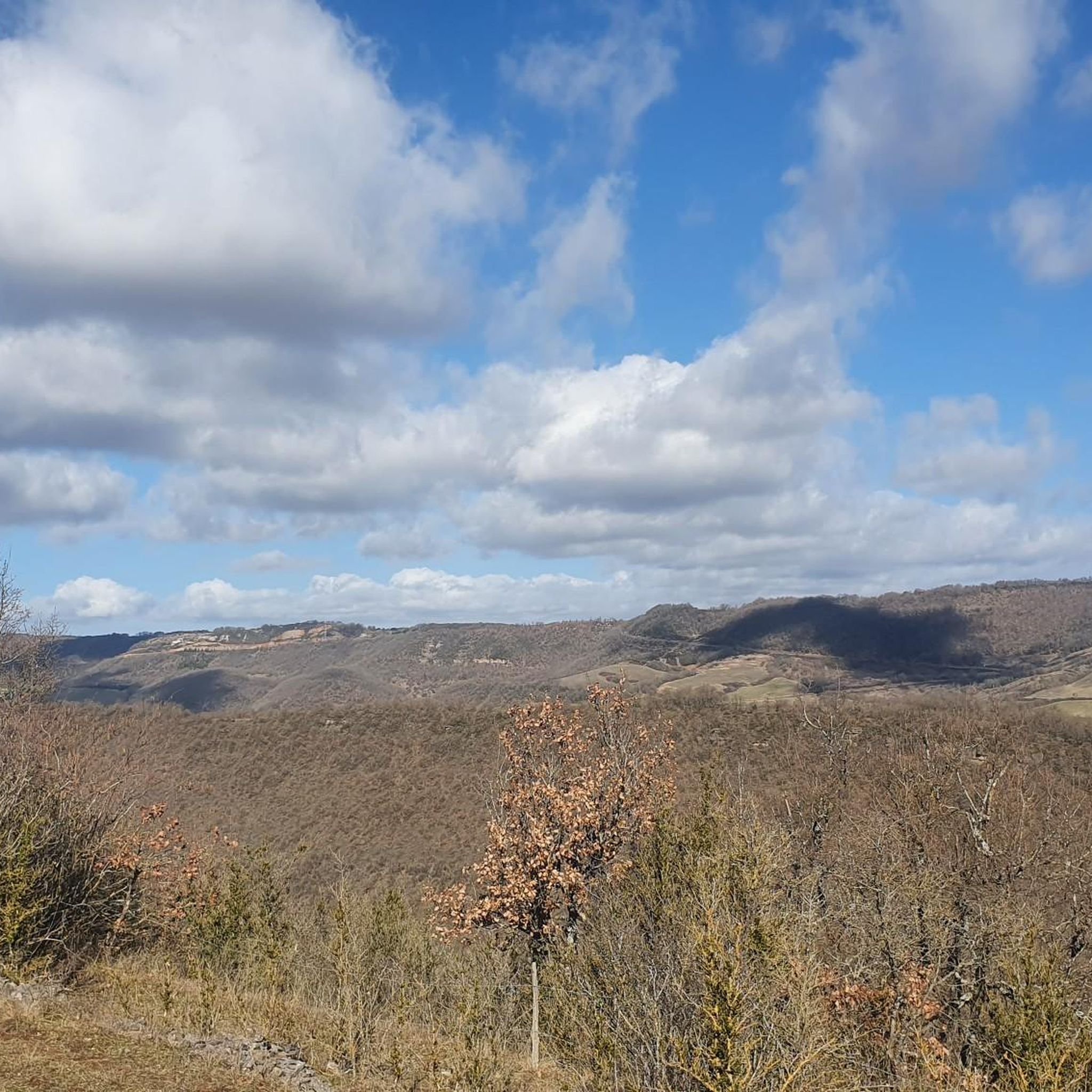
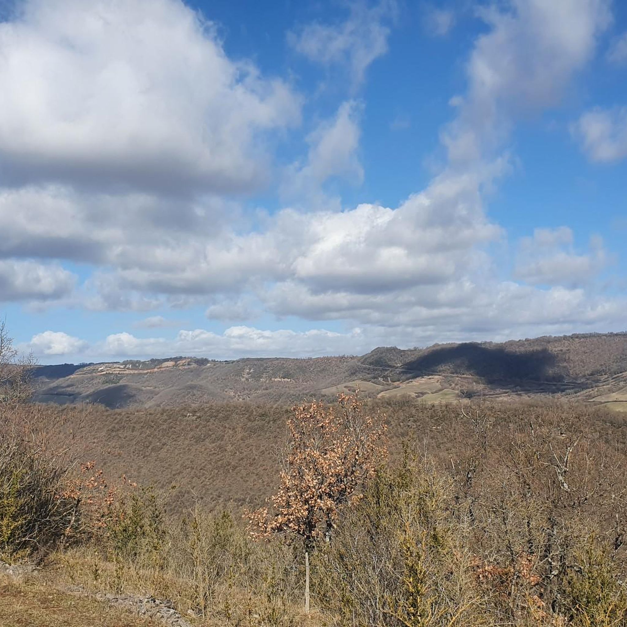
From the Larzac plateau, the Brunas site offers a vast panorama of the Millau valley. Stretched between the two banks of the Tarn, the viaduct with its seven concrete piers appears in its entirety. Behind it unfolds the entire causse Rouge, a large limestone plateau whose undulations dominate the valley. Then, the Puech d’Andan is distinguished by its wooded silhouette, cut in two by a clear central notch. Further to the right stands the Pouncho d'Agast, a pyramidal promontory marking the beginning of the causse Noir at an altitude of 841 m. Brunas is also a true site for free flight. The take-off area is located directly on the plateau; the site is mainly used with a north wind and allows paragliders to take off and then land in the vicinity of the same sector, with approximately 370 m of elevation difference down to the valley. The spectacle of the sails evolving in front of the viaduct adds a particular dimension to this panorama.
3
0
From the Larzac plateau, the Brunas site offers a vast panorama of the Millau valley. Stretched between the two banks of the Tarn, the viaduct with its seven concrete piers appears in its entirety. Behind it unfolds the entire Causse Rouge, a large limestone plateau whose undulations dominate the valley. Then, the Puech d’Andan is distinguished by its wooded silhouette, cut in two by a clear central notch. Further to the right stands the Pouncho d'Agast, a pyramidal promontory marking the beginning of the Causse Noir at an altitude of 841 m. Brunas is also a real site for paragliding. The take-off area is located directly on the plateau; the site is mainly used with a north wind and allows paragliders to take off and land near the same area, with an altitude difference of about 370 m to the valley. The spectacle of the sails evolving in front of the viaduct adds a special dimension to this panorama.
3
0
Perched at an altitude of about 730 meters, the Cap de Coste viewpoint overlooks the eastern end of the Boundoulaou cirque. It reveals a vast panorama of the Millau basin and its surrounding massifs. To the left, the easily recognizable Millau Viaduct spans the Tarn valley to connect the Larzac to the Causse Rouge. Further to the right stretches the latter: a large limestone plateau whose undulations dominate the valley. Then, the Puech d’Andan stands out with its wooded silhouette, cut in two by a clear central notch. Finally, further away, the Pouncho d’Agast, an emblematic relief of the Causse Noir, is easily recognized by its profile like a true limestone pyramid.
3
0
Perché at an altitude of approximately 730 meters, the Cap de Coste viewpoint overlooks the eastern end of the Boundoulaou cirque. It reveals a vast panorama of the Millau basin and its surrounding massifs. To the left, the easily recognizable Millau Viaduct spans the Tarn valley, connecting the Larzac to the Causse Rouge. Further to the right stretches the latter: a large limestone plateau whose undulations dominate the valley. Then, the Puech d’Andan stands out with its wooded silhouette, cut in two by a clear central notch. Finally, further away, the Pouncho d’Agast, an emblematic relief of the Causse Noir, is easily recognized by its profile like a true limestone pyramid.
3
0

Starting from Croix de Crepounac (small parking lot very close by, located in the hairpin bend of the road), you can hike relaxed along the rock edge and enjoy the wonderful view. Those who prefer it more sporty can ascend from Tournemire.
0
0

History and nature an ideal mix
0
0

Very nice viewing platform with information board about the Millau Bridge
0
0

The chapel is called Croix de Crépounac
0
0
Frequently Asked Questions
How many running routes are available around La Bastide-Pradines?
There are over 270 dedicated running routes around La Bastide-Pradines, offering a wide variety of options for all skill levels. These trails are part of the extensive network within the Grands Causses Regional Natural Park.
What kind of terrain can I expect on the jogging trails in La Bastide-Pradines?
The terrain is highly diverse, ranging from dense forests to expansive limestone grasslands characteristic of the Grands Causses Regional Natural Park. You'll find varied elevations, especially overlooking the Cernon Valley, and trails across the Larzac plateau. This variety provides different running surfaces and experiences, from shaded forest paths to open, expansive routes.
Are there running routes suitable for beginners or those looking for an easier jog?
Yes, among the numerous options, there are nearly 20 easy running routes available. For example, the Brunas Viewpoint – Cap de Coste Viewpoint loop from Devez-Nouvel is a moderate 7.6 km path with less elevation gain, offering a good option for a less strenuous run.
What are some notable landmarks or viewpoints I can see while running in the area?
Many routes offer stunning views and pass by significant landmarks. The distinctive Rocher du Lion is a prominent natural rock formation with panoramic views. You can also find routes that lead to viewpoints like Cap de Coste Viewpoint or the Millau Viaduct Viewpoint, offering breathtaking scenery of the surrounding landscape and the Cernon Valley.
When is the best time of year to go jogging in La Bastide-Pradines?
Spring is particularly beautiful for running, as the Larzac plateau comes alive with seasonal flora like orchids and asphodels. June offers the unique sight of 'angel's hair grass'. The region's diverse landscapes make it enjoyable throughout much of the year, but spring and early summer provide an especially vibrant backdrop.
Are there any circular running routes available?
Yes, many of the running routes around La Bastide-Pradines are circular, allowing you to start and finish at the same point. An example is the challenging Maquisards Circuit Trail N15, a 12.6 km loop featuring varied terrain and historical elements.
Can I find routes that incorporate historical sites or cultural elements?
Absolutely. The region has a rich history, and some routes pass by historical points of interest. For instance, the Grotte des Résistants – Rocher et chapelle St Pierre loop from Tournemire passes by the Grotte des Résistants, offering a glimpse into the area's past while you run.
What do other runners say about the trails in La Bastide-Pradines?
The running routes in La Bastide-Pradines are highly rated by the komoot community, with an average score of 4.38 stars from over 120 reviews. Runners often praise the diverse landscapes, the stunning panoramic views, and the well-preserved natural environment of the Grands Causses Regional Natural Park.
Are there challenging running routes for experienced runners?
Yes, the area is known for its challenging terrain, with over 115 difficult routes available. The Grotte des Résistants – Rocher et chapelle St Pierre loop from Tournemire is a difficult 24.3 km path with significant elevation gain, ideal for experienced runners seeking a robust workout and continuous scenic views.
Are there any running routes that follow old railway lines or historical paths?
Yes, the disused railway line that crosses the village offers potential for flatter, more consistent jogging experiences. Additionally, historical paths like the old mule track, or 'laysse', once used by the Hospitaliers, provide routes steeped in history, often passing by points of interest and offering continuous scenic views.
What are the typical distances and durations for jogging routes in this area?
The routes vary significantly in length and duration. You can find shorter runs, like the Grotte des Résistants – Devèze de Lapanouse loop from Lapanouse-de-Cernon at 9.7 km, typically completed in about 1 hour 16 minutes. Longer, more challenging routes can extend up to 24 km or more, taking several hours to complete.
Most popular routes around La Bastide-Pradines
Most popular attractions around La Bastide-Pradines

Get inspired with the komoot mobile app


Explore more
Browse the best Running Trails & Routes in other regions.
